Crossrail 2 Under De Beauvoir Town
Crossrail 2 will go under De Beauvoir Town on its route through East London. This map from the Crossrail 2 web site shows the safeguarded area around De Beauvoir Square.
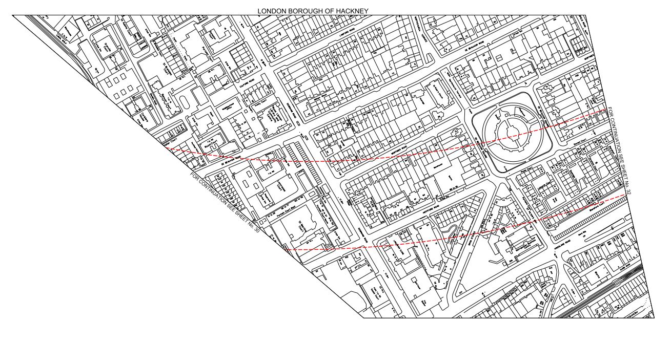
Crossrail 2 In De Beauvoir Town
The safeguarded area is shown with a red border. As with most of these maps, I’m posting, north is to the right and east is to the bottom. Hopefully, TfL will post some better and more understandable maps soon.
Crossrail 2 certainly won’t affect me, if I’m still around, as I live to the north-west of the square.
But as I explained in this post about Crossrail 2 At Dalston, the line will have to go deep to get under High Speed One, so I suspect that noise and vibration during construction and operation will be no worse than that line. I haven’t stood over High Speed One and tried to experience the trains, but does anybody know if they can heard or felt from above?
Incidentally, I can’t find any reports on the Internet about any problems.
As I also believe that stations will be built from the tunnel up, with all spoil being taken out through the tunnel and that as there seem to be no proposals to build any access shafts in the Dalston and De Beauvoir areas, I can see too much surface disruption being a problem.
To help matters there seems to be no plans to create massive stations as at Moorgate, Bond Street and Tottenham Court Road on Crossrail.
Hopefully Crossrail 2 will be a London’s first stealth railway!

[…] post entitled Crossrail 2 Under De Beauvoir Town, shows some maps and pictures and gives my thoughts in […]
Pingback by Crossrail 2 Through East London « The Anonymous Widower | March 29, 2015 |