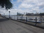
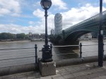
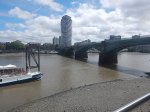
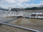
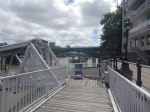
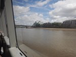
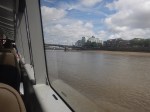
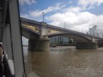
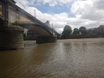
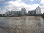
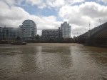
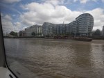
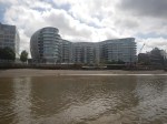
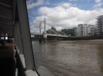
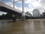
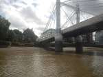
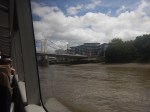
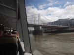
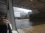
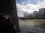
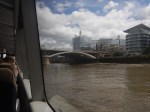
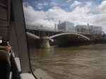
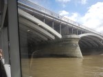
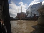
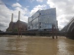
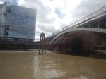
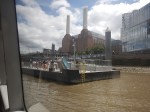
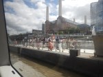
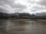
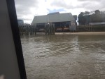
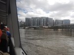
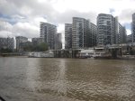
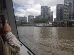
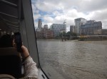
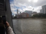
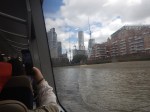
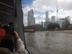
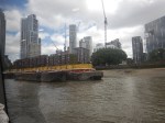
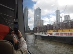
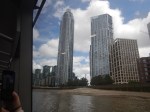
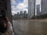
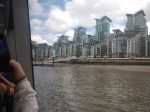
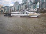
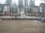
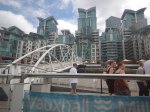
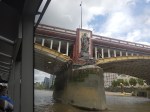
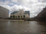
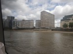
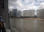
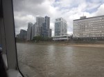
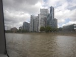
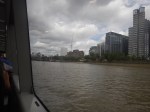
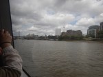
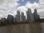
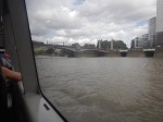
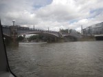
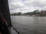
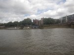
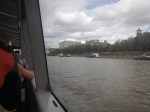
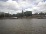
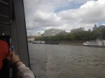
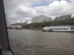
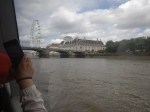
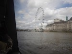
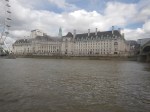
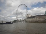
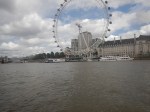
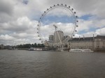
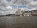
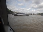
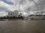
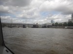
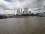
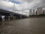
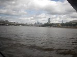
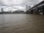
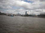
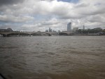
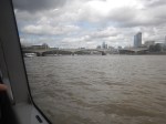
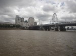
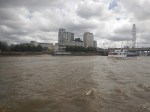
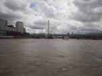
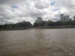
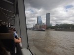
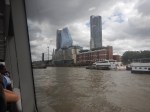
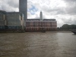
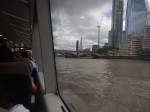
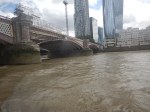
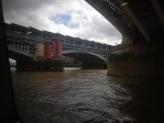
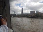
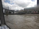
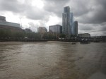
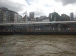
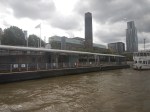
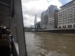
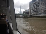
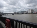
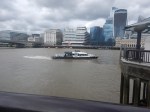
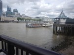
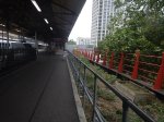
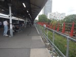
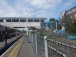
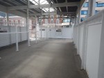
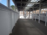
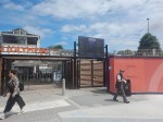
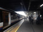
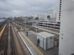
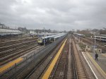
A Cruise Back From Chelsea Harbour Pier To London Bridge City Pier
Chelsea Harbour Pier is just about nine minutes walk from Imperial Wharf station, but the signposting could be better.
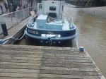
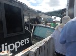
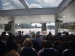
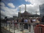
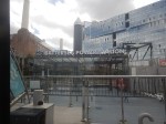
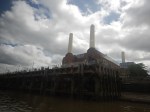
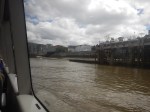
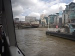
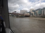
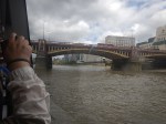
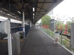
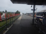
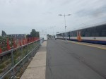
I took these pictures as I came back along the Thames from Chelsea Harbour Pier To London Bridge City Pier, from where I caught a 141 bus home.


Note.
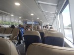
- I sat on the right side of the boat.
- The boat was built at Cairns in Queensland, Australia.
- We don’t buy many manufactured goods from Australia.
- There is a small snack bar on the boat.
- Battersea Power Station Pier was busy.
- Western Riverside Waste Authority (WRWA) is the statutory body, or local authority, responsible for the management of the waste delivered to it by Hammersmith & Fulham, Kensington & Chelsea, Lambeth and Wandsworth. It has a web site.
- I tapped in and out with my faithful credit card.
Although Imperial Wharf and my local station at Dalston Kingsland are on the same London Overground line, using the Thames Clipper made a worthwhile change.
Is This The Fastest Way To Olympia?
The new Olympia Exhibition Centre is difficult to get to. Or it certainly is for me in East London.
I do have a train from my local station at Dalston Kingsland direct to Kensington (Olympia) station.
But as I indicated in Kensington (Olympia) Station – 16th June 2026, Kensington (Olympia) station doesn’t have lifts.
But lifts aren’t needed at Kensington (Olympia) station, if you use the bay platform of the District Line or the Northbound West London Line, as both platforms are level access.
As the District Line only runs occasionally, that’s not much use, but the West London Line has three stations to the South.
- Clapham Junction is good if you’re coming by National Rail, but it doesn’t have an Underground connection.
- Imperial Wharf serves mainly the local housing, but it is only a 250 yard walk to the River bus at Chelsea Harbour Pier.
- West Brompton is an interchange with the District Line with trains to Barking, Edgware Road and Wimbledon.
I wouldn’t be surprised that as more people visit Olympia, they will go via West Brompton.
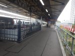
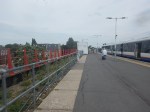
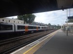
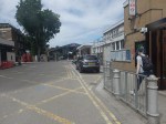
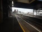
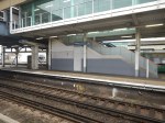
Clapham Junction Station – Platform 0 – 18th June 2026
As I passed through Clapham Junction station, I took these pictures of Platform 0.
Note.
- Platform 0 has the red brackets along the back.
- Platform 1 has the Class 378 train for Stratford parked in it.
- There is a useful Costa Coffee, with a waiting room behind it on the platform.
Little seems to have changed since I wrote Barriers And Planters On The London Overground Platforms At Clapham Junction Station, except that the barriers and planters have been removed.
A Simple Way The Overground Could Operate
Surely, if Stratford trains used Platform 1 as they do now and Dalston Junction trains used the new Platform 0 would enable a much faster interchange between the two halves of the South London Line.
This OpenRailwayMap shows some platforms at Clapham Junction station.
Note.
- The orange tracks are generally tracks in platforms.
- The blue dots are platform numbers.
- The top orange line in Platform 1.
- The dotted line will be Platform 0.
I suspect that with a few extra junctions, the two halves of the South London Line could access the opposide sides of the island platform 0 and 1.
It would certainly speed up passengers on their way between East London and the Olympia Exhibition Centre.
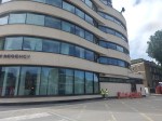
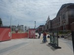
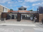
Kensington (Olympia) Station – 16th June 2026
The refurbished Olympia Exhibition Centre is now open, so I went to have a look and took these pictures.
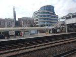
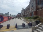
As it was a hot day and the Overground was playing up, I only got as far as the station.
- The Victorian building and the new Hyatt Regency hotel looked good from the outside.
- There were also toilets inside the updated station.
- As the owners appear to have spent £1.3 billion and six years on the refurbishment, you’d have thought, they would have put in a bridge with lifts at the station of the venue.
- There is a step-free route, that avoids the bridge, but it is a 600 metre walk.
- An affordable cafe would be nice too!
But then all the celebs, influencers and Z-listers wouldn’t turn up in a train!
Train Journeys Increase 25% After Rail Upgrade
The title of this post, is the same as that of this article on the BBC.
This is the sub-heading.
Rail journeys have jumped in the first week of upgraded train services between Newquay and Par.
These three paragraphs add more details to the story.
Figures from Great Western Railway show journeys climbed by almost 25%, with 726 more journeys between 17 and 23 May than over the same period in 2025.
It follows the launch of the £57m Mid Cornwall Metro scheme, funded by the UK government and Cornwall Council.
The first phase focuses on the Newquay to Par line, where services have been boosted to up to 15 trains a day during the week. Further plans will extend services to Truro, Penryn and Falmouth next year. Direct summer services between London Paddington and Newquay have also been reinstated, said GWR.
It does appear, that when you improve these branch lines, then people use them.
In recent years, this has happened on the Borders Railway, the London Overground, the Dartmoor Line, the Levenmouth rail Link and the Northumberland Line, to name just five.
I feel we need to reinstate more lines like this.
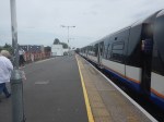
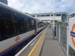
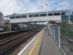
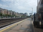
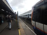
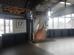
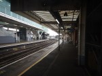
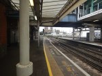
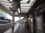
Platform 17 At Clapham Junction Station
I took these pictures at Clapham Junction station this morning.

Note.
- The double-platform 1/2 is the main platform for the London Overground at Clapham Junction station.
- Platform 1 handles trains from Stratford station via the North and West London Lines
- Platfom 2 handles trains from Dalston Junction station via the East and South London Lines
- I arrived today in Platform 2 from Whitechapel station.
- Platform 17 is decidedly curved.
- Platform 16, which is used by trains going the other way, is also curved.
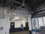
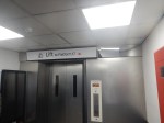
- Both Platform 16 and 17 have lifts to the station’s main overbridge.
Currently, some minor upgrade work is being carried out on the station.
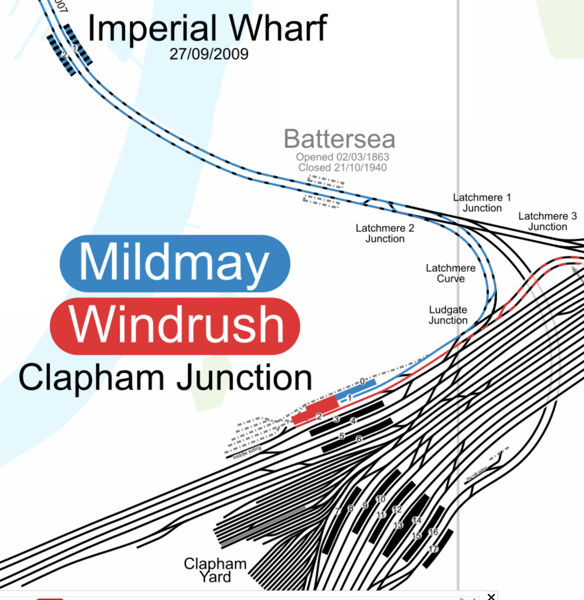
The Platform Layout At Clapham Junction Station
This map from CartoMetro shows the platform layout at Clapham Junction.
Note.
- Mildmay services from Stratford on the North and West London Lines are shown in blue and terminate in Platform 1.
- Windrush services from Dalston Junction on the South London Line are shown in red and terminate in Platform 2.
- Platform 17 is the Southernmost of the platforms at Clapham Junction.
Platforms are more or less numbered 1 to 17 from North to South.
How Long Did It Take Me To Walk Between Platforms 1 And 17?
It took me five minutes this morning, but the bridge wasn’t crowded.
How To Carry A Suit On A London Overground Train
I took this picture this morning on a London Overground train.
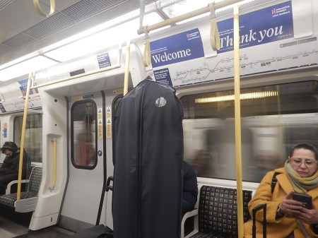
I’ve never ever seen anybody do this before.
But, I suppose it is fairly logical.
I would expect it would work on other trains, like the Underground.
Olympia Partners With TfL To Boost Peak-Time Mildmay Line Services
The title of this post, is the same as that as this press release from Transport for London.
These two bullet points act as sub-headings.
- Olympia, London’s newest entertainment destination, is funding 16 extra peak‑time services per weekday, providing increased capacity to support rising demand on this part of the Mildmay line as well as reducing customer journey times
- The additional shuttle services will depart from Clapham Junction Platform 17, with three services in the morning peak and five in the evening peak
These two paragraphs add more details.
Customers will benefit from easier access to the transformed Olympia, set to become London’s newest destination for entertainment, culture and hospitality, as well as Westfield London and improved links to other TfL services
Customers will benefit from more frequent services between Clapham Junction and Shepherd’s Bush from Monday 18 May, as Transport for London (TfL) introduces additional peak weekday shuttle services on the Mildmay line.
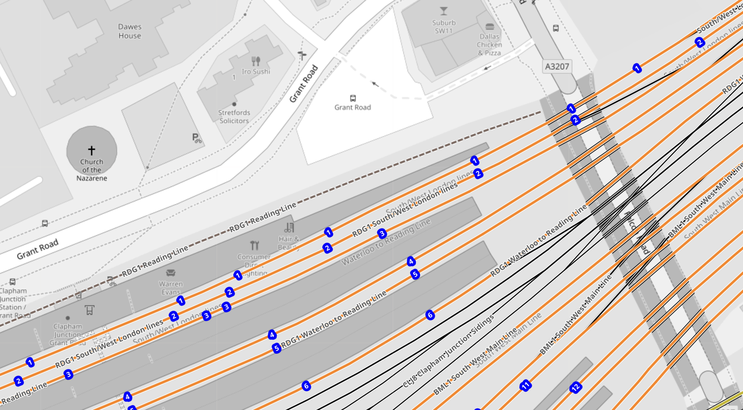
This map from CartoMetro shows how trains will get to Platform 17 at Clapham Junction.
Note.
- Mildmay services from Stratford on the North and West London Lines are shown in blue and terminate in Platform 1.
- Windrush services from Dalston Junction on the South London Line are shown in red and terminate in Platform 2.
- Platform 17 is the Southernmost of the platforms at Clapham Junction.
The new services will take the same route as Southern’s Watford Junction and East Croydon service through Clapham Junction.
- Trains will go through Imperial Wharf station and Latchmere 2 Junction.
- They will then take Latchmere 1 Junction and pass under the lines to get to Platform 17.
- There is a crossover between the two tracks, so that trains can get on the left-hand track.
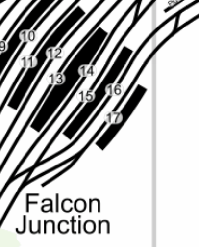
This second CartoMetro map shows Platforms 16 and 17 to a larger scale.
Note.
- Platform 17 doesn’t look very long, but it is 172 metres.
- Five-car Class 378 trains are 101.35 metres, so should fit.
- The crossover, that will be used by returning shuttle trains is clearly visible in the top-right corner.
It does appear though that there will need to be no major trackwork needed for the new service.
I do have one thought.
Will Clapham Junction Station Get A Platform 0?
This was proposed in Will Clapham Junction Station Get A Platform 0?, but there is no mention of it in the press release, although Michael Volkert, who is CEO of Olympia estates does say this.
The new train services will depart from platform 17 at Clapham Junction. Existing services to Stratford will continue to operate from Platform 1. For the latest travel information customer should check TfL Go, Journey Planner on the TfL website or station departure screens.
Commuters will have to hone their ducking and diving skills.
Planning Approval Granted For Network Rail’s Transformation Of Liverpool Street — Britain’s Busiest Station
The title of this post is the same as that of this article in Rail Technology Magazine.
This is the sub-heading.
Network Rail has secured a major milestone in the redevelopment of Liverpool Street station, following the City of London Planning Committee’s resolution on 10 February to grant full planning permission for the long‑awaited transformation of the UK’s busiest rail hub.
These two paragraphs adds some more detail.
The Eastern Region’s Anglia Route will oversee the upgrade, which aims to futureproof the station for decades as passenger numbers continue to grow sharply. Liverpool Street, last redeveloped in 1991, now handles 118 million passenger movements each year, and demand is projected to rise by 35%, reaching 158 million by 2041.
Looking further ahead, planners expect the station will need to accommodate over 200 million annual journeys, making capacity enhancement essential for maintaining operational performance and customer experience across London, East Anglia and the wider east of England.
To say this is a large project would be a massive understatement and I wish, that this could have been the last project planned and built by the Artemis project management system, that I wrote in a Suffolk attic fifty years ago.
This list summarises the work that will be done.
- 76% increase in overall concourse capacity
- 23% expansion of the lower concourse to smooth passenger flow
- Step‑free access from street to all platforms, including every Underground line for the first time
- Eight new large lifts, replacing the existing four‑person unit
- Escalators increased from four to ten
- New accessible entrances and intuitive wayfinding from Broadgate, Exchange Square, and key interchange points
- Toilets on all levels, including Changing Places facilities and family amenities
Respecting Heritage While Creating New Spaces
The project safeguards the station’s Victorian character, with the iconic trainshed fully preserved. The redevelopment will also create new vantage points overlooking the heritage structures, bringing passengers visually closer to the original architecture.
Above the concourse, a new office building featuring a publicly accessible roof garden will provide one of London’s most sustainably connected workplaces, directly supporting the City Corporation’s long‑term growth and employment aspirations.
Around twenty major contractors and professional firms will be handling the transformation.
Hopefully, I will be able to watch this project as it grows to occupy its place in the City of London.
Can The Signalling Of The London Overground Be Improved?
An article on Modern Railways Online is entitled First To Succeed Arriva On London Overground.
These are two paragraphs of the article.
Under the new concession, which runs for eight years, First Rail London Limited (FRLL) will introduce extra peak time trains on the Mildmay Line from May 2026, more frequent trains on the Windrush Line from December 2026 – up to 18 trains per hour – and upgrade help points and CCTV.
It will also introduce ‘targeted upgrades’ on the Mildmay Line infrastructure to “boost performance for customers.”
It would appear that the signalling is being improved.
So I asked Google AI, the question in the title of this post and received this reply.
Yes, London Overground signalling is actively being improved through major projects like the Windrush Line upgrades (aiming for 18-20 trains per hour) and South London signalling modernisation (Alstom’s new system for better reliability), allowing for increased capacity, faster journeys, and fewer delays, although these upgrades involve planned disruptive works.
It would appear that the improved signalling will lead to more faster and better services.
These have been indicated in the Modern Railways article.
- Extra peak time trains on the Mildmay Line
- More frequent trains on the Windrush Line
I would also expect more freight, open access and other special trains to be able to use London Overground tracks to pass through London.
London has a rail capacity problem, for both freight and passenger trains.
This report from Network Rail is entitled The London Rail Freight Strategy (LRFS).
I have written a series of posts based on this report.
- Decarbonisation Of London’s Freight Routes
- Doubling Harlesden Junction
- East Coast Main Line South Bi-Directional Capability
- Gauge Improvements Across London
- Gospel Oak Speed Increases
- Headway Reductions On The Gospel Oak To Barking, North London and West London Lines
- Heavy Axle Weight Restrictions
- Kensal Green Junction Improvement
- Longhedge Junction Speed Increases
- Moving The West London Line AC/DC Switchover To Kensington Olympia
- Moving The West London Line AC/DC Switchover To Shepherd’s Bush
- Nunhead Junction Improvement
- Stratford Regulating Point Extension
- Will Camden Road Station Get A Third Platform?
- Will Clapham Junction Station Get A Platform 0?
There is certainly work to be performed on London’s railways to increase the total number of freight trains, that pass through and around the capital.
Conclusion
I believe that as has been shown on the Lizzie Line, Thameslink, the East Coast Main Line and other lines around the world, that the number of trains per hour on the Overground can be increased to meet the objectives stated in the Modern Railways article.
What Is The Peak Frequency Of The East London Line?
I asked Google AI, the question in the title of this section and received this reply.
The East London Line (now part of the Windrush Line, London Overground) has peak frequencies of around every 4-6 minutes (10-15 trains per hour) on its busiest sections, though some parts might see higher frequencies, generally offering a very frequent service through East London during peak times. Specific frequency can vary by section (e.g., Stratford-Lewisham, Canary Wharf-Lewisham), but generally, you can expect trains every few minutes during weekday rush hours (around 06:30-09:30 & 16:00-19:00).
I do think that Google AI has got its DLR and its East London Line mixed up.
But even if we accept that current East London Line service needs 15 tph and the new capacity will be the Modern Railways article figure of 18 tph, that’s still an increase of 3 tph through the Thames Tunnel-section of the East London Line.
What Is The Peak Frequency Of The North London Line?
I asked Google AI, the question in the title of this section and received this reply.
The North London Line (NLL), part of London Overground, typically runs 8 trains per hour (tph) during weekday peaks, with plans to increase this with infrastructure upgrades like digital signalling and longer trains to meet growing demand and integrate with Crossrail/HS2. While 8tph has been a target, the line also carries significant freight, impacting passenger service frequency, with older plans aiming for 6-8tph peaks and even longer trains (3-4 cars) for capacity.
The peak frequency of trains on the North London Line appears less than the East London Line, so I would assume, that like the East London Line, it could probably squeeze in another 3 tph.
When you consider that the working day is over eighteen hours, 3 tph means nearly an extra sixty trains per day on both the the East and North London Lines.
Could This Extra Capacity On The East and North London Lines Created By Improved Signalling Be Used For Extra Services?
Consider.
Every train of the service, would need its own path.
- A typical four tph Overground service like Dalston Junction and New Cross would need four paths per hour.
- A typical freight service would need a dedicated path.
- A typical long-distance passenger service would need a dedicated path.
There are certainly possibilities.
