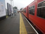
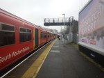
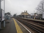
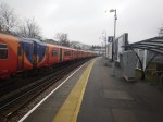
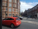
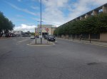
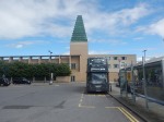
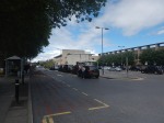
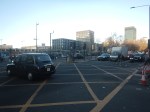
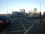
FlixBus Launches New Coach Services For Luton DART Parkway
The title of this post, is the same as that of this article on Luton Today.
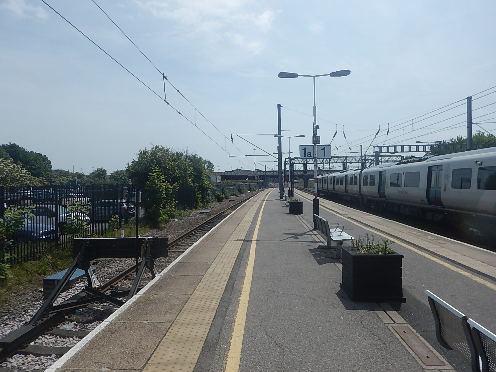
These paragraphs describe the service.
Coach brand FlixBus is announcing the launch of a new service between Norwich and Luton DART Parkway from 25 May.
Tickets between Norwich and Luton DART Parkway start at £8.99, while tickets between Thetford and Luton DART Parkway start at £8.49, and tickets between Cambridge and Luton DART Parkway start at £6.99.
Six daily departures each way will offer travellers a convenient, affordable link between East Anglia, Cambridgeshire and Luton airport, ahead of the busy summer season.
Could This Service Be Run By A Hydrogen-Powered Coach?
Luton and Norwich is around 160 km.
So six round trips would be under 2,000 km, which could be run, by two coaches having one fill-up per day.
The Coach Calls At The University Of East Anglia
This will be very convenient for some.
Should The Coach Stop At Newmarket?
Because of the horse racing industry, there are a lot of people travelling between Newmarket and the Dublin area, and the most convenient route is to fly between Luton and Dublin.
Conclusion
This service will be a winner.
To Norbiton For A Plate Of Lovely Liver
I seem to need a lot of Vitamin B12.
- I am coeliac, which probably means I don’t absorb enough out of my food.
- Although, when my gallstones were removed, the surgeon had a look and said everything was good.
- When Homerton Hospital found my Uncomplicated Pancolonic Diverticular Disease, that I talked about in I’ve Got Uncomplicated Pancolonic Diverticular Disease, they also said everything else was good.
- In the United States, Vitamin B12 is given to stroke patients to help recovery.
- I’ve had Vitamin B12 injections for nearly thirty years, since they were prescribed by Addenbrooke’s hospital.
Certainly, I find that a Vitamin B12 injection doesn’t seem to have the same effect, it had twenty years ago. So, is my brain saying, I’ll have that, when I have an injection?
When I lived in Suffolk and I felt my Vitamin B12 was low, I’d go down the pub or carluccio’s in Cambridge or Bury and have a plate of liver.
But liver is rare in London restaurants and Carluccio’s don’t serve it any more.
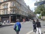
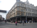
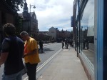
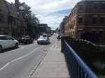
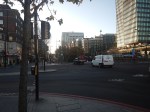
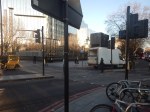
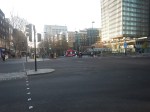
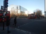
A guy in the reader’s comments in The Times told me of a restaurant called the Trattoria Calabrese, that sold liver in sage butter yesterday. So today, I took a train to Norbiton to get myself some extra Vitamin B12.
These pictures describe my first visit to Norbiton.

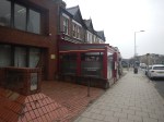

The short walk to the restaurant from Norbiton station was very much worth it. I shall go back!
The Lady On The Train
One of the most amazing people, I’ve ever met was a New York State Supreme Court Judge. It is wrong to guess a lady’s edge, but she was about my age; late seventies, black, well-dressed and sat down next to me in Second Class with the biggest smile on her face on the train between Cambridge and London.
She was at a legal conference of senior judges from all over the world at Cambridge University and was going exploring in London.
The reason for the smile was extraordinary. When she went to the ticket counter, she was surprised that the Pakistani-as-she-described him ticket guy asked for her age. He then asked, if she would be doing any other travelling in the UK and when she said yes, he sold her a Senior Railcard as well. She had found it such a surreal experience, that would never have happened in the States that she was still laughing, when the sat down.
She could of course have been not just a New York State Supreme Court Judge, but a full United States Supreme Court Judge and I’d misheard, although I doubt she would have been one of Trump’s picks last time around.
I do hope that when Trump finds himself in the United States Supreme Court as he inevitably will, that she is there to give her verdict.
Council Opposes Six Track Plan For East West Rail
The title of this post, is the same as that of this article on the BBC.
This is the sub-heading.
Councillors have voted to oppose part of a major railway line being built through their district.
These four paragraphs add detail to the story
Bedford Borough Council wants the East West Rail (EWR) line to be made up of four tracks, rather than six, in the Poets area north of the town.
Thirty-seven homes would need to be demolished in order to accommodate the two additional tracks.
However, in their full-council meeting on Wednesday, members agreed to support other parts of the project, such as the relocation of Stewartby station and the closure of Kempston Hardwick.
An EWR spokesperson said it was committed to working with local communities.
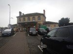
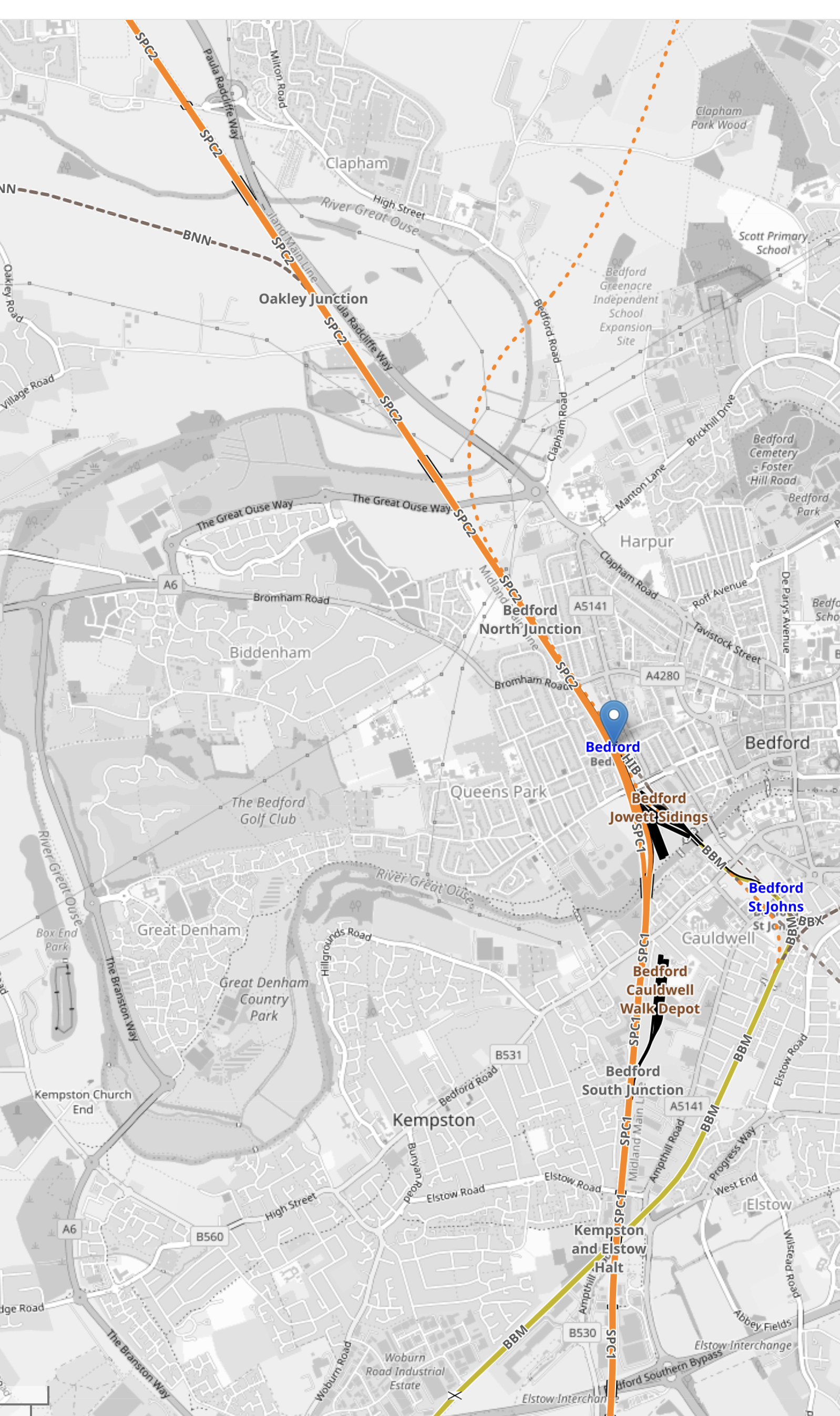
This OpenRailwayMap shows the Midland Main Line and the East-West Rail through Bedford.
Note.
- The solid orange line running from the North-West corner of the map to its Southern edge is the electrified Midland Main Line.
- The blue arrow on this line indicates Bedford station.
- The blue lettering to the South-East of Bedford station, indicates Bedford St. Johns station.
- The yellow line connecting the two stations is the Eastern end of the Marston Vale Line, which connects Bedford and Bletchley stations.
- The Marston Vale Line will be taken over by the East-West Rail.
- Just North of Bedford station is Bedford North junction.
The East-West Rail branches away from Bedford North junction to the North-East on its way to Cambridge. It is shown as a dotted orange line.
This OpenRailwayMap shows Bedford station to a larger scale.
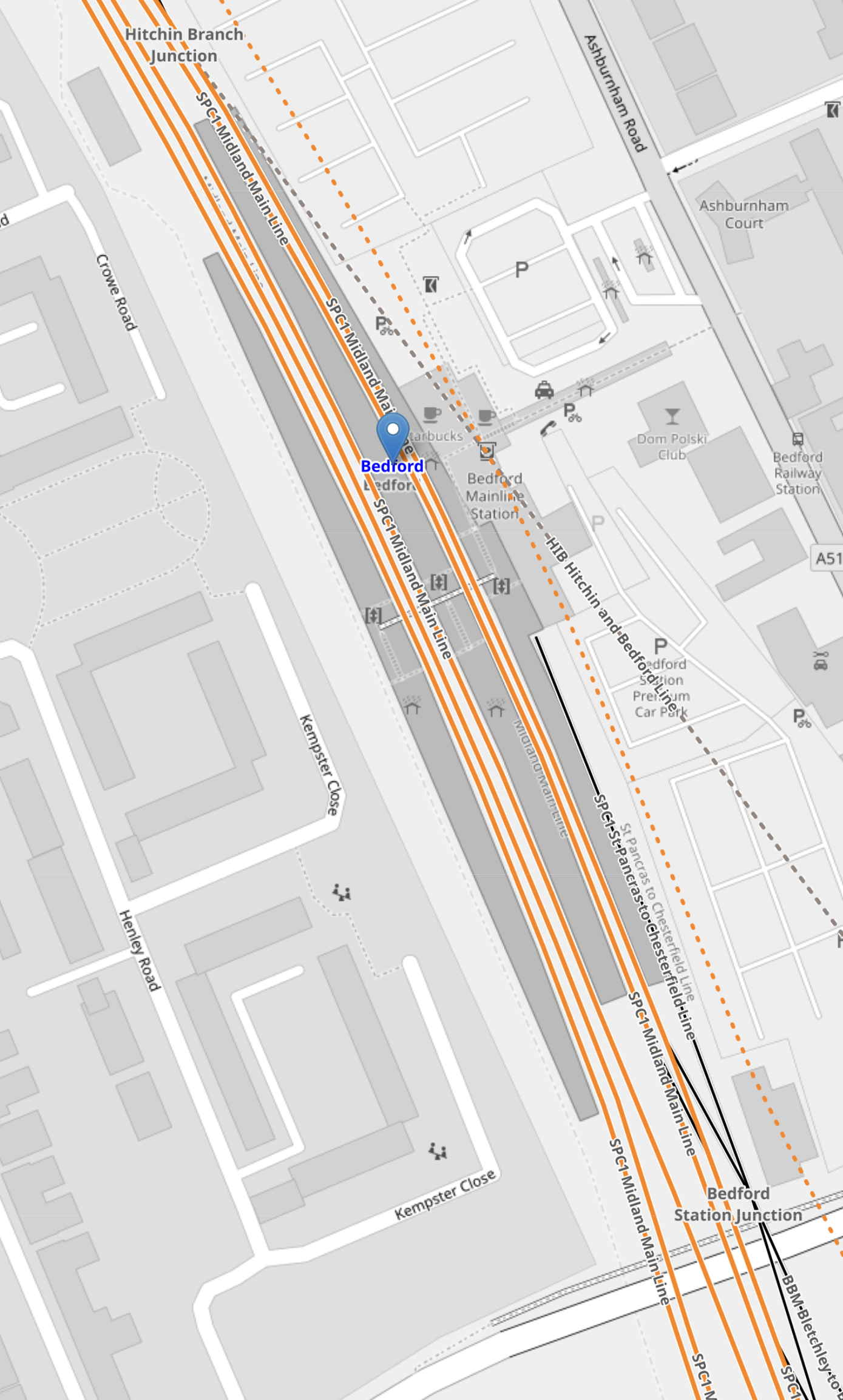
Note,
- The Western pair of orange lines are the current fast lines of the Midland Main Line.
- The Eastern pair of orange lines are the current slow lines of the Midland Main Line.
- To the East the orange dotted line shows indicates a proposed route of the East-West Rail.
- There appear to be crossovers that allow East-West Rail services to use Platforms 1 and 2 through Bedford station.
Between the Midland Main Line and East-West Rail platforms, the current Platform 1A used by the Marston Vale Line can be seen.
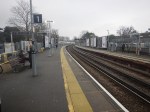
This picture show the current Marston Vale Line platform at Bedford station,
Note.
- The Marston Vale Line platform is on the left.
- It is numbered 1A.
- The platform is electrified, so can it be it used to terminate some Thameslink services.
It could also be used to terminate East-West Rail services from the West and if they were battery-electric trains they could be charged.
Oxford and Bedford is 51 miles or 82 kilometers, which is within range of a modern battery-electric train. Es[ecially, if it did a ‘splash and dash’ at Milton Keynes Central or Bletchley!
This OpenRailwayMap shows the lines to the North of Bedford station.

Note.
- The current four-track Midland Main Line running diagonally across the map.
- The East-West Rail running along on the East side and branching off to Cambridge.
- Crossovers between the Midland Main Line and East-West Rail.
It looks to me, that operation of East-West Rail trains through Bedford station will be as follows.
- Oxford to Cambridge trains will use the crossovers to call in the existing Platform 2 at Bedford station.
- Cambridge to Oxford to will use the crossovers to call in the existing Platform 1 at Bedford station.
- Trains that are not stopping could use the avoiding line along the East side of the station.
- Oxford to Bedford terminating trains, would stop in Platform 1A.
Because there would be a crossover between the Midland Main Line slow lines and the East-West Rail to the South and North of Bedford station, I suspect for operatuional reasons and safety Network Rail want a double track avoiding line.
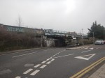
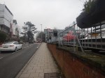
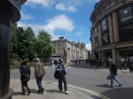
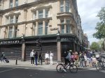
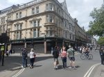
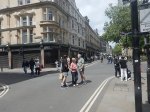
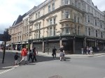
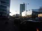
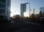
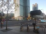
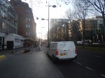
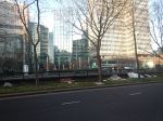
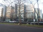
Debenhams Oxford – May 27th, 2024
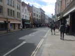
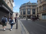
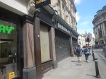
These pictures show the current state of the Debenhams store in Oxford.


This will be the first development of those, that I talked about in Crown Estate To Spend £1.5bn On New Laboratories.
- I have deliberately shown pictures of the Junction, where the Debenhams building occupies the North-West corner.
- There is a Waterstones opposite the Debenhams building, on a busy junction between George and Magdalen Streets.
- There is a bus information display on the corner.
- There are a lot of chain eateries and a pub; the Wig & Pen.
These are a few thoughts.
Does the Debenhams Building Have Any Car Parking?
I would doubt it, but there may be a need to bring in large equipment.
Taxis To And From The Station
Note.
- I took a black taxi from the station to just outside the Debenhams building and it cost me the princely sum of £5,20.
- I also noted there was a rank at the rear of the building.
- In both locations, taxis were ready to roll.
That looked reasonable.
Buses To And From The Station
Staff at Oxford station, assured me that buses were available, but due to all the road works and Bank Holiday chaos, I suspect it could be improved, when the station upgrade is complete.
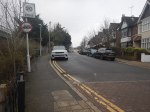
Walking To The Station
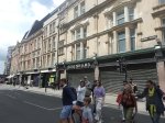
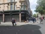
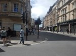
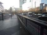
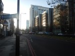
I took this second set of pictures as I walked from the Debenhams building back to the station.


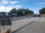
Note.
- I walked from the junction by Debenhams, along George Street.
- It was a fairly straight line and level.
- There were no signposts between Debenhams and the station.
- There was quite a bit of blocked traffic.
- The route could do with some improvement like refurbished pavements and a few direction signs.
It took me about twenty-four minutes and at 76, I walked it easily.
On entering the station, I walked straight on to the platform for my train back to Reading, which was two minutes late.
Cycling
I suspect that many will cycle to work in the Debenhams building, as it is in Oxford.
But then, I suspect the Crown Estate, their architects and builders will know the appropriate provision to make.
Is The Debenhams Building At A Good Location?
When I was around 23, I used to reverse commute to ICI in Welwyn Garden City.
This involved.
- A ten-minute walk from St. John’s Wood to Chalk Farm tube station.
- A Northern Line train to King’s Cross station.
- A suburban train to Welwyn Garden City station.
- A fifteen-minute walk to my place of work.
St. John’s Wood to Oxford would involve.
- A fourteen-minute bus ride to St. Paddington station.
- A suburban train to Oxford station.
- A twenty-minute walk to my place of work.
A Brompton bicycle would help.
Knowing Cambridge as I do, the Debenhams building would be very well-located, if it were in Cambridge in a similar location, with respect to the railway station.
I feel that the Debenhams building passes the location test.
‘Rollercoasters In My Back Yard’: Welcome To Universal Studios Bedford
The title of this post, is the same as that of this article on The Times.
This is the sub-heading.
Britain’s answer to Orlando could be a 480-acre world boasting big rides, bigger films and 7m visitors a year. Some locals are far from enchanted
These three paragraphs introduce the story.
Picture the scene: It’s a snowy Christmas Eve, 2030, at King’s Cross station. Dozens of families from across the UK and Europe gather as the station speakers announce: “The train now leaving platform 9¾ is the Hogwarts Express, calling at the Wizarding World of Harry Potter. And Bedford.”
The stuff of JK Rowling’s fiction? Perhaps not.
For, if all goes to plan, a featureless 480 acres of industrial and agricultural land a short broomstick’s ride from downtown Bedford will, by the end of the decade, become one of the world’s most spectacular theme parks.
I have a few thoughts.
Eden Project Morecambe
Eden Project Morecambe will be the first of a new generation of theme parks in the UK.
The new Eden Project is to be developed at Morecambe, which is close to Lancaster. As Lancaster will be an High Speed Two terminus, Eden Project North could be connected to HS2 by a high tech shuttle like the Luton DART. So the Eden Project North will also attract day trippers from a large proportion of England and the South of Scotland.
I believe increasingly we will see theme parks, bringing in their visitors on futuristic public transport systems.
The Location Of Universal Studios Bedford
This map from Universal Destinations & Experiences shows the location of the site of the proposed Universal Studios Bedford.
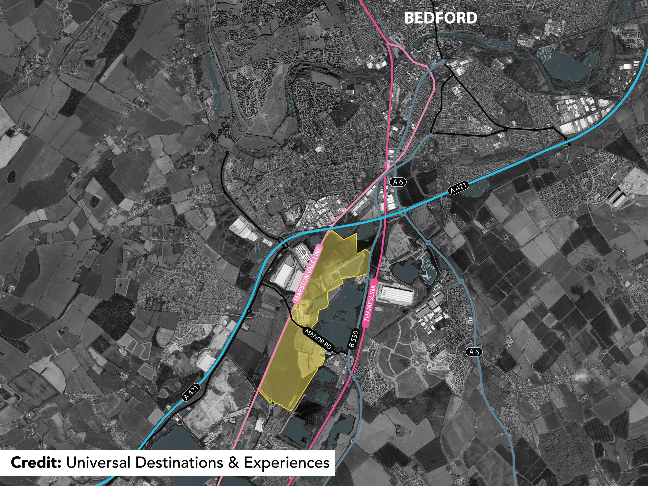
Note.
- The site is shown by yellow shading.
- The blue lines are major roads.
- The pink lines are railways.
- The rail link running to the West of the site is currently the Marston Vale Line, which is being developed into the East West Railway between Oxford and Cambridge via Milton Keynes.
- The East West Railway will also connect to Ipswich, Norwich and Reading.
- The rail link running to the East of the site is the Midland Main Line, which links St. Pancras station with Derby, Nottingham and Sheffield.
The site certainly has excellent transport connections.
Expanding Rail Connections At Universal Studios Bedford
I believe that in these days of climate change, that theme parks and other attractions like sports stadia and shopping centres will develop their rail connections.
Universal Studios Bedford could have two stations.
- Kempston Hardwick on the East West Railway.
- Their own station on the Midland Main Line.
Note.
- Both stations could be connected by a futuristic people mover transporting visitors around the site.
- Using current train times, trains would take thirty minutes between the theme park and St. Pancras for Eurostar to and from Europe.
- Thameslink’s trains could shuttle visitors to and from Luton Airport.
It should also be noted that several of Southern England’s most visited sites are just a train ride away.
Easy Places To Visit
These attractions would be easy to visit.
- Bicester Village – Direct train from Kempston Hardwick after 2024.
- Cambridge – Direct train from Kempston Hardwick after 2030.
- London – Direct train from the new station after it’s built.
- Oxford – Direct train from Kempston Hardwick after 2024.
- Woburn Safari Park – Direct train from Kempston Hardwick after 2024.
Note.
All trains would be electric or battery-electric powered.
I have assumed that rail services between Oxford and Bedford open in 2024.
I have assumed that rail services between Oxford and Cambridge open in 2030.
Conclusion
This is an interesting idea, which is at an excellent location. But will the locals like it?
British Land Unveils Plans To Transform London’s Euston Tower Into A Life Sciences And Innovation Hub
The title of this post, is the same as that of this press release from British Land.
The Wikipedia entry for the Euston Tower gives this paragraph of history.
The site was developed by Joe Levy who bought properties along the north side of Euston Road to enable him to build a complex of two tower blocks with office shops and apartments. The building, which was designed by Sidney Kaye Eric Firmin & Partners in the International style and built by George Wimpey, was completed in 1970. It is 36-storeys and 124 metres (407 ft) high. Early tenants included Inmarsat and Capital Radio.
When you get to over fifty years old, various parts of your body get tired and I suspect it is the same with buildings.
These are the two bullet points of the press release.
- Euston Tower represents a major retrofit and redevelopment opportunity at the heart of London’s Knowledge Quarter
- Proposals aim to transform the building into a world-class net zero home for world-leading life science and innovation occupiers
These two paragraphs then add a bit more vision.
Leading property company British Land has unveiled plans to redevelop Euston Tower through an innovative combination of retention, re-use and an ultra-low carbon new structure. The plans would transform the building into a pioneering, modern, net zero workspace for cutting-edge businesses of all sizes, including new world-class, lab-enabled spaces at the heart of London’s Knowledge Quarter.
Currently under discussion with Camden Council and other local stakeholders, the vision for Euston Tower will lead the way in low carbon retrofit and construction techniques, using inclusive design which creates high quality workspaces and continues to support the local community and economy. The current proposals will bring forward lab-enabled spaces for start-up and scale-up innovation businesses, as well as spaces for the local community to support education and training opportunities.
These are points from the press release.
- Leading the design are award-winning Danish architecture practice 3XN.
- They are supported by London-based architecture and landscape studio DSDHA who re-designed much of Broadgate’s public realm, including Exchange Square.
- In line with British Land’s longstanding commitment to net zero development, the design’s sustainability strategy is based on retaining, re-using and re-cycling existing material, specifying low carbon and recycled materials where new is required and only using certified carbon offsets as an action of last resort.
- This multi-layered approach to net zero development aims to create a blueprint for the sustainable redevelopment of challenging, inflexible old buildings that can be used in the future.
British Land has owned and operated Regent’s Place for nearly 40 years, which means they must have a lot of knowledge about how best to develop the building and its surroundings.
They certainly seem to be applying a modern net-zero approach to a building that was iconic and modern in the 1970s.
This afternoon I walked down the Euston Road between Euston and Great Portland Street stations and took these pictures.


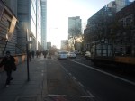
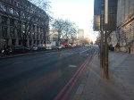


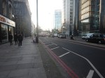

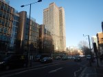

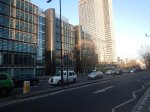
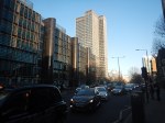
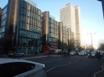

Note.
- Euston Station is a shadow of its former self.
- Euston Tower is the boxy tower on the North side of Euston Road.
- University College London Hospital (UCLH) is the tower on the South side of Euston Road.
- I believe the glass-fronted building opposite the hospital and Euston Tower contains a lot of BT infrastructure.
I have some thoughts.
Traffic Along The Euston Road
I took the pictures around 1400 in a Friday and they show how busy the Euston Road is most of the time.
According to the Wikipedia entry for the Euston Road, there was a plan to remove the underpass.
In the early-21st century, the Greater London Authority commissioned a plan to improve the road from the architectural firm, Terry Farrell and Partners. The original study proposed removing the underpass (which was subsequently cancelled) and providing a pedestrian crossing and removing the gyratory system connecting the Tottenham Court Road and Gower Street. The scheme was approved by the Mayor of London, Ken Livingstone as “the start of changing the Marylebone to Euston road from a highway into a series of linked public spaces.” The pedestrian crossing opened in March 2010. Livingstone’s successor, Boris Johnson, favours keeping the Euston Road underpass and declared it to be a good place to test his nerves when cycling around London.
Nothing is said about, where the traffic would have gone, if the underpass had been closed.
I walked along the South side of the Euston Road past the hospital and the air couldn’t be considered clean. As I write this, this website rates it Hazardous.
If we ignore the pollution for pedestrians and cyclists, is it really a road, that is fit for the purpose of moving traffic between King’s Cross and Baker Street, and vice-versa? I don’t think so!
The UK Needs More Lab Space
Cambridge innovators and developers were always saying they needed more lab space.
I also suspect, they are moaning in Oxford too!
So building high-quality space in London could reduce the pressure.
In Canary Wharf Boosts Its Science Ambitions, I talked about the ambitions of Canary Wharf to be a life sciences hub.
The Euston Tower Is Well-Connected
Consider.
- The Euston Tower is within walking distance of Euston, King’s Cross and St. Pancras stations, with all their long distance connections.
- The Euston Tower is within walking distance of Euston Square, Great Portland Street, King’s Cross St. Pancras and Warren Square stations, with all their Underground connections.
- There are buses everywhere.
But that’s not to say, that these links cannot be improved.
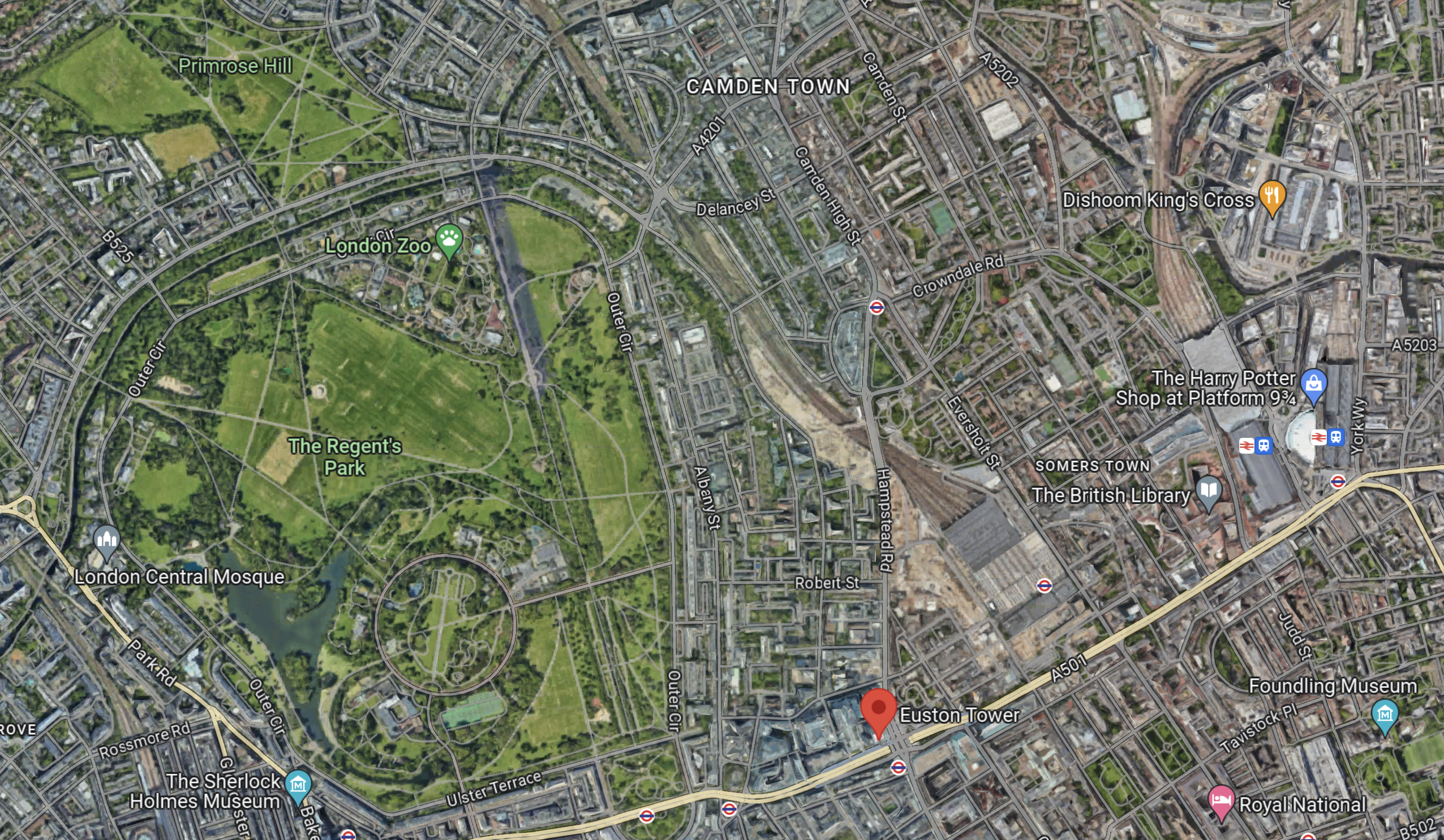
Euston High Speed Two Station Could Be Euston Tower’s Sister?
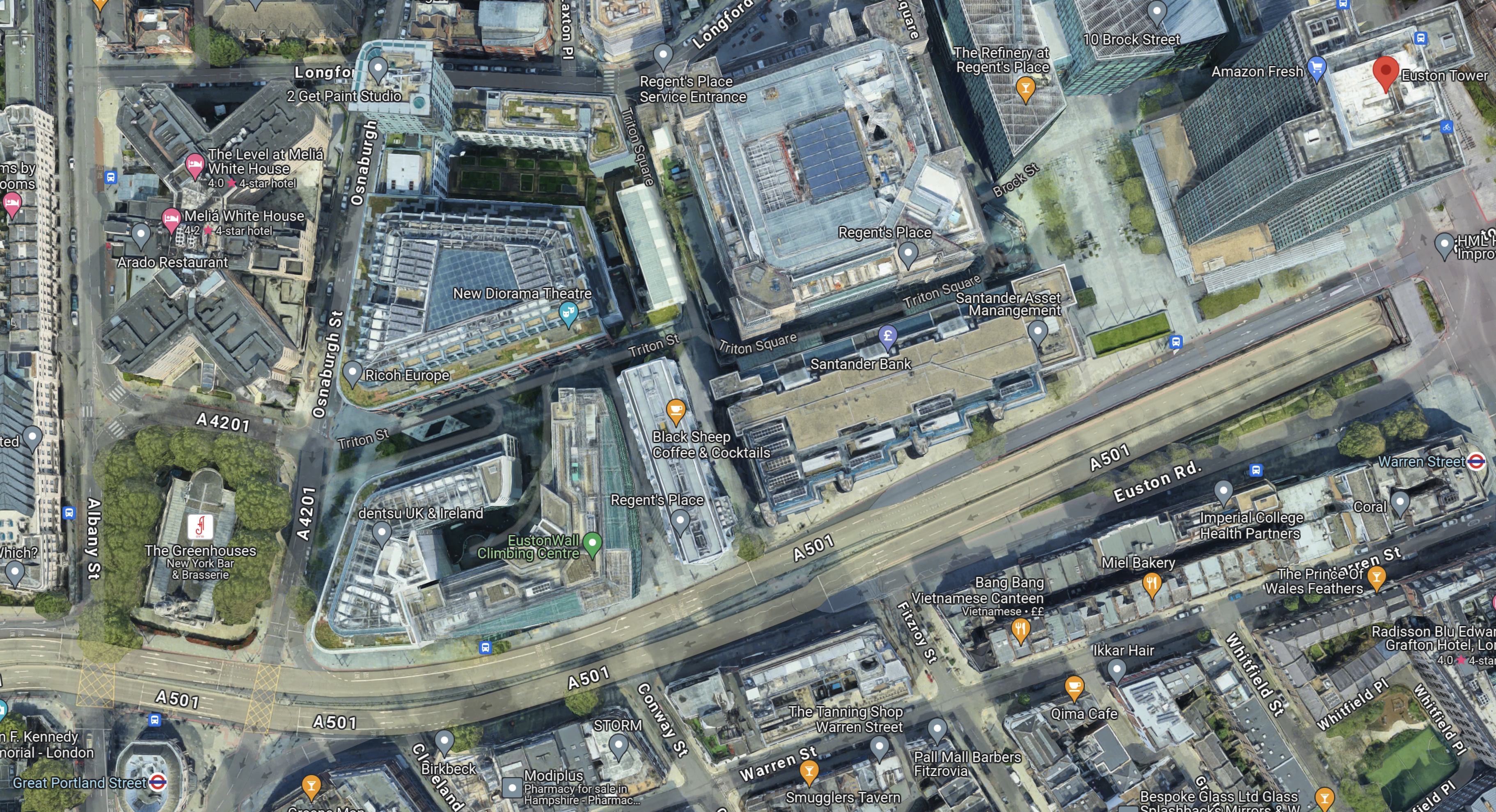
This Google Map shows the location of Euston Town and the proposed Euston High Speed Two station.

Note.
- Euston Tower is marked by a red arrow in the South-West corner of the map.
- The existing Euston station is in the North-East corner of the map.
- The High Speed Two station will be built along the Western side of the existing station.
With good landscaping, an excellent walking route, and perhaps a people mover Euston Tower could have superb connections to the rest of the UK.
Cycling And Walking Could Be A Possibility!
This Google Map shows the wider area around Euston Tower.
Note.
- Euston Tower is marked by the red arrow towards the bottom of the map.
- To its West lies the cycling- and walking-friendly spaces of Regents Park and Primrose Hill.
In the 1970s, I regularly walked or cycled across the park from where we lived near Primrose Hill to a client in Great Portland Street.
I also suspect other cycling and walking routes could be developed to Euston Tower from Euston, King’s Cross, St. Pancras and other stations.
Crossrail 2
Crossrail 2 would certainly help travelling to the Euston Tower, by linking Euston, King’s Cross and St.Pancras to North-East and South-West suburbs of London, with trains at frequencies of up to 30 thirty trains per hour (tph) in the central tunnel.
But.
- The new line will cost at least £31.2 billion. Who can afford it?
- The Elizabeth Line took sixteen years from approval to full opening.
- Crossrail 2 would still be a walk from Euston Tower.
So Crossrail 2 is unlikely to be any help to the redevelopment of Euston Tower.
Improving The Sub-Surface Lines
The Euston Tower is close to two stations on the sub-surface lines; Euston Square and Great Portland Street.
Services through these stations are currently as follows.
- Circle Line – 6 tph – In both directions all day.
- Hammersmith & City Line – 6 tph – In both directions all day.
- Aldgate and Amersham- 2 tph – In both directions all day.
- Aldgate and Chesham – 2 tph – In both directions all day.
- Aldgate and Uxbridge – 6 tph Peak – 8 tph – Off-Peak
- Aldgate and Watford – 4 tph – Peak
Note.
- In the Peak there are 26 tph through Great Portland Street and Euston Square stations.
- In the Off Peak there are 24 tph through Great Portland Street and Euston Square stations.
- In this article on Modern Railways,it is said that after digital signalling is installed on the sub-surface lines, the capacity on the lines, will be 32 tph in the Peak and 27 tph in the Off-Peak.
These figures give a 33 % capacity increase in the Peak and a 28 % increase in the Off Peak.
Both Great Portland Street and Euston Square stations are cramped and not fully step-free stations and could struggle with a 28 % and upwards increase in passenger numbers.
In The New Step-Free Entrance At Euston Square Station, I detailed TfL’s plans to put a new full step-free entrance South of Euston Road at Euston Square station.
This would not directly help travellers going between Euston Tower and Euston station, but hopefully, it would help to make Euston station less crowded and more passenger-friendly.
It would certainly ease walking between University College and the hospital, and the station.
This map from cartometro shows the Underground lines at Great Portland Street station.
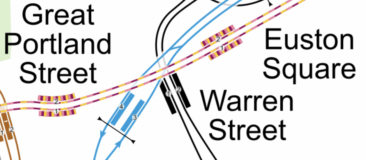
Note.
- The yellow and mauve tracks are the sub-surface lines.
- The black tracks are the Northern Line.
- The blue tracks are the Victoria Line.
This Google Map shows the Euston Tower, Great Portland Street and Warren Street stations.
Note.
- The Euston Tower is indicated by a red arrow in the top-right corner of the map.
- Great Portland Street station is in the bottom-left corner of the map.
- Warren Street station is at the left of the map.
I wonder if the platforms were to be extended Eastwards at Great Portland Street station, that a new entrance to the station could be created perhaps fifty metres from Euston Tower.
I am convinced that the extra passenger traffic created by the life sciences and innovation hub can be handled by an augmented transport infrastructure, which would rely mainly on planned improvements to the sub-surface lines, which are approaching their final stages.
Conclusion
Converting Euston Tower into a life sciences and innovation hub is a plan that I believe can work well!
I would recommend the following improvements to public transport.
- The planned extra step-free entrance to Euston Square station on Gordon Street is constructed.
- An extra fully step-free entrance is built at the Eastern ends of the platforms at Great Portland Street station, which would be about halfway between Euston Tower and the station.
As improvements to the signalling of the sub-surface lines will deliver an upwards of 27 % capacity on the sub-surface lines, the life sciences and innovation hub might as well take advantage.
London North Eastern Railway Runs Trial Train To Liverpool Street
The title of this post, is the same as that of this article on Rail Advent.
These two paragraphs, describe why this was done.
In an effort to mitigate the effect on passengers during disruption to services, London North Eastern Railway (LNER) ran one of its Azuma trains from Finsbury Park to London Liverpool Street during the early hours of this morning, Friday, 14th July.
The trial run took place to determine the long-term feasibility of diverting services during periods of planned disruption or when significant engineering works were taking place.
There doesn’t seem to have been any problems.
- The route in from Finsbury Park station went through Canonbury, Dalston Kingsland, Hackney Central, Homerton, Hackney Wick, Stratford and Bethnal Green stations, which was a distance of 9.6 miles.
- The route out to Finsbury Park station went through Bethnal Green, Cambridge Heath, London Fields, Dalston Kingsland and Canonbury, what was a distance of 5.8 miles.
Note.
- Two different routes were checked.
- The Class 800 train had five cars.
- Platform 4 at Liverpool Street station was used, which is normally used by London Overground and Cambridge services.
As this comes so soon after the test run to Cleethorpes, that I wrote about in Azuma Test Train Takes To The Tracks As LNER Trials Possible New Route, I wonder if Network Rail and the train operating companies are planning for some worst case scenario, where the two or more of the West Coast Main Line, Midland Main Lone and East Coast Main Line are blocked.
LNER and Network Rail have shown the following.
- Azumas can use Cleethorpes station.
- Azumas can use Liverpool Street station.
We also know that Cleethorpes has a direct TransPennine train service across the North of England to Doncaster, Sheffield, Manchester and Liverpool.
So if say Euston has to be shut for perhaps fourteen days during the construction of High Speed Two, a service between Liverpool Street and Cleethorpes via Colchester, Ipswich, Cambridge, Peterborough and Lincoln could be used to get some passengers to and from the North.
The other big problem is the removal of the problems of the Newark Crossing, which if it results in a long blockade of the East Coast Main Line, might need services to go into an alternative London terminal.
The Powerhouse In The East
Consider.
- The importance of Cambridge to the economy of the UK is growing fast.
- The city suffers from a shortage of commercial premises, housing and staff at all levels.
- I have just looked at the non-passenger traffic on the West Anglia Main Line for all of yesterday and there were just six freight trains through Bishop’s Stortford.
I wonder, if it would be possible to run a Liverpool Street and Cleethorpes service via Cambridge, Ely, Peterborough, Spalding, Sleaford, Lincoln, Market Rasen, Barnetby and Grimsby Town?
- The service avoids the East Coast Main Line, except through Peterborough, where it would use the separate Werrington lines.
- Liverpool Street is in the heart of one of the world’s major financial centres.
- Liverpool Street is on the Elizabeth Line.
- The service could call at Stansted Airport, but a reverse would be needed.
- Peterborough is sometimes promoted in Cambridge as a city, that could be developed, to provide support for Cambridge.
- A reverse would be needed at Lincoln.
- Lincoln is developing as a university city with character.
- Grimsby and Cleethorpes are close to the fast expanding Humberside renewable energy and hydrogen cluster.
The service could be paired with a Liverpool Street and Norwich service, via Ely, Thetford, Attleborough and Wymondham.
The services could alternate every half hour or perhaps leave London as a pair and split and join at Cambridge.
Platform Availability At Kings Cross And Liverpool Street
Consider.
- Digital signalling on the East Coast Main Line will increase the number of possible trains between London and the North.
- LNER have said they want to increase services to the North and have identified a possible service to Cleethorpes.
- Grand Central would like to increase services to Bradford.
- Lumo have started services to Newcastle and Edinburgh from Kings Cross.
- The Elizabeth Line now runs less services into Liverpool Street station.
- The Elizabeth Line connects to Liverpool Street, but doesn’t connect to King’s Cross.
- Liverpool Street is to undergo a major refurbishment, which should increase the overall passenger capacity of the station.
Would it be sensible to move a small number of services from King’s Cross to Liverpool Street?
Surely, the logical service to move to Liverpool Street would be the new Cleethorpes service.
- It would route via Cambridge, Cambridge North, Ely, Peterborough, Spalding, Sleaford, Lincoln, Market Rasen, Barnetby and Grimsby Town.
- It would use the Werrington Lines through Peterborough.
- It would not need a path on the East Coast Main Line.
- The service would provide a much needed direct link between Cambridge and Lincoln via Peterborough.
- The service could also be hourly or two-hourly.
I also believe that a Liverpool Street and Cleethorpes service could be run by a battery-electric Azuma.
- The route is electrified between Liverpool Street and Ely and through Peterborough.
- Ely and Peterborough is 30 miles.
- Peterborough and Lincoln is 56.9 miles.
- Lincoln and Cleethorpes is 47.2 miles.
- There would need to be a charging station or a few miles of electrification at Cleethorpes.
- There may be 134.1 miles of unelectrified track, but there can be a Splash and Dash at Peterborough.
A Stadler Akku would be able to handle this route, so I suspect that a similar-sized battery-electric Azuma should also be able to handle the route.
Government Agrees To Fund £200m Cambridge South Station
The title of this post, is the same as that of this article on the BBC.
This is the sub-heading.
The government has agreed to fully fund a new £200m railway station.
These are a few points.
- Work has already started.
- The station is next to the city’s Biomedical Campus and Addenbrooke’s Hospital.
- Cambridge South station will be on the East West Railway.
It is expected to be open within two years.
I have a few thoughts.
Services At Cambridge South Station
In a typical hour, it seems the following trains go through the proposed site of Cambridge South station.
- 2 tph – Greater Anglia – Liverpool Street and Cambridge North via Tottenham Hale, Cheshunt, Broxbourne, Roydon (1tph), Harlow Town, Harlow Mill (1tph), Sawbridgeworth (1tph), Bishop’s Stortford, Stansted Mountfitchet (1tph), Elsenham (1tph), Newport (1tph), Audley End, Great Chesterford (1tph), Whittlesford Parkway, Shelford (1tph) and Cambridge.
- 1 tph – Greater Anglia -Norwich and Stansted Airport via Wymondham, Spooner Row (1tpd), Attleborough, Eccles Road (1tpd), Harling Road (1tpd), Thetford, Brandon, Shippea Hill (1tpd), Ely, Cambridge North, Cambridge, Whittlesford Parkway and Audley End
- 1 tph – Great Northern – King’s Cross and Ely via Cambridge, Cambridge North and Waterbeach.
- 1 tph – Great Northern – King’s Cross and King’s Lynn via Cambridge, Cambridge North, Waterbeach, Ely, Littleport, Downham Market and Watlington.
- 1 tph – Great Northern – King’s Cross and Cambridge via Finsbury Park, Alexandra Palace, Potters Bar, Hatfield, Welwyn Garden City, Welwyn North, Knebworth, Stevenage, Hitchin, Letchworth Garden City, Baldock, Royston, Meldreth, Shepreth and Foxton.
- 2 tph – Thameslink – Cambridge and Brighton via Royston, Ashwell & Morden, Baldock, Letchworth Garden City, Hitchin, Stevenage, Finsbury Park, St Pancras International, Farringdon, City Thameslink, London Blackfriars, London Bridge, East Croydon, Gatwick Airport, Three Bridges, Haywards Heath and Burgess Hill
- 1 tp2h – CrossCountry – Birmingham New Street and Stansted Airport via Coleshill Parkway, Nuneaton, Leicester, Melton Mowbray, Oakham, Stamford, Peterborough, March, Ely and Cambridge.
Note.
- tph is trains per hour.
- tp2h is trains per two hours.
This gives a base frequency through Cambridge South, Cambridge and Cambridge North of 8.5 tph.
Could some services be extended to Cambridge South or Stansted Airport?
- 1 tph – Greater Anglia – Ipswich and Cambridge via Needham Market, Stowmarket, Elmswell, Thurston, Bury St Edmunds, Kennett (1tp2h), Newmarket and Dullingham (1tp2h).
- 1 tp2h – CrossCountry – Birmingham New Street and Cambridge via Coleshill Parkway, Nuneaton, Leicester, Melton Mowbray, Oakham, Stamford, Peterborough, March and Ely.
These two trains would gives frequencies of.
- Cambridge South – 10 tph
- Cambridge – 10 tph
- Cambridge North – 9 tph
I have assumed these services would terminate at Cambridge South.
There could also be some new services.
1 tph – Greater Anglia – Wisbech and Cambridge via March, Ely and Waterbeach, Cambridge North and Cambridge.
1 tph – East West Railway – Oxford and Great Yarmouth via Oxford Parkway, Bicester Village, Winsford, Bletchley, Bedford, Tempsford, Cambourne, Cambridge, Cambridge North, Ely, Brandon, Thetford, Attleborough, Wymondham and Norwich.
1 tph – East West Railway – Oxford and Manningtree via Oxford Parkway, Bicester Village, Winsford, Bletchley, Bedford, Tempsford, Cambourne, Cambridge, Newmarket, Bury St. Edmunds, Stowmarket, Needham Market and Ipswich.
These three trains would gives frequencies of.
- Cambridge South – 13 tph
- Cambridge – 13 tph
- Cambridge North – 11 tph
I have assumed these services would terminate at Cambridge South.
The A14 Parkway Station
The A14 Parkway station is a proposal from the East West Railway.
- It would be just to the East of Chippenham junction and would be served by both Greater Anglia’s services between Ipswich and Cambridge and Ipswich and Peterborough.
- It would also be close to the major road junction, where the A11 and the A14 meet.
- It would be a Park-and-Ride station.
I believe it could be a major factor in cutting road mileage in East Anglia, as drivers going to Cambridge from Ipswich, Norwich, a large area of North-East East Anglia and North Essex could find that using the A14 Parkway station an easier and faster route. But the A14 Parkway would need a frequent service to the soon-to-be-three main Cambridge stations.
A Soham and Cambridge service could reverse at the A14 Parkway station or by careful timetabling, passengers would be able to change trains in a minute or two.
A Soham and Cambridge service, that terminated at Cambridge South, would give an extra train between Cambridge South and Newmarket and these frequencies at the three Cambridge stations.
- Cambridge South – 13 tph
- Cambridge – 14 tph
- Cambridge North – 12 tph
There would be a minimum interval of no more than five minutes between trains, if you wanted to hop between any of the three Cambridge stations.
Frequencies between Cambridge station and other main stations in the area would be as follows.
- A14 Parkway – 2 tph
- Attleborough – 2 tph
- Bishop’s Stortford – 2 tph
- Bletchley – 2 tph
- Bury St. Edmunds – 2 tph
- Ely – 6 tph
- Great Yarmouth – 1 tph
- Harlow Town – 2 tph
- Hitchin – 3 tph
- Ipswich – 2 tph
- King’s Lynn – 1 tph
- Letchworth Garden City – 3 tph
- Manningtree – 1 tph
- March – 1 tph
- Needham Market – 2 tph
- Newmarket – 2 tph
- Norwich – 2 tph
- Peterborough – 1 tph
- Royston – 3 tph
- Soham – 1 tph
- Stansted Airport – 2 tph
- Stevenage – 3 tph
- Stowmarket – 2 tph
- Thetford – 2 tph
- Wisbech – 1 tph
- Wymondham – 2 tph
Looking at this list, I think that the timetable needs reinforcing, to perhaps Colchester, Haverhill, March, Peterborough, Soham and Sudbury.
But these services will help.
- 1 tph – Greater Anglia – Ipswich and Peterborough via Stowmarket, Bury St Edmunds, Soham, Ely, Manea, March and Whittlesea.
- 1 tph – East Midlands Railway – Liverpool and Norwich via Liverpool South Parkway, Widnes, Warrington Central, Manchester Oxford Road, Manchester Piccadilly, Stockport, Sheffield, Chesterfield, Alfreton, Nottingham, Grantham, Peterborough, Ely and Thetford
But I can’t help feeling that the Stour Valley Railway needs to be reopened.
Coeliac Journey Through Covid-19 – Oxford And Cambridge Compared
Oxford And Cambridge Compared
In May 2020, I had been looking at the statistics of the two cities and the country around them and found that the numbers of Covid-19 cases were twice as high in Oxford, when related to population.
In Oxford And Cambridge Compared On COVID-19, I give my reasons for why Cambridge has lower levels of Covid-19.
Consider.
- Both cities and surrounding counties have a similar character.
- Both have well-respected hospitals, medical schools and medical research.
- Air pollution appears to be low in both areas.
- Both cities probably have a similar ethnic mix and large student populations.
As I used to live near Cambridge, I have my own mad personal theory.
Addenbrooke’s Hospital
I have used several hospitals in my life, but only two changed my life totally.
- I had my vasectomy in the old Hackney Hospital.
- Addenbrooke’s, who with a simple blood test decided I was probably coeliac.
So perhaps, I’m biased.
But consider these possible facts.
- My coeliac consultant at Addenbrooke’s told me, that he had more patients with the disease than any other in the UK.
- The manager at Carluccio’s in Cambridge, told me that they sold more gluten-free food, than any other restaurant in the group.
- In 1997, I was diagnosed fast, because Addenbrooke’s were using a new genetic test. I was later checked using an endoscopy.
Could it be that someone at Addenbrooke’s had decided they wanted to find all the coeliacs in and around Cambridge?
What would be the effects of diagnosing as many coeliacs as you could find in an area?
- A doctor of my acquaintance talked of coeliac disease as the many-headed hydra, as it led to so many other medical problems. So extra diagnosed coeliacs might improve health statistics in an area.
- Personally, I have said good-bye to migraines, nail-biting and lots of joint pains, after going gluten-free.
- I also haven’t had a serious dose of flu since diagnosis. Since 2005, I’ve probably had the flu jab.
- Joe West at Nottingham University, has shown that coeliacs on a gluten-free diet have lower cancer rates than the general population.
Consider.
- Immunotherapy is a medical technique, where the patient’s immune system is activated or suppressed to help them fight a disease.
- Coeliac disease is an autoimmune disease, where gluten causes damage to the gut.
So could coeliacs on a gluten-free diet have a more powerful immune system?
Undiagnosed Coeliacs
Coeliac disease is genetic, with mine coming from an Ashkenazi Jewish ancestor from Konigsberg in the Baltic.
- Other roots of coeliac disease are Irish, Italian and black people, who have slaves as ancestors.
- There was no test for coeliac disease in children until 1960.
- There was no genetic test for coeliac disease until the late 1990s.
- Research has shown that coeliacs are at least 1-in-100 of the UK population, but could be higher.
- The NHS quotes the 1-in-100 figure on this web page, which also says reported cases of coeliac disease are higher in women than men.
If coeliacs on a gluten-free diet have a good immune system, do undiagnosed coeliacs have a poorer one?
Oxford And Cambridge Compared
Is the large number of diagnosed coeliacs around Cambridge, the reason the area has a lower COVID-19 rate than Oxford?
Conclusion
What do I know?
I’m just a mad engineer and mathematician with coeliac disease.
