Blackfriars Station – 22nd July 2026
I feel that with a few modifications, Thameslink could solve some of London’s airport connectivity and general transport capacity problems.
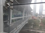
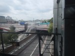
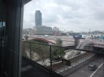
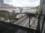
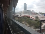
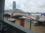
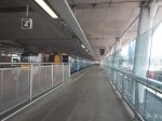
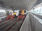
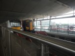
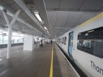
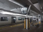
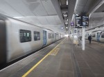
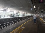
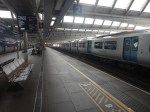
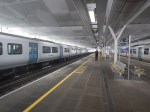
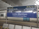
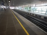
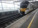
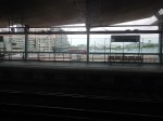
So this morning, I went to Blackfriars station and took these pictures.
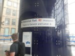






Note.
- Blackfriars station has two through platforms and two South-facing bay platforms.
- Blackfriars station is fully step-free.
- The two through platforms handle just 12 trains per hour (tph).
- Both Thameslink and the Elizabeth Line are designed to handle up to 24 tph.
The Wikipedia entry for Thameslink, says this about the frequency of operation.
The new services began operating in 2018, though the full projected timetable of 24 trains per hour has never been achieved.
So how could this spare capacity be used?
Could A Gatwick And Luton Airport Express Service Be Developed?
Consider.
- Thameslink already has a 2 tph Bedford and Brighton service, that already stops at the two airports, but it also stops at twenty other stations.
- Thameslink already has a 2 tph Bedford and Three Bridges service, that already stops at the two airports, but it also stops at nineteen other stations.
- Both airports have a 6 tph service, that stops in Central London at London St Pancras International(for Eurostar), Farringdon (for the Elizabeth Line), City Thameslink, London Blackfriars and London Bridge.
- East Midlands Railway operates a 2 tph St.Pancras International and Corby service, which stops at Luton Airport Parkway, Luton, Bedford, Wellingborough, Kettering, which takes only 32 minutes. This service uses a dedicated platform at St.Pancras International, where platform space is limited.
I wonder if it would be better if the East Midlands Railway service became an Express service through the Thameslink core and perhaps replaced one of Bedford’s Thameslink services. Bedford would still have the same number of services, but two would be a lot faster.
Battery-electric trains might even extend the service to Leicester, which might allow extra stations at Oakham and Melton Mowbray to be added.
Travelling Between Heathrow Airport And Staines Station
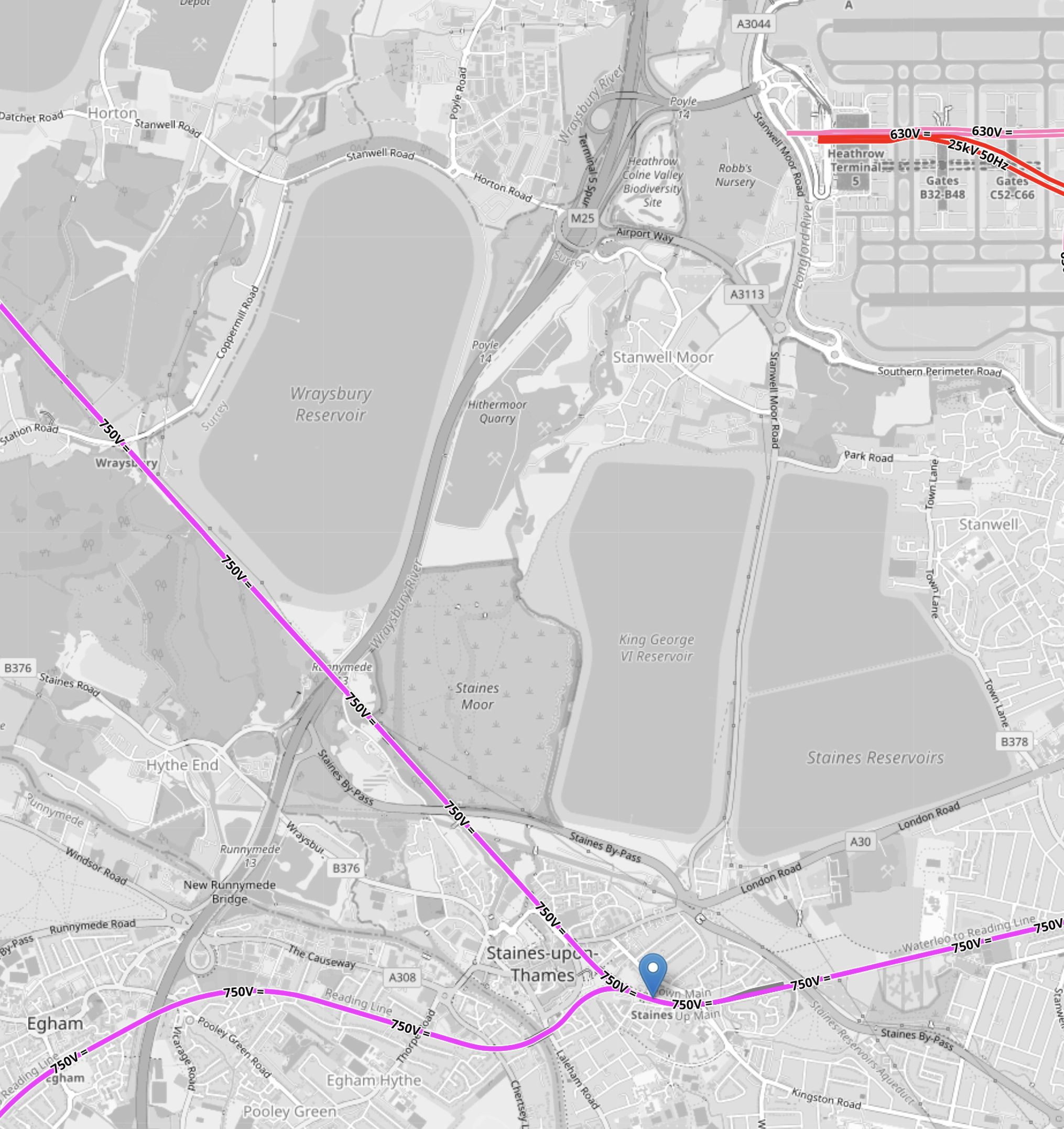
Staines Station and Heathrow Airport are not far apart, as this OpenRailwayMap shows.
Note.
- The mauve lines in the bottom half of the map are South West Trains services out of Waterloo.
- Waterloo via Feltham, Twickenham and Richmond to name but three stations , is to the East.
- Reading is to the South-West
- Windsor is to the North-West.
- The blue arrow indicates Staines station.
- Heathrow Terminal 5 is in the North-East corner of the map.
- The pink tracks are the Piccadilly Lines
- The red tracks are for the Elizabeth Line and Heathrow Express.
- This OpenRailwayMap shows Terminal 5 to a larger scale.

Note.
- The pink tracks are the Piccadilly Line.
- The red tracks are for the Elizabeth Line and Heathrow Express.
- In front of the red tracks is what looks like a circular walkway or emergency exit, with a rectangular block to its West.
- The rectangular block is the lift tower to get from the railway station to the Departures and Arrivals floors of Terminal 5.
I asked Google AI if it would it be possible in the future to extend the Elizabeth Line to the West out of the Western end of Terminal 5 and received this reply.
Extending the Elizabeth line west from Terminal 5 is technically possible and has been proposed, notably as part of a potential westward rail link to Staines or to support airport expansion, but it is not currently funded. Terminal 5 was designed with future expansion in mind, potentially allowing a connection to Staines to create a “southern rail link” for better connections.
Perhaps there are two tunnels under the lift shafts?
How many trains per hour (tph) terminate in those two platforms?
- 4 tph – Heathrow Express
- 2 tph – Elizabeth Line to Shenfield.
Note.
- Only six trains in two platforms is easily managed.
- Because, Heathrow Express services appear to use both platforms, when I visited yesterday, the system seems to confuse passengers.
- The services surely need to be evened up, so that there are four tph of each service, with each service having a dedicated platform.
- But terminating eight trains in two platforms could be troublesome.
- Platforms are numbered 1 to 6 from the South.
- Platforms 1 and 2 have not been built yet.
Although four tph for Heathrow Express in one platform, should be easy with digital signalling, as you see it every day in London, it may be difficult on two platforms, at the same time.
In Is More Capacity Between Heathrow Airport And Central London, Needed On The Elizabeth Line?, I said this.
Currently, the Elizabeth line provides up to 12 trains per hour (including Elizabeth line and Heathrow Express) on the relief lines, making it nearly at capacity.
Note.
- When I use the Elizabeth Line, I deliberately avoid trains going to and from Heathrow, unless I’m going that way, as they are too crowded with passengers and their oversized cases.
- High Speed Two, the West London Orbital Railway and the North London Line will bring passengers for Heathrow Airport to Old Oak Common station.
- Surely, as Heathrow Airport gets bigger and increases its passenger numbers. the Elizabeth Line will need to be increased in capacity.
I believe Elizabeth Line capacity needs to be increased soon.
The only feasible plan I’ve seen is Heathrow Southern Railways plan, which included.
- Construction of a bay platform 0 at Staines alongside the Staines to Windsor line.
- A step-free bridge across the tracks.
- Construction of a single-track railway with 25 KVAC overhead electrification and a passing looop, between the new platform 0 at Staines and Platform 3 at Heathrow Terminal 5 station.
- Run four trains per hour in both directions between Heathrow Terminal 5 and Staines stations.
- This plan would would add two trains per hour through the Central Tunnel.
Various Journeys Would Be As Follows
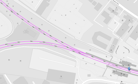
This OpenRailwayMap shows Staines junction and the positions of the three platforms.
Note.
- The Windsor Line goes North-West.
- The Reading Line goes West.
- The Waterloo Line Goes East.
- Platform 1 is on the North side of the tracks.
- Platform 2 is on the South side of the tracks.
- The bay platform, which I’ve numbered 0, will be on the North side of the tracks towards Windsor.
- I suspect the step-free bridge will be over the tracks and replace the current rickety structure.
- The bridge would be a short walk from all three platforms.
Interchanges would be as follows.
- Windsor to Heathrow – Walk between Platforms 1 and 0.
- Reading to Heathrow – Walk between Platforms 1 and 0.
- Heathrow to Windsor – Cross the bridge between Platforms 0 and 2.
- Heathrow to Reading – Cross the bridge between Platforms 0 and 2.
- Waterloo to Heathrow – Cross the bridge between Platforms 2 and 0.
- Heathrow to Waterloo – Walk between Platforms 0 and 1.
Note.
- All trains to or from Heathrow use Platform 0.
- All trains to Waterloo use Platform 1.
- All trains going away from Waterloo use Platform 2.
- Reading and Heathrow gain a step-free route at 2 tph.
- All interchanges at Staines station would be step-free.
- A train like London Crosslink, which used to go between Feltham and Woking, would use Platform 1 going towards Feltham and Platform 2 going towards Woking.
Staines station would gain step-free access to all Heathrow terminals, all Elizabeth Line and High Speed Two stations.
Could Anglia Railways’ London Crosslink Be Recreated As Part Of The London Overground?
I like the idea of the London Crosslink service, that ran for a few years between East Anglia and Hampshire via the North London Line and Staines.
My arguments for its restoration are described in Could Anglia Railways’ London Crosslink Be Recreated As Part Of The London Overground?
At various times in my life, it would have been very useful.
Today, as I live about fifteen minutes from Highbury and Islington station, I could use London Crosslink for the following reasons.
- Visiting friends and family in Hampshire.
- Going to Heathrow Airport, especially Terminal 5.
- Visiting friends in East Anglia.
- Going to football at Ipswich.
- Exploring new parts of England.
- I would wait at home and time my departure to catch a booked train at a fully step-free station.
Conclusions
Extending the Elizabeth Line to Staines gives these advantages.
- Staff at Heathrow, who live in the Staines area get easy access to the airport.
- Buses and coaches between Heathrow and the local area may be reviewed.
- Less cars will be used to get to and from the airport.
- Reading and Heathrow gain a step-free route at 2 tph.
- A lot of stations would gain a step-free route to all terminals at Heathrow, and all Elizabeth Line and High Speed Two stations.
There may well be other advantages.
Would Extending The Elizabeth Line To Staines Offer Any Advantages?
I asked Google AI, the title of this post and received this answer.
Extending the Elizabeth line to Staines offers significant advantages, including improved direct access to Heathrow Airport from Surrey/south-west London, reduced road traffic congestion, and enhanced connectivity for commuters. Proposed as part of the Heathrow Southern Railway project, it would provide a “game-changer” link and support economic growth around Heathrow.
Key Advantages of Extending the Elizabeth Line to Staines:
Improved Airport Access: The extension would provide a direct, sustainable, zero-emission rail link to Heathrow for commuters and travelers from Staines, Virginia Water, and surrounding areas.
Reduced Congestion & Environmental Impact: The project is estimated to reduce road traffic by approximately 3 million journeys annually, significantly lowering emissions.
Faster Commutes & Connectivity: It would create a new, faster route from Surrey and Hampshire (via Staines) to key locations like Heathrow, Old Oak Common (for HS2), and central London.
Relieving Existing Lines: The extension would help relieve overcrowding on the South Western Main Line into London Waterloo.
Utilizing Existing Infrastructure: The project would likely use the underground space already created at Terminal 5 to facilitate a southward extension.
Challenges and Considerations:
Funding and Cost: The project requires significant upfront investment, requiring collaboration between private sectors, Transport for London, and the Department for Transport.
Capacity Constraints: The existing Elizabeth line is already high-demand, and integrating a new, long branch would require careful capacity management.
This extension is closely tied to proposals for a Southern Rail Access to Heathrow, intended to support the expansion of the airport and the economic development of the surrounding region.
Is More Capacity Between Heathrow Airport And Central London, Needed On The Elizabeth Line?
I asked Google AI, the title of this post and received this answer.
Yes, additional capacity on the Elizabeth line between Heathrow Airport and Central London is needed to manage high demand, despite it being a major upgrade. While the line has greatly improved connectivity, studies suggest that rising passenger demand, particularly from potential airport expansion, may require increasing services from 6 to 8 trains per hour to prevent future overcrowding.
Key Considerations Regarding Capacity:
High Demand: Passenger demand grew by ~40% between June 2022 and October 2023, with further growth expected.
Infrastructure Constraints: Increasing services beyond 6 trains per hour is challenging due to the need for signaling upgrades and potential platform length limitations.
Alternative Solutions: Experts suggest the Western Rail Link to Heathrow could relieve pressure by allowing direct access from the west, rather than requiring travel into central London first.
Future Upgrades: Further improvements, including enhanced signalling on the Piccadilly line and other rail links, are seen as necessary to handle future passenger surges.
Currently, the Elizabeth line provides up to 12 trains per hour (including Elizabeth line and Heathrow Express) on the relief lines, making it nearly at capacity.
Note.
- When I use the Elizabeth Line, I deliberately avoid trains going to and from Heathrow, unless I’m going that way, as they are too crowded with passengers and oversized cases.
- High Speed Two, the West London Orbital Railway and the North London Line will bring passengers for Heathrow Airport to Old Oak Common station.
- Surely, as Heathrow gets bigger and increases its passenger numbers. the Elizabeth Line will need to be increased in capacity.
I believe Elizabeth Line capacity needs to be increased soon.
I Want To Go By Train Between Heathrow Airport And Central London, What is Best Train; Lizzie, Piccadilly, Or Heathrow Express?
I asked Google AI, the title of this post and received this answer.
The Elizabeth Line is generally the best balance of speed, cost, and convenience for most travelers (approx. 30–40 mins to central London,£13). The Heathrow Express is fastest (15 mins,£25) to Paddington only, while the Piccadilly Line is cheapest (hr,£6) but slowest.
Detailed Breakdown:
Elizabeth Line (Recommended): Offers direct, modern, air-conditioned trains to central hubs like Bond Street, Tottenham Court Road, and Liverpool Street without needing to change at Paddington. It is much cheaper than the Express and only slightly slower.
Heathrow Express: The fastest option, but only goes to London Paddington. It is expensive unless booked far in advance. Best if you are staying right next to Paddington station.
Piccadilly Line: The cheapest option, ideal for budget travelers, and serves all terminals. However, it is a traditional Tube train, which can be crowded and uncomfortable with heavy luggage.
Note: Fares mentioned are approximate and based on standard off-peak, single-journey, tap-on/tap-off usage.
Ask virtually anybody in London and they’ll probably give you a similar answer.
Even Larry the cat would know, as he’s probably heard the question asked thousands of times.
The Proposed Lionel Road Station On the West London Orbital Railway
Starting with Lionel Road station may seem a strange place to start, but this important station for supporters of Brentford FC, may in the end define how the new line is designed and built.
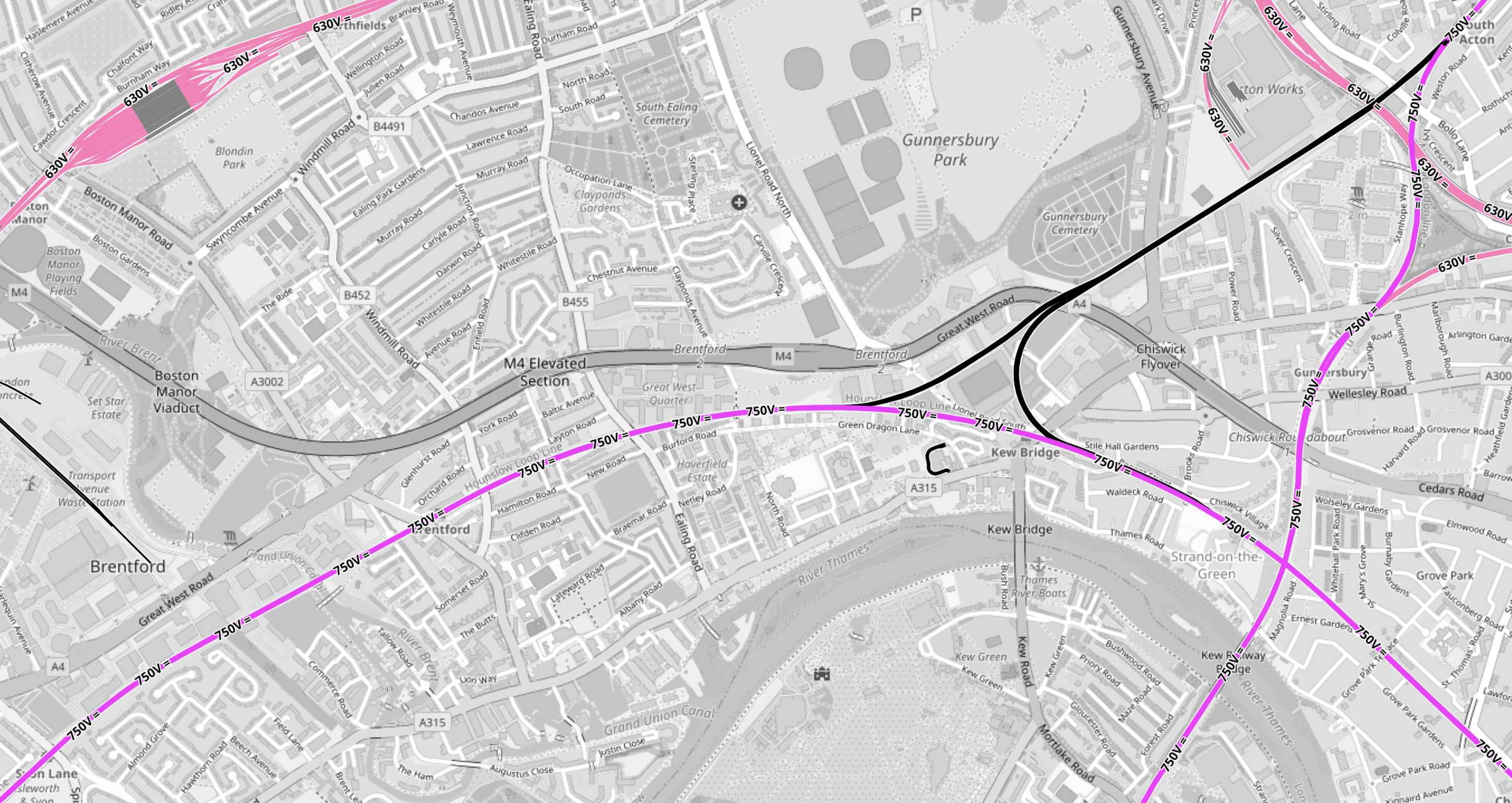
This OpenRailwayMap shows the tracks around the stadium, that has been built for the Premier League football club, which is now called the Gtech Community Stadium.
Note.
- In the North-West corner of the map is the Piccadilly Line branch to Heathrow Airport.
- Northfields Depot is prominent, with the station of the same name to its East.
- South Acton station is in the North-East corner of the map.
- Syon Lane station is in the South-West corner of the map.
- The West London Orbital Railway runs between these two stations.
- Lilac sections are electrified and black sections have none.
- South Acton station is also on the North London Line, which runs North-South to Richmond station off the bottom of the map.
- Syon Lane Station is also on the Hounslow Loop Line, which curves across the bottom half of the map to the South-East corner.
- Click the map to show it to a larger scale.
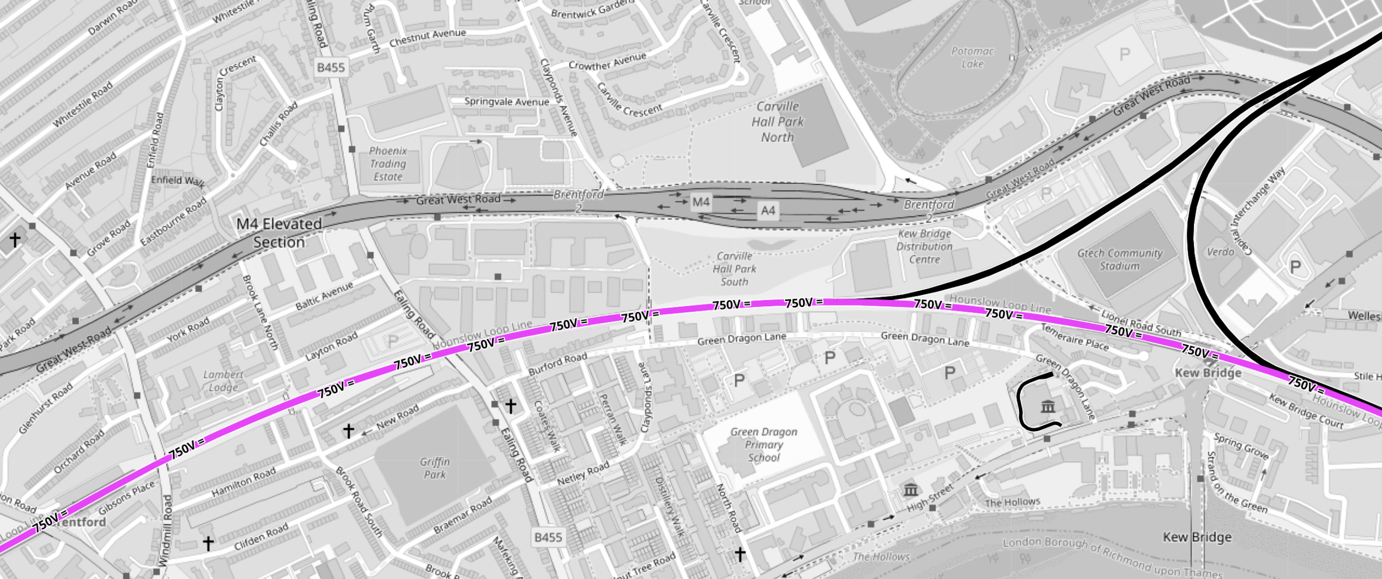
This second OpenRailwayMap shows triangular junction in the middle of the first map to a larger scale.
Note.
- The Gtech Community Stadium sits in the middle of the triangular junction.
- Provision has been made in the layout of the stadium for the station to be on the North-West leg of the triangular junction.
- Kew East Junction is in the North-East corner of the map.
- Old Kew Junction is in the South-West corner of the triangular junction.
- New Kew Junction is in the South-East corner of the triangular junction.
- The lilac track crossing the map is the electrified Hounslow Loop Line.
- The M4/A4 runs across the map
- Only the Southern leg of the triangular junction is electrified.
- Click the map to show it to a larger scale.
These are some of my thoughts.
Lionel Road Station Will Be Unlikely To Be Electrified
Consider
- It will be extremely unlikely that between South Acton station and Old Kew junction will be electrified with third-rail electrification because of safety issues.
- There is a very long chance, that it might be decided to create a 25 KVAC overhead electrified route across London, by means of the North London Line.
- I believe hydrogen trains will be developed for freight services.
- The station will have large numbers of passengers on match-days, so safety may determine an electrification-free station.
- The electrification gap is only 1.4 miles, which is well within range of a battery-electric train.
I think it is more likely that hybrid trains will use what is available.
Will Lionel Road Station Be Step-Free?
Sixty years ago, I used Manchester United station to see a match.
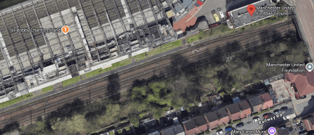
This Google Map shows the station.
Note.
- The station is a single platform tucked in behind the South stand.
- The station entrance is indicated by a red arrow.
- When I went in the 1960s, the train was a steam-hauled shuttle from the city centre.
- This Wikipedia entry gives more details.
I suspect a similar space-saving design could be used at Lionel Road station.
There will be a need for a bridge if the station is used on more than match days.
Will Lionel Road And Kew Bridge Stations Be An Out Of Station Interchange?
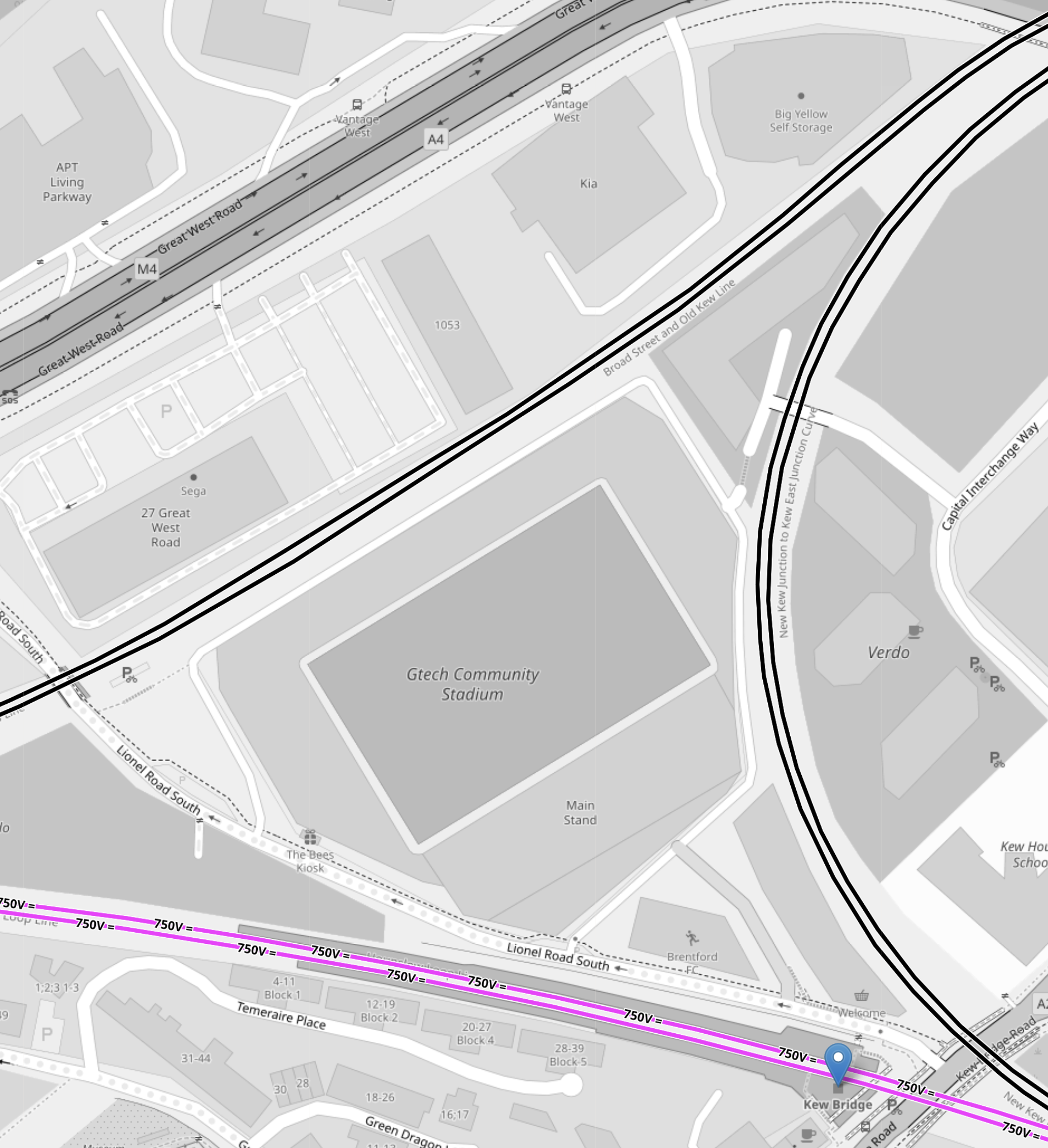
This OpenRailwayMap shows the triangular junction, with the GTech Community Stadium in the middle.
Note.
- Lionel Road station will be on the North-West side of the station.
- Kew Bridge station is marked by a blue arrow.
- There appear to be walking routes all over the plot on which the stadium sits.
- All sides of the junction are double track.
I think an Out-Of-Station Interchange would be useful, especially for those who don’t know the area.
How Easy Will It Be To Get To Lionel Road Station From Major London Stations?
These are my best estimates at a degree of difficulty.
- Bank – 1 Change – Take Central Line with a change at Old Oak Common Lane to Lionel Road.
- Blackfriars – 1 Change – Take Thameslink with a change at Brent Cross West to Lionel Road.
- Bond Street- 1 Change – Take Elizabeth Line with a change at Old Oak Common Lane to Lionel Road.
- Cannon Street – 2 Changes – Get out at London Bridge – Take Thameslink with a change at Brent Cross West to Lionel Road.
- Charing Cross – 1 Change – Take Bakerloo Line with a change at Harlesden to Lionel Road.
- City Thameslink – 1 Change – Take Thameslink with a change at Brent Cross West to Lionel Road.
- Euston – 1 Change – Take Watford DC Line with a change at Harlesden to Lionel Road.
- Farringdon – 1 Change – Take Thameslink with a change at Brent Cross West to Lionel Road.
- King’s Cross – 1 Change – Take Thameslink with a change at Brent Cross West to Lionel Road.
- Liverpool Street – 2 Changes – Get out at Stratford – Take the Overground with a change at South Acton to Lionel Road.
- Liverpool Street – 1 Change – Take Elizabeth Line with a change at Old Oak Common Lane to Lionel Road.
- London Bridge – 1 Change – Take Thameslink with a change at Brent Cross West to Lionel Road.
- Marylebone – 1 Change – Take Bakerloo Line with a change at Harlesden to Lionel Road.
- Moorgate – 1 Change – Take Elizabeth Line with a change at Old Oak Common Lane to Lionel Road.
- Old Street – 2 Changes – Go to Moorgate – Take Elizabeth Line with a change at Old Oak Common Lane to Lionel Road.
- Oxford Circus – 1 Change – Take Bakerloo Line with a change at Harlesden to Lionel Road.
- Paddington – 1 Change – Take Elizabeth Line with a change at Old Oak Common Lane to Lionel Road.
- Piccadilly Circus – 1 Change – Take Bakerloo Line with a change at Harlesden to Lionel Road.
- St. Pancras – 1 Change – Take Thameslink with a change at Brent Cross West to Lionel Road.
- St. Paul’s – 1 Change – Take Central Line with a change at Old Oak Common Lane to Lionel Road.
- Tottenham Court Road – 1 Change – Take Elizabeth Line with a change at Old Oak Common Lane to Lionel Road.
- Vauxhall – 2 Changes – Go to Oxford Circus – Take Bakerloo Line with a change at Harlesden to Lionel Road.
- Victoria – 2 Changes – Go to Oxford Circus – Take Bakerloo Line with a change at Harlesden to Lionel Road.
- Waterloo – Direct – Direct train to Kew Bridge.
- Waterloo – 1 Change – Take Bakerloo Line with a change at Harlesden to Lionel Road
Note.
- It does appear that the connections in stations like Brent Cross West, Harlesden and Old Oak Common Lane, will make a lot of difficult cross-London journeys easier.
- But not many journeys to the GTech Community Stadium, finish at Kew Bridge station.
- Most journeys pick up the West London Orbital at Brent Cross West, Harlesden or Old Oak Common Lane, which probably means these three stations should be step-free.
- As I’ve been writing this, I do wonder if now is the time to create a pedestrian connection between City Thameslink and St. Paul’s stations, that I wrote about in A Pedestrian Connection Between City Thameslink Station And St. Paul’s Tube Station.
I do believe though that there are places on the Central Line, where small projects can give a high return on expenditure.
Conclusion
Surprisingly, this is a lot more than just a station for a Premier League football club.
Will the Liverpool Street Rebuild Include Elizabeth Line Improvements?
I asked Google AI, the question in the title of this post and received this reply.
Yes, the proposed redevelopment of London Liverpool Street Station includes improvements to integration with the Elizabeth line, aiming for a fully accessible, multi-modal, and spacious hub. The plans focus on better connecting the main concourse with the Elizabeth line, Underground, and local transport, alongside doubling the concourse size, adding new, more efficient lifts, and increasing the number of ticket barriers.
Will The Liverpool Street Rebuild Have More Platforms?
I asked Google AI, the question in the title of this post and received this reply.
The approved £1bn+ redevelopment of London Liverpool Street Station, greenlit in February 2026, focuses on increasing capacity and accessibility rather than adding new platforms. The plans, to be completed by mid-2036, involve enlarging the concourse by 76%, increasing lifts/escalators, and providing step-free access to all existing platforms.
Platform Changes: While there is no mention of increasing the total number of train platforms, the project will significantly improve access and reduce congestion.
Capacity Enhancements: The project includes a 76% increase in concourse capacity.
Infrastructure Upgrades: Escalators will increase from four to ten, and eight new lifts will be installed.
Accessibility: The project aims to provide full step-free access across all rail and underground platforms.
New Construction: A large, multi-story office building is planned above the station, and the concourse area will be redesigned for better flow.
The project aims to handle over 200 million passengers annually by the time it is finished.
This OpenRailwayMap shows the layout of tracks in the station.
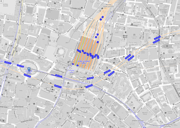
Note.
- The square block in the middle of the map are Platforms 1-18 of the main station.
- Eighteen is in the East and 1 is in the West.
- The Central Line of the London Underground runs diagonally in blue under the main station.
- Running in orange from the West to the North-East in front of the station is the Elizabeth Line.
- Running South of Lizzie in blue are the sub-surface lines of the London Underground.
I wonder, if at some point in the distant future, a terminal platform or two could be added to the very deep Elizabeth Line, that connected to tunnels underneath Liverpool Street station.
This second OpenRailwayMap shows the sub-surface lines and the Elizabeth Line, as they pass across in front of Liverpool Street station.
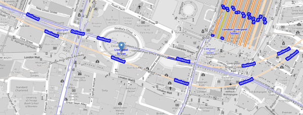
Note.
- Moorgate Station is in the North-West corner of the map
- Moorgate Statation has two virtually unused west facing bay platforms.
- The sub-surface lines are shown in blue.
- The Elizabeth Line is shown in orange.
- Finsbury Circus is in the middle of the map, with the sub-surface lines underneath.
- The Central Line is shown in blue and crosses between Finsbury Square and Liverpool Street station on its way to Bank.
- In front of Liverpool Street station, there is a disused bay platform on the sub-surface lines.
- The Bank branch of the Northern Line and the Great Northern run North from Moorgate station.
- Access to the Great Northern could be improved.
I feel there is scope for more trains to be run on the sub-surface lines through Moorgate and Liverpool Street.
- Accessibility to the sub-surface lines at Moorgate and Liverpool Street station could be improved.
- There has been talk of extending some services to Barking.
There is certainly scope to improve the sub-surface lines.
My 78-Year-Old Legs Are More Reliable Than The New Chinese Buses On London’s 141 Bus Route
So we all know what we’re talking about, here’s a few pictures.
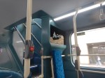
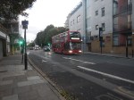
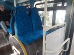
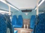
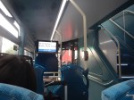
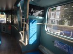
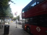
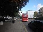
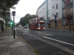
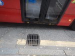
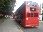
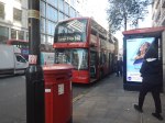
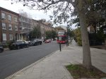

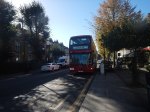
Note.
- The buses seem to have no serious faults from a passenger point of view.
- One middle-aged lady on the plump side, said she didn’t like the buses.
- The aisle between the front seats doesn’t seem to be built for large people.
- The seats are reasonably comfortable.
- One morning, I stood on a long journey and I felt the road-holding wasn’t as good as a New Routemaster.
- On several buses, the interior route display has not been working.
- As I don’t wear a watch, I find a non-working display annoying.
- I haven’t been upstairs yet.
- As picture numbers three and four show, the bus looks a bit pokey at the back downstairs.
But I am very suspicious about the buses’s reliability or ability to handle the route, which is fairly long.
Take this morning, when I was coming home from London Bridge station.
- There was only a 43 bus at the shared stop with the 141 bus.
- As the routes are identical until Old Street station, I took the 43 bus to Moorgate station.
- At Moorgate station, I took a 76 bus, which gets me within walking distance of where I live.
- Someone said, that a 141 bus would mean a wait of ten minutes.
- In the end my 78-year-old legs delivered be home.
I didn’t see a 141 bus going my way on my journey.
I have seen behaviour like this several times, since some Chinese electric buses were introduced on to the route.
As a graduate Electrical and Control Engineer, it looks to me, that there is one of two problems with these buses.
- The batteries aren’t large enough for the route.
- Not enough time is allowed for charging the batteries at the end of the route.
This page on the Wrightbus website is entitled Wrightbus Electroliner ‘Most Efficient Double-Deck Battery-Electric Bus’, and it contains this paragraph, which probably explains their philosophy and ambition.
We have already gained a strong reputation for our hydrogen double deck but we want to lead the world in zero-emissions full stop. Wrightbus has the best brains in the business when it comes to technology and our StreetDeck Electroliner puts us squarely at the front of the pack. We haven’t weighed the bus down with a high battery volume just so we can say it’s got the most power or range; instead, we’ve made it the most efficient vehicle on the road by combining optimum power with a class-leading rapid charge, meaning our electric bus spends more time on the road than any other.
It also probably sets a very high bar, which the Chinese can only achieve by adding battery volume and making their buses pokey.
To be fair to the buses, the 141 route is probably nearly 20 miles long.
In Sutton Station To Gatwick Airport By Hydrogen-Powered Bus, I wrote about what it says in the title.
In that post, I said this about hydrogen buses running on the 141 route.
Wrightbus Hydrogen Buses For My Local Bus Route 141
Consider.
- The 141 bus route is my local bus, which gets me to Moorgate, Bank, London Bridge and Manor House.
- The length of the full route is twenty miles and it takes about an hour to go from London Bridge station to Palmers Green.
- The route is currently run by older Wrightbus hybrid diesel-electric buses.
- I suspect that modern hydrogen buses could last almost all day on one fill of hydrogen, with perhaps a top-up at lunchtime.
They would have no difficulty handling the route and would greatly increase the customers current rock-bottom satisfaction.
I am sure, they would improve the horrendous reliability of the route.
I also wonder, if Wrightbus have another solution.
In UK Among Tri-Axle Zero-Emission Wrightbus StreetDeck Prospects, I talk about Wrightbus’s new Tri-Axle Zero-Emission Wrightbus StreetDeck bus and how it would be ideal for the 141 bus route.
- The 141 bus route is the old 641 trolleybus route, so all clearances are generous.
- The tri-axle design can probably carry a better-optimised battery.
- There used to be two bus routes on the route and now there is only one, so more capacity is needed.
- The 141 bus route bridges the gap between the Northern section of the Piccadilly Line and the Elizabeth Line, Bank and London Bridge.
- The new air-conditioned Piccadilly Line trains, will increase the passengers on the line.
- There will be a lot more housing built in Enfield, at the Northern end of the Piccadilly Line and more bus capacity will be needed between Manor House and the City of London.
Some of TfL’s rerouting of buses in North London, was a crime against mathematics.
Did I Have A Funny Turn Caused By Dehydration This Morning?
I followed my usual Sunday morning routine today
- I took my drugs with a large mug of tea.
- I had a deep bath with emollient in the water.
- I put my head under the water and opened my eyes, to clear the massive amount of sleep, I get overnight in my eyes.
- I then went to Leon in Hanover Square for a good Full English gluten-free breakfast.
Unusually, Leon made a mistake and didn’t put any milk in my tea, so I didn’t drink it. So was I low on fluids?
A Transformer Is Being Moved Tonight
This press release from National Grid is entitled National Grid Prepares For Two Major Supergrid Transformer Deliveries In London.
The first one is to be moved into Redbridge substation tonight, so I went to have a look after breakfast.
- It was easy to get to the site, as it is close to Redbridge station on the Central Line.
- Out of the Underground, it was quite hot.
- By the time, I got to Redbridge station, I was feeling slightly unwell and felt my balance was poor.
- So I immediately turned around and came home using the Central and Lizzie Lines to Moorgate, where I took a bus home.
- I was certainly feeling better in the air-conditioned atmosphere of the Lizzie Line.
Since I’ve been home, I have been continuously drinking Adnams 0.5 % Alcohol Ghost Ship and I feel that I am now back to normal.
I asked Google AI “Can being dehydrated affect your balance?” and got this answer.
Yes, dehydration can definitely affect balance. It can lead to dizziness and a feeling of unsteadiness, which can make it harder to maintain balance. This is because dehydration can disrupt the fluid balance in the inner ear, which plays a vital role in balance.
I can remember an incident in my thirties, when I fell down the escalator at Oxford Circus station and went round to the Middlesex Hospital to be cleaned up.
Did Dehydration Play A Part In My Serious Stroke?
I had my stroke during breakfast in the Mandarin Oriental Hotel in Hong Kong. I’d had two or possibly three very small strokes early in the morning before and I know from measuring my weight, that I can lose up to a kilo overnight.
So I asked Google AI “Can dehydration cause strokes?” and got this answer.
Yes, dehydration can increase the risk of stroke. When the body lacks sufficient fluids, blood volume decreases, potentially leading to thicker blood and reduced blood flow to the brain. This can exacerbate existing blockages in blood vessels or make it more difficult for blood to reach the brain, potentially causing an ischemic stroke.
My late wife drunk a lot more fluids that I do and perhaps, I should have followed her example more, of always having water handy?
 The Anonymous Widower