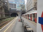
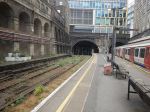
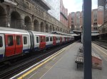
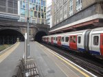
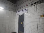
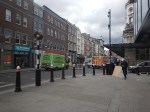
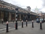
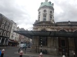
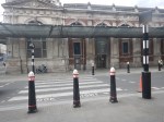
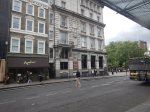
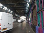
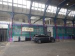
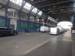
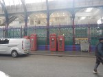
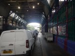
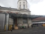
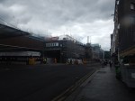
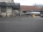
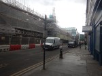
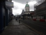
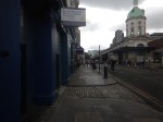
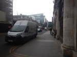
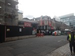
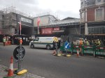
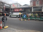
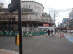
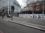
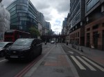
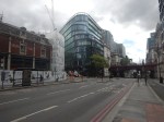
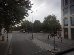
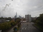
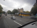
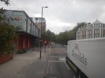
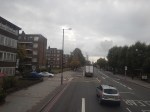
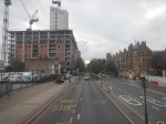
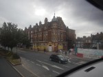
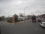
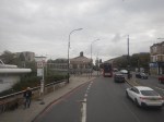
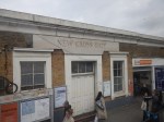
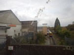
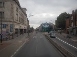
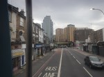
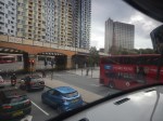
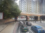
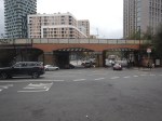
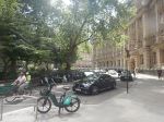
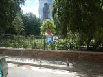
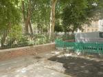
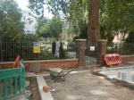
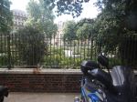
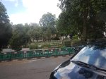
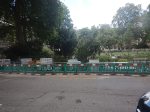
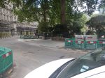
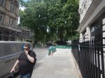
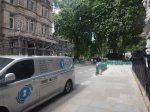
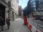
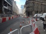
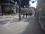
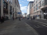
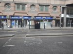
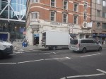
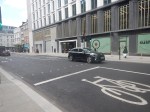
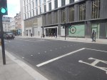
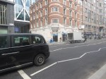
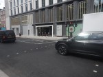
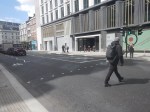
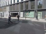
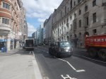
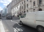
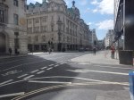
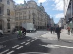
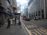
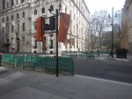
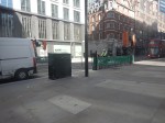
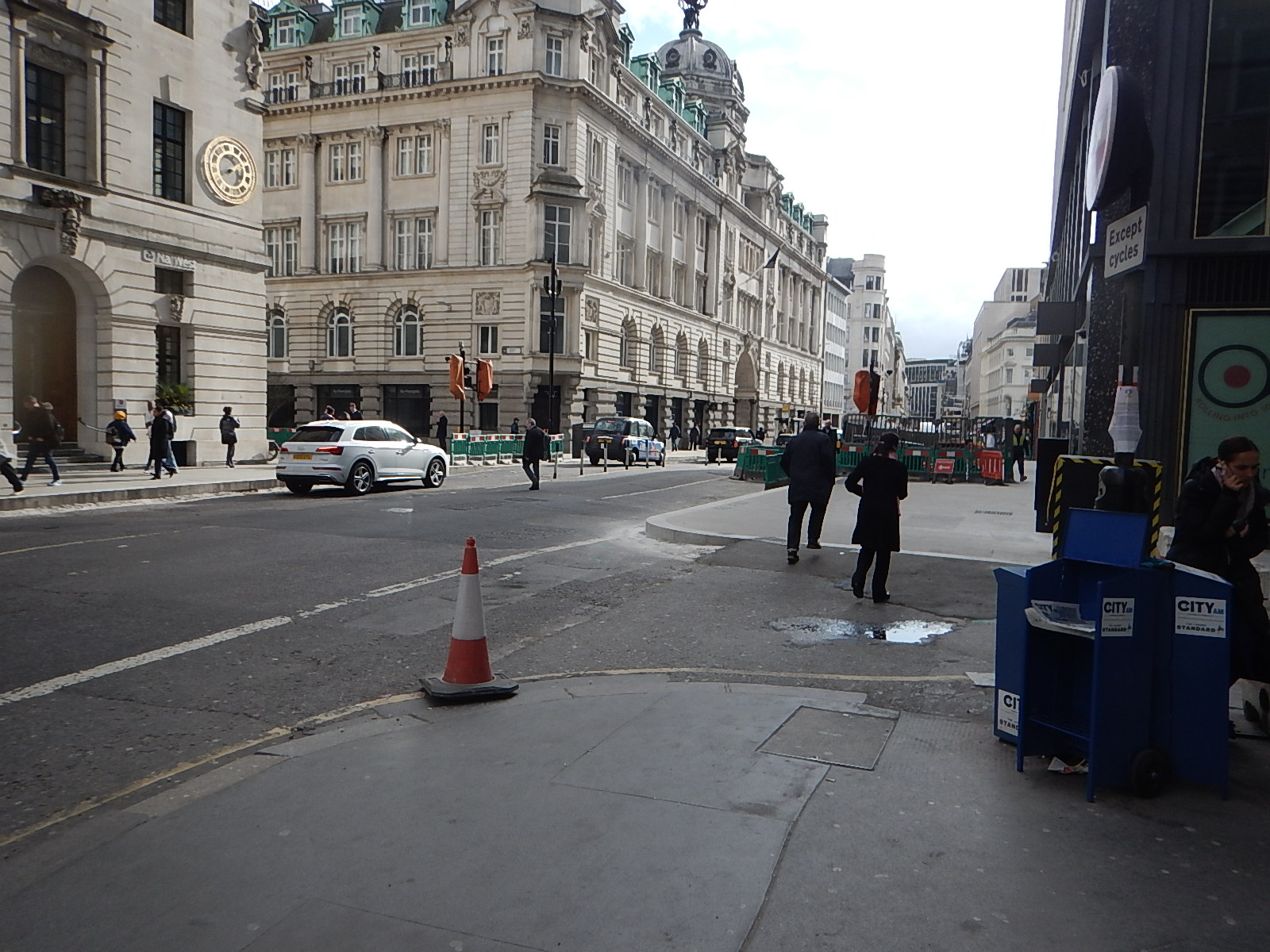
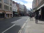
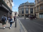
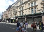
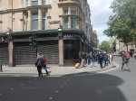
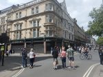
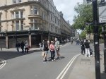
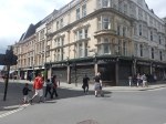
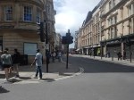
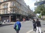
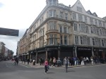
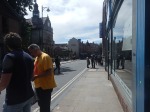
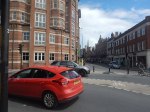
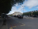
A Walk Between Barbican Station And Snow Hill – 18th May 2026
When I wrote What Housing Is Being Built At Cockfosters Station?, I rambled off about the building of the London Museum over the tracks underneath Smithfield.
So this morning, I went and took these pictures, whilst I walked between Barbican Station and Snow Hill.


Note.
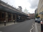
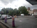
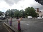
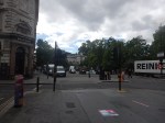
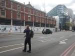
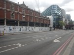
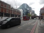
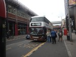
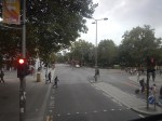
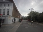
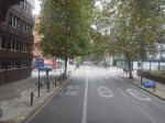
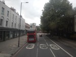
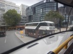
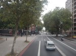
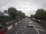
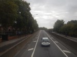
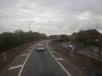
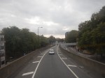
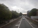
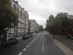
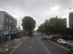
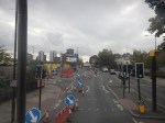
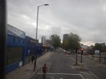
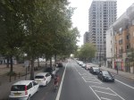
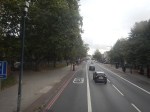
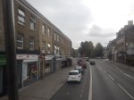
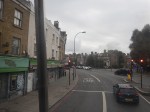
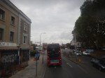
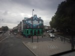
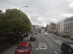
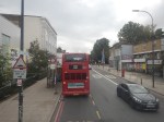
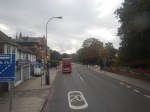
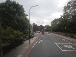
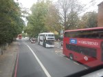
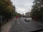
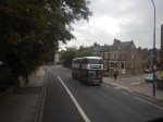
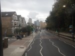
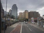
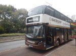
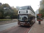
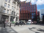
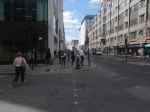
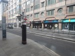
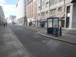
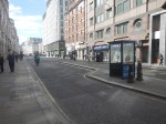
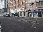
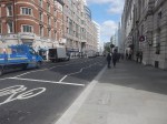
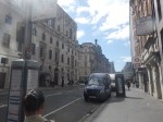
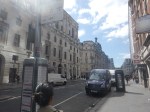
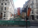
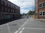
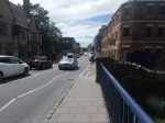
Riding The Bakerloop BL1 – 28th September 2025
The Bakerloop BL1 is a new express bus route in London, that runs between Waterloo station and Lewisham Town Centre.
This article on the BBC, which is entitled New Bus Route Launches With Free Fares In Week One, announced the route.
This is the sub heading.
A new bus route that links parts of south-east London has launched with free fares for its first week of operation
These two paragraphs describe the service in more detail.
The Bakerloop will run between Waterloo station and Lewisham every 12 minutes during the day from Monday to Saturday and every 15 minutes in the evenings and on Sundays.
Electric double-decker BL1 services will operate between 05:00 BST and 00:30 along the proposed Bakerloo Tube line extension route, stopping at Elephant and Castle, New Cross Gate and Lewisham stations.
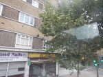
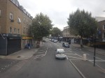
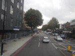
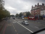
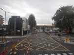
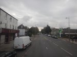
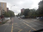
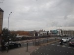
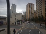
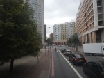
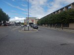
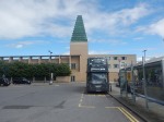
I took these pictures as I rode from Waterloo station to Lewisham Town Centre.


Note.
- The route starts at Stop D in Waterloo Road on the East side of Waterloo station.
- If you leave the station by Exit 2 and then cross Waterloo Road on the light-controlled crossing, then Stop D is less than thirty metres to your right.
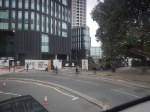
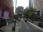
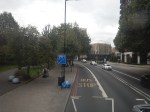
- Pictures 15-24 were taken as the bus went over Bricklayers Arms flyover.
- Picture 23 is a close up of one of the trees along the route. Is it a London Plane.
- Despite the Summer, most trees seem to be in a reasonable condition.
- Crossing the roads and the information could be better in Lewisham Town Centre.
I have some further thoughts.
Trains And Bakerloop BL1 Compared
Consider.
- The bus takes a few minutes over half-an-hour.
- The train takes 19 minutes.
- The train runs twice an hour.
- The bus runs at least four times per hour.
The bus is probably the more affordable option, but the train is faster.
Is The Bakerloop BL1 Fast Enough?
Consider.
- The bus certainly takes almost twice as long as the trains.
- But then it is more frequent.
- The route doesn’t seem particularly hilly.
- The Alexander-Dennis bus didn’t seem slow.
- The bus would probably attract more passengers, if it was faster.
It will be interesting to see how this route develops.
Would Hydrogen Buses Help?
Two of the hydrogen buses, I have ridden have been on longer routes and they have used their undoubted extra power to accelerate and climb hills faster.
Their longer range probably allows them to work for much of a day, without refuelling.
So I wouldn’t rule out hydrogen buses on this route, at some point in the future, because of the route’s length.
Is Bakerloop The Right Name?
I don’t think so, as a certain class of tourist, will assume the bus goes to Baker Street and the Sherlock Holmes Museum.
Perhaps, it should have been called something descriptive like the Waterloo-Lewisham Express.
Is Bakerloop BL1 Being Used As A Pathfinder For The Bakerloo Line Extension To Lewisham?
I’ve read somewhere that it is.
It wouldn’t be a new idea and a properly structured trial could give valuable information about how many people would use the new rail route.
Surely, a similar approach could be taken to provide projections for passenger usage on the West London Orbital Railway.
Could Other Routes Use A Similar Philosophy?
In Riding Birmingham’s New Hydrogen-Powered Buses, I rode a route across Birmingham, that was run to a similar philosophy to the Bakerloop BL1 route, except thast it used hydrogen buses.
So I’m pretty sure the answer is in the affirmative.
Will Three-Axle Double-Deck Buses Be Useful For Routes Like BakerLoop BL1?
I asked Google AI, if three axle electric and hydrogen double-deck buses were being developed and received this reply.
Yes, Wrightbus and Wisdom Motor have developed and are producing three-axle zero-emission double-decker buses, including both battery-electric and hydrogen fuel-cell models. Wrightbus recently unveiled its 6×2 Streetdeck prototype, and Wisdom Motor partnered with Citybus to develop a three-axle hydrogen double-decker (DD12) for Hong Kong’s bus fleet.
I believe that a three-axle bus may have a greater payload, so for routes like Bakerloop BL1, they may be very useful, if only to carry bigger batteries.
E-Bike Injuries Are A Massive Burden, Say Surgeons
The title of this post, is the same as that of this article on the BBC.
This is the sub-heading.
We’re in the morning meeting on the orthopaedics trauma ward on the 10th floor at the Royal London Hospital in Whitechapel.
These three introductory paragraphs add more detail.
Like every morning, the team are here to talk through the cases that will face them in the day ahead, and a familiar theme pops up.
From one side of the room a surgeon talks about his patient: “A 32-year-old, fit and well student… a couple of days ago he fell off an e-bike sustaining a closed left tibial plateau fracture.”
And a few moments later a voice next to us describes another case: “Six-year-old girl, she was hit by an electric bike, she has a closed tib/fib fracture.”
There is a lot more like this in the article.
The introduction of e-Bikes into London has been like the Wild West, with no suitable regulation and a powerless and afraid to act Police force.
Cycling and e-bikes in particular are going to be a big issue in the next London elections in May 2026.
North East Coast Named Top UK Rail Walking Route Thanks To Northumberland Line Reopening
The title of this post, is the same as that of this article on the Northumberland Gazette.
This is the sub-heading.
A once-missing link in Northumberland’s rail network has helped unlock a new coastal walking route.
These two introductory paragraphs add more detail.
Railwalks.co.uk, a national group which aims to promote walking from railway stations, has identified the North East coastline as one of the best-served by rail in Britain.
This has only become possible since the reopening of Ashington Station last year. Until July 19, Railwalks.co.uk founder member Steve Melia will be walking 92 miles from Alnmouth to Seaton Carew, following the England Coast Path.
If people are walking the coast, they are going to need support like cafes, pubs and shops.
This OpenRailwayMap shows the Northumberland Line and the coast.
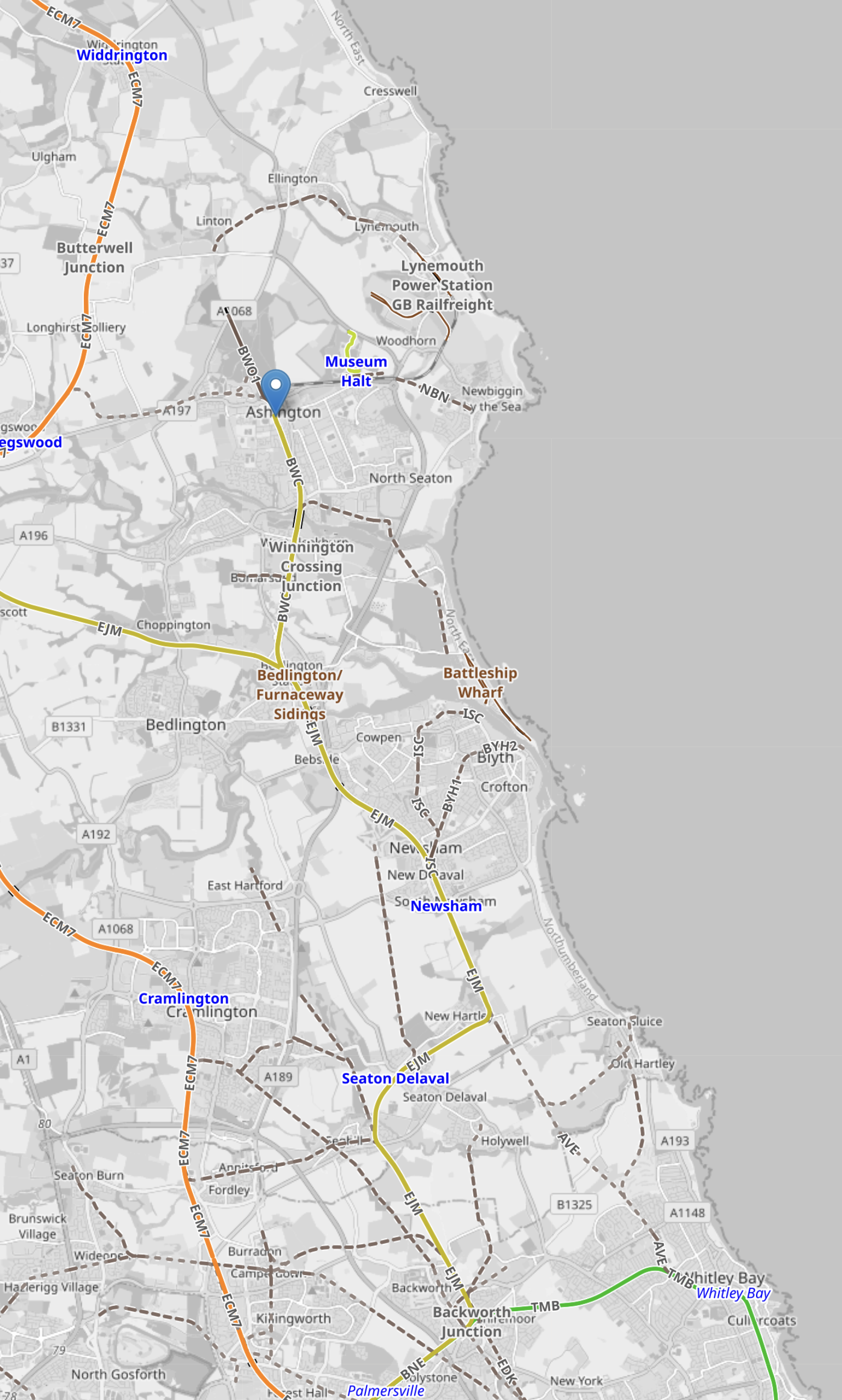
Note.
- The orange track is the East Coast Main Line with stations at Widdrington, Pegswood and Cramlington, as you come down the map.
- The blue arrow indicates Ashington, which is the terminus of the Northumberland Line.
- The yellow track is the Northumberland Line, which passes through Newsham and Seaton Delaval.
- The green track at the bottom of the map, is the Newcastle Metro to Whitley Bay, Tynemouth and North Shields.
- To the East of Ashington is Museum Halt, which could be a station on an extension of the railway to Newbiggin-by-the-Sea, which I wrote about in Onward To Newbiggin-by-the-Sea For The Northumberland Line?.
How many other places in the UK would benefit from a new or reopened railway for business, leisure and building houses in nice little inaccessible towns and places?
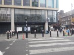
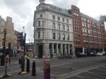
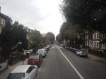
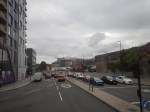
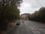
Walking Between Moorgate and Liverpool Street – 30th May 2025
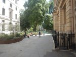
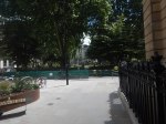
The BBC were saying this morning, that Finsbury Circus Gardens would be reopened today.
So after having my usual full-English gluten-free breakfast in Leon on Moorgate, I walked through Finsbury Circus to Liverpool Street.


Note.
- The gardens aren’t quite finished and some of the gates aren’t open yet.
- There are some magnificent specimen trees.
- Finsbury Circus Gardens can be approached from Moorgate between the buildings, after Crossing Moorgate on the light-controlled crossing, I wrote about in Moorgate Has Now Got A New Light-Controlled Crossing.
- I think I should have walked around the other side of the circus.
Hopefully, it’ll all be finished in a few days.
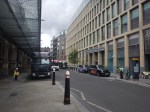
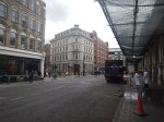
Moorgate Has Now Got A New Light-Controlled Crossing
The new light-controlled crossing on Moorgate is now open and I took these pictures yesterday after I shopped at Marks & Spencer and walked back to the bus.


This short shopping street has all I need for daily living and the odd bit of shopping.
- Boots
- Elizabeth Line station
- Hotel Chocolat
- Leon
- Marks and Spencers
- Timpsons
I generally visit every day.
Moorgate’s New Light-Controlled Crossing – 5th April 2025
I was on Moorgate this morning and took these extra pictures of the new pedestrian crossing.


It will certainly make it easier to cross the road.
Moorgate Is Getting A Light-Controlled Crossing
Whilst, the building of 101 Moorgate was ongoing, crossing Moorgate has been a bit of a nightmare.
But now, as this picture shows a light-controlled crossing is being installed.
The gap in the building behind the traffic lights on the far side of Moorgate leads through to Finsbury Square.
This Google Map shows the City of London between Moorgate and Liverpool Street stations.
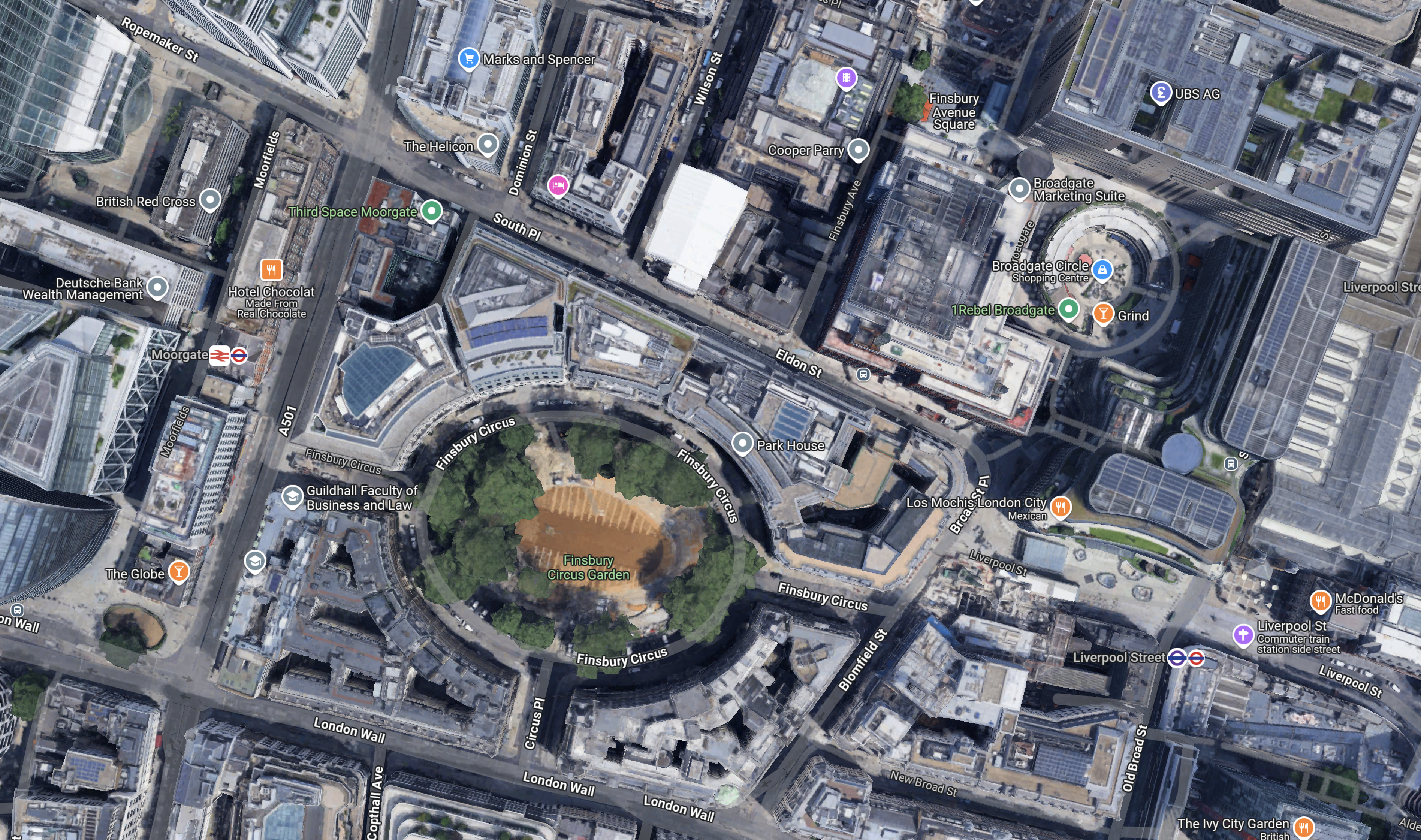
Note.
- Finsbury Square Gardens is in the centre of the map.
- Moorgate station is to the West of the gardens with Moorgate and its North-South buses in between.
- There is a Marks and Spencer department store on Moorgate to the North of the gardens.
- The shops and offices of Broadgate and Liverpool Street station are to the East of the gardens.
Especially, when it is good weather, there is a pleasant East-West walking route across the map.
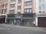
Debenhams Oxford – May 27th, 2024
These pictures show the current state of the Debenhams store in Oxford.


This will be the first development of those, that I talked about in Crown Estate To Spend £1.5bn On New Laboratories.
- I have deliberately shown pictures of the Junction, where the Debenhams building occupies the North-West corner.
- There is a Waterstones opposite the Debenhams building, on a busy junction between George and Magdalen Streets.
- There is a bus information display on the corner.
- There are a lot of chain eateries and a pub; the Wig & Pen.
These are a few thoughts.
Does the Debenhams Building Have Any Car Parking?
I would doubt it, but there may be a need to bring in large equipment.
Taxis To And From The Station
Note.
- I took a black taxi from the station to just outside the Debenhams building and it cost me the princely sum of £5,20.
- I also noted there was a rank at the rear of the building.
- In both locations, taxis were ready to roll.
That looked reasonable.
Buses To And From The Station
Staff at Oxford station, assured me that buses were available, but due to all the road works and Bank Holiday chaos, I suspect it could be improved, when the station upgrade is complete.
Walking To The Station
I took this second set of pictures as I walked from the Debenhams building back to the station.


Note.
- I walked from the junction by Debenhams, along George Street.
- It was a fairly straight line and level.
- There were no signposts between Debenhams and the station.
- There was quite a bit of blocked traffic.
- The route could do with some improvement like refurbished pavements and a few direction signs.
It took me about twenty-four minutes and at 76, I walked it easily.
On entering the station, I walked straight on to the platform for my train back to Reading, which was two minutes late.
Cycling
I suspect that many will cycle to work in the Debenhams building, as it is in Oxford.
But then, I suspect the Crown Estate, their architects and builders will know the appropriate provision to make.
Is The Debenhams Building At A Good Location?
When I was around 23, I used to reverse commute to ICI in Welwyn Garden City.
This involved.
- A ten-minute walk from St. John’s Wood to Chalk Farm tube station.
- A Northern Line train to King’s Cross station.
- A suburban train to Welwyn Garden City station.
- A fifteen-minute walk to my place of work.
St. John’s Wood to Oxford would involve.
- A fourteen-minute bus ride to St. Paddington station.
- A suburban train to Oxford station.
- A twenty-minute walk to my place of work.
A Brompton bicycle would help.
Knowing Cambridge as I do, the Debenhams building would be very well-located, if it were in Cambridge in a similar location, with respect to the railway station.
I feel that the Debenhams building passes the location test.
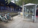
London’s Cluttered Pavements Are A Chronic Issue, Report Finds
The title of this post is the same as that of this article on the BBC.
This is the sub-heading.
Central London has “chronic issues” with street clutter, making it a worse place to live, visit and work in, a think tank has warned.
And this is the first paragraph.
A-boards, disused phone boxes and rubbish bags all make pavements unwalkable, especially for those who are mobility or sight impaired.
As someone, who was stopped from driving because of bad eyesight, I’ll agree with that paragraph.
But the biggest clutter are hire bikes just left anywhere in the middle of the pavement.

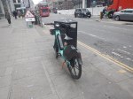
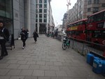

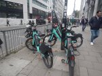


How do we stop idiots doing this?
This problem is one, where we need sensible action from the Mayor.
One of my criteria, in who gets my vote at the next Mayoral election, will be what they will be doing about street clutter.
Bikes left in places, where they shouldn’t be is easy to solve.
Transport for London should have a few trucks picking up bikes, that have been left in illegal places.
The hire companies would then need to pay an appropriate fine to get the bikes back.
I would also allow private individuals and companies to collect illegally-parked bikes. It could be a nice little earner.
