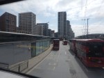
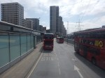
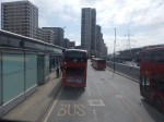
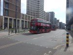
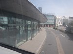
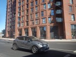
How To Take A Ride On A New Docklands Light Railway Train
This article on the BBC is entitled After Delays, New Trains Finally Arrive On The DLR.
This is the sub-heading.
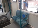
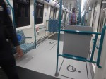
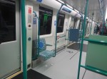
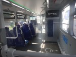
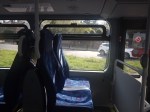
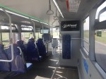
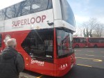
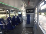
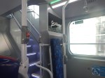
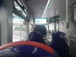
The first of 54 new trains for the Docklands Light Railway (DLR) is now in service, featuring “the latest technology”, according to Transport for London (TfL)
These two paragraphs add more details.
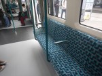
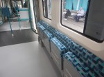
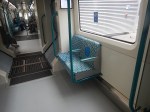
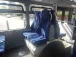
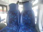
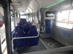
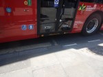
The new carriages are air-conditioned, have mobile device charging points and dedicated spaces for wheelchair users.
They will replace the oldest trains in the DLR fleet, some of which have been in service for more than three decades, with “modern, high-capacity trains designed to meet the needs of a growing city”, said TfL.
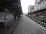
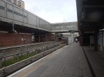
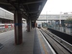
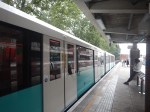
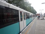
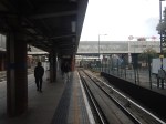
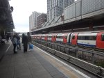
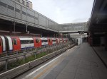
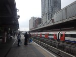
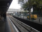
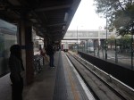
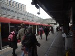
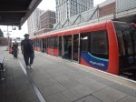
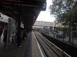
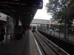
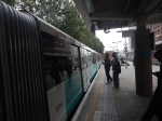
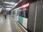
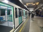
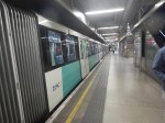
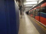
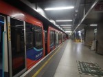
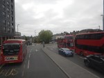
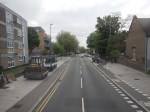
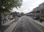
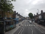
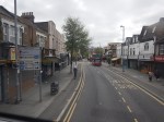
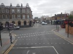
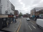
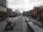
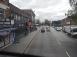
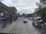
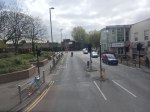
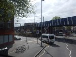
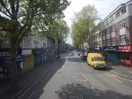
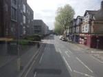
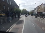
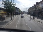
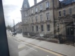
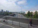
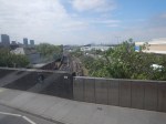
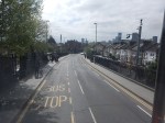
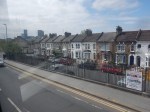
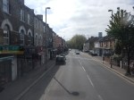
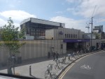
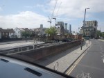
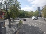
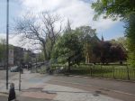
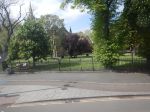
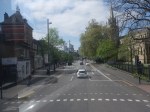
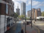
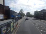
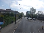
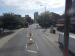
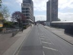
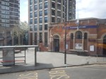
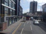
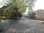
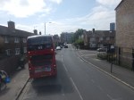
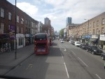
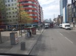
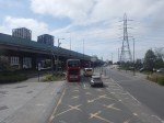
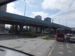
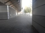
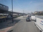
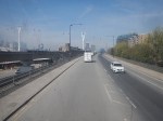
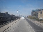
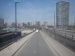
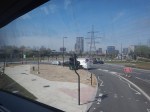
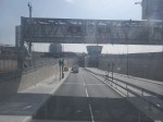
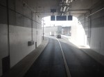
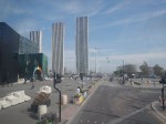
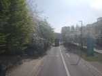
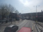
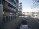
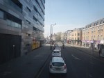
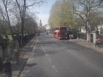
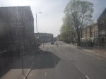
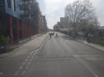
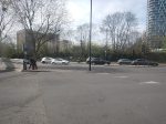
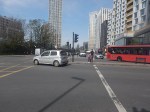
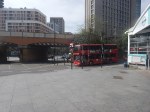
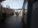
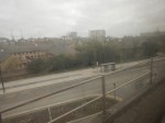
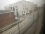
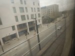
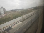
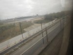
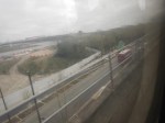
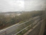
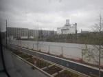
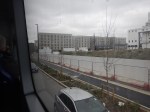
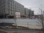
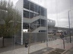
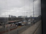
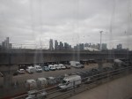
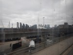
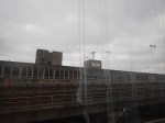
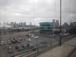
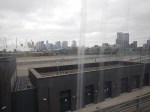
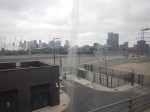
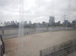
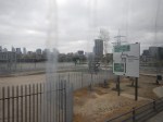
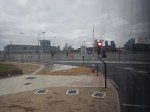
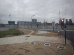
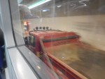
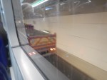
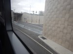
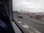
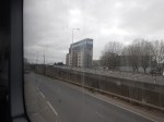
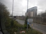
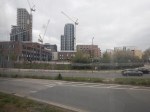
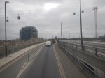
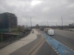
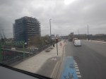
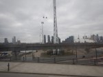
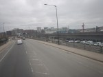
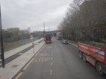
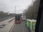
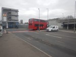
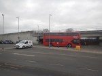
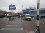
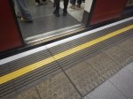
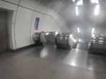
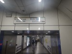
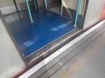
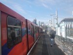
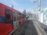
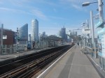
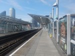
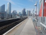
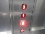
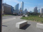
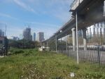
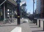
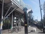
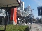
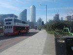
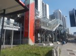
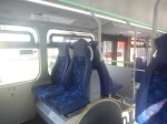
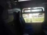
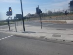
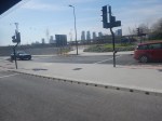
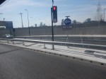
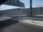
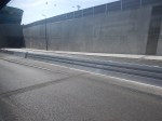
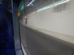
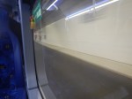
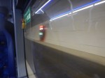
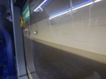
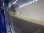
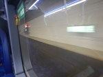
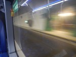
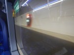
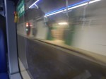
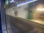
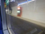
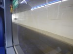
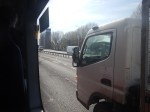
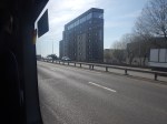
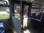
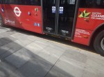
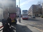
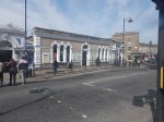
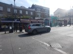
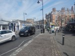
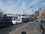
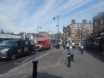
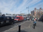
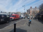
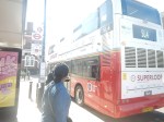
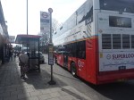
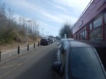
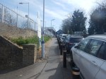
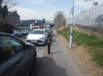
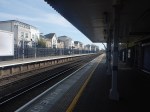
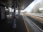
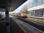
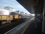
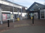
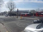
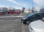
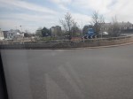
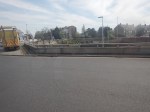
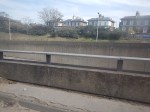
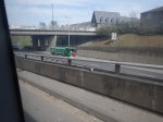
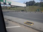
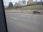
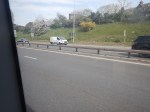
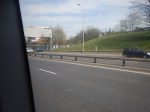
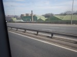
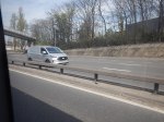
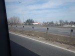
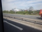
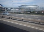
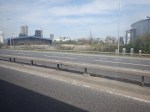
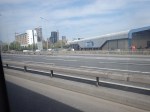
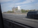
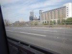
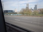
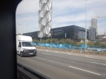
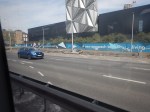
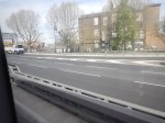
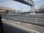
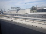
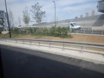
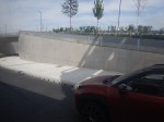
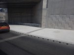
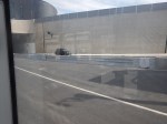
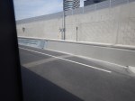
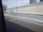
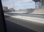
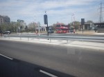
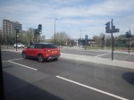
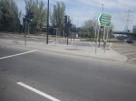
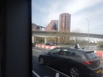
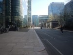
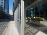
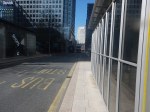
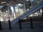
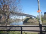
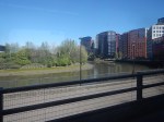
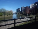
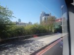
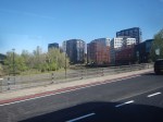
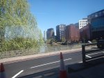
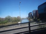
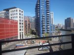
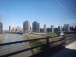
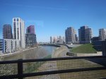
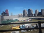
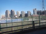
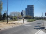
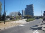
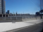
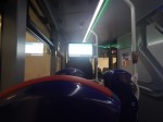
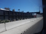
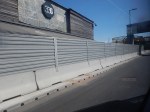
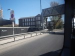
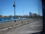
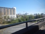
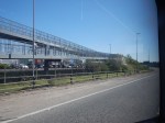
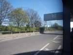
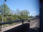
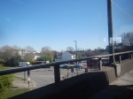
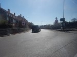
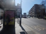
I travelled to West Ham station this morning and took these pictures on a journey to Woolwich Arsenal.
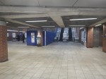

Note.
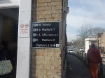
- The Docklands Light Railway and the Jubilee Line are on the same level and connected by the bridge in West Ham station.
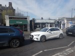
- The old DLR trains have red bodywork and the new trains have light blue bodywork.
- The first train through was a test train.
- The last row of pictures show the comparative length of the two trains at Woolwich Arsenal station.
These are some more detailed thoughts.
The Length Of The New Trains
The original cars are 28 metres long.
- Running as a 2-car train, the trains are 56 metres long.
- Running as a 3-car train, the trains are 84 metres long.
- The new 5-car trains are 86.7 metres long.
I asked Google AI how many seats were in a DLR train and received this answer.
A DLR (Docklands Light Railway) train’s seat count varies by the specific rolling stock, but newer trains have a higher capacity; for example, the new B23 rolling stock is a 5-coach unit replacing older, coupled 3-car trains and offers a total capacity of 790 passengers, with 156 seats. Older trains typically consist of two cars and have 70 seats per car for a total of 140 seats.
Newer B23 Rolling Stock:
Each 5-coach train has 156 seats.
It can carry a total of 790 passengers.
Older Trains:
These trains generally consist of two cars coupled together.
Each car has 70 seats, making for a total of 140 seats in a typical two-car train.
Older, single-unit trains may have had fewer seats, as a current 3-car train had about 680 passengers in total capacity.
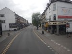
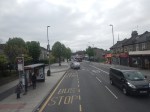
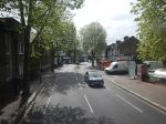
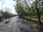
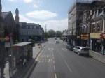
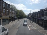
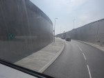
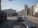
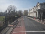
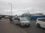
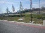
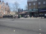
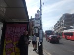
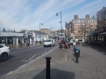
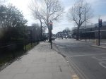
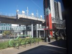
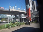
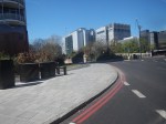
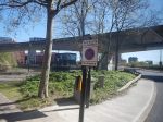
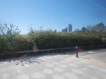
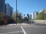
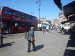
West Ham Was A Good Place To Start A First Ride
Consider.
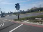
- At the present time, there aren’t many trains running on the DLR.
- There may only be a couple of trains running between Stratford International and Woolwich Arsenal.
- West Ham is an island platform, so the train goes by on both sides, which also makes it easy to get on a single train.
- West Ham is a well-connected station.
I did have to wait about thirty minutes for the train to arrive.
London Underground’s New Piccadilly Line Trains Delayed Until 2026
The title of this post, is the same as that of this article on Railway Gazette.
These are the first two paragraphs.
The new air-conditioned trains which Siemens Mobility is supplying for London Underground’s Piccadilly Line are now expected to enter service from the second half of 2026, Transport for London has confirmed.
When the order was signed in November 2018 it was envisaged that the trains would enter service from 2024.
The article also says this about the new CAF trains for the Docklands Light Railway.
The Docklands Light Railway is to implement ‘short-term timetable changes’ on less busy routes from July 21. The reduction in services aims to ensure that reliability can be maintained pending the delayed introduction of new CAF trainsets, which was originally planned for 2023 but is now expected later this year. TfL said the age of the existing trains meant some needed to be retired this summer.
It looks like has two sets of new trains, both being delivered two years late; one being German and the other Spanish.
The only factors I can think both trains being late would be.
- Bad management of the contracts by Transport for London.
- Bad documentation of the Piccadilly Line and the Docklands Light Railway, when they were built.
- Bad project management generally throughout Europe.
- All politicians will be blaming someone else.
Take your pick!
Did Plans For Crossrail Ever Include A Station At Holborn?
I have only one North-South bus route, where I live.
The 141 bus connects Palmers Green and London Bridge station.
- The 141 bus was the replacement for the 641 trolley bus, which was the main link between Wood Green, Turnpike Lane and Harringay, and the City of London, when I was a child.
- The vehicles are up to ten years old Wrightbus diesel hybrids.
- The route suffers badly from overcrowding as it connects, Bank and Moorgate stations in the City of London, with the outer reaches of the Piccadilly Line.
The overcrowding on the 141 bus route has got worse in the last couple of years because of the following.
- The rebuilding of London Bridge station brought more passengers to the 141 bus route.
- The opening of the new London Bridge bus station at London Bridge station has improved access to the buses at London Bridge station.
- The improvement of the connection of the buses to the Docklands Light Railway, Central Line and Northern Line at Bank station.
- The opening of the Battersea branch of the Northern Line, which brings more passengers to Bank station.
- The opening of the new Cannon Street entrance to Bank Underground station.
- The opening of the Elizabeth Line through Moorgate station.
- Recently, a new walking route between Moorgate and Liverpool Street was opened, which will bring more passengers to the buses on Moorgate.
- The rebuilding of Old Street station brought more passengers to the 141 bus route.
So what was the response of the Mayor and Transport for London, to all this increase of passenger numbers?
The 21 bus, which shadowed the 141 route, and doubled the number of buses through where I live, was moved to serve Holloway.
It was a big crime against mathematics and the wishes of our long-serving Labour MP; Meg Hillier.
So to handle many more passengers between London Bridge station and Newington Green through the City of London, the number of buses was halved.
I believe that the overcrowding will get worse because of the improvements, that Transport for London have planned.
- The Piccadilly Line will be getting new air-conditioned trains within a couple of years and these will inevitably attract more passengers to the line.
- On the other hand the air-conditioning may persuade passengers to use the Piccadilly Line more than they do now. Instead of changing to the 141 bus at Manor House station, passengers could change at Finsbury Park, King’s Cross St. Pancras or Holborn stations for other routes to the City of London.
- The third line to receive the new air-conditioned trains will probably be the Central Line, which would create another East-West air-conditioned line and bring more passengers to Bank station.
- The Central Line could give some relief for the buses through Bank, if an extra station was built on the Central Line to interchange with Shoreditch High Street station on the East London Line of the London Overground.
- The fourth line to receive the new air-conditioned trains will probably be the Waterloo and City Line, which would create another air-conditioned line and bring more passengers to Bank station.
- It is likely, that more services will be added to the Elizabeth Line, which will bring more passengers to Moorgate station.
- It is likely, that more services will be added to the Northern City Line, which will bring more passengers to Moorgate station.
- The Mayor is also planning to pedestrianise Oxford Street, which may fill up the Central Line with extra passengers.
It looks to me, that there will be a need for a large increase of bus capacity through the City of London on a North-South axis.
On the other hand, the City of London have stated that they will pedestrianise many of their streets.
So what can be done to avoid gridlock in the City of London?
Develop The Northern City Line At Moorgate
I use this route regularly to and from Moorgate station.
- It already has new Class 717 air-conditioned trains.
- The route is already digitally signalled in conjunction with the East Coast Digital Programme.
- It has two platforms at Moorgate station.
- Highbury & Islington station has interchanges with the Victoria Line and the North and East London Lines of the London Overground.
- Finsbury Park station has interchanges with the Victoria Line and National Rail services.
- Bowes Park station has an out of station interchange with Bounds Green station on the Piccadilly Line.
- Step-free access needs improving.
- The Victorians had plans to extend the line to Lothbury near Bank station.
If the Northern City Line could handle more passengers, would passengers get to all parts of the City of London by changing at Finsbury Park and walking from Moorgate or Old Street stations?
I regularly go between my house and Moorgate, by taking a bus to Essex Road station and using the Northern City Line.
I believe that with improvements on the Northern City Line, the line could be turned into a very valuable part of London’s rail infrastructure.
Connect The Central Line And The East London Line At Shoreditch High Street Station
I wrote about this proposal in Will Shoreditch High Street Be Connected To The Central Line?
The Elizabeth Line needed to be completed before this could be started.
Build The Western Extension Of The Docklands Light Railway
I wrote about this proposal in The Bank Station Upgrade And The Western Extension Of The DLR.
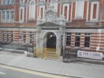
Rebuild Holborn Station
The interchange between Piccadilly and Central Line at Holborn station is difficult to say the least.
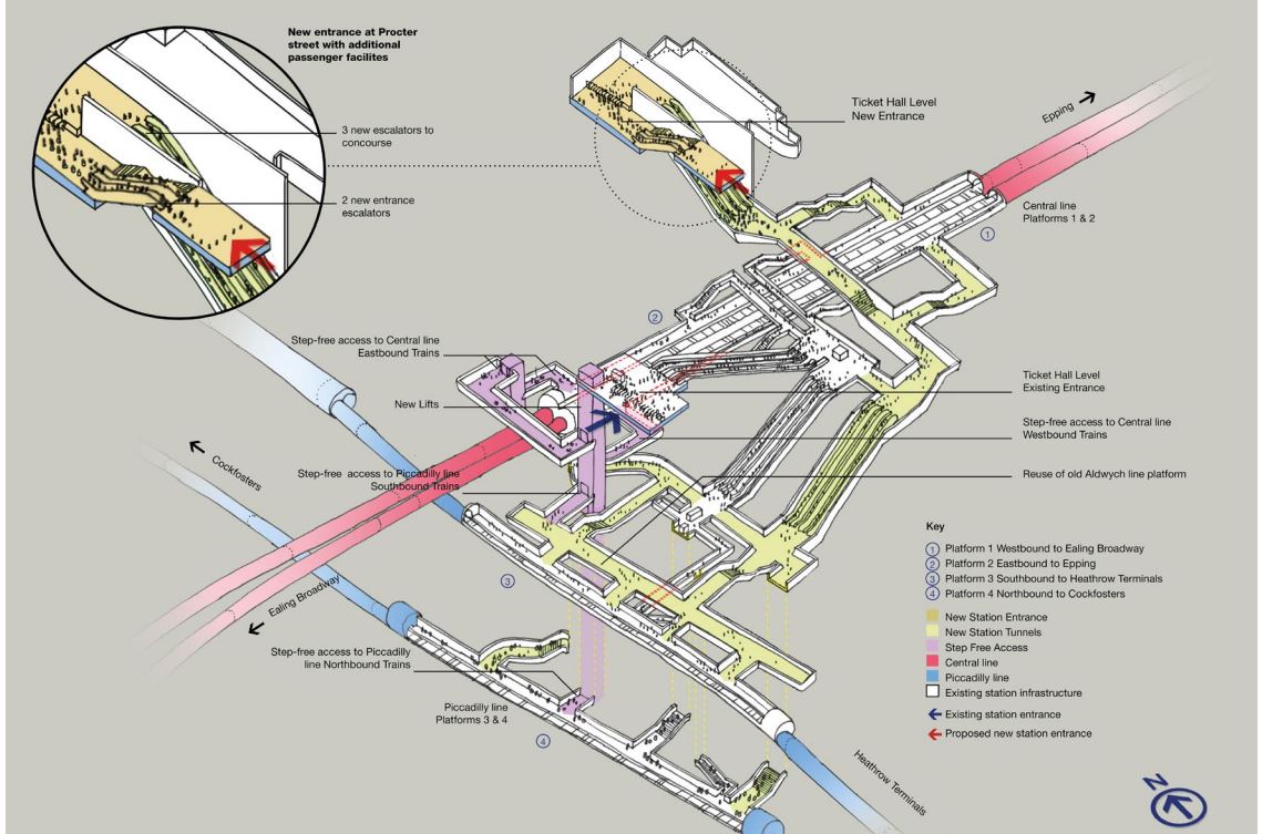
Holborn station is being extended with a new entrance. As with Euston, I suspect it has been designed with a feasible place for DLR platforms to be added.
This document on the TfL web site, gives more details of what is proposed at Holborn station.
I extracted this visualisation of the proposed station.
This map from carto.metro.free.fr shows the lines in the through and around the station.
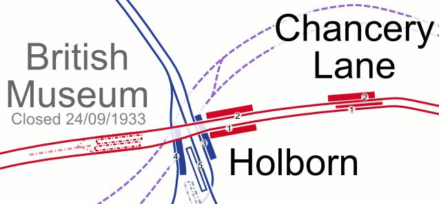
.Note, the Elizabeth Line, which is shown by dotted lines passes to the North of the station.
Conclusion
Not all these improvements need to be done, but each would improve transport in the City of London.
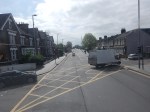
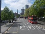
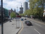
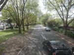
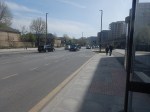
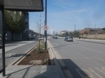
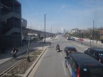
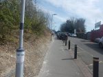
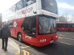
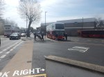
Between Walthamstow Central And Canning Town Stations On A 69 Bus
I have a feeling, that the 69 bus route, which currently runs between Walthamstow Central and Canning Town stations, could be usefully extended to become.
- A new route through the Silvertown tunnel.
- A formal connection between the Eastern ends of the Victoria and Jubilee Lines
- Part of Superloop
I took these pictures from the front of the top deck.
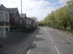
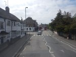
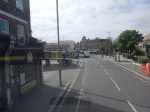
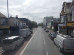

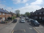
Note.
- I was sitting at the front of the bus on the right side of the top deck.
- Walthamstow Central station is served by the Victoria Line and the London Overground.
- The 69 bus runs every few minutes.
- Walthamstow Central station has a well-connected modern bus station.
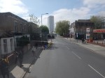
- Leyton Midland Road station is on the Gospel Oak to Barking Line.
- The Leyton Engineer appears to be a beautifully restored pub.
- The six-lane A12 East Cross Route is crossed on a bridge just before Leyton station.
- Leyton station is on the Central Line.
- Maryland station is on the Elizabeth Line.
- The Great Eastern Main Line and the Elizabeth Line are crossed on a bridge at Maryland station.
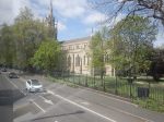
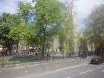
- The prominent church is St. John’s, Stratford.
- Plaistow station is on the Metropolitan Line.
- Canning Town station is on the Jubilee Line and is a hub for the Docklands Light Railway.
- Canning Town station is suffering a degree of refurbishment at the moment and is a bit of a nightmare on foot at the moment.
The 69 bus route connects eight railway stations and at least eight railway lines.
The roads are generally wide and there are more trees than in other parts of London.
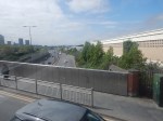
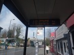
Is The Silvertown Tunnel A Silver Elephant?
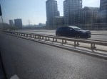
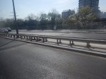
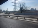
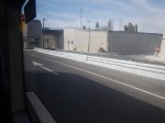
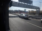
I have been through the Silvertown Tunnel several times now and every time the bus has never really slowed for lots of traffic.
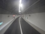
I went through this morning on Easter Sunday and these pictures show all the other traffic I saw.
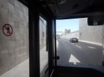
Note.
- I was sitting in the front passenger seat of a 129 bus, which is on the left of the bus.
- We were going from South to North through the Silvertown Tunnel.
- I could read the driver’s speedometer and it showed within a mile per hour of thirty all the way.
- We were passed by only one car in the tunnel.
- There were about a dozen passengers on the lower deck of the bus.
- I didn’t check how many were on the top deck of the bus.
Even on an Easter Sunday, I would have thought the service would have been busier.
Is The Silvertown Tunnel A Silver Elephant?
There are two answera to this question.
- Yes – A lot of money has been spent for just a few cars and bus passengers to have an easy ride through the tunnel.
- No – As traffic is flowing freely through the tunnel, it shows the tunnel is doing its job and freeing up traffic in East London.
But whatever view you take, a lot of money has been spent for a small number of vehicles and passengers to pass through the tunnel.
I also suspect very little extra revenue is being generated.
The Jubilee Line Was Busy
The complete route I took this morning was as follows.
- Home To Angel – 38 bus – Not very busy.
- Angel to London Bridge – Northern Line – Not very busy.
- London Bridge to North Greenwich – Jubilee Line – All seats taken.
- North Greenwich to West Silvertown – 129 bus – Not very busy.
- West Silvertown to Canning Town – Docklands Light Railway – Not very busy.
- Canning Town to Canada Water – Jubilee Line – All seats taken.
- Canada Water to Dalston Junction – Overground – Not very busy.
- Dalston Junction to Home – 30 bus – Not very busy.
Note.
- Only the sections on the Jubilee Line were really busy, with all seats taken.
- London Bridge, Stratford and Waterloo stations on the Jubilee Line are also busy National Rail stations.
- London Bridge, Canada Water, North Greenwich, Canning Town and Stratford all have large modern well-designed bus stations within easy walking distance of the Jubilee Line.
- Given, that there is now a charge to cross the river, have a lot of people decided to take the Jubilee Line rather than their car to go to the O2 at North Greenwich and the Olympic Park and Eastfield at Stratford?
I strongly feel, that more capacity is needed on the Jubilee Line, as no matter what time I use it, I never seem to get a seat.
Taking The Dover Road
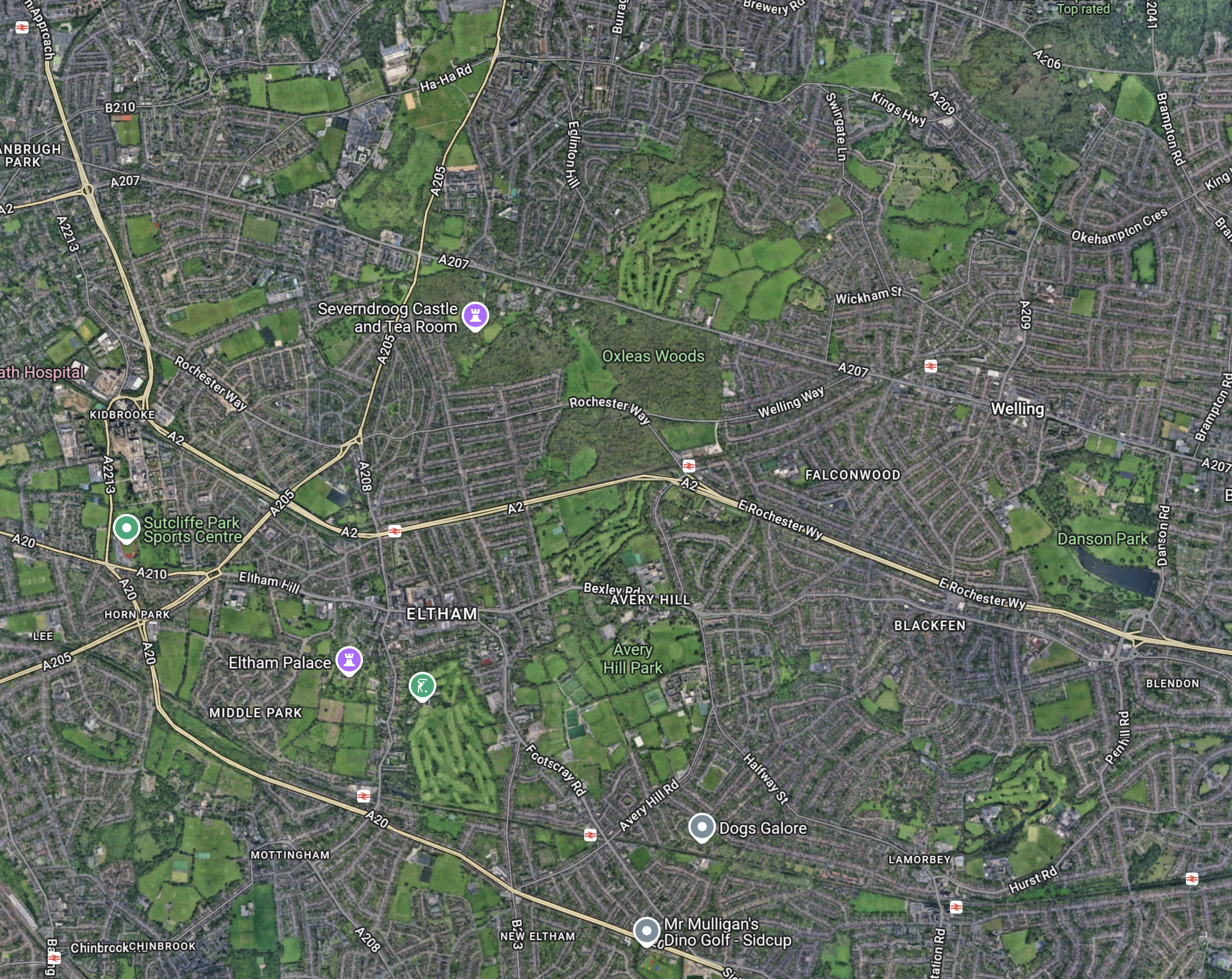
This Google Map shows how the A2 ( the Dover Road) links up with the Silvertown and Blackwall Tunnels.
Note.
- The O2 in the North-West corner of the map, with North Greenwich station in red under it.
- The Blackwall Tunnel crosses the river to the North-West of the O2.
- The Silvertown Tunnel crosses the river to the East of the O2.
- Running diagonally across the map is the Blackwall Tunnel Southern Approach, which also serves the Silvertown Tunnel.
- The station to the West of the Southern Approach is Westcombe Park station.
- Click the map to show it to a larger scale.
This second Google Map shows the O2, North Greenwich station and the approaches to both tunnels.
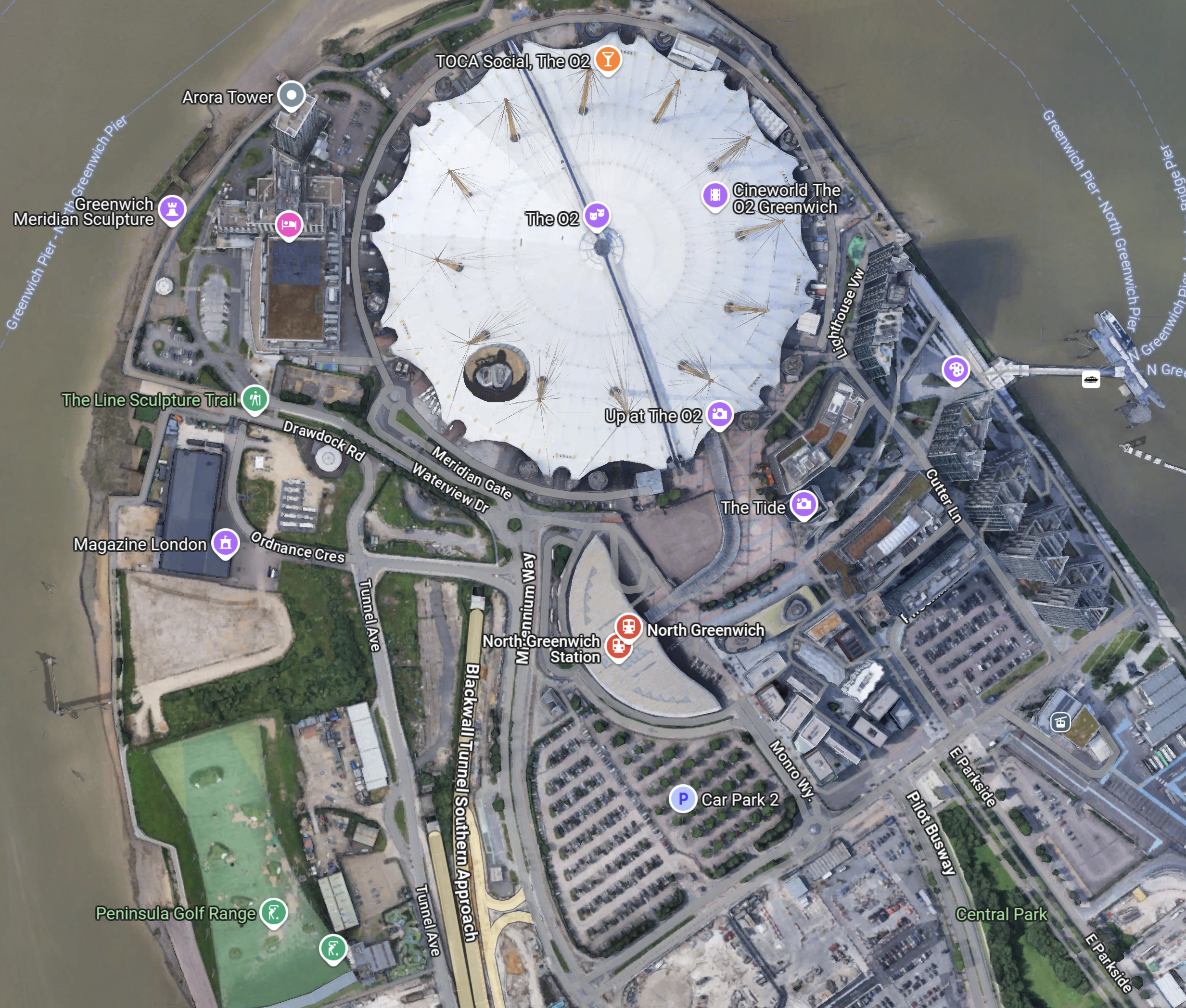
Note.
- The half-moon-shaped building is North Greenwich station.
- The tunnel approaches are rather complicated, but seem to be working well.
- There is lots of car parking.
- The Blackwall Tunnel Southern Approach leaves the tunnles in a Southerly direction.
- Click the map to show it to a larger scale.
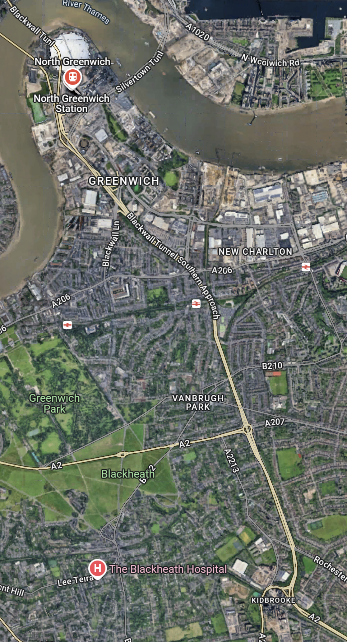
This third Google Map shows how the A2 (Dover Road) and A20 (Folkestone Road) link up to the Blackwall Tunnel Southern Approach.
Note.
- The station in the North-West corner of the map is Westcombe Park.
- The road running diagonally South-East from the corner is the Blackwall Tunnel Southern Approach.
- The Blackwall Tunnel Southern Approach then turns East to join with the A2 (Dover Road).
- The Blackwall Tunnel Southern Approach also links up with the A20 (Folkestone Road) , which is the other road running diagonally at the bottom of the map.
In some ways, I am rather surprised at how little traffic is passing through the tunnels given this double dual-carriageway/motorway connection to East Kent, the Channel Tunnel and the Continent. It also has a double connection at both the A2 and A20 to join the M25.
Perhaps, it does mean that the charges are frightening drivers away.
The Roads To The North
This Google Map shows the main approach road to the Blackwall Tunnel.
Note.
- The O2 and North Greenwich station in the South-East corner of the map.
- The Blackwall Tunnel crosses the river to the North-West of the O2.
- The A12 dual-carriageway runs North up the Lea Valley through Hackney.
- There is a dual-carriageway/motorway box formed by the M11 in the West, A12 in the East, M 25 in the North and A 406 in the South to speed traffic on its way, including to the two main routes to the North; the M1 and the A1.
I have lived for thirty years of my life in North London, and I feel, that although the roads to the North of London could be improved, I don’t suspect they are the reason drivers are not using the Silvertown and Blackwall Tunnels.
I would suspect that drivers don’t like or trust the charging system, or could it be that the public transport system in London and especially the East of London is too good?
But we do need to increase the capacity of the Jubilee Line either directly or would a high-capacity bus-route shadowing the line, be able to add the extra capacity needed?
Between West Silvertown And Lewisham Stations On A 129 Bus
I took this route today for these reasons.
- To find out how busy the Silvertown Tunnel is on a Saturday.
- To explore if using West Silvertown station on the Docklands Light Railway is a good idea.
- To look at the route to Lewisham, South of the Thames.
I took these pictures from the right front seats of the double-decker Chinese bus.


Note.
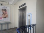
- The transfer from Docklands Light Railway to the 129 Bus at West Silvertown station was easy. I used the station’s lift.
- The traffic flows smoothing through the junction and into the tunnel.
- The Chinese haven’t developed self-cleaning windows.
- Did we pass a dead bicycle bus?
- As they often do, a Tesco truck was blocking the route of the buses.
- The route goes all the way through historic Greenwich.
- I spotted quite a few 129 buses going the other way.
- Walking between the end stop at Lewisham Shopping Centre and the station is not an easy exercise. There needs to be more maps and light-controlled crossings.
I came back from Lewisham on the Docklands Light Railway to Shadwell.
How Did I Meet My Objectives?
These were my observations.
- The Silvertown Tunnel was only about as busy as I observed in the week.
- Using West Silvertown station on the Docklands Light Railway didn’t seem a bad idea. I just missed a 129 bus and caught the next one in eight minutes.
- The 129 bus is an easy way to get from Docklands to Historic Greenwich.
As the 129 bus also calls at the London City Airport, by connecting Greenwich to the airport, I suspect, that it gives excellent opportunities for travellers, who want to fly into the airport and stay in or visit an area like Greenwich.
Could The Silvertown Tunnel Handle More Buses?
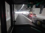
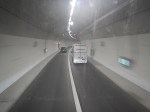
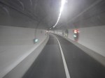
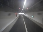
In A Return Journey Through The Silvertown Tunnel On A 129 Bus, I took these pictures inside the Silvertown Tunnel when the bus was coming North.
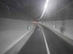
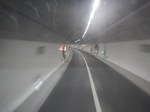
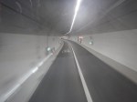
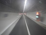
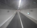
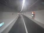
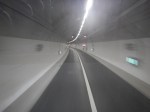
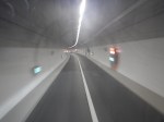
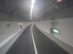
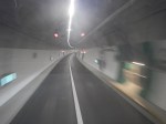
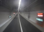
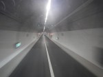
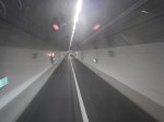
Note.
- The left lane is marked Bus Lane.
- Only one car is visible in the right lane.
- The tunnel seems well-lit.
I have some thoughts
Where’s The Traffic?
It does appear that two apparently empty lanes in each direction, don’t carry a large number of vehicles.
- Have the tolls and arguments frightened traffic away?
- Are the tolls too high?
- From the full set of pictures in the linked post, it would appear more vehicles were using the Blackwall Tunnel.
- Could it be that drivers are frightened of getting a speeding ticket?
- Are drivers frightened of sharing the tunnel with buses and heavy trucks?
Both bores of the Silvertown Tunnel seem to have similar traffic levels.
What’s The Capacity Of A Bus Lane?
In the Wikipedia entry for bus lane, this is said.
The busiest bus lane in the United States is the Lincoln Tunnel XBL (exclusive bus lane) along the Lincoln Tunnel Approach and Helix in Hudson County, New Jersey, which carries approximately 700 buses per hour during morning peak times an average of one bus every 5.1 seconds.[ In contrast, the Cross-Harbour Tunnel in Hong Kong carries 14,500 buses per day, or an average of about 605 an hour all day (not just peak times), but the bus lane must give way to all the other road users resulting in long queues of buses.
Perhaps a more realistic example of tunnel capacity from the UK, would be the Victoria Line, which handles thirty-six * eight-car trains per hour (tph) in both directions in two tunnels.
I would certainly expect that if Dear Old Vicky can manage 36 x 8-car trains per hour, then the Silvertown tunnel could handle thirty-six buses per hour.
Especially, if the buses had a distance keeping capability, as many trains do.
How Many Buses Per Hour Are Planned to Use The Silvertown And Blackwall Tunnels?
This handy map from Transport for London, shows the three bus routes passing through the Silvertown and Blackwall Tunnels.
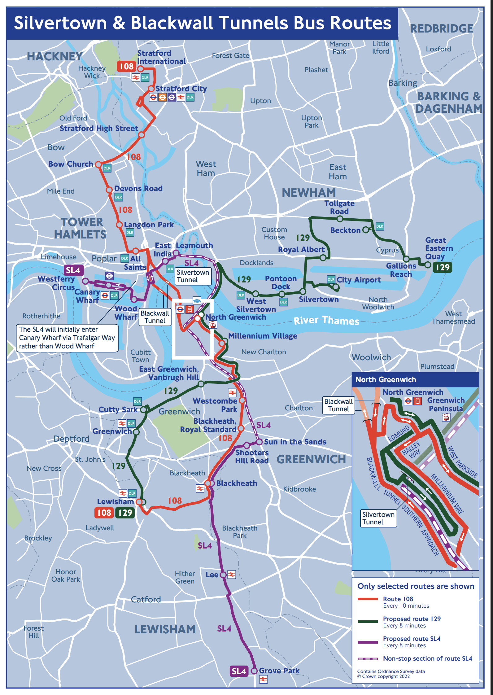
Click the map to show it to a larger scale.
The map gives these frequencies for the three bus routes using the tunnels.
Bus Route SL4
Operates once every 8 minutes or at seven buses per hour.
Bus Route 108
Operates once every 10 minutes or at six buses per hour.
Bus Route 129
Operates once every 8 minutes or at seven buses per hour.
Silvertown Tunnel Bicycle Shuttle
Google AI says this.
The Silvertown Tunnel cycle shuttle bus runs approximately every 12 minutes, operating daily from 6:30 am to 9:30 pm, except for Christmas Day, offering a safe and quick way for cyclists to cross the Thames.
This operates at five buses per hour.
Number Of Buses Through The Tunnels
There will be around nineteen buses per hour, through the Silvertown Tunnel and six through the Blackwall.
The Silvertown Tunnel looks like it has been designed to accept more buses.
One thing this means, is that if the Blackwall gets shut, then the 108 can use some of the spare capacity in the Silvertown Tunnel.
Could A Coach Station For Europe Use Some Of The Spare Capacity?
In Development To The West Of The North Entrance Of The Silvertown Tunnel, I displayed this.
This Google Map shows the site to the West of the North entrance of the Silvertown Tunnel.
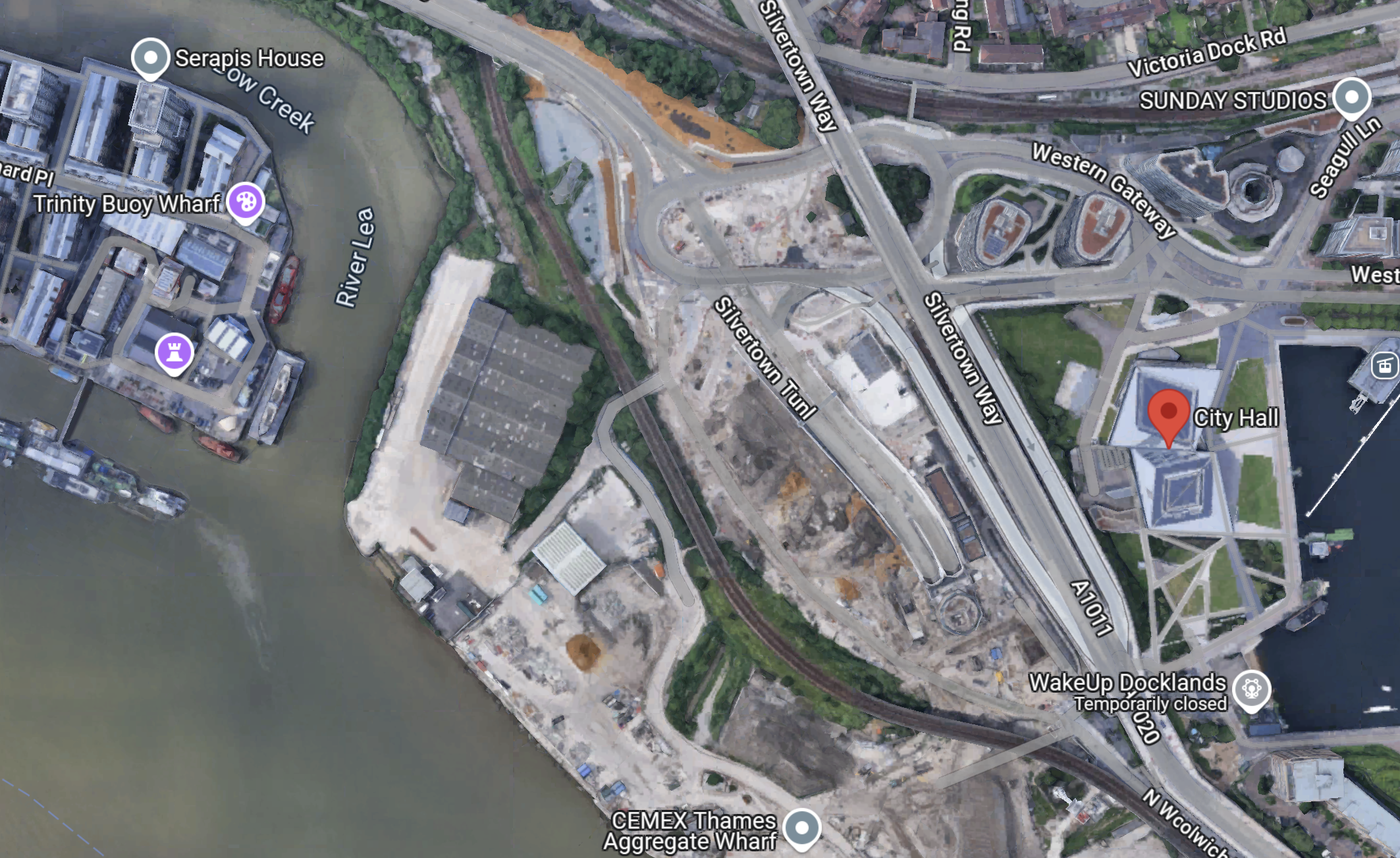
Note.
- The red arrow indicates City Hall.
- There is a large site between the DLR and the river.
- The Docklands Light Railway separates the site from the North entrance of the Silvertown Tunnel.
- The CEMEX Thames Aggregate Wharf seems to occupy part of the site.
This picture shows the North entrance of the Silvertown Tunnel from the cable-car.
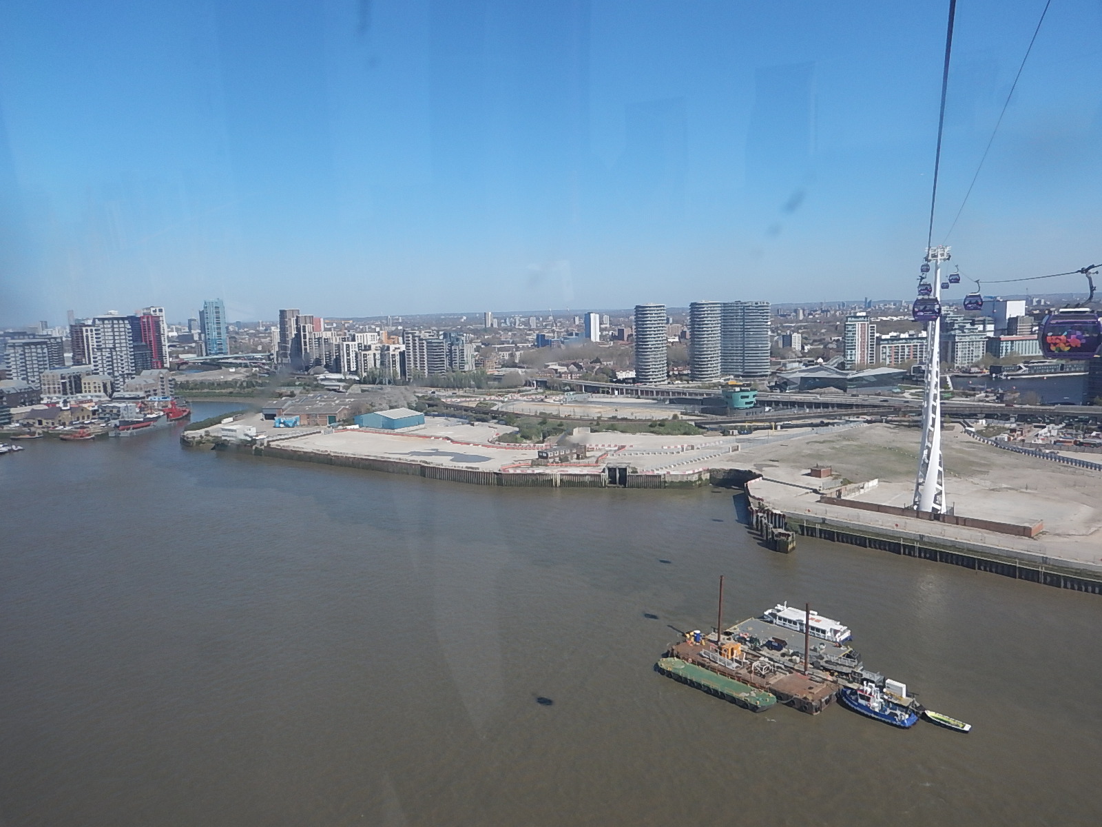
It is surely a site with development potential, as Roy Brooks would say.
It will probably be used for more tower blocks along the Thames.
But could it be used for a coach station to handle the increasing number of coaches between London and the Continent?
- A Docklands Light Railway station could be built to serve the site.
- Thames Clippers could also serve the site.
- Coaches could use the Silvertown Tunnel to start their journey out of the capital.
It is certainly a possibility.
Could The Silvertown Tunnel Be Used For Route-Proving For The Docklands Light Railway?
In TfL Considering Extending DLR As Far As Abbey Wood, I discussed extending the Docklands Light Railway to Thamesmead or Abbey Wood.
This map from Ian Visits shows the area.

Running a four buses per hour service through the Silvertown Tunnel, would be an ideal way of proving what is the best route.
Extending The Docklands Light Railway To The West
No matter how the Docklands Railway is extended to the East, either by physical means like extra branches or by virtual means like connecting to bus routes, this will mean that there will need to be more terminal capacity in the West, to take the pressure off Bank and Tower Gateway stations.
In A Connection Between City Thameslink Station And The Docklands Light Railway, I described a proposal to extend the Docklands Light Railway to Euston, St. Pancras and Victoria.
In the Wikipedia entry for the Docklands Light Railway, there is a section describing a proposed Euston/St. Pancras Extension.
This is said.
In 2011, strategy documents proposed a DLR extension to Euston and St Pancras. Transport for London have considered driving a line from City Thameslink via Holborn north to the rail termini. The main benefit of such an extension would be to broaden the available direct transport links to the Canary Wharf site. It would create a new artery in central London and help relieve the Northern and Circle lines and provide another metro line to serve the High Speed line into Euston.
This map from Transport for London, shows the possible Western extension of the DLR.
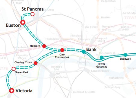
With all the problems of the funding of Crossrail 2, that I wrote about in Crossrail 2 Review Prompts Fresh Delays, could this extension of the DLR, be a good idea?
Consider.
- Victoria, Euston and St. Pancras are prosposed Crossrail 2 stations.
- It would link Canary Wharf and the City of London to Eurostar, Northern and Scottish services and High Speed Two.
- It would give all of the Docklands Light Railway network access to Thameslink.
- A pair of well-designed termini at Euston and St. Pancras would probably increase frequency and capacity on the Bank branch of the system.
- The DLR is getting new higher capacity trains.
- Bank station is being upgraded with forty percent more passenger capacity.
- Holborn station is being upgraded and hopefully will be future-proofed for this extension.
- One big advantage at City Thameslink, is that Thameslink and the proposed DLR extension will cross at right-angles, thus probably making designing a good step-free interchange easier.
- The Bank Branch of the DLR currently handles 15 tph, but could probably handle more, if they went on to two terminal stations at St Pancras and Victoria..
- Waterloo and City Line can run at twenty-four tph.
Cinderella she may be, but then she always delivers, when there is a desperate need, just as she did magnificently at the 2012 Olympics.
Something is needed to handle the extra passengers at Euston, that will be brought to London by High Speed Two. Cinderella is the only way to deliver a connection in a reasonable time.
The only problem with this extension of the DLR, is that compared to the rest of the system, the views will be terrible.
For myself and all the others living along the East London Line, with a step-free change at Shadwell, we would get excellent access to Euston, St. Pancras and Victoria.
But could the line still be called the Docklands Light Railway, as it spreads its tentacles further?
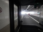
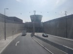
A Return Journey Through The Silvertown Tunnel On A 129 Bus
This morning, I did a return journey through the Silvertown Tunnel on a 129 bus.
These pictures summarise the journey.


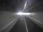


Note.
- I started at Pontoon Dock station on the Docklands Light Railway.
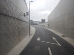
- The Pontoon Dock bus stop is difficult to find at the moment, as they are landscaping the bus stops to incorporate a cycle lane.
- The 129 bus stops at Gallions Reach, London City Airport, Pontoon Dock and West Silvertown stations on the Docklands Light Railway.
- I turned round at North Greenwich station.
- I finished my journey at London City Airport.
- The bus route turns round at Lewisham.
This could be a very useful cross river route, if you live close to the 129 bus route.
A Step-Free Adventure Under The Thames Between Moorgate and Grove Park
I am assembling this post, as a number of sub-posts, so it will not make sense until it is finished.
From Moorgate Station To East India Station
I started this adventure from Moorgate, but I could have started it from any Central London location that is well-connected to Bank station.
As I had had a full English breakfast in a pot, at Leon on Moorgate, it seemed to be a good place to start.
My route started simple, in that I took the Northern Line to Bank station and then took the Docklands Light Railway to East India station.
This first gallery of pictures shows my journey until I caught the SL4 bus at East India station.
Note.
- The first few pictures show getting to East India station on the Docklands Light Railway.
- Moorgate station has a high step into the Northern Line train.
- All the others are more or less level.
- East India station is then shown in detail.
East India station is fully step-free with lifts.
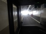
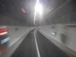
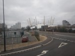
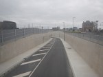
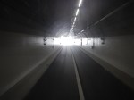
Southbound Through The Silvertown Tunnel
This second gallery of pictures shows my Southbound journey approaching and through the Silvertown Tunnel.


Note.
- The dual-carriageway leading to the tunnel wasn’t busy.
- The bus was in the inside lane all the way through.
- I don’t think anybody passed the bus.
- There appeared to be more traffic coming out of the Blackwall Tunnel.
The traffic from the two tunnels seemed to merging well.
Blackheath Station
This third gallery of pictures shows Blackheath station.
Note.
- Blackheath station has a good number of useful shops for a worthwhile pit-stop.
- There was even a fish and chip shop.
- Blackheath station has a lift to one platform and a ramp to the other.
- The bus stop I used was only a small step into the bus.
The transfer between bus and train would not be as easy as East India station, but I don’t think it would be difficult for say someone in a wheel-chair.
Lee Station
This fourth gallery of pictures shows Lee station.
Note.
- The station was a stiff uphill walk from the bus stop.
- Both platforms had their own uphill walk.
If I was in a wheel-chair, I’d give this Lee station a miss.
Grove Park
The route ends at Grove Park bus station.
This fifth gallery of pictures shows, where the bus terminated.
Note.
- It wasn’t the most interesting of places.
- I couldn’t even find a decent cafe for a coffee.
- In the fifteen minutes I was at Grove Park, I must have seen five SL4 buses.
- I’d hoped it would be near to Grove Park station, but I couldn’t see any signs to it and the two people I asked didn’t know where it was.
- In the end I had to walk about five hundred metres to get the SL4 back to Central London.
My mother always advised you take a posse with you, when you venture into South London. She was right!
When I got home, I looked up, where I’d been on Google Maps.
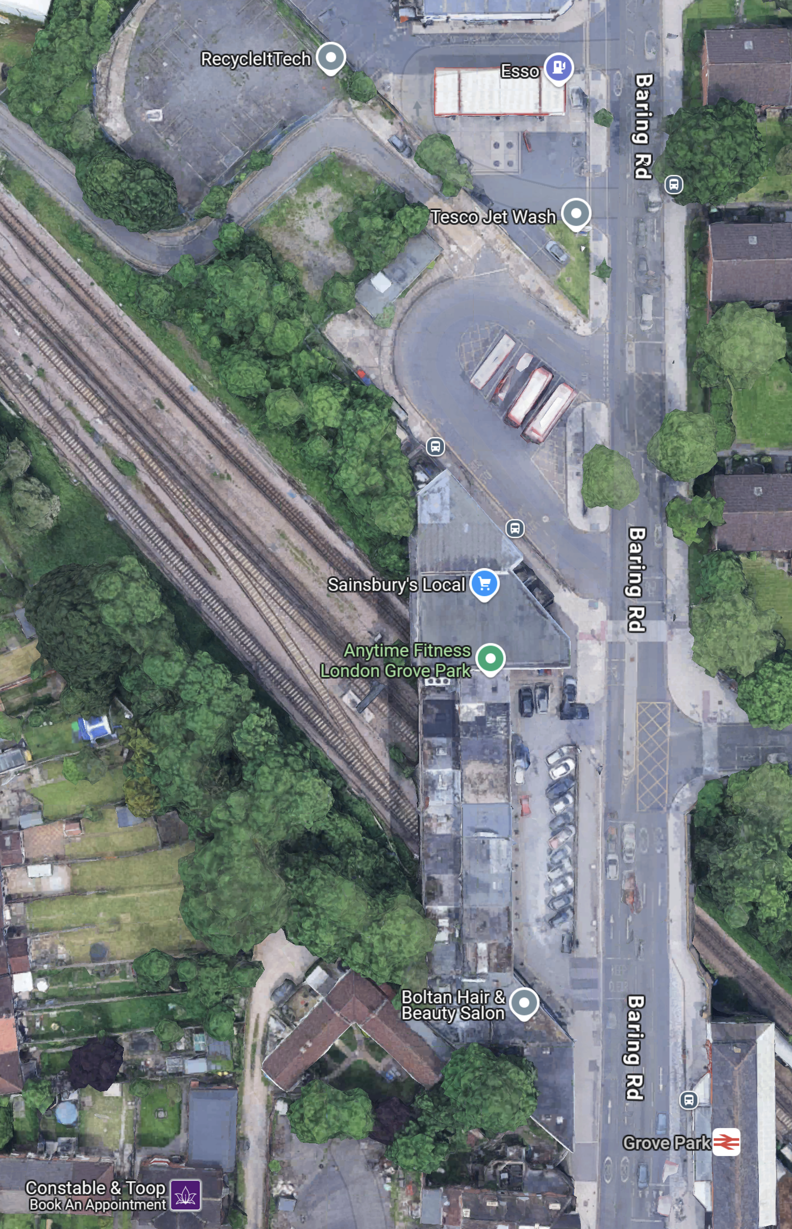
Note.
- Baring Road running North-South down the Eastern side of the map.
- The Esso filling station and the bus station are at the top of the map.
- Grove Park station is at the bottom of the map.
My mother would have said, this is why you need a posse.
Return To East India Station
This sixth gallery of pictures shows the run up the dual-carriageway approach and the run through the tunnel.
Note.
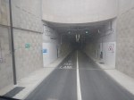
My First Trip Through The Silvertown Tunnel – 7th April 2025
These pictures show my first trip through the Silvertown Tunnel.


Note.
- The two S4 Bus Stops are not far from the Waitrose At Canary Wharf.
- I picked up the S4 Bus in the North Collonade At Canary Wharf at stop H.
- Coming North I would have been dropped at Stop J, which is close to the plaza of the famous clocks.
- Unfortunately, I was given bad information by station staff and I took a roundabout route to stop H, but a helpful security guard put me right.
- One of the first stops of the bus was East India station, which looks a good accessible interchange with the Docklands Light Railway.
I got out of the bus at Blackheath station, which was a short walk across the road from the bus stop.
I have some thoughts.
Who Chose The Chinese Buses?
On a prestige project like this it is a classic opportunity to show off, the best of British design and technology.
So undoubtedly, it was a mistake that the buses through the tunnel are Chinese.
I doubt the French, German or Spanish would have chosen Chinese buses on such a project.
Are There Enough Stops At Stations Close To The River?
There seem to be quite a few small hotels between the Silvertown Tunnel and Blackheath and I wondered if there were enough stops.
There also doesn’t appear to be a stop by Westcombe Park station.
Thirty mph Seems Fast Enough In The Tunnel
Everything seemed to be going smoothly in the tunnel.
Conclusion
I shall be writing more about the Silvertown Tunnel.
But from a first ride-through, it looks a well-built tunnel.
