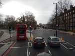
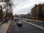
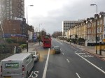
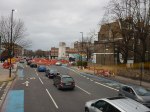
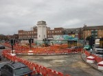
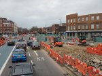
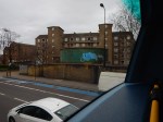
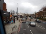
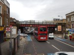
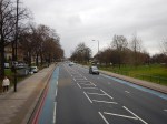
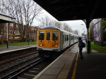
On A Bus From Kennington To Tooting Broadway
These are pictures I took from a 155 bus, as it trundled along the Northern Line between Kennington station and Tooting Broadway station.


In some ways, it is a curious journey with several ventilation shafts for the Northern Line and the deep shelters under some of the stations.
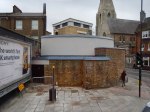
I was surprised at the number of deep level shelter entrances you can see. But at least according to this article in the Wandsworth Guardian entitled Clapham’s Second World War shelter to become cafe and exhibition, Transport for London are thinking about using these relics of World War II in a positive way.
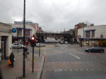
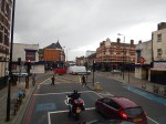
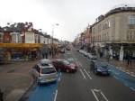
Only from a bus do you notice the closeness of Clapham High Street station on the East London Line and Clapham North station on the Northern Line. This Google Map show the two stations.
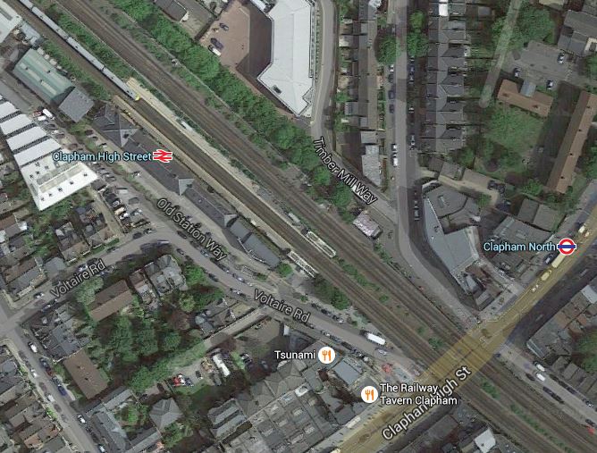
Clapham High Street And North Stations
Clapham North is one of those Northern Line stations with an island platform. This is a detailed line map from carto.metro.free.fr.
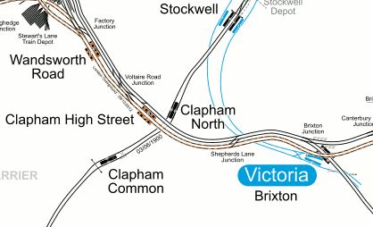
Lines Around Clapham High Street
It would appear that if Transport for London decided to sort out the dangerous (in my view!) platforms at Clapham Common and Clapham North stations, which both have escalators, then there could be some scope for an innovative step-free station linking the new platforms at Clapham North to Clapham High Street station.
It is a classic place where some extreme fag packet and used-envelop engineering washed down with several pints of real ale in the public bar of a local hostelry, could come up with an inspiring solution.
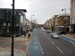
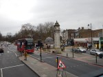
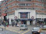
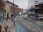
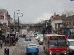
Exploring The Sutton Loop Line
The Sutton Loop Line is not well known in North London, except as a routing shown on Thameslink train information displays.
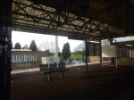
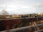
This morning, I took the line from Tooting station and after a short stop at Sutton station, I continued on my way back into Central London.
These are some of the pictures that I took.


I think the trip did give me a better understanding of this line in South London.
These points are general.
Step Free Stations
Very few of the stations I passed through had any form of step-free access.
Some were island platforms, which have their advantages, but access up and down a single wide staircase to a road overbridge is so nineteenth century.
Variable Quality Stations
Some stations have had a refurbishment and others haven’t!
A Curious Timetable
Streatham to Sutton via Wimbledon calls at more stations, than the other way via Mitcham Junction and this is reflected in the times, with the shorter route taking fifteen minutes and the longer one thirty-one minutes
The curious timings on the loop, actually mean that from Streatham station northwards or southwards, the trains have an interval of very close to fifteen minutes.
So it would be prudent to check, that you’re always taking the best way to get to your destination station!
These points are specific to stations of sections of the line.
St. George’s Hospital
According to this article in he Local Guardian entitled St George’s Hospital Trust announces support for Tooting Broadway in Crossrail 2 plans, the hospital trust is not happy.
It would be ridiculous to spend the best part of an extra billion pounds on Crossrail 2 to put the line through Tooting Broadway station, rather than Balham station, when that money could probably be spent on a mixture of patient care , better bus links, and a lift or two at the Underground station. The latter will happen anyway, whether Crossrail 2 is built or not!
Could there be a better solution for step-free transport access to St. George’s Hospital?
Look at this Google Map of the hospital in relation to Tooting Broadway station and the Sutton Loop Line to the west of Tooting station.
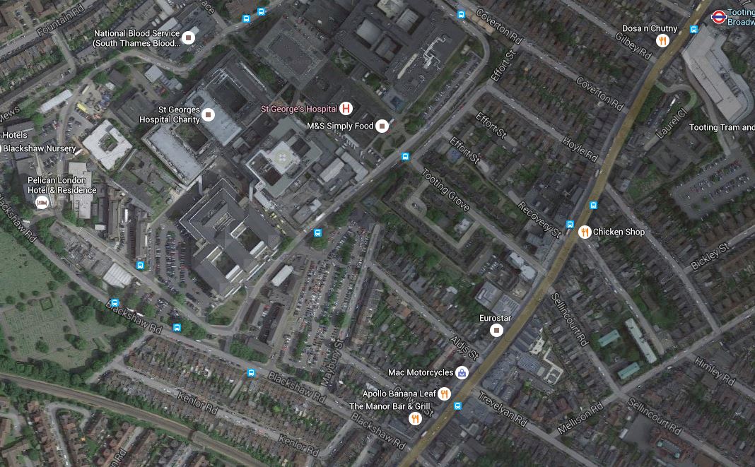
St. George’s Hospital, Tooting Broadway Station And The Sutton Loop Line
Tooting Broadway station is at the top right of the map and the Sutton Loop Line runs across the South West corner of the map.
If a new station were to be built on that line, with full step-free access, it would be closer to the Hospital, than any station on Tooting Broadway. It would also be close to some of the bus stops that serve the hospital.
Haydons Road Station And AFC Wimbledon’s New Stadium
This Google Map shows Haydons Road station and the site of AFC Wimbledon‘s new home at Wimbledon Stadium.

Haydons Road Station And AFC Wimbledon’s New Stadium
The stadium will be at the old greyhound stadium, which is the two green circles at the top.
The green scar from the stadium site to the east of the station, is the course of the River Wandle. Surely, a riverside walk should be created for supporters walking between the stadium and station.
The map also shows the amount of land wasted in the area by unnecessary cemeteries. How many houses could be built on the land they occupy?
Wimbledon Station
Trains on the Sutton Loop Line always use Platform 9 at Wimbledon station, which gives cross-platform access to Tramlink on Platform 10.
So one train might be going to Sutton and the next to Central London and beyond.
Wimbledon Chase And South Merton Stations
These two stations are shown on this Google Map.
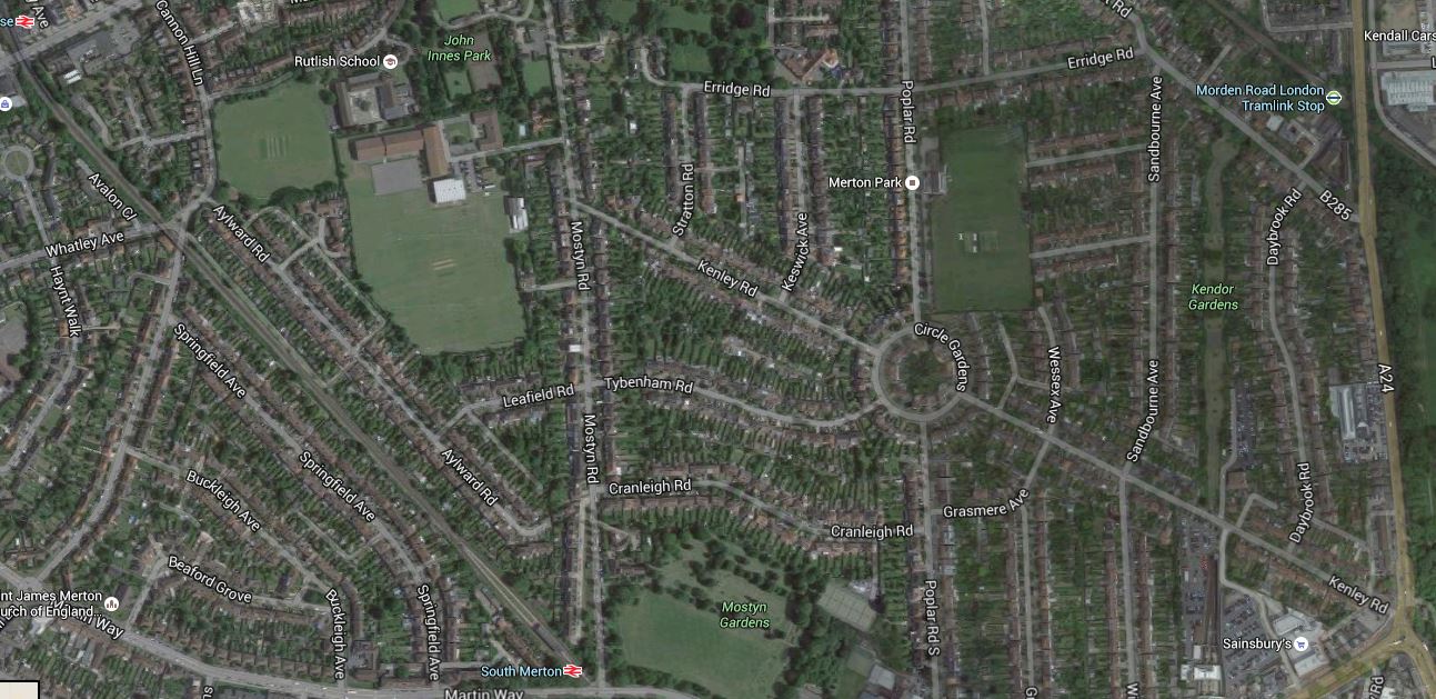
Wimbledon Chase And South Merton Stations
Wimbledon Chase station is at the top left and South Merton station is at the bottom, just tom the left of the middle.
You will notice, I’ve included the main A24 road on the map.
This is because that road could be used for an extension of Tramlink from South Wimbledon to Sutton via St. Helier Hospita;. This map shows that extension.
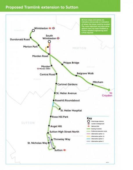
St Helier Tramlink
Transport for London and the London Borough of Merton are opening up a lot of possibilities here and I hope that a world-class solution emerges, to link the whole corridor together.
Morden South And Morden Stations
This Google Map shows the close relationship between Morden South station and Morden station
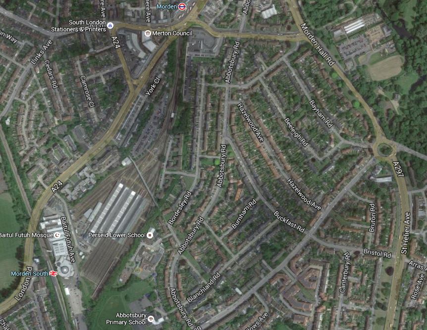
Morden South And Morden Stations
Their close location and the depot in betwen, has always puzzled me. It is explained in the History section for the Wikipedia entry for Morden station.
It was all down to railway politics, between Southern Railway and the Underground companies.
You just wonder though, if they were sorting out the lines around Wimbledon, that something could be done to make it easy to connect between the two stations.
Hackbridge
I hadn’t heard about Hackbridge, which is a suburb in the London Borough of Sutton.
But there is a Hackbridge Masterplan on Wikipedia. This is the first paragraph.
The London Borough of Sutton is working to make Hackbridge the ‘UK’s first truly sustainable suburb’. There has been a regeneration scheme in Hackbridge which has a number of developments on many sites. These are mentioned as part of the Hackbridge Regeneration. Detailed plans include proposals for new eco-friendly homes, more shops, leisure and community facilities, jobs, sustainable transport and pedestrian/ cycle initiatives, improved networks and open spaces.
It all sounds good to me. This is a Google Map of the area.
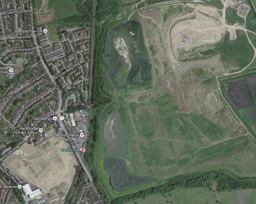
Hackbridge
Note the rail line going up the map with Hackbridge station about a quarter of the way up.At the top of the map, is an icon indicating the BedZed Pavilion.
If they are truly into green transport, it strikes me, that there needs to be another station between Hackbridge and Mitcham Junction, which is the next one to the North. As the Tramlink through Mitcham Junction runs down the eastern side of the site and has a stop at Beddington Lane on the north east corner, I would also feel that there scope for extensions to the through Hackbridge.
The Future Of The Sutton Loop
With all the investment in Thameslink, there is no doubt that the future of the Sutton Loop is secure, but what will it look like in ten or twenty years?
I think it seems to have suffered a lack of imaginative thinking in the past few years, but with Transport for London thinking hard about a new interchange hub at Streatham Common station, that I wrote about in Puzzled Over Streatham Common Station, I think we’ll see some more improvements.
A lot of the stations need to have a refurbishment and proper step-free access.
If this follows the pattern of previous lines in London and elsewhere, I think that after station improvement, this line will need additional services.
As it won’t be possible to get more trains through the core, then this could need for some form of local train or tram-train on the loop. Perhaps these would terminate at perhaps Streatham Common station, which I wrote about in Puzzled Over Streatham Common Station.
If two extra trains each way round the Sutton Loop were to be added, they could be timed to run every fifteen minutes between the existing services. So each station on the loop would get a four trains per hour service both ways.
One possibility would be to do the extra services with tram-trains, which after Streatham Common, went on to Croydon to connect up with the existing Tramlink routes.
As I said earlier trains go through Streatham to and from the loop every fifteen minutes, which would be every 7-8 minutes with the extra trains.
So if say you wanted to go to Central London, if you caught an intermediate train on the loop, you might have to wait 7-8 minutes for a Central London train.
The possibilities are endless.
Obviously, traffic patterns will determine how the line develops, but I predict that there will be a big future for the Sutton Loop.
