Improvements To Southbury Station
This post on IanVisits is entitled Enfield Council Outlines Possible Rail Station Upgrades.
By reading Enfield Council documents, Ian has found possible station improvements that might happen.
Ian says this about Southbury station.
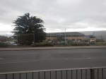
A mixed-use redevelopment of the Morrisons and Tesco supermarkets on either side of the station which could add about 820 new homes would also be expected to contribute to improvements at the railway station.
The redevelopment of the Crown Road lorry park would be expected to improve cycle and pedestrian routes to the station.
This Google Map shows the station.
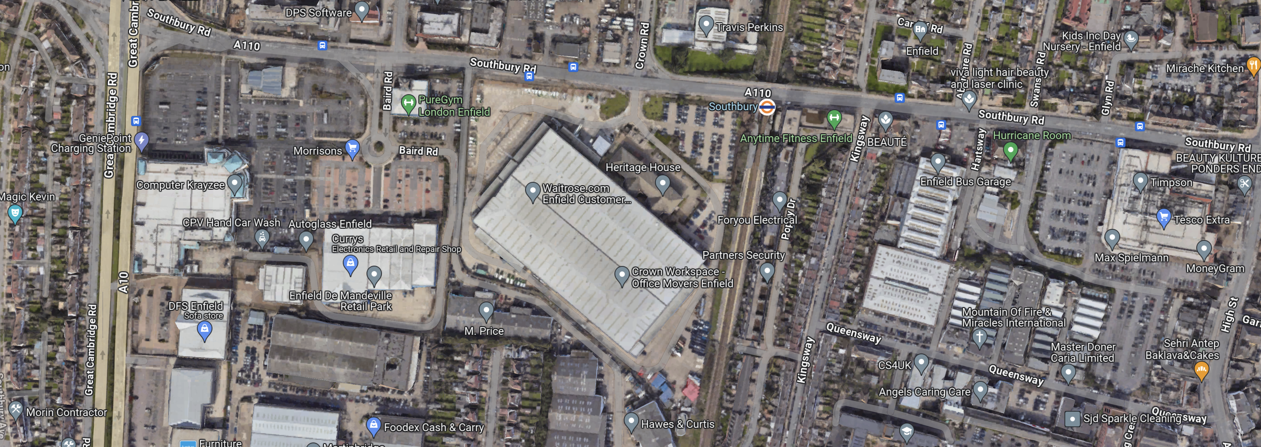
Note.
- The London Overground orange roundel indicates the station.
- The station is on Southbury Road, which runs East-West across the map.
- At the Western edge of the map, the dual-carriageway is the A10.
- Morrisons is to the South-East of the junction.
- Tesco is at the Eastern edge of the map.
This Google Map shows the Morrison’s site.
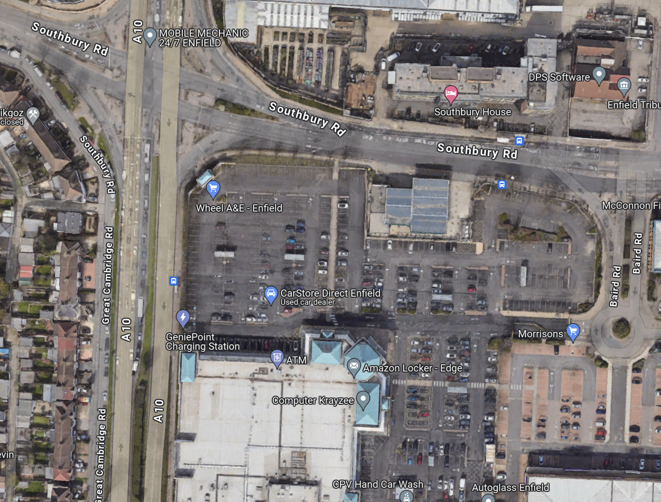
Today, there is an article in The Times, which is entitled Morrisons To Sell Petrol Forecourts.
Perhaps, Morrisons have told Enfield Council, that they wouldn’t be against a mixed development.
This Google Map shows the Tesco site.
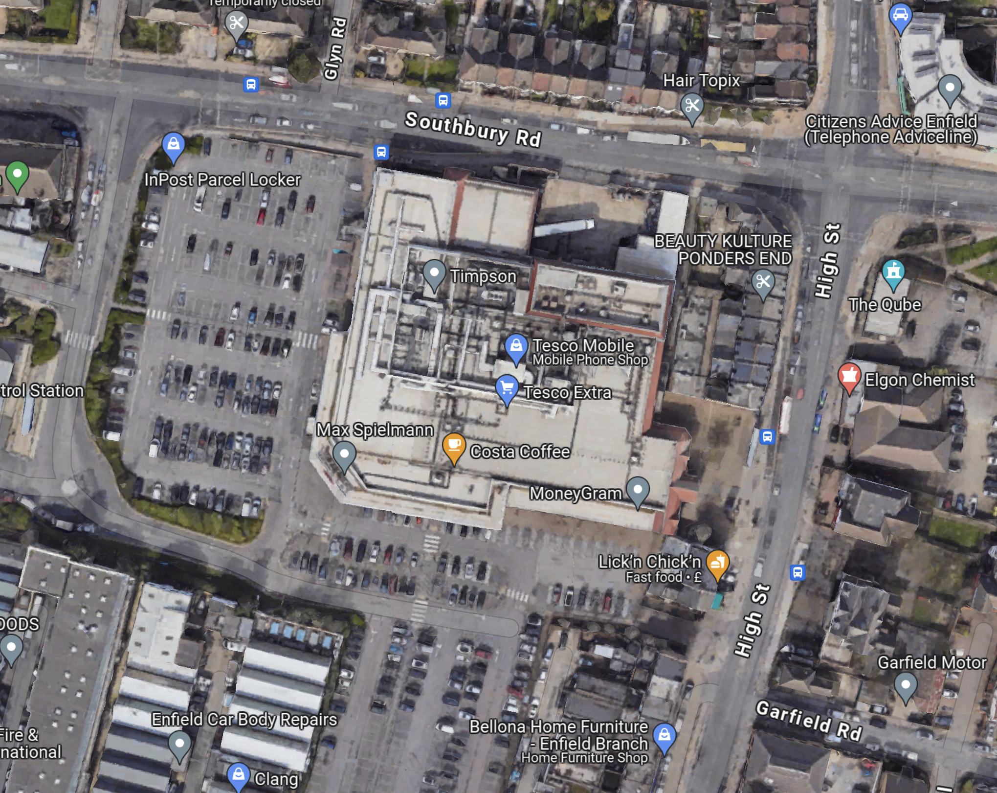
The two sites, if they were rebuilt with flats on top of new supermarkets could yield a lot of new housing.
I took these pictures of the station.
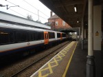
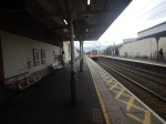
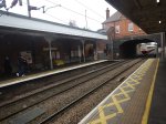
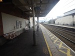
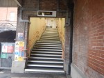


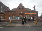

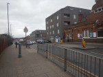
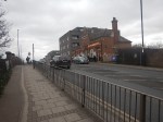


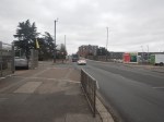
Note.
- The station has an attractive building.
- The station sits on a bridge over the railway.
- The station needs lifts, a light-controlled crossing across the busy road and a professional makeover.
- The two supermarkets are about 500 metres from the station.
- The bus stops are badly-placed for the station entrance.
- The art-deco building is the former Ripaults factory and is Grade II Listed.
But by spending a bit of money, it could be a much better station.
No comments yet.

Leave a comment