Improvements To Brimsdown Station
This post on IanVisits is entitled Enfield Council Outlines Possible Rail Station Upgrades.
By reading Enfield Council documents, Ian has found possible station improvements that might happen.
Ian says this about Brimsdown station.
A modest development on the Brimsdown sports ground could contribute towards improvements to access and facilities at the nearby station, supported by some additional housing in clusters around the area.
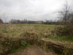
This Google Map shows the station and the sports ground.
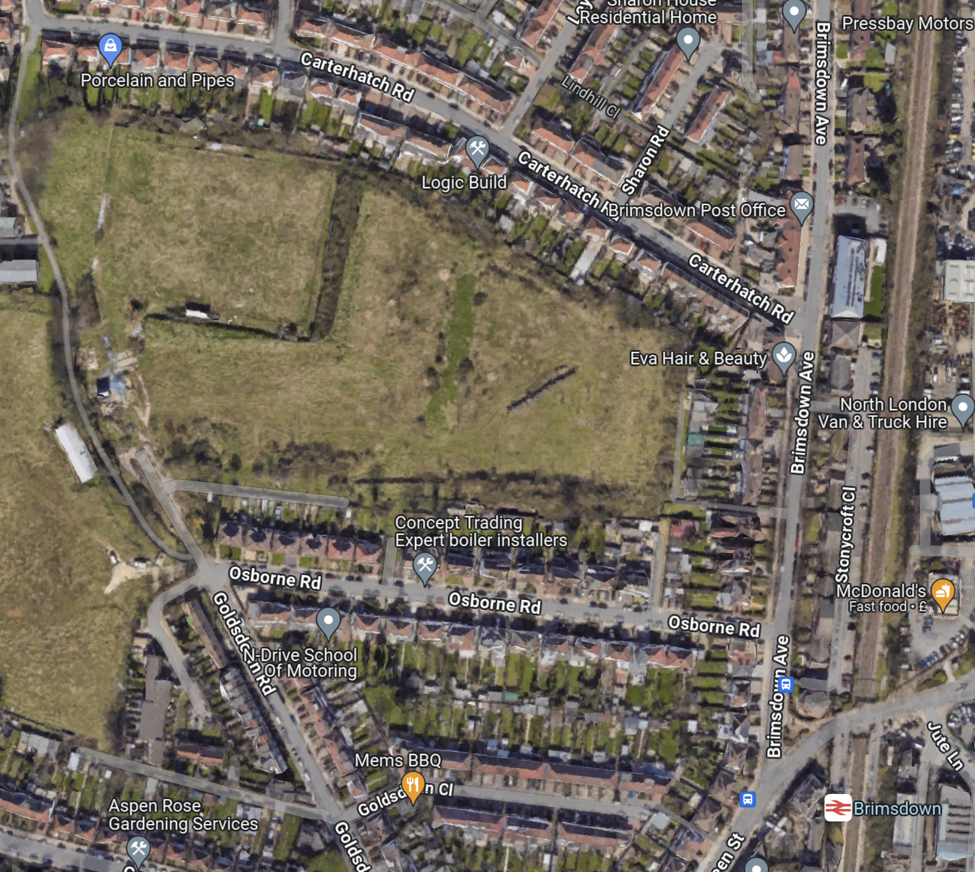
Note.
- The West Anglia Main Line runs North-South at the Eastern edge of the map.
- Brimsdown station is in the South-East corner of the map.
- Brimsdown sports ground is the green space to the North-West of the station.
- From zooming in, it looks like the main sport on the sports ground is fly tipping.
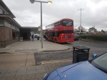
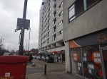
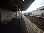
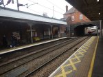
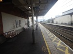
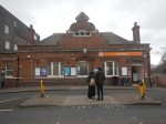
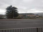
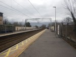
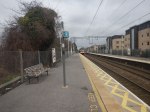
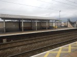
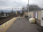
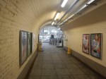
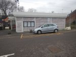
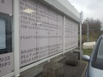
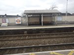
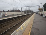
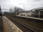
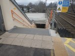
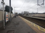
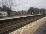
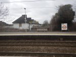
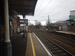
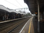
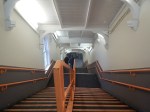
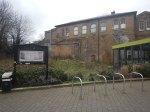
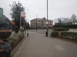
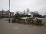
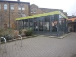
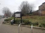
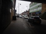
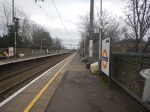
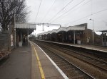
These pictures show the station.
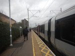
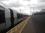
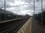
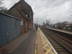
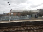
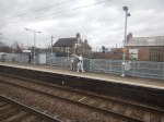
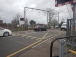
Note.
- I feel today, was probably the first time, I’d caught a train either to or from the station.
- But I must of cycled over the level crossing scores of times going to work at Enfield Rolling Mills.
- After I got my driving licence, I also used to deliver my father’s stationery and other printed goods to the same firm.
Sadly, the firm, where I got my first real taste of industry, that taught me so much is long gone.
Improvements To Oakwood Station
This post on IanVisits is entitled Enfield Council Outlines Possible Rail Station Upgrades.
By reading Enfield Council documents, Ian has found possible station improvements that might happen.
Ian says this about Oakwood station.
Building around 50 homes on the station car park should contribute to street improvements around the station.
This Google Map shows the station and its two car parks.
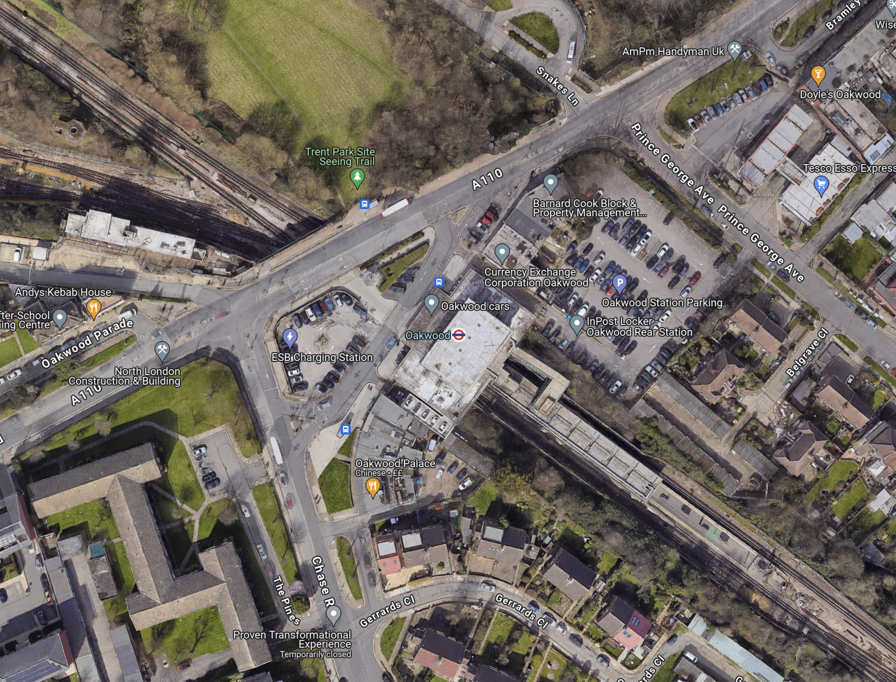
Note.
- The Piccadilly Line runs North-West-South-East diagonally across the map.
- Cockfosters station is to the North-West.
- Southgate station is to the South-East.
- Oakwood station is in the middle of the map and marked by a London Underground roundel.
- The car park to be developed is to the North-East of the station.
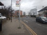
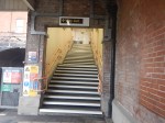
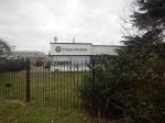
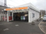
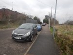
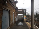
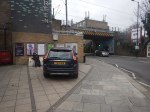
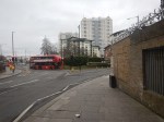
I took these pictures.
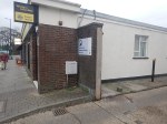

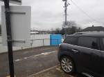
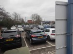

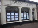

Note.
- The car-park was full.
- The station is step-free.
- Barnard Cook was there, when I lived in Oakwood in the early 1960s.
I can’t see any problems building a few houses on the car-park, but what will happen to the cars?
To me though Oakwood station is defined by this post; The Place Where The Bottom Fell Out Of A Drawer.
Improvements To Enfield Town Station
This post on IanVisits is entitled Enfield Council Outlines Possible Rail Station Upgrades.
By reading Enfield Council documents, Ian has found possible station improvements that might happen.
Ian says this about Enfield Town station.
There’s an empty plot of land next to Enfield Town station which used to be the Enfield Arms pub until it was demolished in 2005. The council wants that site to be used for housing, and to fund improvements to the pedestrian space outside the station.
They also suggest it may also contribute to increased peak hour trains on the London Overground, which would likely need a far bigger development than could be achieved in the site.
This Google Map shows the station.
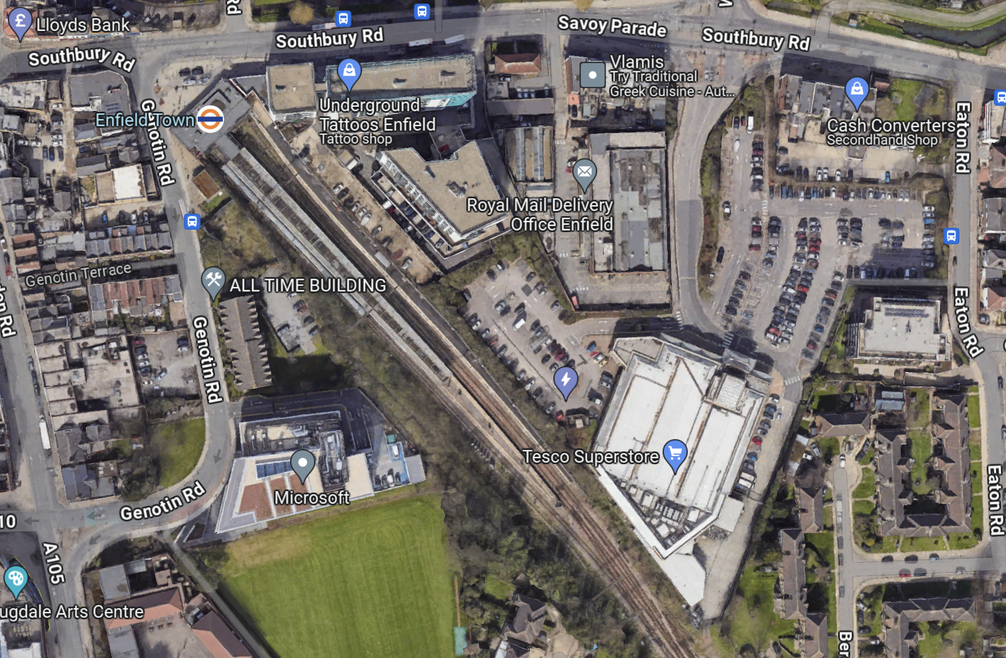
Note.
- The station has three platforms.
- The Enfield Arms pub was at the North end of Genotin Road.
- There is a Tesco Superstore on the other side of the railway.
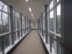
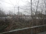
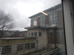
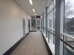
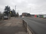
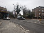
I took these pictures of the station.


It looks like there is building being carried out on the Royal Mail site.
Improvements To Southbury Station
This post on IanVisits is entitled Enfield Council Outlines Possible Rail Station Upgrades.
By reading Enfield Council documents, Ian has found possible station improvements that might happen.
Ian says this about Southbury station.
A mixed-use redevelopment of the Morrisons and Tesco supermarkets on either side of the station which could add about 820 new homes would also be expected to contribute to improvements at the railway station.
The redevelopment of the Crown Road lorry park would be expected to improve cycle and pedestrian routes to the station.
This Google Map shows the station.
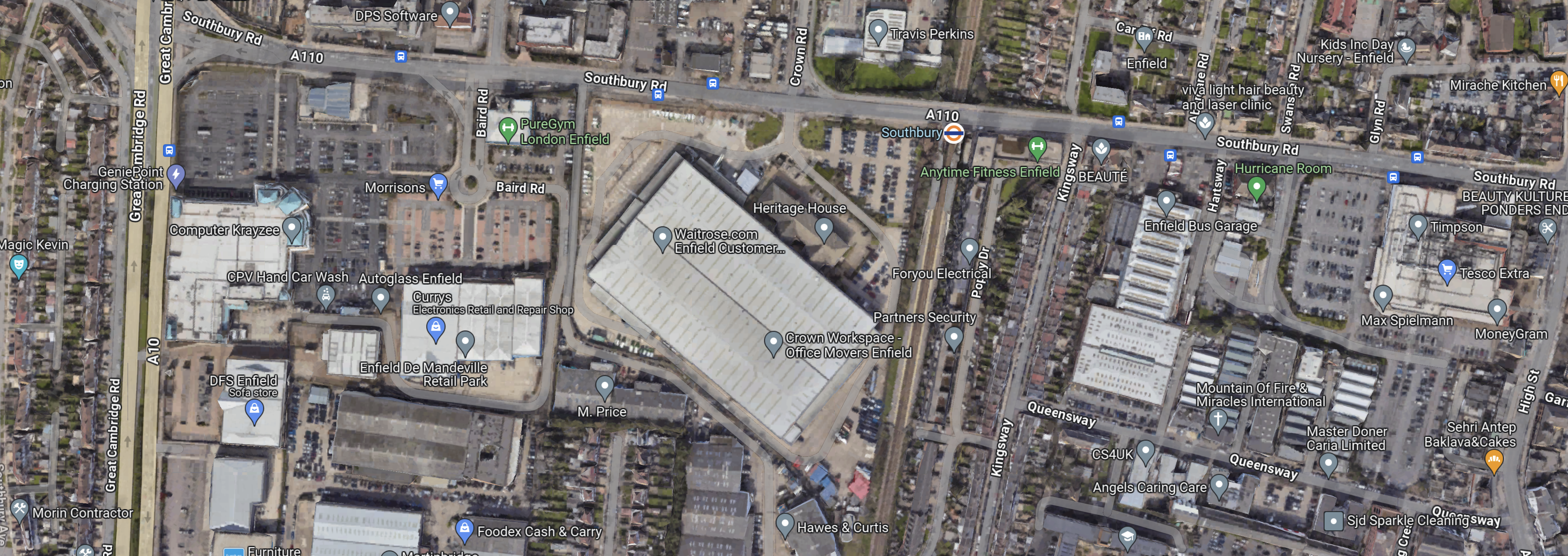
Note.
- The London Overground orange roundel indicates the station.
- The station is on Southbury Road, which runs East-West across the map.
- At the Western edge of the map, the dual-carriageway is the A10.
- Morrisons is to the South-East of the junction.
- Tesco is at the Eastern edge of the map.
This Google Map shows the Morrison’s site.
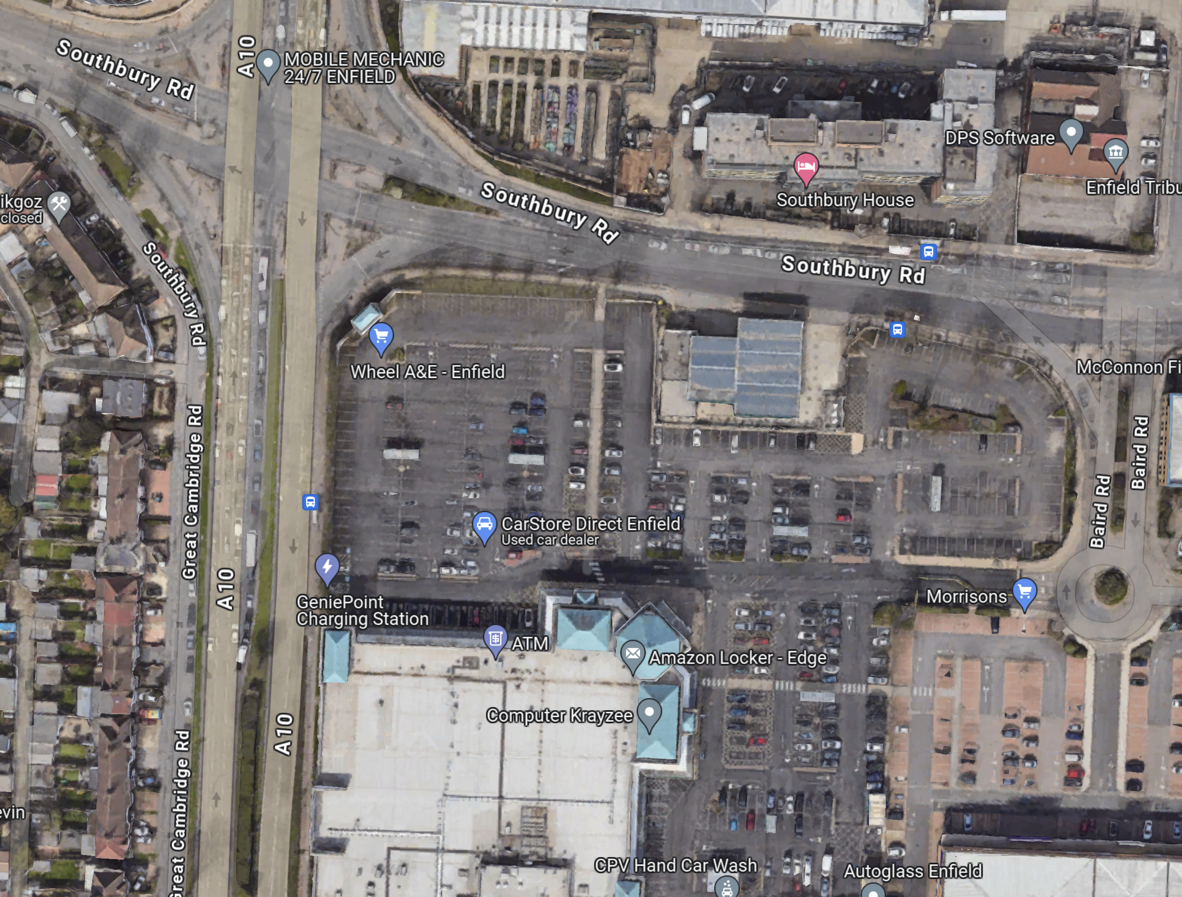
Today, there is an article in The Times, which is entitled Morrisons To Sell Petrol Forecourts.
Perhaps, Morrisons have told Enfield Council, that they wouldn’t be against a mixed development.
This Google Map shows the Tesco site.
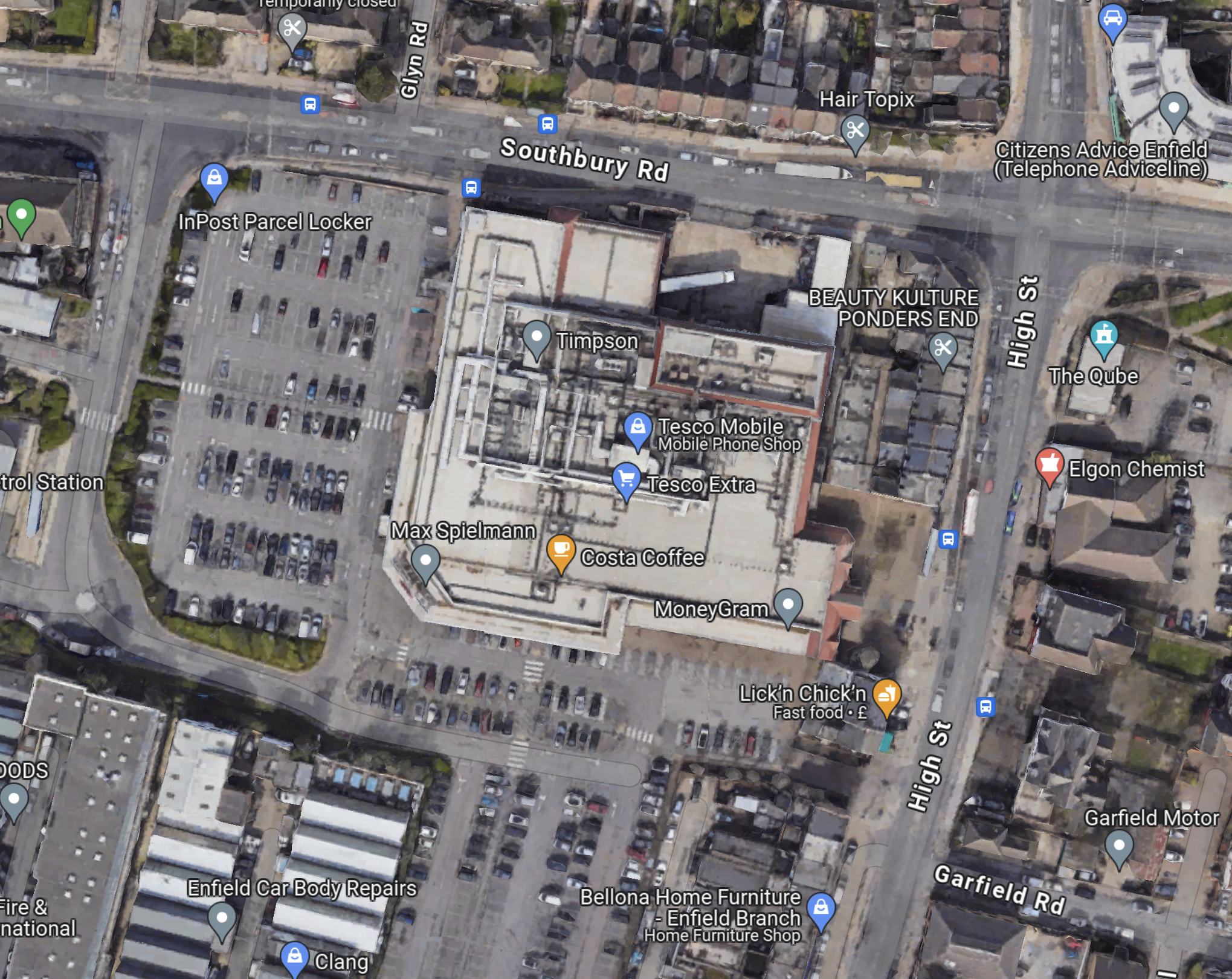
The two sites, if they were rebuilt with flats on top of new supermarkets could yield a lot of new housing.
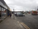
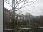
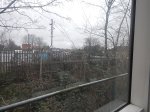
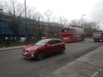
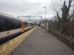
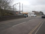
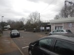
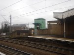
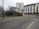
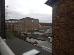
I took these pictures of the station.
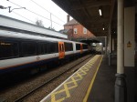


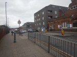
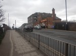

Note.
- The station has an attractive building.
- The station sits on a bridge over the railway.
- The station needs lifts, a light-controlled crossing across the busy road and a professional makeover.
- The two supermarkets are about 500 metres from the station.
- The bus stops are badly-placed for the station entrance.
- The art-deco building is the former Ripaults factory and is Grade II Listed.
But by spending a bit of money, it could be a much better station.
Improvements To Turkey Street Station
This post on IanVisits is entitled Enfield Council Outlines Possible Rail Station Upgrades.
By reading Enfield Council documents, Ian has found possible station improvements that might happen.
Ian says this about Turkey Street station.
Redevelopment of the Exeter Road estate could contribute to public realm improvements to Turkey Street station.
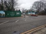
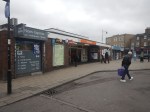
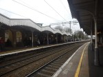
I took these pictures of the station.

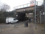

Note.
- The station has improved since I visited in 2014 and wrote Before Overground – Turkey Street.
- The station is rather a windy place and could do with some better shelters.
- It could also do with some lifts.
Let’s hope the station improves by a similar amount by the next time I visit.
Improvements To Edmonton Green Station
This post on IanVisits is entitled Enfield Council Outlines Possible Rail Station Upgrades.
By reading Enfield Council documents, Ian has found possible station improvements that might happen.
Ian says this about Edmonton Green station.
A proposed redevelopment of the shopping centre could add upwards of 1,000 new homes in time, and fund improvements to both the railway station and the bus station.
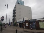
I took these pictures of the station.


Note.
- The station has lifts to both platforms.
- The station has some excellent period features.
- I have indicated a couple of possible development sites.
- The station does not appear to be listed.
A good architect and some good craftsmen could improve this station substantially.
