Green Scars Across East London
When the Lea Valley Lines were built across East London in the 1800s, they didn’t seem to box them in with houses, like they did elsewhere in the capital.
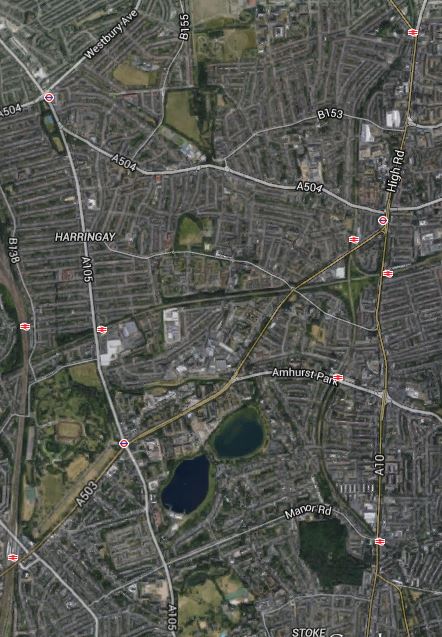
This Google Earth image shows several stations between Bruce Grove in the North, Harringay Green Lanes in the West and Stoke Newington in the South.
Green Scars Across East London
Note the green scars between the stations, where the lines often take up quite a small part of the available land. Look at this Google Earth image of the area between Seven Sisters station and South Tottenham station.

Seven Sisters
Surely, the development possibilities for this space, when linked to a new station are endless, even if you just develop a park.
No comments yet.

Leave a comment