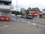
Before Crossrail 2 – Tottenham Hale
In the near five years since, I moved back to London, Tottenham Hale station has changed for the better, with the addition of a lift to the Victoria Line platforms and the reorganisation of buses, taxis and other traffic around the station.


But over the next few years, we should be seeing a lot more changes as this Future section in the Wikipedia entry for the station. The significant section is about Crossrail 2.
In February 2013, the Crossrail task force of business group London First, chaired by former Secretary of State for Transport Andrew Adonis, published its recommendations on Crossrail 2, favouring a route almost identical to the regional option proposed by TfL in 2011. The report was endorsed by Network Rail.
This proposal will see four tracks restored through Tottenham Hale and direct links to South-West London.
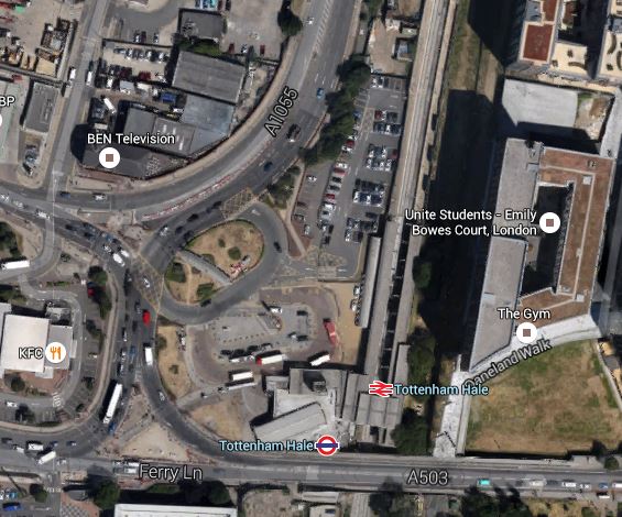
This Google Map shows the station and the surrounding area.
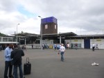
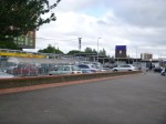
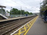
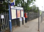
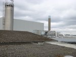
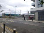
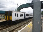
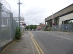
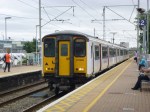
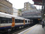
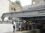
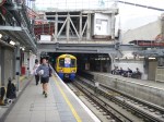
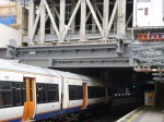
Tottenham Hale Station
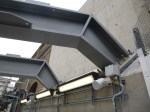
This image appears to have been taken before the new Tottenham Hale Bus Station was created and the traffic system was changed.
With all the development going on, putting four tracks through the station will need a very narrow track and platform layout.
On this page of the Haringey web site are more details and an artist’s impression of the proposed station. This picture is shown in an article in the Tottenham Journal.

Proposed Tottenham Hale Station
I would suspect that a wide bridge would extend eastwards from this building over the tracks with lifts and escalators to the platforms. Looking at this image, it does strike me that the the architect has taken some of Charles Holden‘s stations as their inspiration.
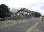
Before Crossrail 2 – Angel Road
Angel Road station is one for which there are big plans.
However, it will be on Crossrail 2 and will be one of the main features of the development at Meridian Water, which may give the station a new name.
This Google Map shows the station and the surrounding area as I walked to the Tesco superstore to get a bus to Tottenham Hale.

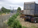
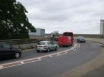
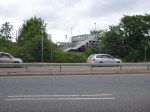
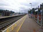
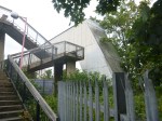
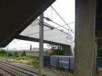
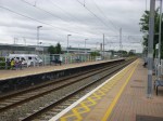
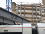
Angel Road Station
It is not the most beautiful of stations and the walking route is pretty dreadful.
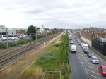
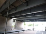
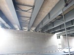
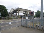
After I arrived, I walked Northwards along the line and then climbed up onto the flyover on a set of rusty steps, before walking alongside the road and under the North Circular Road, taking these pictures as I walked.


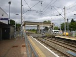
Angel Road must surely, be one of the most inaccessible stations for the able-bodied not just in London, but the whole of Europe. No wonder it is the second least-used station in London. I shall have to visit Sudbury and Harrow Road station, which sees fewer passengers. The station is also so lacking in facilities, that there isn’t even a convenient place to drop or pick-up a passenger with a vehicle.
The one good thing about this truly dreadful station is that there is more than adequate space to put the two extra tracks for stopping trains and Crossrail 2 between the current West Anglia Main Line and the busy Meridian Way.
Short term plans for this station include an hourly service pattern. So when there is limited development at the station, which must include decent pedestrian access direct across Meridian Way from IKEA and Tesco with perhaps a footbridge with lifts, the prognosis for passenger numbers at the station can only be upwards.
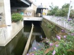
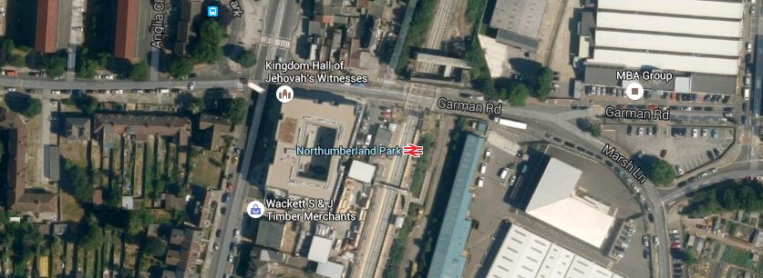
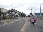
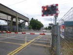
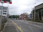
Before Crossrail 2 – Northumberland Park
Northumberland Park station is another one with a level crossing, as this Google Map of the station and the area shows.
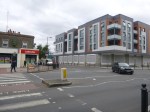
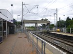
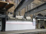
Northumberland Park Station
I went to the station on a 476 bus and took these pictures.


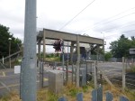


You get the impression, that despite the problems caused by the level crossing, no-one has ever had a decent holistic plan for this station.
Whitechapel Station – 20th July 2015
I hadn’t intended to go to Whitechapel station, but I did this morning and got a very pleasant surprise.
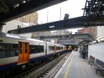
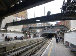
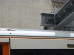
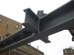
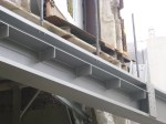
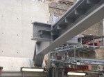
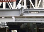
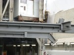
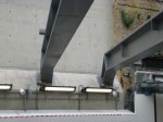
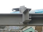
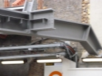
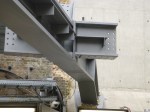
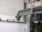
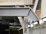
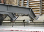
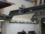
As the picture gallery shows, what I thought were bearing plates undoubtedly are!
