From Walthamstow To Hackney
The space in the East of London up the Lea Valley between Walthamstow and Hackney is all grass, scrub, reservoirs, canals, rivers and railways.
These pictures were taken on a train between Walthamstow James Street and Clapton stations.
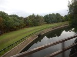


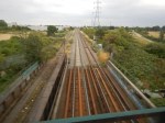

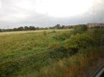


It is a very underused area and lies just to the south of the proposed Walthamstow Wetlands. The only development that will happen here is to reinstate the Hall Farm Curve to enable trains from Walthamstow and Chingford to join the Lea Valley Line to Lea Bridge and Stratford. It will probably end up though, ringed by high-rise housing, like you can see along the River Lea.
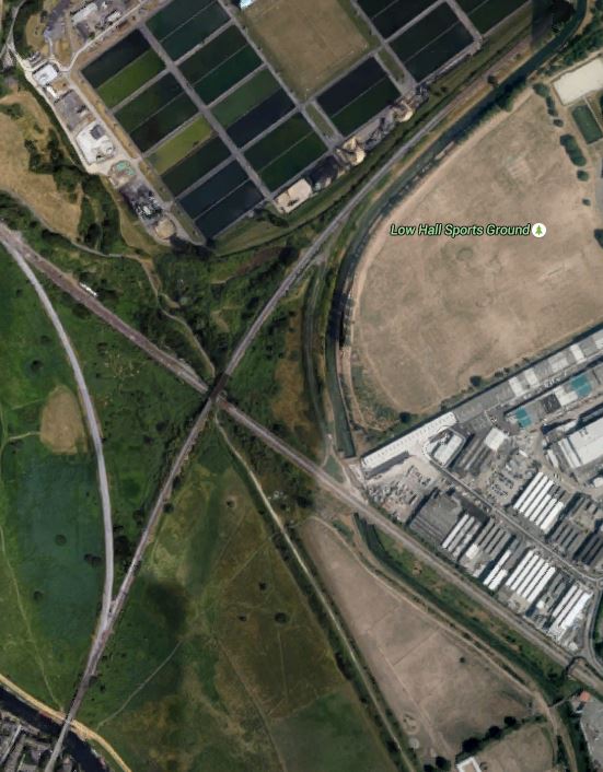
London is a surprising city. Soon it will be a City with a world-class nature reserve just a few minutes from the business heart of the City, This is a Google Map of the area.
Walthamstow To Hackney
Note the two rail lines crossing in the middle. The route of the Hall Farm Curve can be made out, as it hugs the boundary of the unmanaged area.
At the top of the picture you can see the filter beds of Thames Water’s giant water factory, that provide a lot of London with water using the massive reservoirs of the Lea Valley, some of which will form part of the Walthamstow Wetlands.
If you take a train from Liverpool Street to Stansted Airport or Cambridge, you’ll come over the River Lea and then take the curve to join the main line before passing through the Walthamstow Wetlands and stopping at Tottenham Hale.
No comments yet.

Leave a comment