NG2 On The Nottingham Express Transit
I took these pictures at the NG2 tram stop.


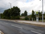

It’s just a pretty normal tram stop by Nottingham’s standard, but the reason I stopped off here to take pictures, was that it is close to the triangular junction to the west of Nottingham station, where trains for Nottingham turn off the main Midland Main Line to access the station. This Google Map shows the area.
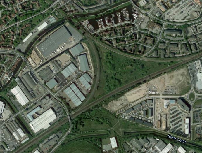
NG2 Nottingham
The NG2 tram stop is just South of the place where the road crosses the railway at the Western point of the junction, which goes in the direction of Beeston and the South. The line to the East leads to Nottingham station, and that to the North leads to Chesterfield, Sheffield and the North, as well as the Robin Hood Line.
The tram route curves away to the West to go to the Queen’s Medical Centre and Nottingham University.
In some ways it illustrates how Nottingham’s railways and the new trams weave a pattern around the city, with very large numbers of possible routes.
As tram-trains are now on the menu and tram-trains were first employed in Nottingham’s twin city of Karlsruhe, I doubt that anybody can predict the next line to be developed in Nottingham.
The only certain thing, is that in my two trips to the city recently, is that the people of Nottingham are proud of their trams and are using the system in large numbers.
As I said in Conclusions On Phase 2 Of The Nottingham Express Transit, the system may suffer from London Overground syndrome, of being built without enough capacity and new trams, tram-trains or extensions will soon be in the pipeline.
No comments yet.

Leave a comment