Plans For North Kensington Crossrail Station Back On Track
The title of this post is the same as that of this article on London News Online.
The first two paragraphs say it all.
Proposals for north Kensington to get its own station on the long-delayed Crossrail project have been put back on track.
Kensington and Chelsea council has confirmed it is in talks with Network Rail on producing a feasibility study that could lead to the “Kensal Portobello Station” being built.
According to Wikipedia, if this station is built it will be called Ladbroke Grove station. Wikipedia says this about its location.
In March 2017, it was announced TfL was considering a Crossrail station in Kensal on site of a former gasworks and would be between Old Oak Common and Paddington.
The article says this about the precise location and plans for the area.
Canal Way, near the Kensington Gas Works and a Sainsbury’s superstore, is being eyed up as a location for the station.
Meanwhile, the council’s 2019 Local Plan refers to the area as the ‘Kensal Canalside Opportunity Area’, and says 3,500 homes could eventually be built there.
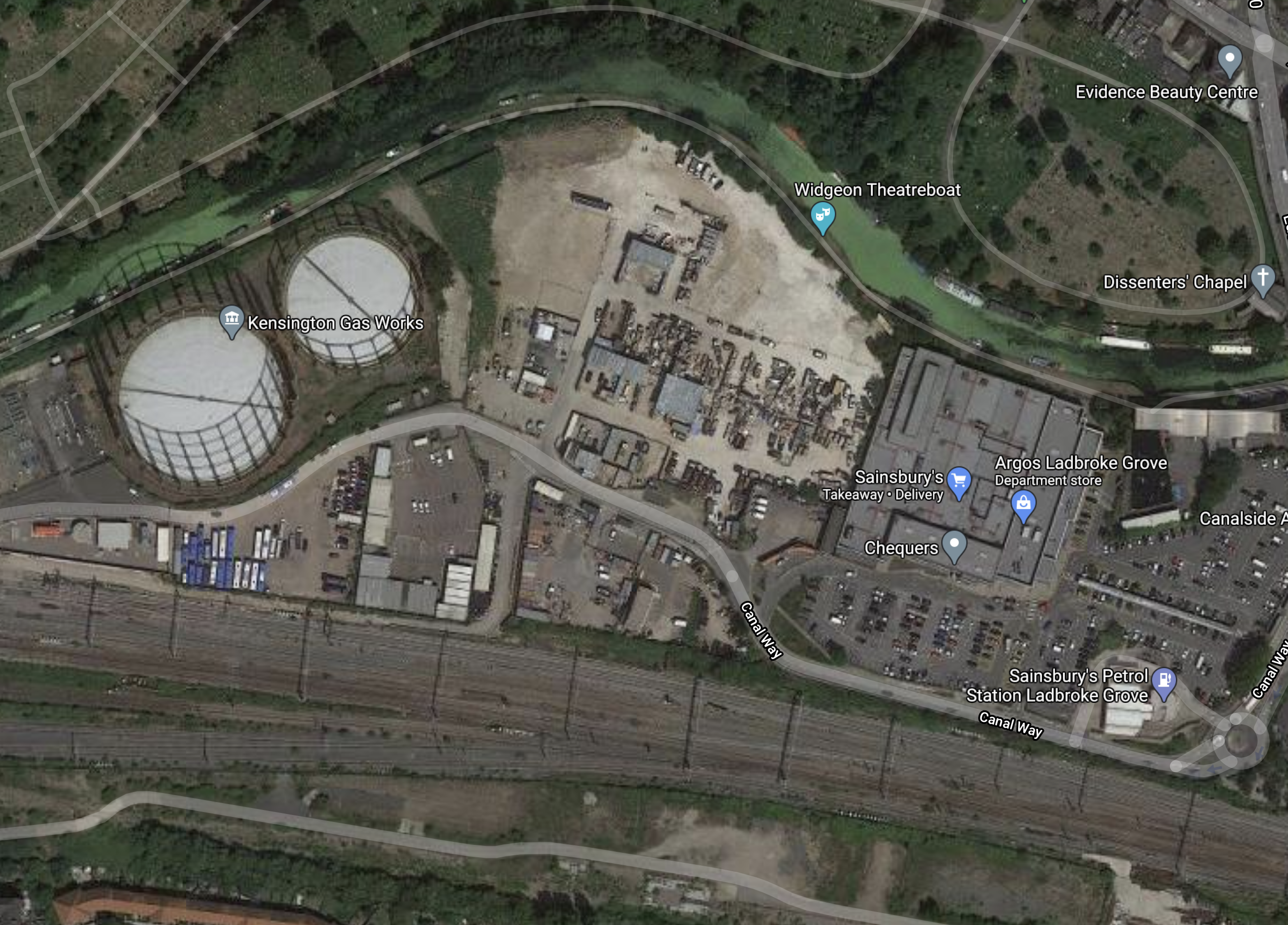
This is a Google Map of the area.
Note.
- The Grand Union Canal curving East-West in the top half of the map.
- There looks to be a substantial amount of green algae in the canal.
- The Great Western Main Line passing East-West in the bottom half of the map.
- Kensington Gas Works, a cleared site and a Sainsbury’s superstore, lie between the canal and the railway.
- Canal Way threads itself through to the North of the railway.
Crossrail uses the Northern pair of tracks closest to Canal Way.
Access To The Kensal Canalside Opportunity Area
Consider.
- Canal Way doesn’t appear to have easy access at the Western end of the site.
- Canal Way connects at the Eastern end to a roundabout on Ladbroke Grove.
- How many vehicle journeys are 3,500 homes going to generate?
- I have walked along the towpath of the Grand Union Canal.
I would feel that a Crossrail station to serve the development would improve access by a substantial amount.
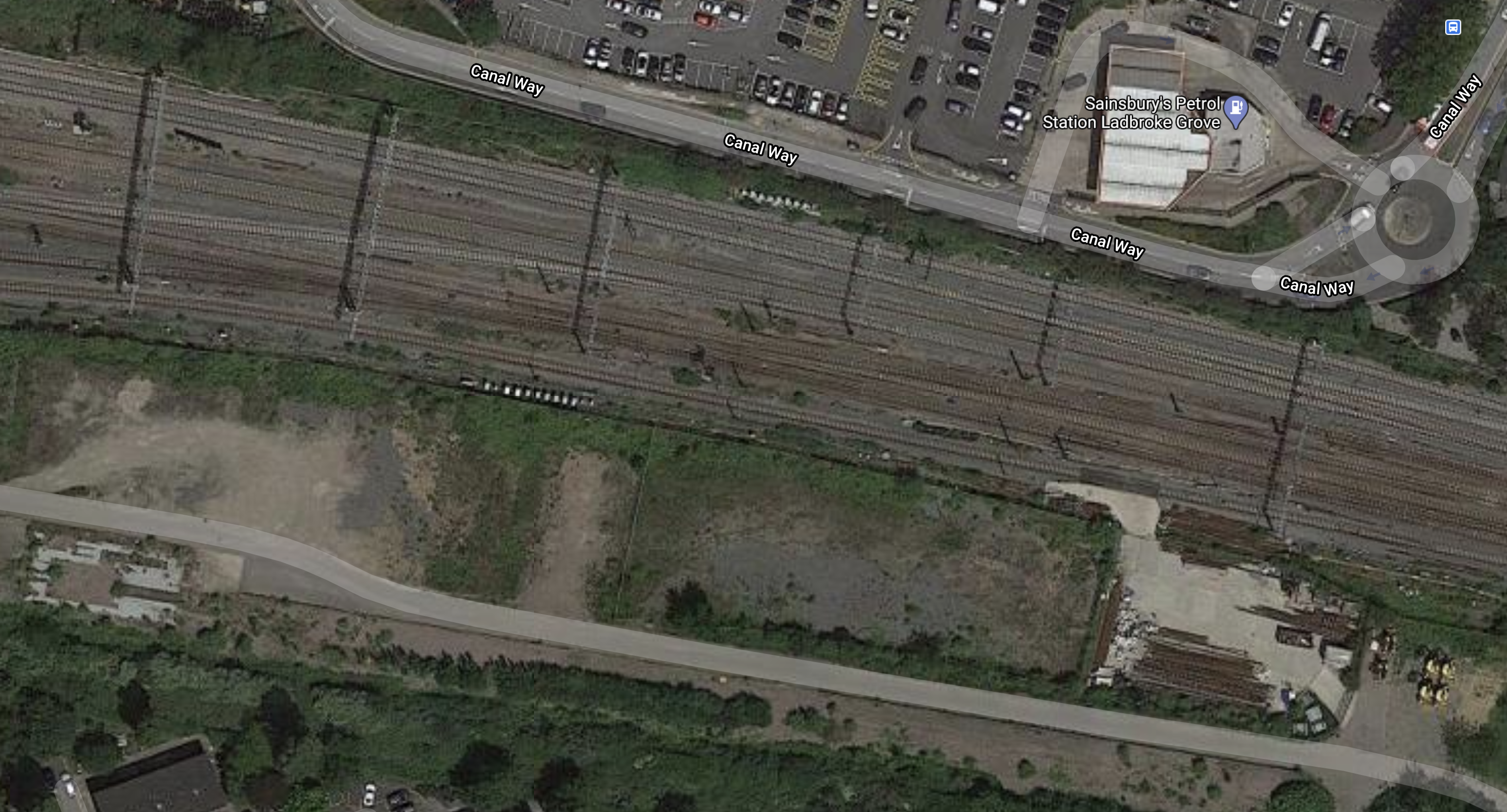
This Google Map shows Canal Way and the railway.
Note.
- The Southern part of Sainsbury’s car park is at the top of the map.
- It would appear that there is space for a station.
- There appears to be a development site on the other side of the railway. Would a foot-bridge over the railway be a good idea?
The station would probably be served by between six and ten trains per hour.
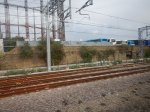
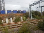
Exploring The North Side Of The Railway
These pictures were taken on the North Side of the Railway, as I walked up Ladbroke Grove and into the Sainsbury’s site.
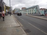
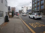
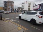
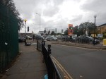
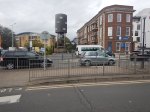
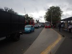
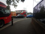
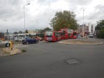
Is the traffic congestion always this bad?
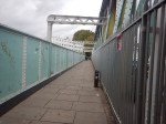
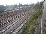
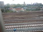
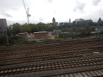
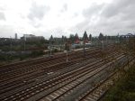
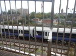
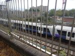
Ladbroke Grove Station Site From The Railway
I took these pictures from a Crossrail train, running towards Paddington.

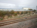
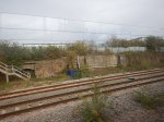
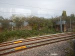
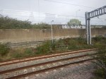
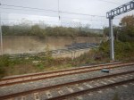
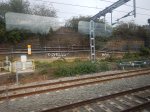
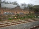

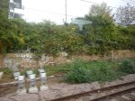
There would appear to be space for a station.
Conclusion
Because of the number of homes proposed for the site and the limited access, I feel that a station at this location is essential. Especially, as cars and buses seemed to be taking fifteen minutes to enter and exit the site.
I also think, there needs to be a pedestrian bridge over the railway to separate the pedestrians from the traffic.
