Tregoss Passing Loop On The Atlantic Coast Line
To increase the frequency of trains on the Atlantic Coast Line between Par and Newquay stations, from two-hourly to hourly, Network Rail are proposing to add a passing loop at Tregoss Moor.
This OpenRailwayMap shows the railway as it runs across the moor.
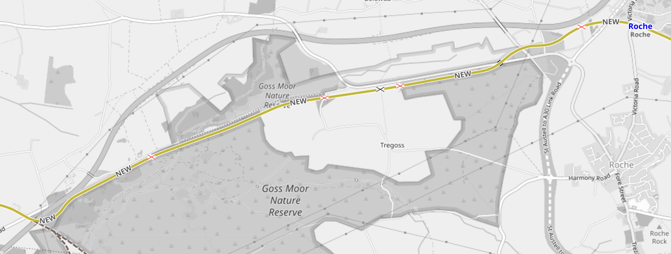
Note.
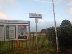
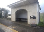
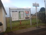
- Roche station in the North-East corner of the map.
- The red and blue crosses indicating level crossings on the route.
- The map seems to indicate a number of power cables.
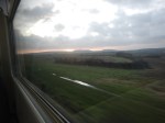
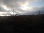
I took these pictures from the train, as I came down to Par station.
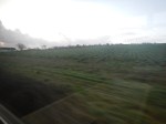
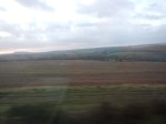
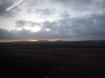
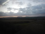
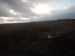
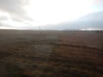
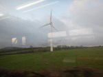
Note.
- I was sitting on the right-hand-side of the train, looking West.
- In addition to the cables, there are about half a dozen wind turbines.
- Roche station is typical of the intermediate stations on the line – Small, functional and tidy, with a few car parking spaces.
On past form, I suspect that Network Rail could squeeze in a passing loop, that wouldn’t stir up too many antis.
I have one thought,
The St. Austell Link Road
This Google Map shows where the A30 to St. Austell Link Road is being built.
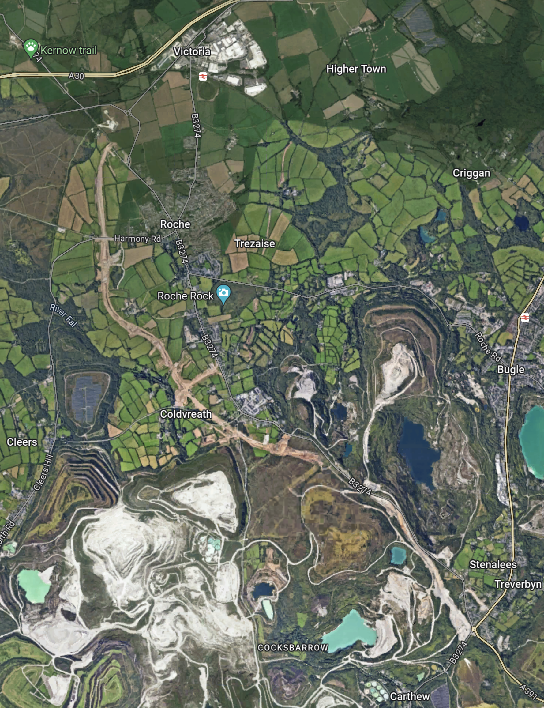
Note.
- The station at the top of the map by the area called Victoria and to the West of Higher Town is Roche station.
- The station at the right edge of the map about halfway down is Bugle station.
- The South of the map is covered by white china clay workings.
- Running diagonally across the map is the A30 to St. Austell Link Road.
This page on the Cornwall web site, says this about the road.
The St Austell to A30 link road will connect the old A30 near Victoria to the north and the A391 at Stenalees roundabout to the south. It will be a new 3.9 mile single carriageway road. It is a vital link to bring opportunities to the area.
This Google Map shows the area, where the Link Road will connect to the A30.
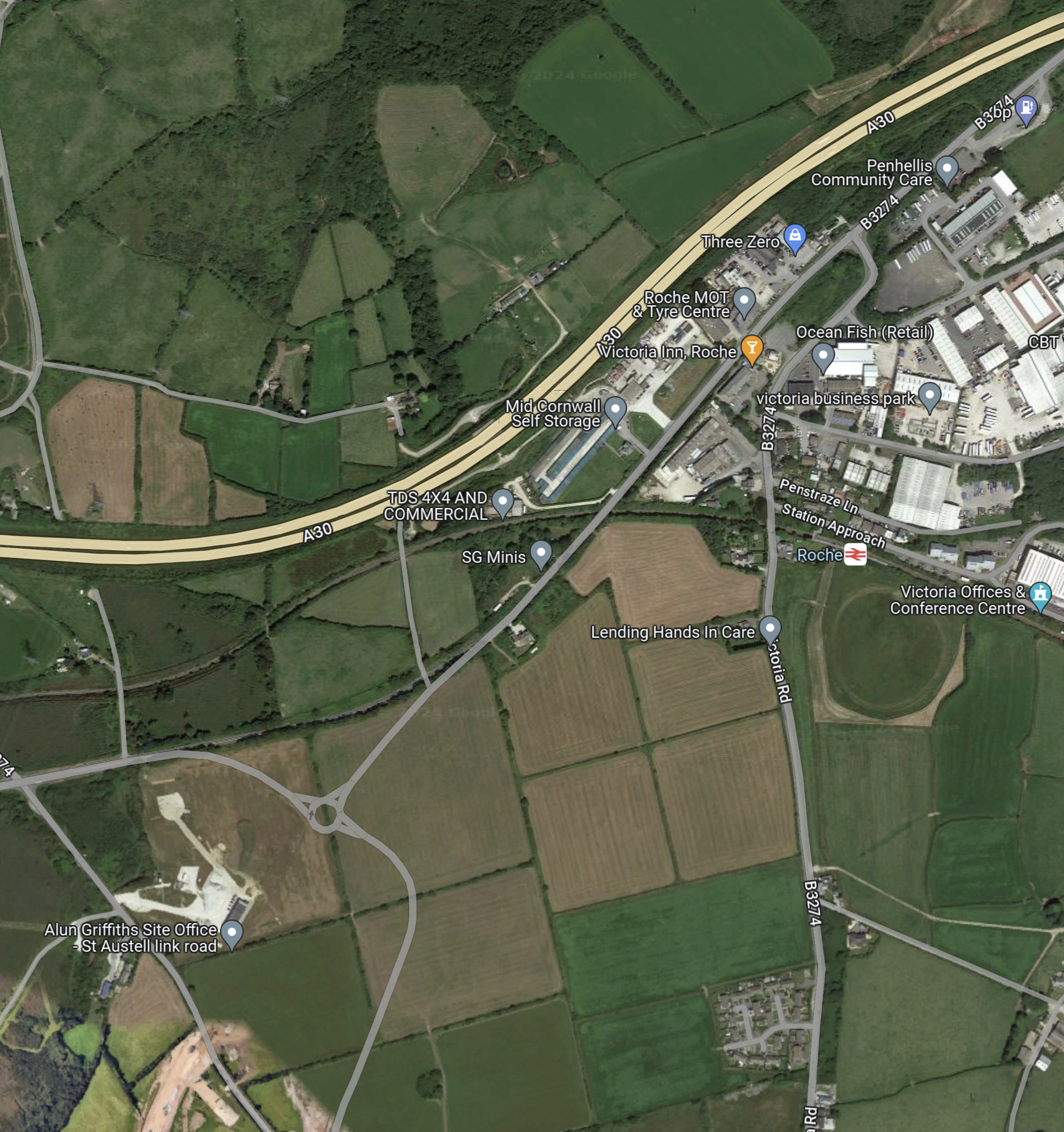
Note.
- The A30 running across the top of the map.
- The Victoria area and Roche station in the North-East corner of the map.
- In the South-West corner of the map their is the site office of the Link Road.
- The current end of the construction scar of the Link Road can be seen at the edge of the map.
- I would assume that the new road joins the roundabout to the North-East of the Construction Office.
- Traffic could be routes North-East from here along the B3274 to join the A30 at Cornwall Services.
- The railway sneaks between the A30 and the construction site.
I hope there’s been a bit of joined up thinking here and the road and the railway have been given the best joint design possible.
