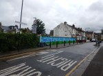
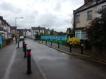
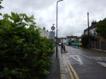
The Bridges Of Walthamstow
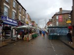
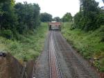
I have been meaning for some time to walk the route of the Gospel Oak to Barking Line (GOBlin) between Walthamstow Central station in Selborne Road to Blackhorse Road station.
But now the line is closed for electrification work, I thought it would be an appropriate time to do it, taking photographs as I walked.


To cross all the bridges, I was constantly doubling back on myself, using a route of.
- West on Selborne Road.
- Right onto Vernon Road
- Left onto Walthamstow High Street
- Right onto Palmerston Road
- Left onto Northcote Road
- Right onto Pretoria Avenue
- Right onto Warner Road and back to Northcote Road
- Left onto Palmerston Road
- Left onto Walpole Road, Suffolk Park Road and The Links
- Right onto Pretoria Road
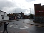
- Left onto Forest Road
After a short detour to look at the bridge on Blackhorse Road, I arrived at the station, where I took a bus alongside of the GOBlin to Tottenham Hale station.
This Google Map shows Walthamstow Central and Blackhorse Road stations, and the portion of the GOBlin in the area.
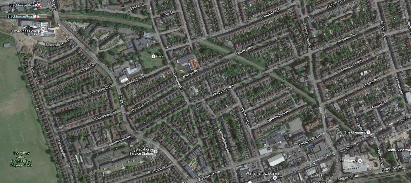
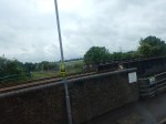
The Bridges Of Walthamstow
Note in both the photographs and the map.
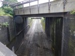
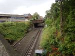
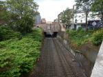
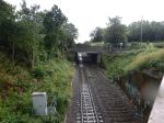
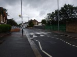
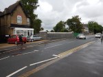
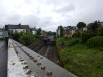
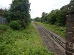
- There are eleven bridges including those at Blackhorse Road and Selborne Road.
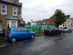
- Most seem to be in good condition, with Palmerston Road having been recently replaced and others looking as if they have been thoroughly refurbished.
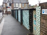
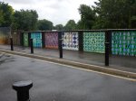
- Only Suffolk Park Road and Stoneydown Avenue Bridges have restrictions on access.
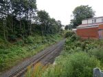
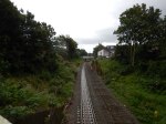
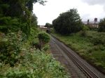
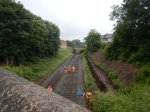
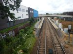
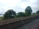
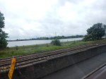
- It would appear that the track going towards Blackhorse Road has been lifted and laying of new track has started at that end.
- There does appear to be some new sheet piling to stabilise the cutting.
- There is ample space on both sides of this section of the line to erect the masts and gantries for the overhead wires.
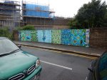
- I wonder what William Morris would think of the bridge designs.
- I can’t find any information on whether more work needs to be done on the bridge at Suffolk Park Road, except a mention of new public art from 2015.
So in this section at least, it doesn’t appear that there’ll be much problem putting up the overhead wires for the electrification.
Alongside The GOBlin – June 14th 2016
I took these pictures of the Gospel Oak to Barking Line from the top of a 123 bus going between Blackhorse Road and Tottenham Hale stations.
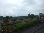

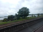
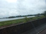
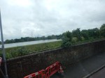
This bus ride will be an easy way to ascertain progress on the electrification.
Nothing much seems to be happening yet!
Will Shoreditch High Street Be Connected To The Central Line?
Every Londoner has their own personal pet hates about the Underground.
One of mine is the lack of an interchange between the East London Line and the Central line at Shoreditch High Street station. The Central line passes under the East London Line and some web sites say that provision was left in the new station for the connection.
This map from carto.metro.free.fr shows the lines around Shoreditch High Street station.
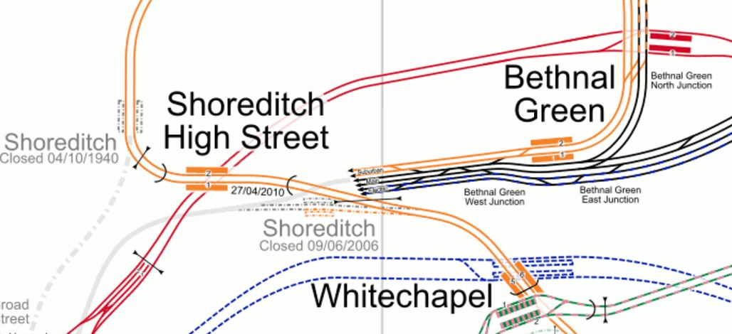
Shoreditch High Street Station
Note how the Central Line platforms at Liverpool Street are in the South West corner of the map.
Some sites also say that the reason for not building the connection, is that the Central line is too crowded and a decision will not be taken until after Crosrail opens. This is the comment on an article about the connection in London Connections.
Don’t expect an interchange with the Central Line until Crossrail 1 is fully operational. The Central Line in its present, heavily overcrowded, state could not possible cope with even more stations.
Perhaps in about 10 years…
It does sound sensible.
Getting West on the Central Line can be difficult from where I live.
I can take a bus to either Bank or St. Paul’s stations, but coming back is a problem, as the bus stops aren’t well placed.
After Crossrail opens, I might take the same bus to Moorgate for the new line or I could get to Crossrail using the East London Line connection at Whitechapel.
It shows how Crossrail is going to add masses of possible new routes to everybody’s travel in London.
Crossrail links with the Central line at Stratford with a cross-platform interchange and more conventionally at Liverpool Street, Tottenham Court Road, Bond Street and Ealing Broadway.
As the East London Line links to Crossrail at Whitechapel, will passengers going from say Anerley to Epping, be happy with a double change at Whitechapel and Stratford? Especially, as the second one would be just a walk across the platform.
I think they will.
But obviously Transport for London will have all the traffic statistics and would know when creating the Interchange at Shoreditch High Street will be worthwhile.
But looking at the map of the lines at Shoreditch High Street station, leads me to wonder if it would be possible to put in an escalator connection to the Eastern end of the Central Line platforms at Liverpool Street station. This map from carto.metro.free.fr shows the Central Line through both stations in detail.

Liverpool Street And Shoreditch High Street Stations
As all of the office blocks on both sides of Bishopsgate, were planned and designed before Crossrail and the London Overground, I do wonder that if they were being designed now, they would build a travelator connection between Shoreditch High Street and Liverpool Street stations, which incorporated another set of escalators to the Central Line.
