An Avenue Of Trees, Cheered Me Up Today
I was feeling a bit down, after the loss of my phone on a train yesterday, as I cam back from Cambridge South station.
After reporting its loss at Liverpool Street station this morning, I thought I might be able to get something I needed at Sainsbury’s in Walthamstow.
To get from Walthamstow Central station to Sainsbury’s I walked along this avenue of trees.
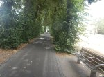

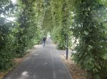
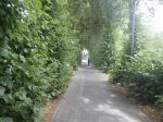
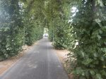


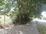
Note.
- It was lovely and cool on a hot day.
- There was a gentle breeze through the trees.
- Halfway along, I chatted to a guy with Indian heritage. He said he liked the trees at Chistmas, when the Council put lights on them.Now surely, that is multiculturalism.
I asked Google AI about the trees and got this reply.
The avenue of mature trees leading from Walthamstow Central Station towards the High Street consists of lime trees. Also locally referred to as Lime Tree Walk, these established trees are well known for soaking up pollution from the adjoining bus and transit areas.
Google AI estimates that the trees are at least a hundred years old.
I believe we should do things like this more often, as it is surely a scientifically-correct way to deal with the pollution of only a few vehicles emitting it.
Out of curiosity, I asked Google AI,”Are we doing research to increase the effectiveness of trees clearing pollution?” and received this reply.
Yes, there is extensive, ongoing scientific research dedicated to increasing the effectiveness of trees at clearing pollution. Studies focus on optimizing urban canopy cover, vegetative barrier design, and microbiome/soil enhancements to maximize both particulate matter (PM) capture and carbon sequestration.
Current research initiatives and findings include:
Vegetative Barriers & Species Traits: Research from the University of Surrey’s Global Centre for Clean Air Research (GCARE) has developed a plant selection framework. By evaluating traits like leaf hairs, canopy density, and seasonal leaf retention, they identify highly effective species (such as silver birch, elder, and yew) to act as physical green barriers that trap particulate matter and filter exhaust.
Tree Spacing & Dispersion: Studies on urban street canyons show that sparse or dense tree spacing can sometimes trap pollutants if the canopy blocks wind flow. However, “medium spacing” (where the gap between trees is roughly equal to the crown diameter) has been proven to optimize both airflow and particle reduction for pedestrians and cyclists.
Soil & Growth Interventions: Studies like the Glandwr Forest Carbon Study by Imperial College London and The Carbon Community are testing methods to boost young tree growth and carbon sequestration using enhanced rock weathering and microbial enrichment.
Cooling & Air Purification Pathways: Recent findings published in Landscape and Urban Planning highlight that trees reduce particulate pollution (PM10) not just by trapping it on leaves, but also through localized cooling. By mitigating extreme heat, trees promote the natural deposition of suspended particles.
It seems that the good citizens of Walthamstow and the nearby forest, probably achieved a result, that was very much in line with modern research.
Does BYD Stand For Bet On Your Destination?
Today I came back from Walthamstow Sainsbury’s to my home in Hackney, using two BYD electric buses on route W15, a diesel bus on route 488 and a Reliable Routemaster on Route 38.
Both the BYD electric buses stopped short of their final destination.
I also changed early to the 38, so I could have a Diet-Coke in a cafe that looked friendly.
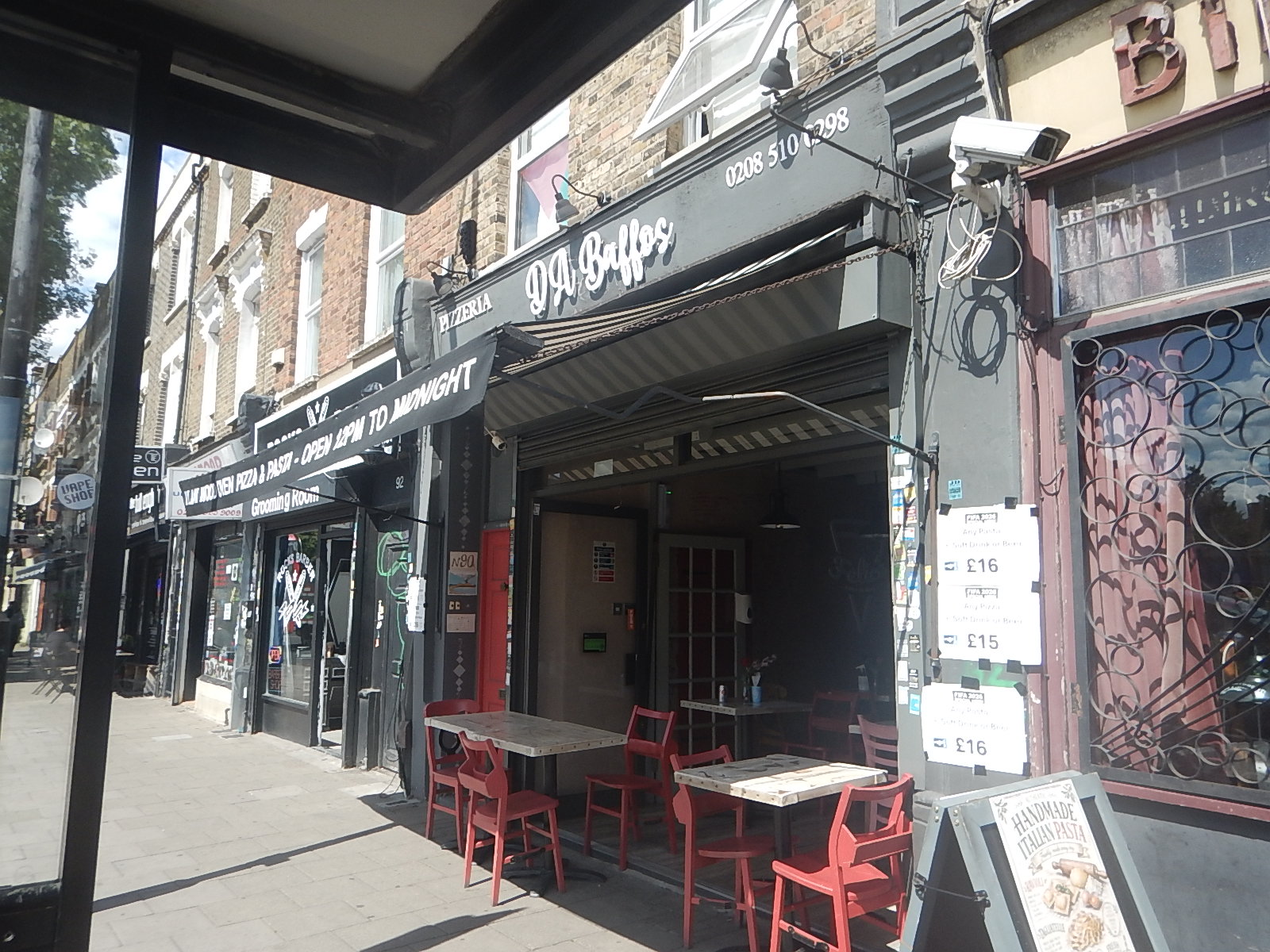
It was!
- As you can see, it was right by a bus stop, where luckily for me, 38 buses called.
- I have written a few posts about the horrid BYD electric buses on route 141, but London shouldn’t be made to suffer an inferior product.
- If Manchester and Leeds can have UK-built buses by Wrightbus, that are delivered as diesel and converted at an appropriate time to zero-carbon, why can’t London and the rest of the country?
London’s fleet of a thousand Routemasters, which were built by Wrightbus, a few years ago, seem to have found a new niche in the world of advertising and I wouldn’t be surprised to see an experimental fleet of zero-carbon Routemasters.
Here’s a few images of Routemaster paint schemes.
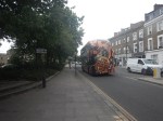
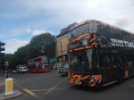
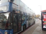

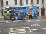
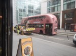
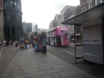
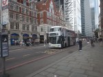
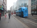
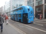
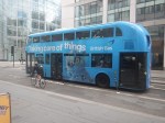



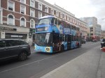
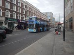
I like them. I wonder, if a bus has gone missing to have a special makeover, if England get to the latter stages of the World Cup?
Superloop – Will It Be The North Circular Road Most Of The Way Between Harrow And Royal Docks?
This draft map from TfL illustrates the concept of Superloop.
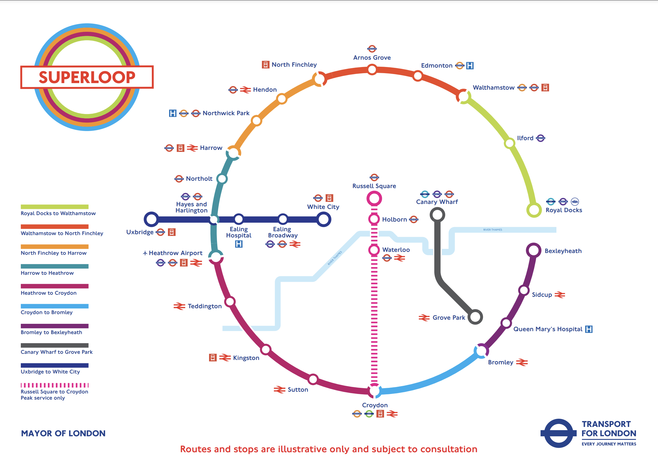
In this post I am considering the section of the the North Circular Road (A406) between the Hangar Lane Gyratory System, where it crosses the A40 in the West and the roundabout , where it crosses the A13 at Beckton in the East.
- This section is a grade-separated dual-carriageway all of the way between Hangar Lane and Beckton.
- Hendon, North Finchley, Arnos Grove, Edmonton, Walthamstow, Ilford and Royal Docks are not far from the A406.
- Several bus routes already run on the A406.
The large Brent Cross Shopping Centre is also just outside the A406 and a new Brent Cross West station will be opening soon.
I’ll now look at the three Northern and North-Eastern sections.
Harrow And North Finchley
This section is shown in orange.
- It calls at Northwick Park hospital and Hendon. both have rail connections.
- Brent Cross Shopping Centre could be on the route, if the A406 is used.
- London Bus 182 runs between Harrow bus station and Brent Cross Shopping Centre via Northwick Park hospital.
Could the 182 bus be extended to North Finchley, where there is a new bus station?
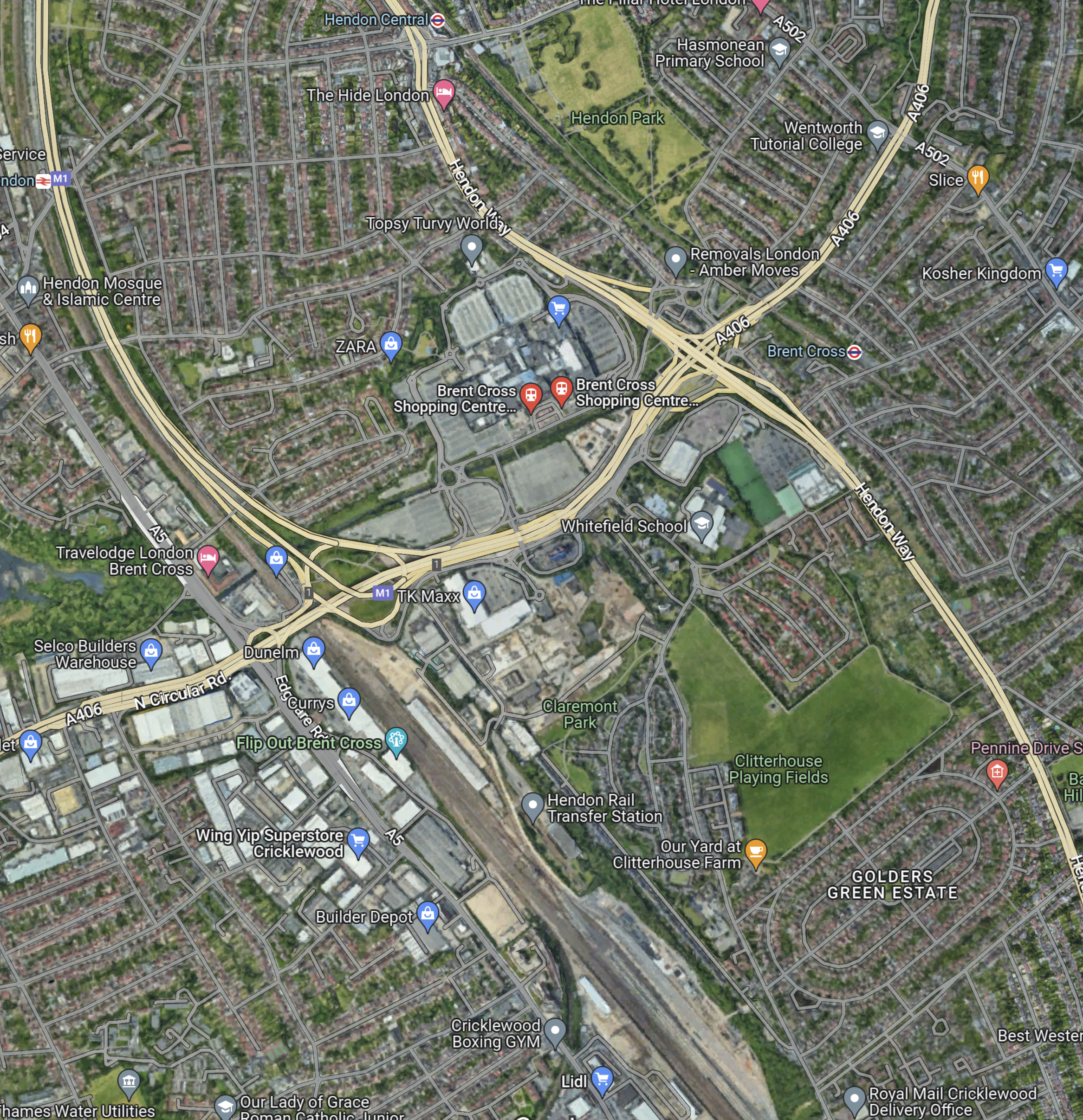
This Google Map shows the stations around the Brent Cross Shopping Centre.
Note.
- The railway running between the North-West corner of the map and the bottom of the map is the Midland Main Line.
- The road running between the North-East corner of the map and the left of the map is the North Circular Road.
- The road running down the right hand side of the railway is the M1, which joins the A406 in the large junction.
- The other major road to the right of the map, is the Hendon Way.
- The station in the North-West corner of the map is Hendon.
- The station being built in the bottom of the map on the Midland Main Line, is the new Brent Cross West station.
- The station in the North-East corner of the map is Brent Cross on the Northern Line.
I am certain that a Superloop bus could run from Harrow bus station and Northwick Park hospital, and visit the required number of the stations around the Shopping Centre, before trundling on to the new North Finchley bus station for some refreshment before returning to Harrow.
I feel that the Superloop bus could use the North Circular Road from the shopping centre and then turn North on to Finchley High Road (A 1000).
North Finchley And Walthamstow
This section is shown in red.
- It calls at Arnos Grove and Edmonton.
- London Bus 34 runs between Walthamstow bus station and Barnet. It runs for some of the way along the North Circular Road and passes Arnos Grove, Silver Street and the North Middlesex Hospital.
I am certain, that a Superloop bus could run between Walthamstow bus station and North Finchley, using a similar route to the 34.
Walthamstow And Royal Docks
This section is shown in lime.
- It calls at Ilford for the Elizabeth Line.
I am certain, that a Superloop bus could run between Walthamstow bus station and Royal Docks, using a the A406 and the A13.
Conclusion
After this simple analysis, it looks possible to use the use the North Circular Road between Harrow and Royal Docks.
A Trip On An Electric Double Deck Bus On Route 212 Between Chingford And St. James Street Stations
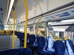
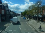
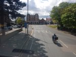
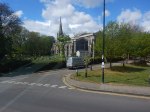
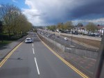
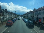
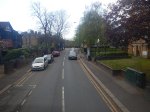
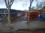
I took these pictures on the route between Chingford and St. James Street stations.





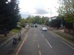
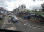
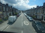

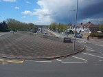



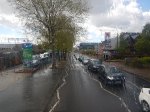


Note.
- The bus is an Alexander Dennis Enviro 400 EV, which is built on on BYD Auto‘s K10 chassis, powertrain and batteries.
- Wikipedia quotes a performance of 303 km service range from a 320kWh lithium iron phosphate battery and two 150 kW motors.
- This range would be comparable with a diesel bus, that typically does 200 miles per day.
- It certainly handled the route from Chingford well. But then it was very much downhill, so it got help from Newton’s friend.
- I rode on the top deck up the front and the ride was as I’d expect from a quality busin the UK.
As there wasn’t any sign of charging equipment at either end of the route, I suspect that the route is well-suited for the buses.
I know someone, who used to manage this route and they called it a basket case.
I can certainly understand that.
- The route is narrow in places with cars parked on both sides of the road. This must delay services.
- I was lucky with the level crossing at Highams Park station, but at busy times it could be a nightmare.
Will the new Class 710 trains on the parallel Chingford Branch Line improve matters, by attracting passengers away from their cars in the area and the buses?
There has also been talk of a new station at Chingford Hatch, which could also be served by the 212 bus.
Walthamstow’s Funereal Style Road Barriers
These pictures show how Walthamstow has blocked off roads in the Borough.


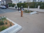


They do remind me very much of the sort of designs you see in the windows of undertakers.
Why Aren’t There More Street Signs Like This?
I took these pictures in Walthamstow Village.
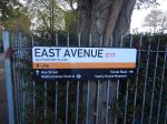
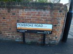
It is such a simple idea to put direction indicators on the street name signs.
But I’ve never seen it anywhere else before.
The Bridges Of Walthamstow
I have been meaning for some time to walk the route of the Gospel Oak to Barking Line (GOBlin) between Walthamstow Central station in Selborne Road to Blackhorse Road station.
But now the line is closed for electrification work, I thought it would be an appropriate time to do it, taking photographs as I walked.
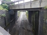
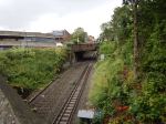

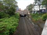
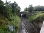
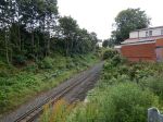
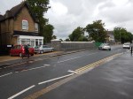


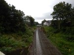


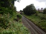


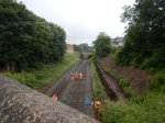


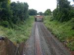
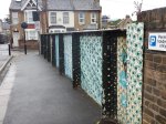
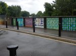


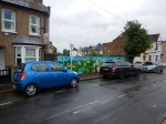

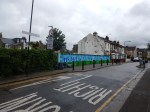
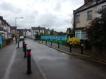
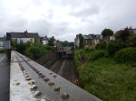



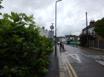
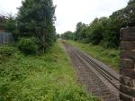


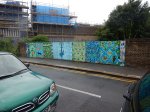

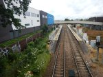
To cross all the bridges, I was constantly doubling back on myself, using a route of.
- West on Selborne Road.
- Right onto Vernon Road
- Left onto Walthamstow High Street
- Right onto Palmerston Road
- Left onto Northcote Road
- Right onto Pretoria Avenue
- Right onto Warner Road and back to Northcote Road
- Left onto Palmerston Road
- Left onto Walpole Road, Suffolk Park Road and The Links
- Right onto Pretoria Road
- Left onto Forest Road
After a short detour to look at the bridge on Blackhorse Road, I arrived at the station, where I took a bus alongside of the GOBlin to Tottenham Hale station.
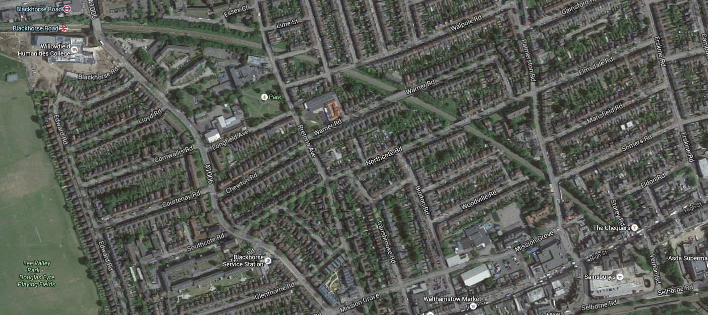
This Google Map shows Walthamstow Central and Blackhorse Road stations, and the portion of the GOBlin in the area.
The Bridges Of Walthamstow
Note in both the photographs and the map.
- There are eleven bridges including those at Blackhorse Road and Selborne Road.
- Most seem to be in good condition, with Palmerston Road having been recently replaced and others looking as if they have been thoroughly refurbished.
- Only Suffolk Park Road and Stoneydown Avenue Bridges have restrictions on access.
- It would appear that the track going towards Blackhorse Road has been lifted and laying of new track has started at that end.
- There does appear to be some new sheet piling to stabilise the cutting.
- There is ample space on both sides of this section of the line to erect the masts and gantries for the overhead wires.
- I wonder what William Morris would think of the bridge designs.
- I can’t find any information on whether more work needs to be done on the bridge at Suffolk Park Road, except a mention of new public art from 2015.
So in this section at least, it doesn’t appear that there’ll be much problem putting up the overhead wires for the electrification.
Rumours Of Curves In Walthamstow
Last night, Lea Bridge station opened without ceremony, as I wrote in The People Of London Welcome Lea Bridge Station.
I got talking to someone, who knows a lot more about what will be happening to the railways in East London, than I do and when I asked about the Hall Farm Curve, they indicated it could be reinstated soon.
This map from carto.metro.Free.fr shows the lines North from Lea Bridge station.

Lines North Of Lea Bridge Station
The Hall Farm Curve connects Lea Bridge and St. James Street stations.
My informant said the curve would probably be only single-track and signalled to allow trains to go both ways.
With my scheduling hat on, I do wonder if the curve would effectively connect spare capacity on the Northern end of the Chingford Branch to some spare capacity between Lea Bridge and Stratford stations. I think it is probably true to say, that North of Coppermill Junction, the West Anglia Main Line needs more capacity, so this sneaky way to Chingford doesn’t impact.
The limiting factor on the number of trains per hour between Chingford and Stratford would probably be platform capacity at the two ends of the route.
My informant also indicated that the Coppermill Curve could be rebuilt to allow trains to go between the West Anglia Main Line and the Chingford Branch Line.
This Google Map shows the area around Chingford station.
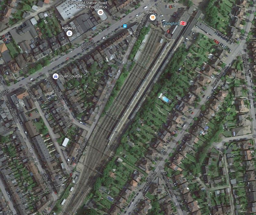
Chingford Station
Note the extensive sidings by the station.
My informant said the main purpose of reinstating a double-track Coppermill Curve, would be to move empty trains to and from Chingford, rather than new passenger services.
But with the design stage of Crossrail 2 well underway, I do wonder, if connecting Chingford station and the related sidings to the West Anglia Main Line, might give Crossrail 2 better options to build the line or provide alternative services, whilst the West Anglia Main Line is rebuilt through the area.
It strikes me that the cost of doing both curves together would be less than only building the Hall Farm Curve and then finding that construction of Crossrail 2 needs the Coppermill Curve.
Related Posts
Improving The Chingford Branch Line
Could Electrification Be Removed From The Chingford Branch Line?
Could Reversing Sidings Be Used On The Chingford Branch Line?
Could The Hall Farm Curve Be Built Without Electrification?
Crossrail 2 And The Chingford Branch Line
New Stations On The Chingford Branch Line
Will Walthamstow Central Station On The Victoria Line Be Expanded?
Walthamstow Doesn’t Like Going Dutch!
This article from the Waltham Forest Guardian is entitled Grand opening of mini Holland scheme dominated by angry protestors.
I have posted it, as we are getting the Cycle Superhighway through where I live in the northern part of D Beauvoir Town in the near future and there are various opposing groups wanting or not wanting road closures and different parking restrictions.
As a Control Engineer, who has quite a bit of experience of dealing with complex liquid flow systems in chemical plants, I think that Councils tend to take a too definitive approach to the problem.
So my experience of chemical plants was in the late 1960s and we used an amazing PACE 231R. But that machine was the state-of-the-art computer of its day for solving differential equations. The computer was also the unrecognised star of the amazing rescue of the astronauts on Apollo 13.
The aim of the modelling in the chemical plant was to get different chemical streams flowing at the right rate into various reaction vessels, where they could be safely reacted and handled. The reaction products would then flow off in a controlled manner in other directions.
On a chemical plant the flows are controlled by various measures, but typically by valves, of which a domestic example is your mains water stop cock.
Often after modelling the flow system, it was found that the various valves were set almost to a fixed position for normal running of the plant.
If you look at traffic flows in say Walthamstow Village, as in the article, or De Beauvoir Town, you have an area bounded by main routes, which is crossed in a random manner by buses, cars, cyclists, pedestrians and trucks.
So what is different between modelling fluid and traffic flows?
Mathematically, it is the same process, but there is no variable method for regulating traffic flows.
The only regulation in De Beauvoir Town and other traffic systems is the brain of cyclists, pedestrians and regular drivers, who adapt their route according to their knowledge.
What the Mini Holland system in Walthamstow and other systems try to do is modify the thought processes of regular uses. The problem is that it may do that with the regular uses, but it doesn’t influence say your casual driver, who ventures into the area.
So in Walthamstow the local businesses and others see the drop in traffic and protest.
We need to apply more subtle ways of regulating the traffic, through areas like Walthamstow Village, that are understood by everybody.
- Speed limits should be set to twenty and they should be enforced. The Police need all the money they can get, so I would be happy to see mobile enforcement cameras on the top of Police vehicles parked at the side of the road.
- Computer-controlled traffic lights can be used as restrictors, so for instance at a notorious place where rat-runners enter an area, a pedestrian-crossing with lights could be placed. Timings could be adjusted automatically to the day of the week and time of the day.
- Speed humps aren’t as affective as they used to be. Perhaps car suspensions are better and Councils have softened them, so they don’t get sued?
- Cambridge has used rising bollards, that are automatically opened by certain vehicles, like buses, taxis, fire engines and ambulances.
- Even physical gates can even be opened and closed at various times. Suppose to calm an area, there was a need to shut off a road past a church. Why couldn’t it be opened on Sundays?
We are not being innovative enough.
Solutions like mini Hollands and just shutting routes are just too simplistic for a complex city like London.
As an aside, I’m old enough to remember London’s first experiment in traffic managment.
Green Lanes through Harringay in the 1960s was even more crowded with traffic than it is today. So traffic lights were put every fifty metres or so between Harringay Green Lanes and Turnpike Lane stations. There are quite a lot less lights today.
It cut the traffic through the area, but we all diverted through the side streets and made the lives of residents hell!
Could The Gospel Oak to Barking Line Transform East London?
Two reports on the web prompted me to write this post.
The first was an article on CityMetric entitled Forget Road Bridges. TfL Should Extend The Overground To Thamesmead And Abbey Wood, which prompted me to write No To Silvertown Tunnel.
The second report was on various web sites with headlines like Enfield Council Shortlists Developers For Meridian Water.
Enfield Council is planning to build substantial numbers of new homes at a 85 ha site called Meridian Water near Lee Valley Regional Park over the next couple of dcades.
To help the development at Meridian Water, the station at Angel Road is to be improved and this page on the Meridian Water web site gives details. This extract details the development of the station and the related rail line and transport interchange.
The station will be a thriving new hub that combines rail and bus services to provide better access to Meridian Water for future residents and businesses. Meridian Water is a new £1.5 billion, 85 hectare, eco-development which will provide up to 5,000 new homes and up to 3,000 new jobs. The improvements, which will be completed in the next five years, will bring benefits for those that currently live and work in the area, as well as the new residents of the Meridian Water development. The project is being funded with £2.5 million from the Greater London Authority with a further £1 million from Enfield Council. This new station combined with additional investment in three tracking the railway, will bring forth a four trains per hour service at Angel Road Station.
All good stuff and very much about motherhood and apple pie in the manner of the way that the Metropolitan Railway used to sell Metroland.
But let’s not knock it for that, as London needs lots of new housing and the current station, Angel Road, which will be renamed Meridian Water, is one of the worst transport interchanges in the UK,. They’ve probably got better stations in many of the worst slums in The Third World.
Angel Road is just two platforms and a bridge as Before Crossrail 2 – Angel Road shows, whereas the average station in deepest Africa or South America, probably has at least someone, who’ll help you or sell you a tasty local morsel or a bottle of fizzy drink.
Whilst looking at developments in this area, it is worth looking at the wider area and investigate how transport links might develop. This Google Map shows the Lower Lea Valley from Angel Road and Meridian Water in the North to Lea Bridge Road in the South.
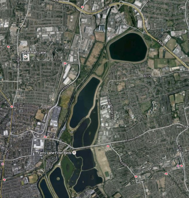
Lower Lea Valley
In addition to the housing developments at Meridian Water, more housing is being developed around Tottenham Hale station and other places in the area. But the development that will have the biggest impact on the area is not these developments but Thames Water and Waltham Forest’s massive plan to create the Walthamstow Wetlands. The project web site has this strap-line.
Transforming Walthamstow Reservoirs into a new urban wetland reserve for London
I have written about the Walthamstow Wetlands before in Before Crossrail 2 – Walthamstow Wetlands and now the project has its own web-site, I shall be following this exciting project a lot more. I believe the project has a lot going for it, but also it could be very important for Thames Water, who over the last few years haven’t exactly had the best of publicity at all times, what with our water bills and the Thames Tideway Scheme.
Because so much of London’s water is stored in the Lea Valley, it is very much in their interest to be good neighbours to the people and wildlife of the area.
The map also shows the rail links through the area.
1. The Lea Valley Lines
The Lea Valley Lines go northwards from Liverpool Street, Stratford and Hackney going up to Broxbourne, Hertford, Cambridge and Stansted Airport and as indicated earlier, extra tracks are being added and stations like Angel Road are being upgraded. A new station at Lea Bridge is also being built.
2. The Victoria Line
The Victoria Line goes underneath the area and links Central London to Tottenham Hale and Walthamstow. The line was built on the cheap in the 1960s and I have dreamed of what might have been. This August the line is closed to rectify one of its shortcomings, which will increase the capacity of the line.
3. The Chingford Branch Line
The Chingford Branch line crosses the Lea Valley Lines and the Walthamstow Wetlands as it links Chingford to Hackney and Liverpool Street. It is a line that can’t be extended, but there are plans to link it to the Lea Valley Lines by reinstating the Hall Farm Curve to allow trains to run from Stratford and Lea Bridge to Walthamstow and Chingford.
4. The Gospel Oak to Barking Line
The Gospel Oak to Barking Line (GOBlin) is the forgotten and down-trodden Cinderella, who could gatecrash the party in the Lea Valley and be a star of East London’s transport system.
Over the next few years, the following will or may happen to the line.
- Electrification
- Extension to Barking Riverside
- New four-car electric trains
- Smaller numbers of day-time freight trains.
- Increased passenger train frequency
The first three are hopefully cast in stone, as to cancel them now, would probably cost more than doing them. Especially, as the new trains have been ordered.
I am hopeful, that once the line is upgraded and electrified, this will enable freight operators to switch to electric traction, that could mean quieter services that might possibly run through at night.
As an aside, if I was standing for London Mayor, I would say I would put a limit of perhaps two non-electric trains a day on both the GOBlin and the North London Line. The freight operators would protest, but Class 66 locomotives have no business going through residential areas and crowded stations. Especially, when environmentally acceptable locomotives are available.
If the number of day-time freight trains could be reduced, this would allow more passenger services.
5. Crossrail 2
Crossrail 2 will have a big impact, when and if it arrives, as it will serve Tottenham Hale, Northumberland Park and Angel Road.
Before I finish this post, I have to ask, if we are doing enough with our transport network to serve large developments like Meridian Water, the Walthamstow Wetlands and Barking Riverside.
So what would I look at?
1. Crossrail 2
Politicians of all colours and tendencies are putting their faith in Crossrail 2.
But, I believe that the line, although surveys show it is much-needed, is a bit like the US Cavalry in a 1950s film, arriving in force after the poor settlers or ranchers have virtually been wiped out by the Indians.
We should prepare for Crossrail 2, so that all the engineering and architectural connections are there and all surface stations are upgraded over the next few years. This would mean that building Crossrail 2 would be just a matter of accurately threading the needles and then linking the tunnels to the existing stations.
Perhaps we should think of Crossrail 2 as a series of closely-related projects, rather than one huge mega-project.
- The main tunnels from Walthamstow Marshes to Wimbledon.
- The rebuilding of Central London stations to make them Crossrail 2-ready. Tottenham Court Road is already awaiting the tunnellers.
- The upgrading and rebuilding of the surface stations and rail infrastructure.
The great advantage of this, is that political responsibility for a lot of the work like the upgrading of surface stations, can be shared with the relevant Local Authority.
This post started with Enfield Borough Council and the Meridian Waters project and wandered into rail infrastructure, because Angel Road station is an important part of that project.
I doubt I’ll ever live long enough to see the opening of Crossrail 2. But I live in hope!
2. Improving Connectivity On The Gospel Oak to Barking Line
The Gospel Oak to Barking Line hasn’t got the best connectivity to other lines and it is also blessed with some difficult out of station interchanges for even strong walkers.
Walthamstow is an example, where the walk between Queen’s Road and Central isn’t that long but it is tortuous. This Google Map shows the area.
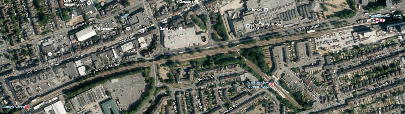
Walthamstow Stations
The East-West line is the Chingford Branch, with St. James Street station in the West and Central in the East. Croosing this line is the GOBlin with its station at Queen’s Road.
Surely something better could be done in Walthamstow. Interchange for someone pushing themselves in a wheelchair would be very difficult.
There is also an out of station interchange between Wansted Park on the GOBlin and Forest Gate on the lines out of Liverpool Street, which in a few years time will be Crossrail. This map shows the area.
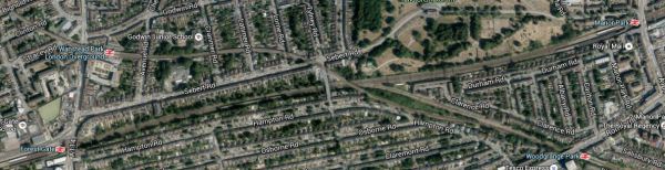
Wanstead Park And Forest Gate
It is an area, where some selected development could be of value, especially as the GOBlin passes over the Liverpool Street Lines. I’ve walked this interchange a couple of times and the following would help.
- Step-free access at both stations. Forest Gate is getting this with Crossrail.
- A light-controlled crossing at Wansted Park station
- A minor rerouting of the buses so that some passing through the area stop at both stations.
This would mean that someone pushing themselves in a wheelchair could use the interchange.
One station that needs to be improved is Blackhorse Road, which connects the GOBlin to directly to the Victoria Line. This Google Map shows the area.
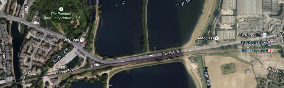
Blackhorse Road Stations
Note that the station site is not particularly cramped and it would be a not-to-difficult walk to the Walthamstow Wetlands, especially if you could hop on a bus for a couple of stops.
There is also the possibility of an improved station at Harringay Green Lanes, where a large amount of property development is possible according to this document on the Harringey Council web site. I talked about the possibilities in The Piccadilly And Victoria Lines, Manor House Station And Harringay Green Lanes Station, where I believe a flagship station could be built across Green Lanes.
This section in the Wikipedia entry for the GOBlin, lists other ideas for extra connectivity for the line.
But I believe there are three other important interchanges that will or may happen and I describe them in the next three sections.
3. Seven Sisters Interchange With Gospel Oak to Barking Line
Transport for London’s Plan for 2050, has a section in an Appendix with the heading of News links and/or Stations for Strategic Interchange. In a list of places where this might be done are the words Seven Sisters (GOB). Seven Sisters station is currently a valid out of station interchange with South Tottenham station on the Gospel Oak to Barking Line. In Crossrail 2 At South Tottenham/Sevens Sisters, I speculated as to how the two stations could be linked by a large double-ended Crossrail 2 station. This Google Map shows the two stations.
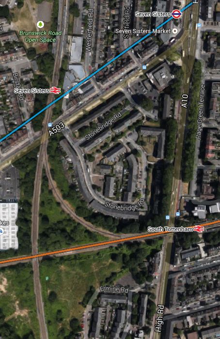
South Tottenham And Seven Sisters
There are also other possibilities here, like building a new station, housing or commercial development or allowing trains to link from the Northbound Lea Valley Lines through Seven Sisters to the Eastbound GOBlin. But whatever happens here, the GOBlin will eventually be linked to the Victoria Line and Crossrail 2.
Search the Internet and You’ll find little about this project, which is just two words buried in a TfL report.
4. Extending The GOBlin To Angel Road
This is speculation on my part, but the Meridian Water development will need more than just the one station at Angel Road. As the GOBlin goes across the southern part of the development site, is there an opportunity for an innovative connection through the development to Angel Road? This is a Google Map of the area from Angel Road in the North to Blackhorse Road in the East.
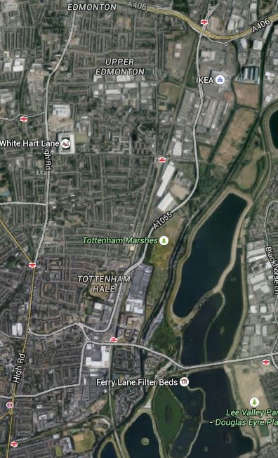
Blackhorse Road To Angel Road
The connection might be difficult for a train, but use a Class 399 tram-train and it could twist and turn its way between Blackhorse Road and Angel Road stations amongst the reservoirs and the developments to serve both those developments and the Walthamstow Wetlands.
5. Extending The GOBlin To Thamesmead And Abbey Wood
In No To Silvertown Tunnel, I examined the possibilities of extending the GOBlin from Barking Riverside over or under the Thames to Thamesmead and Abbey Wood station, where it would join up with Crossrail.
I felt that this would best be done using Class 299 tram-trains as they could go walk-about on both sides of the river giving much needed connectivity to the housing on both sides of the river. If it could be done, I felt that a bridge shared with pedestrians and cyclists would be the best way to join the two banks of the Thames.
6. The Hall Farm Curve, High Meads Loop and Dalston Eastern Curve
These three curves, if reinstated for passenger trains would create routes between the Chingford Branch and Lea Bridge, Stratford and any desirable station to the West. Reopening the Dalston Eastern Curve would give access to the East London Line for Crossrail at Whitechapel and South of the Thames.
As there could be spare capacity on the East London Line, which has been designed for twenty-four trains per hour, there could be a myriad of ways it can be used to increase the services under the Thames, so what Transport for London might do would be pure speculation on my part.
But I think they will eventually use these three curves to improve services in the Lea Valley.
7. Tram-Trains On The GOBlin
This may seem a bizarre idea, but having seen these hybrid vehicles all over Germany, I believe tram-trains are the way to add extra destinations to core electrified lines. On the Gospel Oak to Barking Line, in addition to being used to connect to Angel Road, as I showed previously, they could also be used with a tunnel or a bridge to extend the line from Barking Riverside under or over the river to Thamesmead and Abbey Wood.
People might worry that when running as trains, they may need different stations to the other trains, but the Germans seem to be able to design stations that accept both vehicles and I suspect the planned Rotherham extension of the Sheffield Supertram, will come up with solutions applicable to our standards. As to the required overhead lines, the Class 399 tram-trains can run using any of the voltages used for trams and trains in the UK.
There may be other places on the GOBlin and the other rail lines in East London, where tram-trains could be used effectively.
This will obviously be up to the planners, but I will be very surprised if tram-trains don’t infiltrate there way into many places all over the UK. At the moment transport planners, haven’t the experience of seeing a well-designed tram-train system working in the UK, but after what I believe will be a successful trial in Rotherham, I think we’ll see planners embracing the technology with open arms.
Conclusion
The GOBlin won’t be Cinderella any more!

