A Walk Around The Ordsall Chord
I took this walk around the Ordsall Curve.
I’d taken one of Manchestewr’s free city centre buses and a walk to the Spinningfields area.
This Google Map shows the layout of lines in the area.
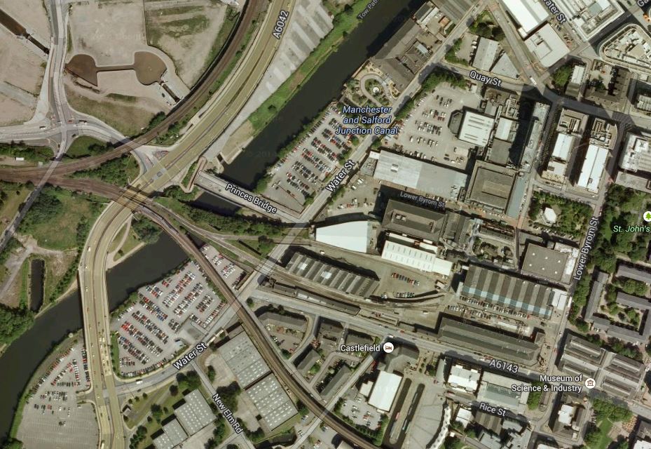
The Area Of The Ordsall Chord
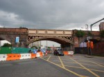
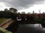
Walking North-East to South-West along Water Street, the bridges in order are as follows.
- The Prince’s Bridge is a disused road bridge, noticeable because of its zig-zag construction, which will be demolished. There’s more on the bridge on this page on Manchester History.
- Then there is the single-track line, that the Museum of Science and Industry used to run their replica locomotive.
- The Windsor Link Railway which connect Salford Crescent and Deansgate stations, appears to share a wide bridge with the line to the museum.
- The last bridge is the direct historic line between Liverpool Lime Street and Manchester Piccadilly.
This Google Map shows the lines as they cross the Irwell in detail.
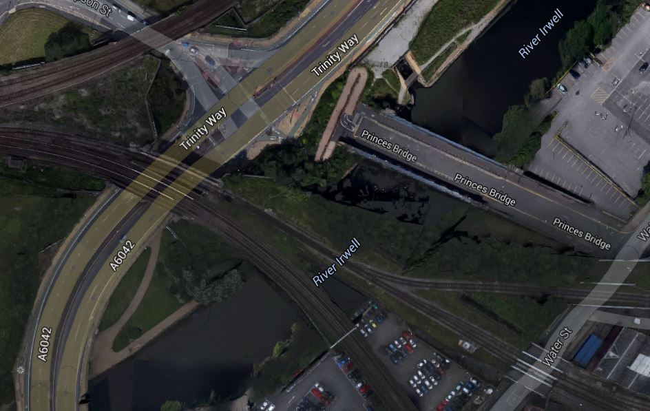
Across The Irwell
Note in the North-West corner of the map, the line between Salford Crescent and Manchester Victoria stations via Salford Central can be seen.
The Ordsall Chord will run in a North-South direction between this line and the line to Manchester Piccadilly.
Under Proposal in the Wikipedia entry for the chord, this is said.
The Ordsall Chord would preserve connectivity between the relocated East-West services and the city’s existing main rail interchange at Manchester Piccadilly. It would also improve rail access to Manchester Airport, which at present cannot be reached easily from Victoria. Without the chord, such operations would require for trains to be run on and then reversed back at Salford Crescent.
The would enable services such as.
- Huddersfield, Leeds and York to Manchester Airport.
- Leeds to Crewe without a change or a reverse in Manchester.
- Huddersfield to London without a change.
It will also enable services on the Northern branches out of Manchester to be connected to those going South, with stops at both Victoria and Piccadilly in Manchester. This will mean that passengers needing to cross Manchester will probably be able to change trains once, rather than use the tram. it should also mean that both major Manchester stations will be able to use their capacity better, as trains will go through Manchester rather than terminate in the city.
No-one could argue that building the chord is simple, although released images show it to be dramatic.

An Artists Impression Of The Ordsall Chord
Note.
- In the image, you can see the historic Liverpool to Manchester Line behind the bridge.
- Deansgate and Manchester Piccadilly stations are to the left with Salford Central and Manchester Victoria to the right.
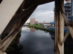
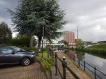
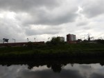
After walking past the bridges, I crossed the river and followed Trinity Way virtually all the way to Salford Central station.
As I walked, I took these pictures.


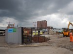


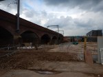

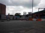


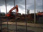


The one thing that surprised me about this visit, was that propgress in the short time, they’ve had since all the legals were settled, seems to have been purposeful.
From Salford Central station, I was able to get a train to Preston, where I stayed the night.
No comments yet.

Leave a comment