From Tottenham Hale To Northumberland Park
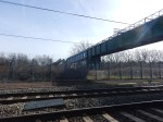
I wanted to see if I could see any more of the works to create STAR, so I walked between Tottenham Hale and Northumberland Park stations.
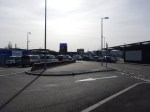
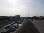
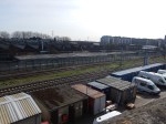
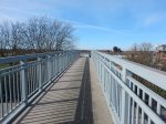
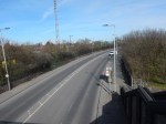
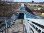

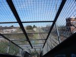
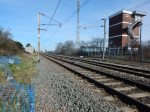

I first crossed the railway on the road bridge and then used a footbridge to cross back again.
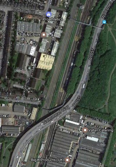
The Google Map show the area.
Note.
- The footbridge crosses the road and the various railway lines at the top of the map. The blue dot at its Eastern End is a bus stop.
- STAR will run on the Eastern side of the railway, in the space, which looks green on this map.
- Northumberland Park is the next station to the North
- Tottenham Hale is the next station to the South.
The map shows it is a tight space to thread a railway.

[…] I walked across it in March 2017 and there are some pictures in From Tottenham Hale To Northumberland Park. […]
Pingback by The Third Track Between Northumberland Park And Lea Bridge Stations – 12th June 2018 « The Anonymous Widower | June 13, 2018 |