Walking Down Renwick Road To Barking Riverside
This morning, I walked down Renwick Road to Barking Riverside.
This Google Map shows the area.
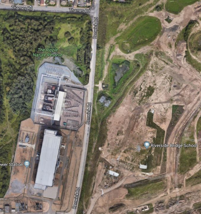
I started walking from Thames Road, turned South into Renwick Road and then walked to the bottom of the map.
- On the West side of the road is a Nature Reserve and the massive Barking sub station, which is a major distribution point for East London’s electricity.
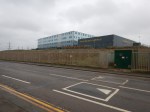
- On the East side of the road is Barking Riverside Campus, which is a large school catering for a wide age range.
It appears that the Barking Riverside Extension of the Gospel Oak to Barking Line, will run between the campus and Renwick Road, according to this map.
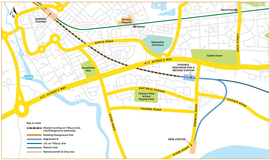
The location of Barking Riverside station is at the end of the branch line that comes South from the Barking to Tilbury Line.
I took these pictures as I walked.
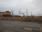
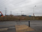
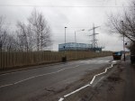
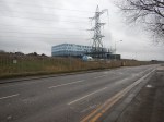
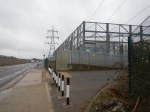
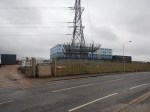
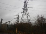

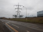


There are certainly a lot of large electricity pylons over the area.
I will be taking this walk, several times in the next few years to see how it changes, as the station is built.
No comments yet.

Leave a comment