Improvements To Oakwood Station
This post on IanVisits is entitled Enfield Council Outlines Possible Rail Station Upgrades.
By reading Enfield Council documents, Ian has found possible station improvements that might happen.
Ian says this about Oakwood station.
Building around 50 homes on the station car park should contribute to street improvements around the station.
This Google Map shows the station and its two car parks.
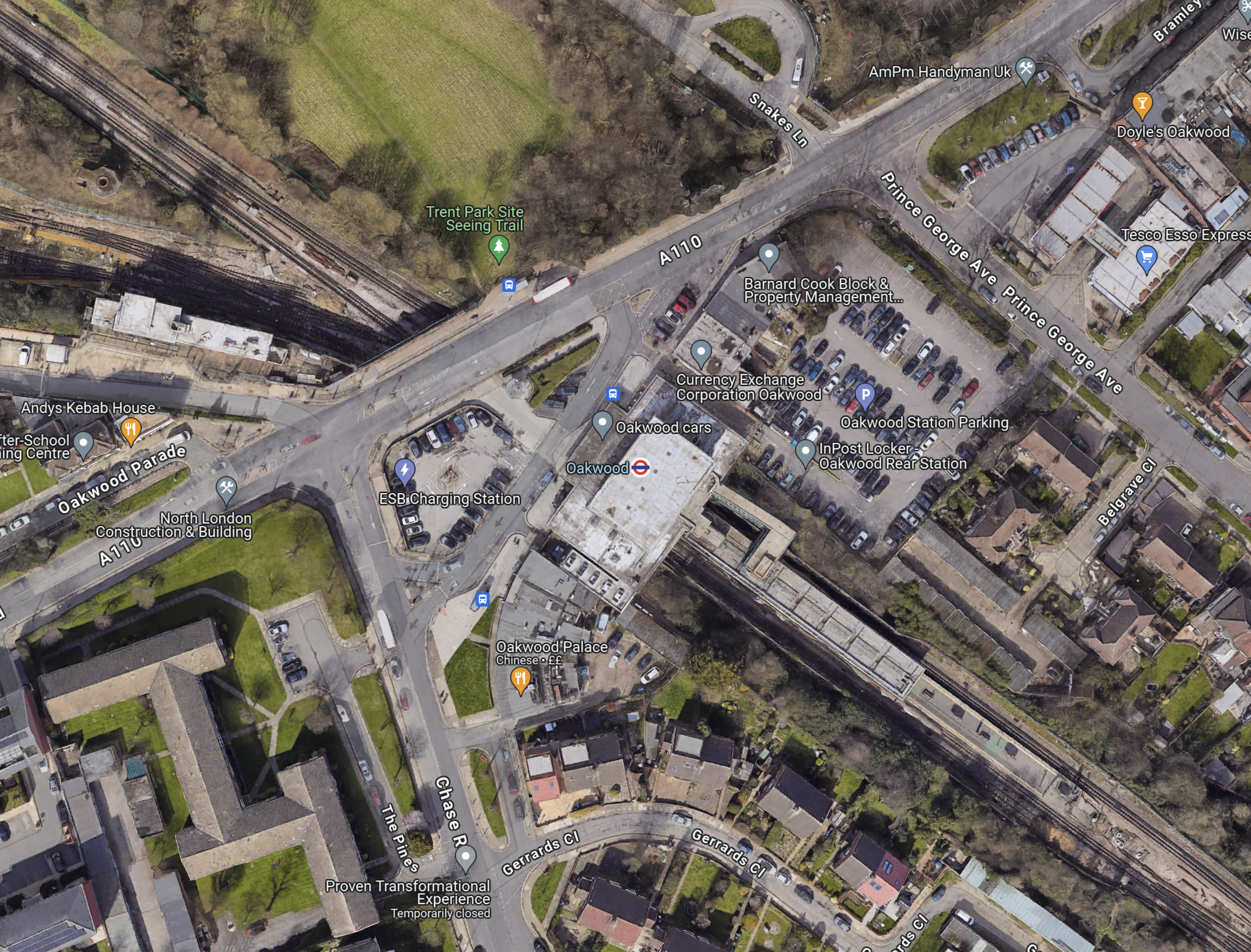
Note.
- The Piccadilly Line runs North-West-South-East diagonally across the map.
- Cockfosters station is to the North-West.
- Southgate station is to the South-East.
- Oakwood station is in the middle of the map and marked by a London Underground roundel.
- The car park to be developed is to the North-East of the station.
I took these pictures.


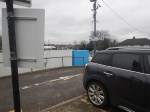
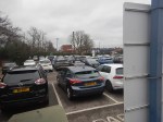

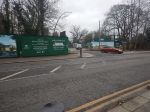

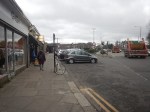

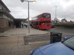

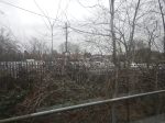
Note.
- The car-park was full.
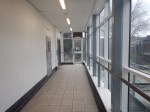
- The station is step-free.
- Barnard Cook was there, when I lived in Oakwood in the early 1960s.
I can’t see any problems building a few houses on the car-park, but what will happen to the cars?
To me though Oakwood station is defined by this post; The Place Where The Bottom Fell Out Of A Drawer.
Residents Invited For A Bird’s Eye View Of How Mid Cornwall Metro Will Transform Transport Links In Cornwall
The title of this post, is the same as that of this article on RailUK.
This is the first paragraph.
Residents have been encouraged to attend an event at the Hotel Victoria in Newquay on Friday 9 February (10am – 7pm) and Saturday 10 February (10am – 4pm) when they’ll be able to see for themselves how the Mid Cornwall Metro, funded by Cornwall Council and £50 million of government Levelling Up Funding, will create a sustainable transport corridor through central Cornwall.
This is the last paragraph.
Another engagement event will take place at the Stannary on the University campus at Tremough on Friday 1 March from 10am to 5pm, and the Temperance Hall, Lower Market Street, Penryn TR10 8BH on Saturday 2 March from 10am to 4pm.
If the weather looks good, then I might go.
This page, with an excellent graphic, explains the Mid Cornwall Metro.
New £24m Platform To Boost City Train Services
The title of this post is the same as that of this article on the BBC.
These are the first three paragraphs.
Bradford’s Forster Square station is to get a new £24m platform to boost rail services in the city.
Rail Minister Huw Merriman said the government-funded scheme would futureproof the station for generations to come.
It could lead to five more trains to London each day, the Department for Transport said.
There are positive comments from Bradford Council leader Susan Hinchcliffe and LNER.
These are my thoughts.
Where Will The New Platform Be Built?
This OpenRailway Map sows the layout of the current three platforms at Bradford Forster Square station.
The Wikipedia entry for Bradford Forster Square station, says this about platform usage.
During off-peak hours most trains use platforms 1 (for Skipton) and 2 (Leeds and Ilkley) – platform 3 is mainly used during weekday peak periods and in the evening, though a spare set is usually stabled here between 09.00 and 16.00 each weekday.
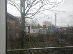
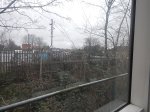
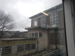
This picture was taken on the only time I visited the station in 2017.

Note.
- The middle platform is numbered 2b.
- As Bradford Forster Square station is a terminal station, I must have taken this picture from the Southern end of the station.
- From Network Rail’s plan of the station, it looks like Platform 1 is on the right or East and Platform 3 is on the left or West.
This page on the EnglandRover web site confirms that Platform 3 is the Western platform.
This article on the Bradford Argus is entitled Work On New Platform To Begin In Spring After £24m Boost.
This is a paragraph.
The extra platform will be built at the side of the station closest to Forster Square Retail Park. It means the station will expand outwards by a few metres, and the platform construction will require Network Rail to purchase a strip of land from retail park owners British Land.
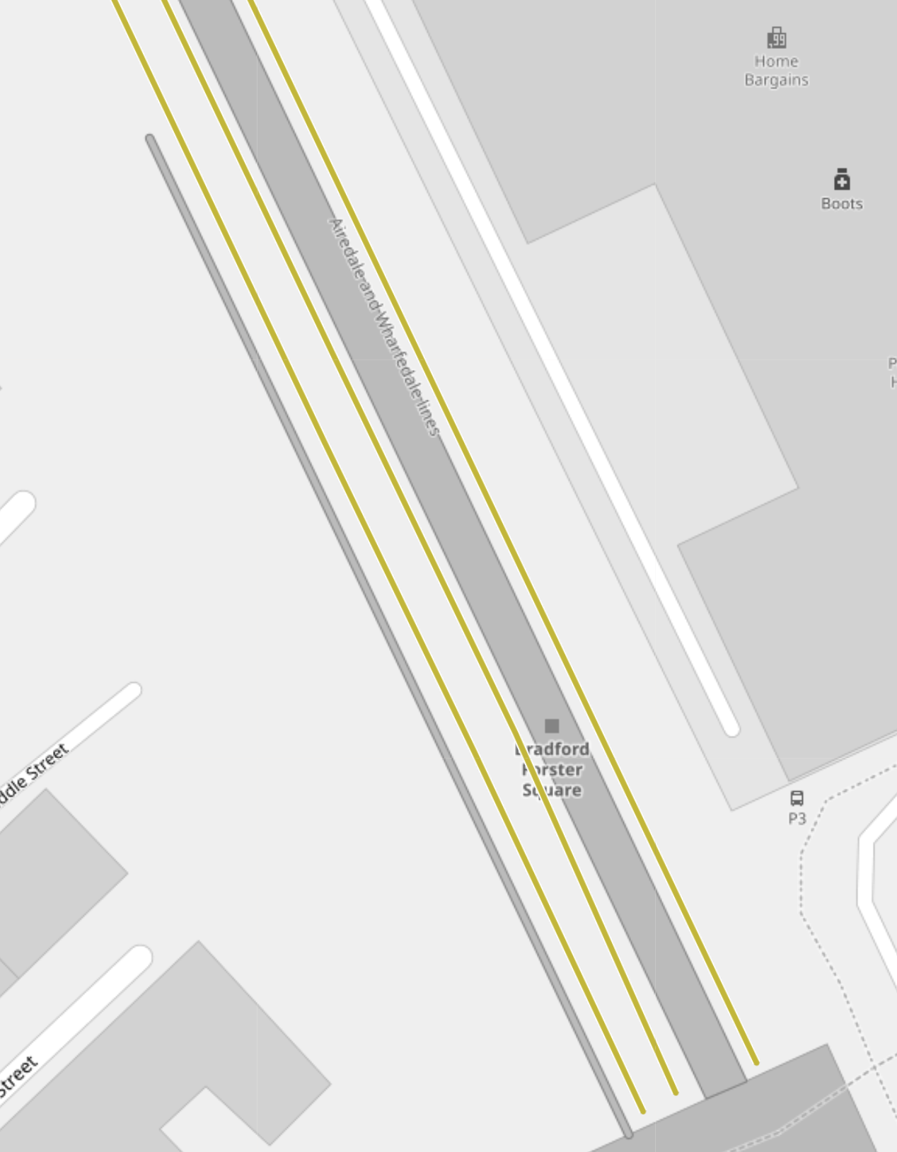
This Google Map shows where the platform will be placed.
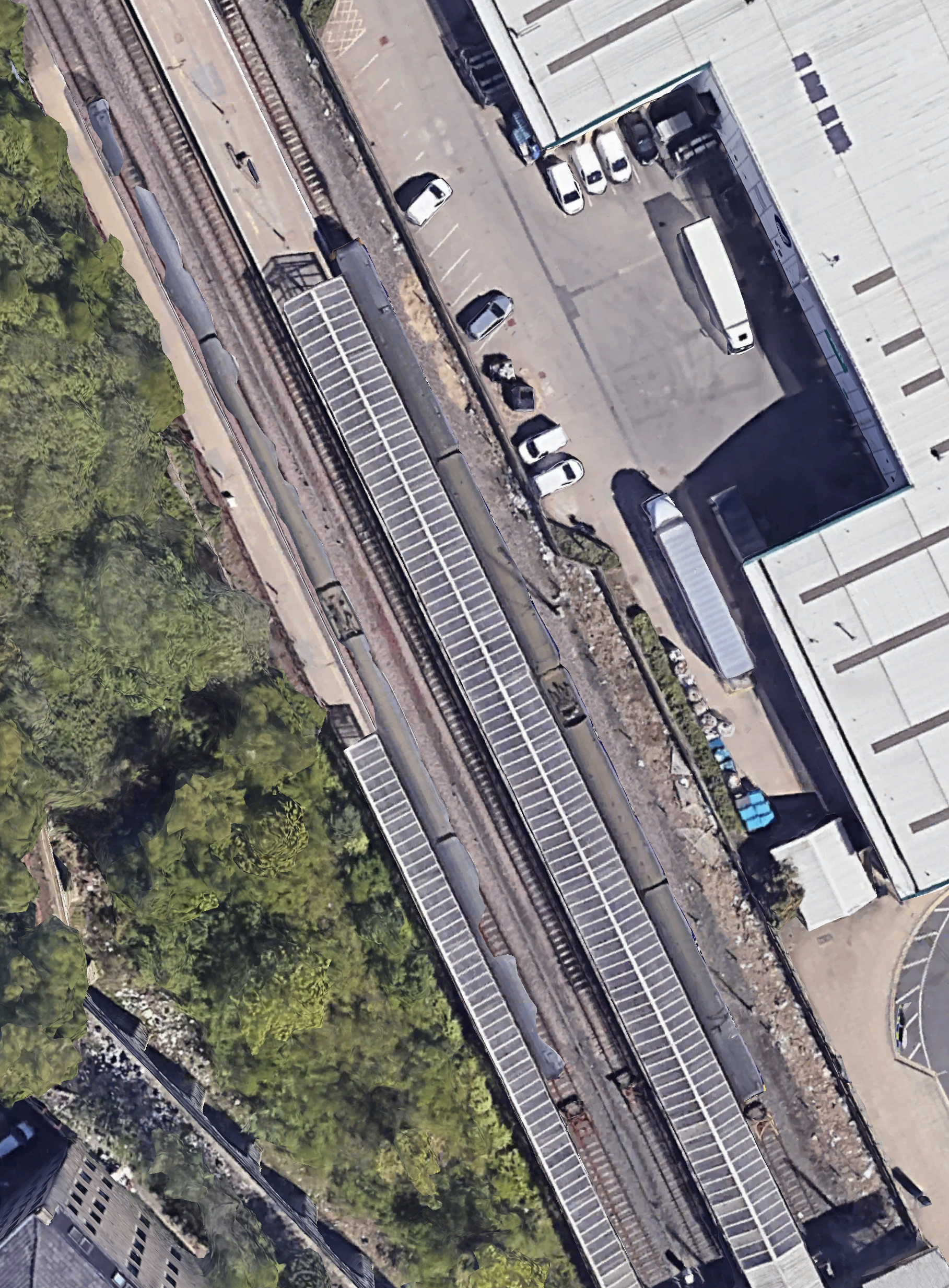
Note.
- The Forster Square Retail Park is in the North-East corner of the map.
- The glazed roof covers Platforms 1 and 2.
- There are trains in Platforms 1 and 3.
- Fitting in the new platform could be a bit tight.
Will the platforms be renumbered or will the new platform be called Platform 0?
Project Management Considerations
Consider.
- Bradford will be the UK City of Culture in 2025.
- British Land will want to have minimal disruption to the operation of their retail park.
For these reasons, all parties will want an early completion.
But as the site should have good access through the retail park, I could envisage that an early completion can be delivered by good project management.
How Many Platforms Will LNER Need?
Consider on the 1st of February 2024, four LNER trains visited the station.
- All trains were Class 801 trains.
- One train was a nine-car train and the others were a pair of five-car trains.
- Two trains used each of Platforms 1 and 2.
- LNER are planning to add five more trains per day (tpd), which will be a total of fourteen movements per day.
I suspect under normal operation, LNER could manage with one platform, as LNER’s movements are less than one per hour.
Conclusion
This new platform seems to be a good plan, that adds much-needed capacity for the short term and provides capacity for more services in the future.
