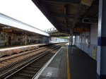
The London Tramlink Is Now Shown Properly On The Tube And Rail Map
The new London Tube and Rail Map, that is now shown in all good tube and rail stations has a redrawn and understandable tram map.
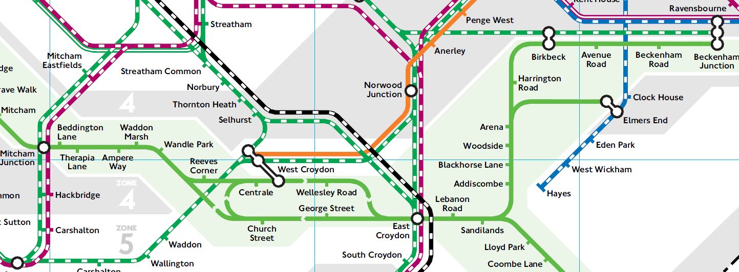
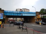
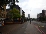
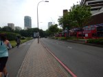
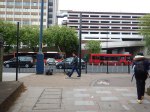
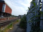
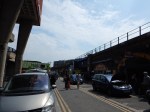
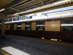
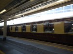
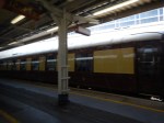
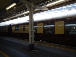
Trams In Croydon
At last!
Note the treatment at West Croydon!
I suppose to get from East Croydon station to West Croydon station, you just need to get on a tram, that’s going round the loop, rather than on to Wimbledon.
It still doesn’t answer the old chestnut of how you get from West bCroydon station to somewhere like Wimbledon or Ampere Way for IKEA.
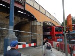
Improving Lewisham Station
In the June 2016 Edition of Modern Railways, there was an article entitled Turning South London Orange.
One of the proposals is to try to sort out Lewisham station.
My mother used to tell me never to go South of the Thames as you’ll get lost. Perhaps she had Lewisham in mind, as just look at this Google Map of the lines through the station.
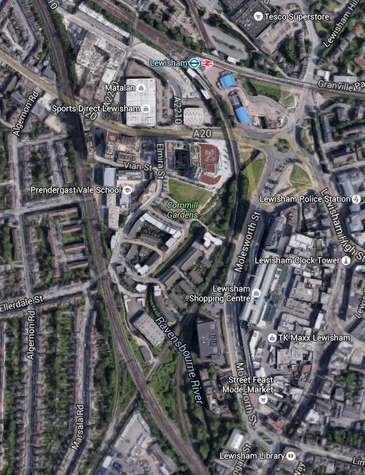
Lines Through Lewisham
The rail lines in the Lewisham area are.
- The lines to the West of the map is the South Eastern Main Line from Charing Cross to Dover and Folkestone.
- The line curving down from the station to the South Eastern Main Line is the Hayes Line, which meets it in a complicated junction.
- Going off to the East from the station is the North Kent Line.
Was the designer of the lines in this area having a laugh, as it must make running trains through Lewisham in an efficient manner extremely difficult.
I also assume that anybody going to and from Dover, can’t change trains at Lewisham, unless they an force a window and jump out.
In order to try to improve matters, the Centre for London report is proposing Lewisham South interchange platforms on the South Eastern Main Line, which are connected to the main station using a travelator running alongside the Hayes Line.
The thinking behind all this is detailed in this document from JRC consultants.
Some major points and recommendation from the document include.
- There are too many flat junctions and other track problems.
- The service levels from the area into London is erratic and nowhere near TfL’s oreferred level of four trains per hour.
- Getting to and from anywhere other than the City or Central London in the peak can be difficult.
- Connectivity to Lewisham to get the DLR to Canary Wharf could be improved.
- Southeastern’s commuter services should be taken over by TfL.
- Extending the East London Line to Lewisham wll be difficult and expensive, if not impossible.
The document also includes a map of the proposed travelator on Page 14.
It shows the travelator curving along the Eastern side of the Hayes Line to an island platform on the South Eastern Main Lines.
It also says this.
However a southern location closer to Lewisham High Street, placed over the Hayes branch line, in low value or empty land on the slow lines alongside Parks Bridge Junction and north of the Courthill loop, would permit a 12-car island platform connected into the Lewisham Interchange and making that much more of a hub station. A direct entrance to the southern part of Lewisham High Street could also be opened up. A travelator alongside the Hayes line, in several segments, would link to the interchange in 540 metres and also provide fast access to Lewisham shopping centre at an intermediate point.
This Google Map shows the area from the current Lewisham Interchange to the proposed Lewisham South.
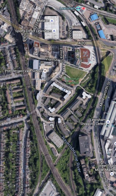
Note the blue roofs of the DLR station at the top of the map and the crossing by the South Eastern Main Line of the Hayes Line at the bottom, where it is surrounded by green space.
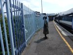
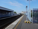
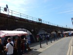
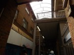
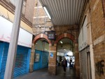
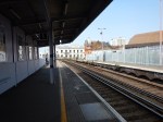
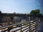
To get a better feel for the area. I took these pictures ass I walked from where the South Eastern Main Line crosses the High Street back to the station.
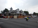
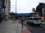
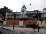
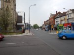
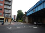
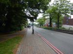
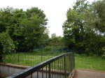
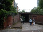
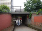
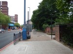
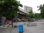
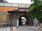
After this walk along the dual-carriageway from the Western end of Lewisham High Street to the station, I certainly think that a better walk could be created.
Let’s hope that when the current construction and road works are complete, that the current walking route between the station, the Shopping Centre and Lewisham High Street is improved.
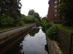
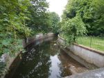
What disappointed me was that surely better use of the Ravensbourne River, which I called a Hidden Waterway in the pictures. This Google Map shows how it twists and turns through the area.
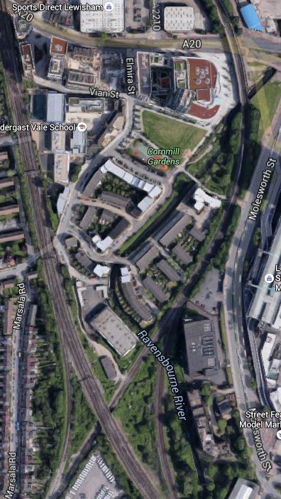
The Ravensbourne River Through Lewisham
I certainly think something better can be done.
For those who think a travelator is a bit naff, the JRC report also suggests that the DLR could be extended.
Consider.
- If it’s worth extending the DLR to Lewisham South, perhaps it should go further.
- One of the themes of the JRC report is prudence and affordability, which I think pushes the author to the travelator solution.
- The travelator route may make it easier to serve the Shopping Centre.
- A travelator might make it easier to catch the buses on the other side of the Shopping Centre, which every time I go to Lewsiham, I seem to have to do.
I also think that to extend the DLR would probably involve some impressive engineering to get over the roads by the station, whereas a walking route/travelator might even start from or beside the Hayes Line platform (2) on the bridge over the road. The latter option would mean that at the station end, all of the lifts are there for step free access to the other platforms.
I also think that not many passengers would want to transfer between Platform 1 at Lewisham station and the Lewisham South platforms, so starting the walkway from Platform 2, which has a level connection to Platform 3 and good connections to the DLR, would not be a bad idea.
Overall, I don’t think we make enough use of travelators and outside escalators.
But I do like the idea of the new platforms at Lewisham South and a travelator.
Something will have to be done at Lewisham, before the Bakerloo Line is extended to the area.
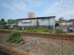
Improvements To Clapham High Street And Wandsworth Road Stations
In the June 2016 Edition of Modern Railways, there was an article entitled Turning South London Orange.
The report suggests putting platforms at Clapham High Street and Wandsworth Road stations on the Southeastern tracks to enable a direct service to Victoria to be reinstated.
This map from carto.metro.free.fr shows the lines through the two stations.
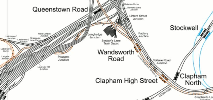
Lines Through Wandsworth Road And Clapham High Street Stations
If the proposed Brixton Tunnel were to be built, that would mean that only local stopping services and the London Overground trains would call at these two stations.
So would only two platforms be needed to handle all the trains? The frequency would probably be something in the region of twelve trains per hour, with possibly six on the Overground and six going to and from Victoria.
I know of many places in London and the rest of the UK, where a train every five minutes would be considered easy to handle. Crossrail and Thameslink will be handling a train at twice this frequency.
The great advantage of all trains in one direction being handled on a single platform face, is that if say you wanted to go from Dalston Junction to Victoria, you could get off one train at either of these stations and then get the next to your appropriate destination.
You could even use a wide island platform, which would allow changes where direction is reversed without leaving the platform. It would also only require one lift, so could the money be used for an escalator?
Because of the problems of providing platforms and a step-free connection at Brixton, undoubtedly, the platforms there would be built on the Northern pair of tracks. So I suspect that they would on these two stations.
This would have various knock-on effects.
- Freight, empty stock movements and other non-stopping services would use the Southern pair of tracks.
- There would probably need to be some reorganising of the junctions to the West of Wandsworth Road station, as part of the tunnel works.
- There would need to be some sorting out of the junctions East of Brixton to make sure all of the trains got to and from the correct places.
- Clapham High Street station could be properly integrated into Clapham North station with an escalator connection.
In some ways, it all shows how a tunnel under Brixton could be a masterstroke.
A New Station For Clapham East
In the June 2016 Edition of Modern Railways, there was an article entitled Turning South London Orange.
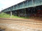
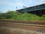
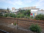
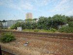
One of the proposals in the article is to create a new station at Clapham East. The location is half a mile North-East of Clapham Junction station on the East London Line.
This Google Map shows the location.
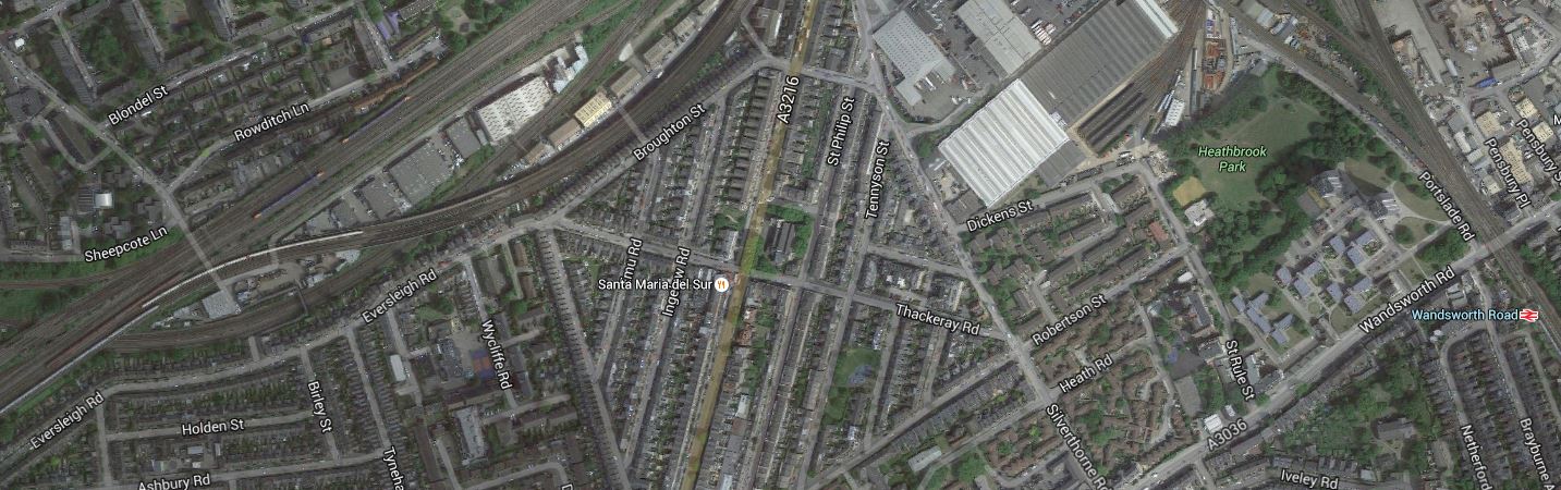
Location Of Clapham East Station
Note Wandsworth Road station at the East of the map, with Clapham Junction station, off the map a short distance to the West.
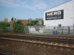
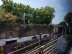
I’m not too sure of the exact location of the proposed station but it would appear to be on the East London Line, where it runs along Eversleigh Road, close to the junction of Culvert Road.
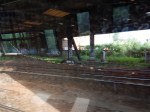
These pictures were taken as my East London Line train passed through in the area.
This map from carto.metro.free.fr might help.
Lines Around Clapham East Station
The bridge in the pictures is where the lines from Victoria go over the East Lo0ndon Line to get to Clapham Junction station.
I think the station will be on the East London Line, which is shown in orange, just above the words “Pouparts Junction.
The Centre for London report, says that the area rather lacks a train service and that a station is needed.
An Improved Station For Brixton
In the June 2016 Edition of Modern Railways, there was an article entitled Turning South London Orange.
One of the proposals in the article is to create an improved station at Brixton, by reopening disused platforms on the Northernmost tracks at the station.
Brixton station was designed by Topsy.and could probably be summed up by my post; Changing Trains At Brixton.
This is a Google Map of the station.

Lines Through Brixton Station
Note.
- The Northernmost lines don’t have platforms.
- The Overground uses the Southernmost lines, which also don’t have platforms and soar high above everything else.
Centre for London’s proposal envisages platforms being added to the two Northern platforms and using them for the Overground.
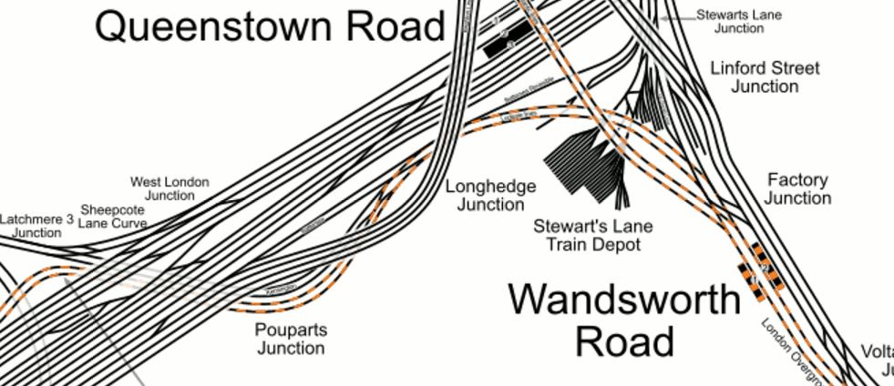
This map from carto.metro.free.fr shows the lines between Wandsworth Road and Brixton stations.

WandsworthRoad, Clapham High Street And Brixton Stations
This map shows all the junctions between the lines, which probably means that running Overground trains on the Northern pair of tracks is probably possible.
If the only platforms where trains stop are the low-level ones in Brixton station, surely, it would be be much easier to link them to the Victoria Line.
These are some pictures of the station.
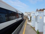
If it was being sold by legendary Estate Agent Roy Brooks, he would describe it as a building with potential.
The four low-level platforms are on solid Victorian railway arches and I suspect that a 3-D rendition of the station, would show it was possible to tunnel from the arches into the Victoria Line platforms, to give an escalator and lift connection.
It wasn’t done in the 1960s, when the Victoria Line was built or when the Overground was created, as in both cases, money was short and no-one believed that the two lines would be as successful as they are now!
But the more I look at the pictures and the maps, Centre for London’s idea of running the Overground on the Northern pair of tracks looks more feasible.
The related proposal of creating a tunnel under Brixton to remove the fast trains between Victoria and Kent, also helps, as it removes the fast trains from passing through Brixton station.
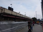
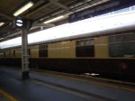
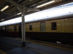
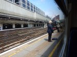
The Flying Scotsman At Victoria
In between taking pictures around Battersea, I found the Flying Scotsman in Victoria.
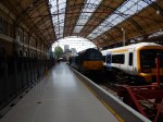
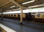
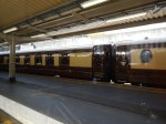
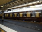
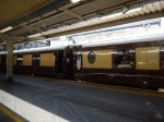
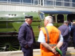
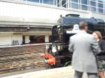
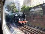
They certainly don’t seem to be wrapping the engine in cotton wool.
I travelled to Brixton with a couple, who had seen it with me. One thought it was fake!
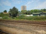
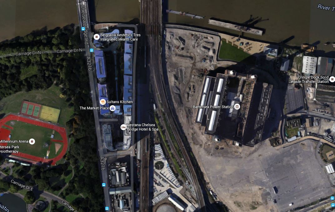
A New Station For Battersea
In the June 2016 Edition of Modern Railways in an article entitled Turning South London Orange.
One of the proposals is to create a new station at Battersea.
The station is proposed to have platforms on the Southeastern lines into Victoria, close to the Dogs’ Home, that will adjoin the new Battersea Power Station station on the Northern Line extension.
This Google Map shows the Battersea area |South of the Thames.
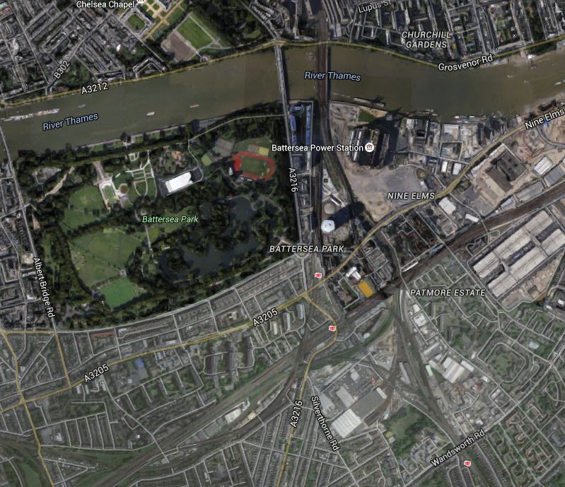
Battersea
Note the position of Battersea Power station to the East of the railway lines crossing the Thames into Victoria station.
The three stations shown are from North to South.
- Battersea Park, which is on the Brighton Main Line between Victoria and Clapham Junction stations.
- Queenstown Road is on the lines into Waterloo.
- Wandsworth Road is a London Overground station on the South London Line.
Battersea station will sit somewhere to the South West of the Power Station.
This Google Map shows the area in more detail.
The Location Of Battersea Station
Given that there is a redesign at Battersea, that I wrote about in Is A Big Row Developing Over The Northern Line Extension?, I have this feeling that a new Battersea station might be part of the solution. If Transport for London are having to foot the bill for a stronger station box, then connecting it to a new station on the Southeastern lines might generate traffic, that would create some income.
If the Improved South London Line proposed by Centre for London is built, then the new Battersea station will be conveniently between Victoria and Wandsworth Road stations.
- It would link the Northern Line to the Southeastern lines.
- It would improve journeys between South and South East London to Central London.
According to several theories, you can’t have too many stations.
A Tunnel Under Brixton
In the June 2016 Edition of Modern Railways in an article entitled Turning South London Orange.
One of the proposals is to create a tunnel under Brixton to cut out the need for fast Sutheastern services to cross Thameslink services on the level at Herne Hill.
The map from carto.metro.free.fr, shows the current lines between Battersea and Herne Hill.
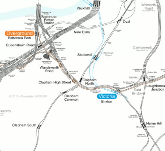
Battersea To Herne Hill
This crossing should surely have been sorted years ago, as it must be a severe bottleneck in the running of Thameslink services. It must be like having road-works controlled by traffic lights, where the M1 joins the M6. I wrote about the problems in Herne Hill Station.
Network Rail’s plan involved turning all Sutton Loop Line services at Blackfriars to ease the problem of getting the trains through the Thameslink tunnel efficiently, but politicians squashed that!
The Northern end of the tunnel would be in the Battersea railway lands North of Wandsworth Road station.
This Google Map shows the area.

North End Of Brixton Tunnel
The Southeastern lines come from Victoria and pass the Battersea Power station site on its Western side, before passing over the wide swath of lines going into Waterloo.
Fast services from Victoria to Kent would go straight into the tunnel, which would have its Northern portal somewhere between the power station and Wandsworth Road station.
Given there are proposals in the Centre for London report, for a new station at Battersea linked to the Northern Line Extension, it all seems to fit together fairly well.
A big winner could be the Battersea Bogs Home, as some of their space might be needed, but then organisations like that are much easier to deal with than irate home or business owners. I could see the charity ending up with some very good premises over the tunnel portal.
The Southern end of the tunnel would be between Herne Hill and West Dulwich stations.
This Google Map shows the area.

South End Of Brixton Tunnel
The Southern portal would be in the area, where the two railway lines cross to the North-West of the sports grounds.
It would seem with all the green space, that building the tunnel portal in the area would be easy.
But much of the land is owned by Dulwich College and they are not the most co-operative of neighbours according to various articles I’ve read.
So it would appear that the politics and public relations of a tunnel under Brixton could be much more difficult than the actual engineering.
The Centre for London report, doesn’t say much about the actual design of the tunnel, but it could be assumed that it would be a five-kilometre double-track tunnel, with or without low-level platforms beneath Herne Hill station. As none of the fast services currently stop at Herne Hill station, I would suspect that nothing more than provision for the platforms will be provided.
There will be various benefits of the tunnel.
- Eliminating the need for Thameslink services to cross the fast Southeastern services, must give benefit to both operators with respect to the robustness of services.
- Lengthening of platforms at Herne Hill will now be possible, which would allow longer trains on overcrowded services.
- Fast services would be removed from the lines through Wandsworth Road and Clapham High Street stations, allowing expansion of services on a reconfigured South London Line.
- Herne Hill station could get six ten-car trains per hour into Victoria calling at Brixton, Wandsworth Road, Clapham High Street and the new Battersea stations for the Northern Line.
It also has to be asked, if the tunnel, which would increase capacity on the Sutton Loop Line, might help with the problems of building Crossrail 2 through Wimbledon.
The other question that has to be asked is how does this all fit in with Transport for London’s possible plans to create a loop on the Victoria Line to serve Herne Hill station, which I wrote about in Will The Victoria Line Go To Herne Hill?
I think this proposal could be an idea, that could improve rail services substantially in this part of South London.
Proposed New Stations And Interchanges In South London
In the June 2016 Edition of Modern Railways in an article entitled Turning South London Orange.
In the article, there is a table of Station and Interchange Proposals. I will list them in order.
Battersea
Battersea station is proposed to have platforms on the Southeastern lines into Victoria, close to the Dogs’ Home, that will adjoin the new Battersea Power Station station on the Northern Line extension.
As this station appears to be crucial to a lot of the Centre for London reports proposals, I have given the new station its own post called A New Station For Battersea.
Beddington
Beddington station is proposed between Wallington and Waddon stations on the line between West Croydon and Sutton stations.
I don’t this area well, but here’s a Google Map between Wallington and Waddon stations.
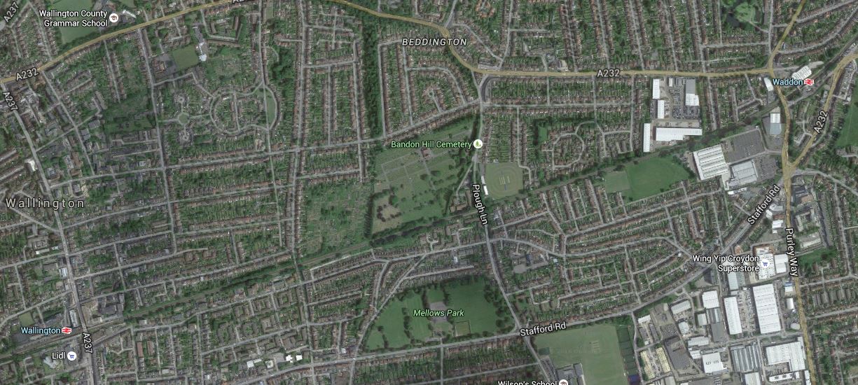
Proposed Beddington Station
According to the Centre for London report, there is a long gap between stations and there has been a loot of development in the area.
The rail line runs across the middle of the map and the station is proposed for Plough Lane, South of Bandon Hill Cemetery.
Brixton
One of the proposals in the article is to create an improved station at Brixton, by reopening disused platforms on the Northernmost tracks at the station.
I have written this a separate post at An Improved Station For Brixton
Brockley
The article proposes a new pair of platforms on the South London Line between Nunhead and Lewisham stations, providing interchange with the existing Brockley station.
I gave my views on Brockley station in A Report On The Bakerloo Line Extension, which I now repeat.
This Google Map shows Brockley station.
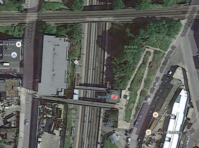
Brockley Station
The Bexleyheath Line between Nunhead and Lewisham stations crosses the East London Line and Brockley station at a high level.
I wrote A Four-Poster Station about connecting these two lines.
It would appear that Transport for London have advanced this project from one word in their 2050 Infrastructure Plan to a proposal.
This is the sort of connectivity, that us plebs in Dalston will like a lot. From 2018, as I wrote in Increased Frequencies on the East London Line, there will be ten services per hour between Dalston Junction and Brockley stations and one change at Brockley, will open up many transport opportunities.
Camberwell
Camberwell station is a new station on the Thameslink Line between Elephant and Castle and Loughborough Junction stations.
This Google Map shows the area around the disused Camberwell station.

Camberwell Station
Camberwell station used to be where Camberwell New Road crosses under the railway.
Wikipedia has a section about the re-opening of the station. This is said.
In March 2016 it was reported by Transport for London that proposals to re-open the station are being considered with other stakeholders, including the London Borough of Southwark. Initial feasibility indicates it would be possible to construct a modern station on the site if timetables could be modified to accommodate Camberwell as an additional stop. TfL will be working with Network Rail and the boroughs of Southwark and Lambeth to further develop the feasibility of this proposal.
I would also suspect that being able to open a new Camberwell station, at the same time as Thameslink, would be very easy to justify on a costs basis.
Clapham East
Clapham East station is proposed to be half a mile North-East of Clapham Junction station on the East London Line.
As this station is a new proposal and hasn’t come to my notice before, I have given the new station its own post called A New Station For Clapham East.
Clapham High Street And Wandsworth Road
The report suggests putting platforms at Clapham High Street and Wandsworth Road stations on the Southeastern tracks to enable a direct service to Victoria to be reinstated.
I have dealt with these two stations in Improvements To Clapham High Street And Wandsworth Road Stations.
Imperial Wharf
There is an interesting proposal to put a footpath over the Thames to give access to Imperial Wharf station from the South Bank.
This Google Map shows the station and the Thames.
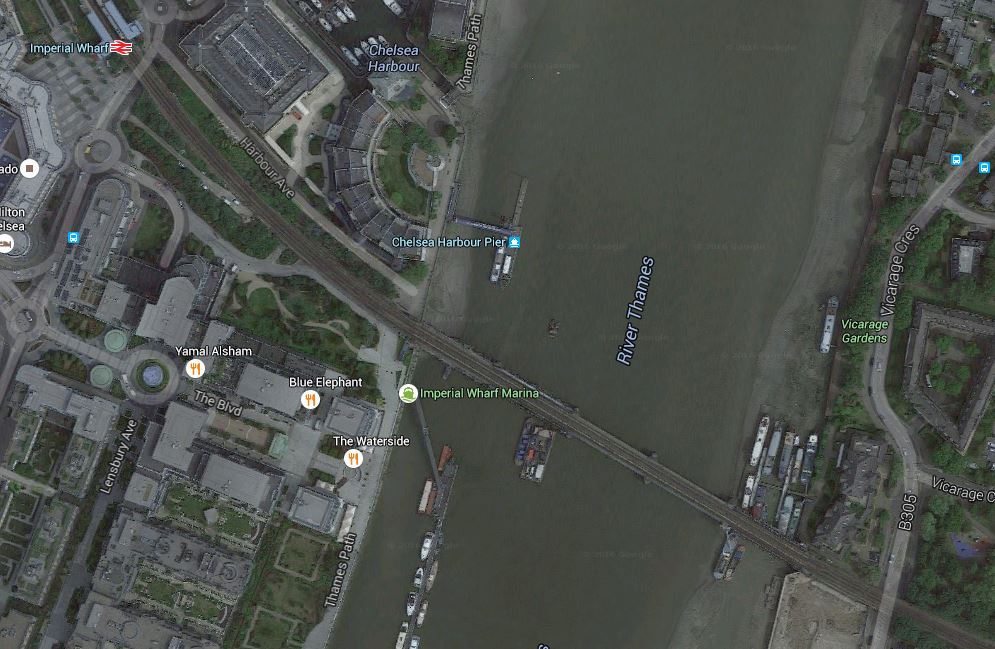
Why not build the footpath?
New Cross
New Cross station is just over five hundred metres from New Cross Gate station. This Google Map shows both stations.
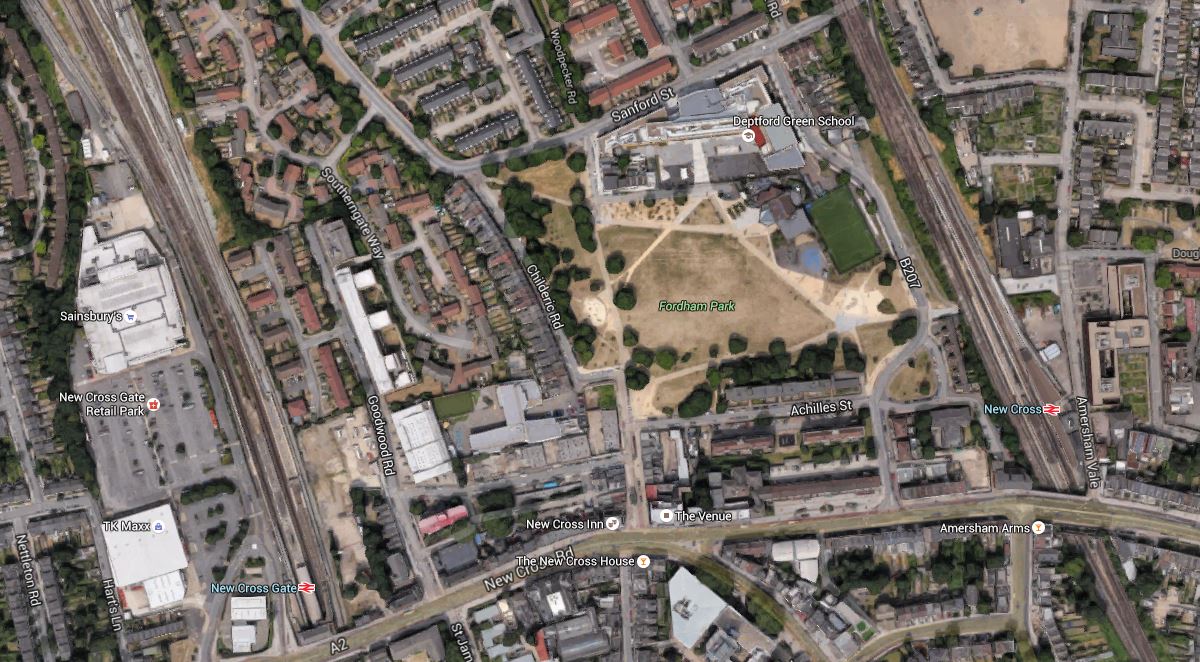
New Cross Gate And New Cross Stations
The Centre for London is proposing stopping East London Line services to New Cross, increasing service to New Cross Gate and building a travolator between the two stations. They say this in the report.
The proposal is to build an underground travolator between New Cross, Goldsmiths College and New Cross Gate interchange. At New Cross Gate a more frequent train service would be available on the ELL and existing Southern route. This would be a practical alternative linking the Southeastern and South Central networks, and it would also create Southeastern lines access via New Cross to the proposed Bakerloo station at New Cross Gate, for those trains which avoided Lewisham.
It is an interesting solution, that possibly could be used in many places.
Turning South London Orange
In the June 2016 Edition of Modern Railways in an article entitled Turning South London Orange.
It discusses a report by the Centre for London with the same name and a sub-title of Passenger Demand, Proposed Main Schemes And New Stations / Interchanges.
It is powerful stuff and these are posts I’ve written about their proposals.
An Improved South London Line Is Proposed
Proposed New Stations And Interchanges In South London
An Improved Station For Brixton
A New Station For Clapham East
Improvements To Clapham High Street And Wandsworth Road Stations
