The Falkirk Wheel
The Falkirk Wheel was the destination of the walk.


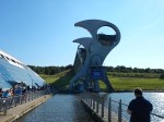


I think it is impressive. But is it art, engineering or a spectacular solution to lifting boats between two canals?. Wikipedia says this about the purpose of the lift.
The wheel raises boats by 24 metres (79 ft), but the Union Canal is still 11 metres (36 ft) higher than the aqueduct which meets the wheel. Boats must also pass through a pair of locks between the top of the wheel and the Union Canal. The Falkirk Wheel is the only rotating boat lift of its kind in the world.
It is also unique.
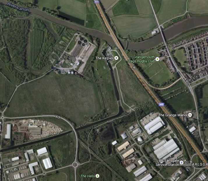
This Google Map gives a view looking down on the area.
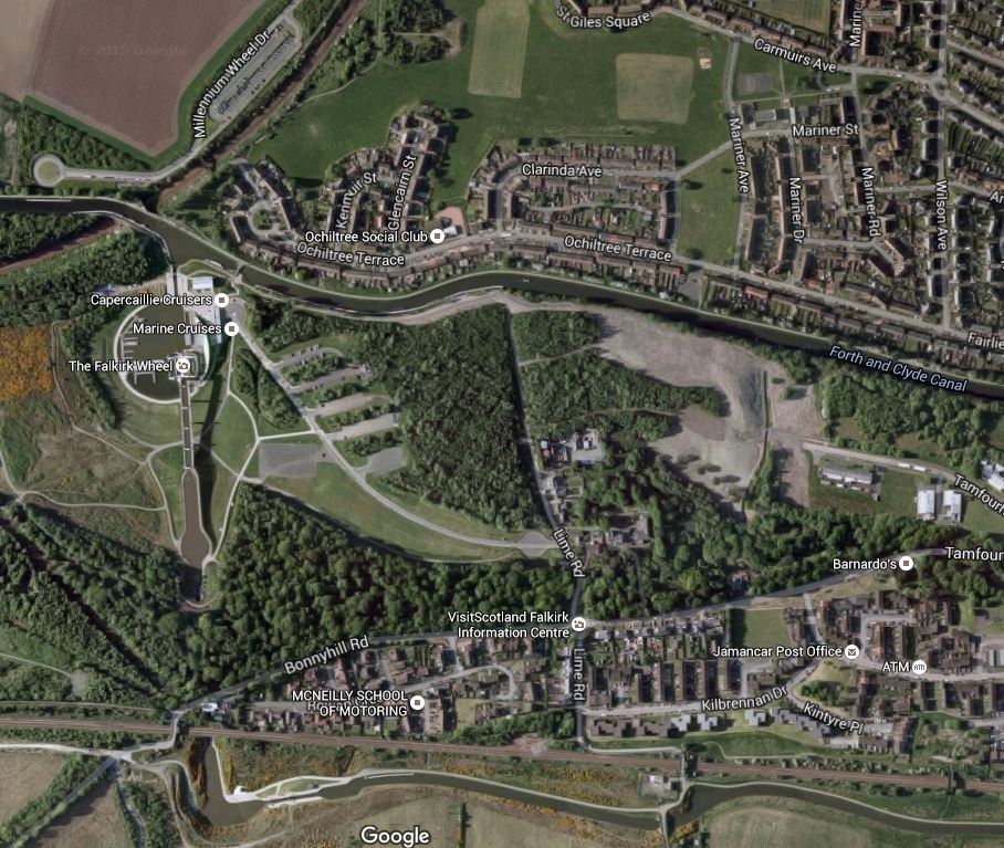
Falkirk Wheel
The Forth and Clyde Canal, which runs across the top of the picture is thirty five metres lower than the Union Canal that runs along the bottom.
Perhaps we should create more spectacular machines like this. In the same class, I would include, these from the UK, that I have seen.
All are different in their own way. But certainly at the Falkirk Wheel on a sunny Sunday afternoon, kids of all ages had gathered to watch.
From The Kelpies To The Falkirk Wheel
I walked from The Kelpies to the Falkirk Wheel. This Google Map shows the route.
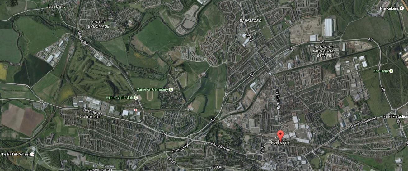
Kelpies To The Falkirk Wheel
I estimate it was about five miles and it is pretty flat with no steep hills. The red arrow shows the centre of Falkirk, with The Kelpies in the top right and the Falkirk Wheel in the bottom left corners respectively.
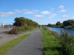
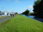
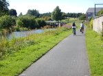
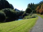
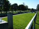
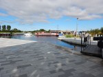
These are pictures I took along the route.


What was a great help was the restaurant called the Gambero Rosso by the Forth And Clyde Canal, where I had an excellent lunch.
The one thing that would have helped was a Boris-style bike you could hire at one end and leave at the other. They have a version of these bikes in Stirling.
The Kelpies
The Kelpies are best described by these pictures.
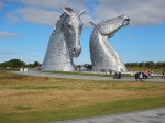
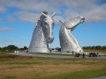
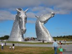


I liked them and their setting in the sun was excellent. This Google Map shows their location to the West of the M9 Motorway and South of the River Carron.
The Kelpies And The Helix
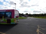
The area to the South has been converted into a park called The Helix. I came on a bus called The Loop from Falkirk Grahamstown station.
Getting To The Falkirk Wheel And The Kelpies
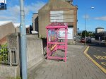
I took a train to Falkirk Grahamstown station and then got a pink bus called The Loop.
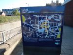
I know it is relatively early days, but information for the bus needs to be improved. You can find the stops easily, but knowing how long to wait is difficult, unless you are psychic. A big poster is needed in every stop, with the times that the buses arrive clearly marked.
The stops should also be clearly marked on the maps on the liths!
This type of tourist bus is crying out for a contactless ticketing system using bank/credit cards. Every time, the bus is used you touch in and at the end of the day your card would be charged appropriately.
In the next few years, this will become the gold standard for small payments and buses like this, that don’t embrace the technology will get lots of complaints.
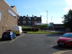
If the Falkirk Wheel attracts a massive number of visitors, I feel that the area could support a rail station. Look at this Google Map of the lower basin at the wheel.

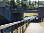
The Railway Passing The Falkirk Wheel
The railway is the line between Stirling and Glasgow and the bridge across the railway leads to the car park for the Falkirk Wheel.
To actually build a simple station should be fairly easy and visitor numbers and the level of success of the attraction will determine, if the station is ever built.
I think it will be built, as it has so many factors going for it.
