Walking The Proposed Route Of The Windsor Link Railway
There is a proposal called the Windsor Link Railway to link the two railway lines running into Windsor end-to-end and put a new station in the Goswells area of the town. This is the schematic of the route through Windsor clipped from Wikipedia.
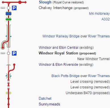
Windsor LinkRailway
Wikipedia also says this about Phase 1 of the project.
Phase 1 of the scheme would run from Slough to Staines, via Chalvey, Windsor, Datchet, Wraysbury and Sunnymeads.
A new all-in-one station in the Windsor Goswells (Windsor Royal) would replace the existing two nearby stations (Riverside and Central).
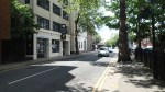
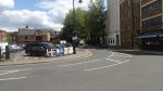
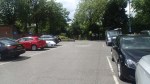
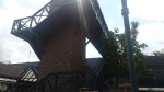
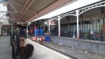
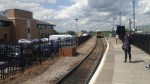
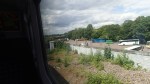
I took a train to Windsor & Eton Riverside station and then walked across the town vaguely following the route of the proposed cut-and-cover tunnel to Windsor & Eton Central station, where I got a train to Slough to change for London.
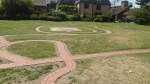
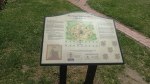
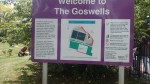
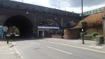
These pictures document the walk.







This is a Google Map of the area.
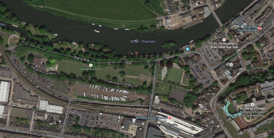
Windsor Stations
You can pick out the two stations, the coach and car parks and the tennis courts, with the Windsor and Slough Rail Line curving away to the North.
If you follow the proposed route from the Riverside station, it would be in a cut-and-cover tunnel passing in front of the Bel And The Dragon and probably through the car park and gardens to cross Goswell Road and then go through the coach and car park.
The building of the tunnel, looks like it would not require the demolition of any buildings, although it is likely that the gardens, the tennis courts and the bowling green would probably have to be relaid. The degree of difficulty of such a construction would probably be similar to that for the new tram/train tunnel being constructed in Karlsruhe, that I wrote about in this post. One of the important Crossrail projects, the Acton Dive Under would probably have used similar skills to those needed to construct the proposed tunnel under the streets of Windsor. Except that the Acton Dive Under is being built in a the middle of a busy four track railway and the Windsor Tunnel will be built in a busy town-centre road.
In everything written about the Windsor Link Railway, I can’t find any statement as whether the tunnel will be single or double track. When you bear in mind that the Windsor and Slough Rail Line is single track, I would not be surprised if the tunnel was also designed the same way, with perhaps a station with two platforms. The reason it’s not been stated, could be they’re keeping their options open.
I think that as the Windsor Tunnel will probably be not much more than five hundred metres in length and as it will only be used by electric trains, that it could be a simple design with a built in walkway like the Docklands Light Railway tunnels or the Canal Tunnels at Kings Cross. This would mean that large ventilation and evacuation shafts probably will not be needed. This would of course cut the cost of building the Windsor Tunnel.
Once at the viaduct, the track or tracks would have to climb onto the viaduct. The viaduct is surprisingly wide and is surrounded on both sides by car and coach parks, as is shown in this Google Map.
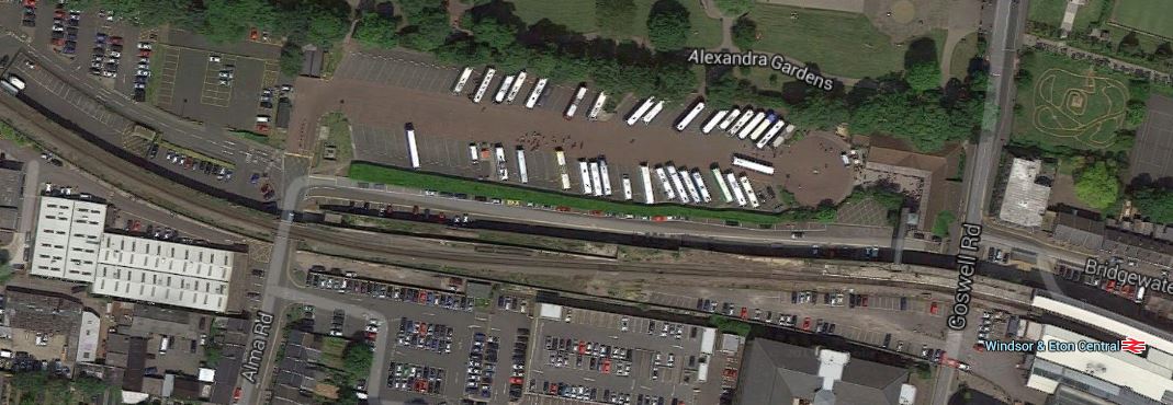
Windsor Viaduct And Car Parks
,I think that modifying the viaduct to connect the two lines would probably not be as difficult as the creation of the Bermondsey Dive Under, where space was at a premium and they wanted to thread a double up-and-down, between three other lines.
If you look at the schematic map of this line through Windsor, at the top of this page, you’ll see they have put a station called Windsor Royal in the middle of the Windsor Tunnel. And by it in the diagram is a big blue P, which probably signifies parking.
So will the proposed Windsor Royal station be either in on under the car and coach parks by the side of the viaduct?
As to its final design, that depends on the type and number of tracks and the skill of the architect and engineers.
One of the early things that must be decided, as it effects the design of Windsor Tunnel, Windsor Royal station and the line to Slough, is whether the line will be electrified to 25 kVAC overhead or 750VDC third rail, as Slough will soon be electrified to the former standard and Windsor and Eton Riverside is electrified to the latter. If the trains are going to go past Slough, perhaps to Reading or Oxford, and still run into Waterloo, the trains will have to be capable of handling both voltages, so something like the new Class 700 trains, that are being purchased for Thameslink, or something similar would fit the bill.
As the tunnel size required for a train using third-rail electrification is smaller, as you don’t have to accommodate the overhead wires, I would suspect that like on Thameslink, where the voltage changeover is at Farringdon station, that the pantograph will go up and down at Windsor Royal station.
As only one track is needed on the viaduct and it would obviously be easier and more affordable to only have one track leading to the viaduct, the line from Windsor Royal station to the viaduct will probably be single track, perhaps splitting just to the North of the station to allow a two platform station in between the tracks. After the Windsor Royal station, the tracks might combine again to allow a simple single-track tunnel to connect to the line for Datchet and beyond.
Wikipedia says that the two existing stations will be replaced by the new Windsor Royal, but the schematic at the top of this page, shows short spurs into the two existing stations. Is this a clue as to how the line will be built, whilst maintaining a train service that is essential to the lifeblood of Windsor and its residents, businesses and visitors?
I believe with good project management that virtually a full train service could be provided nearly all of the time, until a full connection is made through the Windsor Tunnel, at which point the existing stations can be closed.
I don’t know what those that are behind this project are thinking, but it has the air of a project that like all good projects has been designed in the garden or bar of a pub, whilst copious amounts of beer and other legal substances have been consumed.
Up And Down The Lea Valley Line Through Hackney
This morning, I went to Hackney Downs station and then took trains to Rectory Road, Stoke Newington, Cambridge Heath and Liverpool Street to see if the lines were improving.
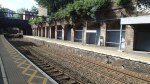
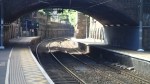
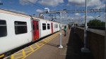
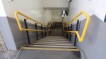
I didn’t see that much had changed, except that the stations seemed a lot cleaner, but the staff were so much more enthusiastic than those who worked for Abellio Greater Anglia.
There was evidence of some painting at Stoke Newington, but neither Stoke Newington or Cambridge Heath had orange station boards and Overground signs outside.
I did get a ride in the first repainted Class 317 train.
Mitcham Eastfields Station
With the summer now giving us lighter evenings, after Wednesday’s visit to Greenhithe station, I decided to have a look at another of Network Rail’s modular stations.; Mitcham Eastfields. The station has an unusual layout as this Google Map image shows.
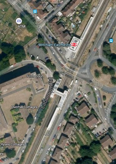
Mitcham Eastfields Station
Note that the two platforms are one each side of a level crossing and that the down platform where trains from London arrive has no facilities except a bridge to connect it to the other platform. It is an interesting attempt to find a solution to the level crossing problem. Wikipedia says this about the design.
The platforms are 170 m long, with a building on the up (northbound) platform. The platforms are arranged so that each is situated beyond the level crossing in the direction of travel, allowing the crossing to be reopened while trains are stopped at the station, minimising the disruption to road traffic.
I took these pictures as I walked from the down to the up platform over the footbridge.
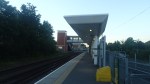
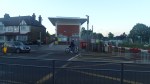
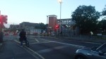
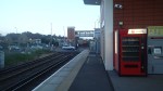
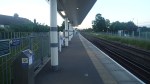
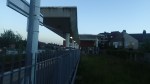
The design might need some fine tuning in the addition of a light-controlled crossing for foot passengers crossing from the down to the up platform, but it is an innovative approach to putting a station by a busy level crossing on a line with frequent trains.
Homerton Station
I went to Homerton station today to see how the station was built and take some pictures.
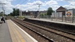
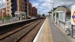
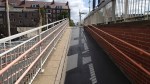


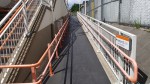

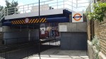
The layout of the station is simple with a subway under the lines and steps and shallow ramps to both platforms. It is not true step-free access, but it is better than many other stations.
I did hear though that the station is going to be improved, by opening up a new entrance on the Northern side of the tracks. I also think that this would be an easier station to fit with lifts as there seems to be more space than at some stations. In fact, as it is near to a hospital lifts are surely essential.
The second entrance would also mean that there are both a bridge and a subway under the railway, which must make access easier, especially for those walking to and from the hospital.
I think that this station can be updated with a second entrance and lifts for a lot less than the eight million that is possibly be going to be spent at Hackney Wick station.
The Plans For A New Hackney Wick Station
Hackney Wick station is one with two long ramps up to the platforms, which are on an embankment. This is a Google Earth image of the current station.
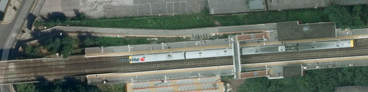
Hackney Wick Station
Note the Class 378 train in the Eastbound platform and the very long ramps.
These pictures show the current station.
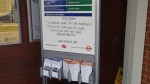
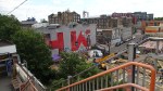

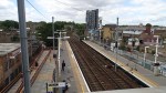



But improvements are in the offing.
This document on the Hackney Council web site announced the plans for a new station. It says this.
An £8.5 million project to upgrade Hackney Wick Station has been announced.
Improvements are set to include new routes to reduce journey times to iCITY and the Olympic Park, moving the station entrance to street level, a new and enlarged concourse, lifts for step free access and the creation of a north-south walkway for passengers and pedestrians through the railway embankment.
It certainly is a comprehensive rebuild. I clipped these images from this document.
This is the station entrance.

Hackney Wick Station Entrance
This is the view from the south side of the line.
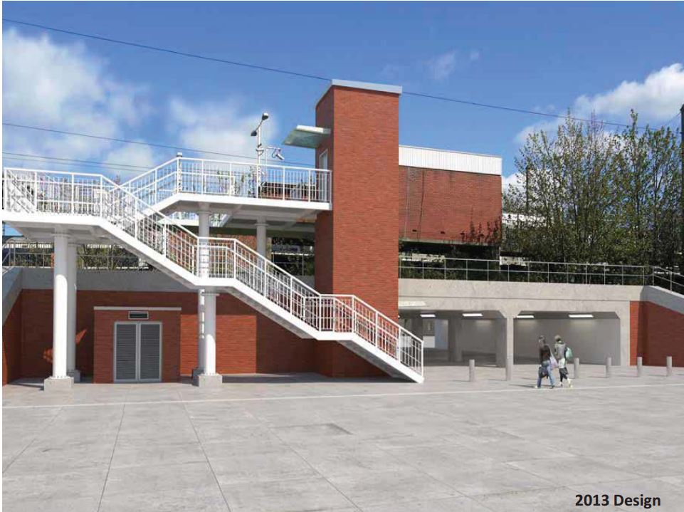
Hackney Wick Station South Elevstion
This image shows the Hackney Wick Artwall, which is shown in one of the pictures I took.

Hackney Wick Artwall
In my view the overall station design sets a powerful precedent, as it puts a subway into a station on an embankment with lift towers on either side of the tracks.
There must be a few stations like this that could be given a similar treatment.
By Train To Ebbw Vale
I don’t think I’d ever been to Ebbw Vale before. But I certainly hadn’t been by train.
So when I said that I was going to Cardiff today after getting in contact with an old acquaintance, who now lives in South Wales, he suggested that we meet up, when I was in the Welsh capital.
As a new station has just opened at Ebbw Vale Town, which was perhaps a dozen miles from his farm, he suggested that we meet there and find a convenient pub.
So I got on a Class 158 train direct from Cardiff Central and we quietly trundled up the hills to Ebbw Vale. These pictures detail the journey.

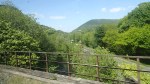

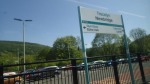
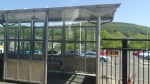



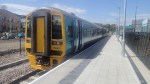
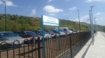
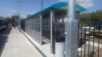
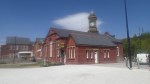


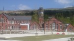
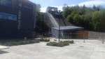
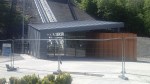

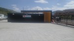
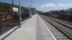
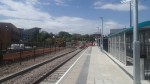
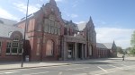
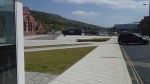
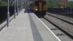

I didn’t really know what to expect, although the scenery on the way up was typical ofthe South Wales Valleys on a fine day. At the top, you arrive at a simple one-platform station in a landscaped bowl beneath the town, with various civic buildings and a funicular to the town centre.
Sadly, the funicular hadn’t started running yet!
Obviously, the project is not finished yet.
The first thing that must be done is get the funicular working reliably, so that visitors and regular travellers can get to the town centre.
Obviously, there is little information at present, about perhaps some walks or other things you might like to do. As I didn’t have much time, I didn’t have a real explore, but I would think that it might be a nice walk down the valley to Ebbw Vale Parkway station.
The other thing the station needs is a nice cafe and shop.
This Google Earth image shows the area round the station.
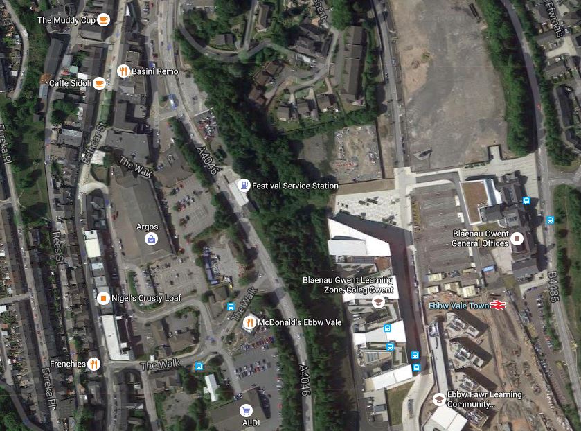
Ebbw Vale Town
It would appear that the town centre does have an elusive cafe.
Incidentally, the hospital isn’t far away down the hill. So that isn’t a difficult journey away!
Wikipedia says this in the article about Ebbw Vale Parkway.
Demand for travel to and from the station was seriously under-estimated by the promoters of the line’s reopening, even though the service provided was to Cardiff only and not to Newport as well, as originally assumed. For example, in 2008/09, usage at the station was forecast to be 50,000, for journeys on the lines to Cardiff and to Newport, but was actually about 250,000, for journeys on the line to Cardiff only. Part of the reason for the demand underforecast was the requirement that no demand from regeneration of the former steelworks area should be assumed.
If they’ve got the site for Ebbw Vale Town right, there could be another serious underestimate.
At least plans are in place for a second platform and I saw evidence of a second track being built, which will all allow a half-hourly service and a possible service to Newport.
Long term, the line like many of the lines in the South Wales Valleys, could be electrified, for which funding was announced in 2014 in this article in South Wales Online.
So in a few years time or so, when I travel between Cardiff and Ebbw Vale Town, will I use a much more frequent and faster service in something like a refurbished Class 315 electric train? In some ways it would be very fitting to do the journey in a steel-bodied train, even though they will be around forty years old. But then they are based on Mark 3 coaches and have the capacity to live more lives than the average cat.
As by 2022 or so, Newport and Cardiff will be on an electrified Great Western to London, if the connections are arranged correctly, places like Ebbw Vale will have a frequent electric service to London, Heathrow and all points East, which can only be good for the employment, leisure and other prospects for the South Wales Valleys.
All Change At Barking
Over the next few years there are going to be changes at Barking station.
Barking and Dagenham Council have plans to redevelop the station, but compared to many 1960s stations built by British Rail, Barking station isn’t one where you need to call in the heavy demolition squads. From what I’ve seen elsewhere, a partnership between good architects and a competent construction company, should be able to create a station fit for the twenty-first century.
The station is also served by two ambitious operators; Transport for London, with both Underground and Overground and c2c with services along the Essex Coast.
So I have this hope that between the three of them, they can turn Barking into another East London gateway to Essex alongside Liverpool Street and Stratford.
It has also been announced that the Gospel Oak to Barking Line will now be going to a new station at Barking Riverside.
Transport for London have now produced two options about how this line will link up to the station.
This is Option A, which would need two single track viaducts.
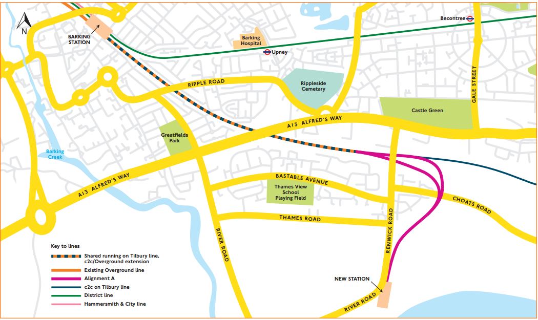
Barking Option A
And this is Option B, which gives the option of a second station and needs a double-track viaduct.
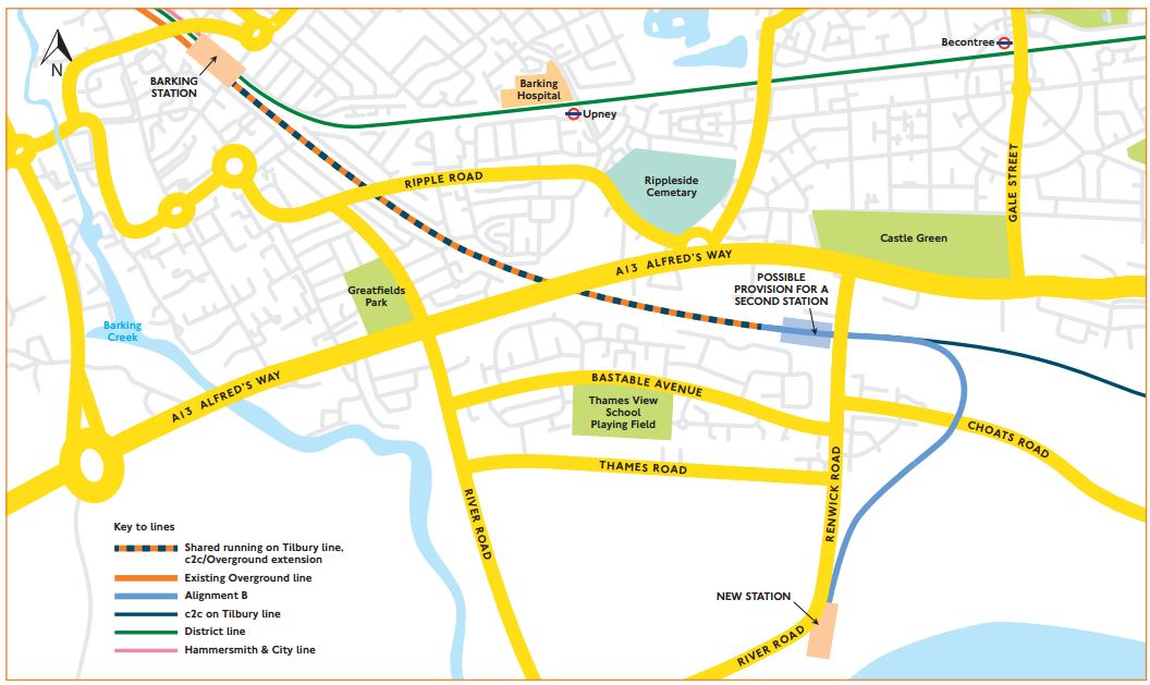
Barking Option B
As both link into Platforms 7 and 8 at Barking station, there would appear to be little difference between the two options except for the ability to have a second station with Option B and the possibility of one track layout being cheaper.
This Google Earth image shows Barking station.
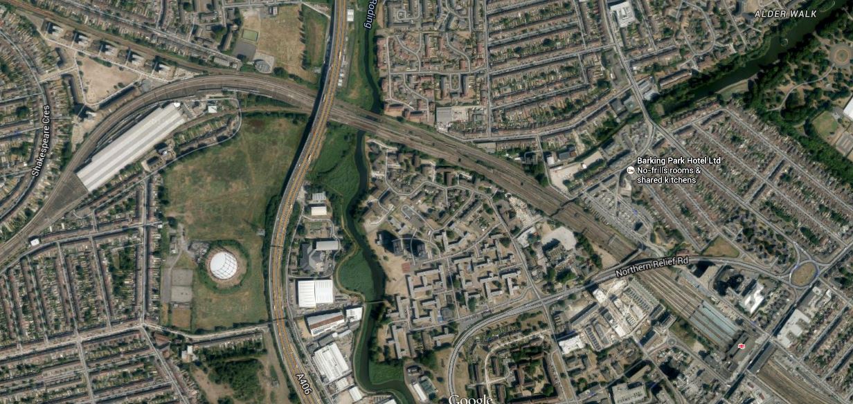
Barking Station
Platforms 7 and 8 are at the southern side of the station. So this means that trains from Gospel Oak, will have to criss over several lines to get from the northern side to the southern. But this is not a problem here, as there is a flyover, which has been built to get freight trains across the main lines. If this hadn’t been built sometime in the past, then extending the GOBlin to Barking Riverside would be a lot more expensive.
When I was at Barking recently, Underground and c2c trains were using opposite sides of the same platforms, thus allowing cross-platform interchange.
This would appear to be the platform usage.
1 – Bay platform for Gospel Oak to Barking trains
2 – Eastbound Underground – Paired with 4
3- Bay platform for Underground – Tucked between 2 and 4
4 – Eastbound c2c – Paired with 2
5 – Westbound c2c – Paired with 6
6 – Westbound Underground – Paired with 5
7 – Eastbound c2c – Paired with 8
8 – Westbound c2c – Paired with 7
If there is a problem, it is that to change between c2c and the Underground isn’t always a simple cross-platform interchange, but sometimes up and down steps. As getting on the Underground at Fenchurch Street isn’t simple and West Ham is similar to Barking with lots of steps, it would seem that this neglected part of London needs a few station improvements.
This won’t get any better after Barking Riverside is served, as this will put extra trains through platforms 7 and 8.
I would assume that Network Rail have a cunning plan up their sleeves.
It would surely be better if all c2c trains used either platform 4 to go east and 5 to go to west to Fenchurch Street.
This may not be possible with the current track layout, which would appear to split into the two services via Basildon and Ockendon respectively to the west of Barking station. The southern route via Ockendon, branches away soon after the station, so moving the junction to the east of the station to use just a single platform in each direction, might not be possible.
But a better platform layout would make it more difficult for passengers to get lost or miss connecting trains at Barking.
I think in a few years time, Barking will have an important interchange station, adding significantly to the transport options of the area.
Westfield Gets Its Own Overground Station
Shepherd’s Bush, Kensington Olympia, West Brompton and Imperial Wharf stations are the four stations on the West London Line of the Overground, that also served by services between Clapham Junction and Milton Keynes.
Shepherds Bush station has just been updated with longer platforms and a second entrance.
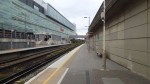
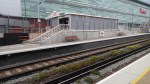
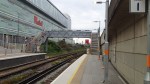

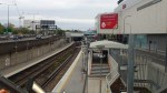


As the pictures show, the new new entrance is by the Westfield shopping centre and there is a light-controlled crossing across the road.
It will be interesting to see how customers take to the new entrance. I go to Westfield occasionally and it is usually because I’m coming back from somewhere in West London and need to buy some food or have lunch. As the centre has a Waitrose and a Carluccio’s in the corner near the station, I would probably use the new entrance to get a train home, as it would be a shorter walk. I doubt I’d use the Overground to go to Westfield, as going by the Central Line is quicker. But for those south of Shepherd’s Bush, it would probably be the exit of choice.
The main reason for the station upgrade would appear to have been a need to accommodate the longer trains on the Milton Keynes services, but I do think that we might see new entrances created at the other end of other Overground stations. I’ve felt for a long time, that Highbury and Islington station could benefit from a second entrance.
I also wonder, if this updating is part of a bigger plan to make more use of the West London Line.
The current Milton Keynes service terminates at its southern end at Clapham Junction, but it used to go through to South Croydon. In fact in November 2014, I used the link to go from Wembley Central to East Croydon. From Clapham Junction, the route was by Wandsworth Common, Balham, Streatham Common, Norbury, Thornton Heath and Selhurst, I would assume the service has been cut back because of Thameslink work, but I do feel that quite a few people could have been inconvenienced by this. I have a friend, who lives in South London, who uses the West London Line to get to matches at Wembley. So he might not be amused by this cutback.
As Clapham Junction is such an important station in South London, perhaps if there was a better connection to Willesden Junction, then the service might find quite a few passengers come out of the woodwork.
If Crossrail builds the threatened station at Old Oak Common, to link to HS2, the current service will be totally inadequate for the demand I’d expect. This is a map of the favoured option at Old Oak Common.
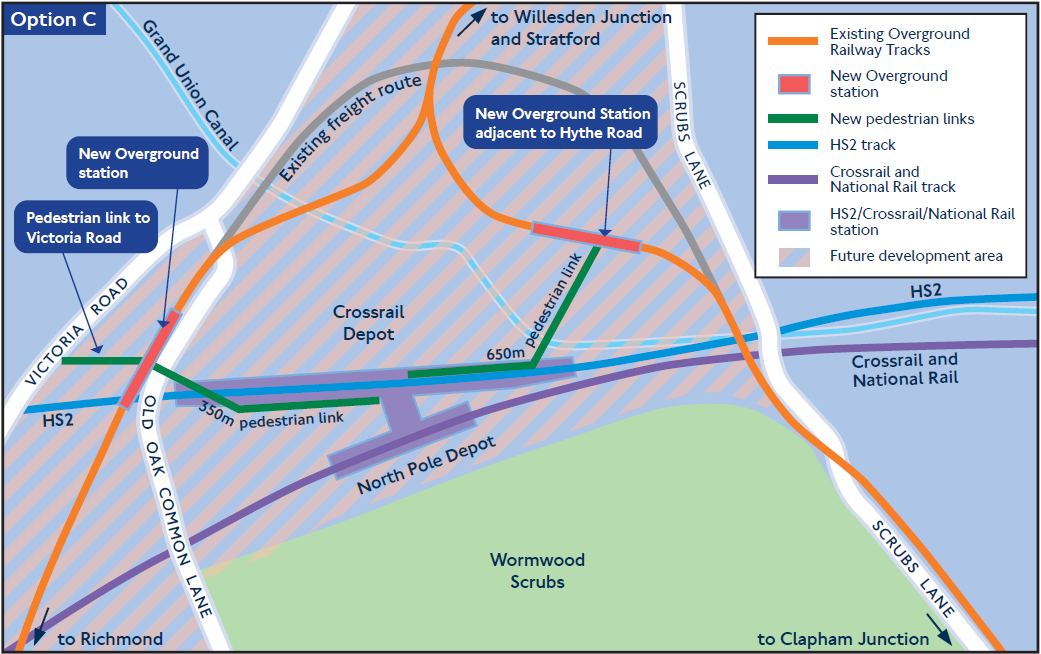
Option C Proposal At Old Oak Common
One of the problems is the number of freight trains that currently use the West London Line. But surely with a good sorting out and after electrification is complete in the area, their level can be reduced.
Mill Hill Station And Ewood Park
Ewood Park, the home of Blackburn Rovers is not the easiest ground to get to from the main station for the town.
Normally, I take a bus from the station, but it is not the easiest way as there is no relevant information, despite the fact that the bus station is outside the train one. Obviously, the natives are psychic in Blackburn.
So today, I decided to go via Mill Hill station as it looked like a downhill walk to the ground. This Google Earth image shows the area.

Mill Hill Station And Ewood Park
Mill Hill station is in the top left of the picture and the football ground is to the bottom right. These are some pictures of the station.
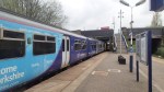
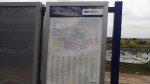
I didn’t post any of the maps and signposts at the station, as there isn’t any meaningful information on how to get to the football ground.
I don’t think I’ll bother with this route again, as it has little to recommend it and a station that desperately needs more information and disabled access.
It is a truly dreadful station and after the Todmorden Curve is fully open, you’ll need to change trains at Blackburn to get here from Manchester.
New Cross Station Is Finished
In a post last September, where I went up and down the East London Line, I took a few pictures of New Cross station. I changed trains at the station today and took these pictures.
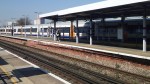
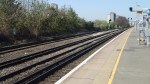
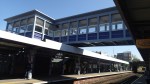

It certainly looks a lot better. The sun helped too!
My only problem with the station is that changing trains to go south after travelling from Dalston Junction is a walk across a platform and very easy, but return journeys mean a platform change over the bridge.
Perhaps one day, they’ll extend the East London Line trains to a proper terminal at another station. like Hayes as I suggested in this post, so northwards changes would be simpler.

