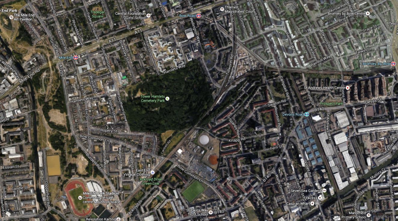
From Bromley-by-Bow To Mile End Park
This Google map shows the c2c railway line from where it passes through Bromley-by-Bow station in the East to where it crosses Mile End Park in the West
From Bromley-by-Bow To Mile End Park
This map from carto.metro.free.fr shows the railway lines around the triangular junction towards the top of the map and to the East of Tower Hamlets Cemetery Park.
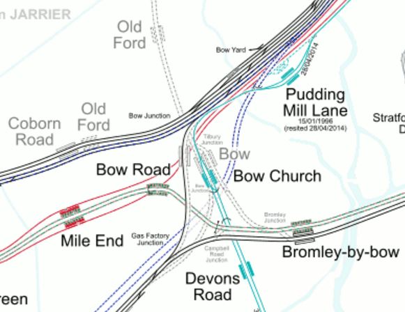
Lines Around Eleanor Street
The map certainly shows, there has been a lot of building of railways in the area. This Wikpedia entry for the former Bow station gives some of the history.
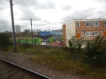
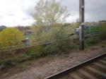
These pictures show the route taken from a c2c train going towards London.


Note.
- The Crossrail ventilation and evacuation shaft at Eleanor Street is at the point of the triangle, where the Underground lines go Northwards and the c2c lines go Southward.
- The travellers site is in the middle of the triangular junction.
- The single-track chord for Stratford, links the c2c lines into Fenchurch Street to the Great Eastern Main Line.
- This chord is clearly visible on the map of the Lines around Eleanor Street.
- Tower Hamlets Cemetery Park, which is worth a visit and I wrote about in Around Tower Hamlets Cemetery Park.
- The Crossrail ventilation and evacuation shaft at Mile End Park, which is in the South East corner of the Park by the railway.
In The Ventilation Shafts For Crossrail, there is more details on the shafts and some pictures from April 2015.
No comments yet.

Leave a comment