Development At The Royal Arsenal
The historic Royal Arsenal site at Woolwich is being developed.
Wikipedia gives a good summary of present day developments.
This is the summary.
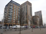
The sprawling Arsenal site is now one of the focal points for redevelopment in the Thames Gateway zone, but the links to its historic past are not lost. Many notable buildings in the historic original (West) site are being retained in the redevelopment; the site includes Firepower – The Royal Artillery Museum telling the story of the Royal Artillery, and Greenwich Heritage Centre which tells the story of Woolwich, including the Royal Arsenal. Parts of the Royal Arsenal have been used to build residential and commercial buildings. One of the earliest developments was Royal Artillery Quays, a series of glass towers rising along the riverside built by Barratt Homes in 2003.
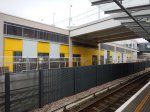
Underneath the latest developments is the new Woolwich station for Crossrail.
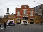
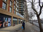
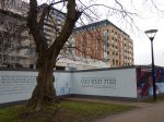
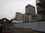
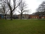
These are some pictures I took.


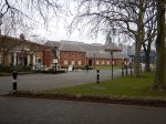

According to Wikipedia it is one of the biggest concentrations of Grade I and Grade II listed buildings converted for residential use.
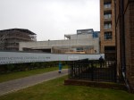
This aerial picture shows the site from the South East.
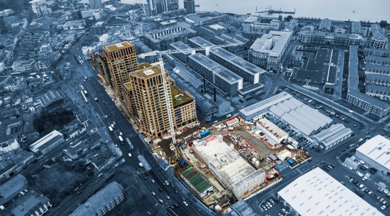
The station is behind the towers along the main road.
Woolwich Station As An Interchange
Woolwich station has not been designed as an intended interchange, but it is only a short walk away from Woolwich Arsenal station, which has connections to Southeastern and DLR services.
As the walking connection passes several useful shops including a large Marks and Spencer food store, who knows how people will use the interchange?
Crossrail Release Aerial Views Of Stations
This page on the Crossrail web site has several up-to-date aerial views of stations.
This image shows the Crossrail station at Paddington station.
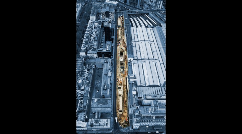
Crossrail have said this about the station.
The Elizabeth line station runs along the full length of the existing Paddington Main Line station. A 90 metre clear opening – a unique feature for an urban underground station design – will be covered by a dramatic steel and glass canopy eight metres above the ground that will allow natural light to flood down to the station platforms.
This Google Map shows Paddington station and where Crossrail comes to the surface to the West of Royal Oak station.
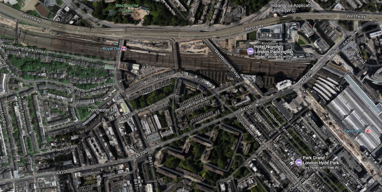
If you look in the top-left corner of the map, you can see a road named as Westbourne Park Villas. The foot-bridge across the railway from this road is the one in The Footbridge At Westbourne Park, from which I took pictures of the Crossrail tunnel portal at Royal Oak.
This map from carto.metro.free.fr shows the layout of Crossrail and the Underground Lines at Paddington station.
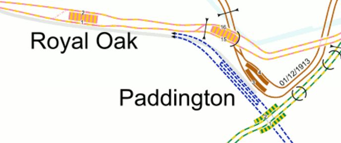
So it looks like the Crossrail lines go under all the lines into Paddington and then they surface by the Westway, before going under the footbridge and linking with the main line out of Paddington.
A link between the Bakerloo Line and Crossrail is being constructed, which I wrote about in Paddington Is Operational Again, but is there going to be a link between the Circle/District Lines and Crossrail?
Custom House Station – 26th January 2017
Custom House station will close on the DLR on February 3rd until late December 2017, so I went to take some pictures to see how far the builders have got.


It would appear that not to much has changed since I last visited and wrote this post called Custom House Station – 24th July 2016.
