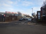
A Walk From London City Airport Through Silvertown To The Elizabeth Line
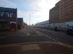
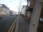
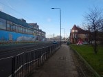
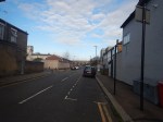
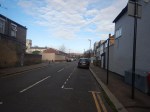
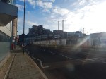
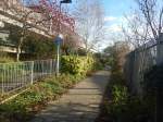
I went for a walk from London City Airport, this morning.


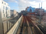
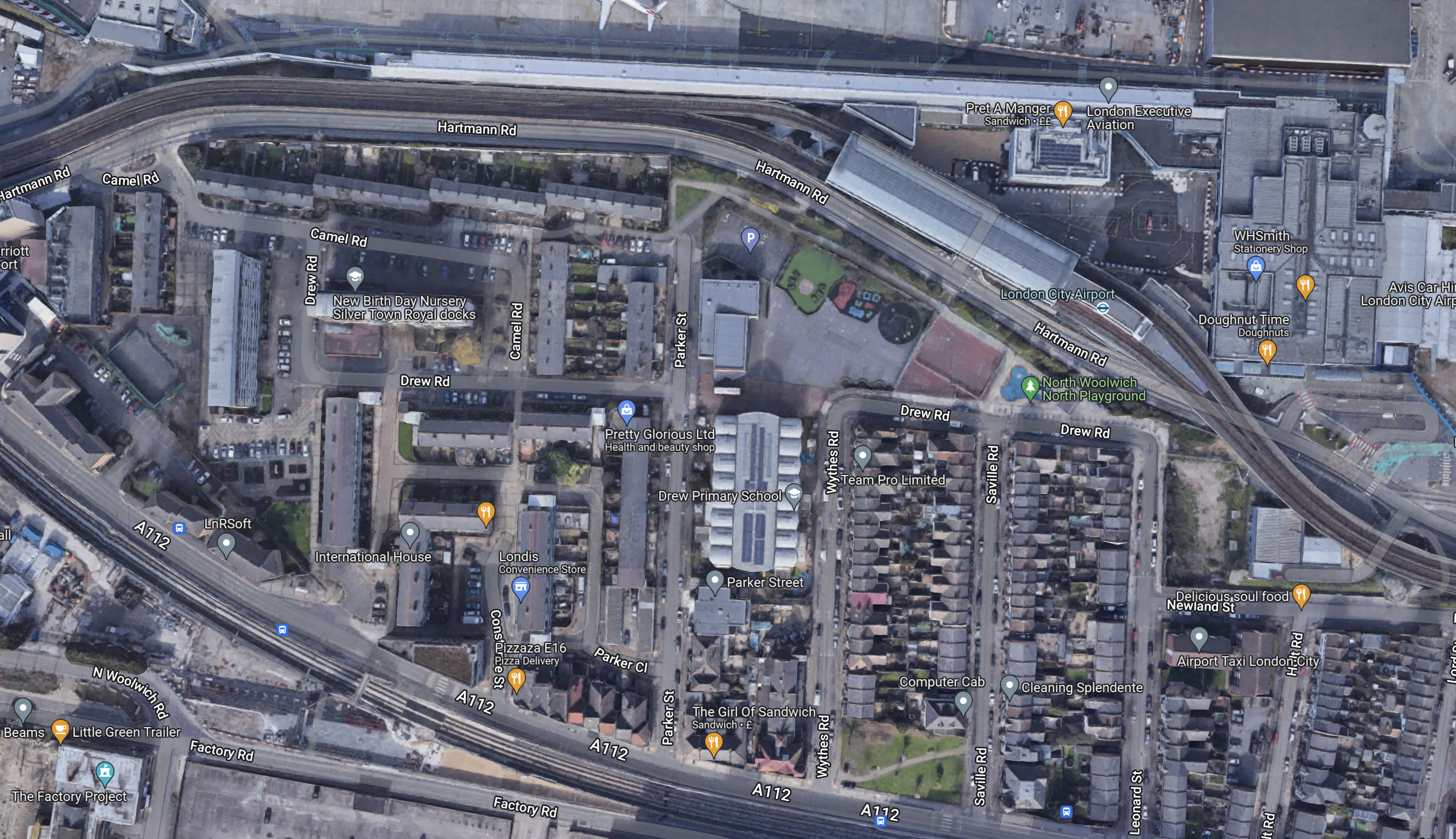
This Google Map shows the area between London City Airport and the Elizabeth Line.
Note.
- The airport is just off the map at the top.
- A plane is partially visible in the middle.
- The Docklands Light Railway runs across the map from the top-left corner, through the station for the airport.
- The Elizabeth Line runs across the map from the middle of the left hand side.
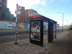
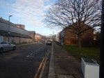
- The blue dots alongside the Elizabeth Line are bus stops.
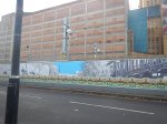
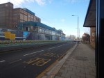
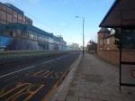
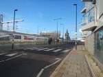
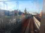
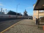
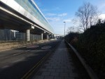
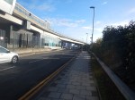
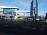
- The bus stop, that is shown in the third picture, is marked by the rightmost blue dot.
- I estimate it’s about a three-hundred metre walk between Railway and the airport.
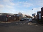
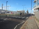
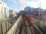
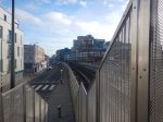
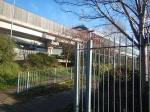
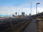
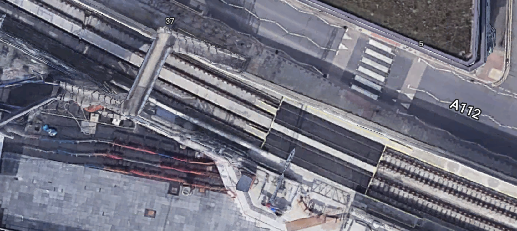
This second map shows the footbridge over the Elizabeth Line from where I took some of the pictures.
Note.
- The bridge has been designed to have lifts added.
- Squeezing a station in here, appears to be just about possible, but it would need a precision design.
- For safety reasons platform-edge doors would be needed.
- I suspect, it would be the first station of its design ever built.
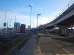
The biggest problem would be the actual building, as it would probably mean closing the railway for at least a few weeks.
Conclusion
This was a station, that should have been built in the first phase of the creation of the Elizabeth Line.

Ideal for filming apocalyptic scenes as looks very quiet.
Comment by Nicholas Lewis | December 28, 2022 |
It wasn’t that quiet, but the Lizzie Line wasn’t running. I saw a few planes going into the airport.
I don’t tend to photograph people on a walk like this, in case they object.
Comment by AnonW | December 28, 2022 |