Heathrow Expansion Could Open The Door To Five Additional UK Routes, According To New Research
The title of this post, is the same as that of this press release from the Heathrow Media Centre.
These three bullet-points act as sub-headings.
- New research identifies Belfast International, Cornwall Airport Newquay, Leeds Bradford Airport, Liverpool John Lennon and Teesside International Airport as most likely to gain Heathrow connections through expansion
- New links could unlock £335m in additional gross tourism spend, boosting trade, investment and jobs. This builds on the estimated £1.2bn in gross tourism spending across the UK from travellers supported by current Heathrow domestic routes
- Regional airports and businesses support this Government’s backing of Heathrow expansion and urge the project to be progressed as fast as possible
This is the first paragraph.
New research by Frontier Economics has identified the UK airports most likely to benefit from new or restored connections to Heathrow, when additional airport capacity is delivered by a third runway.
Surprise surprise! Research paid for by an airport shows more flights to the airport are a good idea after a new runway has been added.
I will look at each airport mentioned in the report in detail.
Belfast International
Belfast International Airport handles nearly seven million passengers a year, as opposed to the 2.5 million passengers that use the smaller Belfast City Airport.
Consider.
- Belfast International has flights to Gatwick, Luton and Stansted.
- I’ve only flown into Belfast twice and it was once to each airport.
- I did fly myself into Belfast City, when I was taking a friend to see Shorts, as he might have bought a Skyvan.
- If I wanted to go, I’d probably go from London City to Belfast City unless say, I was being picked up from Belfast International and perhaps going some distance from Belfast, in which case it would be Gatwick Airport.
- Note that I only travel with a small amount of hand baggage. As an an aside, what do travellers put in their mammoth suitcases?
- The press release talks of Belfast’s growing screen and cultural industries.
I wonder, if Belfast International needs flights from Heathrow, because there is increasing amounts of connecting travellers for Belfast and the aircraft to Belfast City aren’t large enough to carry all the cases.
Cornwall Airport Newquay
Newquay has flights to Gatwick and Stansted.
I’ve only been to Newquay once and I went by train, which I wrote about in Newquay Station – 9/10th February 2024.
- I changed once at Par.
- But soon, if not already, there will be direct trains from Paddington.
- Details on the summer-only Atlantic Coast Express are given on its Wikipedia entry.
- Will there be Pullman Dining, as I experienced on On The 10:45 From Paddington? That journey was the best train breakfast I’ve ever had!
Paddington and Heathrow isn’t a difficult journey to get the train for Newquay.
Leeds Bradford Airport
I used to fly light aircraft and I have friends in aviation. One phrase you regularly hear from pilots is “Time to spare, go by air!”
- Basically, unless you’re flying in a business jet, leave plenty of time.
- Leeds Bradford is a good airport and they did a good job, when I presented them with a problem, that I wrote about in Incident At Leeds.
- If I came into Heathrow, I would probably use Heathrow Express to Paddington and then get the Metropolitan Line to King’s Cross to get to Yorkshire.
- Leeds is also getting a Metro.
- LNER and other train companies are developing their services to the Leeds-Bradford area and there are now services to Bradford, Doncaster, Harrogate, Hull, Leeds, Shipley, Skipton and York.
- Leeds station has two trains per hour to and from London.
- Leeds station has lots of taxis.
Google AI gives this AI Overview of parking at Leeds-Bradford airport.
Parking at Leeds Bradford Airport (LBA) is highly streamlined, offering a range of on-site and off-site options. It features a popular Free 1-Hour Zone for drop-offs, premium options right outside the terminal, and competitive long-stay parking. Pre-booking online is heavily recommended to secure spaces and get the best
I doubt that flying between Heathrow and Leeds Airport will be popular, unless you’re parking at the airport
Liverpool John Lennon Airport
A lot of the things said about Leeds Bradford Airport can be said about Liverpool airport.
But Liverpool already has a comprehensive Metro.
Google AI gives this AI Overview of parking at Liverpool airport.
Parking at Liverpool John Lennon Airport is extremely convenient because all official car parks are located directly on-site within a 1 to 5-minute walk of the terminal building—meaning no shuttle buses are required.
As with Leeds-Bradford Airport, I doubt that flying to Heathrow will be popular, unless you’re parking at the airport
Teesside International Airport
Reading the Wikipedia entry for Teesside International Airport doesn’t give the impression, the airport is not in the best of health.
But this is said about parking on the Teesside International Airport web site.
Teesside Airport parking is situated directly opposite the terminal building.
Wherever you’re coming from for your flight, be it Middlesbrough, Hartlepool or down the road in Darlington, our parking is closer and safer than parking anywhere else to access the airport. It is monitored 24/7 and has been awarded safe parking status by Park Mark.
Dropping off or picking up? There’s free parking for up to two hours when you spend minimum of £5 in our Landside Café or landside terminal shops. Receipt must be shown for validation.
I suspect if you’re going to one of its eight destinations and you want to take your car, then you might use Teesside International Airport.
Although several local stations seem to have good train services to King’s Cross, it does appear that Teesside International Airport could be using parking to attract business with customer-friendly parking.
I have some thoughts.
Do Many Passengers Take A Coach To Heathrow?
Google AI gave this answer, when I asked the question in the title of this section.
Yes, absolutely. Over 5 million passengers take coaches to Heathrow every year.
The airport’s Central Bus Station is one of the busiest coach hubs in the UK, and coaches provide an incredibly popular, cost-effective alternative to trains and taxis.
The main reasons so many travelers choose to take the coach include:
Direct Terminal Access: Coaches drop you off directly at the Heathrow Central Bus Station (for Terminals 2 and 3) or right outside Terminals 4 and 5.
This saves you from dragging heavy luggage through the London Underground or navigating complex rail changes.
Cost-Effective: Advance tickets often start as low as \(£10.50\), making it substantially cheaper than black cabs, airport parking, or premium rail lines like the Heathrow Express.National Connectivity: Coaches connect Heathrow to over 500 locations across the country.
Major hubs like Bristol, Oxford, Cambridge, and Southampton have direct, frequent services without requiring a change in Central London.
Early Morning Travel: Because the airport is a 24-hour operation, many coaches run throughout the night, offering crucial connections before local trains even begin operating.
An alternative at some of these smaller airports could be better coach travel.
Is Anybody Proposing A Small Airliner Powered By Hydrogen Fuel Cells?
I believe a smaller airliner powered by hydrogen fuel cells could suit feeder flights from smaller airports.
Google AI gave this answer, when I asked the question in the title of this section.
Yes, several aerospace companies are actively developing and testing hydrogen fuel cell airliners, ranging from retrofitted commuter planes to clean-sheet regional aircraft.
The leading proposals and active development programs include:
Airbus ZEROe: Airbus is designing a 100-seat regional airliner powered by four 2.4-megawatt hydrogen fuel cell engines.
After verifying the concept’s feasibility, Airbus is currently assembling a 1.2MW powertrain demonstrator for testing, with the aircraft targeted for entry into service in the late 2030s.
ZeroAvia: ZeroAvia is focused on retrofitting existing regional airframes (such as the Dornier 228) with hydrogen-electric engines.
They are currently testing their ZA600 powertrain for 19-seat aircraft and are actively developing larger systems (up to 80 seats) to enter commercial service in the coming years.
.H2Fly: This company focuses on small regional aircraft and has test flights slated for their 4-seat air taxis and larger regional prototypes.
They advocate for starting with smaller planes to avoid the complex infrastructure challenges of larger models.
Beyond Aero: They are developing “ONE,” a hydrogen-electric business aircraft designed specifically for executive travel, aiming to reduce both costs and carbon emissions compared to traditional jet fuel.
Hopefully, hydrogen fuel cell powered aircraft will be quiet.
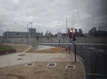
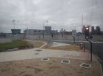
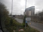
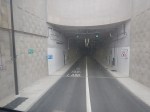
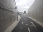
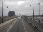
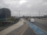
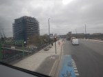
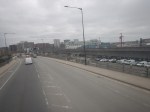
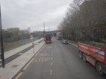
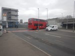
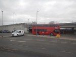
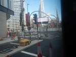
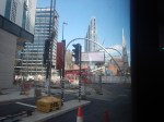
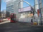
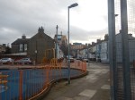
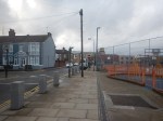
A Return Journey Through The Silvertown Tunnel On A 129 Bus
This morning, I did a return journey through the Silvertown Tunnel on a 129 bus.
These pictures summarise the journey.


Note.
- I started at Pontoon Dock station on the Docklands Light Railway.
- The Pontoon Dock bus stop is difficult to find at the moment, as they are landscaping the bus stops to incorporate a cycle lane.
- The 129 bus stops at Gallions Reach, London City Airport, Pontoon Dock and West Silvertown stations on the Docklands Light Railway.
- I turned round at North Greenwich station.
- I finished my journey at London City Airport.
- The bus route turns round at Lewisham.
This could be a very useful cross river route, if you live close to the 129 bus route.
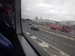
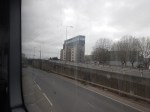
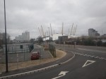
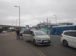
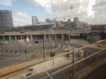
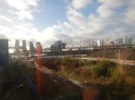
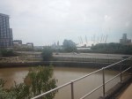
Silvertown Tunnel Works – 15th March 2025
I did two runs on the Docklands Light Railway past the Silvertown Tunnel Site.
These pictures were taken on the run to City Airport.


And these were taken on the return to Canning Town station.


The tunnel certainly looks to be on course to open on April 7th.
City Airport May Help Others To Take Flight
The title of this post, is the same as that of this article on The Times.
This is the sub-heading.
The government’s decision to lift the cap on permitted passengers at London City airport is a compromise that could be a template for future growth
These are the first two paragraphs.
Planning decisions always upset someone. Still, credit to housing secretary Angela Rayner and the transport supremo Louise Haigh for annoying all sides with one of the first from the new Labour government: allowing London City airport to lift its cap on permitted passengers a year to nine million from the present 6.5 million.
Their verdict hacked off Newham council, which has long opposed the airport’s expansion, leaving it “deeply concerned” over the noise impact on local residents. It angered environmental campaigners, with Greenpeace saying it’d “undermine the UK’s climate leadership”. And it even “disappointed” the airport’s boss, Alison FitzGerald, who wanted an end to the 24-hour flight curfew from 12.30pm on Saturday but failed to get it pushed out to 6.30pm.
The government seem to have chosen a good compromise that has annoyed several parties.
The article goes on to argue, that we should make the best use of the thirty regional airports in the UK.
So shouldn’t the priority be to utilise regional capacity better, via airline and airport incentives if necessary, to minimise journey times to airports and spread the noise and air pollution around? Only then should ministers consider big new projects.
That seems very sensible to me.
Consider.
- Technology will bring us quieter and more environmentally-friendly aircraft, that will benefit those near the airport.
- Electric aircraft are closer to service entry than you think.
- Good public transport links to an airport, would surely cut car usage for both passengers and employees.
- Bus networks to many airports could be improved and made more attractive to passengers, by using modern electric or hydrogen buses. Even Gatwick is taking this route!
- Cranbrook station and Exeter Airport were supposed to have a bus link, but nothing has happened.
- Several airports are near main railway lines and it would be possible to build a station. It will be interesting to see how passenger traffic at the new Inverness station develops.
- East Midlands, Edinburgh, Glasgow, Leeds/Bradford and Liverpool Airports are larger regional airports, that are close, but not directly connected to the rail network.
- Carlisle and Exeter Airports don’t have the best of websites. Humberside sets a good standard.
- Doncaster Sheffield Airport has everything except a rail link and scheduled services.
Some of these improvements are not major and would surely be worthwhile, especially with a small amount of compromise.
Manchester For The Weekend By Air?
For some weeks now, Manchester has been advertising itself as a weekend break on the giant advertising screen over Silicon Roundabout.


The adverts also seem to be backed by British Airways and are advertising flights from London City Airport.
Perhaps, these are in response to Avanti West Coast’s problems?
Silvertown Tunnel Bus Network Proposals
This web page is the Silvertown Tunnel Bus Network Proposals.
These proposals are made.
- A new high frequency, limited stop service between Grove Park and Canary Wharf referred to in this consultation as route X239
- To extend route 129 (Lewisham – North Greenwich) north across the river to Great Eastern Quay via the Royal Docks development zone
- A minor change to route 108 so that it uses the new Millennium Way slip road to exit the Blackwall Tunnel southbound
- We are also seeking your views on route options for three sections of routes 129 and X239.
It looks like route 108 will continue to use the current stop.
The proposals include this map.
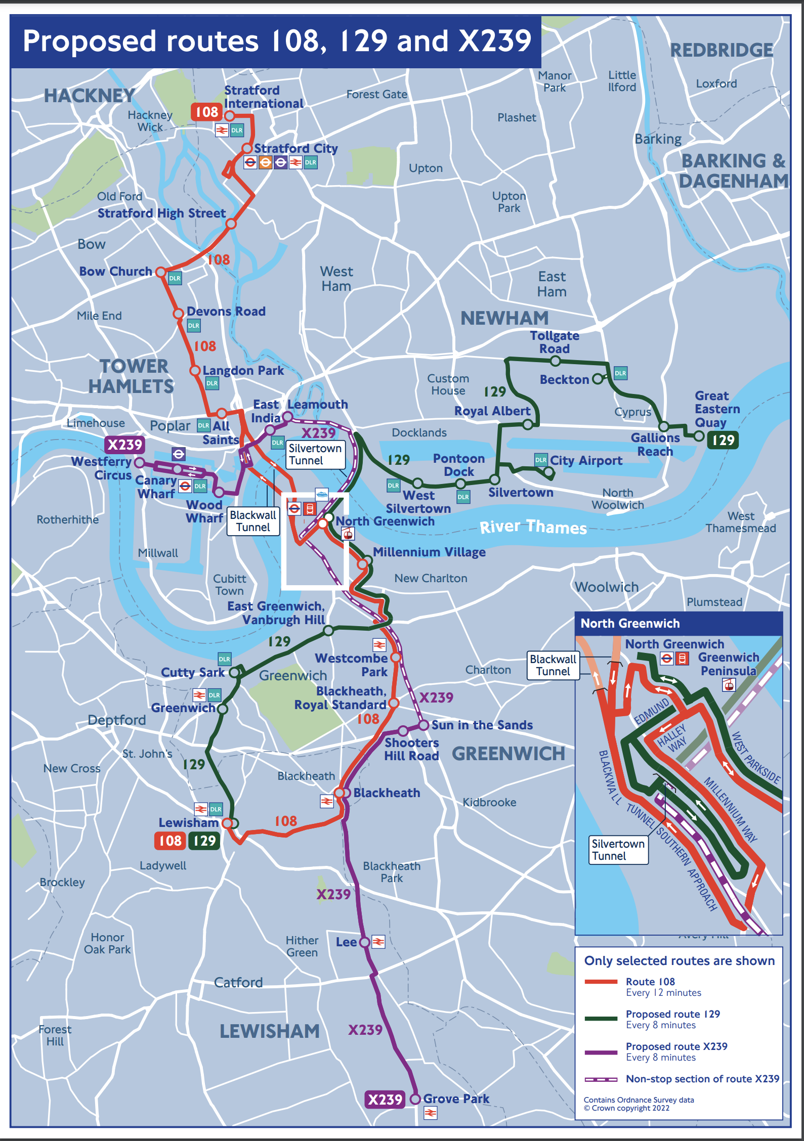
I copied this map from the TfL web site, as they don’t provide one for people who want or need to use it.
These are my observations.
The 108 Bus
The 108 seems to be more or less as now and will be continue to be run by a single-decker bus, as double-decker buses can’t use the Blackwall Tunnel.
North of the Thames, the 108 calls at these stations.
- Stratford International for DLR and National Rail.
- Stratford for DLR, Central, Elizabeth and Jubilee Lines, and National Rail.
- Bow Church for DLR
- Devons Road for DLR
- Langdon Park for the DLR
- Bazely Street (All Saints) for DLR
South of the Thames, the 108 calls at these stations.
- North Greenwich for the Jubilee Line.
- Westcombe Park for National Rail
- Blackheath for National Rail
- Lewisham for DLR and National Rail
Note.
- It is possible to go between Lewisham and Stratford on the DLR with a change at Canary Wharf.
- It is possible to go between North Greenwich and Stratford on the Jubilee Line.
- Westcombe Park station is on the Greenwich Line.
I would wonder, if many people use this bus route for long distances.
The 129 Bus
Note.
- The 129 appears to connect Lewisham and Greenwich to the City Airport and the Becton branch of the DLR.
- Many journeys on the 129 bus, might be easier using the DLR, with a change at Westferry or Poplar, which is probably what travellers do now.
- The 129 bus is shown on the map with a stop at Silvertown. Does that mean that it could connect with a Silvertown station on the Elizabeth Line?
- As the 129 bus will pass through the larger Silvertown Tunnel, it could be a double-decker route, instead of the current single-decker.
North of the Thames, the 129 calls at these stations.
- Gallions Reach for the DLR
- Beckton for the DLR
- Royal Albert for the DLR
- London City Airport for the DLR
- Silvertown
- Pontoon Dock for the DLR
- West Silvertown for the DLR
South of the Thames, the 129 calls at these stations.
- North Greenwich for the Jubilee Line.
- Cutty Sark for DLR
- Greenwich for DLR and National Rail
- Lewisham for DLR and National Rail
Would improvements and a frequency increase to the DLR and the building of Silvertown station, mean that changes to the 129 bus route, would not be so important?
The X329 Bus
Note.
- Canary Wharf must be served and starting at Westferry Circus is probably a good choice.
- But is Grove Park station, the ideal Southern terminal?
- Not stopping the X329 bus at North Greenwich is probably correct, as North Greenwich station is a large Jubilee Line and bus interchange close to the O2.
North of the Thames, the X329 calls at these stations.
- Canary Wharf for DLR and Elizabeth and Jubilee Lines
South of the Thames, the X329 calls at these stations.
- Blackheath for National Rail
- Lee for National Rail
- Grove Park for National Rail
Note.
- Blackheath station is on the Bexleyheath and North Kent Lines.
- Lee station is on the Dartford Loop Line.
- Grove Park station is on the South Eastern Man Line.
- Grove Park has a bus station, where there could be space for a battery charger for electric buses.
The X329 seems to have been partly designed on the premise, that an express bus should be run through the Silvertown Tunnel. But it does connect four of the rail lines going into London terminals to Canary Wharf.
Silvertown Station For London City Airport
Silvertown station would more than double the number of stations with easy routes to the London City Airport.
The Elizabeth Line would enable the direct connection that is needed to Canary Wharf, the City of London, Heathrow, Liverpool Street and Paddington stations and the West End.
- A single change at Abbey Wood, would give access to much of Kent.
- A single change at Farringdon, would give access to Thameslink services and Gatwick and Luton airports.
- Around 2030, a single change at Old Oak Common, would give access to High Speed Two services.
- A single change at Paddington, would give access to Wales and West services.
- A single change at Whitechapel, would give access to the great circle of the London Overground.
I believe the case for a Silvertown station with at least a good walking route to the London City Airport is strong, and the station would be a marvellous asset for Silvertown and the Airport.
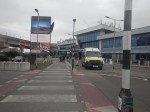
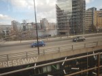
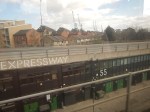
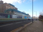
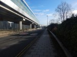
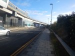
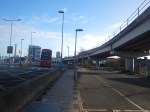
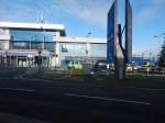
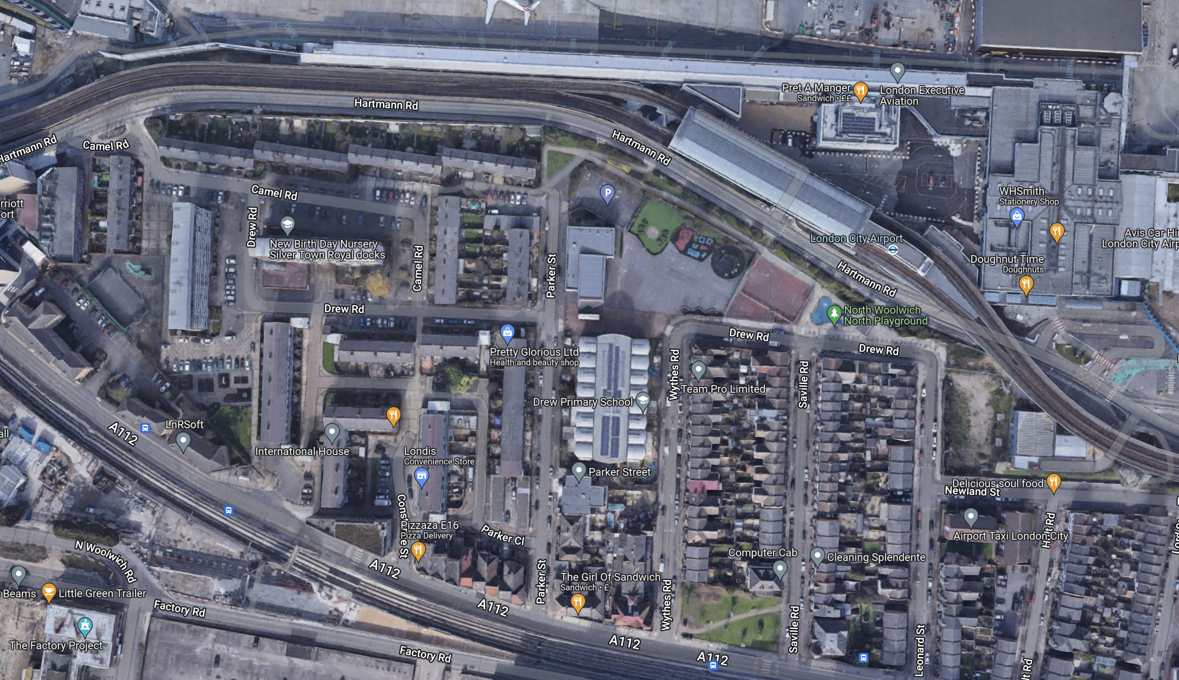
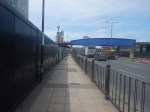
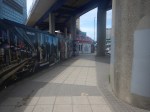
The Southern Entrance To London City Airport
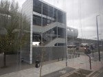
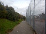
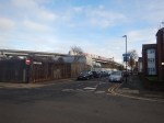
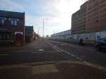
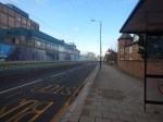
I entered London City Airport by a different route today, taking these pictures as I walked.

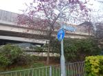


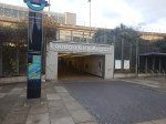
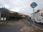

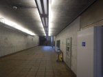


Note.
- The route is level.
- It is on the Southern side of Hartmann Road, which is the main entrance road for the airport.
- There is a pedestrian tunnel under Hartmann Road into the airport.
- There are stairs and lifts into the Docklands Light Railway station at the airport.
- The lifts so all the way to the platforms of the DLR.
- The route is level from the lifts to the airport.
This Google Map shows the walk.
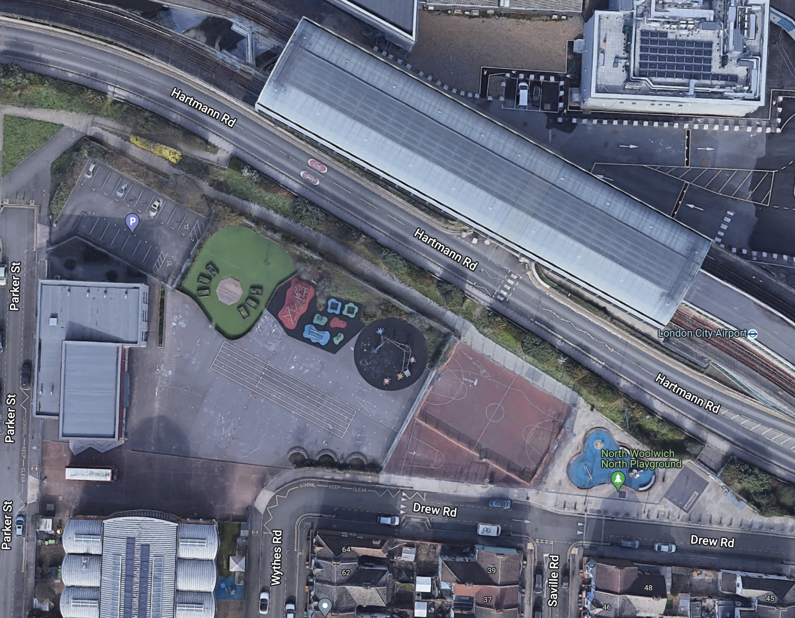
Note.
I walked along the path, that runs NW-SE on the Northern side of the various courts and playgrounds.
The entrance to the DLR station is at the South-East end of the path at the junction of Drew and Saville Roads.
This Google Map shows a 3D visualisation of the entrance.
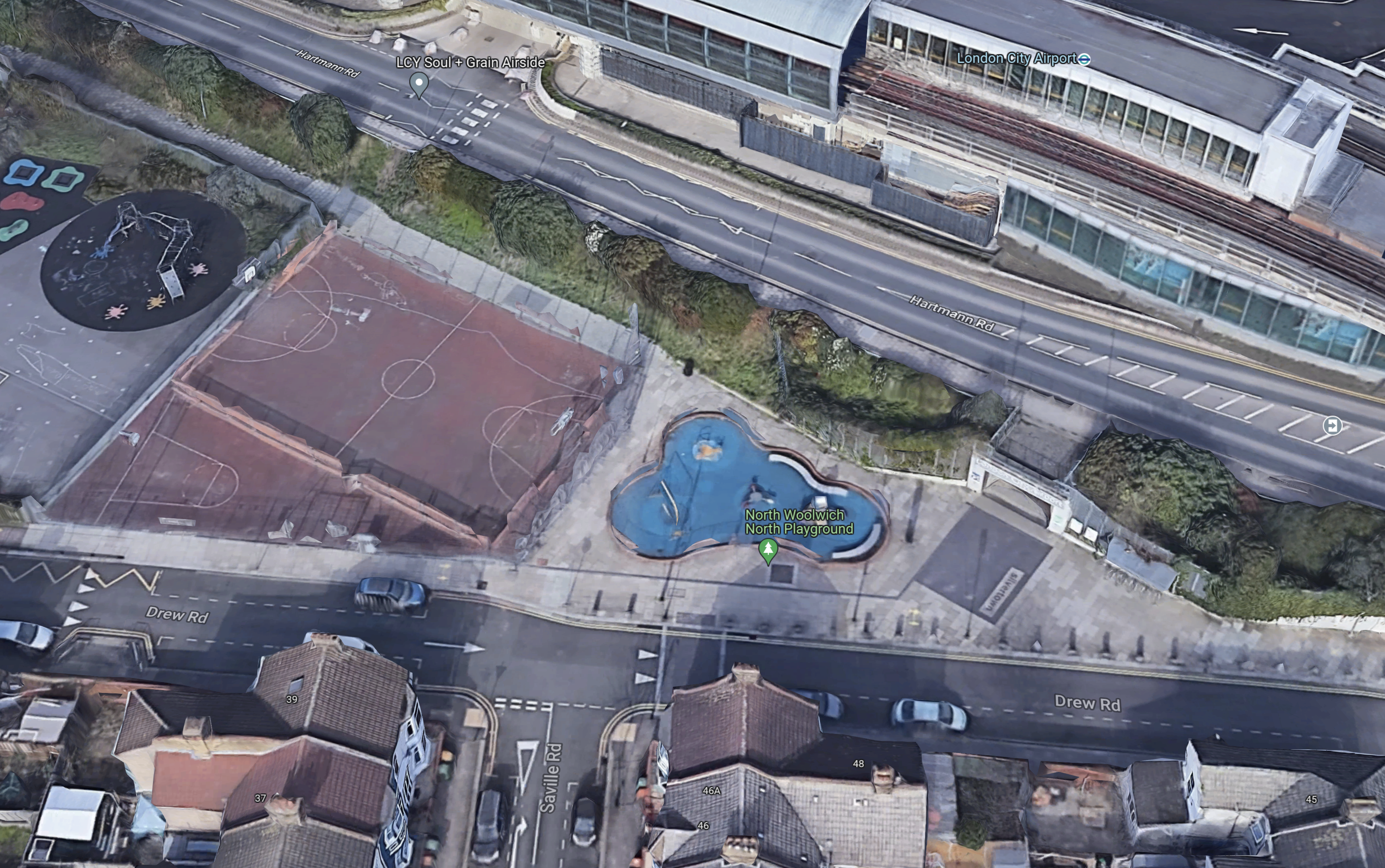
Note.
- The path runs on the North side of the football pitch.
- The Southern entrance is to the right of blue play area.
- Drew Road runs across the entrance.
- It looks like there is a drop-off point for passengers, where the car is parked by the football pitch.
Would it be possible to create a waking route from this Southern entrance to a rebuilt Silvertown station on the Elizabeth Line?
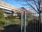
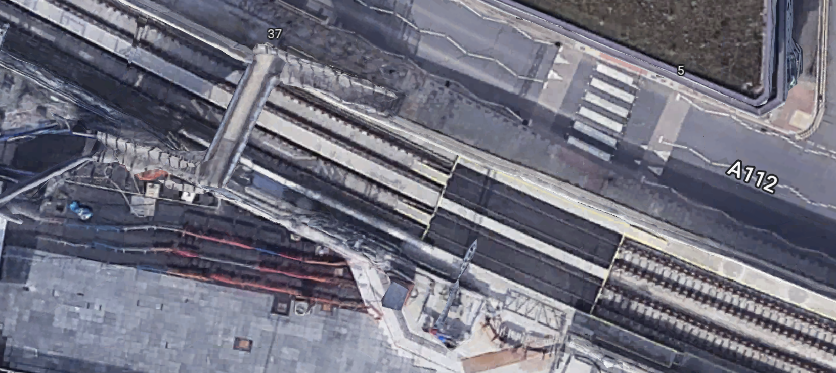
This Google Map shows the area between the Southern entrance to the airport and the footbridge over the Elizabeth Line.
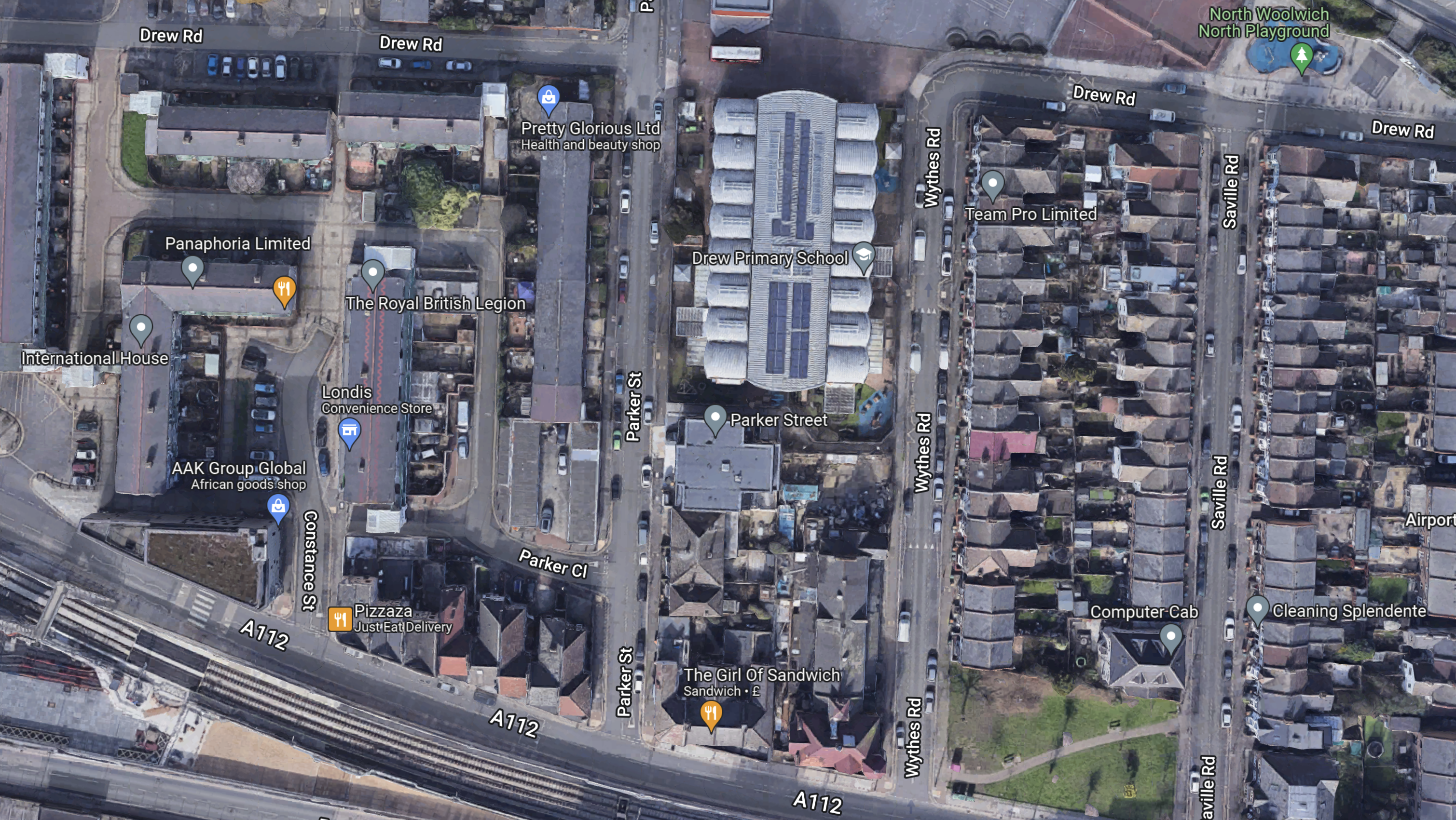
Note.
- The Southern entrance to the airport is in the North-East corner of the map.
- The footbridge over the Elizabeth Line is in the South-West corner of the map.
- The large building in the middle is Drew Primary School.
- Whytes Road, Saville Road and Leonard Street lead between the Southern entrance to the airport and the A112.
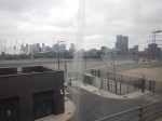
I took these pictures of the A112 and the footbridge a few days ago.


I think it would be possible to run a fleet of small electric shuttle buses on the route.
Elizabeth Line Trains From Silvertown Station
Currently, the following trains pass through the site of the original Silvertown station.
- Reading and Abbey Wood stopping at Twyford, Maidenhead, Taplow, Burnham, Slough, Langley, West Drayton, Hayes & Harlington, Southall, Ealing Broadway, Paddington, Bond Street, Tottenham Court Road, Farringdon, Liverpool Street, Whitechapel, Canary Wharf, Custom House and Woolwich.
- Maidenhead and Abbey Wood stopping at Taplow, Burnham, Slough, Langley, Iver, West Drayton, Hayes & Harlington, Southall, Ealing Broadway, Paddington, Bond Street, Tottenham Court Road, Farringdon, Liverpool Street, Whitechapel, Canary Wharf, Custom House and Woolwich.
- Heathrow Terminal 4 and Abbey Wood stopping at Heathrow Terminals 2 & 3, Hayes & Harlington, Southall, Hanwell, West Ealing, Ealing Broadway, Acton Main Line, Paddington. Bond Street, Tottenham Court Road, Farringdon, Liverpool Street, Whitechapel, Canary Wharf, Custom House and Woolwich.
- Heathrow Terminal 5 and Abbey Wood stopping at Heathrow Terminals 2 & 3, Hayes & Harlington, Southall, Hanwell, West Ealing, Ealing Broadway, Acton Main Line, Paddington, Bond Street, Tottenham Court Road, Farringdon, Liverpool Street, Whitechapel, Canary Wharf, Custom House and Woolwich.
Note.
- All four services have a frequency of two trains per hour (tph).
- Paddington, Bond Street, Tottenham Court Road, Farringdon, Liverpool Street, Whitechapel, Canary Wharf, Custom House and Woolwich have a frequency of eight tph.
- Heathrow Terminals 2 & 3 has a frequency of two tph and it has extra connections to Heathrow Terminal 4 and Heathrow Terminal 5.
The number of services will increase in May 2023.
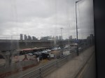
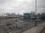
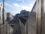
A Walk From London City Airport Through Silvertown To The Elizabeth Line
I went for a walk from London City Airport, this morning.
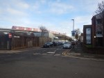


This Google Map shows the area between London City Airport and the Elizabeth Line.
Note.
- The airport is just off the map at the top.
- A plane is partially visible in the middle.
- The Docklands Light Railway runs across the map from the top-left corner, through the station for the airport.
- The Elizabeth Line runs across the map from the middle of the left hand side.
- The blue dots alongside the Elizabeth Line are bus stops.
- The bus stop, that is shown in the third picture, is marked by the rightmost blue dot.
- I estimate it’s about a three-hundred metre walk between Railway and the airport.
This second map shows the footbridge over the Elizabeth Line from where I took some of the pictures.
Note.
- The bridge has been designed to have lifts added.
- Squeezing a station in here, appears to be just about possible, but it would need a precision design.
- For safety reasons platform-edge doors would be needed.
- I suspect, it would be the first station of its design ever built.
The biggest problem would be the actual building, as it would probably mean closing the railway for at least a few weeks.
Conclusion
This was a station, that should have been built in the first phase of the creation of the Elizabeth Line.
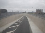
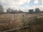
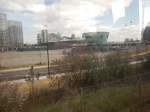
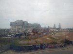
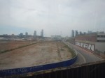
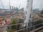
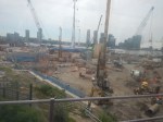
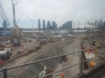
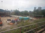
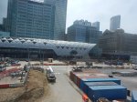
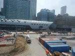
Construction Has Started On The Silvertown Tunnel
These pictures show that construction has started on the Silverton Tunnel.


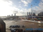

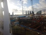
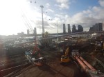


Note that New Civil Engineer is reporting that tunnelling has started.
My Current Thoughts On The Silvertown Tunnel
In 2015, I wrote No To Silvertown Tunnel, which I started with these two paragraphs.
My personal feelings about the Silvertown Tunnel are that it is irrelevant to me, except that it might help some trucks bring goods that I buy online or at a local shop. Although as a sixty-eight year-old-widower living alone, I don’t think my transport needs through the tunnel will be high.
I don’t drive after my stroke and I like that lifestyle, except when last night it took me three trains, a coach and a taxi to get back from watching football at Ipswich. But that tortuous late night journey was caused because NuLabor spent my tax money on pointless wars that will haunt us for generations, rather than in extending and renewing our rail system, that will nurture and enrich our future.
But my objections to the Silvertown Tunnel have changed and expanded.
New Transport Infrastructure Attracts Passengers
This may seem obvious, but there has been several cases recently in London to prove my point.
- The London Overground has been a success beyond Transport for London’s wildest dreams and as an example the North London Line, that started with three x three-car trains per hour (tph) is now running eight x five-car tph. This is a four time increase in capacity.
- New buses and contactless ticketing have encouraged more passengers to use the buses.
- Electrification and new trains has transformed the Gospel Oak to Barking Line.
- The expansion of Thameslink and new trains now carries a lot more North-South traffic through London.
- Every time, a new section of the Elizabeth Line opens more passengers are attracted to the new line.
- The remodelling of London Bridge station has increased passenger numbers. And shoppers!
On a personal note, I live on a bus corridor, that runs between North London and Moorgate for the Lizzie Line. Since the Lizzie Line has been fully connected, passenger numbers have risen by a big margin.
I don’t believe that the ability to attract more traffic of the Silvertown Tunnel will be any different.
More Traffic Means More Congestion And Pollution
I live close to the Balls Pond Road, which increasingly seems to be a truck route across North London.
The Silvertown Tunnel will be two lanes each way; one for trucks and buses, and one for smaller vehicles.
I can’t see that pollution and congestion around the Silvertown Tunnel and on the routes to the tunnel, will not increase.
There Is Little Or No Provision For Cyclists And Pedestrians
This will be a big problem. Especially, as the local traffic in the area will increase dramatically.
Does Central London Have Enough Parking For The Increased Traffic?
Parking in Central London is probably close to capacity now!
So What Would I Do?
Given that construction has already started, I feel it is too late to cancel.
Better Alternatives Than Driving
I feel measures should be adopted that provide better alternatives than driving.
Obviously, this won’t help with trucks, but it could reduce the total number of vehicles going through the tunnel.
These could include.
- Increase the frequency of trains on both the Lizzie Line and Thameslink.
- Increase the number of destinations on both the Lizzie Line and Thameslink.
- Add an extra car to Lizzie Line trains.
- Remove First Class on the shorter eight-car Thameslink trains.
- Add provision on some Lizzie Line and Thameslink routes for bicycles.
- Add a Silvertown station to the Elizabeth Line for London City Airport.
- Add one or more pedestrian and cycling bridges across the Thames.
- Expand of the Docklands Light Railway.
- Expand the Thames Clipper.
- Connect Barking Riverside station to Thamesmead and Abbey Wood station either by a rail or a fast ferry.
- Keep the cable-car.
I suspect there are other viable ideas.
Develop Incentives To Use Public Transport
Incentives could be in these areas.
- Better station and bus terminals encourage more to use trains and buses.
- Full free onboard wi-fi and phone charging.
- Special fares for some journeys.
An example of the latter could be a discount for certain cross-river journeys.
Make The Silvertown Tunnel Available For Zero Carbon Vehicles Only
This would surely cut pollution in London.
Conclusion
We should use the Silvertown Tunnel to improve London’s air quality.
Using The Elizabeth Line Between London City And Heathrow Airports
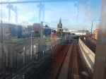
Today, I went from London City Airport to Heathrow using the Docklands Light Railway, the underground section of the Elizabeth Line and Heathrow Express.
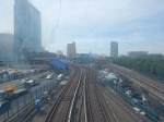
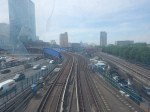
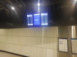
London City Airport And Poplar Stations
I took these pictures on this section of the route using the Docklands Light Railway.
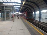


Note.
- I started my journey at 13:15.
- I arrived at Poplar at 13:27.
- The journey took twelve minutes, which agrees with the timetable.
This is a route, that gives a view of London’s rebuilding in the East.
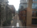
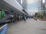
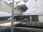
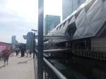
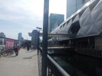
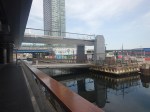
Poplar And Canary Wharf Stations
I walked this section.

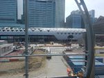

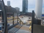


Note.
- I started my walk from Poplar station at 13:27.
- I was on the platform at Canary Wharf station at 13:39.
- I used a lift at Poplar station and the escalators at Canary Wharf station.
- The walk took twelve minutes, but it was a roundabout route.
- It looks like a level walkway is to be built between the two stations.
This Google Map shows the are between the two stations.
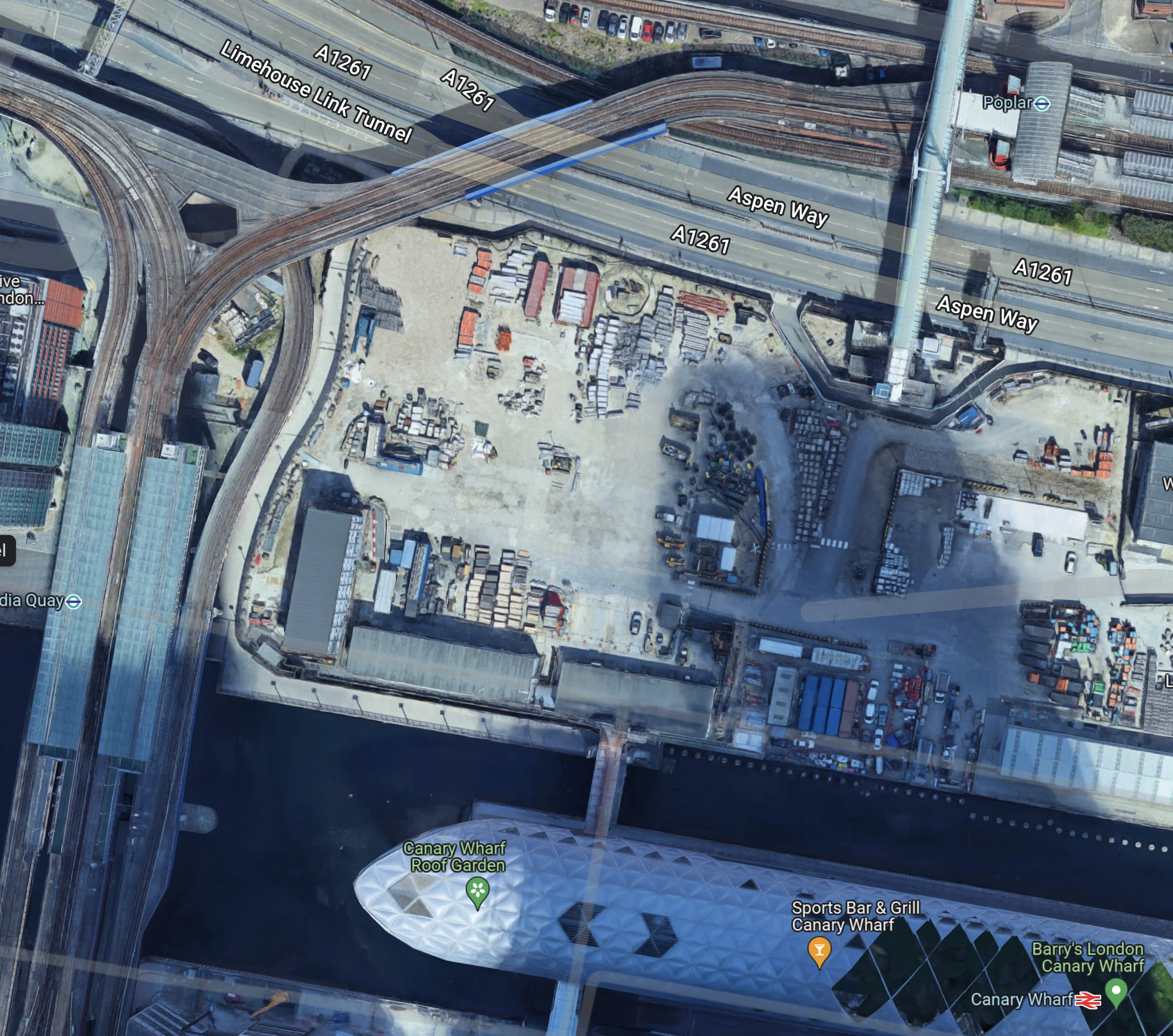
Note.
- Poplar station in the North-East of the map.
- The bridge at Poplar station, that provides the route I took over Aspen Way.
- After crossing the bridge and using the lift, I walked along the South side of Aspen Way.
- I then walked South down the path at the East side of the site, where it appears from the hoardings, flats will be built.
- Finally, I turned left to walk along the dock and then right to cross into Canary Wharf station.
Work appears to have started at Canary Wharf on the Southern end of an extended walkway, that will link to the bridge over Aspen Way.
This direct route could be nearly two hundred metres shorter and would shorten the connection by several minutes.
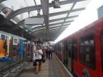
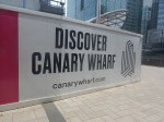
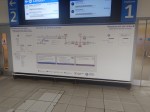
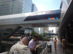
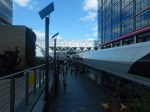
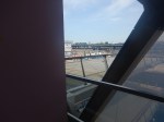
Canary Wharf And Paddington Stations
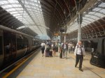
This section of the journey took nineteen minutes and I arrived at Paddington at 13:58, as this picture shows.
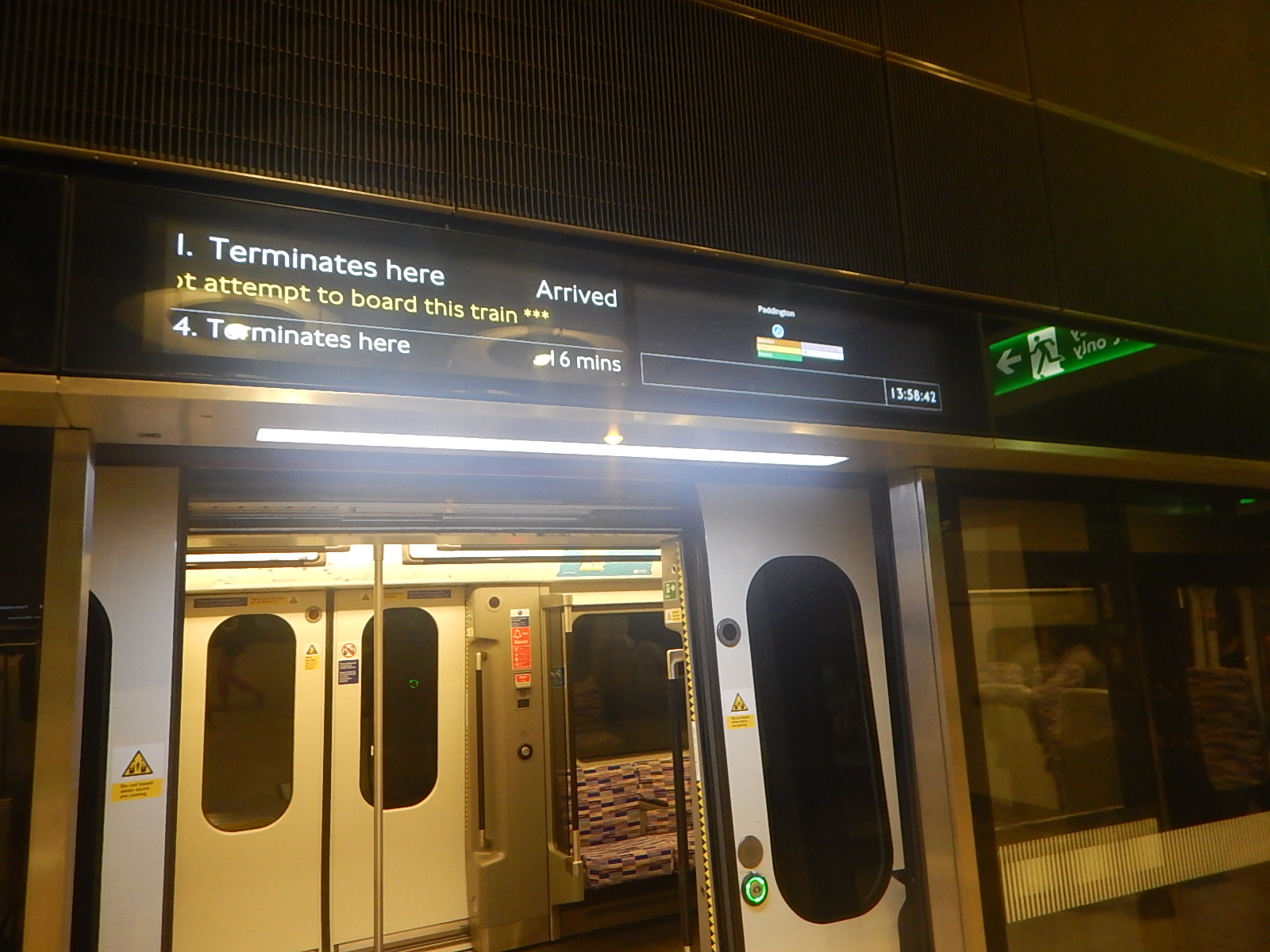
It had taken forty-three minutes between London City Airport and Paddington stations.
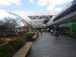
Paddington And Heathrow Airport By Heathrow Express
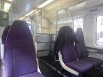
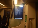
I took the 14:10 Heathrow Express to the Airport and took these pictures.


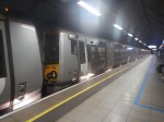

Note.
- It took about six minutes to walk between the Elizabeth Line and Heathrow Express.
- This was my first ride on Heathrow Express, since the service has started using Class 387 trains.
- The trains are fine, but where are the tables, that I like so much in the other Class 387 trains?
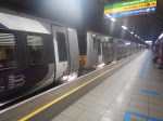
- The train arrived at Heathrow Central at 14:29.
This meant my journey between the two airports had taken an hour and fourteen minutes.
Canary Wharf to Heathrow using Heathrow Express and the Elizabeth Line had taken thirty-four minutes.
Return To Paddington On The Elizabeth Line
I came back from Heathrow on an Elizabeth Line train, which took 29 minutes.
That would mean that today using the Elizabeth Line to Heathrow.
- Heathrow and Canary Wharf will take 48 minutes.
- Heathrow and London City Airport will take one hour and twenty-nine minutes.
The difference in time between the two trains is solely down to the times of the Heathrow Express and the Elizabeth Line trains between Paddington and Heathrow.
What Difference Will A Direct Elizabeth Line Connection Make?
Canary Wharf are giving a figure of thirty-nine minutes between Canary Wharf and Heathrow, when the Elizabeth Line fully opens.
This would appear to indicate that fully opening the Elizabeth Line connection at Paddington will save nine minutes and the Elizabeth Line will only be a few minutes slower than Heathrow Express, if you can cut out the change at Paddington.
This table compares times between Canary Wharf and Heathrow.
- Elizabeth Line with a change at Paddington – 48 minutes
- Elizabeth Line and Heathrow Express with a change at Paddington – 34 minutes
- Elizabeth Line direct – 39 minutes
How many passengers will swap from Heathrow Express to a complete Elizabeth Line?
Is There Going To Be A Pedestrian Bridge Between Poplar And Canary Wharf Stations?
This Google Map shows the bridge that leads South from Canary Wharf station.
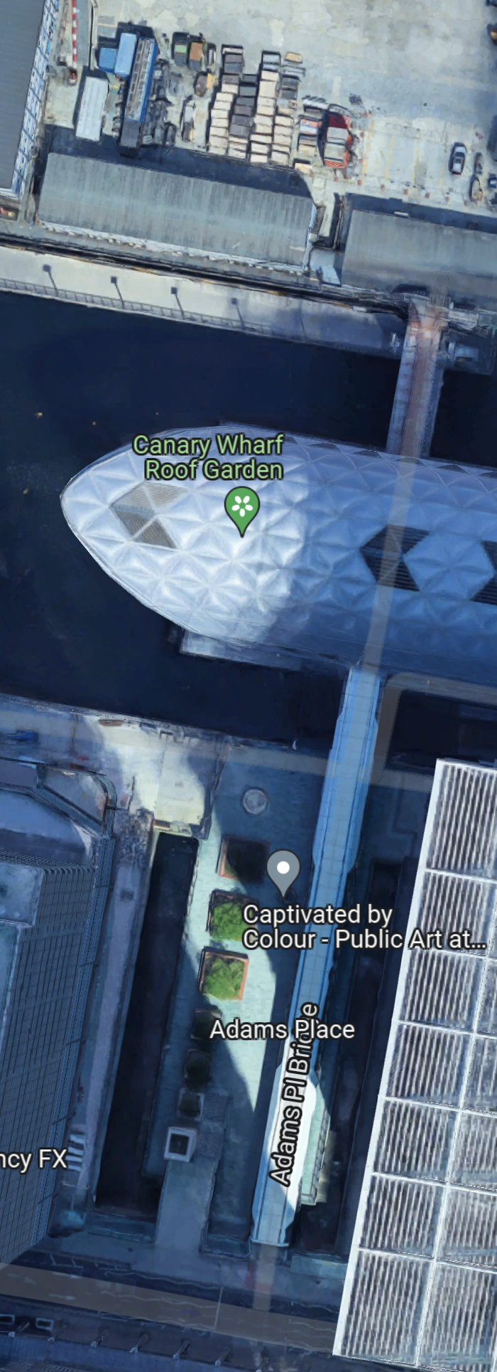
Note how the bridge could have been designed to go through the station to the housing to the North and perhaps ultimately to Poplar DLR station.
These pictures show the complete bridge on the South side and what could be the start of construction on the North side.


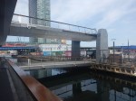


Note.
- This pictures were taken on two dates.
- A full bridge would connect the new housing to the shopping centre and the Jubilee Line station.
- Between Poplar and Canary Wharf stations would be around 120 metres.
- There would be a straight and level walking route between Poplar DLR station and the two Canary Wharf Jubilee and Elizabeth Line stations.
- A short branch would lead to Canary Wharf DLR station.
- Stairs would lead to the buses that run through Canary Wharf.
It does appear that the North and South bridges will form a continuous straight route.
The bridge would create a comprehensive transport interchange for East London.
