Could High Speed Two Have An Underground Station In London?
The Achievement Of The Bank Station Upgrade
This map from OpenRailwayMap shows the lines through Bank and Monument stations.
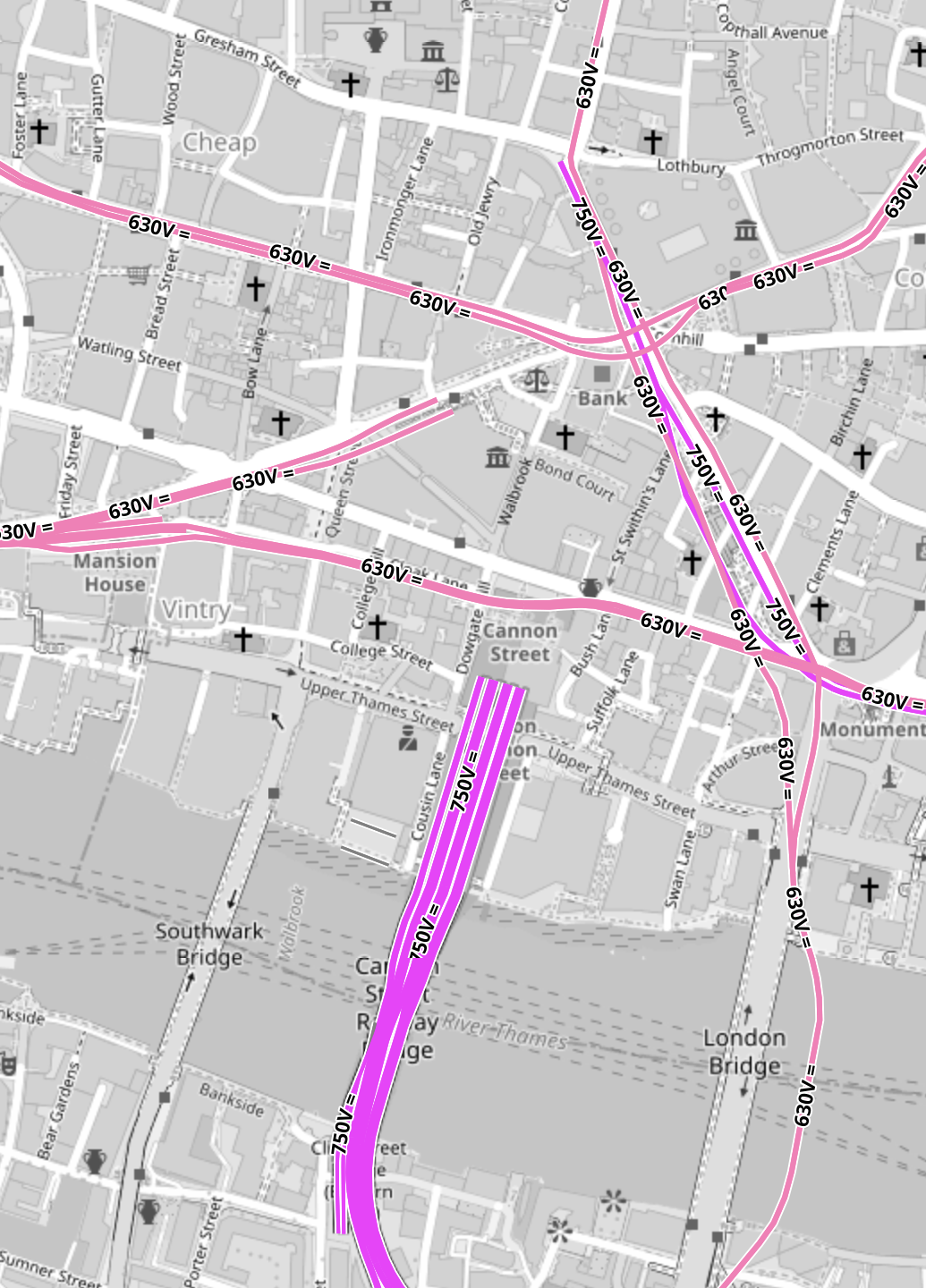
Note.
- All the pink lines are the lines of the London Underground.
- The line running alongside London Bridge is the Northern Line, which is deep under the Thames.
- The mauve lines are those with the slightly higher voltage of the UK National Rail network going into Cannon Street station.
In part of the Bank Station Upgrade, a new Southbound tunnel for the Northern Line was dug, so that the Northern Line platforms at Bank station could be farther apart.
This visualisation shows the station.
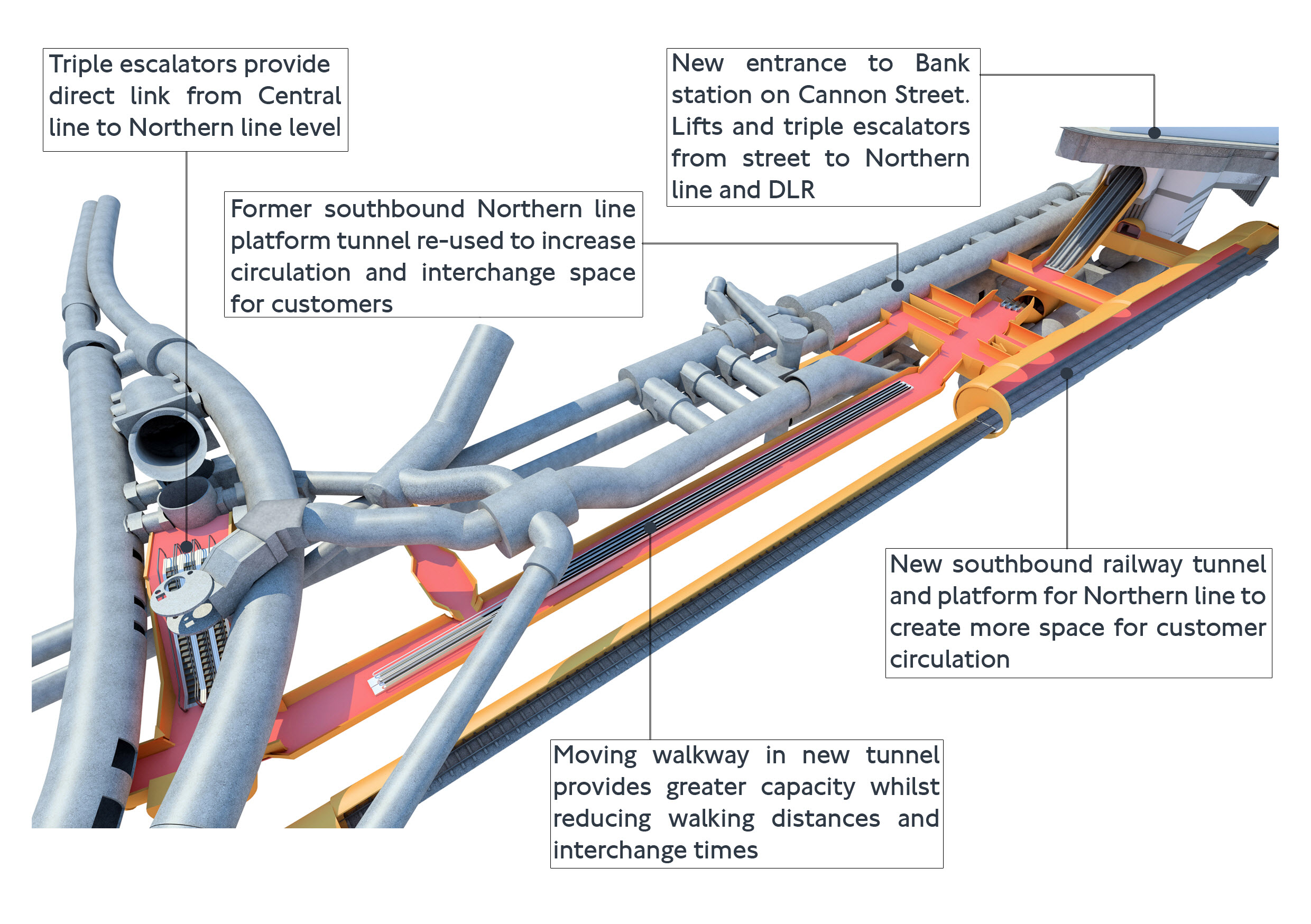
The project was an amazing demonstration of what is possible to be achieved in underground construction.
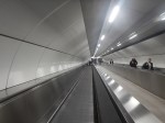
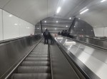
- There is a moving walkway to move passengers between the Central and Northern Lines.
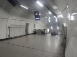
- There are escalators and lifts everywhere.
It was also dug out from London’s helpful soils under scores of important buildings, many of which are listed.
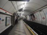
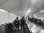
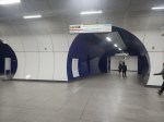
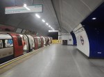
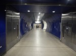
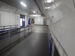
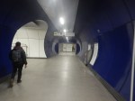
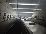
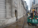
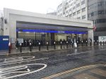
These pictures give a flavour of the underground section of the completed upgrade.


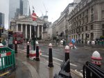
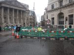
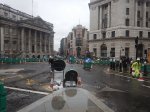
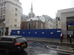
These pictures show the buildings on top of the complex.
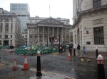
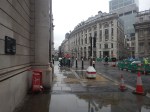
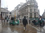


Note.
- There is no building of any great height above the station complex.
- There are a lot of quality buildings.
- During all the work underground, I didn’t see any reports of any problems with the buildings on top.
- In How Many Entrances And Exits Does A Station Need?, I counted that the complex now has twenty entries.
It is probably a project that could be repeated elsewhere.
Camden Town, Holborn and Bond Street/Oxford Circus are probably suitable cases for treatment.
Weston Williamson’s Plan For Manchester Piccadilly Station
In The Rival Plans For Piccadilly Station, That Architects Say Will ‘Save Millions’, I wrote about Weston Williamson’s plan for Manchester Piccadilly station.
This was their visualisation.

Note.
- In the visualisation, you are observing the station from the East.
- The existing railway lines into Piccadilly station are shown in red.
- Stockport and Manchester Airport are to the left, which is to the South.
- Note the dreaded Castlefield Corridor in red going off into the distance to Oxford Road and Deansgate stations.
- The new high speed lines are shown in blue.
- To the left they go to Manchester Airport and then on to London, Birmingham and the South, Warrington and Liverpool and Wigan, Preston, Blackpool, Barrow-in-Furness, the North and Scotland.
- To the right, they go to Huddersfield, Bradford, Leeds, Hull and the North East, and Sheffield, Doncaster and the East.
- Between it looks like a low-level High Speed station with at least four tracks and six platforms.
- The Manchester Metrolink is shown in yellow.
The potential for over-site development is immense. If the Station Square Tower was residential, the penthouses would be some of the most desirable places to live in the North.
Londoners Are The Tunnel Kings
Bring On The Robots
Could High Speed Two Have An Underground Station In London?
Look at this map from OpenRailwayMap.
Note.
- Euston station is in the North-West corner of the map.
- St. Pancras and King’s Cross stations can just be seen at the top of the map.
- All lines shown in red have 25 KVAC overhead electrification.
- All lines shown in pink are the London Overground.
- The double track electrified railway meandering across the map from West to East is the Elizabeth Line.
- The pink line going down the middle of the map is the Piccadilly Line.
- The pink line going down the left of the map is the Charing Cross branch of the Northern Line.
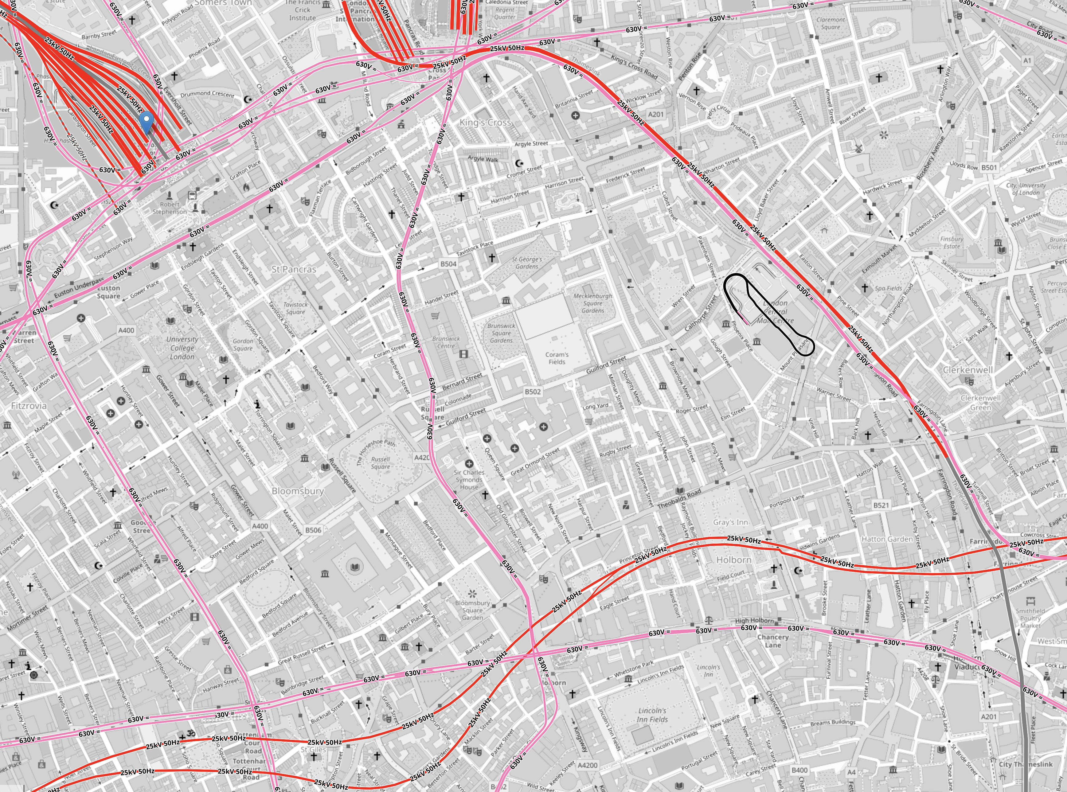
There is a large square area to the South of Euston that doesn’t have any railways crossing it.
It is shown in this map from OpenRailwayMap.
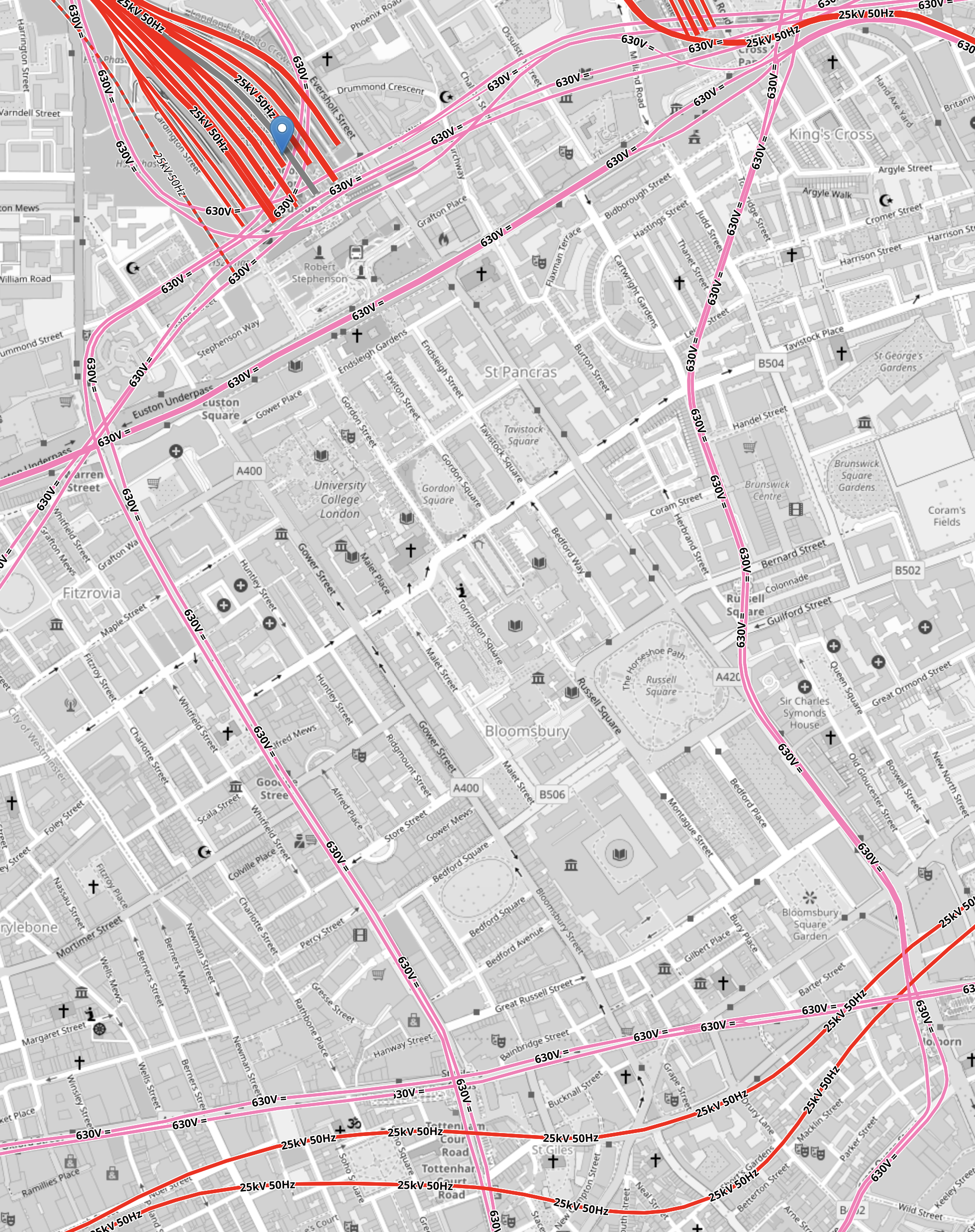
Note.
- As before, red lines have 25 KVAC overhead electrification and pink lines are the Underground.
- The Western boundary of the area is the Charing Cross branch of the Northern Line, which runs between Euston in the North and Tottenham Court Road in the South.
- The Eastern boundary of the area is the Piccadilly Line, which runs between King’s Cross in the North and Holborn in the South.
- The Northern boundary of the area is the sub-surface Circle, Hammersmith & City and Metropolitan Lines, which runs between Warren Street in the West and King’s Cross in the East.
- The Northern and Victoria Lines also run East-West to the North of the sub-surface lines.
- The Southern boundary of the area is the Central and Elizabeth Lines, which run between Tottenham Court Road in the West and Holborn in the East.
It is a substantial area.
So could it be hollowed out to create a below-ground London terminal for High Speed Two?
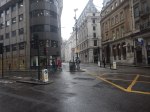
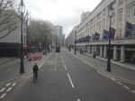
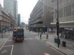
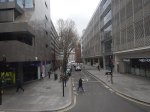
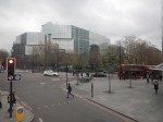
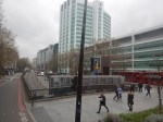
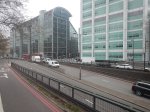
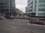
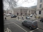
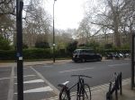
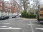
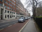
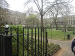
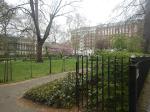
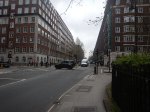
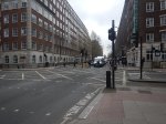
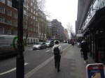
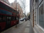
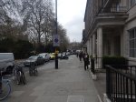
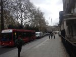
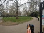
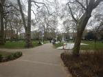
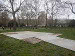
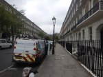
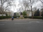
I got a bus from Tottenham Court Road to Euston station and then walked to Holborn, taking these pictures.
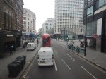
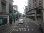
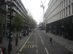
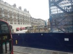
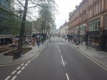
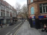
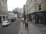
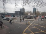
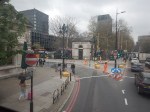


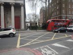
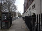


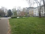
Note.
- There are only two buildings in the area with more than about six floors; University College Hospital and Senate House.
- There a lot of green spaces.
- Bloomsbury Square does have a car park beneath it.
I wonder if a terminal station could be build under the area?
- I suspect if you went fifty metres down there could be plenty of space, that could be excavated.
- Tunnels with moving walkway and escalators could link the station to the Central, Circle, Elizabeth, Hammersmith and City, Metropolitan, Northern and Piccadilly Lines.
- There would be space to have 400 metre long platforms.
- As all trains would be electric, there would be no fume problems.
- There could be lifts and escalators to the green spaces on the top.
I have a feeling that most of people living or working inside the North and South Circular Roads could get to the station by public transport with at most a single change.

I always liked Buro Happold’s Cross City Connect proposal which you featured before.
The other suggestion, fanciful but glorious, is for a station under Smithfield meat market.
Comment by Matthew | April 21, 2023 |
HS2 in an underground station? It’ll never happen. Got to wait years for it to reach Euston first.
Comment by Maurice Reed | April 21, 2023 |