Unlocking Euston Station
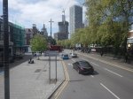
I dread using Euston station.
The connections to the London Underground in the station, involve a long walk to or from your train and then outside the station to.
- The Northern and Victoria Lines just outside the station.
- The sub-surface lines at Euston Square station, which is a long walk.
There is no connection to the Lizzie Line.
I have probably written more project management software, than any other individual in the world.
Good project managers and probably a few bad ones too, talk about getting all your ducks in a row or doing everything in the right order.
If High Speed Two is going to terminate at Euston, then the first sub-project must be to connect Euston station properly to the Metropolitan, Circle and Hammersmith & City or sub-surface lines of the Underground, which have new spacious air-conditioned trains and run on a line that is digitally signally, so the capacity can be easily increased.
The sub-surface lines also link, the National Rail stations of Liverpool Street, Moorgate, Farringdon, King’s Cross, St. Pancras, Euston, Paddington, Victoria, Charing Cross and Blackfriars, and could be connected to Fenchurch Street and Marylebone. It also has links to the Lizzie Line.
Improve the interchanges and this marvelous Victorian system could unlock London’s transport system like no other.
Five years ago, a similar arrangement to that at St. Pancras was proposed with subways under Euston Road that linked to extended platforms at Euston Square Underground station, by means of lifts and escalators.
Why has this new link between National Rail at Euston and sub-surface Underground not been built? I estimate that it would have taken a couple of years and have fitted in with all the work being done in front of Euston station.
The current Mayor never mentions the project, but then it is a North London project, so it doesn’t interest him and his supporters.
The Design Of The Updated Euston Underground Station
Ian showed this visualisation of the updated Euston Underground station.
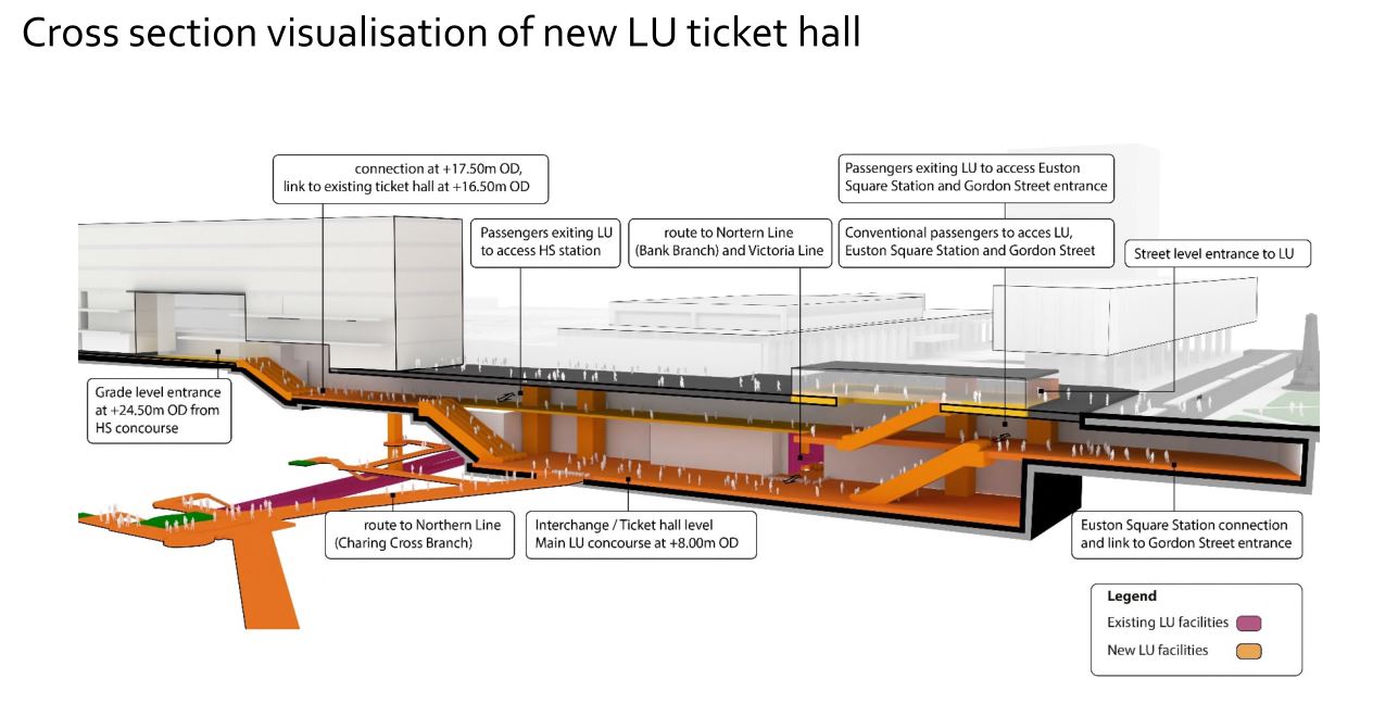
At a first look, it appears to be a very similar concept to the entrance to the Underground in front of St. Pancras station.
Click on the image to show it large and you can pick out the following.
- West is to the left and East is right.
- Much of the construction appears to replace the original car park and taxi rank.
- The upper level looks like where passengers enter and leave the station.
- The subway to Euston Square station and the new Gordon Street entrance joins to the upper level towards the Eastern end.
- There is grade access between the upper level and the High Speed Two concourse.
- There are lots of escalators to travel between levels. The square orange columns could be lift towers.
- The lower level is the Interchange/Ticket Hall level.
- The lower level is not much higher than the Charing Cross branch of the Northern Line.
- The design seems to make clever use of levels to make changing easier.
- The access between the lower level and the Charing Cross branch of the Northern Line at the Western end of the station, appears to be comprehensive and step-free.
- The access between the lower level and the Victoria Line and the Bank branch of the Northern Line, appears to use the current route, which will probably be upgraded to be fully step-free.
This second image shows the design from above the platforms of the conventional section of Euston station.
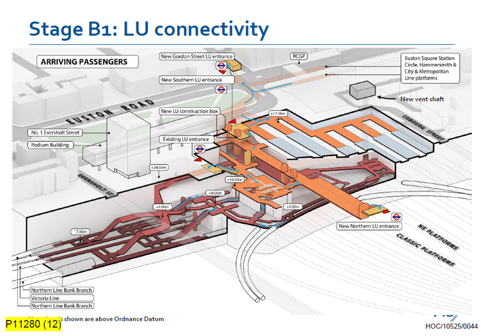
Click on the image to show it large and you can pick out the following.
- The complicated passages, escalators and lifts of the existing four platforms serving the Bank branch of the Northern Line and the Victoria Line.
- The cross passage connecting these lines to the platforms of the Charing Cross branch of the Northern Line.
- The two up and two down escalators leading to the existing ticket hall.
- The Charing Cross branch of the Northern Line curving in and away from the station. See the earlier map of the Underground lines.
- The eleven High Speed platforms on the West side of the station.
- The thirteen Classic platforms on the East side of the station.
- The new Northern entrance to the Underground between the two sets of platforms. How convenient!
- There appears to be a wide passage between the Northern and Southern entrances, with connections to the lines branching off.
- The subway to the new Gordon Street entrance is shown at the top of the image.
The design seems to have separated access to the two branches of the Northern line, by creating a new high-capacity route to the Charing Cross branch.
I also think, that the design allows the station to be built without disrupting passengers using the Underground and the current Euston station.
- A large hole for the station can be excavated, without touching existing access.
- It could then be fitted out section by section.
- Once the new access to the Charing Cross branch of the Northern Line is complete, the current access to the Northern and Victoria Lines can be refurbished.
Arriving At Euston
Imagine you are a passenger arriving from the North, who knows the Underground line, you need to take, you would then enter the Underground station using the new Northern entrance.
- For the Bank branch of the Northern Line or the Victoria Line, you would go through the existing ticket hall and down the escalators, much as you do now! Except that you’d enter the ticket hall on the other side from the East side of the passageway connecting the two entrances. New lifts appear to be shown.
- For the Charing Cross branch of the Northern Line, you would take the passages, lifts and escalators on the West side of the passageway connecting the two entrances.
- If you wanted the sub-surface lines, you would just keep going and take the new subway, which connects to the Eastern ends of the platforms at Euston Square station.
It will certainly do me fine, if I arrive at Euston, as I’ll walk through the subway and get in the front of any Eastbound train for Moorgate station, where being in the front is convenient for the exit and the nearby bus stop to my home.
This route will surely be one of the ways arriving passengers at Euston will get Crossrail to Abbey Wood, Canary Wharf and Shenfield stations. In Crossrail – Northern – Northern City Interchange At Moorgate Station, I show some visualisations of Moorgate station and the connectivity.
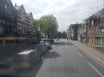
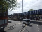
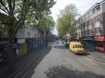
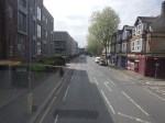
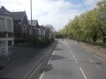
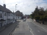
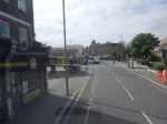
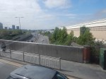
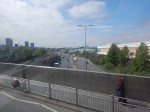
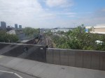
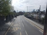
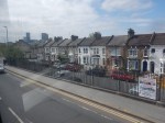
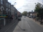
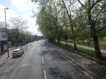
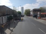
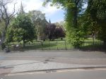
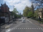
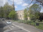
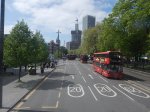
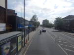
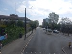
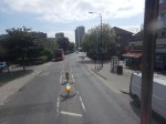
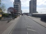
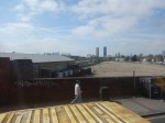
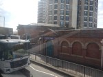
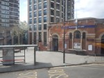
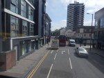
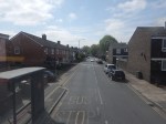
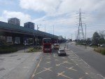
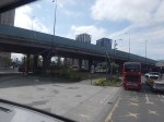
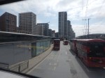
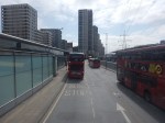
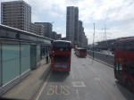
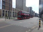
Between Walthamstow Central And Canning Town Stations On A 69 Bus
I have a feeling, that the 69 bus route, which currently runs between Walthamstow Central and Canning Town stations, could be usefully extended to become.
- A new route through the Silvertown tunnel.
- A formal connection between the Eastern ends of the Victoria and Jubilee Lines
- Part of Superloop
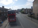
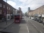
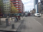
I took these pictures from the front of the top deck.


Note.
- I was sitting at the front of the bus on the right side of the top deck.
- Walthamstow Central station is served by the Victoria Line and the London Overground.
- The 69 bus runs every few minutes.
- Walthamstow Central station has a well-connected modern bus station.
- Leyton Midland Road station is on the Gospel Oak to Barking Line.
- The Leyton Engineer appears to be a beautifully restored pub.
- The six-lane A12 East Cross Route is crossed on a bridge just before Leyton station.
- Leyton station is on the Central Line.
- Maryland station is on the Elizabeth Line.
- The Great Eastern Main Line and the Elizabeth Line are crossed on a bridge at Maryland station.
- The prominent church is St. John’s, Stratford.
- Plaistow station is on the Metropolitan Line.
- Canning Town station is on the Jubilee Line and is a hub for the Docklands Light Railway.
- Canning Town station is suffering a degree of refurbishment at the moment and is a bit of a nightmare on foot at the moment.
The 69 bus route connects eight railway stations and at least eight railway lines.
The roads are generally wide and there are more trees than in other parts of London.
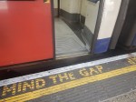
Are There Any Plans For The Bay Sub-Surface Platforms At Moorgate Station?
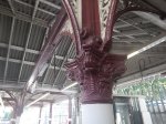
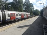
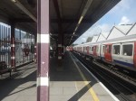
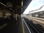
I use Moorgate station regularly, as there’s a Leon Restaurant just outside the station, that looked after me properly during the Covid-19 Pandemic, so when I’m in the area and need feeding I pop in.
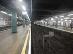
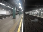
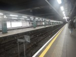
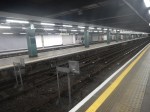
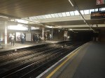
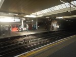
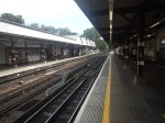
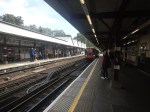
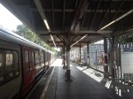
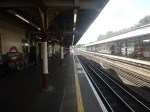
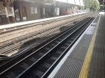
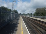
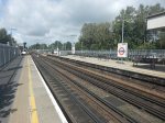
These pictures show the four bay platforms on the Sub-Surface lines.
Note.
- The pair of platforms to the left or South are numbered 5 and 6 and used to handle Thameslink trains, that ran to Moorgate station.
- Platforms 5 and 6 used to be electrified with 25 KVAC overhead wires.
- The pair of platforms to the right or North are numbered 3 and 4 and are used to terminate some Metropolitan Line services at Moorgate station.
- Platforms 3 and 4 are electrified with London Underground four-rail electrification.
- The number for Platform 4 can clearly be seen.
This map from cartometro shows the track layout in Farringdon, Barbican and Moorgate stations.
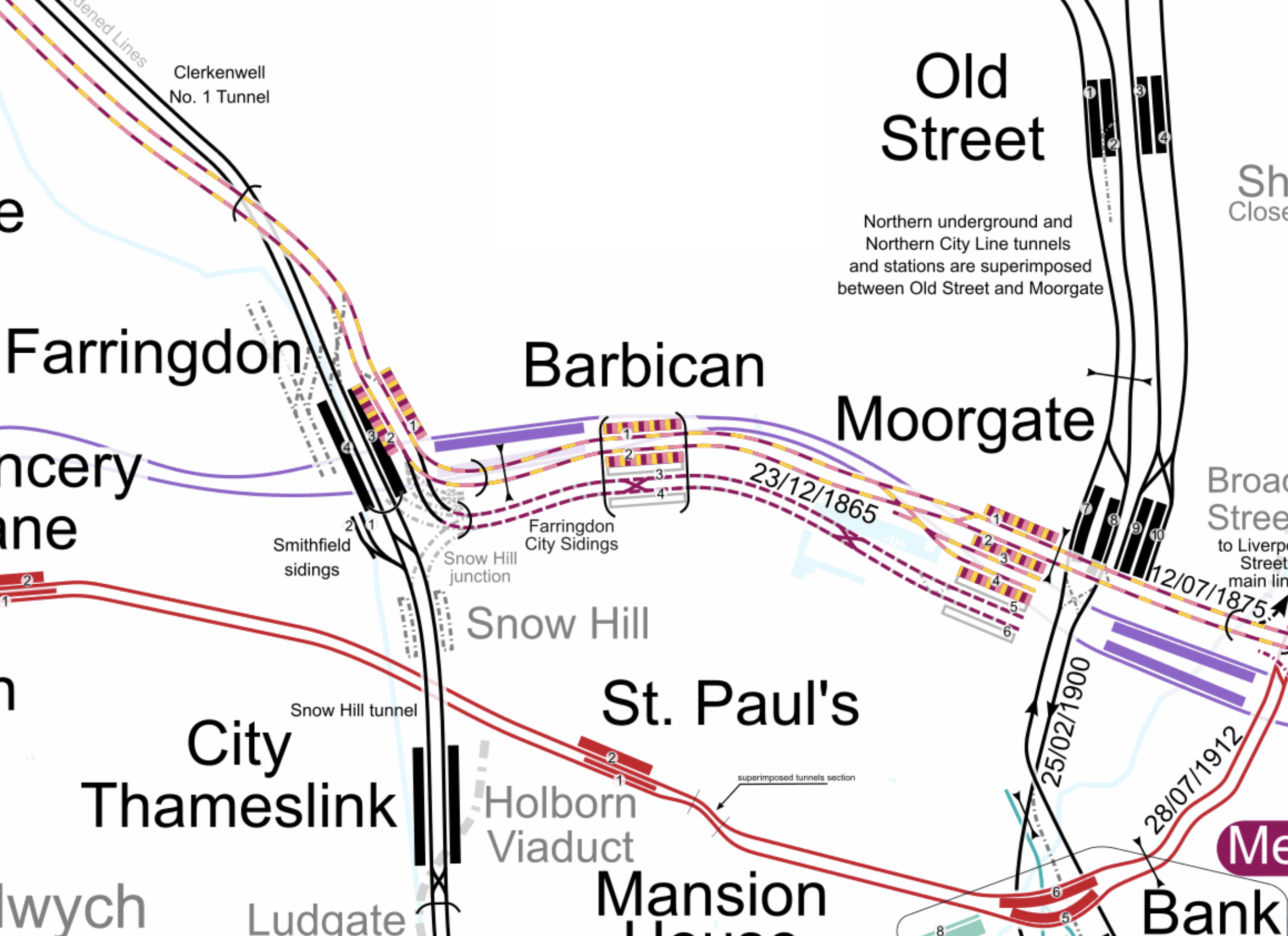
Note.
- The multi-coloured tracks and platforms of the Metropolitan, Circle and Hammersmith & City Lines running through Platforms 1 & 2 at Farringdon, Barbican and Moorgate stations.
- The multi-coloured tracks and platforms of the Metropolitan, Circle and Hammersmith & City Lines terminating in Platforms 3 & 4 at Moorgate station.
- The purple tracks and platforms of the Elizabeth Line running underneath the Metropolitan, Circle and Hammersmith & City Lines and their stations.
- The maroon and white tracks and platforms of Thameslink running through Platforms 3 & 4 in Barbican station and terminating in Platforms 5 & 6 at Moorgate station.
- The black tracks of Thameslink running through Farringdon and City Thameslink stations.
- It would appear there used to be two junctions to allow trains from Moorgate to go North through Farringdon station or South through City Thameslink station.
- The Thameslink tracks have two useful crossovers.
- The black tracks of the City branch of the Northern Line running through Old Street, Moorgate and Bank stations.
- The black tracks of the Northern City Line running through Old Street station and terminating in Moorgate station.
- The red tracks of the Central Line running through Chancery Lane, St. Paul’s and Bank station.
Because of the layout of the various tracks new connections and improvements may be possible.
Extending The Northern City Line To Bank Station
In Walking Along Moorgate – 30th September 2020, I describe some of the possibilities opened up by the design of Moor House, which has been built to allow more tunneling underneath.
I believe two extensions South from Moorgate station would be possible.
- It was intended by the builders of the Northern City Line, to take the route to just North of Bank station at Lothbury.
- Has The Possibility Been Created For A Pedestrian Tunnel Between Bank And Moorgate Stations?
Note.
- As the extension to Bank station has dug tunnels all over the place, I would expect that the engineers on that project would have a good idea on the best way to connect Moorgate and Bank stations.
- I usually use the Northern Line between Moorgate and Bank stations, but sometimes the Northern Line is rather crowded.
- The Northern City Line is being resignalled and may have an increased number of trains, so more passenger capacity may be needed.
- If a new station were to be built at Lothbury, it might be possible to improve step-free access to the Northern City Line.
- A new station on the Northern City Line and a pedestrian tunnel could connect to the newly-installed travelator at Bank station.
There are certainly serious possibilities to improve connections between Moorgate and Bank stations.
Could Metropolitan Line Trains Be Turned At Moorgate Station?
Currently, there are eight trains per hour (tph) between Aldgate and Uxbridge in the Off Peak.
With the new signalling on the Sub-Surface Lines would it allow more trains to operate, if some Metropolitan Line services were terminated in Platforms 3 & 4 at Moorgate station.
Would It Be Worthwhile To Run Thameslink Trains Again Into Moorgate Station?
It would only need to terminate trains from the North, as trains from the South can terminate at Black friars Station.
Perhaps a two tph service from a convenient station would suffice.
A Pedestrian Connection Between City Thameslink Station And St. Paul’s Tube Station
I covered this in A Pedestrian Connection Between City Thameslink Station And St. Paul’s Tube Station.
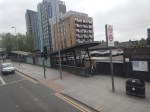
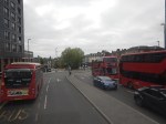
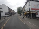
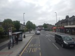
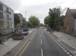
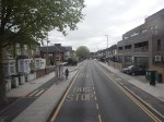
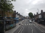
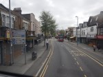
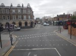
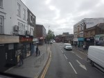
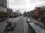
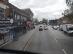
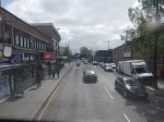
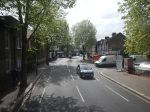
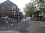
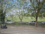
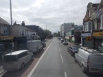
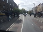
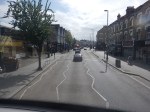
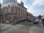
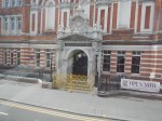
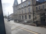
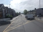
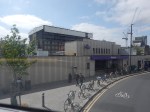
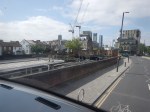
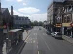
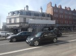
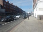
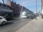
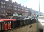
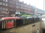
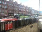
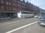
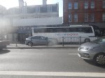
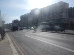
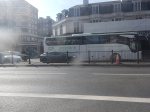
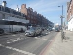
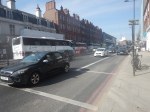
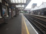
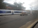
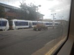
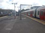
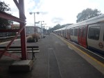
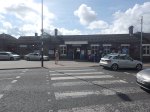
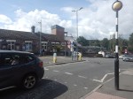
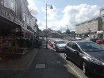
Coach Chaos At The Finchley Road Coach Stop On A Sunday Lunchtime
I went to Finchley Road coach stop at lunchtime today and took these pictures.


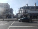

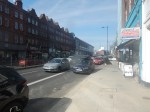
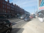
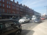
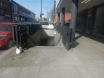
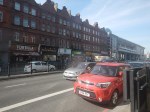


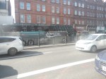
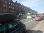


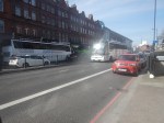
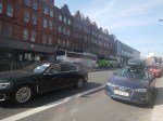


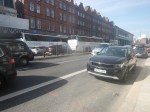


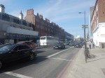
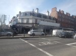


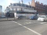
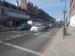
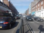
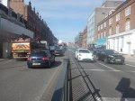
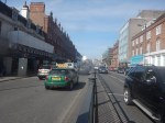

Note.
- Finchley Road coach stop is on the Finchley Road, just to the North of Finchley Road tube station.
- The Finchley Road coach stop is lavelled CL.
- Not all coaches stopped at the Finchley Road coach stop.
- I did see a double-deck coach taking visitors to the Harry Potter Attraction pass through ar Victoria Coach station and the Finchley Road.
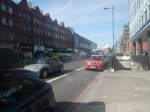
- There is a pedestrian subway under Finchley Road.
- There is a second stop for Southbound coaches on the other side of the Finchley Road.
- There are a few tatty shops along the pavement selling snacks, coffee, tea and other travellers needs.
- In the early pictures note, the large number of travellers queuing along the pavement in front of those shops.
- It looks like a lot of those travellers, were waiting for the Flixbus.
- The Flixbus stayed parked for several minutes.
- Finchley Road tube station is not step-free.
- Finchley Road tube station is served by the Metropolitan and Jubilee Lines.
I took most of the pictures from the opposite site to the Northbound coach stop, as the pavement was rather crowded.
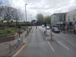
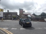
This Google Map shows Finchley Road, the tube station and the coach stop.
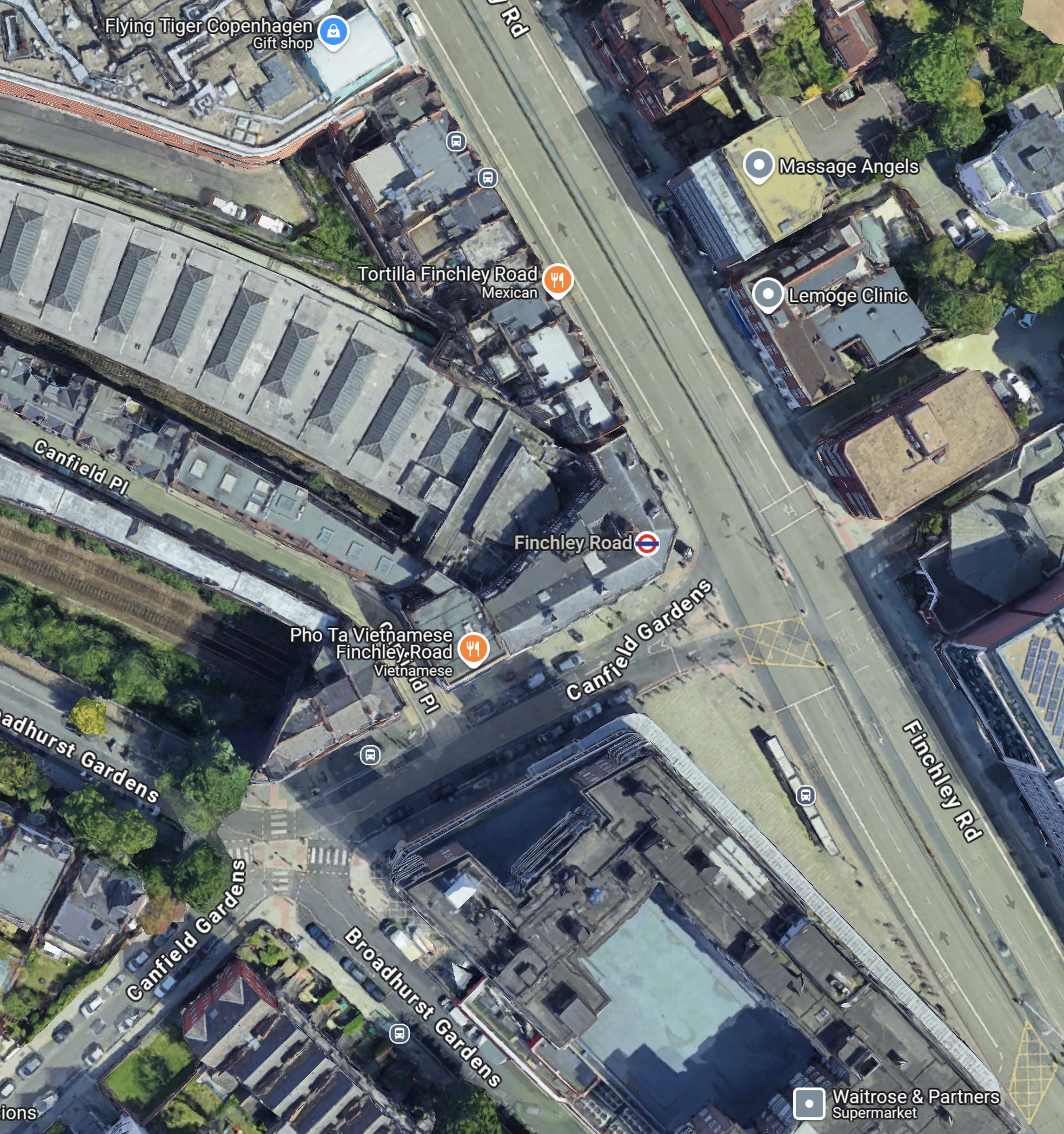
Note.
- The Finchley Road is the dual-carriageway road.
- The two grey dots at the Northend end of the Finchley Road, indicate the Coach stop and to its North a bus stop.
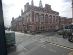
- The larger orange dot indicates the Tortilla restaurant, which is visible in several of the pictures.
- The London Underground roundel indicates Finchley Road tube station.
- The building curving away to the North-West is the train shed for the four platforms of Finchley Road tube station.
South of Finchley Road tube station, is a large Waitrose in the old John Barnes building.
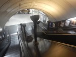
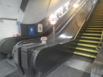
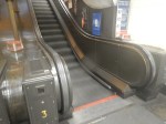
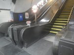
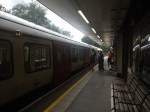
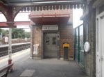
This pictures show some of the Train to Street access at Finchley Road station.
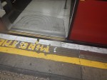
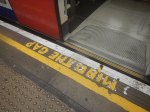
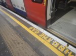
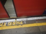
Note.
- There is a high step out of the Jubilee Line trains.
- The steps from platform to the street are steep with a heavy case or a baby in a buggy.
But it’s a long time, since I’ve done any travelling with a baby.
I have some further thoughts.
Travelling With Heavy Luggage, In A Wheelchair Or A Baby Buggy
It might be better to take a 13 or 113 bus to Finchley Road tube station, as the stop is just South of the station and no more than fifty metres from the Finchley Road coach stop.
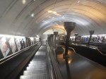
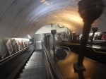
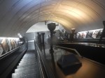
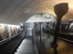
You could even get the bus from Swiss Cottage station, which is the next station South from Finchley Road and has a complete set of traditional escalators with uplighters.
Note.
Why The Elizabeth Line Must Be Extended To Ebbsfleet International
There are various plans to link the Elizabeth Line to Ebbsfleet International.
In Elizabeth Line To Ebbsfleet Extension Could Cost £3.2 Billion, I showed this map from the Abbeywood2Ebbsfleet consultation.
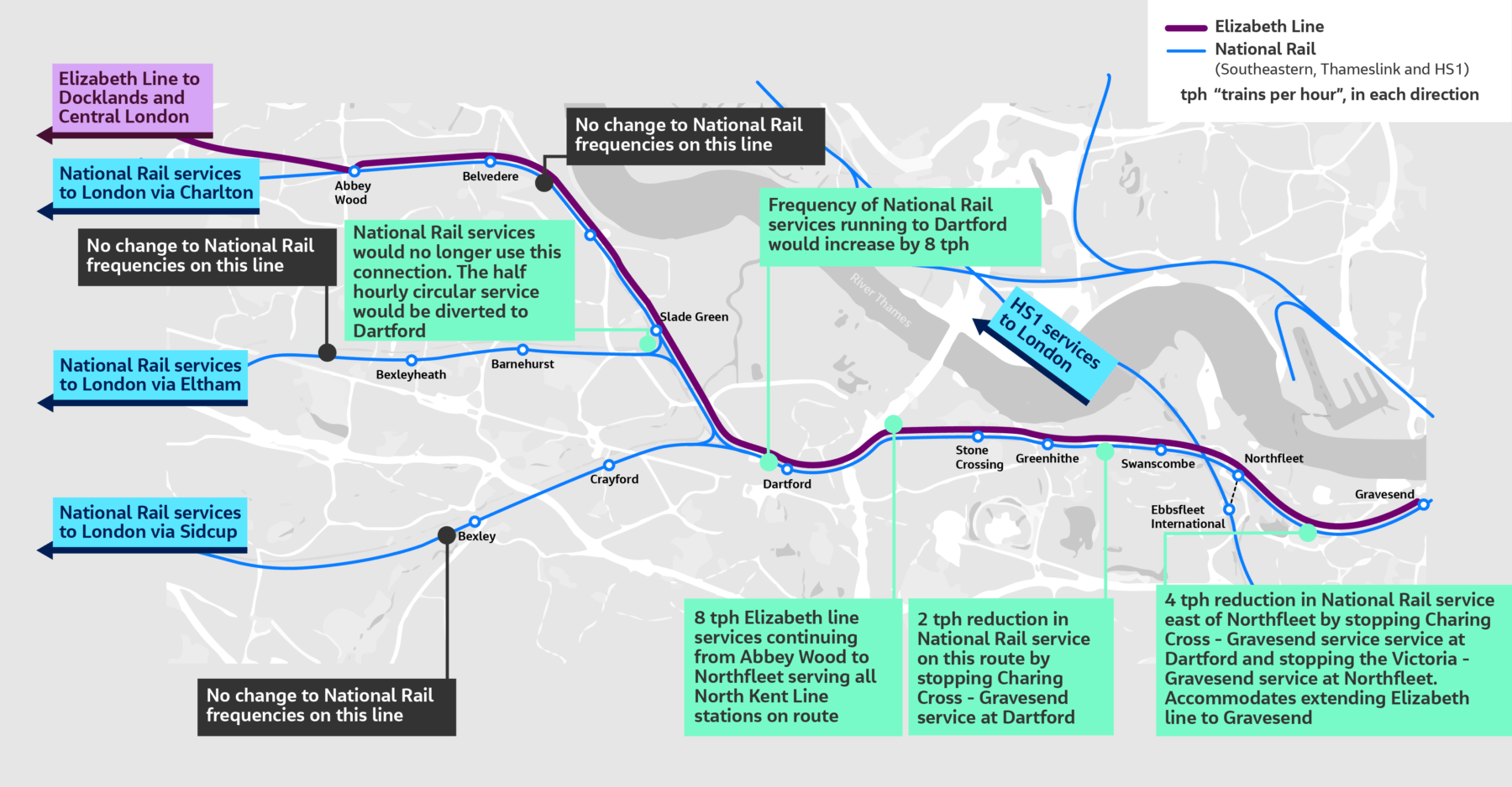
There doesn’t appear to be too much new infrastructure, except for a proper connection between Northfleet and Ebbsfleet stations. References on the Internet, say that the similar-sized Luton DART connection at Luton Airport, cost around £225 million.
The Elizabeth Line connects to the following.
- Bond Street
- Canary Wharf
- City of London
- Farringdon for Thameslink
- Heathrow Airport
- Old Oak Common for High Speed Two
- Liverpool Street station
- Oxford Street
- Paddington station
- Slough for Windsor
- Tottenham Court Road for the British Museum, Oxford Street, Soho, Theatreland and the Underground.
- West End of London
- Whitechapel for the Overground and Underground
For many people like me, the Elizabeth Line at Ebbsfleet will provide one of the quickest ways to get to and from European trains.
High Speed Two Services
This diagram shows High Speed Two services, as they were originally envisaged before Phase 2 was discontinued.
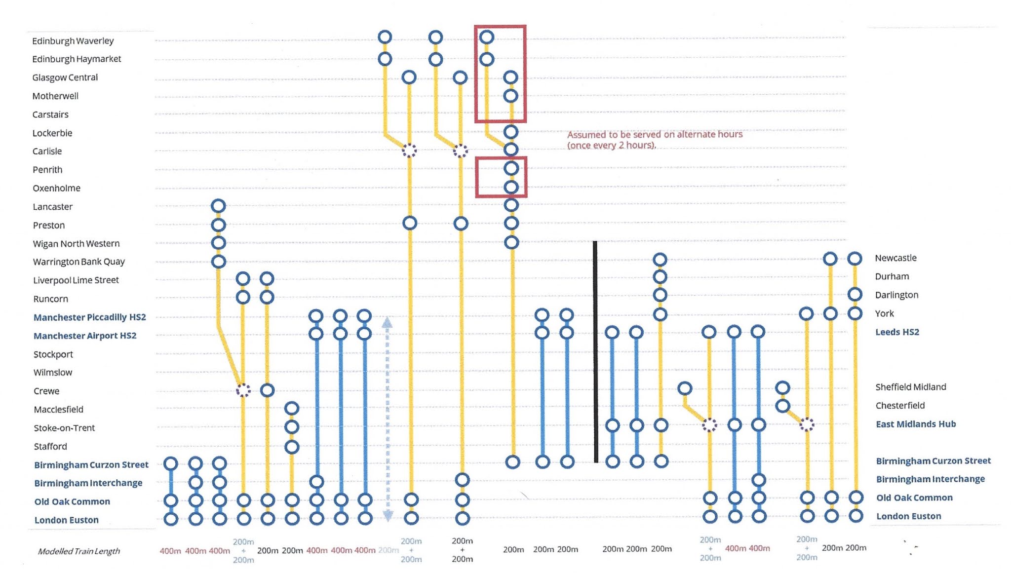
Note.
- Trains to the left of the vertical black line are Phase 1 and those to the right are Phase 2.
- Full-Size trains are shown in blue.
- Classic-Compatible trains are shown in yellow.
- The dotted circles are where trains split and join.
- In the red boxes routes alternate every hour.
- Was Lancaster chosen as it’s close to the new Eden Project Morecambe?
Click on the diagram to enlarge it.
Destinations served by the current foreshortened High Speed Two or High Speed Two Lite will be.
- Birmingham Curzon Street
- Birmingham Interchange
- Carlisle
- Carstairs
- Crewe
- Edinburgh Haymarket
- Edinburgh Waverley
- Glasgow Central
- Lancaster
- Liverpool Lime Street
- Lockerbie
- Macclesfield
- Manchester Airport
- Manchester Piccadilly
- Motherwell
- Oxenholme
- Penrith
- Preston
- Runcorn
- Stafford
- Srockport
- Stoke-on-Trent
- Warrington Bank Quay
- Wigan North Western
- Wilmslow
That is twenty-five stations.
I would add these extra stations.
- Bangor
- Blackpool
- Chester
- Holyhead
- Llandudno Junction
- Wrexham
Note.
- These extra six stations would make High Speed Two, a line for more of the people.
- Because the Eastern leg is cancelled, the paths that would have served that leg can be used to provide services for the West of the country.
The East of the country could be served by updating the East Coast Main Line.
The Development Of Eurostar
Consider.
- Eurostar and Thalys have now merged and I can see them providing extra direct services between London and Europe.
- Bordeaux, Cologne, Frankfurt and Geneva have been mentioned as possible destinations.
- Most of the new destinations, will be served by extending current services from Amsterdam, Brussels and Paris appropriately.
But to cope with the extra numbers of passengers, there will have to be extra passenger capacity at St. Pancras and/or Ebbsfleet International.
High Speed Two And Continental Services
Currently, if you want to go from the North of England or Scotland to the Continent, you do one of the following.
- Take a train to King’s Cross and walk across to St. Pancras International.
- Take a train to St. Pancras and walk to the International section of the station.
- Take a train to Euston and walk or take a bus, taxi or Underground to St. Pancras International.
Note.
- Passengers from North Wales take the Euston route.
- Some passengers will take an Elizabeth Line train to Farringdon and then take Thameslink to St. Pancras International.
- Passengers arriving at Paddington on Heathrow Express will probably take a taxi to St. Pancras International.
- Passengers arriving at Paddington on a budget will probably take the Underground to St. Pancras International.
For Londoners and those travellers, who know London well, the routes to St. Pancras International, are not to bad but they could be better.
If the current foreshortened High Speed Two or High Speed Two Lite finishes at Old Oak Common station, passengers will have to use the following routes for their onward journey.
- Elizabeth Line
- Great Western Railway – local services.
- Heathrow Express
- North London Line of the London Overground, or whatever the Mayor at the time calls it.
If the full High Speed Two or High Speed Two Lite finishes at Euston station, passengers will have to use the following routes for their onward journey.
- Avanti West Coast
- Circle, Hammersmith & City and Metropolitan Lines
- London North Western – local services
- Northern Line
- Victoria Line
- Watford DC Line of the London Overground, or whatever the Mayor at the time calls it.
These routes will be in addition to those at Old Oak Common station.
There will be two routes between High Speed Two and St. Pancras International station.
- Passengers arriving at Old Oak Common will take an Elizabeth Line train to Farringdon and then take Thameslink to St. Pancras International.
- Passengers arriving at Euston will walk or take a bus, taxi or Underground to St. Pancras International.
I am not sure that either route will have enough capacity, if High Speed Two attracts a large number of passengers.
Extend High Speed Two To Euston
I believe that this is essential, as it improves the connectivity greatly, at the bottom end of High Speed Two, as several Underground Lines will be connected to High Speed Two.
Extend The Elizabeth Line from Old Oak Common To Ebbsfleet International
I believe this too is essential, as it gives the North of England and Scotland, the connection to the Continent that they need.
There could be cross-platform connections at both Old Oak Common and Ebbsfleet International between the Elizabeth Line and the high speed lines.
Conclusion
Politicians should stop the dithering and act to give the UK, the rail connection it needs up and down the country and to the Continent.
Heat-Related Hospital Admissions And Deaths In London
I never saw my father ride on a deep Underground line, like the Northern or the Piccadilly, as he always said the air was terrible.
That was despite we lived within walking distance of Oakwood station and his print works was just a hundred metres from Wood Green Underground station.
But then he was a man, who always had a car, when I knew him, so I suppose he felt he better use it.
On one occasion, he took me to the Printing Industries Fair at Earl’s Court, which is just seventeen stops on the Piccadilly Line from Wood Green Underground station, as it still is today.
His route was as follows.
He left his MG Magnette outside the print works on Station Road.
As this picture I took in 2012 shows, parking wasn’t too difficult.
We then walked up the hill to Wood Green station, which is now called Alexandra Palace, from where we took a steam-hauled local train into King’s Cross.
From King’s Cross, we took a Metropolitan Line train to Hammersmith station.
At Hammersmith, we changed stations and then took a train to Baron’s Court station for Earl’s Court Exhibition Centre.
Today, the route between Alexandra Palace and Earl’s Court stations is very different.
- You can change trains at Moorgate, Farringdon or King’s Cross.
- The oldest trains, that you’ll travel on would have been built in 2008.
- All trains will be fully air-conditioned.
I feel, that I could probably get my father to use this route. Although, I doubt it would happen, as he would have turned 120, at the start of this year.
The Growth Of Air Conditioning
Many cars since the 1980s have been airconditioned and now trains are following that route.
In London these are some dates, when trains were air-conditioned.
- Circle, District, Hammersmith & City and Metropolitan from 2008.
- Elisabeth Line from 2017.
- Gospel Oak and Barking from 2019.
- Greater Anglia from 2019/20.
- Lee Valley Lines from 2019.
- London Midland from 2023.
- London Overground from 2009.
- Southern from 2003.
- Southeastern from 2003.
- Thameslink from 2014.
Each year, more and more trains will be air-conditioned.
Conclusion
Has this growth of air-conditioning reduced the number of cases of heatstroke and other heat related admissions to hospitals?
Is London’s ULEZ Already Having An Affect On Train Travel?
Consider.
- There has been a lot of negative publicity about the ULEZ expansion, which starts on Tuesday, the 29th August, 2023.
- I doubt there are few people who will be affected by the expansion, who don’t know about it.
- I suspect many have calculated how much the ULEZ expansion will cost them.
I also suspect that some will have taken actions, which will have included.
- Bought a vehicle, that is ULEZ compliant to avoid the cost.
- Moving house or changing job may sound drastic, but the ULEZ expansion could be one of several reasons to make a large change to your lifestyle.
The easiest action, will be to increase their use of train travel, when they go inside the ULEZ.
Some may have already started to do this, so they know all the pitfalls before doing it seriously on a daily basis.
The Elizabeth Line
Over the last few months, I have written three posts about how busy the Western section of the Elizabeth Line can get.
- Very Busy Lizzie
- Elizabeth Line: Commuters Say Service ‘Not What Was Promised’
- So Many Cases On A Train!
I use the Elizabeth Line regularly and it seems to be getting even busier.
In May 2023, I wrote, these two posts.
- Elizabeth Line’s £29million Fares Bonanza As Passenger Numbers Hit New High
- Elizabeth Line Takes Fliers Away From Heathrow Express
Certainly, the Elizabeth Line is an undoubted success.
In the first of these linked posts, I suggest now might be the time to expand Elizabeth Line services.
Over the last week, I have made three trips to the outer reaches of the Metropolitan Line and I have been surprised at how busy the trains were.
Could it be that travellers are changing their routes before the ULEZ expansion kicks in?
New Trains And More Parkway Stations
Greater Anglia have replaced their commuter trains with new Class 720 trains and are building a new parkway station at Beaulieu Park.
This looks to me, that Beaulieu Park could be a ULEZ avoider.
Will other train companies use a similar strategy to attract more passengers?
Heathrow Is In The Expanded ULEZ
This page on the Heathrow web site is entitled London’s Ultra Low Emission Zone, Or ULEZ, Is Expanding To Encompass All Of Greater London, Including Heathrow Airport, From The 29 August 2023.
The Heathrow page is very informative and I suggest you read it, if you are taking a vehicle near Heathrow.
But the ULEZ will surely drive some Heathrow workers and travellers to use public transport, even if they live far from the ULEZ.
Conclusion
I suspect that more travellers will use the trains because of the ULEZ.
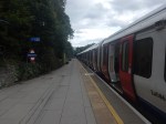
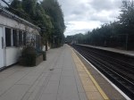
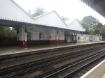
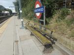
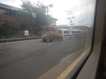
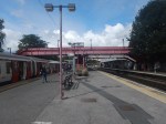
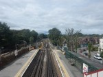
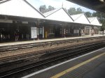
Chorleywood Station – 27th August 2023
This Google Map shows Chorleywood station.
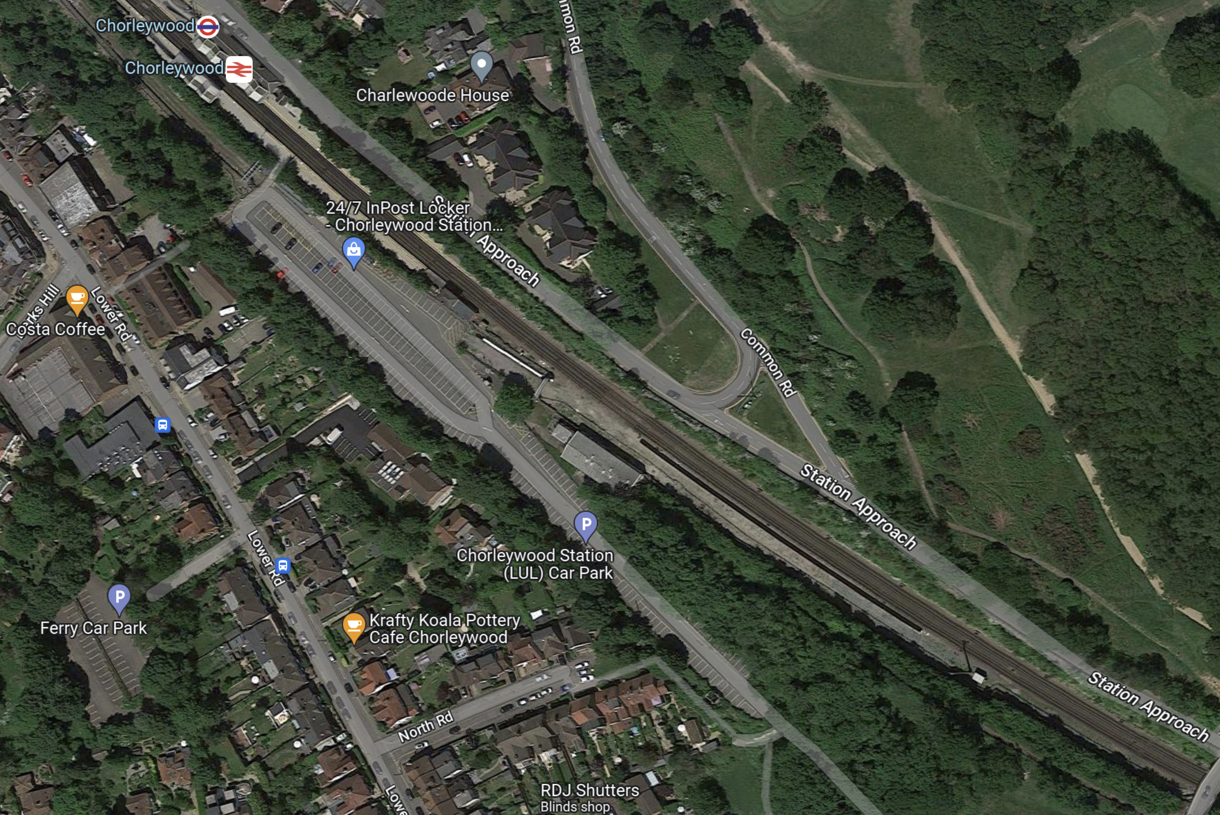
Note.
- There are two through platforms, which are electrified with the London Underground four-rail system.
- There appears to be a large car park.
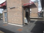
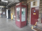
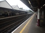
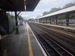
These pictures show the station.
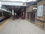
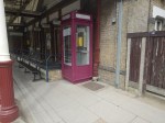
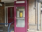
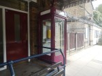
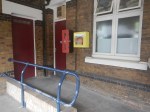
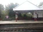
Note.
- Both through platforms are electrified.
- The old K8 phone box, which I mentioned in London Underground: Platform Phone Boxes Given Listed Status.
- The quality signal box
- The defibrillator.
The station could do with a bit of a refurbishment.
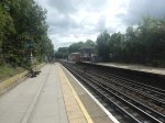
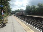
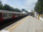
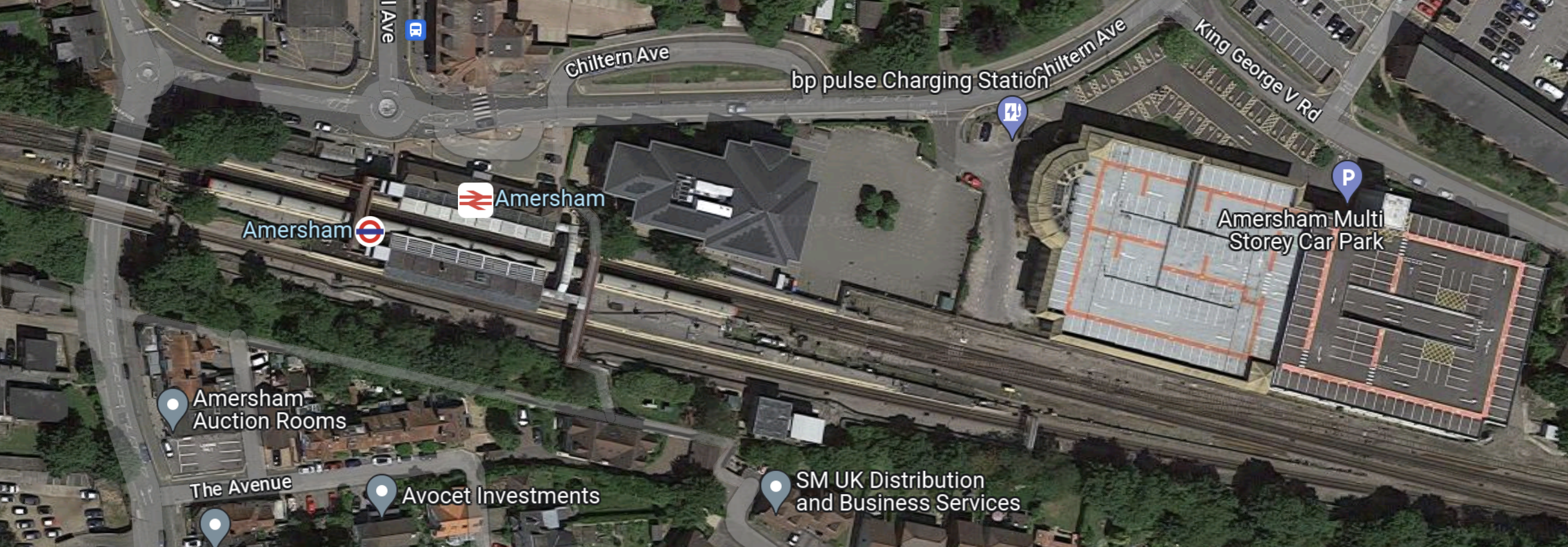
Amersham Station – 24th August 2023
This Google Map shows Amersham station.
Note.
- There are two through platforms, which are electrified with the London Underground four-rail system.
- There is also a East-facing bay platform, which is electrified the same way.
- There appears to be a large car park.
These pictures show the station.
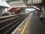

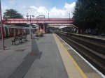
Note.
- Both through platforms are electrified.
- The East-facing bay platform is electrified.
- The station has lifts.
The station is only a short walk from the town centre and there are plenty of cafes nearby.
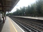
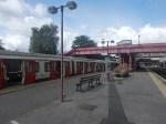
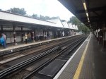
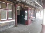
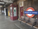
Chalfont & Latimer Station – 26th August 2023
This Google Map shows Chalfont & Latimer station.

Note.
- There are two through platforms, which are electrified with the London Underground four-rail system.
- There is also a West-facing bay platform, which is electrified the same way.
- The bay platform used to host a shuttle to Chesham station.
These pictures show the station.
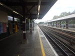
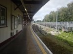
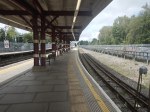


Note.
- Both through platforms are electrified.
- The bay platform could be operational, although the rails seem a bit rusty.
- The old K8 phone box, which I mentioned in London Underground: Platform Phone Boxes Given Listed Status.
- The quality fittings in the station.
Chesham services cross over to the Chesham branch to the West of the station.
