Did Plans For Crossrail Ever Include A Station At Holborn?
I have only one North-South bus route, where I live.
The 141 bus connects Palmers Green and London Bridge station.
- The 141 bus was the replacement for the 641 trolley bus, which was the main link between Wood Green, Turnpike Lane and Harringay, and the City of London, when I was a child.
- The vehicles are up to ten years old Wrightbus diesel hybrids.
- The route suffers badly from overcrowding as it connects, Bank and Moorgate stations in the City of London, with the outer reaches of the Piccadilly Line.
The overcrowding on the 141 bus route has got worse in the last couple of years because of the following.
- The rebuilding of London Bridge station brought more passengers to the 141 bus route.
- The opening of the new London Bridge bus station at London Bridge station has improved access to the buses at London Bridge station.
- The improvement of the connection of the buses to the Docklands Light Railway, Central Line and Northern Line at Bank station.
- The opening of the Battersea branch of the Northern Line, which brings more passengers to Bank station.
- The opening of the new Cannon Street entrance to Bank Underground station.
- The opening of the Elizabeth Line through Moorgate station.
- Recently, a new walking route between Moorgate and Liverpool Street was opened, which will bring more passengers to the buses on Moorgate.
- The rebuilding of Old Street station brought more passengers to the 141 bus route.
So what was the response of the Mayor and Transport for London, to all this increase of passenger numbers?
The 21 bus, which shadowed the 141 route, and doubled the number of buses through where I live, was moved to serve Holloway.
It was a big crime against mathematics and the wishes of our long-serving Labour MP; Meg Hillier.
So to handle many more passengers between London Bridge station and Newington Green through the City of London, the number of buses was halved.
I believe that the overcrowding will get worse because of the improvements, that Transport for London have planned.
- The Piccadilly Line will be getting new air-conditioned trains within a couple of years and these will inevitably attract more passengers to the line.
- On the other hand the air-conditioning may persuade passengers to use the Piccadilly Line more than they do now. Instead of changing to the 141 bus at Manor House station, passengers could change at Finsbury Park, King’s Cross St. Pancras or Holborn stations for other routes to the City of London.
- The third line to receive the new air-conditioned trains will probably be the Central Line, which would create another East-West air-conditioned line and bring more passengers to Bank station.
- The Central Line could give some relief for the buses through Bank, if an extra station was built on the Central Line to interchange with Shoreditch High Street station on the East London Line of the London Overground.
- The fourth line to receive the new air-conditioned trains will probably be the Waterloo and City Line, which would create another air-conditioned line and bring more passengers to Bank station.
- It is likely, that more services will be added to the Elizabeth Line, which will bring more passengers to Moorgate station.
- It is likely, that more services will be added to the Northern City Line, which will bring more passengers to Moorgate station.
- The Mayor is also planning to pedestrianise Oxford Street, which may fill up the Central Line with extra passengers.
It looks to me, that there will be a need for a large increase of bus capacity through the City of London on a North-South axis.
On the other hand, the City of London have stated that they will pedestrianise many of their streets.
So what can be done to avoid gridlock in the City of London?
Develop The Northern City Line At Moorgate
I use this route regularly to and from Moorgate station.
- It already has new Class 717 air-conditioned trains.
- The route is already digitally signalled in conjunction with the East Coast Digital Programme.
- It has two platforms at Moorgate station.
- Highbury & Islington station has interchanges with the Victoria Line and the North and East London Lines of the London Overground.
- Finsbury Park station has interchanges with the Victoria Line and National Rail services.
- Bowes Park station has an out of station interchange with Bounds Green station on the Piccadilly Line.
- Step-free access needs improving.
- The Victorians had plans to extend the line to Lothbury near Bank station.
If the Northern City Line could handle more passengers, would passengers get to all parts of the City of London by changing at Finsbury Park and walking from Moorgate or Old Street stations?
I regularly go between my house and Moorgate, by taking a bus to Essex Road station and using the Northern City Line.
I believe that with improvements on the Northern City Line, the line could be turned into a very valuable part of London’s rail infrastructure.
Connect The Central Line And The East London Line At Shoreditch High Street Station
I wrote about this proposal in Will Shoreditch High Street Be Connected To The Central Line?
The Elizabeth Line needed to be completed before this could be started.
Build The Western Extension Of The Docklands Light Railway
I wrote about this proposal in The Bank Station Upgrade And The Western Extension Of The DLR.
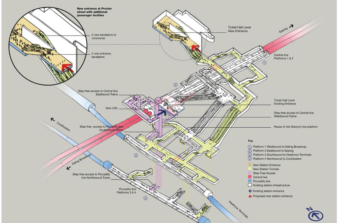
Rebuild Holborn Station
The interchange between Piccadilly and Central Line at Holborn station is difficult to say the least.
Holborn station is being extended with a new entrance. As with Euston, I suspect it has been designed with a feasible place for DLR platforms to be added.
This document on the TfL web site, gives more details of what is proposed at Holborn station.
I extracted this visualisation of the proposed station.
This map from carto.metro.free.fr shows the lines in the through and around the station.
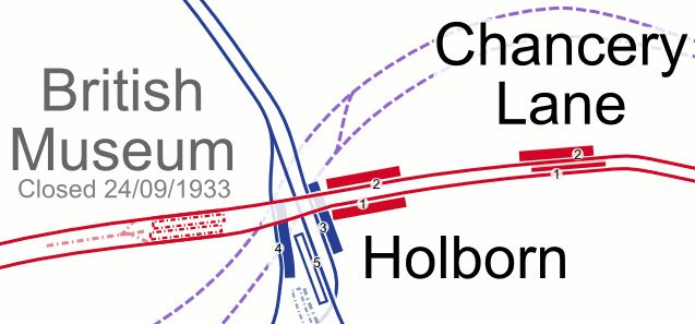
.Note, the Elizabeth Line, which is shown by dotted lines passes to the North of the station.
Conclusion
Not all these improvements need to be done, but each would improve transport in the City of London.
More Mushroom Management On TfL Buses
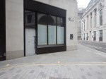
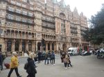
After my experience in Mushroom Management On TfL Buses, I’ve changed my weekend breakfast routine at weekends, to one where on Saturdays and Sundays, I eat breakfast in London’s poshest Leon at Hanover Square, which I wrote about in A Quality Takeaway With A Station And A Large Garden.
It is a large restaurant.
It has comfortable seating.
It is within my not very long walking distance of the Bakerloo, Central, Elizabeth, Jubilee and Victoria Lines, and Oxford Street with all its buses.
There is a garden with seating in the square.
This picture shows the frontage of the building.
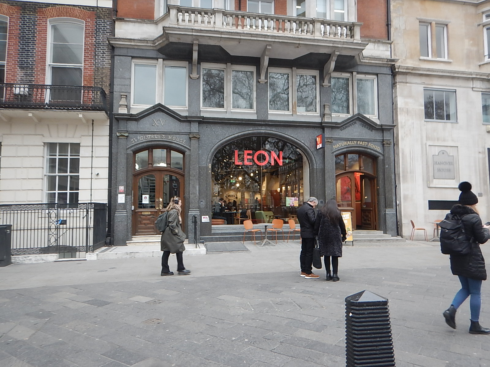
It’s certainly not your average takeaway or fast food outlet.
Normally, Hanover Square is a very easy location for me to travel to.
- I walk round the corner to the stop for the 38 bus.
- The 38 buses are usually every 3-4 minutes and I travel to Tottenham Court Road station.
- I go one stop on the Elizabeth Line, travelling in the rear of the train to Bond Street station.
- I’m then at the right end of the station to exit directly into Hanover Square, after riding up from the depths on a long escalator.
Leon is just a fifty metre walk away.
Today, there were no problems, although I did cut it a bit tight.
But all was fine in the end and I had a good full-English breakfast.
A Difficult Journey Home!
When, I set off from home, I wasn’t sure which way, I would come home.
In the end, I decided to come home the simple way of taking the Elizabeth Line to Moorgate station and then getting the 141 bus from there, as it stops close to my home.
But this route has the Elizabeth Line end-changing problem, in that the Hanover Square entrance at Bond Street station is at the Eastern end of the train and the Moorgate entrance at Liverpool Street station is at the Western end of the train.
So at some point in the journey, I would have to take a two-hundred metre walk, either on the platform or inside the train. The latter is not easy on a train to and from Heathrow, as it is often stuffed full with cases in the aisle. Why do people want to take all the contents of their house on holiday?
So I decided to go via a reverse at Whitechapel, where I positioned myself at the Western end of the train for exit at Moorgate.
It really was necessary to install travellators at Liverpool Street station on the Elizabeth Line, as between the two entrances is a long walk, as this graphic shows.
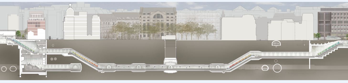
Note.
- Moorgate is to the left
- Liverpool Street is to the right.
But then Transport for London wanted a spectacular line with spectacular stations, that would win awards. Which it has!
I alighted from the train at the Moorgate end of the station, which meant that after two escalator rides and a short walk, I was at the 141 bus stop on the surface.
But there were no buses of any numbers calling at the stop.
This was because of the Lord Mayor’s Show, which meant there were no buses through the City.
But.
- There were no posters at stations saying that the show was taking place and buses would be diverted.
- Displays on bus stops were not saying anything about the show.
- The BBC hadn’t mentioned the Lord Mayor’s Show on the TV this morning.
- The BBC doesn’t have a local news at weekends, which would surely have mentioned the show and its effects on public transport.
- The display on the bus stop at Moorgate was still broken, as it has been for six months.
- There was a small information poster on the bus stop, but it was positioned too high for me to see.
- Taxis seemed to be avoiding the City.
There were a few stewards about and one suggested, that I walked to Old Street, which would not be easy on my legs.
In the end, I decoded that a retreat via Whitechapel and Dalston Junction was probably the best way to get home, as the Overground would be unlikely to be effected.
But I made the mistake of getting on a Circle Line train at Moorgate, so I didn’t get to Whitechapel.
Instead, I walked to the 141 and 21 bus stop at Monument station and caught a 21 bus North. I hoped that I would be able to connect to the 141 bus, that I needed to get home.
I did get safely home, but only after two long waits at bus stops, where I changed bus routes twice.
Conclusion
Transport for London need to devise bus plans for all major events and publicise them well in advance.
In London’s New 733 Bus Route, I described how Transport for London put in a temporary bus route between Finsbury Square and Oval stations to replace the Northern Line during the upgrade of Bank station.
As the Lord Mayor’s Show happens every year, surely the same plan can be rolled out each year, with any appropriate changes.
I’d be interested to know whether other large cities have plans for big celebrations in city centres.
Nicholas Lane – 1st May 2023
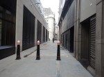
Nicholas Lane is a lane in the City of London, that runs between Cannon Street in the South and Lombard Street in the North.
This Google Map shows the lane.
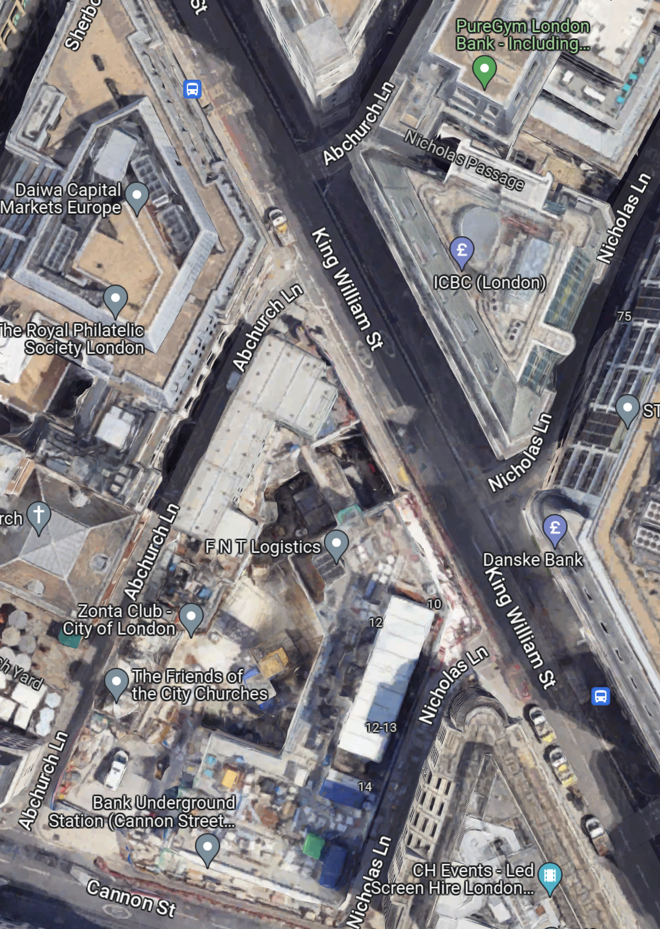
Note.
- Nicholas Lane tuns diagonally across King William Street.
- Cannon Street can be seen in the South-West corner of the map.
- The new entrance to Bank station is on Cannon Street.
- Nicholas Lane runs up the side of the new station entrance.
- There are two bus stops for the 21, 43 and 141 buses on King William Street.
The bus stops are within easy walking distance of the new station entrance, if you walk along the Southern section of Nicholas Lane.
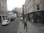
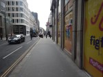
These pictures show Nicholas Lane and King William Street.
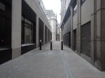
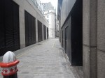

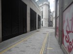
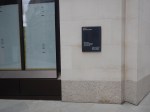
Note.
- I suspect some coffee shops or a fast food joint will appear at the King William Street end of Nicholas Lane.
- The windows on the corner could be ready to be a shop.
- In Bank Station Upgrade – 6th January 2023, I described the eight storey building, that will sit on top of the station entrance.
The lane could also a preferred route for many, who are changing at Bank station to or from the buses.
Could High Speed Two Have An Underground Station In London?
The Achievement Of The Bank Station Upgrade
This map from OpenRailwayMap shows the lines through Bank and Monument stations.
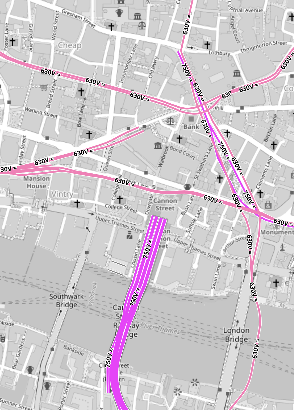
Note.
- All the pink lines are the lines of the London Underground.
- The line running alongside London Bridge is the Northern Line, which is deep under the Thames.
- The mauve lines are those with the slightly higher voltage of the UK National Rail network going into Cannon Street station.
In part of the Bank Station Upgrade, a new Southbound tunnel for the Northern Line was dug, so that the Northern Line platforms at Bank station could be farther apart.
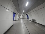
This visualisation shows the station.
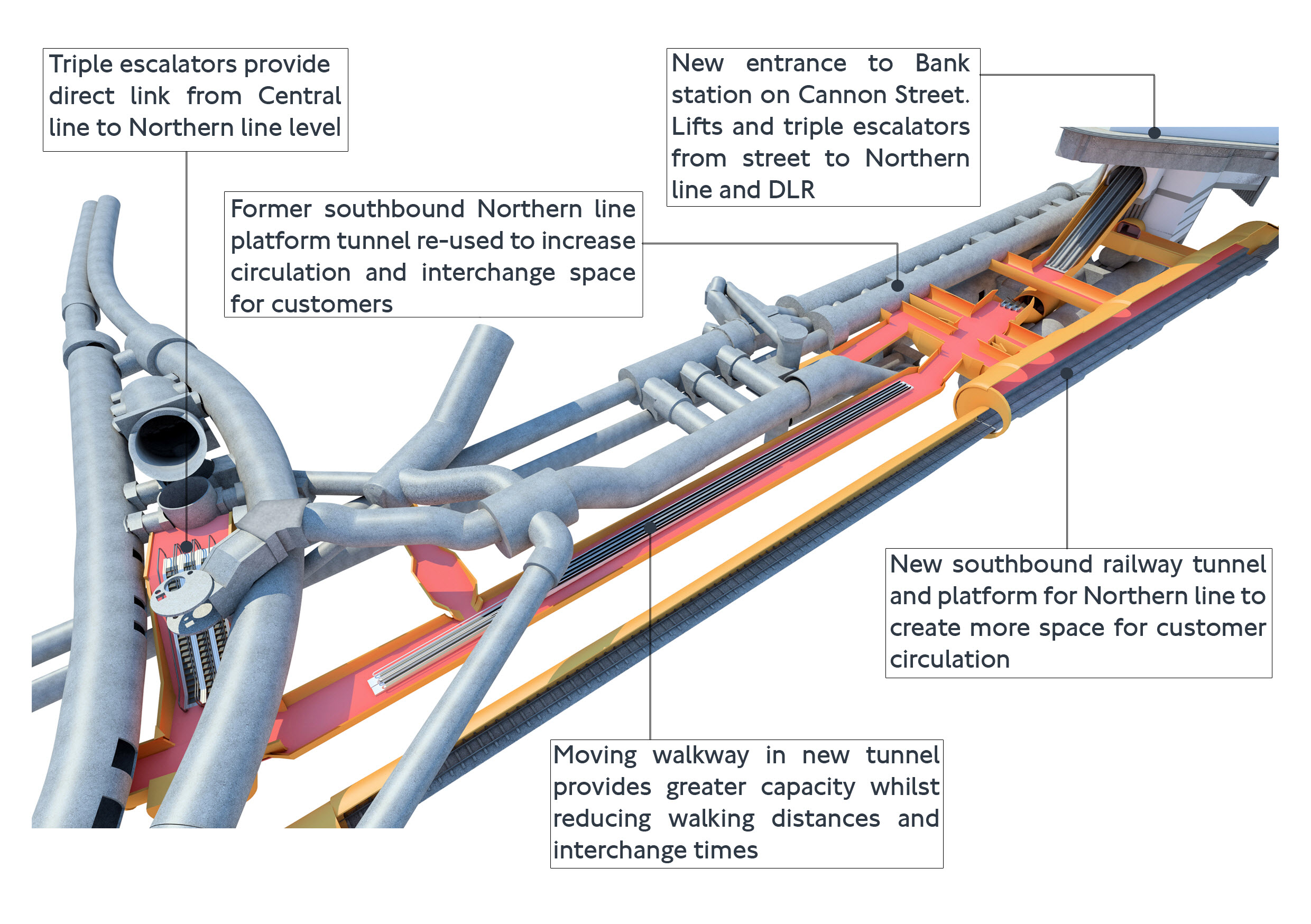
The project was an amazing demonstration of what is possible to be achieved in underground construction.
- There is a moving walkway to move passengers between the Central and Northern Lines.
- There are escalators and lifts everywhere.
It was also dug out from London’s helpful soils under scores of important buildings, many of which are listed.
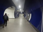
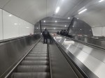
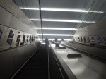
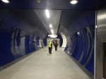
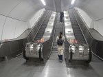
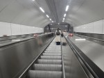
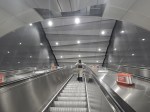
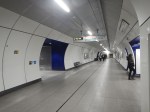
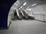
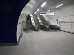
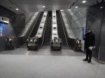
These pictures give a flavour of the underground section of the completed upgrade.


These pictures show the buildings on top of the complex.
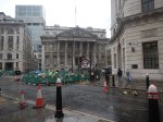


Note.
- There is no building of any great height above the station complex.
- There are a lot of quality buildings.
- During all the work underground, I didn’t see any reports of any problems with the buildings on top.
- In How Many Entrances And Exits Does A Station Need?, I counted that the complex now has twenty entries.
It is probably a project that could be repeated elsewhere.
Camden Town, Holborn and Bond Street/Oxford Circus are probably suitable cases for treatment.
Weston Williamson’s Plan For Manchester Piccadilly Station
In The Rival Plans For Piccadilly Station, That Architects Say Will ‘Save Millions’, I wrote about Weston Williamson’s plan for Manchester Piccadilly station.
This was their visualisation.

Note.
- In the visualisation, you are observing the station from the East.
- The existing railway lines into Piccadilly station are shown in red.
- Stockport and Manchester Airport are to the left, which is to the South.
- Note the dreaded Castlefield Corridor in red going off into the distance to Oxford Road and Deansgate stations.
- The new high speed lines are shown in blue.
- To the left they go to Manchester Airport and then on to London, Birmingham and the South, Warrington and Liverpool and Wigan, Preston, Blackpool, Barrow-in-Furness, the North and Scotland.
- To the right, they go to Huddersfield, Bradford, Leeds, Hull and the North East, and Sheffield, Doncaster and the East.
- Between it looks like a low-level High Speed station with at least four tracks and six platforms.
- The Manchester Metrolink is shown in yellow.
The potential for over-site development is immense. If the Station Square Tower was residential, the penthouses would be some of the most desirable places to live in the North.
Londoners Are The Tunnel Kings
Bring On The Robots
Could High Speed Two Have An Underground Station In London?
Look at this map from OpenRailwayMap.
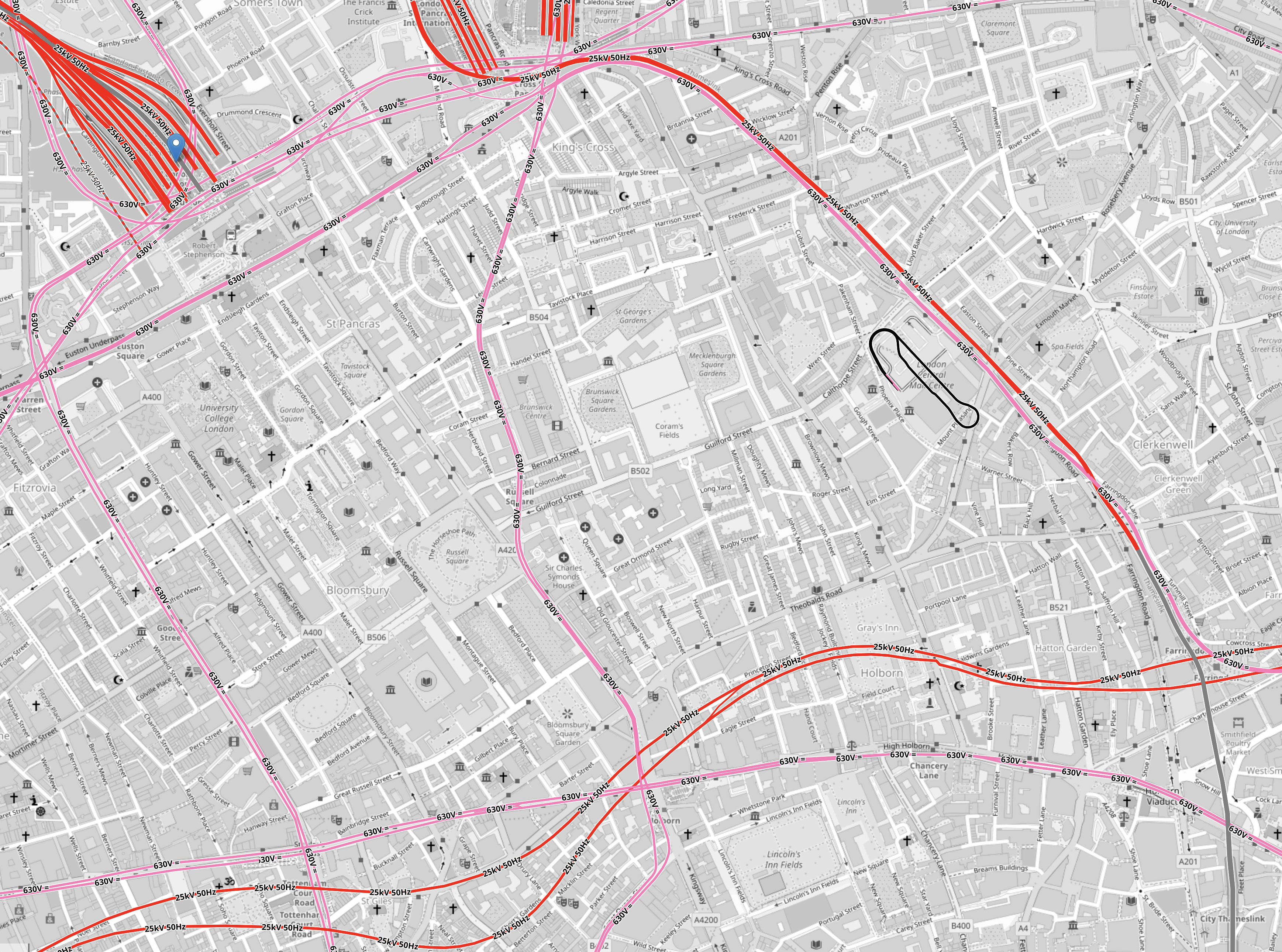
Note.
- Euston station is in the North-West corner of the map.
- St. Pancras and King’s Cross stations can just be seen at the top of the map.
- All lines shown in red have 25 KVAC overhead electrification.
- All lines shown in pink are the London Overground.
- The double track electrified railway meandering across the map from West to East is the Elizabeth Line.
- The pink line going down the middle of the map is the Piccadilly Line.
- The pink line going down the left of the map is the Charing Cross branch of the Northern Line.
There is a large square area to the South of Euston that doesn’t have any railways crossing it.
It is shown in this map from OpenRailwayMap.
Note.
- As before, red lines have 25 KVAC overhead electrification and pink lines are the Underground.
- The Western boundary of the area is the Charing Cross branch of the Northern Line, which runs between Euston in the North and Tottenham Court Road in the South.
- The Eastern boundary of the area is the Piccadilly Line, which runs between King’s Cross in the North and Holborn in the South.
- The Northern boundary of the area is the sub-surface Circle, Hammersmith & City and Metropolitan Lines, which runs between Warren Street in the West and King’s Cross in the East.
- The Northern and Victoria Lines also run East-West to the North of the sub-surface lines.
- The Southern boundary of the area is the Central and Elizabeth Lines, which run between Tottenham Court Road in the West and Holborn in the East.
It is a substantial area.
So could it be hollowed out to create a below-ground London terminal for High Speed Two?
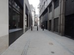
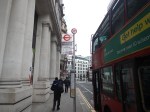
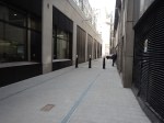
I got a bus from Tottenham Court Road to Euston station and then walked to Holborn, taking these pictures.
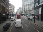
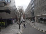
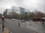


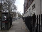
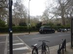
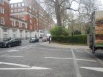
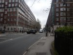

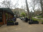
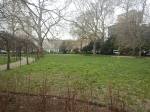
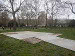
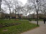

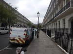
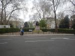
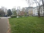
Note.
- There are only two buildings in the area with more than about six floors; University College Hospital and Senate House.
- There a lot of green spaces.
- Bloomsbury Square does have a car park beneath it.
I wonder if a terminal station could be build under the area?
- I suspect if you went fifty metres down there could be plenty of space, that could be excavated.
- Tunnels with moving walkway and escalators could link the station to the Central, Circle, Elizabeth, Hammersmith and City, Metropolitan, Northern and Piccadilly Lines.
- There would be space to have 400 metre long platforms.
- As all trains would be electric, there would be no fume problems.
- There could be lifts and escalators to the green spaces on the top.
I have a feeling that most of people living or working inside the North and South Circular Roads could get to the station by public transport with at most a single change.
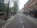
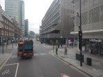
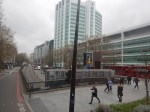
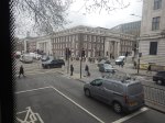
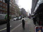
Moorgate To Charlton Via Cannon Street
I needed to go to Charlton station this morning to take a couple of photographs for a possible blog post.
- I had had my usual breakfast in LEON on Moorgate, so I started from Moorgate station.
- I took the Northern Line one stop to Bank station.
- It was then straight up the double escalators.
- I followed this by a brisk walk along Cannon Street.
The total time between entering Moorgate station and sitting on my train at Cannon Street station was about ten minutes.
One of London’s more difficult stations to access now has a North-South Underground line, to go with its East-West line.
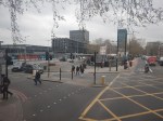
Is The Nightmare On The Buses Going To Get Worse?
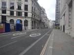
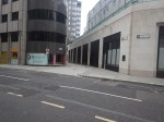
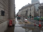
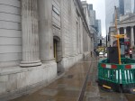
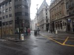
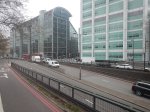
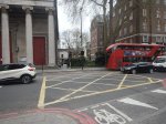
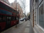
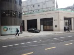
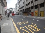
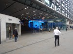
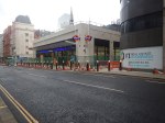
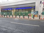
This morning after photographing the finish of the Bank Station Upgrade, I walked down the side of the new Cannon Street entrance to catch a 141 bus from King William Street to my home.

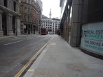
Note.
- There are two bus stops for the 21, 43 and 141 buses on King William Street; one Northbound and one Southbound.
- The bus stops are a two minute level walk from the gate-line at the Cannon Street entrance.
- To go between the gate-line and the Northbound stop requires no crossing of any road, but the route to the Southbound stop requires the use of a light-controlled crossing.
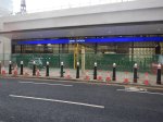
- The Cannon Street entrance is step-free and only a short walk, between the street and the platforms of the Docklands Light Railway and the Northern Line.
- The access to the Central Line is also easy, but a longer walk.
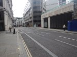
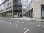
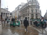
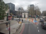
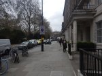
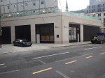
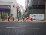
This afternoon, I walked the other way from the Southbound bus stop on King William Street to the new Cannon Street entrance of Bank station.
Note.
- It is a totally level walk.
- There are lights to help the crossing of King William Street.
- The concrete building on the other side of King William Street is the other end of the new station entrance.
- It looked to me, that there was a retail unit in the corner of that building. This was confirmed by station staff and it would surely be an ideal place for an upmarket takeaway.
- The building on the corner of Cannon Street and King William Street is a set of shared offices. Again it is in a prime position.
- You can also walk from the bus stop to the main Monument station entrance.
I timed myself from the Southbound stop on King William Street to the various platforms.
- Central Line – Under five minutes
- Dockland Light Railway – Under four minutes
- Northern Line – Under three minutes
Will these times encourage passengers to use the new entrance and its buses to North London?
If I was looking for offices for a foreign company, that wanted to be in the City, as I do occasionally for an American attorney, I would start in this area.
Step-Free Access On The Northern Line Is Rather Variable
If you look at the step-free access on this section of the Northern Line, you find the following.
- Euston – Escalators – No Lifts until High Speed Two
- King’s Cross – Escalators – One Lift to platform
- Angel – Escalators – No Lifts – Medium walk to the buses
- Old Street – Escalators – No Lifts – Medium walk to the buses
- Moorgate – Escalators – Long Lift route – Medium walk to the buses
- Bank (North) – Escalators – Lots of Steps – Medium walk to the buses
- Bank (Cannon Street) – Escalators – Two Lifts to platforms – Short walk to buses
- London Bridge – Escalators – One Lift to platform – Steps to buses
Note.
- If I was going between My House and the Northern Line South of Bank station, I’d change between the 141 bus and the Northern Line at the Cannon Street entrance to Bank station.
- Alternatively, I can take a 38 bus to the Angel and join the route there. But that route can be very slow coming North, as there is a lot of walking. Going South, it’s also likely to be blocked by a Tesco truck at the Angel.
- Between My House and the Docklands Light Railway, I’d change from the 141 bus at the Cannon Street entrance to Bank station.
- I might even take that route, if I wanted the Central Line out of Bank.
It does appear that as the new Cannon Street entrance to Bank station has been well-designed with full step-free access and short walks to the bus stops, that it will be the interchange of choice for many travellers to and from the area, who are using the buses.
Conclusion
I feel that a lot of passengers from North London will use the 21, 43 and 141 buses to access the Central and Northern Lines, and the Docklands Light Railway using the new Cannon Street entrance to the Bank station complex.
I very much feel that all three bus routes will have a lot more passengers, so the Nightmare On The Buses, is likely to get worse.
Into The Realm Of The Rabbits
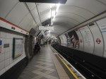
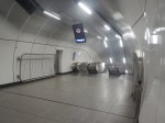
The completed Bank Station Upgrade opened today and I went and took these pictures of what is now a rabbit warren of a station.
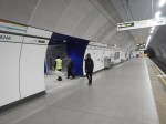
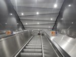
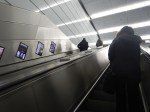
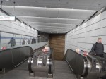
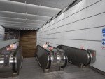

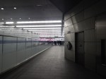

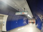
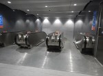
Note.
- There are now three cross passages between the two Northern Line platforms.
- There are two lifts between Cannon Street and the Northern Line and one extends to the Docklands Light Railway.
- The Northern Line and Cannon Street are now connected by two sets of three very long escalators.
- I took a walk to Cannon Street, whilst taking this pictures and from leaving the new entrance to being on a train out of Cannon Street, took mt five minutes.
- After photographing the station, I walked to the bus stop for the 141 bus, which took me home. As there is now a new passage between the gate-line and the bus stop, it took just two minutes.
The new Cannon Street entrance is a practical, stylish and well designed and built addition to the Bank station complex.
I would let the same architects and builders loose on Camden Town, Holborn and Oxford Circus/Bond Street stations.
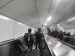
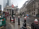
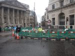
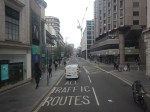
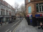
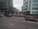
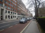
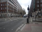
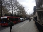
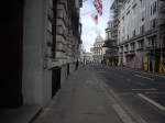
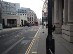
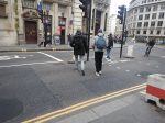
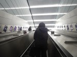
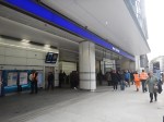
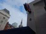
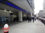
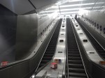
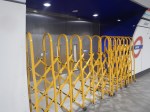
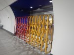
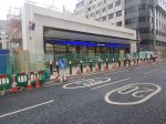
The Mayor Rubs It In!
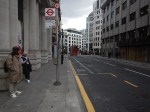
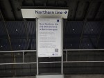
I took these pictures whilst waiting to get home this morning from Moorgate, whilst waiting for a 141 bus.
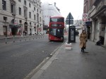
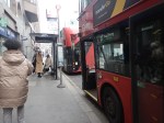
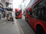
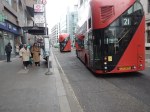
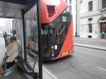
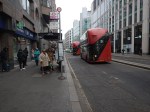
It’s one thing to reroute the buses, but quite another to send them up and down the old route, with plenty of space for passengers. Although, I don’t think this will help his reelection chances next year.
When the 141 bus did arrive, it was about ninety percent full.
I predicted in a letter to my MP. that this overcrowding would happen because the opening of the Elizabeth Line and the Bank Station Upgrade.
I also said similar things in Does London Need High Capacity Bus Routes To Extend Crossrail?, which I wrote in February 2022, before the Elizabeth Line opened in May.
But I didn’t get it all right, as it appeared the biggest increase in passenger numbers happened after the new escalators between the Docklands Light Railway and the Northern Line opened at Bank station. That puzzled me and I can only assume that there is a lot of traffic between the catchment area of the DLR and North East London.
Predicting the number of passengers, who will use a new railway, road or bus service is a difficult science, which very often results in a wrong answer.
In the Mysterious Case Of Rerouting The 21 Bus, it would have been better to have completed all the works at Bank, Moorgate and Old Street stations, before trying to solve the best way to deploy the buses.
- Bank and Moorgate stations are almost completed.
- The completion of Old Street station and the associated road works are still several months away, as I wrote in Is Old Street Roundabout A ‘Too Many Cooks’ Project?
In Does London Need High Capacity Bus Routes To Extend Crossrail?, I said this about the buses needed.
I suspect any route seen as an extension of Crossrail needs to have the following characteristics.
-
- High frequency of perhaps a bus every ten minutes.
- Interior finish on a par with the Class 345 trains.
- Wi-fi and phone charging.
I would also hope the buses were carbon-free. Given that some of these routes could be quite long, I would suspect hydrogen with its longer range could be better.
Get the design of these buses correct and they could attract a large number of passengers from their cars to public transport.
- Ten year old buses, as on the 141 bus are unacceptable.
- Before the 21 bus was withdrawn, you noticed that some passengers wait an extra minute to get a 21 bus with its greater space and comfort.
- Because of the better design of the stairs on modern buses and New Routemasters, I will go upstairs on these buses. But I don’t chance it on an older bus.
- Wi-fi and phone charging would make up for the fact that the Class 345 trains don’t have it.
From experience of the 141 bus in recent days, a frequency of a bus every five minutes is probably needed now.
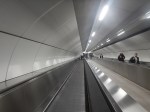
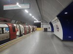
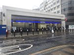
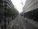
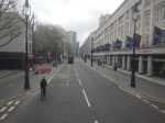
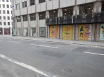
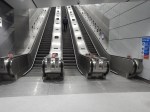
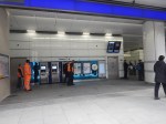
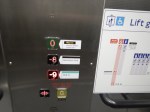
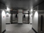
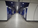
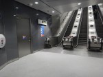
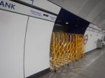
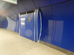
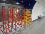
Another Door Opens At Bank Station
I took these pictures at Bank station this morning in the Southernmost tunnel between the Northern Line platforms.
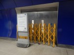
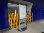
You can just about see the lift doors through the windows in the steel fire doors.
It can’t be long now before the Cannon Street Entrance to Bank station opens.
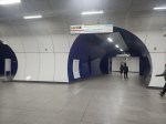
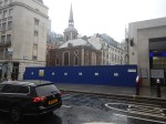
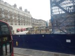
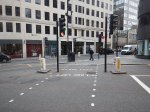
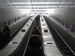
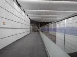
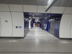
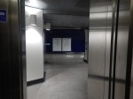
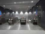
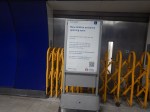
Bank Station Upgrade – 11th February 2023
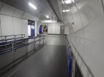
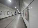
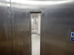
I took these pictures as I passed through Bank station this morning.
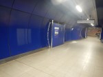
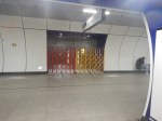
The central passageway between the two Northern Line platforms appears to be complete with the standard heavy steel fire-doors.
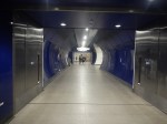
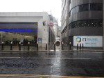
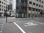
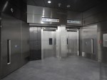
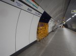
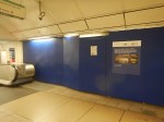
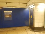
I also took these pictures of the new Cannon Street entrance.
Note the passage running up the side of the station to King William Street.
Chatting to staff I got two different stories about the opening.
- One said it will open on Friday.
- Another said there would be testing earlier in the week to decide when it opens.
But those two stories would fit.
