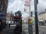
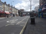
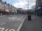
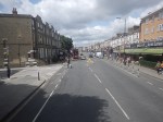
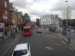
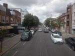
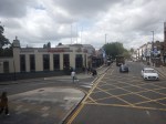
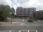
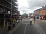
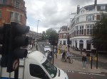
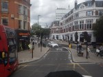
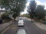
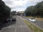
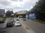
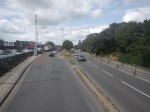
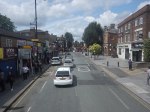
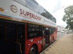
Riding The SL8 Bus Between Shepherd’s Bush Market And Uxbridge Stations – 16th July 2023
This draft map from TfL illustrates the concept of the Superloop.
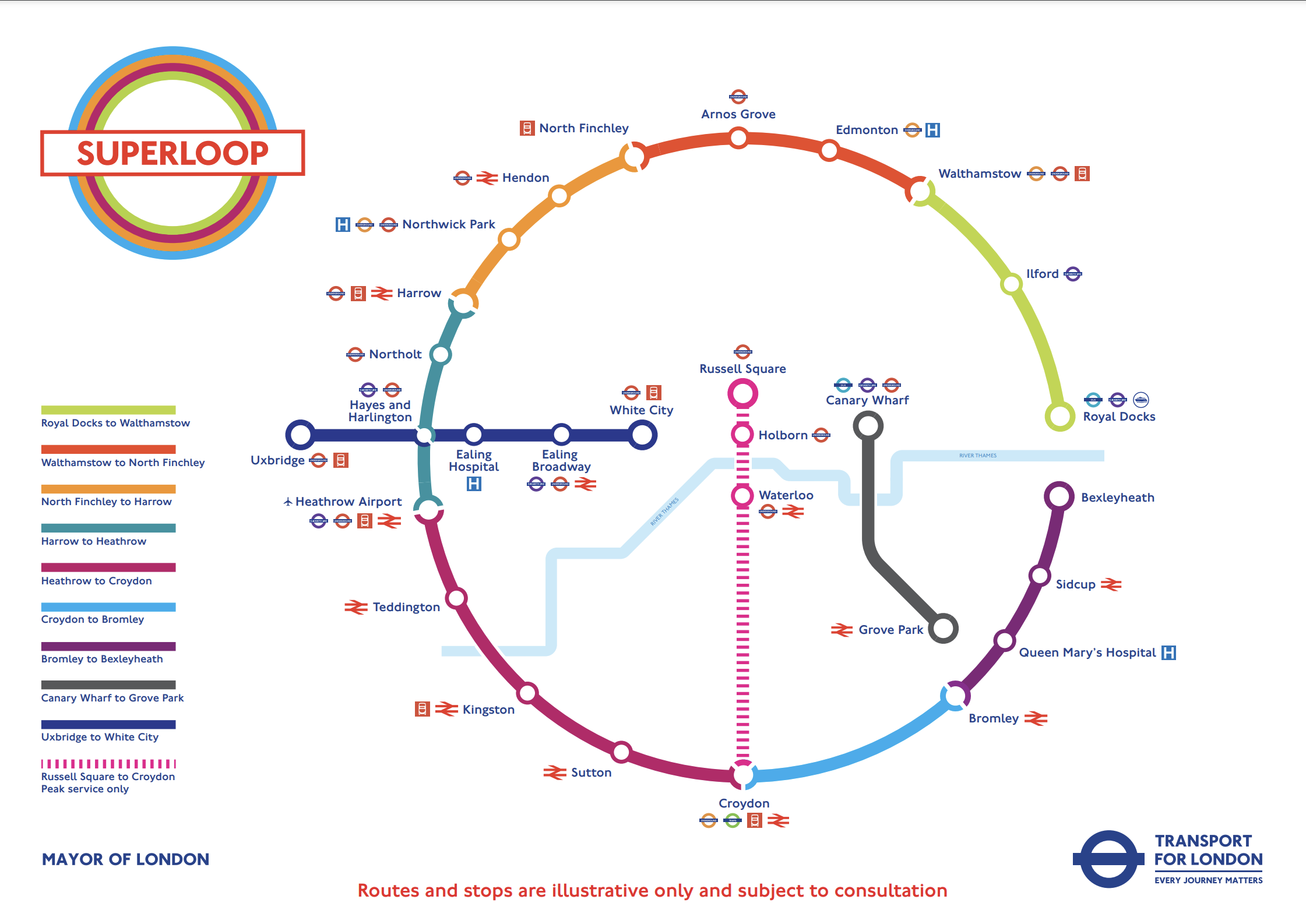
The spoke on the Western side of the map is route SL8 between White City and Uxbridge stations.
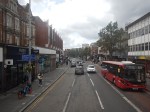
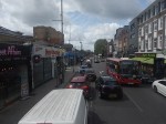
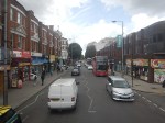
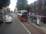
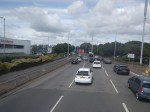
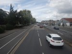
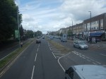
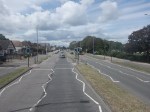
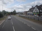
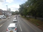
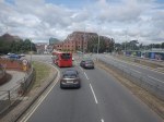
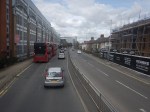
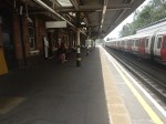
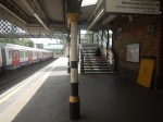
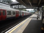
This morning I rode the route between Shepherd’s Bush Market and Uxbridge stations and took these pictures.


Note.
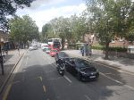
- Some of the buses have still to be painted in the new white-topped Superloop livery.
- The buses are diesel-powered.
- The stops have their own livery.
- I estimate the route is 12.3 miles long and the bus took 67 minutes.
- The frequency appeared to be typically four buses per hour.
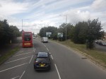
- The route is mainly dual-carriageway to the West of Ealing Hospital.
Route SL8 used to be route 607 and except for the branding nothing has changed.
I have few thoughts.
The Concept
The concept seemed to work well, where the roads were free of traffic.
But we get get a bit delayed through places like Ealing Broadway, where parking reduced the width of the road.
The Route
The route connects quite a few stations and other important locations.
From East to West they include.
- Westfield Shopping Centre
- Shepherd’s Bush station for the Central Line and the Overground.
- Shepherd’s Bush Market station for the Hammersmith and City Line
- Acton Central station for the Overground
- Ealing Common station for the District and Piccadilly Lines.
- Ealing Broadway station for the Central, District and Elizabeth Lines.
- Ealing Broadway
- Ealing Town Hall
- Ealing Hospital
- Southall Broadway
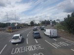
- Hayes
Note.
- The route is very much the same as the now-abandoned West London Tram, which was proposed twenty years ago.
- The tram was opposed y the three London boroughs on the route, as it cut them in half. But buses don’t cause the same problems.
- The Superloop map shows that the SL8 bus calls at Hayes and Harlington station, but we went nowhere near it today.
- The route with its sections of dual carriageway and congested shopping streets was a bit like the route o Birmingham’s hydrogen buses, that I wrote about in Riding Birmingham’s New Hydrogen-Powered Buses.
I feel as the route is very similar to the West London Tram, which was probably extensively researched, that there won’t be too many changes to this route.
Parking Along The Route
I wouldn’t be surprised to see more parking restrictions along the route, to speed up the buses in the crowded shopping streets like Acton, Ealing Broadway and Southall Broadway.
The Buses
The buses are Egyptian-built eVoSeti diesel buses, which use a Volvo chassis.
- I don’t like these buses as they don’t have a flat floor and I’ve seen some passengers struggling with the stairs on the lower deck.
- At least the stairs to the upper deck aren’t too bad.
We used to have them locally in Dalston and I used to avoid them, if there was another bus close behind.
This new route, though should be served by zero-carbon buses, so that pollution and carbon emissions are reduced.
- Between White City and Uxbridge takes over an hour.
- A battery-electric bus would need recharging during the day.
- It looks like there’s not much space at White City and Uxbridge stations, to install charging stations.
- A hydrogen-powered bus could probably manage all day on one filling.
For these reasons, I suspect that hydrogen buses would be the preferred option.
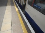
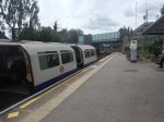
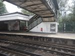
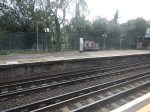
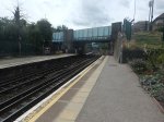
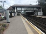
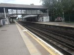
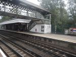
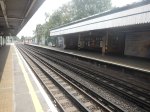
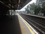
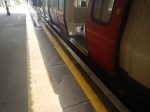
Ruislip Station – 16th July 2023
In TfL Announces The Next Tube Stations To Be Prioritised For Step-Free Access To Meet The Mayor’s Bold Accessibility Targets, it stated that Ruislip station will be made step-free.
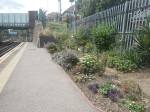
So I went to have a look and took these pictures.
Note.
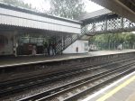
- The station is used by Piccadilly and Metropolitan Line trains, which are different sizes.
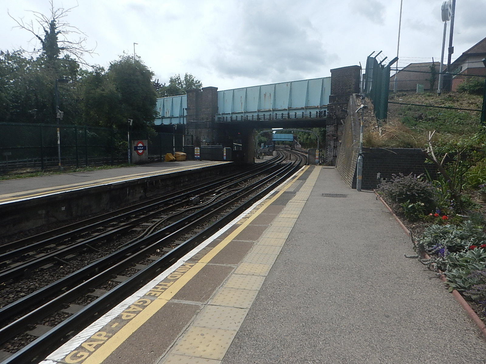
- There appears to be a well-preserved signal-box at the Eastern end of the station.
- The Eastbound platform has step-free access from the street.
- Crossing the tracks is by a Victorian steel footbridge.
- The station is Grade II Listed.
- The listing includes the the signal box and the footbridge.
This 3D Google Map shows the station.
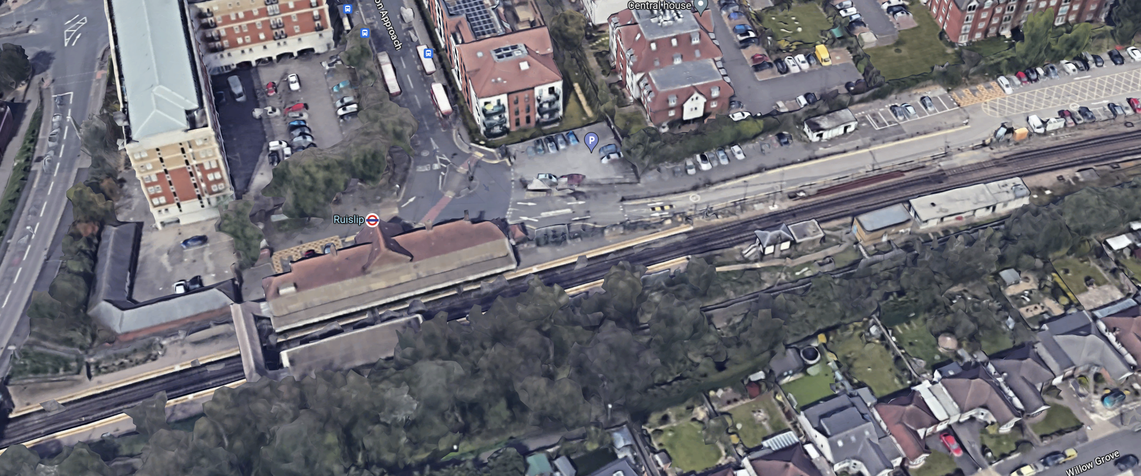
Note.
- The footbridge in the South-West corner of the map.
- There is not much space to put a second bridge across the tracks.
- It might be possible to build a step-free footbridge with lifts by the road bridge.
If English Heritage and the Heritage Taliban dig in their heels, this could be a difficult station to make step-free.
But the London Underground has several bridges of this type, so perhaps this one is being scheduled early to test the reaction.
This second Google Map shows the road bridge and the Western ends of the platforms to an enlarged scale.
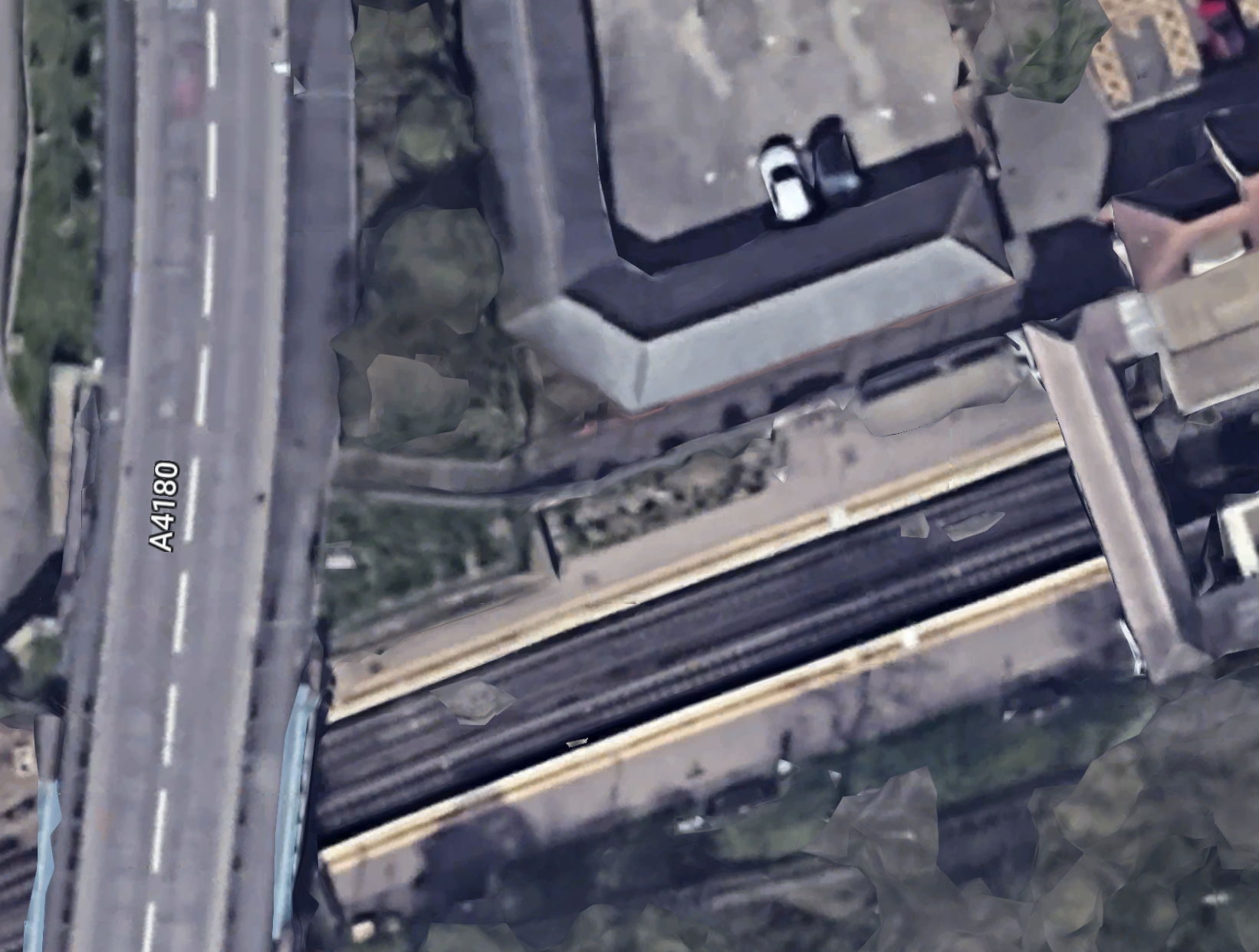
This picture shows the station side of the road bridge.
There could be space to put a steel bridge with two lifts by the road bridge.
Coupled with a comprehensive restoration of the current footbridge and a repainting of the road bridge, this could satisfy all parties.
Djokovic Appears To Have A Spaniard In The Works!
With apologies to John Lennon!
