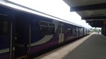
Coffee And Seats At Manchester Victoria
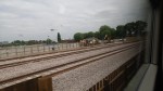
The upgrade at Manchester Victoria station is approaching completion and as I passed through yesterday, the refreshment room was open and their were extra chairs everywhere in a Northern Rail promotion.

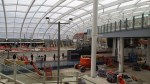


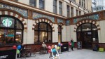
It’s just a pity that the coffee shop, just had to be those tax-avoiders; Starbucks.
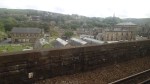
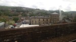
Walking Between Burnley Manchester Road And Central Stations
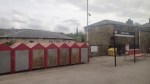
Burnley is unique in British medium-sized towns that I know in that it has three rail stations in the town centre.
Barracks – A small single-platform halt on the East Lancashire Line
Central – Another small single-platform halt on the East Lancashire Line
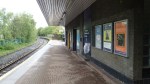
Manchester Road – A modern station on the Caldervale Line
To make matters more difficult, all of the stations are a walk uphill from the pedestrianised town centre.
So Burnley is one of those unique places, where the going is a lot easier than the coming back.
If you look at passengers numbers for the three stations in 2012-13, they were respectively roughly 20,000, 150,000 and 240,000, but these probably don’t show the full pattern of usage, as I suspect with the hard walk uphill to the station, that those coming to the town to use the shops, probably use an alternative method to get home, if they are heavily loaded.
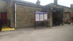
I took these pictures as I walked between the Manchester Road and Central stations taking in an excellent cup of chocolate in the centre.

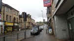
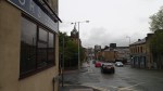
It wasn’t the hardest drag up the other side, but I timed it so that I just missed the train to Blackburn. So I wouldn’t think the service on from Central station, isn’t the most customer-friendly.
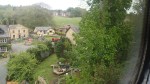
When I go to Burnley normally, it’s to see Ipswich play their football team at Turf Moor. This Google Earth image shows the town from the Central station to Turf Moor.
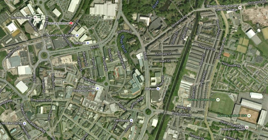
Burnley Central Station To Turf Moor
Normally I come in at Manchester Road station, which is off the map at the bottom. It’s a long mainly-downhill walk to the match and a long mainly-uphill walk back to the station. At least now there now are a few more trains and I could return to Manchester and London by taking a train to either Todmorden, Blackburn or Preston.
But is it possible to walk the contours of the hillside from the ground to Burnley Central? But then that only gives you one train an hour and you wouldn’t want to miss it on a pouring wet and cold day.
What Burnley needs is a better connection from the town centre to the Central and Manchester Road stations.
In an ideal eco-friendly modern world, there would be a free electric town centre mini-bus between the two stations, stopping on the way in the town centre and the bus station, which is not an easy walk from either rail station.
Providing better access to Manchester Road station, will always have to rely on vehicles of some sort. There is also the problem that the station despite being brand-new is not step-free from passenger drop-off to the Blackburn-bound platform.
On the other hand, the access to Burnley Central station, could possibly be met by creating a well-contoured path from the town centre and then using a lift to bridge the height gap to the platform, which is on the viaduct that carries the East Lancashire across the town.
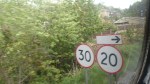
At present the East Lancashire Line has an hourly service in each direction as far as Colne. But as I said in this piece on tram-trains and their use in Blackpool I believe that they could be used to extend the line to Skipton in the east and Central Blackpool on the coast.
But that will never happen, as where is Skipton? In Yorkshire and Burnley, Blackburn, Blackpool and Preston are in Lancashire.
On the train, through Todmorden yesterday, I heard the odd comments about how the countryside wasn’t as pretty, as we passed the town.
The old parochial attitudes refuse to die.
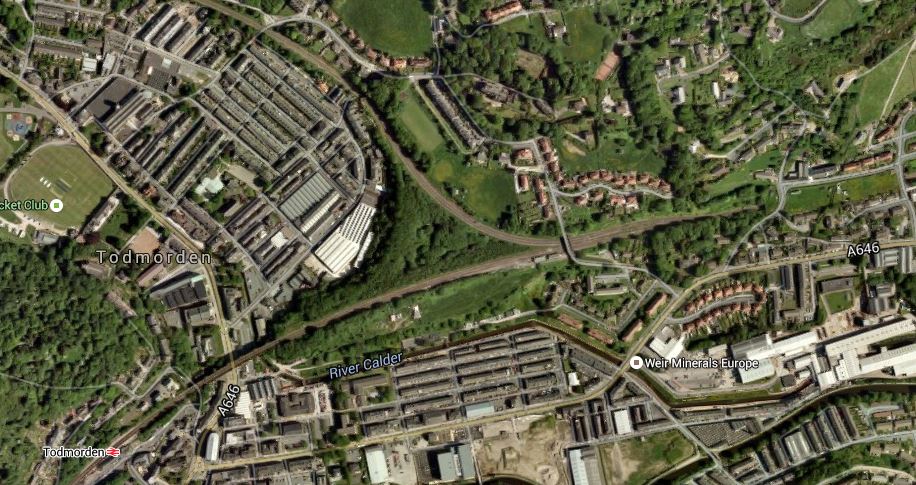
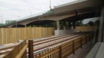
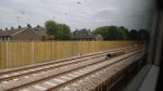
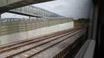
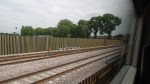
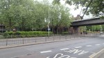
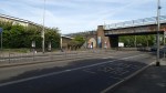
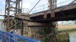
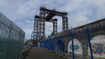
Rounding The Todmorden Curve
I took these pictures as my train rounded the Todmorden Curve.


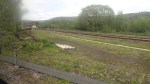
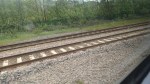
I was sitting on the left hand side of my train, which was going from Burnley to Todmorden and it did a sharp slow right turn to arrive in Todmorden station. This Google Earth image shows the location of the curve, but unfortunately, there is no image with the new curve.
Location Of The Todmorden Curve
Both lines to the east join and then lead to Hebden Bridge station. The line that goes on the top of the triangle leads off to the west and Burnley Manchester Road station and the line on the bottom of the triangle, that leads to Todmorden goes off to the South and eventually Rochdale and Manchester Victoria stations.
I think it is true to say, that this five hundred metres or so of new track, at a cost of just over eight million pounds has been designed and executed to a high standard and it will be interesting to see how the new curve effects the prosperity of this area of Lancashire.
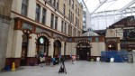
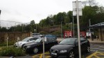
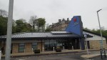
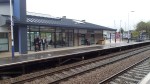
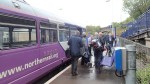
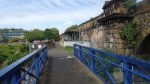
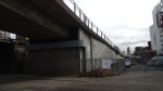
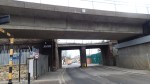
Catching The Todmorden Train At Blackburn
These pictures are from Sunday and Monday, where I caught a train at Blackburn station for Manchester Victoria via Accrington, Burnley Manchester Road Todmodern stations.
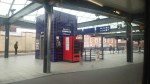

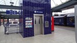
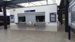
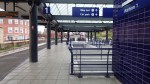


As the pictures show it has recently been rebuilt to an island design, with a separate platform 4, which is generally used for the services between Blackpool and Colne.
I met a reporter from BBC Radio Lancashire today and said that there is no information at the station on how to get to the football ground. I then asked him about getting to the hospital from the station and he said it was difficult, especially as parking at the hospital isn’t the best.
Towns like Blackburn should have a frequent bus that calls at the station, that visits the important places in the town where visitors might want to go. From personal experience of getting to Ewood Park from the station, Blackburn is not one of the best and a bus service should be provided on match days, that is well-signposted as to how it is used at the ground and the station.
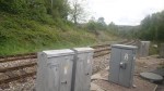
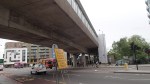
Track Laying At Abbey Wood
The Crossrail contractors have started laying the track between Abbey Wood station and the Plumstead portal.


The first picture was taken from the bridge at Abbey Wood station looking towards Plumstead shows the kink in the North Kent Line, as it shifts to the right.
It would appear that the new Abbey Wood station has two island platforms, with the one on the Southern side serving the existing North Kent Line and the other on the Northern side giving two platforms for Crossrail. So it looks like the current platforms 1 and 2, will become 2 and 3.
Correct me, if I’ve got this wrong!
It will be an interesting site to watch in the next few years.
All Change At Barking
Over the next few years there are going to be changes at Barking station.
Barking and Dagenham Council have plans to redevelop the station, but compared to many 1960s stations built by British Rail, Barking station isn’t one where you need to call in the heavy demolition squads. From what I’ve seen elsewhere, a partnership between good architects and a competent construction company, should be able to create a station fit for the twenty-first century.
The station is also served by two ambitious operators; Transport for London, with both Underground and Overground and c2c with services along the Essex Coast.
So I have this hope that between the three of them, they can turn Barking into another East London gateway to Essex alongside Liverpool Street and Stratford.
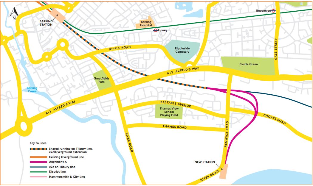
It has also been announced that the Gospel Oak to Barking Line will now be going to a new station at Barking Riverside.
Transport for London have now produced two options about how this line will link up to the station.
This is Option A, which would need two single track viaducts.
Barking Option A
And this is Option B, which gives the option of a second station and needs a double-track viaduct.
Barking Option B
As both link into Platforms 7 and 8 at Barking station, there would appear to be little difference between the two options except for the ability to have a second station with Option B and the possibility of one track layout being cheaper.
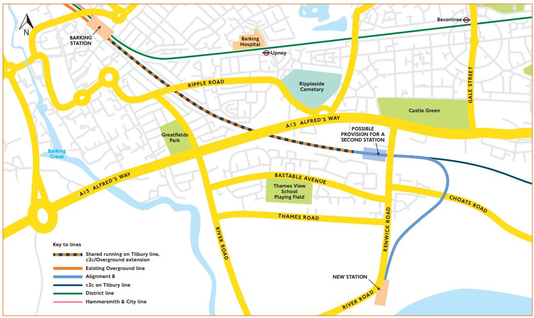
This Google Earth image shows Barking station.
Barking Station
Platforms 7 and 8 are at the southern side of the station. So this means that trains from Gospel Oak, will have to criss over several lines to get from the northern side to the southern. But this is not a problem here, as there is a flyover, which has been built to get freight trains across the main lines. If this hadn’t been built sometime in the past, then extending the GOBlin to Barking Riverside would be a lot more expensive.
When I was at Barking recently, Underground and c2c trains were using opposite sides of the same platforms, thus allowing cross-platform interchange.
This would appear to be the platform usage.
1 – Bay platform for Gospel Oak to Barking trains
2 – Eastbound Underground – Paired with 4
3- Bay platform for Underground – Tucked between 2 and 4
4 – Eastbound c2c – Paired with 2
5 – Westbound c2c – Paired with 6
6 – Westbound Underground – Paired with 5
7 – Eastbound c2c – Paired with 8
8 – Westbound c2c – Paired with 7
If there is a problem, it is that to change between c2c and the Underground isn’t always a simple cross-platform interchange, but sometimes up and down steps. As getting on the Underground at Fenchurch Street isn’t simple and West Ham is similar to Barking with lots of steps, it would seem that this neglected part of London needs a few station improvements.
This won’t get any better after Barking Riverside is served, as this will put extra trains through platforms 7 and 8.
I would assume that Network Rail have a cunning plan up their sleeves.
It would surely be better if all c2c trains used either platform 4 to go east and 5 to go to west to Fenchurch Street.
This may not be possible with the current track layout, which would appear to split into the two services via Basildon and Ockendon respectively to the west of Barking station. The southern route via Ockendon, branches away soon after the station, so moving the junction to the east of the station to use just a single platform in each direction, might not be possible.
But a better platform layout would make it more difficult for passengers to get lost or miss connecting trains at Barking.
I think in a few years time, Barking will have an important interchange station, adding significantly to the transport options of the area.
New Routemasters On Westminster Bridge
As I walked along the Albert Embankment, I took these pictures of New Routemasters crossing Westminster Bridge.
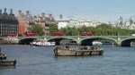
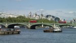
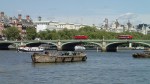
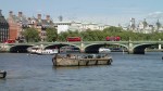
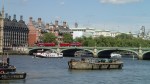
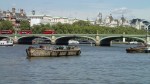
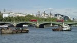

They are really becoming part of the scenery.
Railway Arches On The Greenwich Line
Wikipedia says this about the railway built between London and Greenwich Railway.
The railway was opened in London between 1836 and 1838. It was the first steam railway in the capital, the first to be built specifically for passengers, and the first elevated railway.
As it’s a line on a viaduct it has lots of arches.

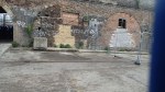


And as the picture shows, many are good ones and seem to be being used profitably.
As I said in the piece on the Greenwich Pumping Station, the area between the blue bridge and the Pumping Station at Greenwich could become a quality leisure area, with waterside cafes and shops, overlooked by a hopefully-restored Deptford Creek Lift Bridge.
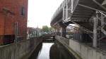
Deptford Creek Lift Bridge
You don’t see many lift bridges these days and until a few days ago, I hadn’t realised that this one was there on the Greenwich Rail Line over Deptford Creek.


This report in East London Lines gives details on the current state of the bridge. This is an extract.
The bridge has not been used in several decades and the lifting section was welded shut into ‘down’ position over 10 years ago.
Locally the bridge is a popular sight as well a visual reminder of Deptford’s industrial heritage. The rumours did not go down well with some residents.
The rumours were about demolishing the bridge.
I doubt that will happen.
According to Wikipedia this area was the site of the Battle of Deptford Bridge, which was the last battle of the Cornish Rebellion of 1497.
The DLR From Greenwich To Deptford Bridge
I’d never seen the DLR to Lewisham from the outside, so when I travelled it this morning, I took some pictures, as I walked around the viaduct.


-

- OLYMPUS DIGITAL CAMERA
In my view it is a classic concrete viaduct, that has been used to slot the Docklands Light Railway between the two stations.
