Ilkeston Station Opens
I went to the new Ilkeston station this morning and took these pictures.

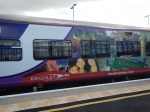
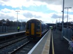

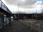
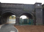
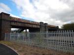

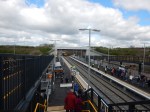
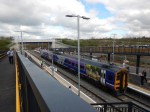
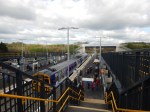
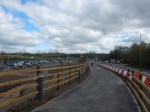
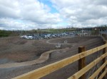
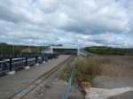
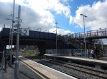
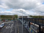
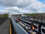
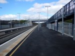
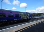
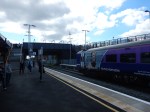
It is not the most sophisticated of stations and it is worth comparing the design with Lea Bridge station.
This picture is from A Look At Lea Bridge Station, which shows the station in detail.

Comparing Ilkeston and Lea Bridge stations, there are similarities and differences.
- Both stations are built adjacent to existing road bridges.
- Both road bridges have some good brickwork and a utilitarian span over the railway.
- Both stations have two platforms on the outside of a double-track main line.
- Both stations don’t have ticket barriers.
- Lea Bridge has lifts and Ilkeston has long ramps for step-free access.
- Lea Bridge is fitted with comprehensive CCTV for Driver Only Operation (DOO). Ilkeston is not!
- Ilkeston has car parking and Lea Bridge has none.
Both stations cost around ten million pounds, with perhaps Lea Bridge slightly more because of the lifts and DOO cameras.
My Overall View
I think that Ilkeston station is a job well-done by the architect to keep costs to a minimum for a well-functioning station, that meets all current and future regulations.
These are more details on various features.
The Station Entrance
One of my gripes with Lea Bridge station, is that when I use that station, I take a bus to it, which drops me just before the road bridge over the station. I then have to walk past the station footbridge, with no possible access and in a great circle to get to the station entrance at the side.
At Ilkeston, those walking to the station by the side of the road that crosses the bridge, just walk over the station footbridge, from which they walk down to their chosen platform.
This is a much better arrangement and will surely suggest to passers-by, that using the train isn’t a hassle.
When I went to Ilkeston, some months ago, I remember that the area between the Town Centre had what developers call potential and perhaps could be turned into a green walking and cycling route.
This Google Map shows the relationship between the town and the station.
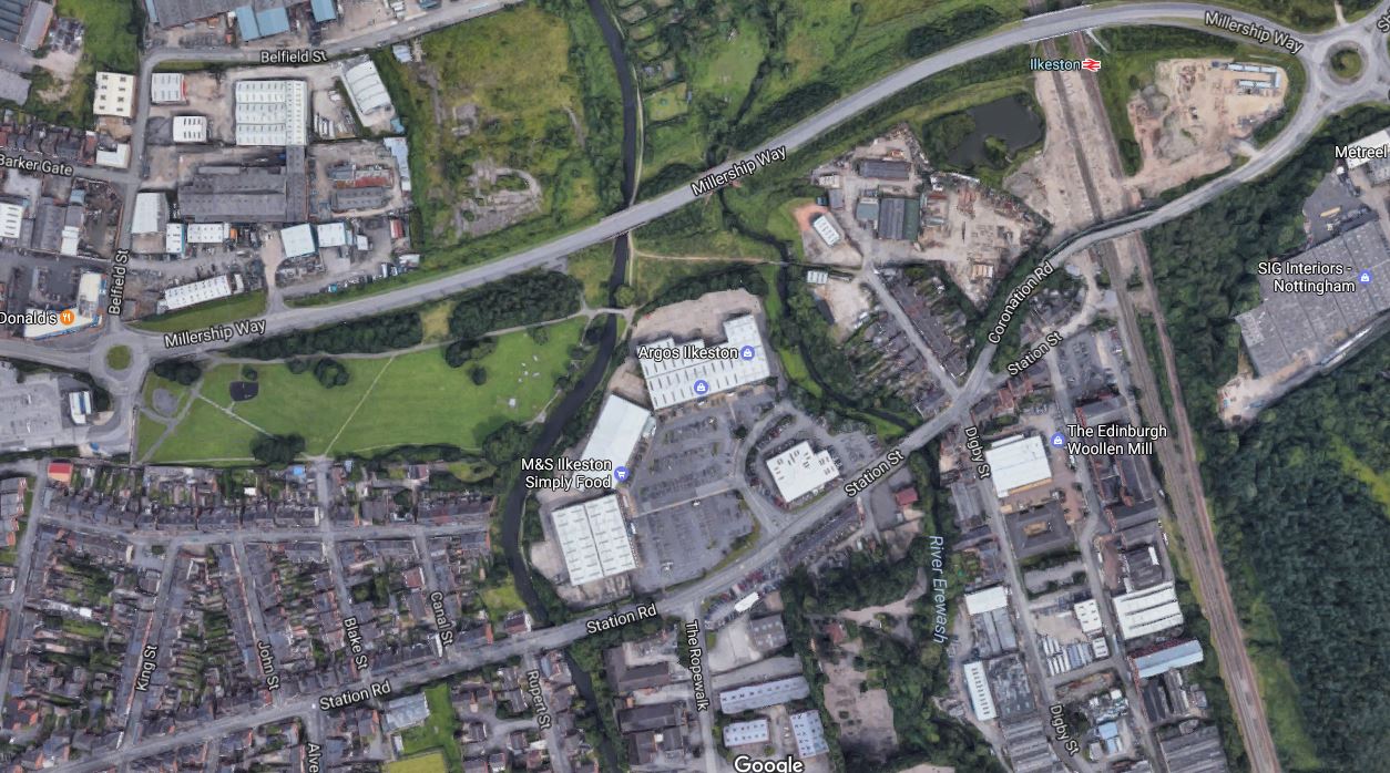
It certainly isn’t as desolate as the Town Centre was on my last visit. There’s even a Marks and Spencer’s Simply Food store in a retail park, just a couple of hundred metres from the station.
I made a mistake in not exploring that way today, as it looked not to be finished.
I shall return!
Car Parking
The car parks are on both sides of the tracks, which is good for the able-bodied passengers, as if space allows they can park where is best for their personal circumstances.
My one worry about the car parking, is that 150 spaces might not be enough.
On the other hand car ownership is low in the Erewash Valley! So perhaps they expect a lot of passengers to walk to the station.
Access To The Platforms
At present, the landscaping is not finished on the Nottingham-bound side (Platformk 2) of the station and I suspect the walking route to the platform will be improved.
But supposing you are a passenger with a touch of arthritis and failing eyesight. Whatever side you park your car, you will have to negotiate both long ramps to cross the tracks, when you catch a train out of Ilkeston or on your return.
But saying that several London Overground stations near me use long ramps and there doesn’t appear to be too many protests.
Lifts would of course be better. But a lot more costly!
Picking Up And Dropping Off Passengers
The drop-off/pick-up point is by the Chesterfield-bound Platform 1, but I suspect that when the station is completed, drivers will be able to do the drop-off/pick-up in the car park by Platform 2.
Taxi Rank
The taxi rank is by the Chesterfield-bound Platform 1, so passengers arriving on Platform 2 will have to cross the tracks on the footbridge.
I did talk to a taxi driver called Paul Kitchener, who is one half of a taxi company called Paul and Jackie Taxi. I was able to find them on Fscebook, so if you have special needs for a taxi and you don’t live in Ilkeston, you could always contact them first.
Shelters and Ticket Machines
As expected a shelter is provided on both platforms, but perhaps more surprisingly, there is a ticket machine on both platforms as well.
Thjs duplication of ticket machines is to be welcomed, as is placing them in an obvious place on the platform.
The Germans make their ticket machines very easy to find, which is not often the policy of some of our train operators.
Two ticket machines by stairs to the footbridge, which pedestrians will use as access to the station, is an idea, that might result in more revenue for the train operator.
Bike And Motor-Cycle Parking
I didn’t see much, although there were a few hoops outside Platform 1
Coffee Kiosks
A guy from London Overground, told me that if you have a coffee kiosk on the platform, it may attract more passengers.
The platforms at Ilkeston might not be quite big enough for a kiosk, but I’m certain the architect has ideas.
Future Proofing
There have been troubles recently, where stations have been built without enough clearance for future electrification.
Without getting out a measure, it appears that the two existing road bridges and the new foot-bridge at Ilkeston, may have enough clearance to satisfy the most nit-picking of inspectors. The bridge that could be dodgy is the rusty road bridge and that would not be the most difficult bridge to replace with a new one.
Perhaps, as it has not been given a coat of paint, the new bridges are being constructed, as I write.
The design of the station, would also allow the following.
- Two fast lines through the station, between Platform 2 and the boundary fence, where there is already an avoiding line.
- The possibility of putting a second face on Platform 2, so that a bay platform or a platform on a fast line could be created.
- The addition of lifts.
I also suspect that the platforms are long enough for a Class 222 train to call.
A Good Local Reaction
One of the staff told me that he reckoned about five hundred people had come to have a look at the new station, which he felt was more than expected.
Several, that I spoke to seemed enthusiastic.
One couple, I spoke to, said forty-eight pounds each was a lot to get see their daughter and her family. But yet again, they hadn’t heard of the Two Together Railcard. They felt thirty-two pounds was a lot more reasonable.
Services
Current services through the station are an hourly train between Leeds and Nottingham via Sheffield and a two-hourly service between Liverpool and Nottingham via Manchester.
This gives an impressive list of destinations from Ilkeston, that includes Barnsley, Chesterfield, Ely (for Cambridge), Leeds, Liverpool, Manchester, Norwich, Nottingham and Sheffield.
But what is missing are connections to Birmingham, Derby, London and Mansfield.
London will be solved in the future, when passengers by their journey hsbits put sufficient pressure on the train operator.
A solution for Derby and Mansfield was proposed in this article in the Nottingham Post which is entitled Hopes HS2 could see ‘Maid Marian Line’ opened to passengers.
There is a freight-only line between Kirkby-in-Ashfield station on the Robin Hood Line and Pye Bridge on the Erewash Valley Line, on which Ilkeston is situated.
The proposal would allow trains to go between Kirkby-in-Ashfield via Pinxton and Selston to Langley Mill and Ilkeston and then on to Toton for HS2.
From there services could go on to Nottingham or Derby and also give access to the Nottingham Express Transit at Toton.
In my view, the ideal service would be Mansfield to Derby via Kirkby-in-Ashfield, Langley Mill, Ilkeston, Toton (when built), Long Eaton and Spondon.
At Derby, there is also up to four trains per hour to Birmingham.
Conclusion
This is a fine station, which has been built at a keen price, which with more services will be a big asset to Ilkeston.
Could There Be An Overground Station At East Brixton?
This post is based on another snippet from the Kent Route Study, which you can download from this page on the Network Rail web site.
The study says this about the possibility of reopening East Brixton station.
5.15.17. There was a station at East Brixton on the rail route between
Denmark Hill and London Victoria which closed in 1976. The station
site sits within the London Borough of Lambeth.5.15.18. As with Camberwell, there have been numerous calls from
local stakeholders to reopen the station over the years. The London
Borough of Lambeth is keen to reopen the station to improve the
connectivity of Brixton town centre to orbital rail routes, building on
the success of the London Overground route to Clapham Junction
which opened in 2012. If reopened the station would be served
solely by London Overground services operating to and from
Clapham Junction via the East London Line.5.15.19. The London Borough of Lambeth are therefore leading a
review of the business case and demand for East Brixton station
with support from Transport for London and Network Rail. This
review will include consideration of the impact of a new station on
local development opportunities. It is expected to complete during
early 2017 and will determine whether or not the station has a
viable business case. Any further developments will be reported in
the final Route Study.
If you look at this map from carto.metro.free.fr.
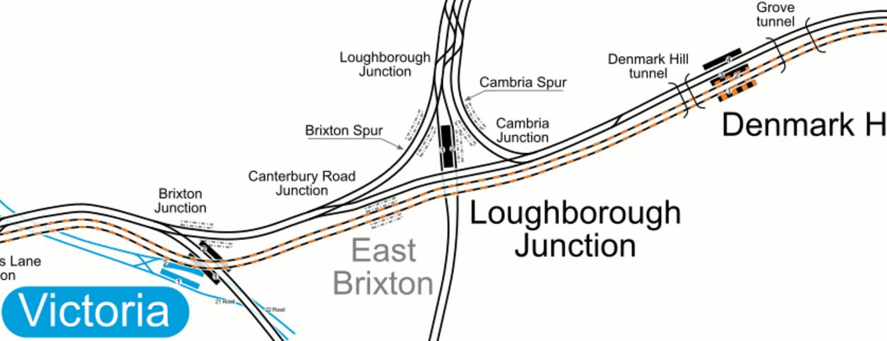
East Brixton station is clearly shown on the tracks now used by the East London Line.
These pictures show the railway and what remains of the station on Moorland Road.
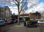


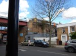
I spotted the station because of the signature brickwork of the window, which you see in several stations in South London like Peckham Rye station, which was designed by Charles Henry Driver.
This Google Map shows the location of the station.
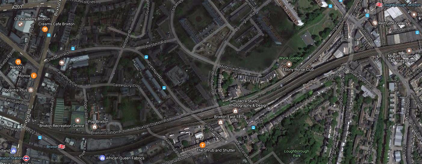
Loughborough Junction station is in the North-East corner of the map, with Brixton station in the South-West corner.
Note that the venue; Brixton East 1871 is shown in the pictures and on the map.
In an ideal world Loughborough Junction and Brixton stations should have platforms on the Overground, but budgets are not limitless, so neither of them has.
But perhaps an option to build a station at East Brixton is a good compromise and will break up the long stretch between Denmark Hill and Clapham High Street stations.
It may look a stiff climb to the platforms, but it is no more than some other Overground and DLR stations. Lifts would be essential.
Could We See A Plastic Station?
The Pedesta Bridge, that I talked about in Would You Trust Your Weight On A Thirty Metre Long Plastic Bridge?, has got me thinking.
Look at this picture of the soon-to-be-built Maghull North station.
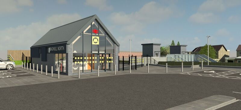
Maghull North Station Building
The station would appear to be in a cutting with lift towers sticking their heads above the cutting and these are connected by an open walkway to the station building.
Pedesta bridges would surely be a lot easier to slot between the station building and the lift towers., than the traditional heavy steel and glass constructions. From pictures on various web sites, the bridges could even have a roof to protect travellers from the weather.
But why stop at just the bridges?
Could we see prefabricated plastic steps for example?
Anything that cuts the cost of new stations, would surely mean more!
Reopening The Anglesey Central Railway
Note that this post was updated in October 2021.
The Anglesey Central Railway is a disused branch railway, where the track-bed is intact although overgrown, that runs across the Island of Anglesey from the North Wales Coast Line to the port town of Amlwch.
It carried freight until 1993 and is one of those remote lines, where a case can be made for reopening., using simple station designs and affordable trains.
On its route it serves the County Town of Llangefni and these stations are proposed, either on the branch or the island
With the existing stations on the North Wales Coast Line, a useful local railway could be created.
But would it be value for money?
These are a few of my thoughts.
Bangor Station
Bangor station looks like the ideal place to terminate the service from the Anglesey Central Railway.
This Google Map shows Bangor station.
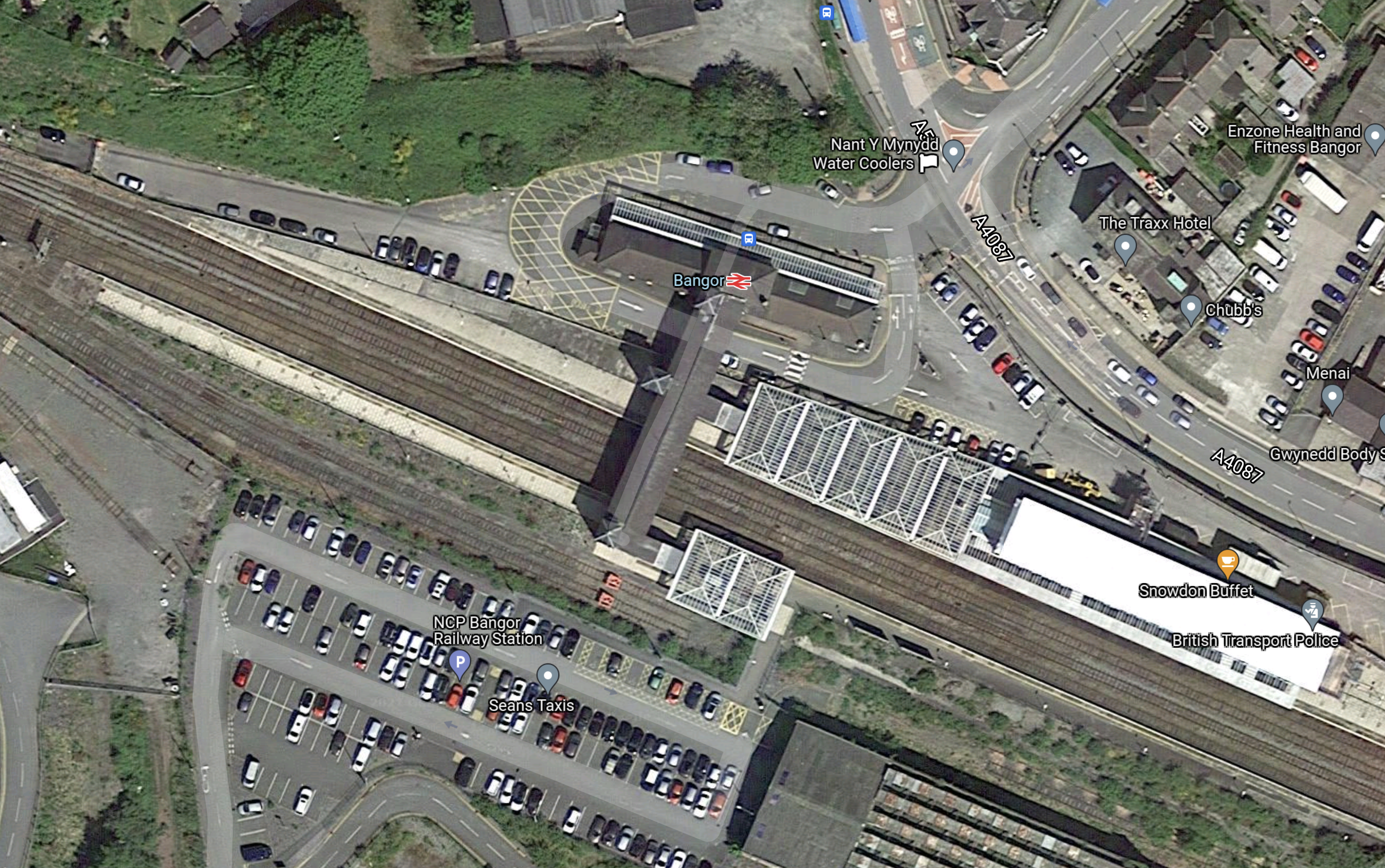
Note.
- Anglesey is to the West.
- There are four tracks through the station. This will allow trains to overtake.
- Only the outside two tracks have platforms.
- The platforms are long enough to handle at least a two-hundred metre long train. They could even be long enough to handle a pair of Aventi West Coast’s new Class 805 trains, which would be 260 metres long.
- There are a couple of Anglesey-facing sidings, which probably could be converted into at least one bay platform.
- I suspect in a city like Bangor, there is probably enough electric power to provide charging facilities in an Anglesey-facing bay platform.
I can’t see any problems with terminating Anglesey Central Railway services at Bangor.
Battery-Electric Trains Between Bangor And Amlwch
Consider.
- Bangor and Amlwch would be around 25 miles.
- Modern battery-electric trains have a range of up to 80 miles.
- Battery-electric trains can fully recharge in 15 minutes.
This means that with charging facilities at Bangor, modern battery-electric trains could handle a return journey between Bangor and Amlwch.
I suspect that a very acceptable two trains per hour (tph) should be possible.
Hydrogen Trains Between Bangor And Amlwch
These would also be possible, once a refuelling strategy has been decided.
Developing The Ebbw Valley Railway
There are various developments proposed for the Ebbw Valley Railway.
A Second Hourly Service To Newport
In Proposed Additional Services in the Wikipedia entry for the line, this is said.
A second hourly service to Newport is proposed for the line. A South East Wales Transport Alliance (Sewta) report in 2006 noted that additional infrastructure work would be required to enable the service to become half-hourly (one train running to Cardiff and another to Newport). An additional seven miles (11 km) of double track would be needed between Aberbeeg Junction and Crosskeys and additional platforms at Newbridge and Llanhilleth stations would be required.
Network Rail says additional work needs to be done, but from various news reports, the service from Ebbw Vale Town to Newport is some years away, but could be completed in 2018.
Possible Stations
In A Look At New Station Projects, I’ve found several.
- Aberbeeg has been proposed for reopening.
- Abercarn has been proposed for reopening.
- Abertillery has been proposed for reopening on a new branch.
- Cwm has been proposed for reopening.
I’m sure there could be others.
Worcestershire Parkway Station Under Way
This article in the Worcester News is entitled PICTURES: Lift off! Clearance work underway for Worcestershire Parkway.
Enough said! Especially as the pictures are informative!
But with similar signs of a new station at Meridian Water, it seems to be good news for those who want new stations.
The South Wales Mountain Railway
South Wales might not have the reputation of beautiful mountains, of say Snowdonian, the Cairngorms or Switzerland, but some of the Valley Lines that go up to places like Merthyr Tydfil and Ebbw Vale Town stations have spectacular views.
I was looking for a possible station at a village called Nelson and found a single-track railway passing to the North of the village.
I followed the track with my helicopter up the mountain and this is a Google Map of what I found.
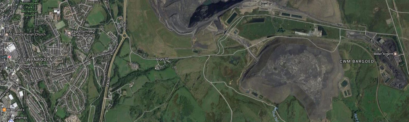
Merthyr Tydfil And The Ffos-y-fran Land Reclamation Scheme
The station on the left is Merthyr Tydfil and on the right is the massive Ffos-y-fran Land Reclamation Scheme. This is opening paragraph in the Wikipedia entry.
The Ffos-y-fran Land Reclamation Scheme is a major opencast coaling operation to the north-east of Merthyr Tydfil in South Wales. Miller Argent is owned by Gwent Investments Limited, which is based in South Wales and is a privately owned family business. The scheme development is the last part of the East Merthyr Reclamation scheme, and will extract 10 million tonnes of coal over 15 years, the revenues from which will redevelop the current former industrial workings into residential and recreational use.
It is a controversial scheme and I am usually against using coal for combustion purposes, but some of these Welsh landscapes are dotted with dangerous mine workings and slag heaps, so they certainly need cleaning up.
There is a Transport section in the Wikipedia entry for the scheme. This is said.
Under agreed planning rules, the site is not allowed to transport coal from the site via road. All extract is therefore moved to the rear (East) of the site where the coal is separated and washed at the Cwmbargoed Washery. Built in 1959 on land to the north and east of the railway connection to Fochriw Colliery, the coal washery was refurbished by Celtic Energy in 1992. DB Schenker trains then move the washed coal from site to Aberthaw Power Station, along the former route of the Rhymney Railway. Joining the modern Rhymney Line just south of Ystrad Mynach railway station, the trains then travel onwards via Cardiff and the Vale of Glamorgan Line to Aberthaw, enabling Ffos-y-fran to supply 40% of the coal to Aberthaw power station.
It must be challenging driving a Class 66 locomotive with a train of full coal wagons down the mountain.
It was this railway I had followed up the mountain.
Before I leave Merthyr Tydfil, look at this Google Map of the town.
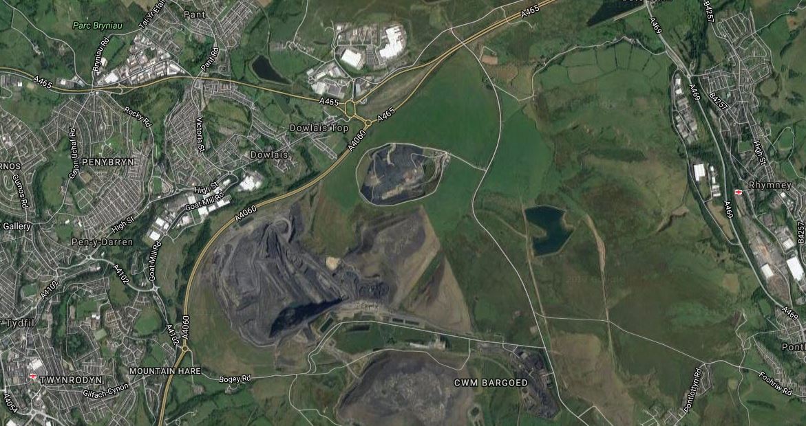
Merthyr Tydfil And Rhymney
The East Merthyr Reclamation Scheme is in the middle, flanked by Merthyr Tydfil in the West and Rhymney in the East.
So if the Authorities in South Wales are thinking of building a station on this line at Nelson, are they thinking of reopening this line after the scheme has finished extracting coal, as a second rail route to Merthyr Tydfil?
Coming back down the mountain from Merthyr, the first possible station from my list of possible stations is Bedlinog.
This Google Map shows the rail line going through the village.
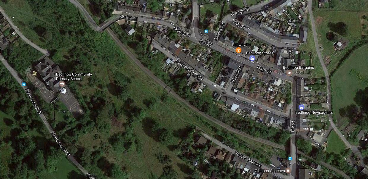
Bedlinog And The Railway
Note that Bedlinog already has a Railway Inn.
After Bedlinog, the next one on the list is Trelewis. This is the Google Map
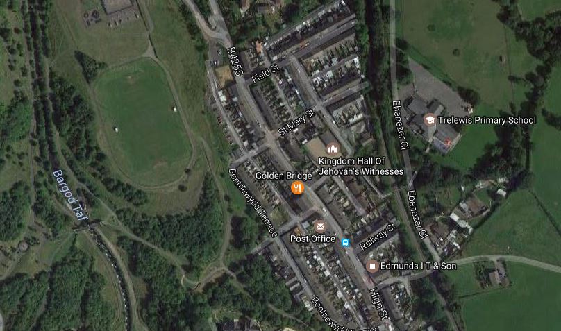
Trelewis And The Railway
The railway goes between the Primary School and the Kigdom Hall.
And then it’s back to where I started this quest at Nelson, of which this is the Google Map.
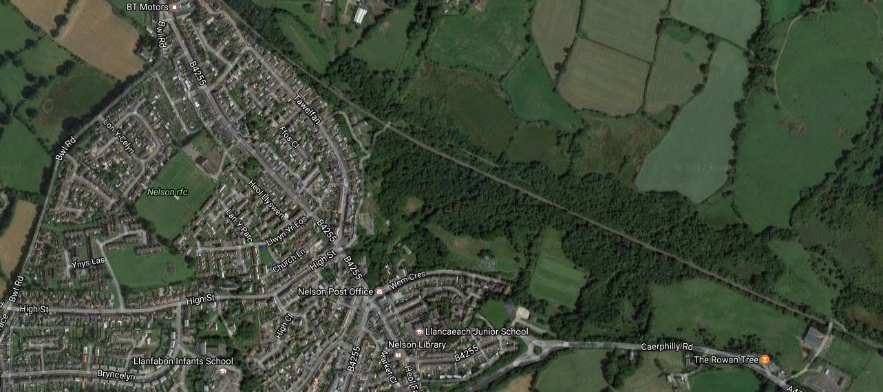
Nelson And The Railway
The railway then goes South-East to join the Rymney Line at Ystrad Mynach station.
Trains For The Route
The task of hauling empty wagons up the mountain is not to much for a Class 66 locomotive, so I suspect that a multiple unit could be designed to handle a route like this, of which there are several in the Cardiff Valley Lines.
Either electric or diesel multiple units could probably manage the climbs, if they were designed for it, but would electreifying these routes be a feasible undertaking, given the difficulties of working on these busy lines.
But train technology is moving on and with the Class 319 Flex, we are getting close to having a true tri-mode train, with diesel, electric and battery power.
The Welsh Government have said they want new trains for these routes and I suspect engineers are working on a product tailored to run these routes efficiently.
So could we see a quad-mode train for the Valleys?
- Four-car electrical multiple unit.
- Onboard energy storage.
- Perhaps even a small diesel generator for the difficult bits.
- Gravity power, which the lines have in abundance, to use with regenerative braking to charge the batteries on the descent.
- As modern trains can deploy pantographs automatically, some selective electrification could be added as the project develops.
I would also commit the ultimate heresy and use third-rail electrification on the steep parts at the heads of the valleys.
Consider.
- Bombardier, Siemens and others make reliable dual-voltage trains.
- Both electrification systems have their good and bad points.
- It must be less intrusive and disruptive to install third-rail electrification.
- Is overhead electrification more prone to weather damage?
- Network Rail seem to be terribly accident-prone when it comes to overhead electrification.
In the end costs and overall reliability will decide.
But I do think sometimes, that Network Rail always chooses overhead electrification, even if third rail will be more reliable, less intrusive and more affordable.
But I’m sure that all the technology has now been proven to create a very efficient modern electric train to work the Valley Lines, which have been electrified using a great deal of innovation and common sense.
Two Stations For Guildford
Guildford station is one of those stations that is very crowded.
So the Borough of Guildford is promoting two stations, one in the East and one in the West.
Merrow Station
A station at Merrow is proposed in the East on the New Guildford Line between London Road and Clandon stations.
This Google Map shows the location.
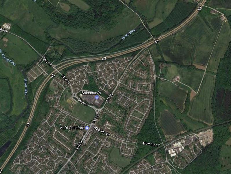
The station is proposed to be on the site of Merrow Depot, which is in the South-East corner of the map, with the railway line conveniently across the North of the site.
Guildford West Station
A station in the West of Guildford is proposed on the Ascot-Guildford Line between Guildford and Wanbotough stations, close to the Royal Surrey Coumty Hospital.
This Google Map shows the location.
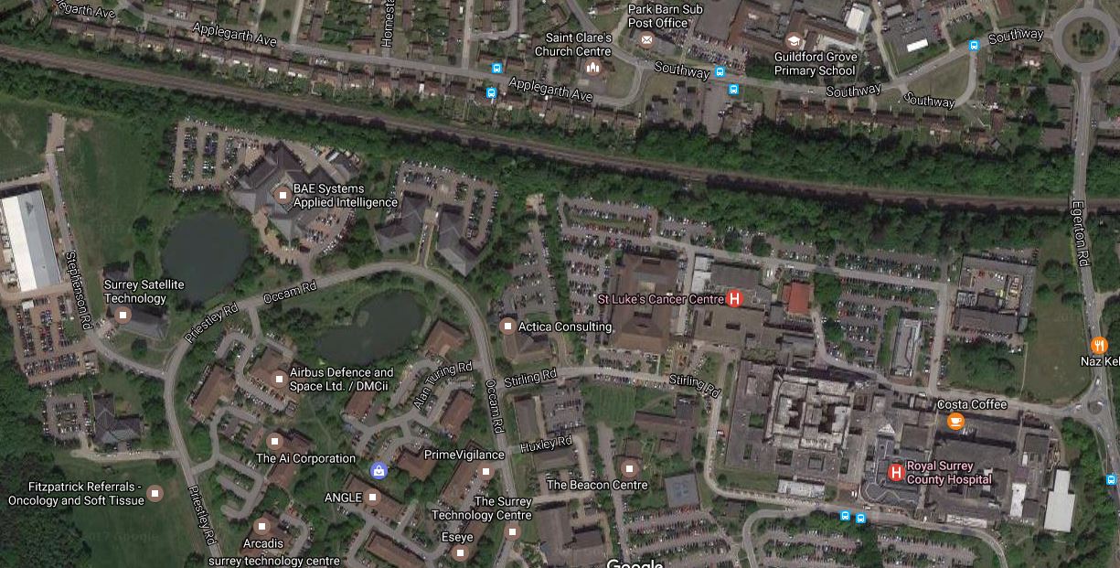
It is certainly a very convenient station for the hospital and the technology park.
There must be scope given that the railway is in a wide cutting, to do some development over the station and the railway.
A Plea For A Shropshire Metro
Shrewsbury station is not one of the best stations, as I remarked in Passing Through Shrewsbury Station.
Clean toilets and a Starbucks doth not a station make!
I was drawn to this letter in the Shropshire Star, which was entitled Better rail investment would reduce problems on the roads.
The writer details some of the problems on the five rail lines that meet at Shrewsbury, which they start with this paragraph about the lack of parkway stations.
Shropshire, in particular, could benefit enormously from reopening old stations in the form of parkways or even parkways near to where stations used to be. Thus the five lines running into Shrewsbury are badly serving the public except the one from Crewe which does still have small stations, utilised occasionally but could be improved by upgrading to parkways and additions.
The writer also says that Hereford is just as bad.
This map shows the lines meeting at Shresbury.
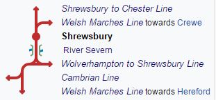
The lines meeting at Shrewsbury station are as follows.
- Shrewsbury to Chester Line with 4 open and 14 closed stations before Chester.
- Welsh Marches Line to Crewe, with 6 open and 4 closed stations before Crewe.
- Wolverhampton to Shrewsbury Line, with 8 open and 5 closed stations before Wolverhampton
- Cambrian Line, with no open and 6 closed stations before Welshpool.
- Welsh Marches Line to Hereford, with 4 open and 15 closed stations before Hereford.
There certainly were a lot more stations in the past.
But it does appear that some new stations are in the pipeline.
Adnaston
Admaston is a possible reopened station on the Shrewsbury to Wolverhampton Line.
Baschurch
Baschurch is a possible reopened station on the Chester to Shrewsbury Line.
Cefn
Cefn is a possible reopened station on the Shrewsbury to Chester Line.
Hadnall is a possible reopened station on the Welsh Marches Line.
Johnstown
Johnstown is a possible reopened station on the Shrewsbury to Chester Line.
Meole Brace
Meole Brace is a possible new station in Shrewsbury.
Conclusion
It looks like the letter writer’s plea has been answered.
Putting four trains per hour on all of the routes from the centre at Shrewsbury would probably create a more than acceptable system.
It looks like the trains would have to be diesels, as I can’t see much electrification in this area.
But who knows what will happen, if someone develops a fast charge system for a hybrid/battery train, that could be implemented at Chester, Hereford, Shrewsbury and Wolverhampton?
The No Frills Station
I’m always putting in the same picture of Zwickau Zentrum station on the Vogtlandbahn in Germany into posts, so I thought I should give the picture a post of its own.
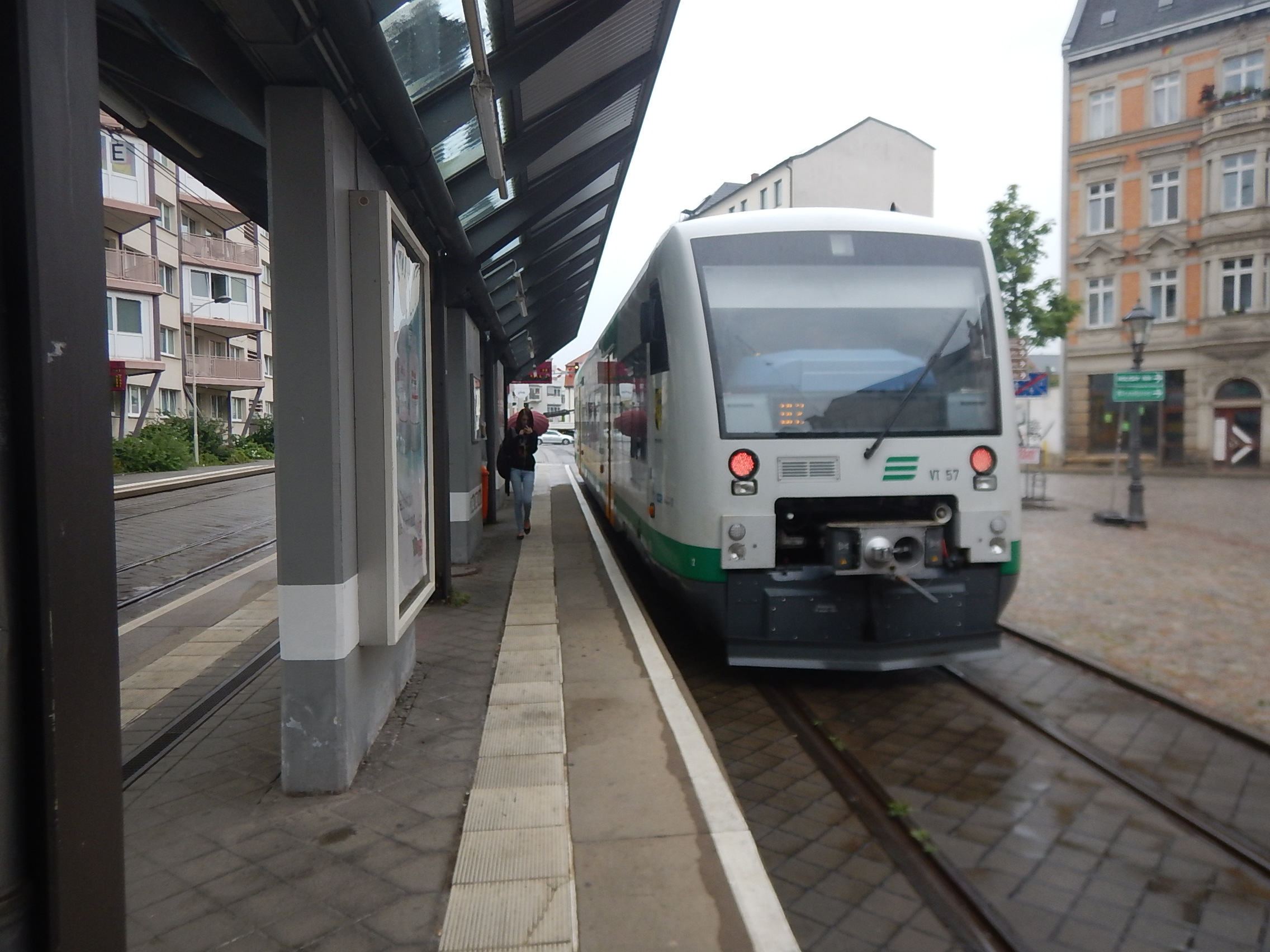
The station is one of the simplest I’ve ever seen and it has been designed very much like a tram stop.
- There is no footbridge, as if travellers need to cross the line, they just walk round.
- The access is as step-free as it gets in Germany.
- The other side of the platform is a stop for Zwickau’s trams.
- There is no electrification, which must improve safety.
- The station could be made long enough for any train that might call.
- The station has been landscaped into the local environment.
But we’re starting to see simple stations like this in the UK.
These pictures show Galashiels station on the recently opening Borders Railway.
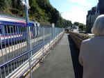
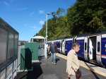
Galashiels is an interesting solution, as there is a single-platform step-free railway station on one side of the road and a comprehensive bus interchange on the other with seats, cafes, shops and warm shelter.
Both Zwickau Zentrum and Galashiels are served exclusively by diesel trains and as electrification can be a hazard to some passengers and is expensive, I would feel that most stations like this, would be better served by trains that are self-powered.
We shall be seeing more simple station designs like these, as architects and designers get very innovative.

