I Shall Be Going To The Opening Of Blyth Bebside Station On Sunday, the 19th October
In Railway Station Opening Date Announced, I said that Blyth Bebside station will open on October 19th.
I intend to go and add my travel times, when I book tickets.
Should New Stations Be Shown On Google Maps With Opening Dates?
I recently posted a comment on The Times recently, where I suggested a guy was opening one of his coffee shops in a town, that was getting a new railway station.
Another, who commented, suggested that I look at Google Maps to see their relative positions.
The coffee shop was shown, but the station wasn’t.
Surely, once the position of the station is known, it should be marked on Google Maps with an opening date, as this could help people take important decisions about their life.
Blyth Bebside station on the new Northumberland Line between Newcastle and Ashington is already shown with the familiar logo, despite not opening until the 19th of October.
The other two unopened stations on the line, which are Northumberland Park and Bedlington, are going to open next year, are also shown with familiar logos, but no opening date.
Someone in Network Rail, needs to be given the responsibility to make sure that details like this are correct.
In the case of Blyth Bebside station, I can see two different captions indicating the station on Google Maps.
- Before October 19th 2025 – Blyth Bebside – Opens 19th Octopber 2025.
- After October 19th 2025 – Blyth Bebside – Opened 19th Octopber 2025.
Detailed labeling may even help deliveries during construction.
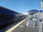
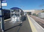
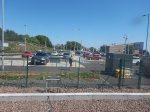
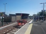
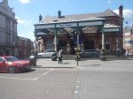
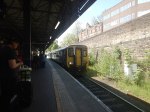
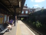
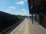
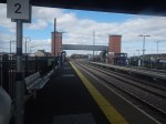
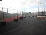
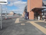
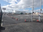
Leven Station – 15th May 2025
I was only at Leven station for a few minutes, but I was able to take these pictures.
Note.
- There are two platforms, one each side of a wide island.
- The platforms are 205 metres long.
- As four-car Class 385 trains are 93.3 metres long, each platform will be able to take a pair of four-car Class 385 trains.
- Will the station platforms be used to stable four trains overnight.
- The car park has 134 spaces.
- On approach to Leven station, there appears to be a crossover, which allows trains to use either platform.
From the Wikipedia entry for Leven station, it appears a second hourly service starts on the 18th May 2025, with services alternating between going via Kirkcaldy and Cowdenbeath.
It also appears that last night (17th May 2025) two trains spent the night in Platform 1 at Leven station.
In The Lack Of Information At Edinburgh Waverley Cost Me £55.10, I explain, why the chaos at Waverley station didn’t give me enough time to do more on Thursday.
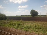
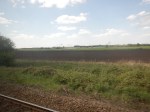
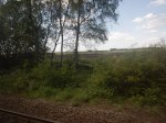
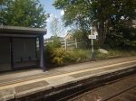
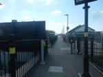
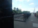
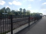
Wigan Wallgate To Headbolt Lane – 10th May 2025
I was now running late and decided to go back to Liverpool via the Kirkby Branch Line, with a change of train at Headbolt Lane.
I took these pictures along the route.


Note.
- Wigan Wallgate station could be refurbished into a quality station.
- Manchester to Wigan Wallgate is likely to be electrified, as I wrote in Bolton-Wigan £78m Rail Electrification Project Announced.
- Headbolt Lane station is a new station.
- The other stations on the line are fairly rudimentary affairs.
- Only Headbolt Lane station is step-free, as all platforms are on the same level.
The Kirkby Branch Line runs across the flat Lancashire countryside.
This Google Map shows the unusual layout of Headbolt Lane station.
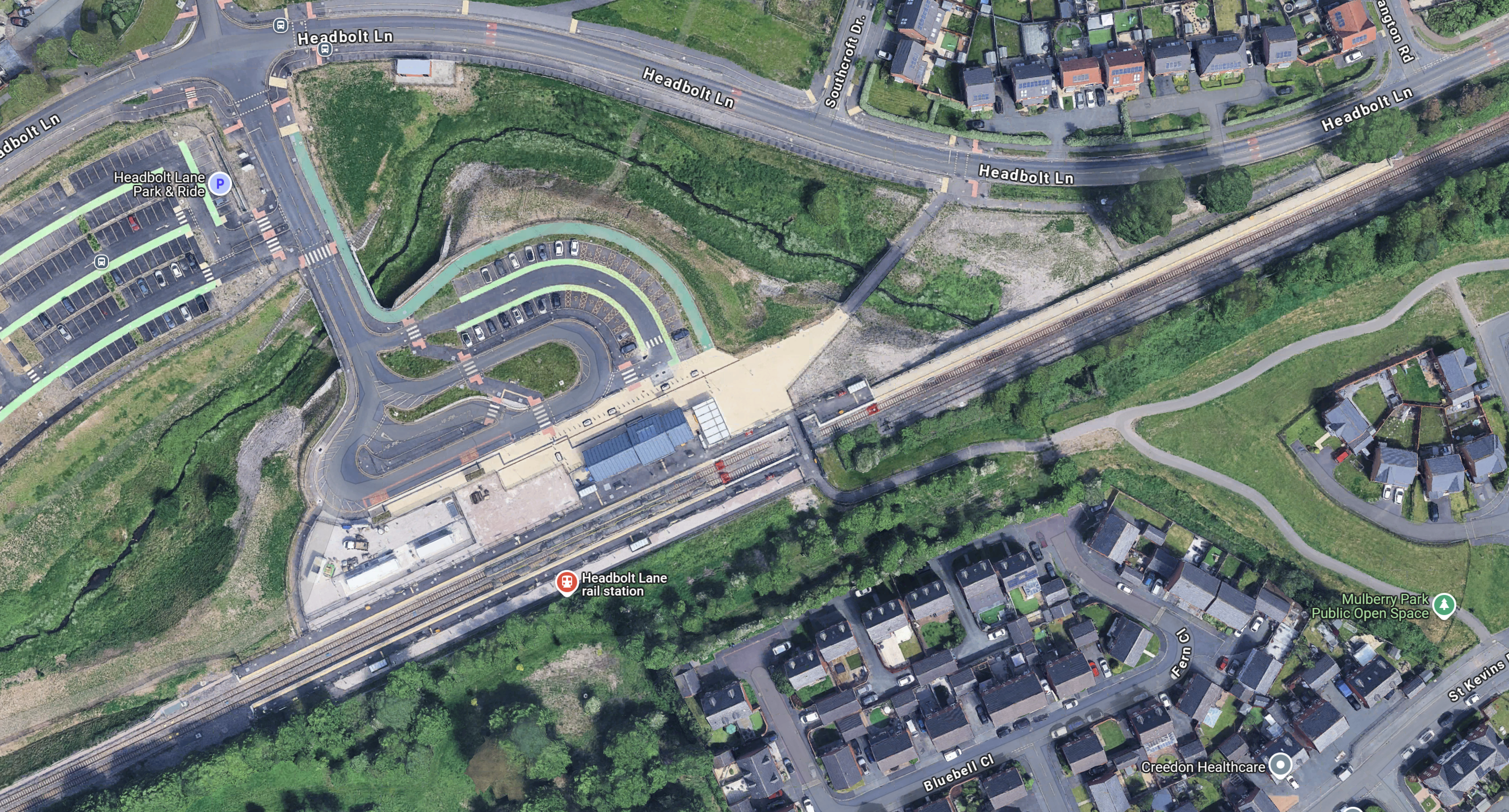
Note.
- Liverpool is to the South-West.
- Wigan and Manchester are to the North-East.
- The station buildings and the car parks are on the North side of the tracks.
- There are two platforms pointing towards Liverpool.
- There is a single platform pointing towards Wigan.
- There is a second track pointing towards Wigan, that has no platform.
- None of the tracks are electrified.
- Three red buffer stops can be picked out.
- Trains to Liverpool are run by battery-electric Class 777 multiple units.
- Trains to Wigan and Manchester are run by diesel multiple units.
All platforms are the same level and you can walk from one side of the station to the other between the buffer stops.
It is effectively a step-free three-platform station without lifts or escalators.
I have never seen another station like it!
Modernising The Route Between Wigan Wallgate And Headbolt Lane
Consider.
- With the exception of Headbolt Lane station, there is no step-free access on this line and that needs to be addressed.
- Wigan Wallgate station has an island platform, with steps to the street.
- With the exception of Headbolt Lane station, there is very little parking.
- The Class 150 diesel multiple units are forty years old.
The distance between Wigan Wallgate and Headbolt Lane stations is about 15 miles.
‘Cut-Off For 58 Years’ Town To Get Railway Station
The title of this post, is the same as that of this article on the BBC.
This is the sub-heading.
Plans to build Greater Manchester’s first new railway station for a quarter of a century have been approved for a town cut off from the rail network since 1967.
These two introductory paragraphs give more details.
The £32m station in Golborne, near Wigan, was proposed by Transport for Greater Manchester (TfGM) after a residents’ campaign.
Since trains stopped calling at Golborne 58 years ago, the town has been left without any direct transport links to and from Manchester.
This Google Map shows the location of Golborne.
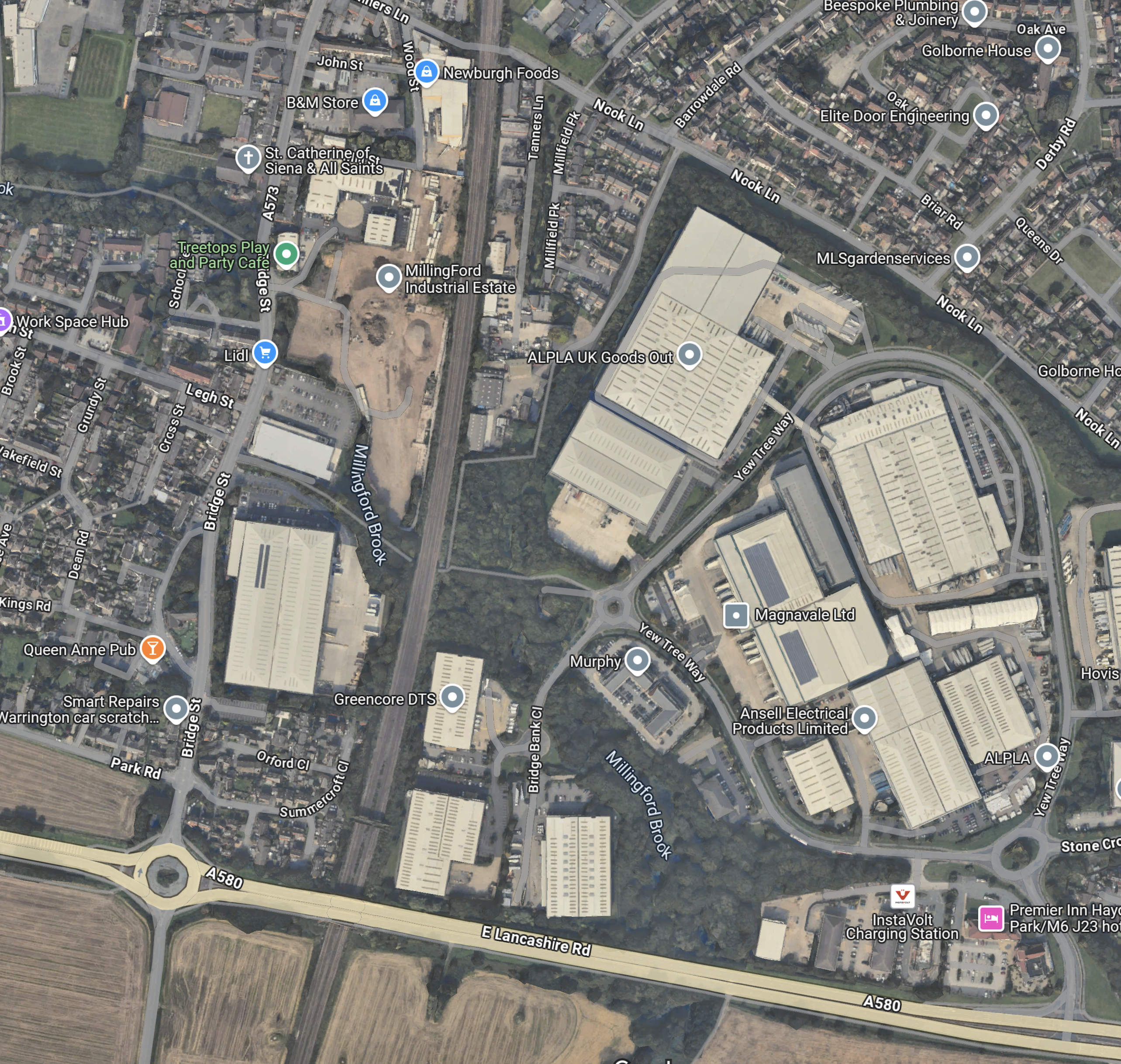
Note.
- The A 580, which is one of main Liverpool and Manchester roads going across the bottom of the map.
- If you drive West along the A 580 from here, you connect to the M6 at Junction 23 ; Haydock Island.
- Continuing West takes you to Liverpool.
- Going East along the A 580 takes you to the M60 and Manchester.
- Running North-South up the map is the West Coast Main Line and currently, it appears to be four electrified tracks all the way to Wigan North Western station.
- Nook Lane crosses the West Coast Main Line at the top of the map.
This second Google Map shows the West Coast Main Line through Golborne.
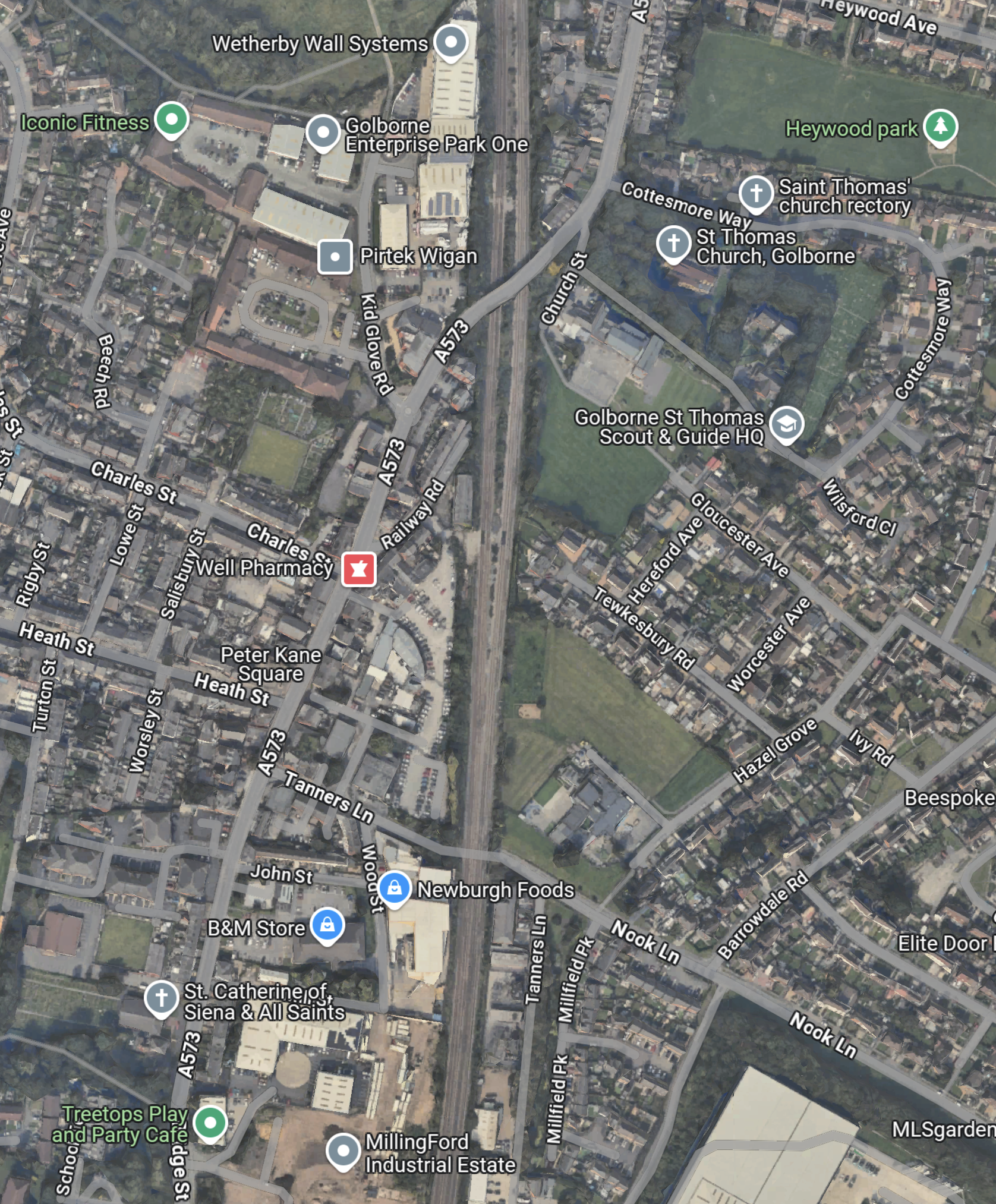
Note.
- The four tracks of the West Coast Main Line run North-South up the centre of the map.
- Nook Lane can be clearly seen.
My best guess is that the station will be built to the South of where the A 573 crosses the West Coast Main Line.
- A picture in the BBC article shows four platforms, with three lifts to give full step-free access.
- It looks like there is a brownfield site to the South of this location, where parking could be provided.
The new Golborne station could be a bit more than a simple station serving a small town.
I have a few thoughts.
How Many High Speed Two trains Will Go Through Golborne Station?
This graphic shows High Speed Two services, as proposed by HS2 after Phase 2b opens.
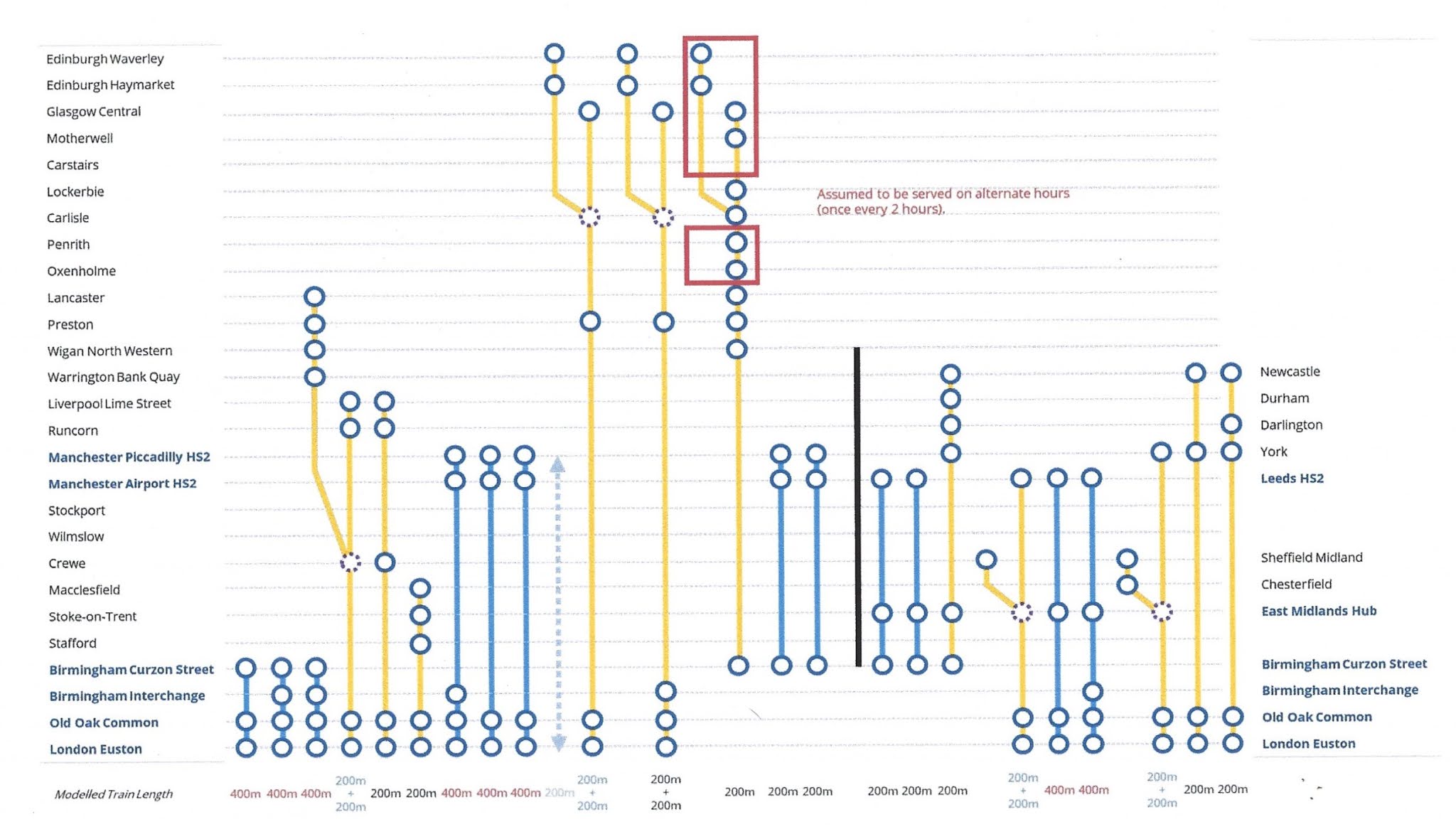
Note.
- Services shown in blue are run by High Speed Two Full Size trains.
- Services shown in yellow are run by High Speed Two Classic-Compatible trains.
- Each service will run once an hour.
- The nine services to the right of the vertical black line have been scrapped.
- There are elevenservices that terminate at Euston in every hour.
- Eight are High Speed Two Full Size trains, which are 400 metres long.
- Two are single High Speed Two Classic-Compatible trains, which are 200 metres long.
- Three are pairs of High Speed Two Classic-Compatible trains, which are 400 metres long.
How Many High Speed Two trains Will Go Through Golborne Station?
This will be the same as the number of trains going through Wigan North Western station.
These are.
- London Euston and Lancaster – 200 m.
- London Euston and Glasgow/Edinburgh – 400 m.
- London Euston and Glasgow/Edinburgh – 400 m.
- Birmingham and Glasgow/Edinburgh – 200 m.
Note.
- That is only four trains per hour (tph).
- As High Speed Two will be digitally signalled, I suspect that four fast tph and four slow tph could be accommodated between Wigan North Western and Golborne.
- The problem could be eased by running 125 mph or even 140 mph trains on local services on the West Coast Main Line.
- But the major problem will be North of Wigan North Western station, where there are only two tracks.
I also wonder, if increasing the number of high speed paths to five, would mean that no 400 m. trains would need to run North of Crewe, so there would be less need for platforms to be lengthened.
Is Wigan North Western Station Ready For High Speed Two?
I answered this question in 2019 in Is Wigan North Western Station Ready For High Speed Two? and felt, it was getting close.
I shall visit this summer and see if it is getting closer to being ready.
More Trains For Fife As ScotRail Enhance Leven Services In May 2025 Timetable
The title of this post, is the same as that of this press release from ScotRail.
This is the sub-heading.
ScotRail is set to introduce significant timetable improvements from Sunday, 18 May 2025, with a major focus on enhancing rail connections for Fife.
This first paragraph gives more details of the improvements to services.
The new timetable will include more frequent services to and from Leven, improving access to and from Edinburgh, and better connecting communities throughout Fife. Additional carriages are also being added to some trains at the busiest times to provide more seats for customers.
It sounds to me, that services to Leven have got a bad case of London Overground Syndrome, which I define in this post, which unsurprisingly is called London Overground Syndrome. I define it like this.
This benign disease, which is probably a modern version of the Victorian railway mania, was first identified in East London in 2011, when it was found that the newly-refurbished East London Line and North London Line were inadequate due to high passenger satisfaction and much increased usage. It has now spread across other parts of the capital, despite various eradication programs.
It keeps appearing across the UK and I suspect it happens in other countries too!
As ScotRail had a severe dose of London Overground Syndrome, when they reopened the Borders Railway, you’d have think that they’d have been prepared this time.
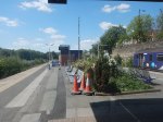
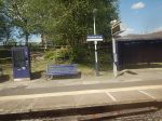
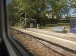
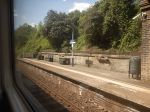
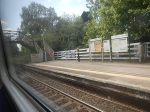
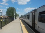
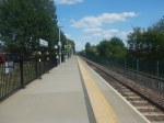
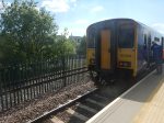
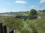
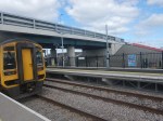
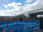
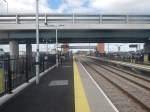
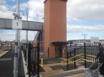
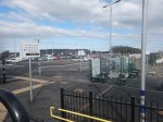
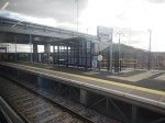
Seaton Delaval Station – 30th March 2025
After I’d taken the pictures at Newsham station, I took the train to the next station on the way back to Newcastle ; Seaton Delaval station.
I took these pictures of the single platform station.
Note.
- It is a step-free single platform station.
- There are disabled parking spaces.
- It looks like charging points for electric vehicles have been installed, but not commissioned.
- Two disabled parking spaces will be for electric vehicles.
- There is space behind the platform for emergency service vehicles.
- There is a shelter and several sets of seats.
- The station connects to the local footpath network.
- There is good provision of litter bins.
It is one of the best single-platform stations I have seen.
I had a problem, at the station, in that my onward train was cancelled, due to a staff shortage.
However, the guy manning Northern’s Help Point, told me, that there was a pub by the station entrance.
So I walked the two hundred metres to the pub.


Note.
- The Hasting Arms has a gluten-free menu.
- The lunch was delicious and even the Yorkshires and the desserts were gluten-free.
- There is also a shop nearby.
- The landlord also said, that the new railway had brought more business.
I was also able to sit in the warm for an hour.
I have only one criticism of the station. There needs to be a local information board, giving a local map, and details of the pub, shop, buses and taxis.
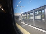
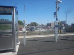
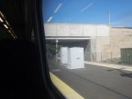
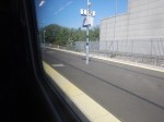
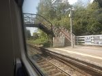
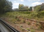
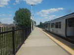
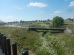
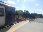
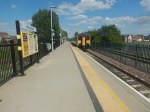
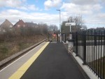
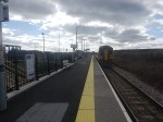
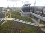
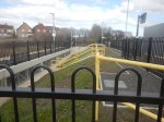
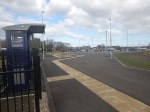
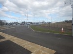
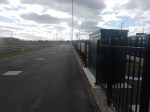
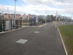
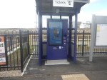
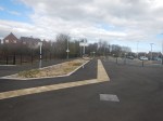
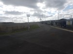
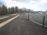
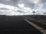
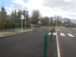
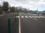
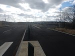
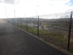
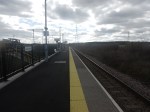
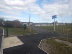
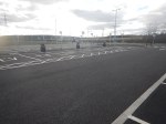
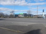
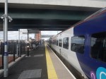
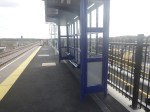
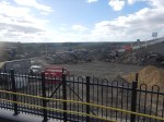
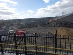
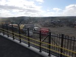
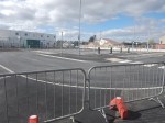
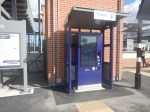
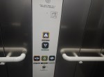
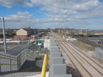
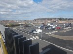
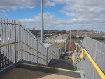
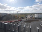
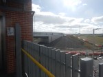
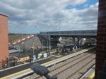
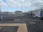
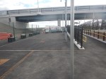
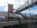
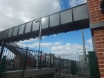
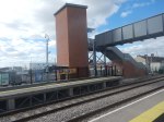
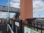
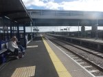
Newsham Station – 30th March 2025
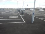
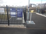
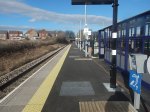
Today, I went to Newcastle and took a ride to the recently-opened ; Newsham station on the Northumberland Line.

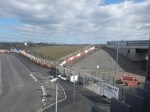
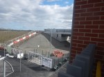
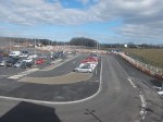
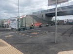
Note.
- The road bridge over the railway.
- When complete there will be a lot of parking space.
- The orange bollards in the parking could be electric vehicle chargers, ready to be unveiled.
- The full step-free access over the railway via the lifts is already working.
- British Railways, its predecessors and many other countries would have just put in a level crossing.
- The Completed platform is wide.
- Both platforms already have a shelter.
- There are help points, information displays, facilities for those with limited hearing and readers for smart ticketing on both platforms.
- There is a ticket machine by both lift towers.
- The disabled parking is already marked out.
- The brickwork and other workmanship is top-class.
- There is space behind the platforms for taxis, buses and emergency service vehicles.
- There is enough clearance under the two bridges for overhead electrification.
There is still some finishing off and landscaping to do, but it is a station with everything.
I have some other thoughts.
The High Quality Lifts Are By Stannah
Several of the passengers I saw, were getting on in years.
Does the maker of the well-advertised stair-lifts use station lifts, which are likely to be used by those of reduced mobilility, as a promotional tool?
The Station Will Be One Of The Best Rural Stations In The UK, When It is Complete
I can see other stations on a similar theme being built.
Especially, where a level crossing is to be eliminated.
This Google Map shows the level crossing and former station at Six Mile Bottom, near where I used to live.
Note.
- The Cambridge and Newmarket railway goes across the map.
- Cambridge is to the West and Newmarket is to the East.
- The main Newmarket to London road crosses the railway here in a level crossing.
- Newmarket is to the North and London and the M11 is to the South.
- There used to be a station here and some want it back.
- There have been several incidents on the level crossing and Greater Anglia have had serious damage to more than one train.
A station like Newsham would be ideal here.
I can see Morgan Sindall building a few more on this theme.
Could they licence the design to construction companies all over the world?
I’ve certainly, seen similar layouts in Eastern Poland, where there are lots of level crossing accidents, according to our guide on one trip. But he said Russia is a lot worse for level crossing accidents.
The New Station With Wildflowers And No Car Park
The title of this post, is the same as that of this article on the BBC.
This is the sub-heading.
A new railway station with solar panels and wildflowers on the roof and no car park has been hailed as an example of sustainable transport
These three paragraphs, explain the thinking behind the design.
Cambridge South station, on Francis Crick Avenue, at the city’s Biomedical Campus, is expected to be completed by early 2026.
Designer and architect Jan Kroes said the site, which sits next to a nature reserve, would “fit in within the green belt”.
Network Rail said the site would be next to a guided busway system and connect with local cycleways and footpaths.
Regularly, when I lived nearly twenty miles from Cambridge, I would drive to Whittlesford Parkway station, which has 348 parking spaces and take the train to London.
This Google Map shows the area to the South-East of Cambridge.
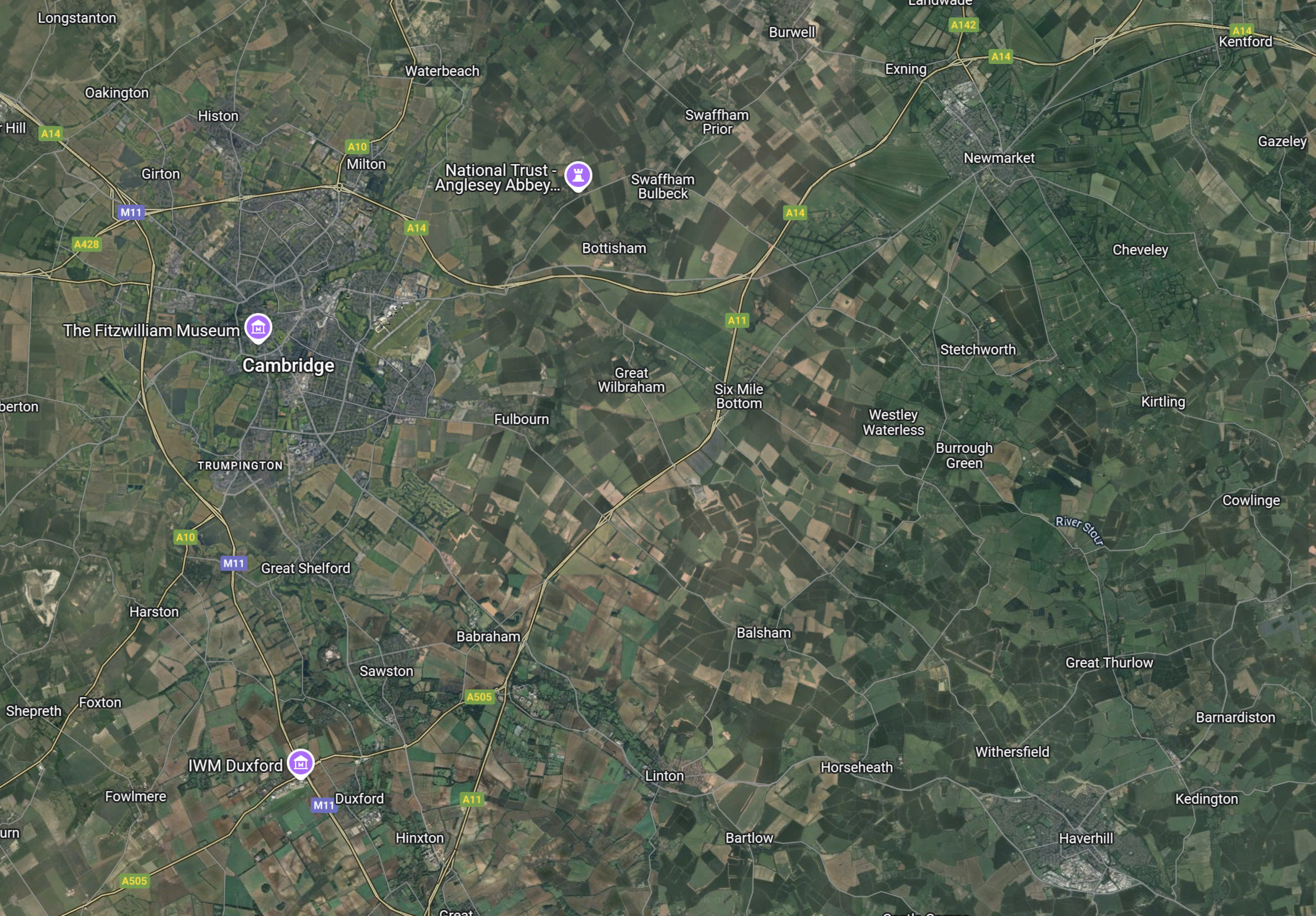
Note.
- Cambridge is towards the North-West corner of the map.
- Newmarket, which has a population of nearly 16,000, is towards the North-East corner of the map.
- Haverhill, which has a population of nearly 30,000, is towards the South-East corner of the map.
- Whittlesford Parkway station, is towards the South-West corner of the map close to the Imperial War Museum at Duxford
- I used to live at Great Thurlow between Newmarket and Haverhill.
The only railway stations on this map are Cambridge, Cambridge North, Dullingham, Newmarket, Shelford and Whittlesford Parkway.
As bus services are pretty thin on the ground, if you live to the bSouth-East of Cambridge, I can understand if there has been surprise, at the lack of parking at the new Cambridge South station.
- If you are travelling to London or Stansted Airport, you can still use Whittlesford Parkway, which has parking.
- But if when the East West Railway opens, you will need to use Cambridge or Cambridge South stations.
- Now that Cambridge North station is open, travelling to Norwich by train may be easier, unless there is not enough parking at Cambridge North station.
When I lived in the area, the most common excuse for not using the train, was the problems of parking at the stations.
I predict, that parking will be added to Cambridge South station.
Onward To Newbiggin-by-the-Sea For The Northumberland Line?
This is the headline on the Chronicle Live.
Plans Underway To Extend Northumberland Line To Newbiggin-by-the-Sea
And this is the heading on the Northumberland Gazette.
Plans Underway To Extend Northumberland Line To Newbiggin
Both articles say council officers have been asked to look at extending the line from its current terminus at Ashington.
This OpenRailwayMap shows the route onwards from Ashington to Newbiggin-by-the-Sea.
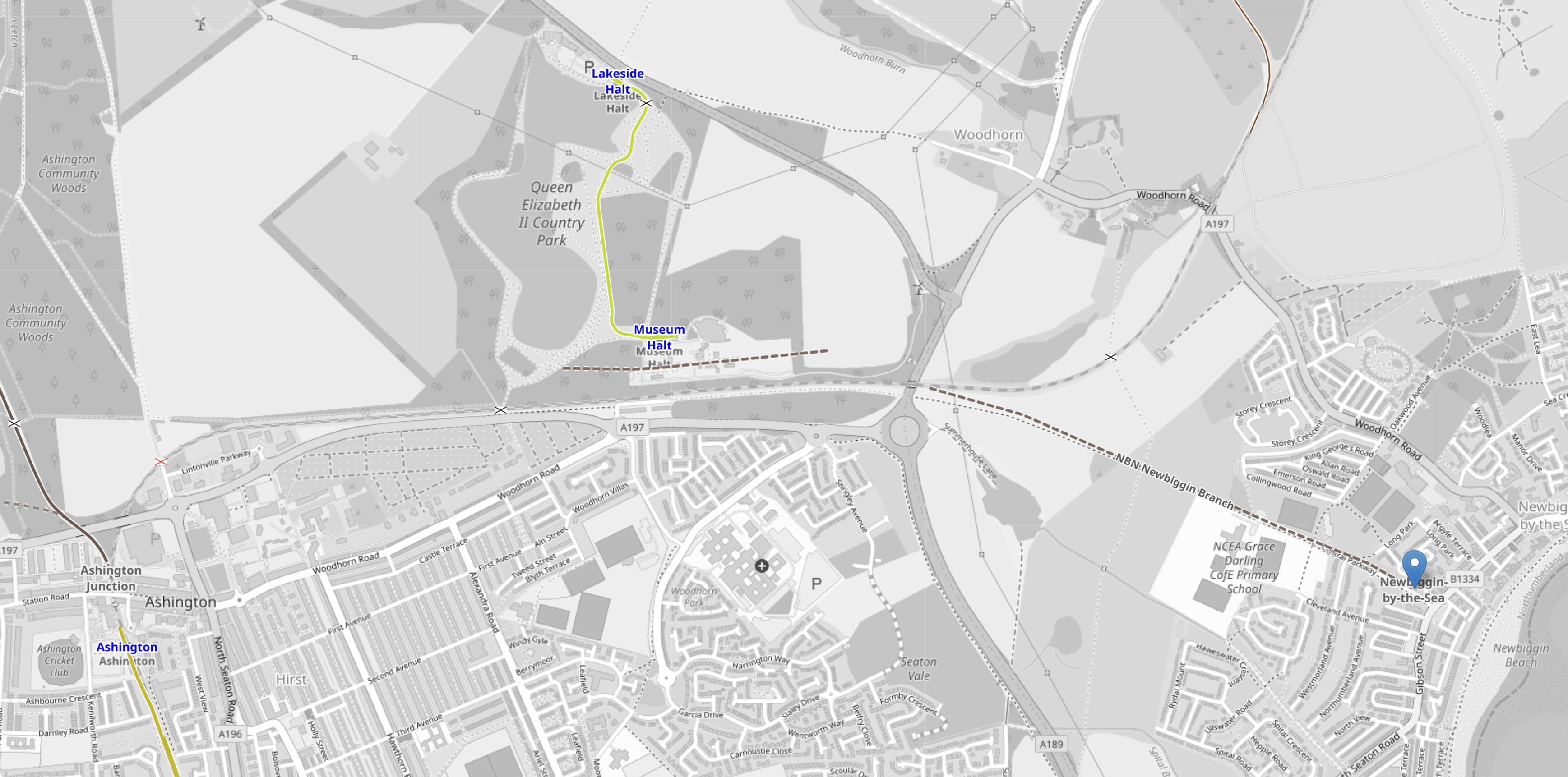
Note.
- Ashington station is in the South-West corner of the map.
- The yellow track is the route of the new Northumberland Line to Newcastle.
- The possible site of the proposed Newbiggin-by-the-Sea station is marked by the blue arrow.
- The route of the railway between Ashington and Newbiggin-by-the-Sea is marked by a dotted line on the map.
- There appears to be a country park and a museum complex with a railway about halfway between Ashington and Newbiggin-by-the-Sea.
There also appears to be other disused colliery rail lines going to other closed collieries, that may be worth developing.
At a first look, it doesn’t appear that extending the Northumberland Line to a new station at Newbiggin-by-the-Sea would be the most difficult of railway projects.
Woodhorn Museum, Woodhorn Colliery And The Queen Elizabeth II Country Park
This Google Map shows this attraction in detail.
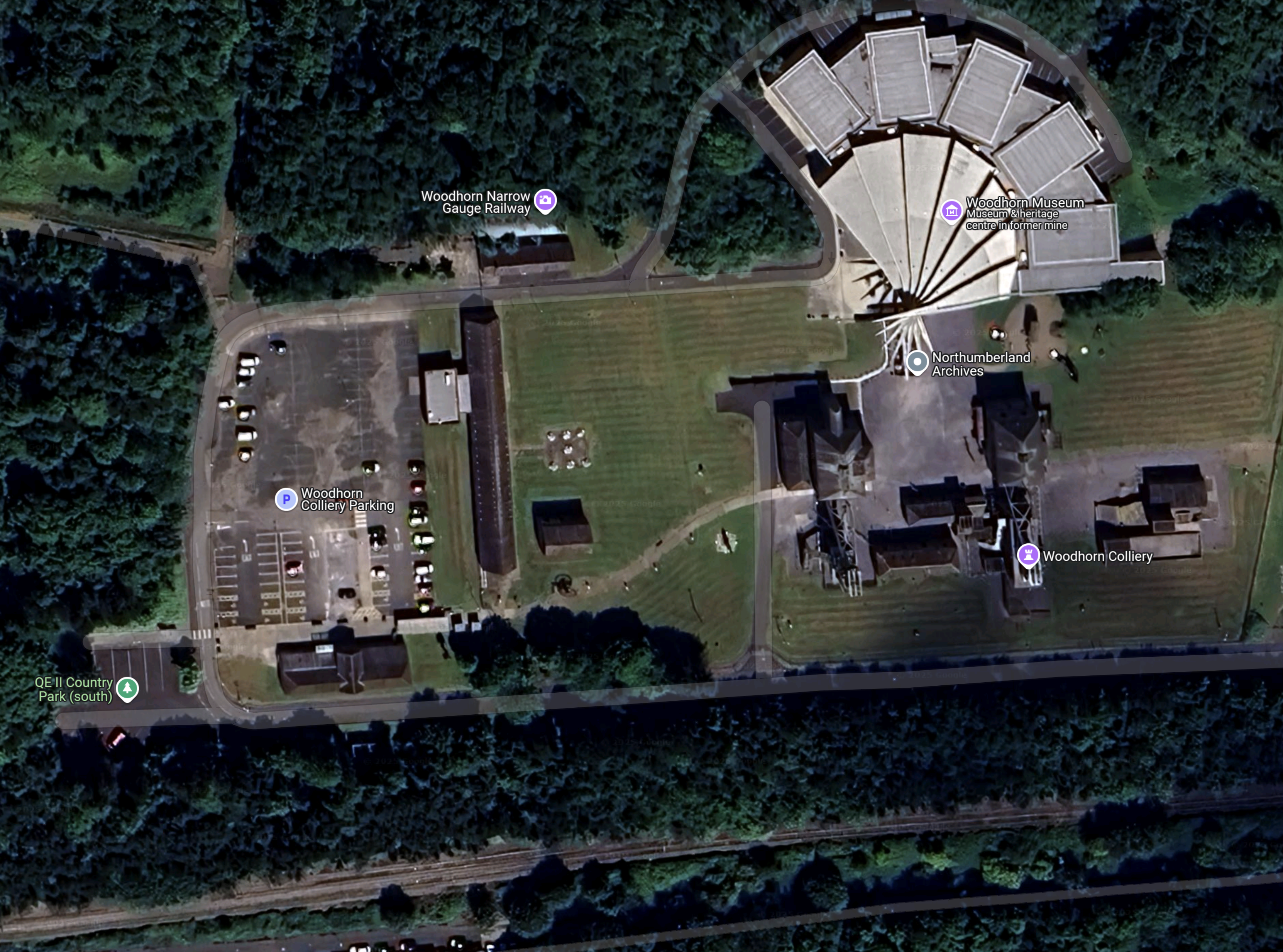
Note.
- Woodhorn Museum is the fan-shaped building in the North-East of the map.
- Woodhorn Colliery is part of the museum and is to the South of the main museum building.
- The Northumbrian Archives are also on the Woodhorn site.
- The Woodhorn Narrow Gauge Railway is indicated by the lilac arrow in the North of the map.
- The Queen Elizabeth II Country Park is indicated by the green arrow in the West of the map.
- Across the bottom of the map, there appears to be a double-track railway, which appears to connect to the new Ashington station.
This is the sort of attraction, that is crying out to have its own railway station.
This Google Map shows the Woodhorn Roundabout on the A 189 to the South-East of the Woodhorn Museum
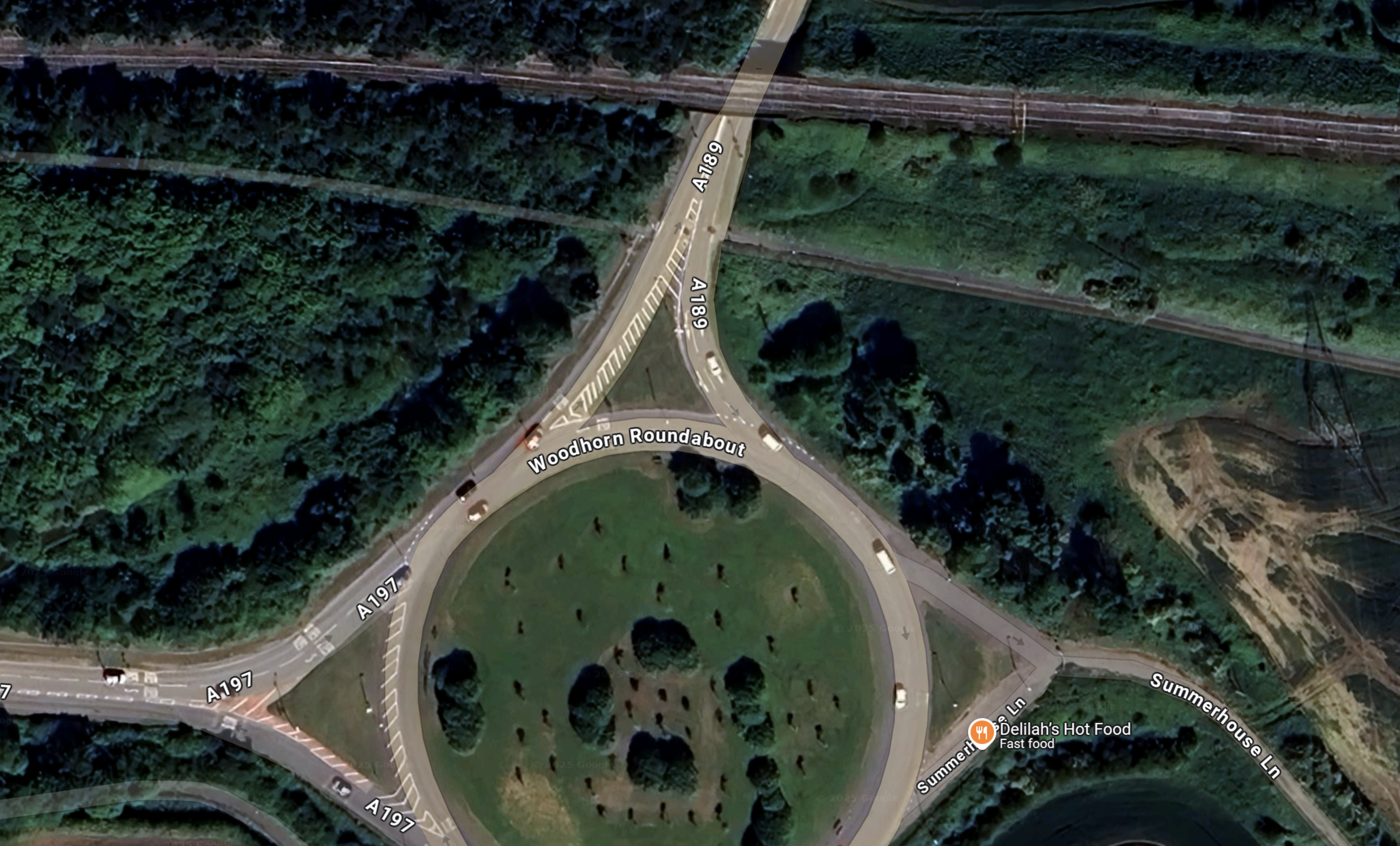
Note.
- The road to the North is the A 189 which leads to Lynemouth power station, which is fueled by biomass.
- The double-track railway across the top of the map, also goes to Lynemouth power station. Note it has a bridge over the A 189.
- The single-track railway to the South of the double-track can be followed almost to the centre of Newbiggin-by-the-Sea. It looks like it goes under the A 189.
It looks to me, that a single-track could easily handle two trains per hour to a single-platform at Newbiggin-by-the-Sea station.
