Parking Fees Rise At Many Hospitals In 2017-18, Analysis Finds
The title of this post is the same as that of this article on the BBC.
This is the first paragraph.
Four in 10 NHS hospitals in England have increased car parking prices in the last year, new data suggests.
I don’t drive, so it doesn’t effect me and the only hospitals I’ve visited in the last few years; Addenbrooke’s, Homerton, Royal London and University College have been easily accessible by public transport.
The real scandal is that so many hospitals are not easily accessible using fully-accessible public transport.
- Addenbrooke’s has a large bus interchange, which has connections to Cambridge City Centre and at least one of the City’s large Park-and-Ride sites.
- Nottingham’s Queen’s Medical Centre has a tram connection to the large Park-and-Ride sites.
But I can think of several hospitals, where the only public transport is an expensive taxi.
I also remember a hospital administrator in London telling me, that the largest number of complaints they received was about car parking.
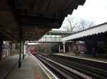
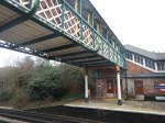
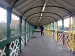
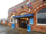
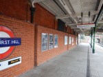
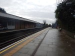
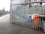
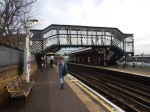
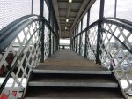
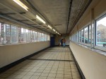
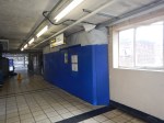
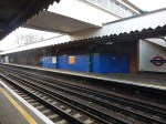
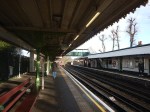
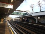
Eastern Central Line Stations To Be Made Step-Free
Five stations at the Eastern End of the Central Line are to be made step-free.
These pictures show the various stations. on the 22nd January 2018.
Buckhurst Hill
Work is already underway to reopen an old subway at the Southern end of the station. A completion date of Summer 2018 is displayed.
Will lifts be added to this subway?
Debden
No work has started yet! Will the current bridge be replaced?
Newbury Park
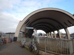
Work has started. A completion date of Summer 2018 is displayed.
Snaresbrook
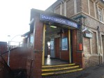
No work has started yet! Will the current bridge be replaced?
South Woodford
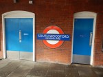

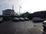
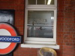
No work has started yet!
Summary
These stations were built by the Great Eastern Railway in the nineteenth century, with the exception of Newbury Park, which was built for the Central Line after the Second World War.
The Great Eastern stations show their heritage with good brickwork, period features and a good selection of wrought iron bridges.
Newbury Park station is Grade II Listed because of the hideous concrete bus station.
What Are Transport for London’s Plans?
Transport for London have stated that their aim is to eventually have all Underground stations with full step-free access.
There are twenty station East of Stratford station on the Central Line.
Currently, four have some degree of step-free access, so these five added stations would bring the step-free stations to forty-five percent.
Could all this work, be due to the fact, that when Crossrail opens, the Eastern section of the Central Line will effectively become a branch of London’s new line? The two lines will have a step-free cross-platform interchange at Stratford.
Will this give a marketing advantage, as there will now be a totally step-free route from a lot of Eastern Central Line stations to the West End, Paddington and Heathrow?
Could car parking be a factor?
- Only Debden and Newbury Park stations, of those being made step-free have car parks with over a hundred spaces.
- Disabled spaces are generally less than ten.
- Of the other step-free stations in the area, only Epping has a large car park.
It is probably more affordable to add step-free access to stations, than provide disabled parking spaces, closer into London.
Onward To Ongar
Currently, there are no plans to extend the Central Line to Ongar.
But I do wonder, if this could be reconsidered in the future.
- The roads will get more congested.
- More housing is built in this part of Essex.
- Crossrail will probably attrack passengers to use the Central Line.
- The Central Line’s new trains in a few years will cut journey times and add capacity.
What will probably decide the matter is overcrowding at Epping station.
The £20million Station Car Park
This article in the Oxford Mail is entitled Work begins on £20m multi-storey car park at Didcot Parkway.
Didcot Parkway station is a major Park-and-Ride station on the Great Western Railway, so the economics of spending £20million on car parking must be an investment, that the company thinks is worthwhile.
This Google Map shows the station and the existing car park in Foxhall Road.
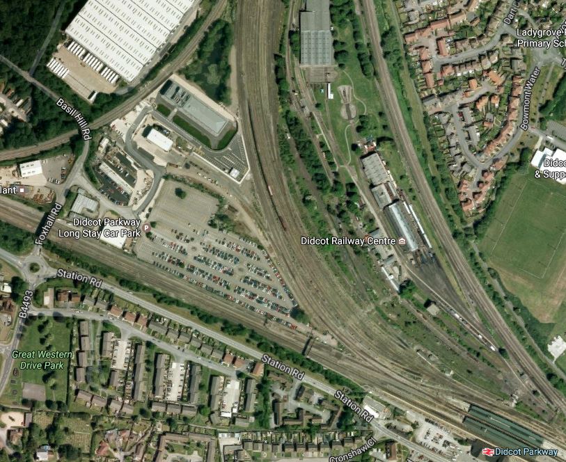
Note that Oxford is to the North, with the Great Western Main Line going across from London in the East to Swindon in the West.
This visualisation shows the new car park, which will be built on the site of the existing car park.
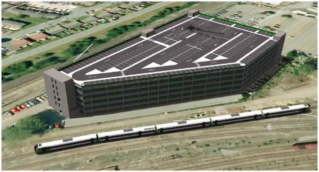
The Didcot to Oxford Railway is in front, with Oxford to the right and Didcot Parkway station to the left.
The Economics
If you go up from Didcot Parkway to Paddington, the return fares are as follows.
- Anytime Day Return – £82.40
- Off-Peak Day Return – £25.70
Consider.
- Parking will probably cost from £3/hour.
- The Internet reckons that Didcot to London is about 60 miles and it will take about one hour thirty-eight minutes to drive.
- On the other hand, the fastest trains take 41 minutes with a stop at Reading.
- From December 2019, interchange for the City and Canary Wharf wil be possible at Reading and Paddington.
I have a feeling that another large Park-and-Ride will be needed.
This Google Map shows Swindon station.
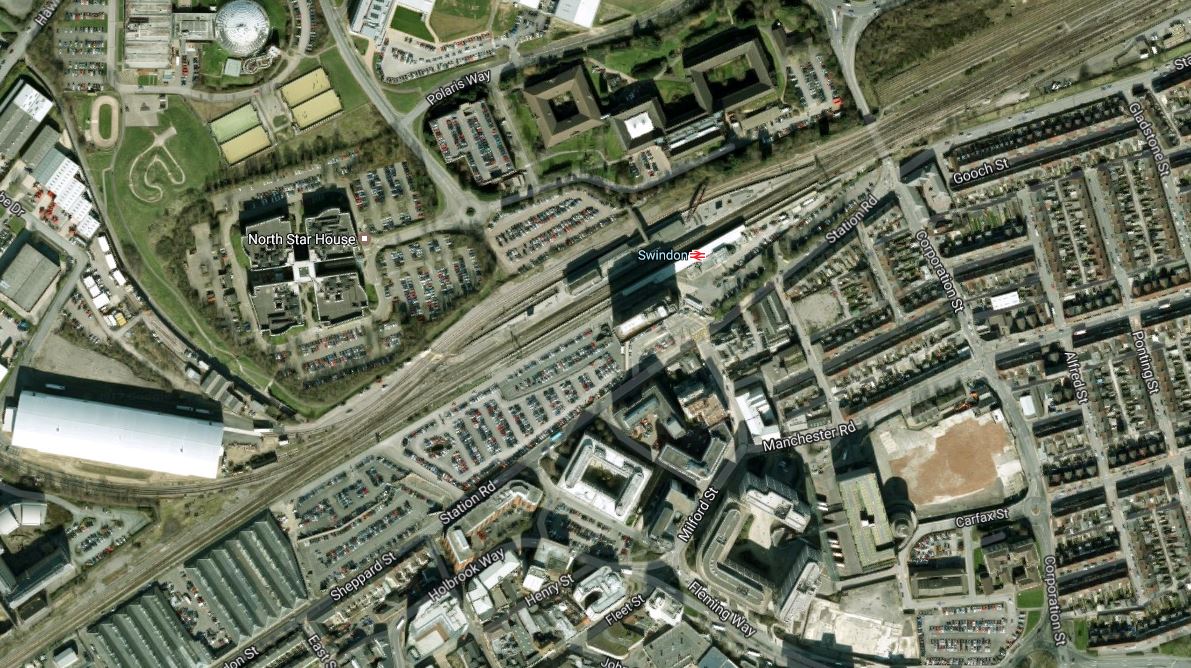
It would surely be a station, where the existing car parks could be multi-storied.
But there are probably lots of others. This article in the Wantage Herald mentions Grove, Corsham and Royal Wooton Bassett, as possible parkway stations.
Westminster Council To Trial Diesel Parking Charge
The title of this post is the title of an article on the BBC web site.
There will be a lot of complaints, but just as the Congestion Charge was accepted, this charge will be too!
And if it works for Westminster, how long before other Boroughs in London introduce it?
I do think though, that cities that cut pollution will benefit from the good publicity, that could generate extra visitors and increased business activity.
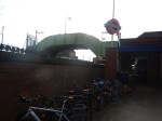
Bollards To Illegal Parkers
The City of London has its own distinctive way with street furniture.
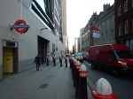
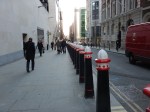
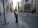
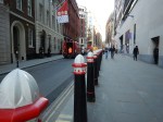

But it’s not just bollards.


A walk through the City of London is always rewarding.
Crossrail’s Park-And-Ride Facilities
Crossrail is costing upwards of around fifteen billion pounds, but when it comes to providing Park-and-Ride facilities for passengers, it probably scores a massive zero-out-of-ten.
Consider.
- Parking at Shenfield station is no more than adequate for current customers.
- Abbey Wood station‘s restricted site, may well be getting a flagship station, but where will passengers park?
- Crossrail’s South-Eastern branch doesn’t serve Ebbsfleet International stastion, which has masses of parking.
- Of the three branches, only Reading station can probably increase its parking to cope.
- Where are the Park-and-Ride sites , where Crossrail and the M25 intersect?
It is certainly not good enough.
A Park-and-Ride At Brentwood
This Google Map shows where Crossrail crosses the M25, just South of the junction between the M25 and the A12.
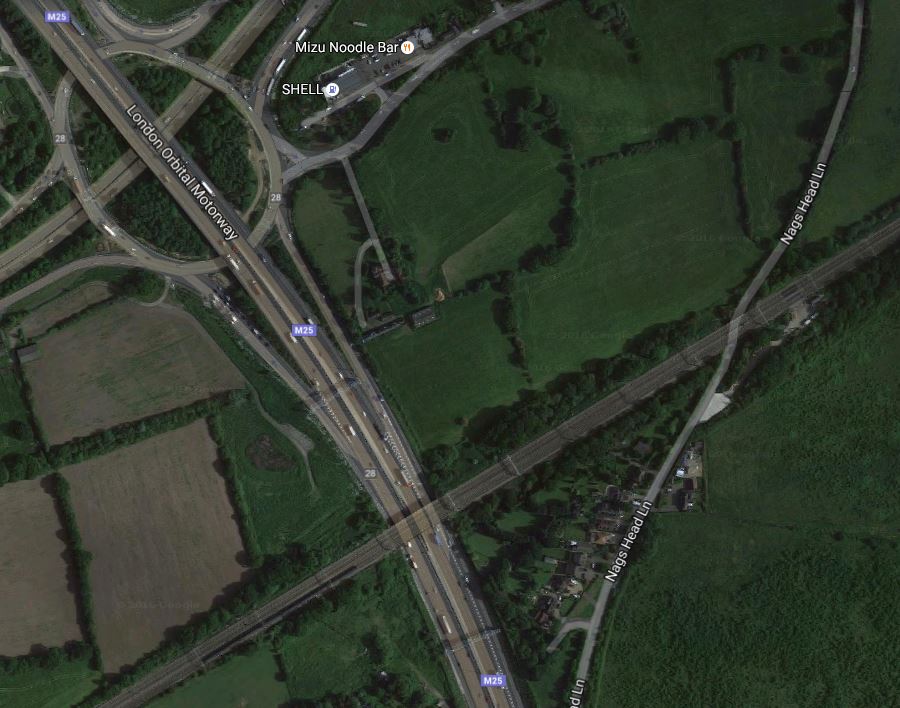
Crossrail And The M25 And A12 At Brentwood
I feel that this would be a logical site for a station with large and efficient Park-and-Ride facilities.
- It would be about thirty minutes from Liverpool Street station and seventy minutes from Heathrow.
- There would be over a dozen trains per hour (tph) to and from Central London.
- Long-distance trains to and from Chelmsford, Colchester, Ipswich, Norwich and Southend could call and have cross-platform interchange with Crossrail.
I suspect that there would be massive opposition to building the station.
A Park-and-Ride At Iver
This Google Map shows Iver station and the M25 as it goes South from the M40 to the M4.
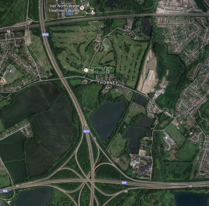
Crossrail And The M25 At Iver
I feel that this would be another logical site for a station with Park-and-Ride facilities.
In Network Rail Plans Another Tunnel Into Heathrow, I talked about plans to create a Western Rail Approach to Heathrow.
- The route starts between Langley and Iver stations, goes South roughly parallel with the M25 and then goes into Terminal 5 from the West.
- Much of the route is in tunnel.
Surely, if a Park-and-Ride site was to be built in the West of London, then these two projects should be combined.
Since I wrote about the PRT System in A Visit To Heathrow Terminal 5, I’ve met someone, who’s had a ride. Their view was totally positive on this new technology.
So I think there could be possibilities for a very futuristic transport system to Heathrow linked to Crossrail at Iver, in addition to the full rail option.
A Park-and-Ride At Abbey Wood
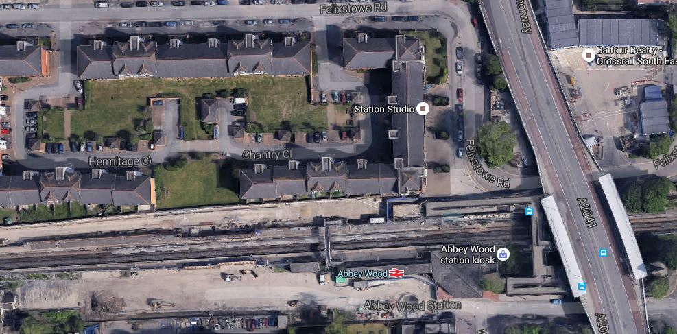
Abbey Wood Station
This Google Map shows the area of South East London around Crossrail’s terminus at Abbey Wood station..
There doesn’t appear to be much space around the station for a Park-and-Ride site.
This Google Map shows the roads in the area.
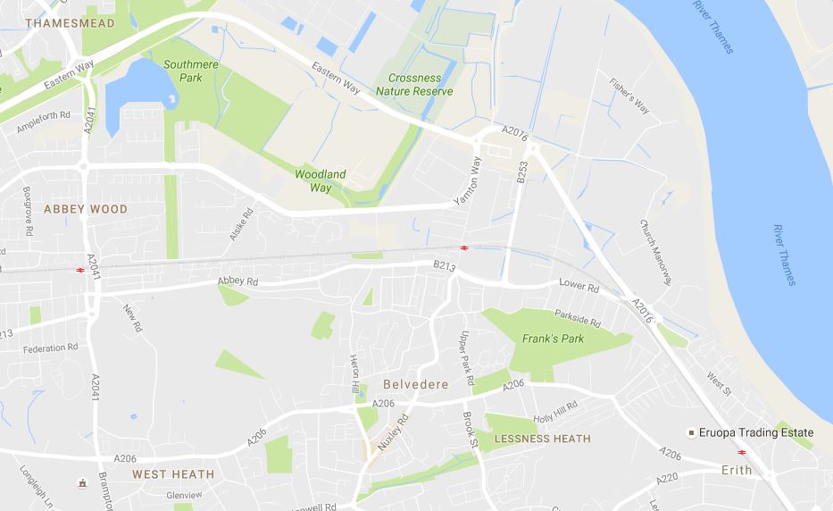
Roads Around Abbey Wood Station
Abbey Road station is on Harrow Manor Way, which links two East-West routes; the A2016 and the A206.
As Abbey Wood is the only surface station on the South-Eastern branch, I don’t think that there is a great probability, that a large Park-and-Ride site can be built on the South-astern branch of Crossrail.
A Park-and-Ride On An Extended South-Eastern Branch
Crossrail have safeguarded an extension Gravesend, which is described in this section in Wikipedia.
The route to Gravesend has been safeguarded by the Department for Transport, although it was made clear that as at February 2008 there was no plan to extend Crossrail beyond the then-current scheme. The following stations are on the protected route extension to Gravesend: Belvedere, Erith, Slade Green, Dartford, Stone Crossing, Greenhithe for Bluewater, Swanscombe, Northfleet, and Gravesend
So does this route give possibilities for a large Park-and-Ride?
This Google Map shows how the proposed extended route of Crossrail, runs under the Queen Elizabeth II Bridge.
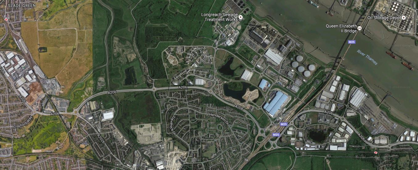
Crossrail, And The QE2 Bridge
Slade Green station is to the West of the bridge and the M25, in the top-left corner of the map, whilst Stone Crossing station is to the East, in the bottom right corner of the map.
This Google Map shows the route between Slade Green station and the Southern end of the bridge using the A206.
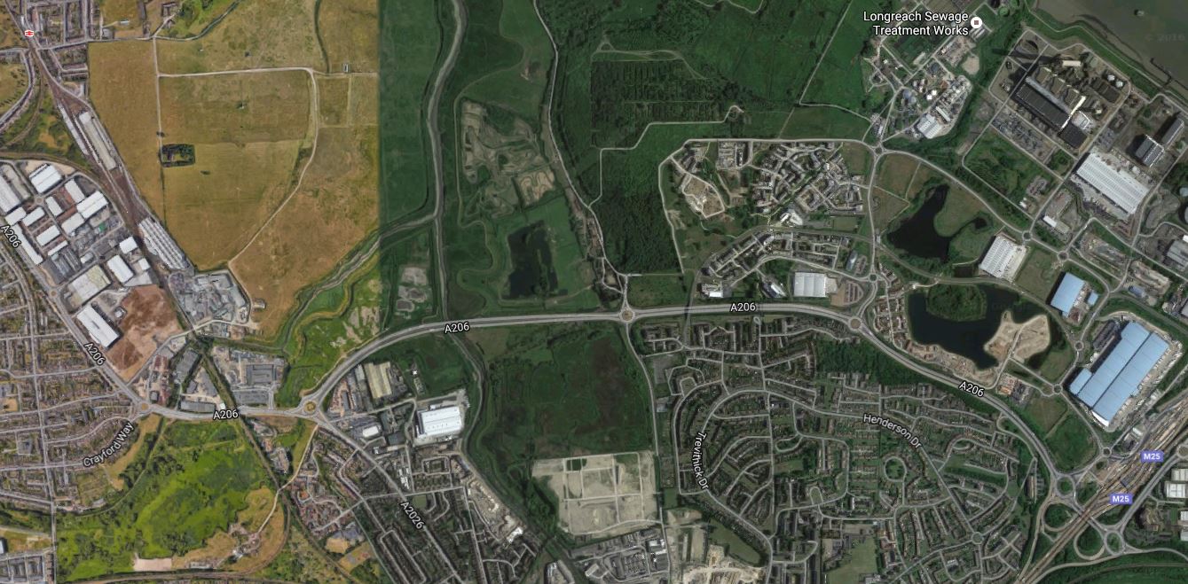
Slade Green Station To The QE2 Bridge
Slade Green station is in the top-left corner of the map and the Southern approach of the bridge in the bottom-right.
This Google Map shows between the bridge and Stone Crossing station.
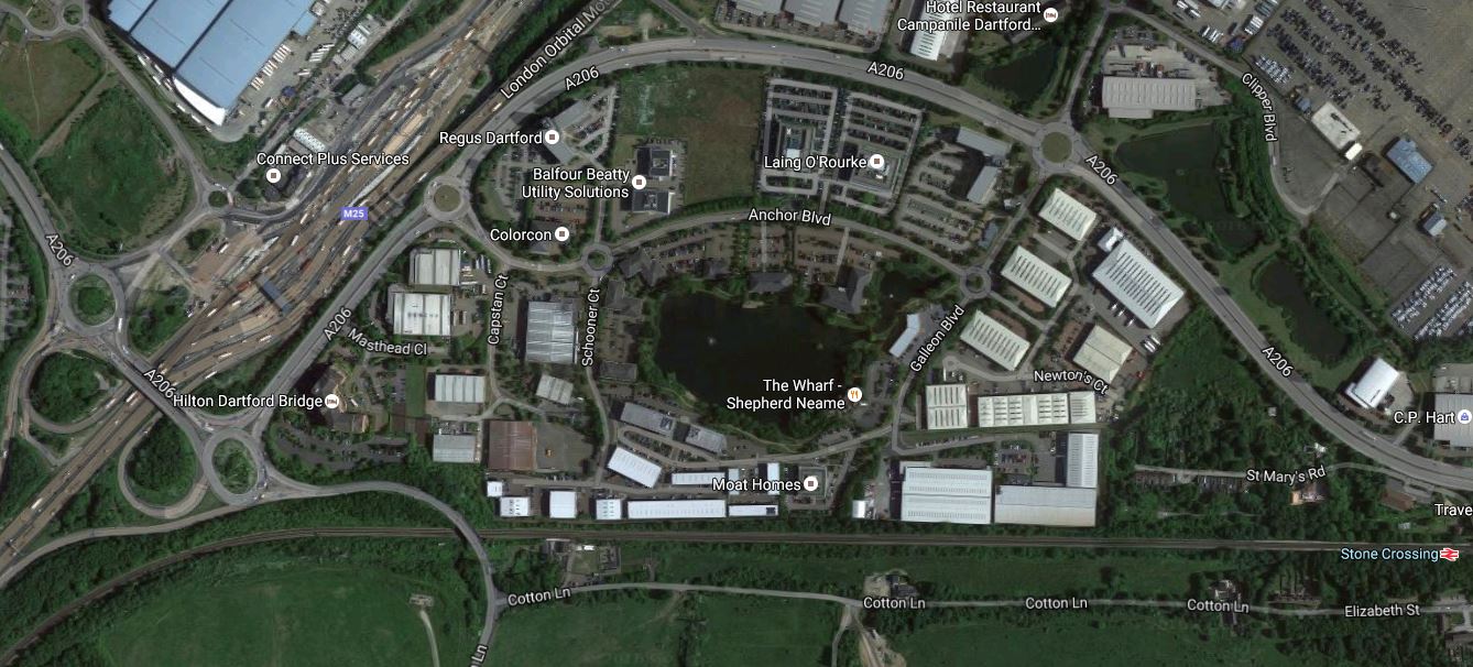
The QE2 Bridge To Stone Crossing Station
The Southern approach to the bridge is in the bottom-left with Stone Crossing station in the bottom-right.
After a brief look at both stations, using Wikipedia and Google Maps, the following can be said.
- Both stations are on the A206 road.
- The links to the M25 and M2 could probably be improved.
- There would appear to be space at both stations to build substantial parking.
- Both have at least two tph to and from Abbey Wood at the present time.
- From 2018, Thameslink will be running two tph will run from Rainham to Luton stopping at Stone Crossing, Slade Green and Abbey Wood stations.
- Nearly all the trains on the line will be 12-car trains.
Could the Park-and-Ride needs on the Abbey Wood branch be solved by increasing the parking at stations like Stone Crossing and Slade Green, with passengers using local trains and Thameslink to access Crossrail?
- There should be sufficient capacity in the 12-car trains to fit in a few short-distance travellers.
- The frequency between Abbey Wood and Rochester should be at least four tph.
- These trains will call at Slade Green, Dartford, Stone Crossing, Greenhithe, and Gravesend.
- The Crossrail frequency at Abbey Wood will be at least eight tph.
- Because of these frequencies, there shouldn’t be too much time wasted, waiting for a train at Abbey Wood.
I think that this shows that if the connecting trains to Abbey Wood have a medium to high frequency and there is plenty of parking along the line, then loyts of parking doesn’t need to be provided at Abbey Wood.
The more that I look at the lines and services in North Kent, it does appear that running Thameslink between Rainham and Luton via Greenwich, Abbey Wood and Dartford was a piece of very high-class thinking.
An Innovative Scheme For A Rail Link To Glasgow Airport
This article on Renfrewshire 24 is entitled New Option Could See Glasgow Airport Rail Link Run From Relocated Glasgow St. James Station.
The new option, which is proposed by Junction 29 (Scotland) Ltd, would relocate Paisley St. James Street station nearer to the airport and it would be connected to the airport using a PRT system similar to that used at Terminal 5 at Heathrow.
This Google Map shows the area.
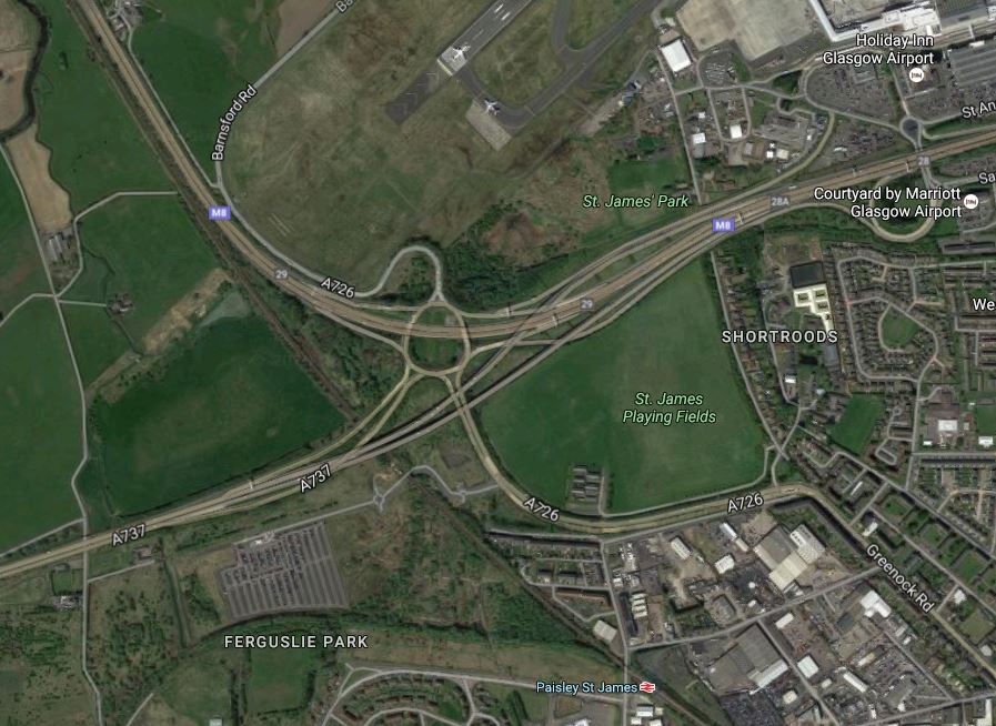
Note.
- Junction 29 of the M8 is the mass of spaghetti in the upper middle of the map, with the Inverclyde Line passing to the South-west of the junction.
- Paisley St. James station is towards the bottom of the map.
- Junction 29 (Scotland) Ltd. own the block of land to the West of the railway and the new station would be built in this area, where the PRT system would connect to the Airport.
I think it could be a feasible plan and these are my thoughts.
A Proven System
Wikipedia says this about the PRT System at Heathrow.
Construction of the guideway was completed in October 2008. The line is largely elevated, but includes a ground level section where the route passes under the approach to the airport’s northern runway. Following various trials, including some using airport staff as test passengers, the line opened to the public in May 2011 as a passenger trial. Subsequently it was made fully operational and the bus service between the business car park and Terminal 5 was discontinued. The pods use 50% less energy than a bus. They run 22 hours a day. Unlike all UK road and rail traffic, which drives on the left, the PRT system drives on the right. As of May 2013 the system passed the 600,000th passenger milestone.
The interesting thing, is that it runs under the runway approach, so it must have a fairly small footprint.
I actually think that using this system has other advantages.
- It could go on a roundabout route between the station and the Airport, serving car parks and other important places.
- It could serve the car parks, which are also proposed for the site.
- It could bring those with movement difficulties to the station for the Park-and-Ride to Paisley and Glasgow.
- It is very much a proven system.
- The tram-train alternative works in many places in the world, but the concept seems to cause Network Rail indegestion.
- The PRT System is independent of the railway.
But in my view the system’s biggest advantage is that it could have a serious wow factor for children of all ages.
Cost
The cost of the PRT option is quoted at £70-£80m, as opposed to £144m for the tram-train alternative.
Journey Times
Journey times to the airport will certainly be competitive, but I think the wow factor will encourage passengers to use it, whether they come by train or car to the station.
Why Would You Want To Close The Existing Station?
I would not close the existing Paisley St. James station for these reasons.
- It serves Paisley Town centre and St. Mirren Football Club.
- Closing it could be a hassle.
- Extra stations are never a bad thing.
- Modern trains stop and start again at a station very quickly.
- The new station could be called Glasgow Airport to avoid confusion.
But then there may be better reasons to close it.
Train Frequency
There needs to be at least four trains per hour (tph) to Paisley Gilmour Street and Glasgow.
If not more, as the frequency of the PRT system will annoy passengers waiting for the trains.
I also think that a turnback facility should be provided, so that a posh Airport shuttle train could work a 2 tph limited-stop service to Glasgow Central.
If Glasgow got its act together, the posh train could also serve Edinburgh.
Construction
It is stated in the Renfrewshire 24 article, that the new station and the PRT system could be built in twelve months alongside the existing network.
As all the land is owned by the Airport, Junction 29 and Network Rail, this must help, unless they find newts.
They could even lift a lot of the design of some of the other new stations like Kirkstall Forge.
Future Development
I’m sure Junction 29 (Scotland) Ltd. have got some good plans for the rest of their site.
Conclusion
Go for it! Glasgow has been procrastinating for far too long!
I think we’ll see a lot of systems like this around the world!
The system is described here in Wikipedia.
It’s British by the way and was developed in Cardiff and Bristol.
Is This One Of The Most Valuable Sites For New Development In The UK?
I don’t question the engineering behind the Windsor Link Railway, but I do question whether the project is viable financially.
Property Development
Obviously, the key to financial viability is the property development opportunities that the building of the Windsor Link Railway will enable.
I don’t know much about property development, but from conversations with serious property developers over the last few years, I can say this.
- Some of the sums of money that can be involved are immense.
- Location is still as important as it ever was.
- Car parking can be reduced in developments above stations, which reduces construction costs.
An infrastructure investor from a large insurance company, also told me that developments with a new station and possibly a few new trains are easy to finance as a package.
Property Development At Windsor And Eton Riverside Station
Look at this Google Map of the Windsor and Eton Riverside station and the River Thames.
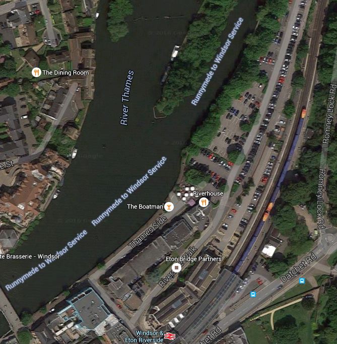
Windsor And Eton Riverside Station And The Thames
The railway and the adjacent car parks, use a surprisingly large amount of land, that would be released by the building of the Windsor Link Railway.
The Windsor Link Railway could be a single track tunnel, as the maximum frequency would only be four trains per hour in both directions, which would enter the tunnel around the end of the current platforms.
Obviously, all of the land where the current station and car parks would be available for development. There would just be a rail tunnel in the basement.
I also feel that done properly, this development with its superb location on the river, should be car-free.
If that is the case, then perhaps Windsor needs a station under this development?
As the development will be pretty grand and very desirable, I would design a station with the following characteristics.
- Single-platform able to accept twelve-car trains. We don’t want to build a restriction for the future.
- All trains could be IPEMUs running on batteries in the tunnel. Quiet, very green and no dangerous electrification.
- Platform-edge doors. They’re probably needed under EU safety legislation.
- Double-ended with one entrance in the development and another in Thames Street. If tourists can’t drive, they need to be in the centre.
I think with modern station design, that a single-platform station would be sufficient, although, it would probably restrict services to four trains per hour in each direction.
We’ve never built a combined up-market station and luxury development in this country yet, although there are quite a few stations like Dalston Junction with lots of dwellings on the top.
Windsor And Eton Riverside could be the place to start.
Property Development At Windsor And Eton Central Station
If the Riverside site could be properly developed, what about, where the Windsor Link Railway are proposing to put their proposed Windsor Royal station.
This is a Google Map of the area to the West of Windsor And Eton Central station.

Note how the area is dominated by coach and car parks. Visitors want to come to see the river and the castle, socialise a bit, have a drink and a meal, and perhaps buy some tatty souvenirs. They don’t want to look at car and coach parks.
In Connecting The Windsor Link Railway To The Slough To Windsor And Eton Line, I looked at the engineering and I don’t think building the rail connection is impossible.
It is my view, that you build the railway and the station in the best way for train operation and passenger convenience. The station would probably have the following characteristics.
It could be a traditional surface station or underground, with minimal buildings above the surface.
I prefer the underground station, as it has other advantages.
- There would be lots of entrances facing in all directions. Think fosteritos!
- It could have a single-platform or a double-platform/island layout, capable of handling twelve-car trains.
- Platform-edge doors.
- A single track would lead to Slough and also to the tunnel under Windsor.
In the hole for an underground station, it would also probably be a good idea to build an adequately-sized underground car and coach park.
But surely visitors need some form of decent Park-And-Ride using an uprated train service. Such a station is envisaged by the Windsor Link Railway at Chalvey Interchange, which is South of Slough close to the M4.
Once the new station and the railway is fully connected, there is a magnificent opportunity to create a world-class park and related development over the top, between the existing railway viaduct and the iconic Thames.
The redundant Central station and the unused part of the massive viaduct would be developed appropriately.
Let’s face it Windsor is rather a crap and tatty tourist dump at the present time. The Windsor Link Railway could give the town the opportunity to give the historic town and castle the environment and status, it needs and deserves.
The Trains
In The IPEMU And The Windsor Link Railway, I wrote how IPEMU trains could make the design and building of the Windsor Link Railway easier and more affordable.
I believe it is essential that the Windsor Link Railway is run using trains with an IPEMU capability.
I also believe that as I saw in Future-Proofing The Uckfield Branch, that all platforms including the bay platform at Slough station must be capable of accepting twelve-car trains.
I am assured that this is in the design.
The Central Tunnel
I would suspect that many people would feel that digging the central tunnel across Windsor will be an enormously expensive operation.
Construction companies put in cut-and-cover tunnels like this all over the world and especially in Germany. The last tunnel, I saw being built was the large Stadtbahn Tunnel in Karlsruhe right down the main street, which would take the German version of the Class 399 tram-train.
Whilst this tunnel is controversial and has its problems, it is much larger than that proposed through Windsor. The final cost estimate for Karlsruhe eas €588million for a double-track tunnel, which is 3.5km. long and has seven stops.
In the UK, the only similar tunnel is the Dalston Western Curve, where a new tunnel was dug along an existing alignment.
This article in the Londonist describes a visit to the tunnel before it opened.
Intriguingly, the Dalston tunnel was reportedly dug by a German sub-contractor, who specialise in getting trams in tight places.
We sometimes seem too conservative when we dig tunnels. I can’t think of a cut-and-cover tunnel built in the last twenty years in the UK? Not even one built to create an entrance to a car park!
In June last year I wrote Walking The Proposed Route Of The Windsor Link Railway. I felt afterwards that a single-track tunnel between the area of the Riverside station and a new Windsor Royal station to the North of the current Central station would be possible.
Since then, the IPEMU train has become a serious possibility and if trains on the Windsor Link Railway had this capability, then the tunnel could have these characteristics.
- Single-track tunnel.
- Built using cut-and-cover.
- No electrification.
- IPEMU trains only in the tunnel.
- Evacuation walkway like the DLR.
- No massive ventilation and evacuation shafts.
My project management knowledge tells me, that this is the sort of tunnel, that could be built without causing too much disruption to train services and road traffic, by getting all of the jobs in the right logical order.
Conclusion
The Windsor Link Railway, is a project that must be judged as a whole.
But do that and there is a lot of money to be made from property development, which would more than pay for the railway.
Theresa May Is On The Right Track
This article on the Maidenhead Advertiser entitled Theresa May discusses need for more parking at Maidenhead and Twyford stations with Crossrail chief, caught my eye! It says this.
Home Secretary Theresa May has met with the chief executive of Crossrail to discuss concerns about the need for sufficient car parking spaces at Maidenhead and Twyford stations.
She is right to bring this up.
Obviously, the Central London stations have very little car parking or even a need for it, but get into the outer reaches of the line as in Theresa May’s constituency and car parking is thin on the ground.
In my view each of the branches of the line need a decent Park-and-Ride site.
If nothing more, than to take the pressure off the M25.
Why Does Anybody Park A Car In London At This Cost?
This was a poster at the Angel, showing the cost of parking.
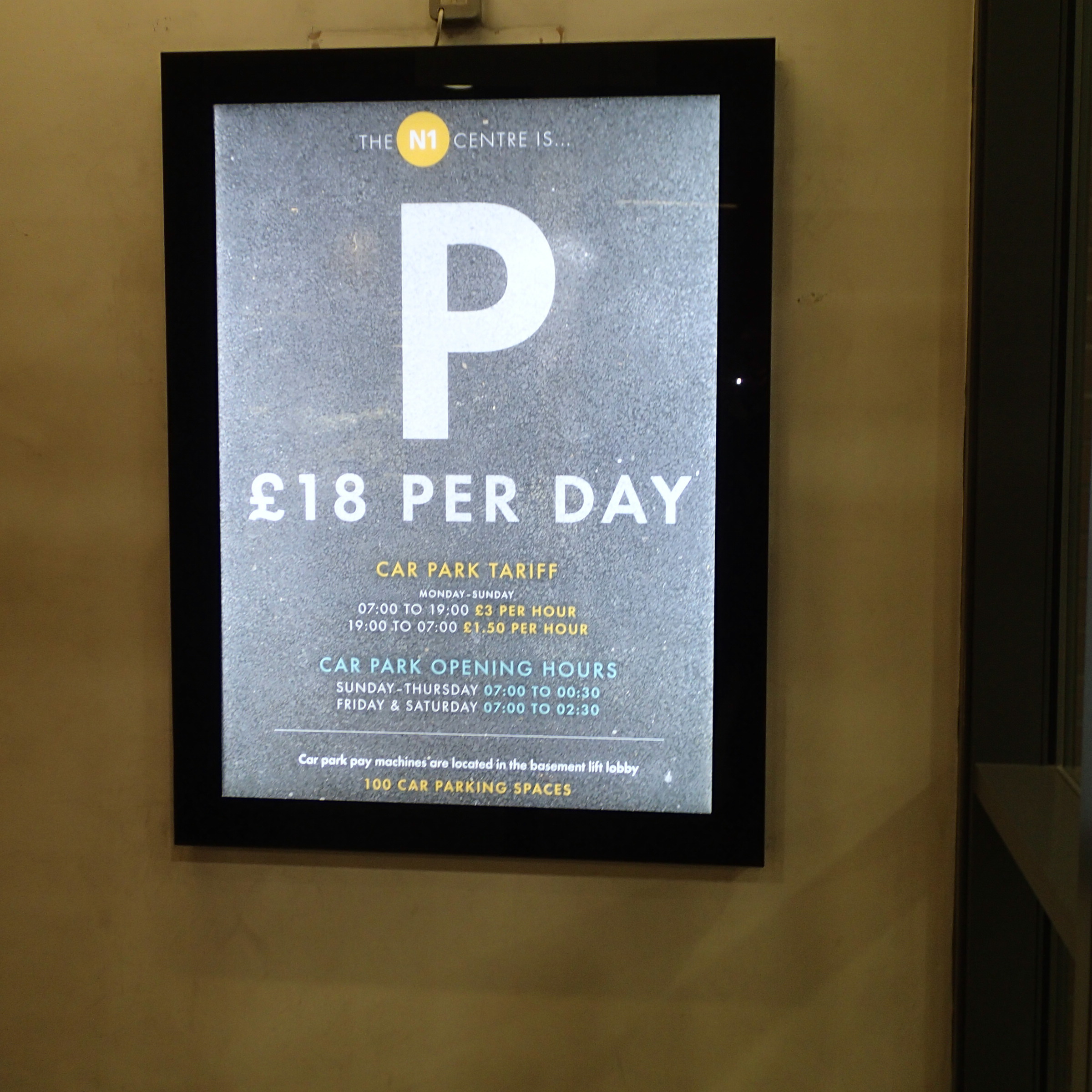
Why Does Anybody Park A Car In London At This Cost?
At £18 a day and against a taxi rank within fifty metres of this poster and buses going every way every half minute or so, I can certainly understand, why you never hear anybody complaining about the difficulty of parking in this area.
