To Dive Or Fly At Werrington
Network Rail are doing their bit to speed up trains on the East Coast Main Line. Over the last few years they have upgraded the Great Northern Great Eastern Joint Line from Werrington Junction, just north of Peterborough, to Doncaster via Spalding, Sleaford and Lincoln, so that the number of freight trains on the East Coast Main Line can be reduced and the passenger services can be speeded up. This page on Network Rail’s website describes the work.
But all these freight trains have started to get up the locals noses. This article in the Peterborough Telegraph is entitled Werrington And Peakirk Residents’ Plea On Rail Plans. It starts like this.
Two petitions signed by 752 people in Peterborough opposed to plans to increase freight services on the railway have been presented to Parliament.
Householders in Werrington and Peakirk have signed the petitions calling on the Government to start talks with rail operator Network Rail about the proposals.
The line is also noted for its numerous level crossings and proposals to shut them and according to this article in the Lincolnshire Echo, there is opposition to the closure of at least one crossing.
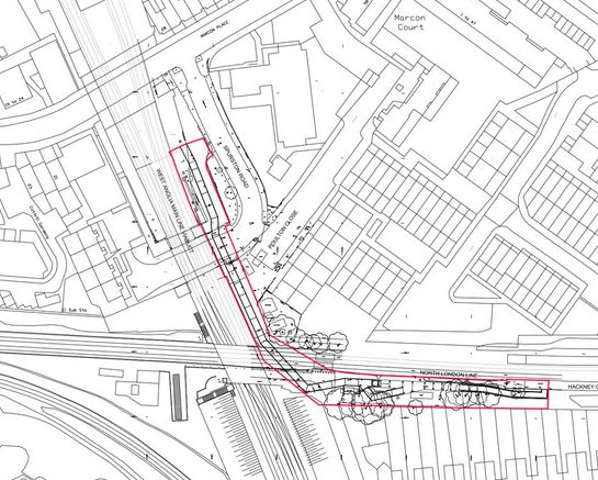
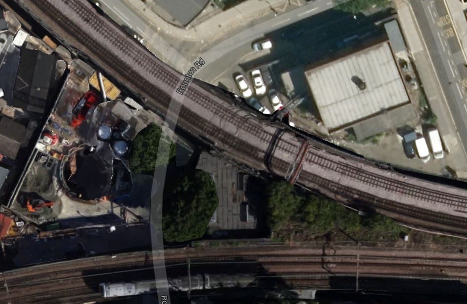
So now Network Rail want to create a flyover or a dive-under at Werrington Junction to speed northbound freight trains turning on to the line through Lincoln. This map from Network Rail, shows the two options.

Werrington Junction
The dive-under is shown in red and the flyover in blue.
I have a feeling that the decision for this much-needed junction and its construction will be a long-time coming.
I also think that it is complicated, by the fact that Peterborough is very much a city, where most people don’t use public transport, as they have their own cars, so any local vote would not be in favour of improving public transport or the railway, unless perhaps it improved commuting to London.
Perhaps the solution to these problems, could be a bit of bribery in the form of some strategically-located new stations and a very much improved rail service between Peterborough and Doncaster via Lincoln.
Removing One Hundred And Seventy Years Of Inadequate Design
The Manchester to Preston railway is san important line in the North-West of England, that was completed in 1841.
To say that is not fit for purpose is a total understatement, as it is not electrified and has a speed limit of just seventy-five miles per hour.
Finally, the line is being electrified and the speed limit will be raised to a hundred. From December 2016, hopefully refurbished Class 319 trains will be speeding from Manchester via Bolton and Preston to Blackpool and possibly Windermere.
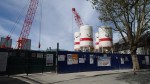
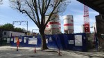
The major problem on the line are the twin tunnels at Farnworth. They have a history of make-do-and-mend and are too small to take the overhead wires and Network Rail have come up with a practical solution, that should last several hundred years at least. This Google Earth image shows the ends of the tunnels with respect to the location of Farnworth station and the A666.
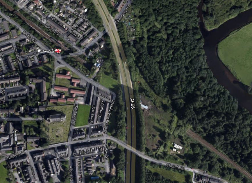
Farnworth Station And Tunnels
The smaller of the two tunnels will be refurbished and given a concrete lining, so that during the works, there will always be one track for trains. They will then bore out the larger tunnel, so that it is big enough to take two tracks and the overhead lines.
This will require that between May and October this year, there will be significant disruption to rail passengers. The whole project is described in this article in the Bolton News. It may cause a lot of disruption, but the passengers seem philosophical, as these paragraphs from the article show..
Jeff Davies, part of the newly formed Bolton Rail Users Group, said: “The station closures are the bad news, but there is good news here actually.
“It is the beginning of big investment which could take us out of the present problems and the companies have been at great pains to minimise inconvenience and ensure that Bolton people who work in Manchester will still be able to get there.
Perhaps this is because Network Rail have done their public relations well, if this YouTube video entitled Rebuilding the Farnworth Tunnel is anything to go by.
It all goes to prove that politicians should have sorted out the mess that are the railways of the North many years ago.
Euston Is Getting A Balcony
At Euston station today, it was obvious that Network Rail are creating a balcony in a similar way to how they did at Manchester Piccadilly and Waterloo stations. They describe the project on this page on their web site and these are some pictures I took today of the construction work.


Hamish Kiernan, Network Rail’s Commercial Retail Director is quoted as saying this.
Our award-winning developments at King’s Cross and Waterloo showcase what can be achieved at our major stations and now as we move our focus to Euston, we are confident we can create a bigger, brighter station for everyone.
Any improvement to Euston is to be welcomed.
I wonder how many other stations could be balconied to create more space.
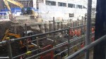
Pudding Mill Lane Portal – 17th April 2015
Crossrail’s Stratford Portal is where the surface section of the line to Shenfield enters the tunnel to go to Whitechapel and all the stations to the west. This is a Google Earth image of the works at the tunnel portal.
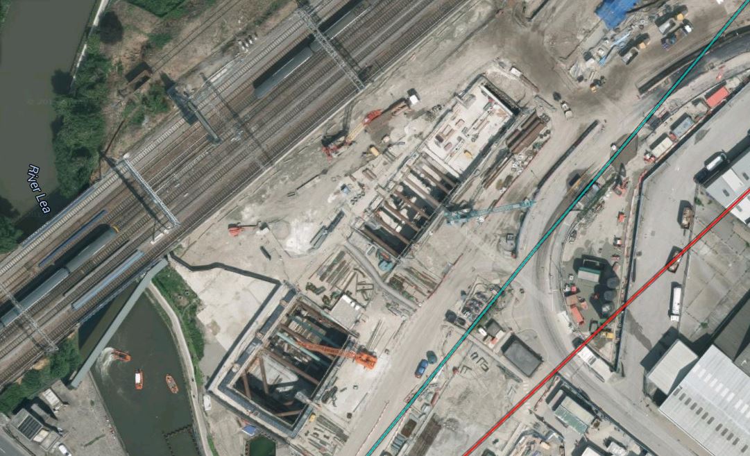
Crossrail’s Stratford Portal
A ramp is being built to and from the Great Eastern Main Line to connect the Crossrail tracks to those of the main line. This picture shows how Pudding Mill Lane station will look, when everything is complete.
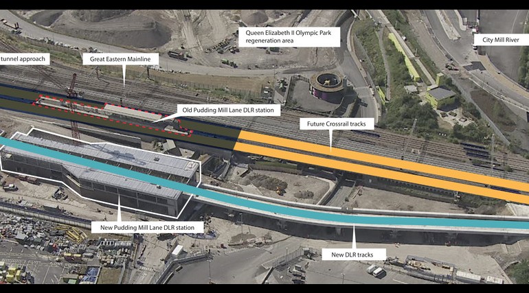
Pudding Mill Lane Station
The Crossrail tracks are shown in yellow and the DLR ones in blue.
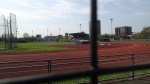
These pictures of the area were taken from Pudding Mill Lane station or a DLR train.
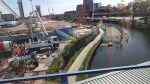
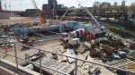
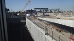
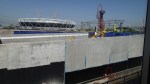
The station is certainly a good place to go to see the works going on here.
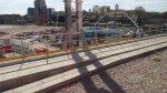
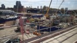
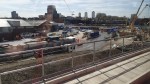
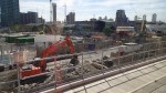
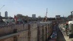
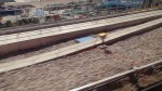
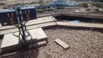
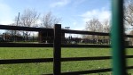
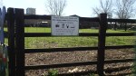
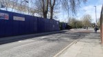
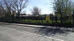
Archaeology At Liverpool Street
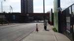
Liverpool Street, just outside the station of the same name, is home to a large archaeology project.
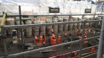
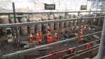
The pictures of the actual dig was taken from a publicly accessible walkway on the South side of the Street.
Crossrail’s Secret Ventilation Shaft
When I researched the ventilation shafts for Crossrail, I was surprised how few of them there are.
But there was one I missed that is not mentioned in the usual web sites and it was built in 2004.
This article on the website building.co.uk describes a secret ventilation shaft for Crossrail underneath Moor House.

Crossrail’s Secret Ventilation Shaft
How much disruption was avoided by incorporating the shaft in the building?
One advantage in the early firming up the route of Crossrail 2, is that if a building has to be rebuilt on the route, it can incorporate features so that it is ready for the line.
Hospital Closure Protests
Yesterday’s BBC London local news led with a story about how the hospitals of Epsom and St. Helier NHS Trust will be redeveloped.
They currently have three hospitals at Epsom, St. Helier and Sutton and consultants overhead on a train, are saying that a new hospital will be developed on one of the sites.
From what the report said, the locals want to keep all hospitals, which may not be the most economic or practical solutions.
I have looked at Google Earth images and the details on how you get to these hospitals and I suspect that the only practical way to get to these hospitals is by car or taxi. But as they probably charge an arm and a leg for parking, this is probably something that gets protested about all the time.
If they do build a new hospital it must be easily accessible by public transport. At present all sites need a long walk to all except Epsom, which is obviously a policy designed to discourage poorly and elderly patients and visitors without their own transport. There have been plans to link St. Helier hospital on the Tramlink, but nothing seems to be happening in that area. This is the Google Earth image for the hospital.
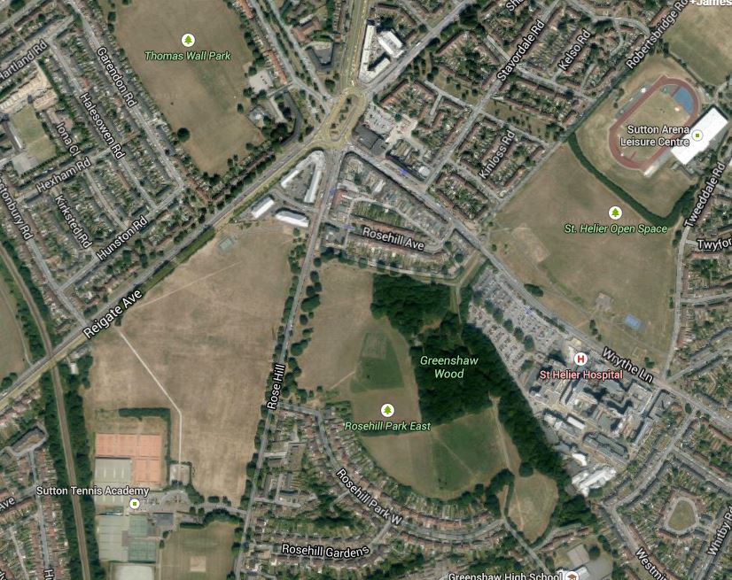
St. Helier Hospital
Surely, if you are going to create a new super-hospital it must have first-class public transport links. This article in the Local Guardian shows the route of the proposed Tramlink extension.
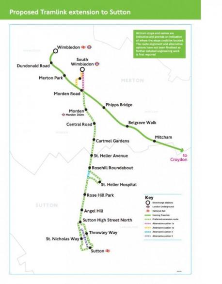
St. Helier Tramlink
I would assume that the loop to St. Helier Hospital includes street running or goes through Rose Hill Park. This a Google Earth image of the area.

St. Helier Tramlink Detail
The roundabout at the top left is Rosehill roundabout, which is planned to have a tram stop and the hospital is at the bottom right.
It would seem feasible to run the Tramlink to the hospital, but would the street running and/or possible loss of green space, create a lot of opposition?
A survey on the Merton Council web site is very supportive of Tramlink going to the hospital.
An interesting fact is that there is a frequent train service, that takes just ten minutes between Epsom and Sutton stations, so if a super-hospital was built on the St. Helier site, getting there from Epsom wouldn’t be difficult, provided of course the Tramlink extension was built.
If we look at Epsom Hospital becoming the super-hospital, then here is a Google Earth image that shows both Epsom station and the hospital.
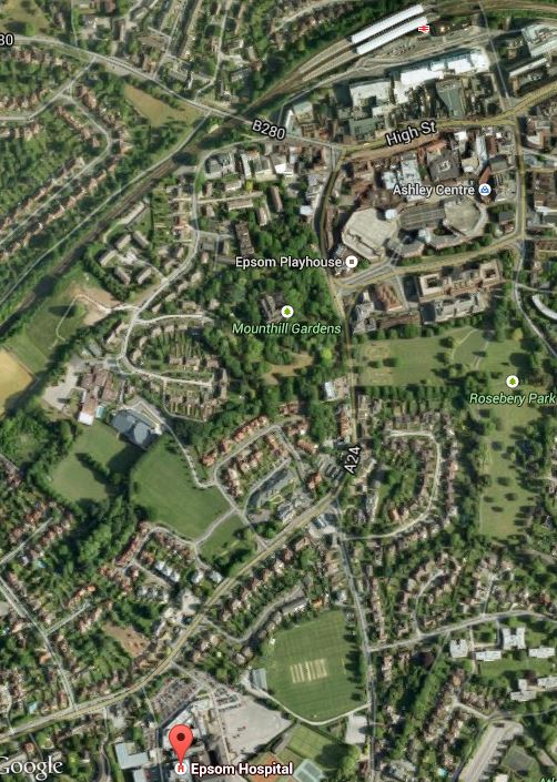
Epsom Station And Hospital
The station is at the top and the hospital is indicated by the red arrow at the bottom.
From experience of the area years ago, it is not an easy walk and should a super-hospital be served by buses alone?
The other site is to build it on the old Sutton Hospital. But this is only served by buses from Sutton station, as is the nearby world-class Royal Marsden Hospital. This Google Earth image shows the two hospitals and the nearest rail station at Belmont.
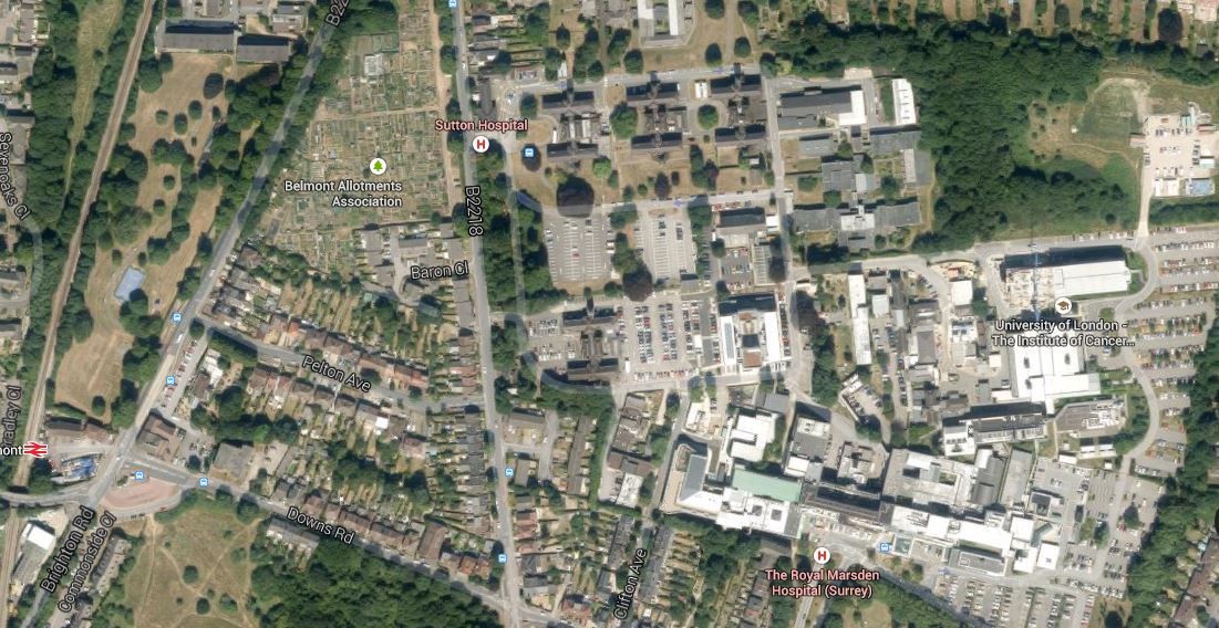
Sutton Hospitals And Belmont Station
There could be possibilities to sort out the transport links in some way to Belmont station, but it only has an infrequent service with nothing on a Sunday.
I have a feeling that if the Tramlink extension is built between Wimbledon and Sutton stations, that if tram-trains were used they could extend down the Epsom Downs branch, with perhaps a loop to serve the developing Health Campus based on the Royal Marsden and perhaps a super-hospital built at Sutton.
Work On The Hackney/Downs/Central Link Has Started
The long-awaited pedestrian link between Hackney Downs and Hackney Central stations seems to be arriving on the eastbound Platform 2 at Central.

That could be a bit surprising, as I thought it was arriving on the westbound Platform 1.
This page on London Reconnections has this diagram.
Hackney Downs Central Link
Note that the link goes to Platform 1, whereas it now goes to Platform 2.
I can’t find anything on the usual web sites, but this page on the contractor; Spencer Rail’s web site, says this.
An earlier proposal had to be abandoned because it would interfere with Network Rail signalling equipment. The latest plan avoids this problem by building the interchange on the northern side of the track.
I think for some passengers this will be better. It will probably only make a difference to me, if I’m coming from my son’s in Walthamstow and need to pick up some supper in Marks and Spencer.
On the other hand the link may connect the stations in the dry, but some transfers will mean going up and down the stairs at Hackney Downs, which is a station that is in desperate need of lifts.
Crossrail And The Channel Tunnel Rail Link Compared
The differences between the ventilation and access shafts in Crossrail and the Channel Tunnel Rail Link seem to be more than you would think.
Those in the newer tunnel appear to be smaller and possibly lesser in number. Certainly after a redesigned Crossrail abandoned eight further shafts, which must have been a substantial saving.
Perhaps too, as Crossrail has stations in its tunnels under London, the number of shafts can be reduced.
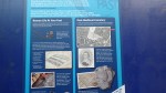
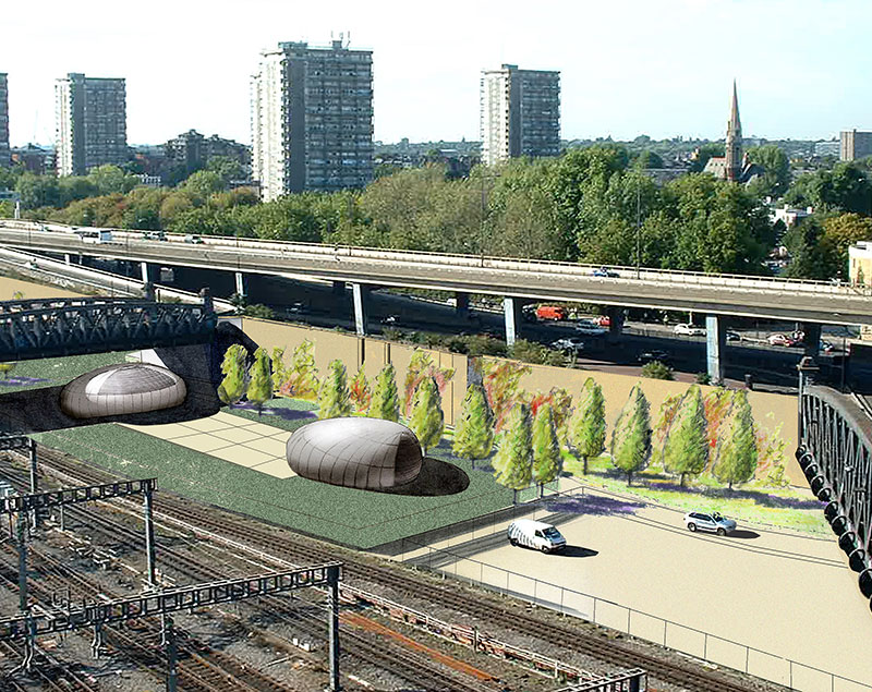
If you look at the pictures of the five Channel Tunnel ventilation shafts, you will see a series of brutal brick towers more equivalent to Napoleonic War defence installations, than anything built in this century. None of those for Crossrail have yet been built, but they seem to be innovative structures that enhance rather than confront their environment. This page on the Fereday-Pollard web site shows a few concepts. I particularly like this visualisation of the concept for the ventilation shaft in Mile End Park.

Mile End Park Ventilation Shaft
This is another almost cheeky concept from this page on the Acanthus Architects web site.
Crossrail Ventilation Shaft By Acanthus
This Google Earth image may show the location of this ventilation shaft.
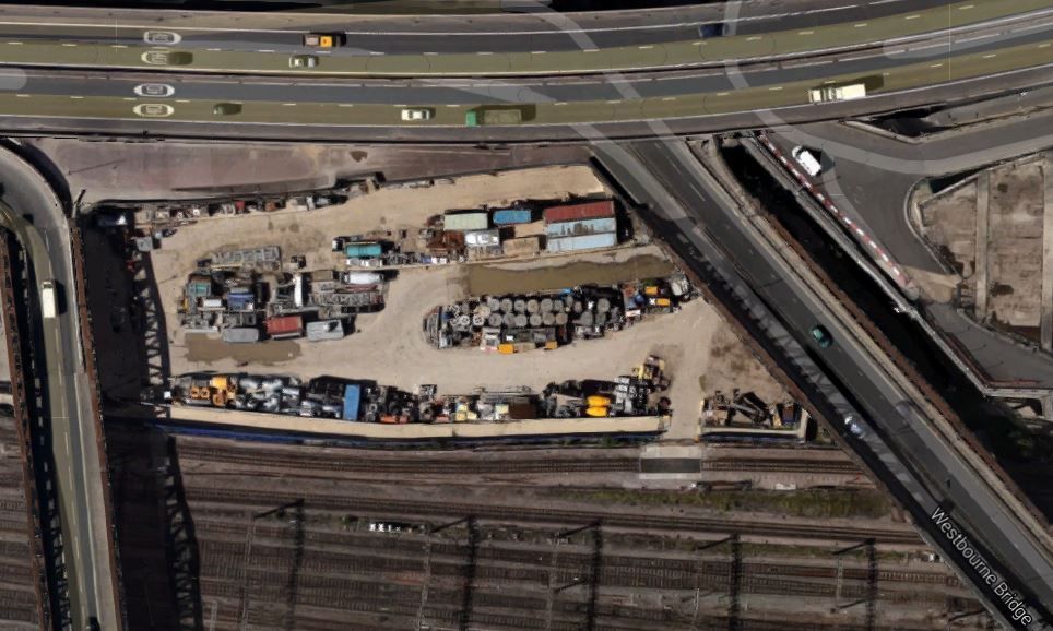
Ranelagh And Westbourne Bridges
The shaft is above the Royal Oak portal by the elevated A40 Westway between Ranelagh and Westbourne Bridges over the Great Western Main Line into Paddington station.
I think it all points to Crossrail 2 being simpler still! But then with my experience of watching projects for many years, as each version of a series of similar projects gets implemented, the engineers and managers ratchet up the design quality, speed of construction and efficiency.
The Ventilation Shafts For Crossrail
This post is being developed together with a related one of the ventilation shafts for the Channel Tunnel Rail Link, to show the sort of buildings we can expect to be created to provide access to new rail tunnels under London and other cities.
As I travel around the city, I will be adding more pictures and when I think the details are complete, I’ll add a summary.
Crossrail goes from Stratford and Abbey Wood to Royal Oak across the city in twin tunnels.
The tunnels have to have ventilation and emergency access shafts and there are six of them for the Crossrail. The original plan for the tunnels required another eight shafts, but after a redesign they were removed, as is detailed in this note on the Crossrail web site. This is an extract from the note.
The Mayor of London, Boris Johnson, today welcomed news that Crossrail has reached agreement with the London Fire Brigade (LFB) to remove eight of the proposed permanent access and ventilation shafts from the central tunnelled section of the new railway.
This decision will particularly benefit communities in east London where four of the permanent shafts were due to be located. The removal of the shafts means the elimination of construction works impacts, including lorry journeys, in these areas. In addition, a number of properties in Hanbury Street in east London will no longer need to be compulsorily purchased and demolished.
The eight shafts no longer required are located at: Westbourne Bridge W2, Hyde Park W2, Park Lane W1, Hanbury Street E1, Lowell Street E14, Hertsmere Road E14, Blackwall Way E14 and Warren Lane SE18.
These permanent access and ventilation shafts would typically be around 9 metres in diameter, with a structure on top the size of a one- or two-storey building.
Looking at that last statement, it would appear that the ventilation shafts for the Channel Tunnel were much larger. Is that progress or just that Channel Tunnel trains are lsrger and faster?
From East to West across London the ventilation shafts that are now being built are as follows.
1. Eleanor Street Ventilation Shaft
This shaft is located in a triangle of rail lines between Bow Road and Bromley-by-Bow District Line stations.
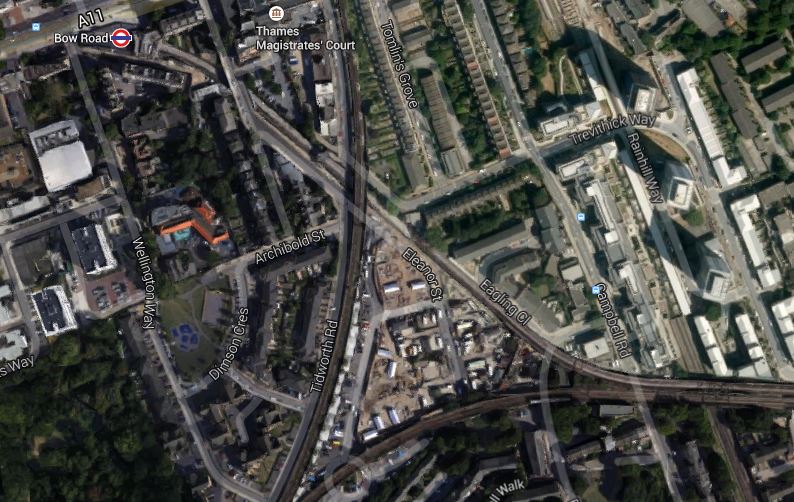
Eleanor Street Ventilation Shaft
The shaft is in the point of the triangle at the eastern end and it shares the triangle with the Eleanor Street Gypsy and Travellers Site. This is another image to a larger scale.
An Enlarged View
It clearly shows the round shaft.
After construction, this part of the site has been redesigned as detailed in this page on the architect’s web site.
These are images I took of progress to date, some from a District Line train, passing by the site.

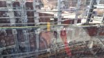
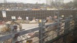
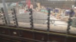

It is possibly the only Crossrail ventilation shaft that you can look into, when you see it from the train. Unfortunately, getting a clear image was diffucult, especially from a train with dirty windows.
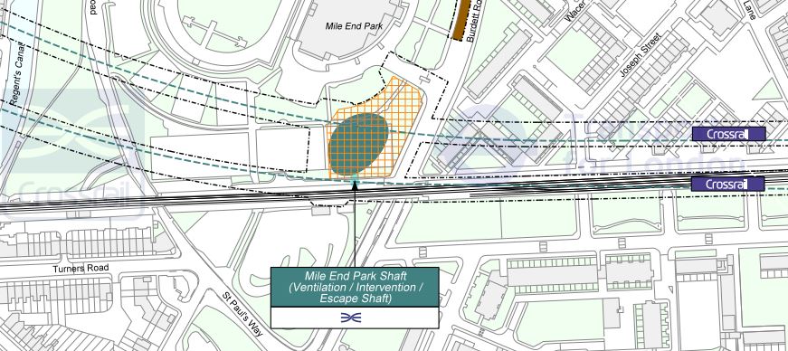
2. Mile End Park Ventilation Shaft
This shaft is located in Mile End Park, just north of where the rail lines into Fenchurch Street cross Burdett Road. This is a Google Earth image of the site.
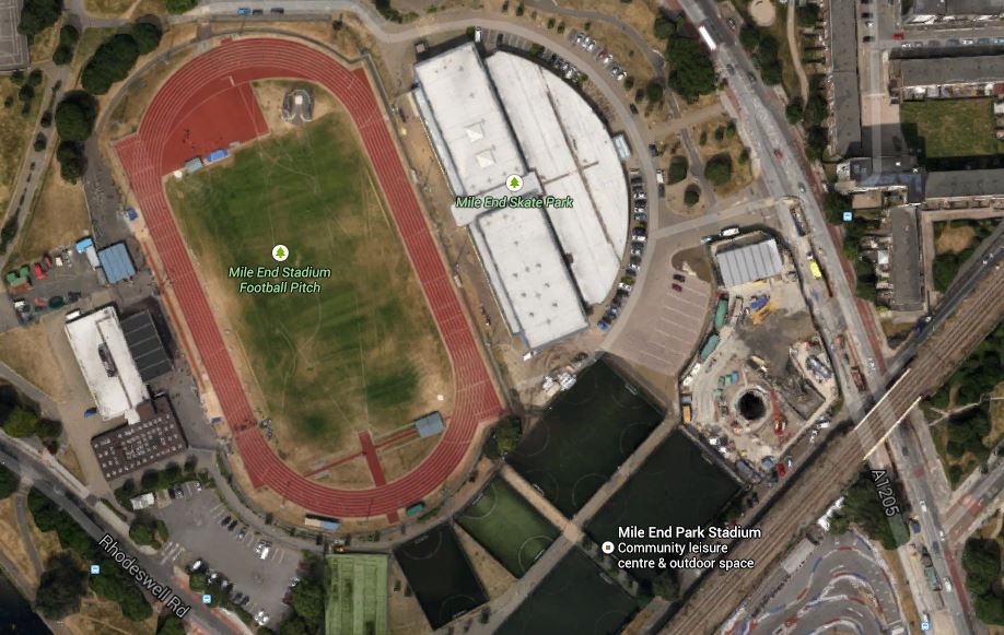
Mile End Park Ventilation Shaft
Note the shaft which is clearly visible in the middle of what looks to be a site fenced off from the rest of the park.
Google found this other image of a drawing of the layout at Mile End Park.
Mile End Park Ventilation Shaft
It is at a different angle, but I believe it confirms the black hole in the first image is the shaft.
This Google Earth image shows the shaft in more detail.
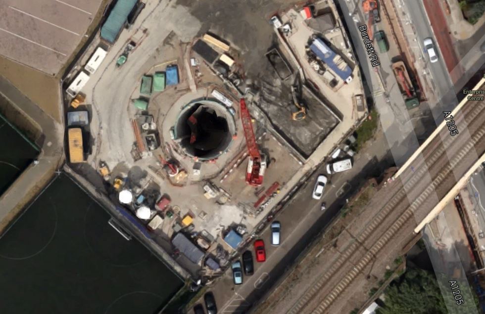
An Enlarged View
And this is a visualisation of what the shaft will look like when complete.


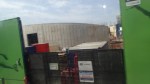
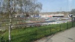
These are images I took of progress to date, together with several images of the park.


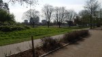

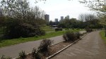
It looks like there will be a concrete retaining wall around the whole site. If you look at the map, visualisations and my actual pictures, I think it could be true to say, that when the ventilation shaft is complete, it will enhance rather than despoil the area. It is certainly orders of magnitude better than the Martello towers of the Channel Tunnel Rail Link
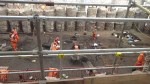
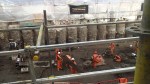
3. Stepney Green Ventilation Shaft
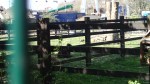
Stepney Green is much more than a ventilation and access shaft as thirty metres down is the junction, where the two eastern branches of Crossrail. join. This is a Google Earth image of the site and the Stepney City Farm, which shares the land.
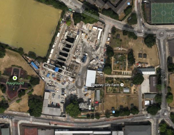
Stepney Green Ventilation Shaft
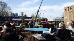
I went there today and took these pictures.

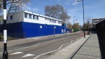


As you can see, I also had a cup of tea in a genuine willow pattern cup and saucer, that must have been fifty years old at least.
To me, this project, where one of the largest holes ever dug in Europe has been created shows how with good thinking and project management skills even the largest and most difficult projects can be carried out, without upsetting the neighbours.
Every project manager in charge of a project that is a bit sensitive, should go to Stepney City Farm to see how projects should be performed.
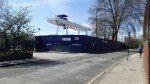
4. Durward Street Ventilation Shaft
Tucked away between the Blind Beggar public house and Whitechapel’s Sainsburys supermarket is the Durward Street Ventilation Shaft. This Google Earth image shows the shaft.
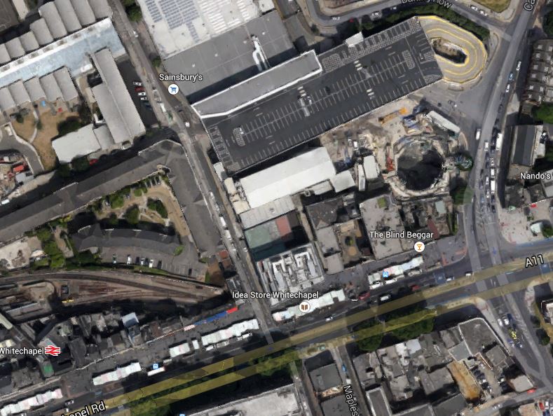
Durward Street Ventilation Shaft
Note how little space, there is in this area.
5. Blomfield Street Ventilation Shaft
This shaft is by Liverpool Street and is described on this page on the Crossrail web site. This lead paragraph describes its main functions.
At the Blomfield Street worksite we are constructing the Blomfield Box, a ventilation shaft for Liverpool Street Station; it is Crossrail’s deepest piled shaft. The shaft will house mechanical and electrical plant as well as service as an emergency escape route from the station.
The position of the shaft is shown in this Google Earth image.
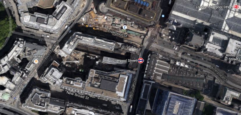
Blomfield Street Ventilation Shaft
The actual shaft is hidden by the buildings, but you should be able to read Blomfield Street. On the ground there is a gap in the buildings, where the shaft is being built.
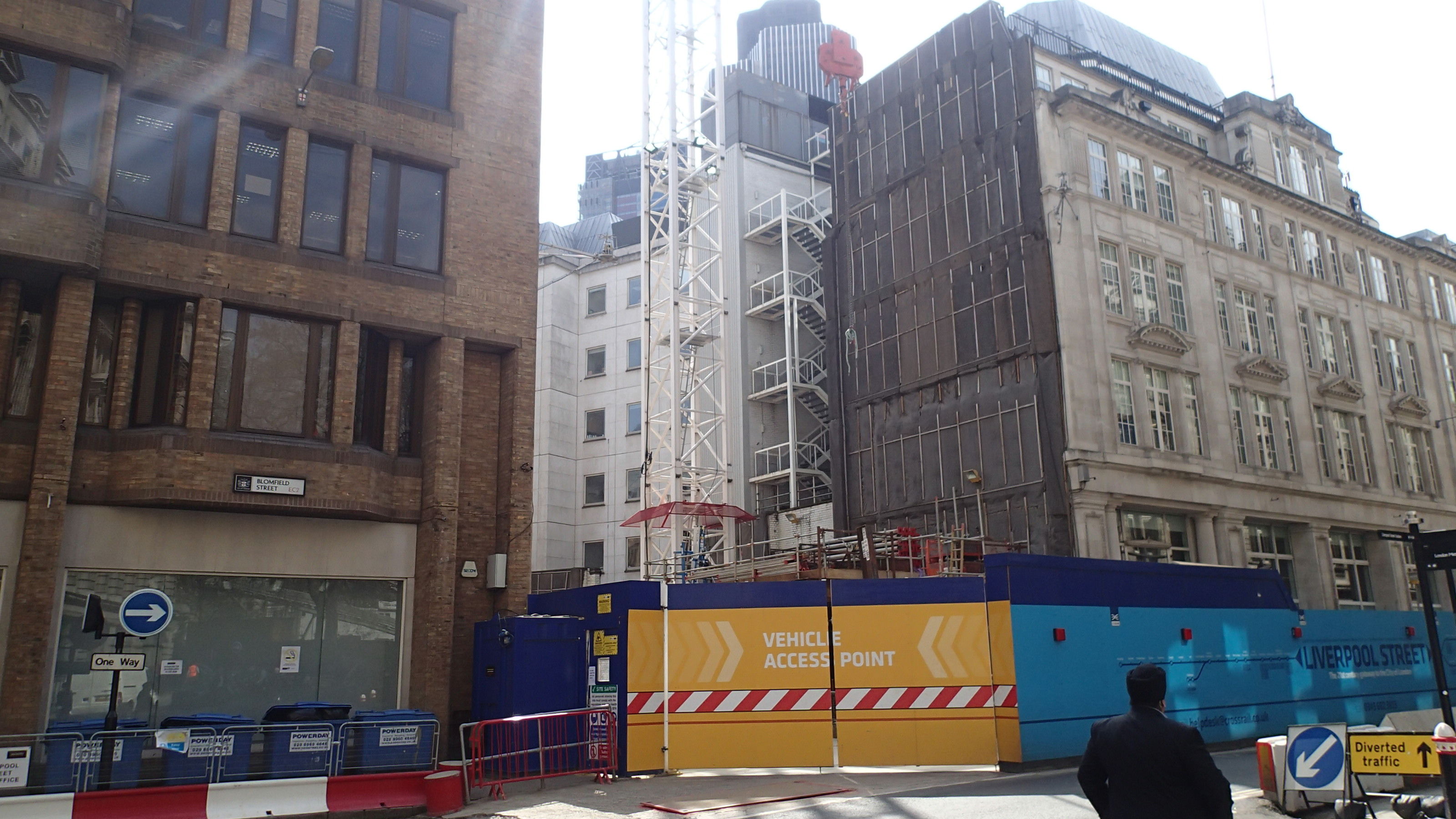
Blomfield Street Vent Shaft Location
I suspect that the shaft will be topped by a useful building in an appropriate style, as any land within the actual City is so valuable.
6.Fisher Street Ventilation Shaft
This shaft is just north of Holborn station and is shown on this Google Earth image.
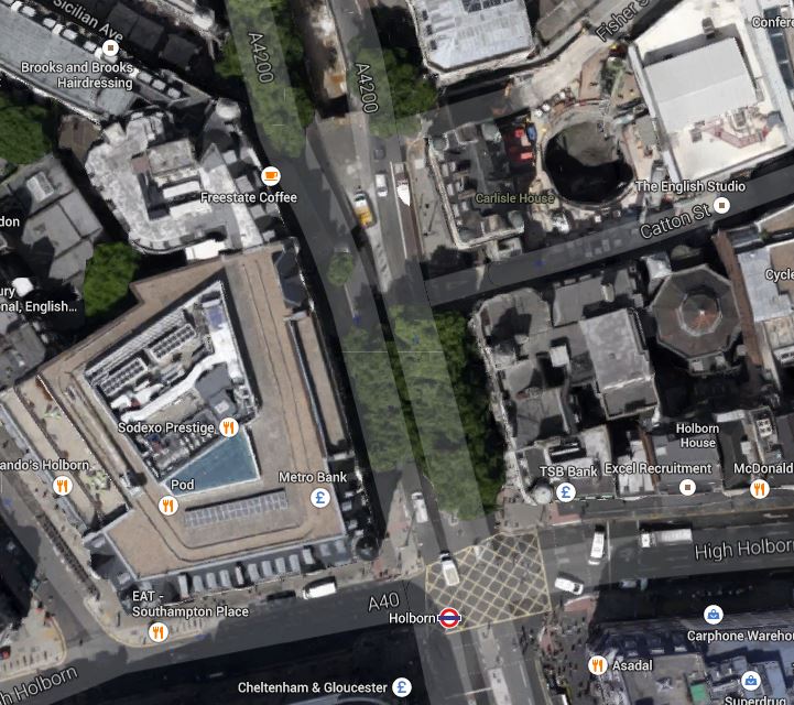
Fisher Street Ventilation Shaft
Note the shaft in the top right of the image. There is not much to see on the ground yet.
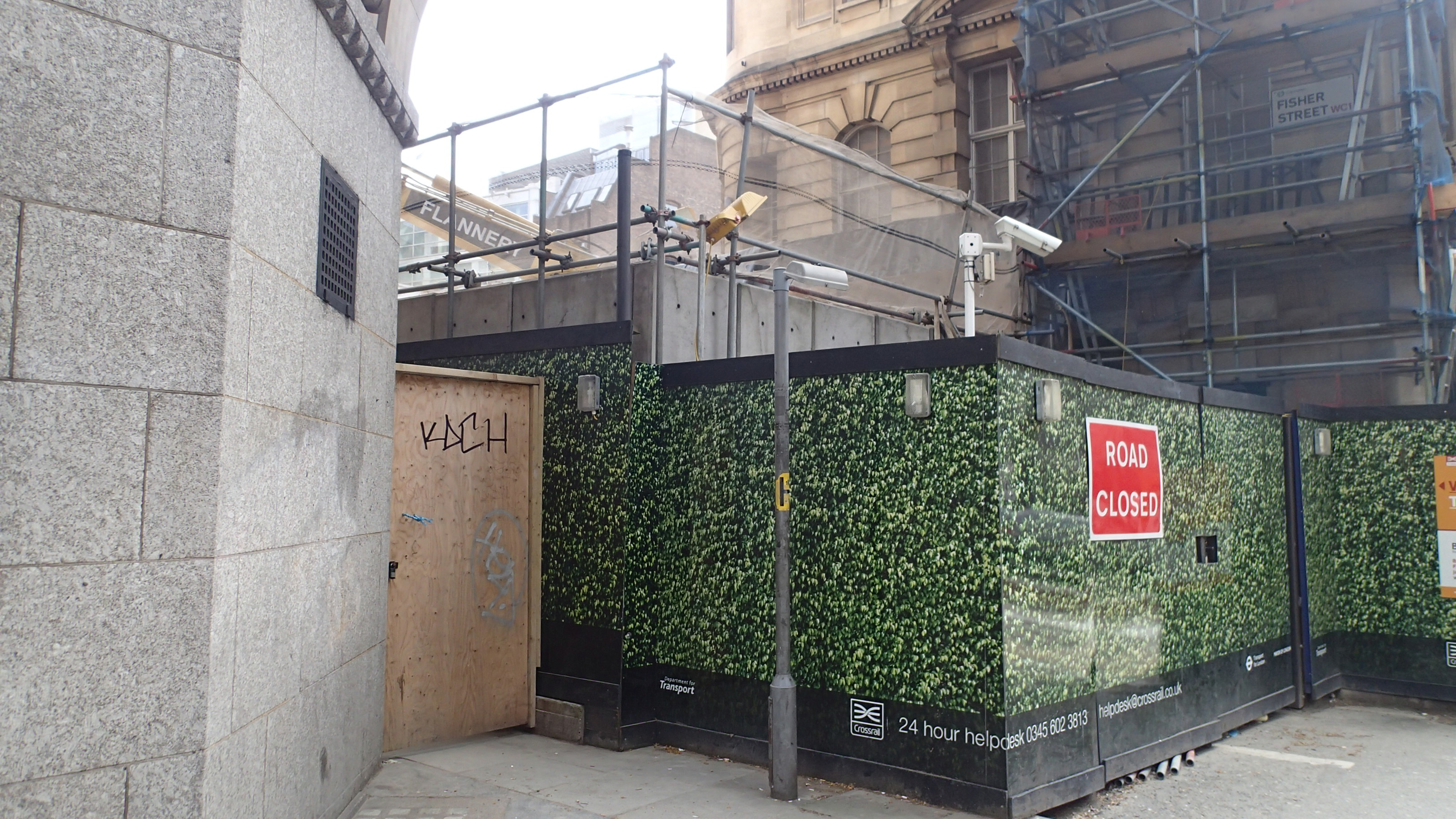
Fisher Street Ventilation Shaft
The picture shows the site from Southampton Row.
