Further Investigations Around Camden Town
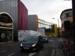
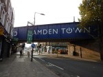
As there was nothing else to do, and I’d watched Match of the Day last night, I went to Camden Town to investigate the area and see if I could get any pictures of the disused lines that looped round Camden Road station.
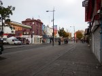
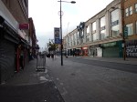
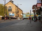
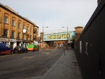
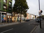
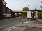


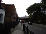
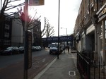

I walked up Camden High Street and then turned into Hartland Road, where in 1970 we nearly bought a newly-refurbished house for six grand. I wrote It Always Rains On Sunday, about a film shot in the road. The house we tried to buy could have been the one in the film or one of its neighbours.
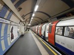
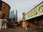
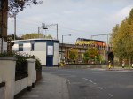
I then went in a circle following The North London Line before I ended up on Royal College Street, from where I entered the station to get a train home to Canonbury.
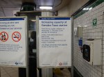
As I did in Camden Town Station Capacity Upgrade, I can add a few conclusions and questions.
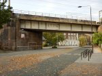
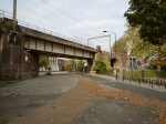
- What is happening between Hawley Road and the Regent’s Canal? This Planning Framework from Camden Council gives some history and some rules.
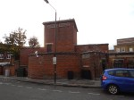
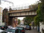
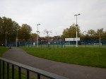
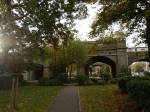
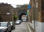
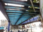
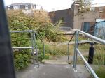
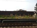
- The loop around the station ends in a stub end above Camden Gardens.
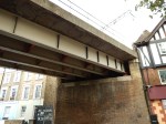
- The arches underneath the loop seem to be in good condition.
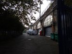
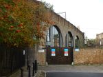
- The arches under the railway in Camden Gardens have no obvious current use.
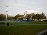
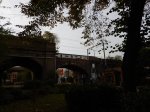
- There would appear to be enough space to create any platform extensions needed at Camden Road to accommodate the planned six car trains.
- The extended platforms could probably reach to Camden Gardens.
- Could escalators and/or lifts to connect Camden Road and Camden Town stations be built into the empty railway arches in Camden Gardens?
As I said previously, there is a lot of scope to do something really good in this area. Further digging has led me to this article in the Evening Strandard, which has this picture of what is now called Camden Lock Village.
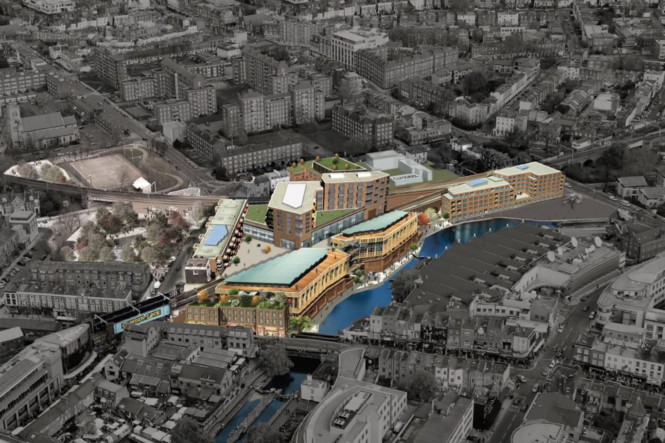
Camden Lock Village
Note how the rail lines thread their way through the development.
This is said by the Standard about the development.
The plan for the project will feature 170 new homes, of which 156 are private and the rest affordable housing. There will also be new shops and market pitches and 100,000 square feet of offices.
Building firm McLaughlin & Harvey has also been hired to build a primary school and nursery.
If you add in the number of visitors already going to the area, I can’t believe that serious thought has not been given to how the development will effect the new Camden Town station and its relationship to Camden Road station.
We could be seeing some interesting plans, when TfL show them in full on Wednesday and Thursday this week.
If as I suspect TfL decide to go to for a full Camden Interchange, where the following lines meet.
- North London Line
- Edgware – Charing Cross – Battersea – Clapham Junction Section of the Northern Line
- High Barnet – Bank – Morden Section of the Northern Line
Then I feel that they will throw other services into the Interchange.
TfL have talked for years about reopening Primrose Hill station on the line between Camden Road and Queen’s Park on the Watford DC Line. Who knows if it will happen?
Something that will happen is an increase in frequency and capacity on both the North and East London Lines. This will mean a full Camden Interchange is more likely.
What is often the biggest constraint on frequency is turning the trains at the end of the line. I do wonder if the former loop at Camden Road station could be used as a turnback platform for trains from the East. It’s certainly a possibility.
I can remember when the current London Overground was designed, that there was talk of some East London Line trains terminating at Willesden Junction. So perhaps in the future we might see a service from Crystal Palace to Willesden or Camden Road via Highbury and Islington.
One of the rules of scheduling is to match your available resources to the needed demand. So as TfL have all the details about complete passenger journeys including any changes, they know the pattern of services that will result in the most efficient loading of the trains.
Passengers on the whole are intelligent, so when a new service is provided, they will check it out to see if it gives them a better journey. If it does they will continue to use it. This phenomena explains why both new roads and rail lines generally attract more traffic than was originally forecast.
West Hampstead Station: A Tangle Of Property Development And People To Solve
West Hampstead station is one of those North London Line stations, that has narrow platforms, which need lengthening and a cramped station building with no step-free access. The station also sits in the middle of a large property development. This Google Earth image shows the station.
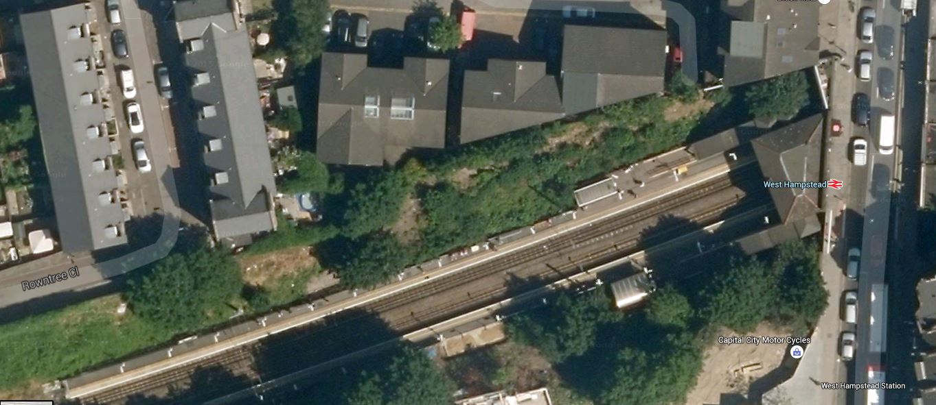
West Hampstead Station
This was obviously taken before the development started. There were plans for a grand West Hampstead Interchange, drawing the four rail line in the area; Underground, Overground, Thameslink and Chiltern together in modern stations linked by a boulevard.
This page on the London Borough of Camden web site, is a pointer to some documents. This Google Earth image shows the various rail lines.
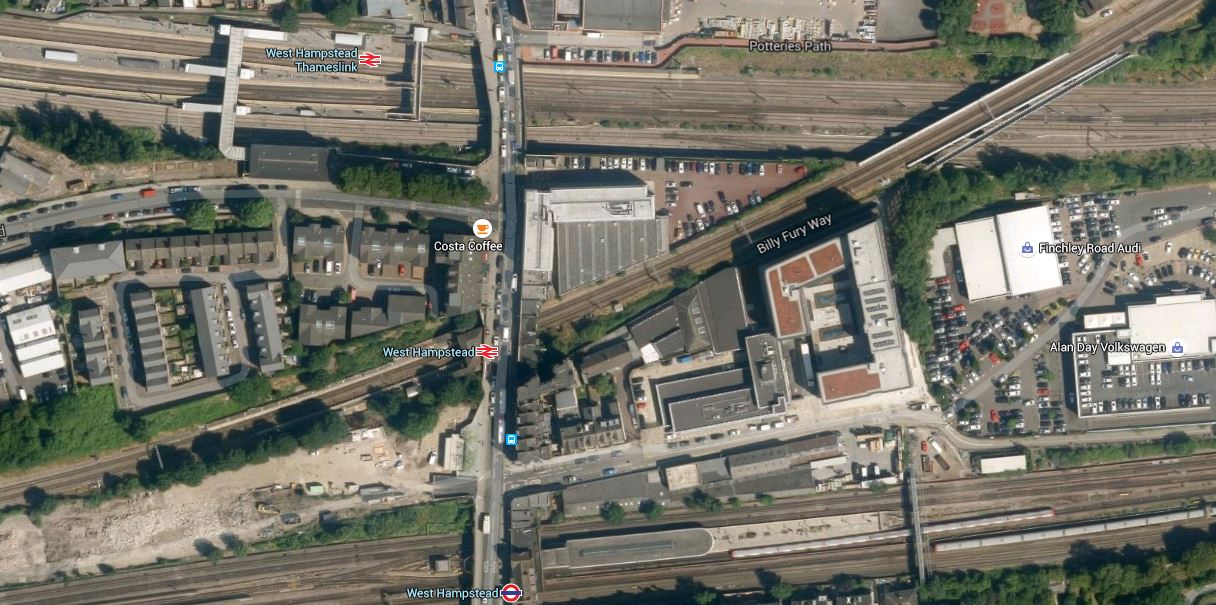
West Hampstead Lines
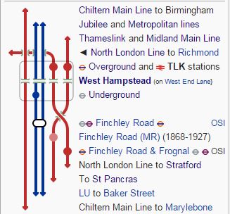
There is actually more lines than is obvious here. Starting from the top (north), the lines and stations are.
1. Thameslink passing through West Hampstead Thameslink station – From 2018 this will be a very much increased service.
2. Midland Main Line passing through West Hampstead Thameslink station – The number of services stopping here to places like Sheffield, Nottingham, Derby and Corby may well increase as the line to Sheffield is electrified.
3. North London Line passing through West Hampstead station – This is being upgraded to take five-car trains.
4. Jubilee Line passing through West Hampstead Tube station – A station not to the standard of the Jubilee Line Extension.
5. Metropolitan Line passing alongside West Hampstead Tube station, but without platforms.
6.Chiltern Main Line passing alongside West Hampstead Tube station, but without platforms.
This is Wikipedia’s schematic of the lines.
West Hampstead Lines
I would say that the best way to sum up the area is using that old estate agent’s phrase of development potential.
So how is West Hampstead station getting on?

There certainly seems to be lots of flats growing up by the side of the railway and these seemed to have replaced the trees. There was a bit of fuss about the thirty-five trees being removed, which I can sympathise with, but surely a better plan would be to take away as much traffic as possible from West End Lane and make it a proper tree-lined boulevard. But any council that suggested that would be voted out by the 4×4 owners.
There’s a preview of the new West Hampstead station on West Hampstead Life.
I’m not impressed and it is rather a poor design compared to Hackney Wick.
Only time will tell, but rail developments will have a big effect on the number of people using the stations at West Hampstead.
1. The opening of the full Thameslink service in 2018.
2. More trains from West Hampstead Thameslink station to the North on full electrification to Sheffield.
3. The possible opening of Metropolitan and Chiltern Main Line platforms in a rebuilt Underground station.
4. Network Rail and Transport for London have stated that they will increase the capacity on the London Overground, by increasing the number of trains and running six-car trains. Certainly they will do this on the East London Line, which will get twenty-four trains an hour.
It is my view that all of this extra rail traffic, will necessitate the turning of West End Lane into a proper pedestrian boulevard with very much reduced traffic levels. The only alternative would be to create a pedestrian tunnel.
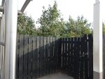
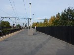
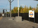
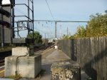
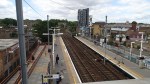
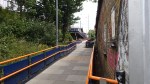
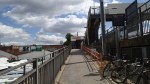
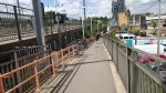
Homerton Station
I went to Homerton station today to see how the station was built and take some pictures.
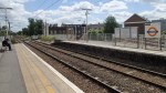


The layout of the station is simple with a subway under the lines and steps and shallow ramps to both platforms. It is not true step-free access, but it is better than many other stations.
I did hear though that the station is going to be improved, by opening up a new entrance on the Northern side of the tracks. I also think that this would be an easier station to fit with lifts as there seems to be more space than at some stations. In fact, as it is near to a hospital lifts are surely essential.
The second entrance would also mean that there are both a bridge and a subway under the railway, which must make access easier, especially for those walking to and from the hospital.
I think that this station can be updated with a second entrance and lifts for a lot less than the eight million that is possibly be going to be spent at Hackney Wick station.
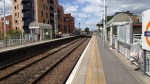
Freight At Hackney Wick Station
When I took the pictures, for the article about the redesign of that Hackney Wick station, two freight trains came through.


Is it just my feeling or are there more and longer freight trains on the North London Line?
The one that went west was particularly long. But at least it was electric hauled.
In all my searching for rail improvements in North and East London, I couldn’t find any plans for new freight routes to reduce the amount of freight traffic through the area.
The only positive thing is that the Gospel Oak to Barking Line is being electrified, which will mean that the trains will hopefully not be powered by noisy and smelly diesel locomotives.
So will we be seeing more freight trains going through in the middle of the night, as trains have to get past London on their way between. Felixstowe, Harwich, London Gateway and all the ports in the East to the West Coast Main Line and the Great Western?
The only partial solution is to electrify Felixstowe to Nuneaton via Peterborough and complete the East-West Rail Link to minimise traffic to and from Felixstowe going through London.
The only thing we can say about freight through North and East London, is that the problem will be get more and more difficult.
Imagine what would happen if the new Ultra Large Container Vessels started serving say Liverpool or Glasgow and then large numbers of containers were sent by rail through the Channel Tunnel to Europe. There have been plans to do this in the past as it saves time in getting goods from North America to Germany.
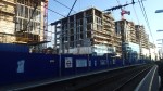
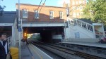
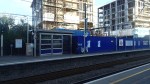
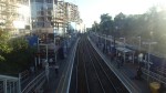
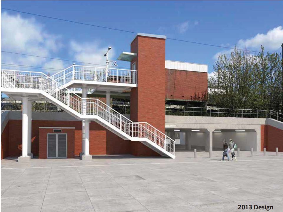
The Plans For A New Hackney Wick Station
Hackney Wick station is one with two long ramps up to the platforms, which are on an embankment. This is a Google Earth image of the current station.
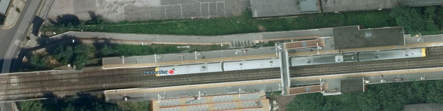
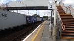
Hackney Wick Station
Note the Class 378 train in the Eastbound platform and the very long ramps.
These pictures show the current station.


But improvements are in the offing.
This document on the Hackney Council web site announced the plans for a new station. It says this.
An £8.5 million project to upgrade Hackney Wick Station has been announced.
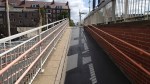
Improvements are set to include new routes to reduce journey times to iCITY and the Olympic Park, moving the station entrance to street level, a new and enlarged concourse, lifts for step free access and the creation of a north-south walkway for passengers and pedestrians through the railway embankment.
It certainly is a comprehensive rebuild. I clipped these images from this document.
This is the station entrance.

Hackney Wick Station Entrance
This is the view from the south side of the line.
Hackney Wick Station South Elevstion
This image shows the Hackney Wick Artwall, which is shown in one of the pictures I took.

Hackney Wick Artwall
In my view the overall station design sets a powerful precedent, as it puts a subway into a station on an embankment with lift towers on either side of the tracks.
There must be a few stations like this that could be given a similar treatment.
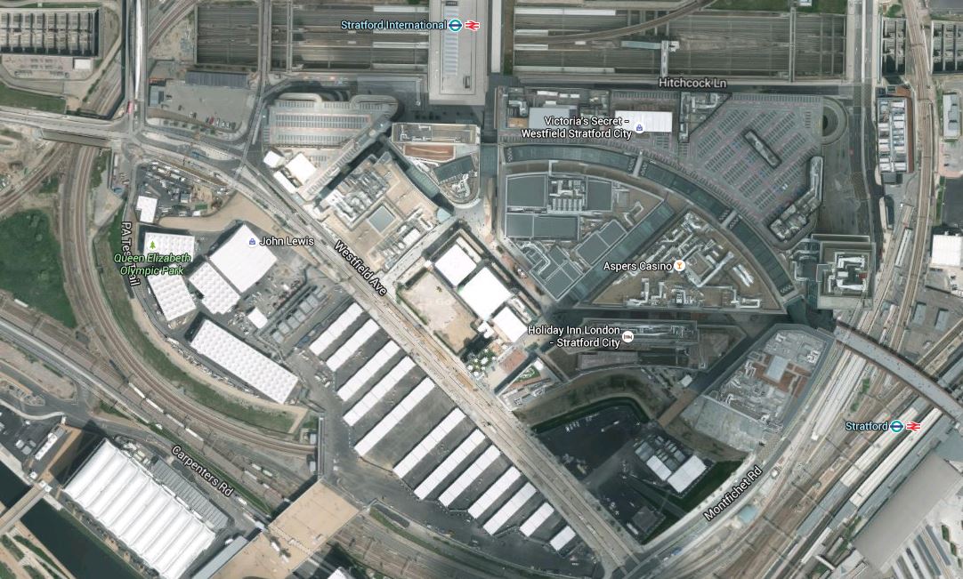
The High Meads Loop At Stratford
This piece started life as an investigation into a rail line connecting the North London and Lea Valley Lines at Stratford, but it ended up as more of an index to what is happening to trains around Stratford and up the Lea Valley.
If you travel on the North London Line from Hackney Wick station to Stratford station, you’ll see a rail line going off to the North side of the line under the Olympic Village.
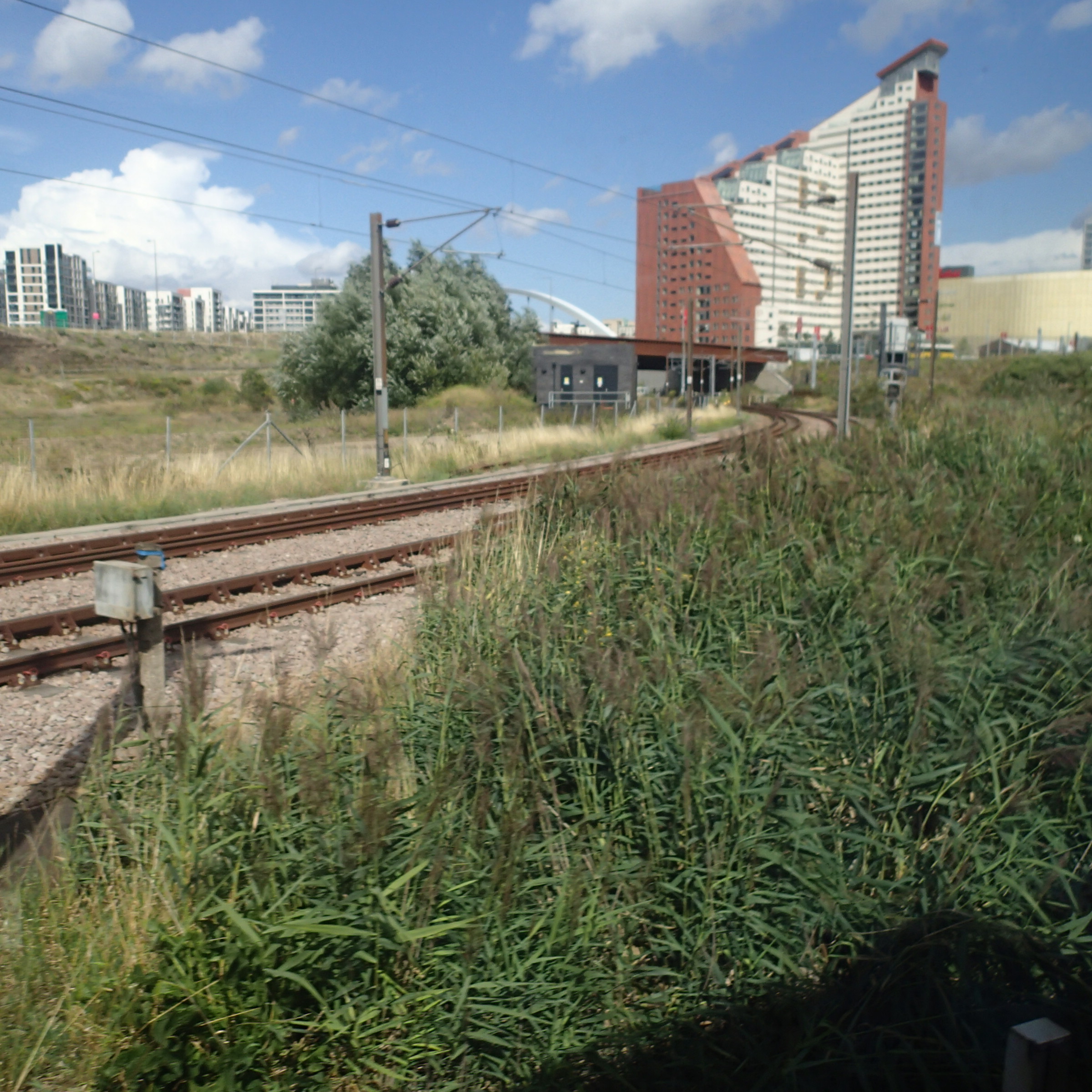
High Meads Loop At Stratford Joins North London Line
If you travel up the Lea Valley Line, you’ll see the other end of the line.
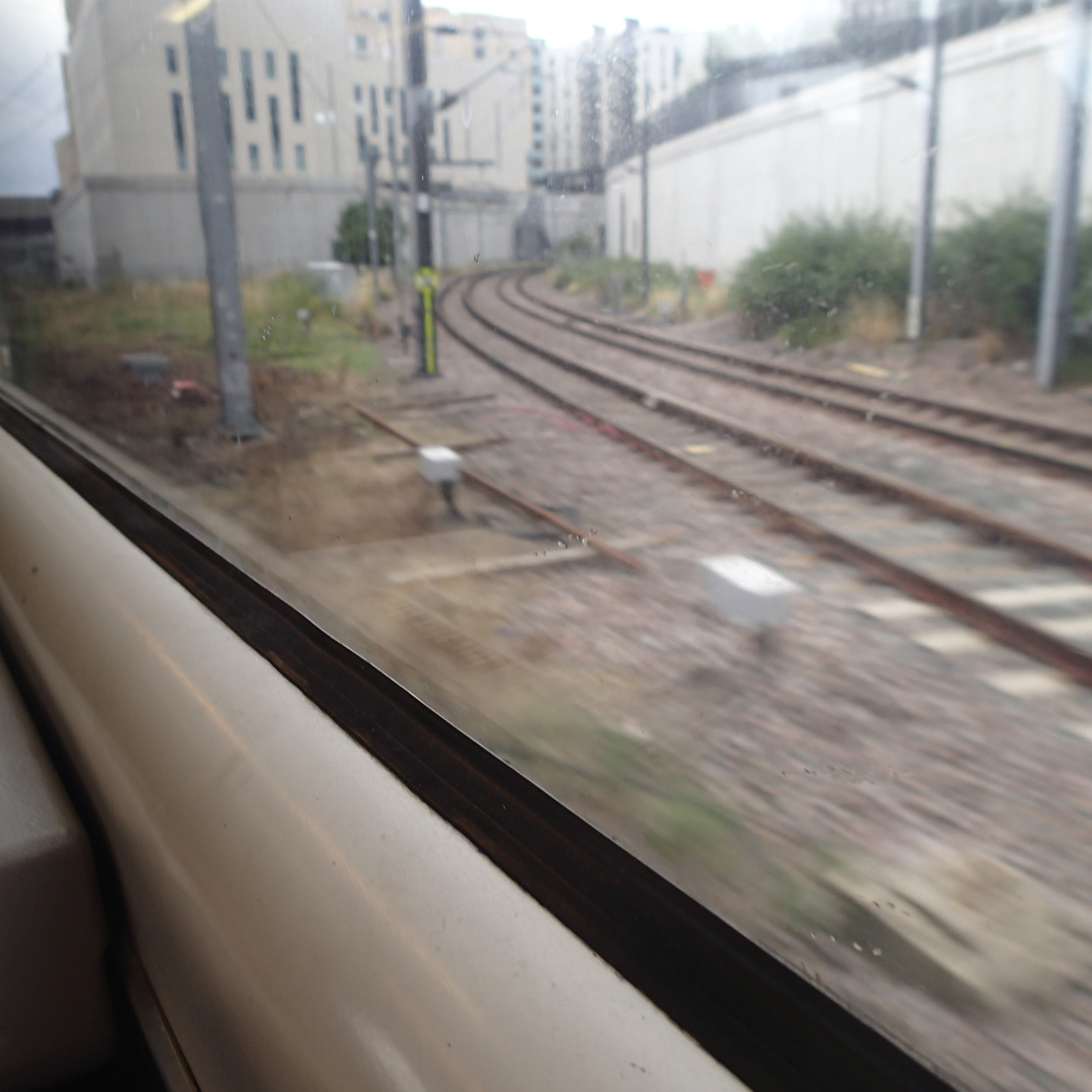
High Meads Loop At Stratford Joins Lea Valley Line
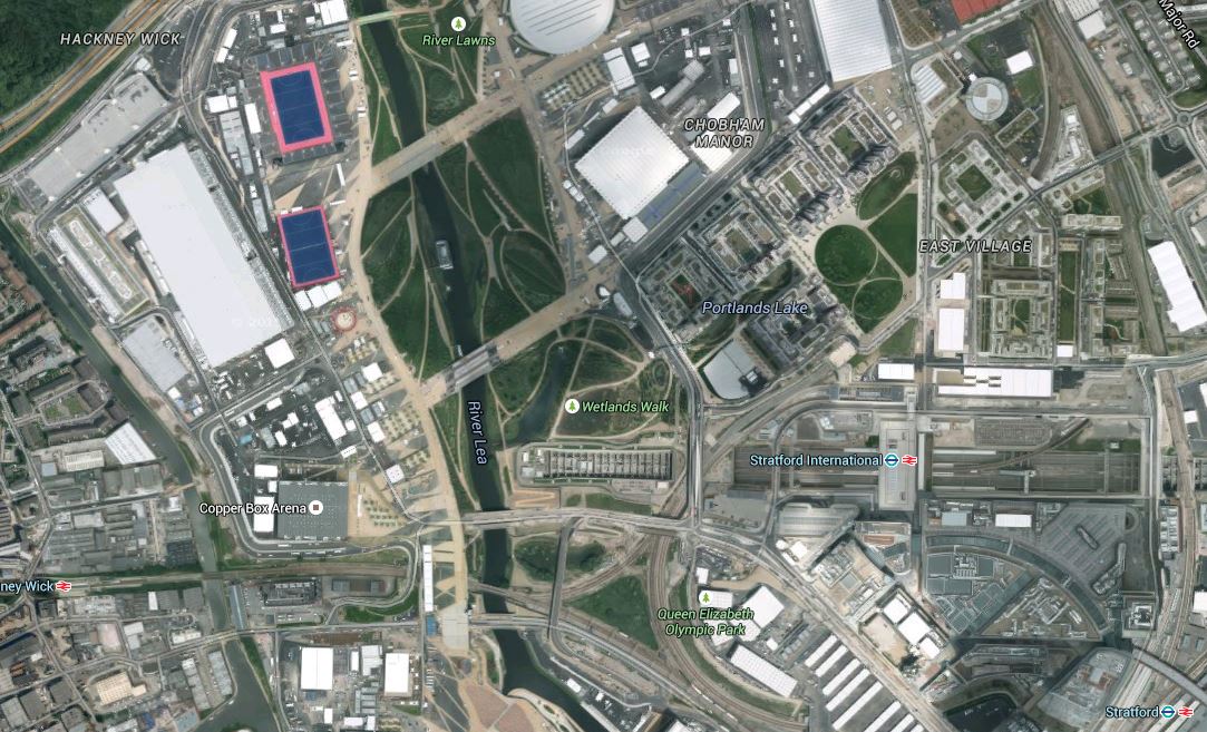
This is the High Meads Loop and it is generally used to move freight trains. You can see it on this Google Earth image, as it curls round the western side of Stratford International station, starting from the triangular junction to the east of Hackney Wick station and the River Lea and eventually joining the Lea Valley Line between Stratford and the under-construction Lea Bridge station.
High Meads Loop
I walked around the area today starting from Stratford International DLR station and much of it is hidden under concrete in East Village.
What has always surprised me, is that this line doesn’t appear to have provision for a station, especially as it could connect to so many important places in the area.
But then it does seem to me that the design of the rail system in the area of the Olympic Park and Village didn’t put getting an efficient railway first. These questions must be answered.
1. Why was a fully-functional International station, built at Stratford International and has then never been used to run services to the Continent through the Channel Tunnel? This is answered partially in this section in Wikipedia about International services at the station. If Kent gets two stations at Ebbsfleet and Ashford International, then surely East London and Essex deserves one too!
2. Why too, is the link between the two Stratford stations, so much of an afterthought? Today, when I came back from my walk, there was the inevitable lost soul, who’d taken a train to Stratford International and needed to get a train to Romford. And his Narional Rail ticket wasn’t valid for the one-stop hop on the Docklands Light Railway. But this is East London and the Train Captain told him to ride Don’t get me wrong, I like the DLR, but surely for the Olympics we could have put a more spectacular or at least a better link between the two stations?
3. In some ways too, I often think that they used the high-speed service from St. Pancras to Stratford, just to give it something to do. For a start foreign day-trippers to the Olympics should have come straight into Stratford International on Eurostar. Why wasn’t this arranged?
4. I am pretty local to the Olympic Park and can get a train from Dalston Kingsland to Stratford. I went to the Olympic Park that way a couple of times, but to get home, the powers-that-be either sent you to Stratford International or West Ham. In one instance I walked to Clapton and got a bus home as everything was congested. The arrangements might have worked for getting to Central London, but they weren’t good for locals, who like me wanted to walk out of the Olympic Park and then probably get a bus home. One solution would have been to put more capacity on the North London Line, by extending the Class 378 trains to five cars, as is now being done. Why wasn’t this done on the North London Line in time for the Olympics? Especially, as the line has always been overcrowded compared to the East London Line.
5. Soon after the Olympics, I met a big cheese in the Docklands Light Railway on a train. He felt and I probably will agree with him, that the DLR overperformed in the Olympics and dear old Cinderella didn’t miss a beat. I suspect though that to many she has more than a touch of Minnie Mouse, but to East Londoners and knowledgeable visitors, she is the way to travel, where you get a grandstand view much of the time. So why wasn’t more use made of the DLR for the Olympics by designing it into the heart of the Olympic Park?
6. We also had the farce of if you went to the Olympics from St. Pancras, you had to go through the Eastfield shopping centre to get into the Olympic Park. Why? Was the Olympics about sport or shopping?
7. Look at this Google Earth image of the Eastfield shopping centre.
Eastfield
Notice how the DLR goes under the centre and emerges on the west side before curving round to get to the station at Stratford International. It has always puzzled me that no provision has been made for an extra station on this loop. It strikes me that the developers feel most shoppers will bring their cars or not buy anything heavy. I would use the centre more if it was easier to get home from say John Lewis with perhaps something weighing ten or twenty kilos. Why was this extension of the DLR designed to be never more than a timid link?
If I look at some of the rail designs of the last few years, I get the impression, that they are less timid and not designed to be easiest to construct. The London Overground in particular has been innovative in some of its infrastructure to design affordable and efficient railways. Look at the Clapham Kiss as just one example.
In any developments to improve Stratford, there is also a thundering herd of elephants in the room, which will probably have more effect on what happens than any politician.
And that is Crossrail!
What is planned now is only Phase 1 of Crossrail and future developments will give Crossrail a bigger share of London’s passengers and even more influence.
1. Crossrail has been designed to take slightly longer trains and with its massively long platforms, the capacity of the system is quite a bit bigger than what we’ll see when the line opens.
2. Crossrail can also take more trains through the core, so we’ll definitely see extra branches on the line. Ebbsfleet on HS1 is safeguarded and Tring on the West Coast Main Line is being seriously studied.
3. Crossrail lacks an easy and hopefully cross-platform interchange to high speed services to Europe and in the future to the North. An easy interchange to HS1 at St. Pancras and Stratford is impossible, but one at Ebbsfleet could be incorporated with the extension of Crossrail to the station.
So what do I think should be done to sort out the sins of the pre-Olympic rail system development in the Stratford area?
1. A Better Connection Between The Two Stratford Stations And To The Eastfield Shopping Centre.
Look at this Google Earth image of Stratford station.
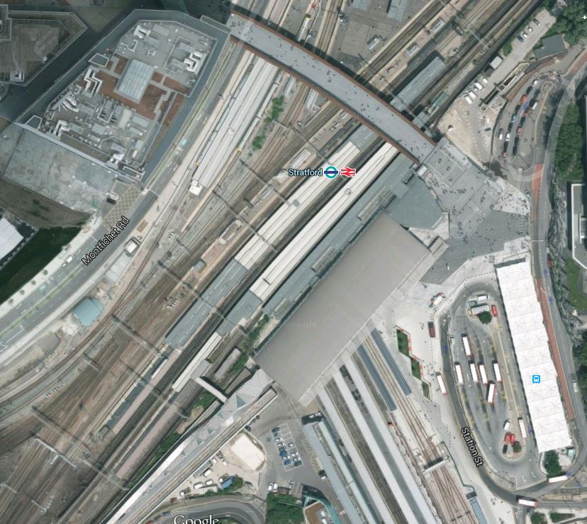
Stratford Layout
The DLR branch between Stratford International and the core system passes underneath the rail lines, including Crossrail and the Overground , and the Central Line, at right angles.
The passenger connection between the DLR and the lines passing through above is not easy, although it is step-free. If you take the wrong tunnel from the rail lines, you end up on the wrong DLR platform.
As the two subways are one each side of the DLR lines, couldn’t something better be done to make this interchange easier? For a start how about a sign saying take these stairs from the through platform to get your DLR service to Stratford International?
I also think that there should have been a station on the DLR line underneath Eastfield. It would be interesting to know what the shopping centre thinks.
2. Will We Ever See International Services From The Station That Has The Word In Its Name?
If Crossrail extends to Ebbsfleet, this will take a big chunk out of High Speed passengers to Stratford and St. Pancras. If say you lived in East Kent and worked in the City or the West End of London, why would you not take a convenient service, High Speed or otherwise, to Ebbsfleet and then change to Crossrail for where you actually needed to go?
Stratford International also lacks an easy link to all of the other services at Stratford and especially to Crossrail, even if the DLR link is improved. But any cross-platform link is impossible!
Passengers will get increasingly fed up with second-rate stations, when they see some of the modern ones that work, like Reading and Kings Cross. St. Pancras may look spectacular, but it is A Fur Coat And No Knickers Station
So Stratford International, which I find an unwelcoming place, could become a massive white elephant, that had its brief moment of fame at the Olympics.
3. The Moans In North East London
Read the various Internet forums and web pages and some of the biggest complaints are about the poor transport links to and from places in North East London and the Lea Valley, like Walthamstow, Leyton and Tottenham.
Things are improving,
The transfer of the Lea Valley Lines to an operator who cares about passengers in London and the uprating of the Victoria Line later this year, can’t be anything but positive.
But more could be done!
4. A Shoreditch High Street Station On The Central Line?
After Crossrail has bedded in, will we finally see a connection between the Central Line and the East London Line at Shoreditch High Street? I think we will as because Crossrail is an effective by-pass for the Central Line from Stratford to Liverpool Street, the Central Line could probably be shut for several months under Shoreditch High Street, whilst the link is created without causing too much inconvenience to passengers, except for those using Bethnal Green. But even those would have the new Whitechapel Crossrail station a couple of bus stops away
5. Extending the DLR to Tottenham Hale
This was mooted a few years ago and a document called DLR Horizon 2020 talked about extending the system from Stratford International up alongside the Lea Valley Lines to Tottenham Hale station. This article on London Reconnections describes the proposal like this.
Extend the DLR from Stratford International to Tottenham Hale via the Lea Valley. The route would run alongside the current Lea Valley rail lines where possible and the line would serve the Olympic site and feature additional stops at Lea Bridge and Walthamstow Marshes.
It may be a worthy idea, but does it really make economic sense, when according to what you believe a lot of things may be happening in the area.
- A new Lea Bridge station and a new Hall Farm Curve are being created.
- A rebuilt Hackney Wick station is being planned.
- Crossrail 2 is being promoted and could serve the area.
- Transport for London will be taking their first bite out of the Lea Valley Lines in the very near future.
- There could be a a major upgrade in the Tottenham Hale area, which is described in this document on the Haringey Council web site.
- According to this Future section in Wikipedia for the Tottenham Hale station, funding is being sought to add extra tracks to the Lea Valley Line so that four trains per hour can be run on the line.
When the heavy rail expansion is sorted and the area between Tottenham and Walthamstow is developed as housing and a very large wetland and leisure area, the case for a Lea Valley Light Railway may be stronger.
6. Using The High Meads Loop For Passengers
Trains can use the High Meads Loop to pass across the northern side of Stratford Intergenerational station. This Google Earth image of the station, shows the lines passing round the North-Western corner.
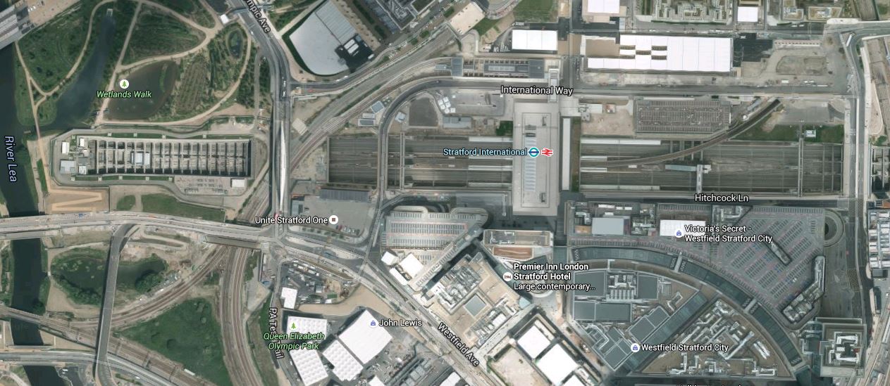
Stratford International Station
Note also the Docklands Light Railway station on the northern side of the deep station box, virtually above the DLR logo.
I think with a will a station could be built on the High Meads Loop just to the north of the DLR station, which would allow trains to travel between the North London Line and the Lea Valley Line calling at a station close to the International station and possibly a station in the East Village.
But as with extending the DLR from Stratford International would it all be worthwhile?
Unless of course some developer wants to do a mega-development and pays for the trains and the infrastructure.
7. Conclusion
I think we should leave well enough alone and accept that Stratford International station is probably a shining white elephant.
In the meantime, we should make it easier to transfer between one station too many at Stratford.
The High Meads Loop is probably best left to sort out the freight that has to travel through the area until someone does the right thing and builds a proper freight line that avoids the North London and the Gospel Oak to Barking Lines.
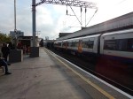
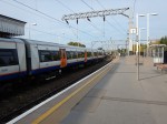
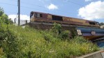
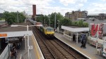
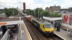
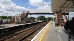
Five-Car Trains Are Running On The North London Line
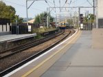
I took these pictures of a five-car Class 378 trains on the North London Line today.
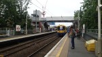
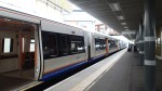
Although five-car trains seemed to be slow to appear, Bombardier seem to have got the cut and shut process working pretty fast now.
The Dreadful Change At Willesden Junction
No sane person with movement issues, like a wheelchair, a baby in a buggy,a heavy parcel or just plain old age, would change between the North London Line and the Watford DC or Bakerloo Lines at Willesden Junction.
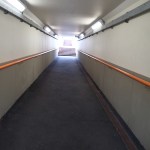
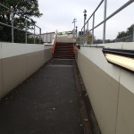


As a lot of the walkways are uncovered, you certainly wouldn’t do it in the rain.
Train/Platform Gaps At Willesden Junction
Willesden Junction’s Westbound North London Line platform has some of the worst train/platform gaps on the Overground.

Train/Platform Gaps At Willesden Junction
The reason is probably that the platform is on a curve here as this Google Map shows.

The platform is the rightmost in the picture. Here’s a close-up of the platform.

The Curved Platform At Willesden Junction
As can be seen, there is quite a curve. Unfortunately, trains tend to have straight sides!
