Small-Scale Connectivity To Crossrail
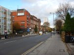
I live about twenty-five minutes from my nearest Crossrail station at Moorgate on a 141 bus and as I walked around today, I just wondered what will be the best way to access London’s new East-West rail line when it opens in a few years time.
So what do I mean by small-scale connectivity?
I think it is best defined as any method that isn’t more than perhaps ten stations on heavy rail, light rail, the Underground or trams.
And of course, you might substitute Thameslink for Crossrail! Or if you don’t live in London, it could be your major cross-city line.
So in my case, the following would be small-scale connectivity to Crossrail.
- Walking
- Cycling
- Car
- Taxi
- Bus
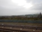
I do have a heavy rail link to Crossrail in the form of the East London Line between Dalston Junction and Whitechapel, so that will be included as it is only a short stretch of line of four stations.
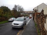
These are the methods available to me in Dalston.
Walking
For good connectivity, the walking routes around a station should be properly mapped and signposted on a physical wayfinding system, like Legible London used all over the capital.
I also think it is essential that a common format is used, along a line.
So this probably means that London will decide how walking maps and signposts at Crossrail stations in Essex and Berkshire will look.
Will that be acceptable to towns and cities, that have called in consultants to design their ideal wayfinding system?
One problem with wayfinding systems, is that in some places the locals who know the city or area well, say they don’t need the system and think it a waste of money.
You also have the problem in areas with more than one local authority, that each go their own way, rather than agree on a common system.
Remember too, that London is so large, that the average resident finds themselves regularly in an area of the city they don’t know. So Londoners on the whole are very pro-Legible London.
I feel that we need to impose the same wayfinding system all over the UK.
Cycling
Just as there should be good walking routes to a station, the cycling routes should be obvious and well-signposted.
And if bikes are provided for hire at the station, the payment system must be compatible with London’s.
Perhaps we need a nationwide bike hire system?
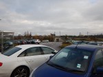
Car
Many people will want to drive to their local Crossrail station and park their car before they get the train.
i have a feeling that when Crossrail opens, the biggest complaint will be the lack of car parking at stations.
Taxi
For about the last three months, I’ve been suffering badly from plantar fasciitis and because of the limited mobility, it gives me at times, I now feel very strongly that every Crossrail station, should have a proper black taxi rank.
Recently Transport for London have announced that one of my local stations; Highbury and Islington, is going to have a taxi rank. I have yet to find a taxi driver who is against the idea and I believe this could be a winner for both passengers and black cab drivers.
Bus
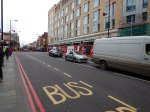
Every London rail and tube station is a bus hub with its own spider map, which details all of the buses and their routes from the area. This is my lovcal bus spider map for Dalston.
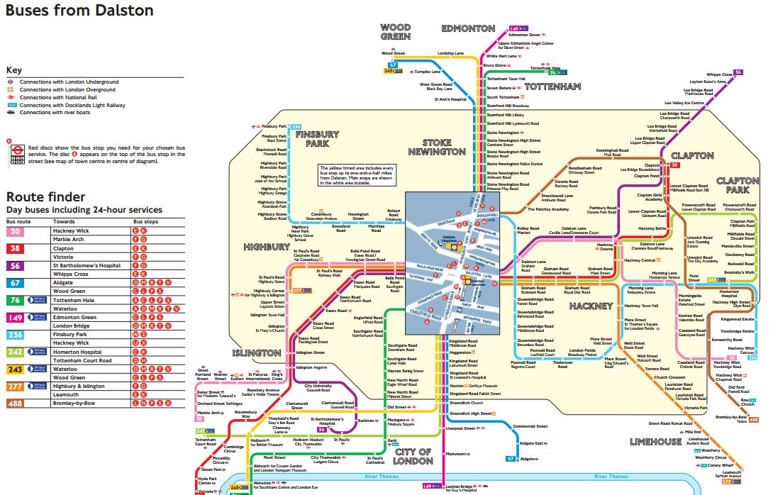
Dalston Bus Spider Map
Venture outside of London and in many places, bus mapping is often missing or very bad to give it the benefit of the doubt.
As with walking maps, local authorities outside of London with a Crossrail station, will have to adopt London’s system.
Other Rail Lines
Crossrail does connect to quite a number of heavy rail, Underground and Overground Lines.
- Bakerloo Line
- Central Line
- Circle Line
- District Line
- East London Line
- Great Eastern Main Line
- Great Western Main Line
- HS1 – After extension to Gravesend
- HS2 – After Old Oak Common
- Jubilee Line
- Metropolitan Line
- North Kent Line
- Northern Line
- Northern City Line
- North London Line
- Thameslink
- West Anglia Main Line
- West Coast Main Line – After extension to West Coast Main Line
- West London Line
I have included links to extensions to Gravesend and the West Coast Main Line and Old Oak Common in this list.
Small Branch Lines
But it also connects with several smaller branch lines or perhaps in the future, some tram and light rail lines.
- Abbey Line – After extension to West Coast Main Line
- Brentford Branch Line
- Croxley Rail Link – After extension to West Coast Main Line
- Greenford Branch Line
- Henley Branch Line
- Marlow Branch Line
- New North Main Line
- Reading to Basingstoke Line
- Romford to Upminster Line
- Shenfield to Southend Line
- Slough to Windsor and Eton Line
- Staines and West Drayton Railway
- Waterloo to Reading Line
I believe that Local Authorities will develop these smaller lines and create others to maximise their benefit from Crossrail,
A Metro In The East
The two lines that I think have the most likely chance of being developed, are the Romford to Upminster and Shenfield to Southend Lines.
- The main line rail company; c2c, is very ambitious.
- In the next couple of decades, South East Essex will be an important economic growth area.
- Better links are needed to Southend Airport and the London Gateway.
- There is substantial development of jobs, housing and leisure opportunities in the areas the lines serve.
- Give the people of Essex an opportunity and they embrace it fully.
I wouldn’t be surprised to see a substantial metro network created in the area, based on Billericay, Shenfield, Southend and Thurrock.
A Metro In The West
If a metro network can be successfully developed at the eastern end of Crossrail, is there the potential of creating something similar at the western end?
Consider.
- Heathrow dominates thinking in West London and feels that everybody should jump to its tune.
- Heathrow should wake up to the fact that it will never get a third runway, as London’s electorate will always vote to block this.
- There will always be a Heathrow, but in time, it will cease to dominate the air travel market in the UK, as it does now!
- Heathrow has very limited rail connections to Basingstoke, Reading and the West.
- If you look at the list of small branch lines, several are clustered around the western end of Crossrail, with its two hub stations of Slough and Reading.
A metro in the west could be developed based on hubs at Basingstoke, Heathrow, Slough and Reading. The Windsor Link Railway is surely thinking along those lines.
A Metro In The South East
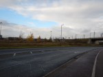
Of all the stations on Crossrail, Abbey Wood is one of the most disappointing.
As a terminus for Crossrail, that connects to the North Kent Line and to services to South East London and the Dartford area, four platforms doesn’t seem enough, when you compare the station to the other terminals of Reading and Shenfield.
Transport for London have proposed that the Gospel Oak to Barking Line could cross the river to serve Abbey Wood and if this should happen, there must be opportunities to create another metro system based on Abbey Wood.
A Metro In The North
There are proposals to extend Crossrail to Milton Keynes from Old Oak Common.
This would surely, bring in the possibility of a network of local lines based on Watford.
- The Abbey Line is one of those difficult-to-run lines, that needs substantial improvement.
- The Croxley Rail Link could be expanded to serve Amersham.
- Local services on the West Coast Main Line and the Watford DC Line are very crowded.
This will only be developed once Crossrail serves Watford.
Conclusion
Crossrail in 2030, will be an entirely different line to that being created today.
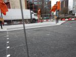
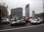
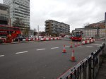
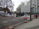
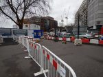
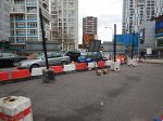
Changes At Highbury Corner
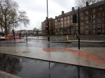
Transport for London have announced their plans to change the pedestrian, cycling and vehicle routes at Highbury Corner, which are detailed in this document on their web site, which is entitled Have your say on improvements to Highbury Corner for pedestrians and cyclists, and changes to bus services.
The document contains this map.
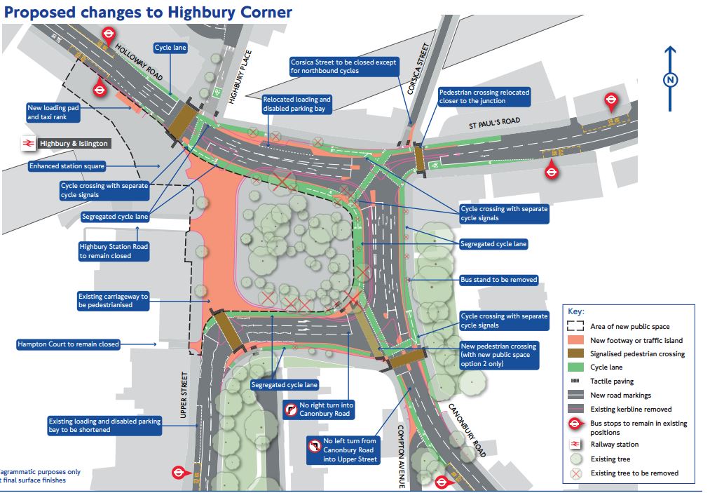
Highbury Corner Changes
The map is a good summary of the proposed changes.
- The western side of the roundabout is to be closed and become a pedestrian area.
- The roads around the roundabout will become two-way.
- The area in front of Highbury and Islington station and the Famous Cock public house will become a large pedestrian area.
- Pedestrian routes will be improved.
- There will be new cycling routes.
- There will be provision for a taxi rank by the station.
- The 277 bus route will be cut back to Dalston Junction and more buses will run on route 30.
- There will be a new N277 night bus.
They are also developing two options for the arboretum in the middle of the roundabout.
- Option 1 would keep it closed off from the hoi polloi.
- Option 2 would open it up to create a pleasant walking route to the station.
The first option would see nineteen trees felled and the second twenty-three.
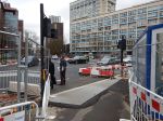
My Problems With The Current Layout
I try to avoid using Highbury Corner as much as possible, despite it being an easy bus ride on a 30 or 277 bus from the stop behind my house.
The reasons are as follows.
- Highbury and Islington station needs a makeover with a wrecking ball. It has no lifts to the Victoria and Northern City Line platforms and at certain times of the year, my feet aren’t up to the stations long and dreary passages.
- To get to the station from the bus stop, you have to walk along a narrow pavement and cross a busy road on a light-controlled crossing at both ends of the walk. To make matters worse, there are two roads, which are used by drivers as rat runs and then there are bikes chained up blocking the pavement.
- Coming home is only one road crossing, but the bus stop is exposed and can be a bleak and polluted place to wait.
- If I’m coming home with heavy shopping, it’s impossible to get a taxi.
- The bus stops are not well-placed if you arrive at the station and want to go South to the Angel.
- Some of the pavements are rather narrow and crowded.
At least when I’m coming home, I can take the North London Line to Dalston Junction station and then get a bus from outside the station.
So how does the new layout affect my points.
1. Highbury And Islington Station
This isn’t covered in the current plans and I hope when TfL get round to sorting the station, they do a good job. I would like to see the following.
- Full step-free access.
- A second entrance in the 1904 entrance on the other side of Holloway Road
- Better laid out walking routes to the Emirates Stadium.
- A decent iconic building on the top of the station.
In Could We Create A Second Entrance To The Overground At Highbury And Islington Station, I proposed an a second entrance at the other end of the Overground plstforms.
It’s probably not feasible, but the station has potential for being a lot better.
2. Walking Between The Station And The Bus Stops On St. Paul’s Road
The walking route is improved a bit.
- Moving the crossing on St. Paul’s Road to the west is good.
- The wider pavement in froint of Marie Curie will help.
- The closure of Corsica Street is good.
- I would like to see more of a closure of Highbury Place.
But the walking route is improved a lot, if Option 2 for the arboretum is implemented.
- It would be much more pleasant and sheltered to walk through the trees.
- I like the option to walk from the St. Paul’s Road stop, to catch a 271 bus to go towards Archway at Stop H.
It will of course seem to be longer.
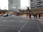
3. The Eastbound Stop On St. Paul’s Road
There is very little that can be done to improve Stop C, unless it was moved nearer the roundabout and placed on a wider pavement.
It is a stop that gets loaded up with fast food litter and needs a Big Belly.
4. Taxis
I like the provision of a taxi rank, in front of the station.
5. Buses To The Angel
The bus stops seem better positioned.
If possible I would like to see Stops F and G as near to the station as possible, with Stop G on a wider pavement.
Stop G is probably a better option now to go South, as the bus routes 4, 19 and 30 have joined and it should be easier to cross the traffic.
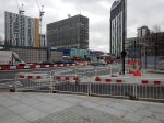
6. Narrow And Crowded Pavements
The places that I don’t like are.
- From the Barclays Bank to Bus Stop C along the North side of the roundabout.
- From the station to Bus Stop G.
- From the station to Bus Stop F.
The first and third will be improved if drivers don’t rush into and out of side roads.
The second may be improved by the better crossing at the roundabout.
But I do feel that bus stops C and G need to be on wider pavements.
These are my comments on other parts of the proposals.
Traffic Routes
As I don’t drive, any more, I won’t comment, other than to say, that if drivers obey the signals, pedestrians will be happy.
Closure Of The Western Side Of The Roundabout
I’m very much in favour, as all stations should welcome you to an area. A pedestrian space half the size of a football pitch does that!
Improved Pedestrian Crossings
No problem! I don’t like double crossings, as I’m getting a bit slow.
Legible London Signage
I have a gammy left hand and use the signs and liths a lot, as I find them easier to use than a book of maps or a smart-phone,
New Cycling Facilities
My days of cycling in areas like Highbury Corner are long gone. So long as cyclists obey the rules and don’t knock me over on the pavement, I’ll leave them alone.
Changes To Trees
A proportion of London’s trees are suffering because of pollution and some others are inappropriate for today’s climate.
All I ask, is that a sensible approach is taken, that in a few years means that Highbury Corner is held up, as the correct way to manage an urban space.
Some people get far too emnotional about trees, when a hard-nosed practical approach can often lead to more trees being planted.
I should also say, that I used to own and live in a property surrounded by beautiful trees, many of which were hundreds of years old.
Over a period of about ten years, I lost about twenty specimen elm trees to Dutch Elm Disease and then the Great Storm of 1987 blew half the rest of my wonderful trees away overnight.
Bus Service Changes
I’m broadly in favour and providing that the extra buses are added to route 30 to make up for the loss of route 277 between Dalston Junction andv Highbury and Islington, I won’t bother too much.
I sometimes feel that there might be scope for a bus to go on a route something like this.
- Shoreditch
- Dalston Junction
- Highbury and Islington
- Holloway Road
- Archway
But I think I’m just being selfish!
Options For A New Public Space
As I want to walk through the arboretum, when I take a bus to Highbury and Islington station, I’m totally in favour of Option 2.
Drop-In Sessions
TfL will be holding three events at which you can view the proposals in detail and speak to representatives of TfL and Islington Council.
Union Chapel, Compton Terrace, London N1 2UN
- Wednesday, 24 February 15:00 – 19:00
- Saturday, 27 February 09:30 – 13:30
- Monday, 29 February 10:00 – 14:00
Conclusion
It’s a good start and I wouldn’t be surprised if the final scheme was better.
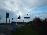
My Least Favourite Roundabout Gets Pedestrian Lights
When you go to Birmingham City to watch a match from Bordesley station, you take your life in your hands to cross the road. I reported the bad roundabout in A Pedestrian Crossing From Hell.
But look what’s happening!
My Least Favourite Roundabout Gets Pedestrian Lights
Hopefully, the lights will be working before someone gets killed.
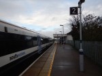
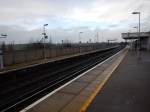
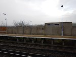
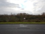
So Near And Yet So Far!
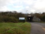
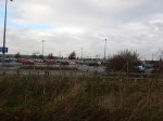
This Google Map shows the geographical relationship between Northfleet station on the North Kent Line and Ebbsfleet International station on the High Speed 1 Rail Link.
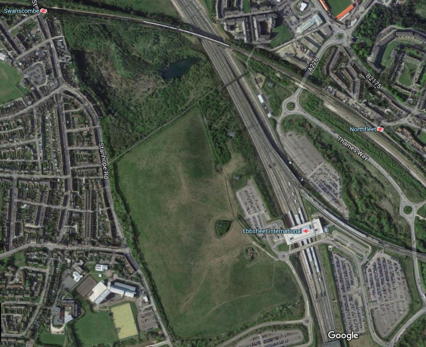
Northfleet And Ebbsfleet International Stations
Note Swancombe station at the top left, which is also on the North Kent Line.
In my view the designers of High Speed 1, lost sight of the ball here, just as they did at Stratford International station.
To many people and especially to a lot of rail commentators and builders, connectivity is very important, as it often gives passengers the ability to do difficult journeys easily with a simple cross-platform interchange.
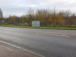
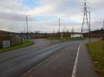
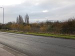
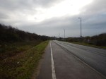
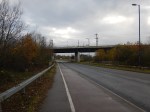
If you look at the positions of Northfleet and Ebbsfleet International stations, as the crow flies it is about four hundred metres. But to walk it along the A226, Thames Way and a loop into Ebbsfleet International station took me thirty-eight minutes.
I took these pictures as I walked.

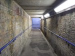
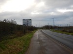

I am left with the following conclusions.
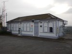
- Northfleet station appears to only stand up because the woodworm keep holding hands.
- Northfleet station is very welcoming to visitors to the town!
- The current route is a badly-signposted disgrace.
- I didn’t see any signposts pointing the other way.
- It would be a nightmare in bad weather.
- It is a step-free route.
It would not be the most difficult feat of engineering to build a walkway from Northfleet station to the Car Park C on the Northfleet side of Ebbsfleet International station.
Incidentally, the Ebbsfleet International station web site says this about getting to the station by rail.
If you can’t reach us direct then we’re just a 10 minute walk from Northfleet domestic station which is serviced by the North Kent Line.
For my age and health, I can walk reasonably fast, but it took me over three times as long. Did they hire Mo Farah to do the time test?
I think someone measured it on a map as four hundred metres and said that he or she could walk it in ten minutes.
If they did, it is downright incompetence.
I challenge Eurostar to find anybody over sixty-five, who doesn’t have form as an athlete, to walk the signposted route in ten minutes!
If they find someone, who can do it, I’ll give fifty pounds to Railway Children!
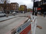
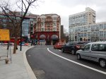
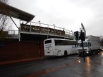
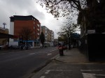
Walthamstow Village Has All Changed
These pictures show the implementation of the mini Holland in Walthamstow Village.

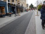


I like it! I wondr if these protestors have mellowed?
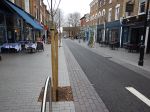
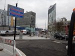
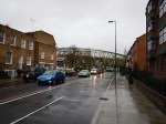
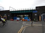
Narrow Pavements In Dalston
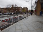
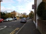
I’m not a lover of this development in Kingsland High Street, but now that it is nearing completion, one problem stands out!


The pavements are so very narrow.
Will two double-buggy pushers be able to pass?
Fun At The Elephant And Castle
When I was driving, I used to find the Elephant and Castle roundabout confusing, especially as being a North Londoner, you don’t cross the Great Sewer unless you’re accompanied by a posse. (Make sure, they’re not Ipswich supporters, as they get lost at Liverpool Street!)
The Underground Station
In some ways Elephant and Castle tube station can be confusing and is almost two separate stations connected by long, dark tunnels under the roundabout.
- The Northern entrance is directly over the Bakerloo Line platforms
- The Southern entrance seems to give better access to the Northern Line platforms.
There are no escalators, but the Southern entrance is likely to be rebuilt. Wikipedia says this.
A major upgrade is being planned by Transport for London to bring improvements to the station; these include a new Northern line ticket hall, three new escalators and additional lifts to provide step-free access to the Northern line platforms. This will be done in conjunction with the major transformation in the Elephant & Castle area to create thousands of new homes and potential for new retail development to provide growth potential in the area.
That would be a great improvement.
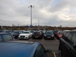
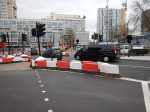
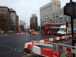
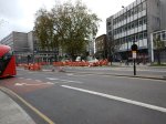
The New Road Layout
Things look like they’re going to get a lot more fun for drivers at the Elephant and Castle judging by this traffic scheme that will start on Sunday.
This Tfl web page shows the scheme and this TfL map shows the final layout.
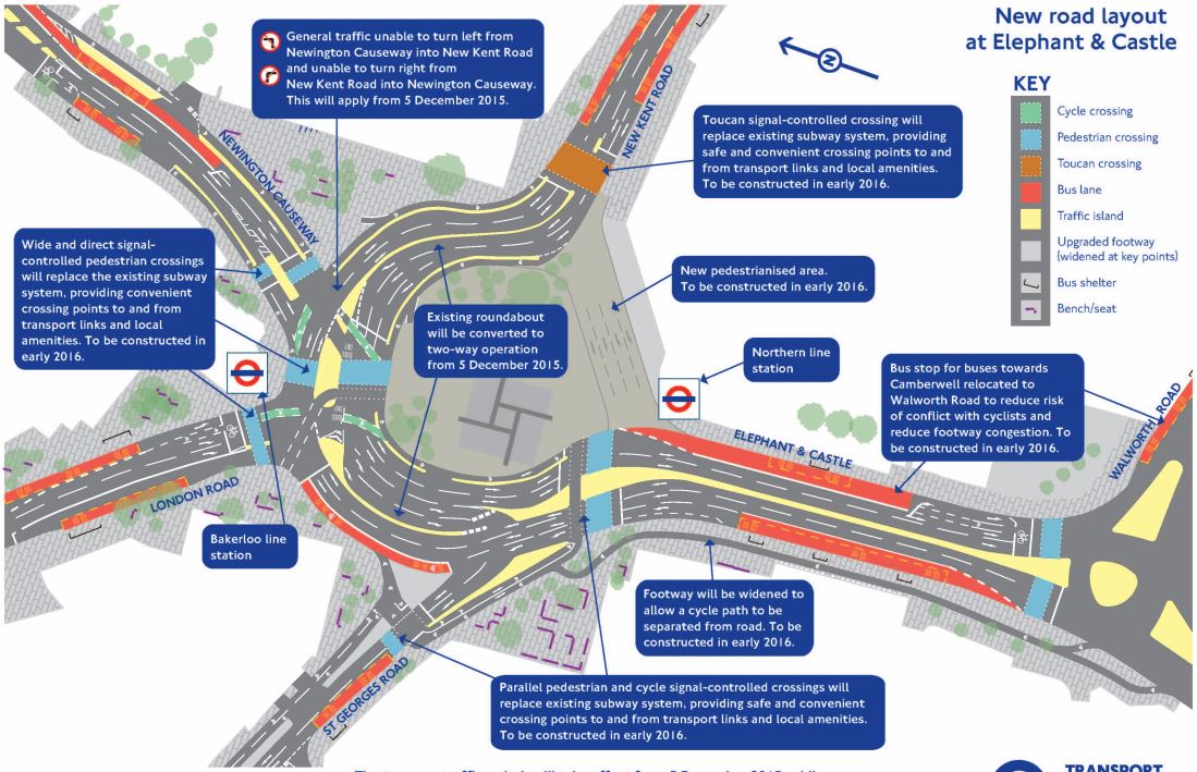
Elephant And Castle Roundabout
It’s even got its own web-site.
For comparison, this is a Google Map of the area before any roadworks.
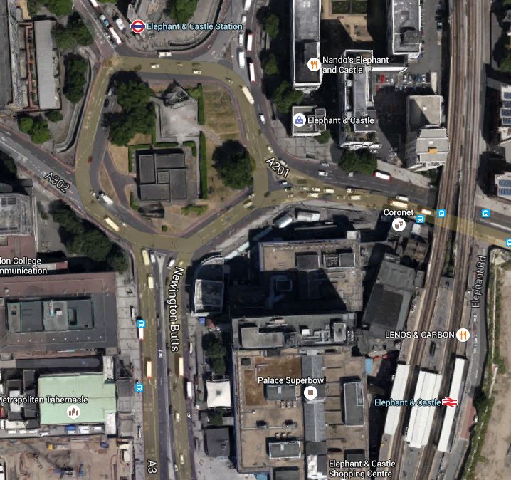
Elephant And Castle Northern Roundabout
Note.
- The drawing of the new scheme has North to the left.
- The Bakerloo Line entrance is on the North Side of the old roundabout, with the Northern Line entrance at the South
- A quick look could say that the road space will be wider, but shorter after reconstruction.
It could well be a lot easier for pedestrians like me!
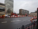
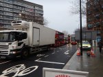
December 3rd, 2015
These are pictures taken on Thursday the third.


The traffic seemed pretty dense even at ten in the morning.
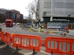
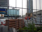
December 5th, 2015
These pictures were taken about the same time on Sunday the 5th.


Note that I walked a similar route on the third.
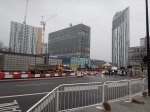
The Pedestrian Routes Are Emerging
The main difference between the two sets of pictures, is that on the North, West and East sides of the roundabout, traffic is now two-bay with a traffic island between the two carriageways.
The South side is no longer used for traffic and will be pedestrianised early in 2016.
It is now possible to see how when the scheme is complete, that the centre of the old roundabout will be joined to the South Side. This will mean that to walk from the Northern Line station to the Bakerloo line station, will require only one road crossing at the North Side of the old roundabout.
I have some questions.
- Will the middle be landscaped? Obviously!
- Will there be a cafe in the middle? Hopefully?
- Will the preferred route to the Bakerloo Line trains from the surface, always be to enter the Bakerloo Line entrance and then descend in the lifts there, which take you directly to the platforms? It might be a shorter and more pleasant walk, than a long one in a tunnel!
After my visit today, I think I can see a purpose to the new design.
December 7th, 2015
This was the first working day at the same time as the previous sets of pictures.


I did see a picture, which showed a cafe and I think that if they can do the same at Old Street, which seems to be the next roundabout removal I’ll be pleased.
Although there is this article on the BBC, which is entitled Elephant and Castle: Two-way traffic redesign causes chaos. This is said.
The removal of the Elephant and Castle roundabout has been causing chaos for commuters, with motorists complaining of queues of more than an hour.
But then good news doesn’t draw viewers to the web site.
I’ll come back and watch this one in the future.
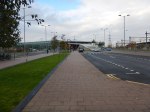
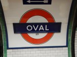
Walking The Cycle Superhighway CS5 From Oval Station To Pimlico
The pictures tell the story, as I walked from Oval tube station to Pimlico along Cycle Superhighway CS5


This is the official Transport for London map for CS5.
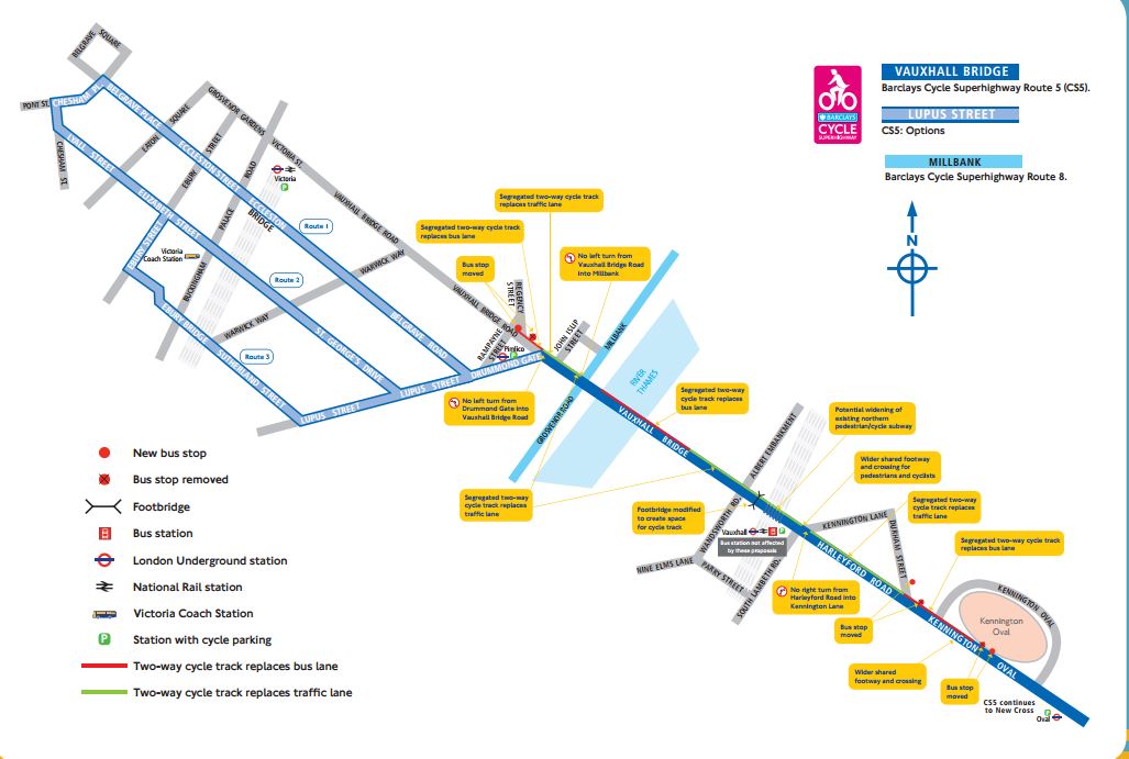
Cycle Superhighway CS5
This is a Google Map from Oval Station To Pimlico

From Oval Station To Pimlico
Some of my thoughts.
- The route is an easy one to cycle, as it is virtually flat.
- I was impressed with the way that the designers of the Cycle Superhighway had threaded it through the area, with good attention to bus stops, traffic signals and signage.
- Before I walked towards Pimlico, I had a quick walk in the direction of Kennington and checked out the other cycle routes being constructed. The walking routes were good.
- I particularly liked the bike rental station in the dry in a railway arch. How many people like getting on a wet saddle? The Brownlees perhaps!
- The route was also an easy one to walk, as the designers had catered for walkers in the design.
- The builders had done an excellent job in making all the surfaces good for cyclists and walking.
- I was a bit surprised on how fast I was walking.
- I did feel though, that at times, there was a very crowded line of traffic alongside an almost empty cycle lane. The Jeremy Clarksons of this world might say something.
If all the Superhighways are designed and built to this standard, they will be a big asset to London.
I think in areas, where people are objecting to their imposition, they may actually win a few friends.
It’s a long time, since I was the parent of a young child and even longer since I used to cycle about four miles to school in the midst of the traffic.
But I would have no worries about my thirteen-year-old granddaughter cycling on a track like I saw today.
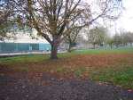
Walking From De Beauvoir Town To London Fields
This walk follows the route that I traced in Cycling Across De Beauvoir Town.
I’ll show the Google Map from that post
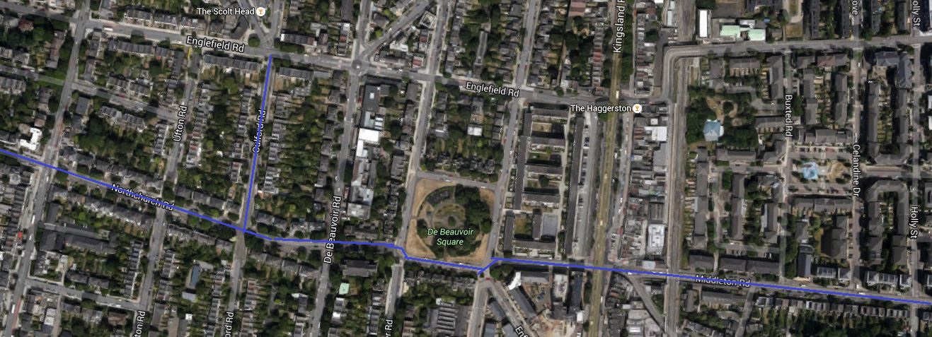
Cycling Across De Beauvoir Town
The route, which I started on Southgate Road is traced by the blue line. I continued up Middleton Road to London Fields.
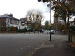
These are pictures I took on the way.


It is an absolutely flat route, except for the dip under the railway. This will surely encourage people to walk and cycle along it.
Walking From Haggerston Station To Mare Street
I did this walk as the area from East of Haggerston Road through London Fields is going to be traffic calmed, as described in this page on the Hackney Council website.
This report in the Hackney Citizen is entitled London Fields residents clash over car-cutting measures. This is said.
Residents are at loggerheads over council proposals for a car-free zone to the west of London Fields.
During the three-month trial period, due to begin in January, Middleton Road and surrounding streets will be blocked off to motorists, allowing cyclists and pedestrians to travel freely down Middleton Road.
Residents will still be permitted motor access to all streets.
Nothing is as difficult as getting the correct mix of traffic. They also provided this map.

Car-Free Route Through London Fields
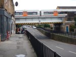
So I took a lot of pictures as I walked.


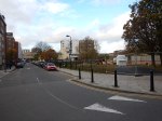
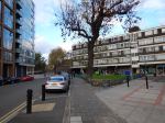


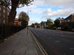


My observations.
- It was a charming walk, through fairly wide streets with lots of trees. Hackney is no crime-ridden wasteland!
- There was no sign of any traffic calming.
- The area has a high level of cycling. I suppose being flat helps.
- There were a few cases of traffic rushing about.
- Stonebridge Gardens is being upgraded with a new design.
I remember the area from the 1970s, when C ran a short life house for ex-prisoners, just off Mare Street. You could say the area has improved, without too much drastic change. This Google Map shows the area, where I walked.

Haggerston To London Fields
Haggerston station is on the East London Line at the West (left) and London Fields station on the Lea Valley Line is to the right of the green space that is London Fields, with its fifty metre heated outdoor pool. Mare Street is the A107 running down the map to the right of the railway.
I live just a few hundred metres from the top left corner of the map.
It will be interesting to repeat this walk, when the traffic calming is complete and they’ve finished painting the bridge.
