UK Among Tri-Axle Zero-Emission Wrightbus StreetDeck Prospects
The title of this post, is the same as that of this article on routeone.
This is the sub-heading.
Orders for new product ‘already lined up’ in Europe and the Far East, the manufacturer has said
These are the first two paragraphs.
Wrightbus sees UK sales opportunity for its new tri-axle zero-emission StreetDeck double-deck bus platform in addition to core Far Eastern markets for that class of vehicle, it says.
That was noted by CEO Jean-Marc Gales (pictured) when debuting prototype examples of the 6×2 bus that it says are “simultaneously” coming off production lines in Northern Ireland and Malaysia. The manufacturer adds that orders are “already lined up” for the product in Europe and the Far East.
I seem to remember that London’s electric trolleybuses used to have three axles.
So I asked Google AI if London’s trolleybuses did have three axles and got this reply.
Yes, London’s trolleybuses were predominantly three-axle vehicles. To accommodate their length and the power of their electric motors, most London trolleybuses, designed to replace trams, were built with three axles. This design allowed them to be larger and carry more passengers, similar to the trams they replaced.
So my memory was correct.
Where I live in De Beauvoir Town, the main North-South bus route is the 141 between London Bridge and Palmers Green.
- They are ten-year-old diesel hybrid buses.
- The route is busy and the buses are far too small.
- During my childhood, the route was the 641 trolleybus, which I used regularly.
- Southgate Road, where the trolleybuses ran is wider than most roads in London.
It would be ironic, if our inadequate 141 buses were to be replaced by new three-axle buses following some of the design rules of trolleybuses.
Is A Three-Axle Bus Better At Climbing Hills Than A Two-Axle?
In the UK, Bradford, Brighton and Sheffield are cities with hills.
If a three-axle bus is better at climbing hills, then this could be a big selling point.
The Chinese Won’t Be Pleased
This is said in the article.
The manufacturer adds that orders are “already lined up” for the product in Europe and the Far East
The Chinese won’t like Wrightbus stealing their markets.
The Story Of An O-Ring
I have a very unusual skin, as is partly shown by these pictures.


Note.
- There is a scar on the back of my left hand, where I cut it on the glass bathroom door in my bedroom.
- But with skillful gluing at the Royal London hospital and TLC and stern words from the practice nurse at my GP’s it healed perfectly.
- If I give blood samples or have an injection, I don’t need a plaster.
- My left foot is a deeper shade of red to the right. No-one has given me a reason for this.
- My previous now-retired GP, always took his own blood samples, when he needed them and had smiles all over his face. Perhaps, he was proving to himself, that it was happening?
- I wrote about my skin before in My Strange Skin, in 2020.
- One therapist said unusually for someone, who had a left-sided stroke, that my left leg is the stronger.
As my ancestry is part-Jewish and part-Huguenot could it just be that only the strongest genes survived from their poor living conditions my ancestors endured in the seventeenth and eighteenth centuries?
My Cardiologist And His Wife, Have Suggested I Use An Emollient In My Bath
I am now adding Oilatum Emollient to my bath water, which I get delivered by Ocado.
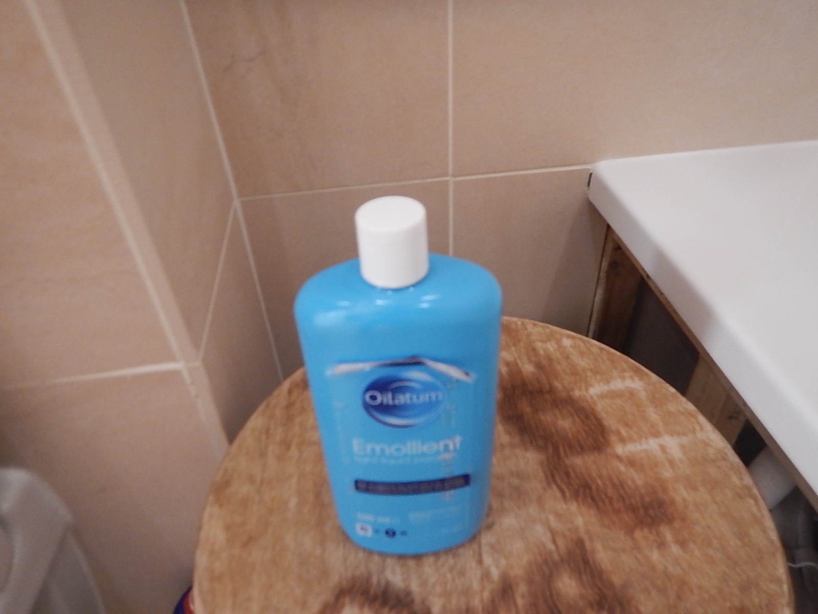
It is not cheap, but my feet are now more made for walking.
I put three cap-fulls in a bath and lie in it for about 10-20 minutes.
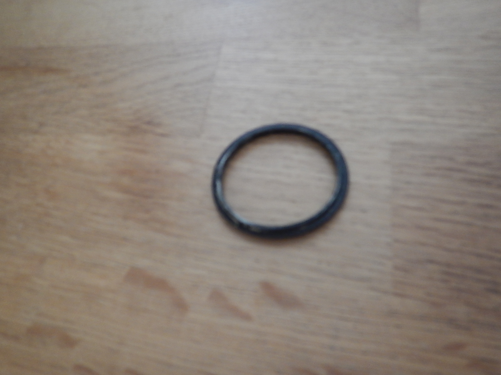
An O-Ring Failure On Bad Friday
A rubber O-ring sitting in a groove on the plug, should keep the water in the bath, but as this picture shows the O-ring had seen better days.
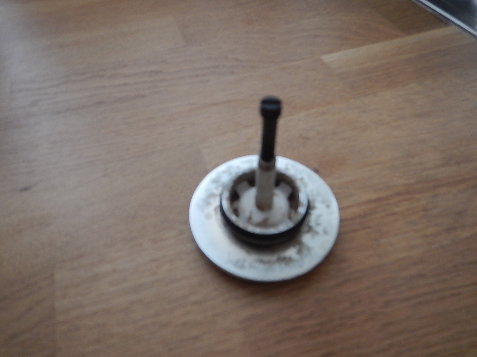
The picture of the new O-ring shows how it should look on the plug.
On Bad Friday, the O-ring finally gave up and any water put in the bath, went straight down the drain.
A Fruitless Bad Friday
Internet searches proved fruitless in my search for a shop that was open on Bad Friday.
So I vowed to try again today.
Searching For cp Hart At Waterloo
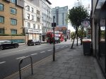
cp Hart, from whom I bought the original bath, appeared to be open at Waterloo, so after breakfast on Moorgate, I made my way to look for the branch of cp Hart at Waterloo.


Note.
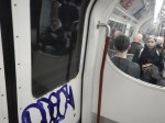
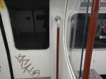
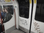
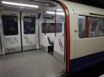
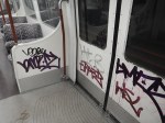
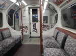
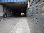
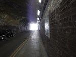
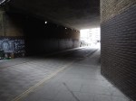
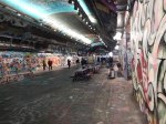
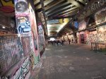
- Why does South London and its trains have to be covered in graffiti?
- Most of it, is not even good graffiti.
- In my view, the Bakerloo Line should not get new trains, until the graffiti has stopped.
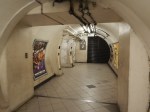
- I wandered round Waterloo for about ninety minutes before I found cp Hart, with the help of two police constables.
- And when I finally found cp Hart, they didn’t do spares.
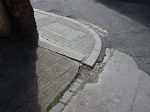
- I tripped over the uneven pavement in the last picture. But as I usually do, I retained my balance and didn’t fall. Is that all the B12 I take for coeliac disease?
My mother always used to say, that you shouldn’t go to South London without a posse.
Eventually, I had a coffee in Costa and took the 76 bus home.
Success At Last!
To get home on a 76 bus, I have to change in De Beauvoir Town and whilst I waited for the 141 bus to take me home, I checked out the local builders merchants.
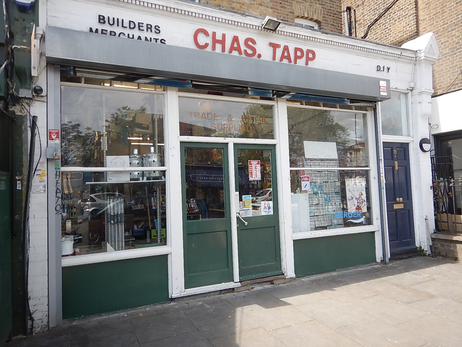
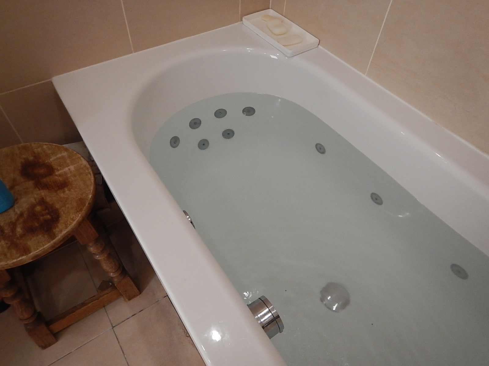
The owner was his usual self and fitted my plug with a free new O-ring.
I was now able to have a bath.
And watch the snooker.
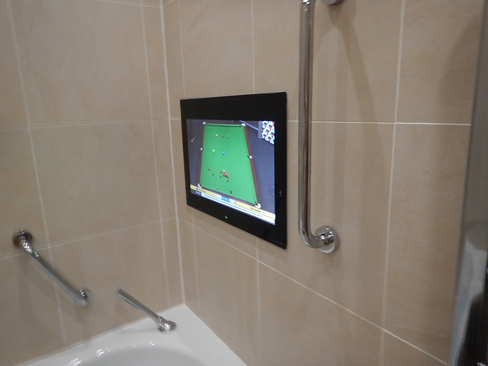
I can certainly recommend a television in your bathroom.
Note the vertical handrail, that allows me to step easily in and out of the bath.
When Silvertown Opens, Blackwall Tolls Start Too
The title of this post, is the same as that of this article on the BBC.
This is the sub-heading.
In under a month, tolls will be introduced for drivers at the new Silvertown Tunnel and the existing Blackwall Tunnel in east London.
These four paragraphs add detail to the story.
For car drivers it will cost £8 a day in peak. These are huge changes to London’s transport network and awareness seems to be low.
The new highly controversial Silvertown Tunnel opens on 7 April.
Critics have dubbed the crossing a huge polluting white elephant that will do nothing to cut congestion and pollution with little or no business case.
Supporters say it will reduce congestion on the old, existing Blackwall Tunnel and improve resilience on the crossing that closes between 600-700 times a year. It will also provide more cross river bus routes as well as a bus that can carry bikes.
As a very experienced mathematical modeller, my gut feeling is that four new tolled lanes under the River Thames is not the solution.
These are my thoughts.
Transport for London Are Not Good Mathematical Modellers
As a non-driver, I rely heavily on the 141 bus for transport.
- It stops close to my house.
- It takes me to and from Moorgate, where I also pick up the Elizabeth Line.
- It takes me to and from Bank, where I also pick up the Central Line.
- It takes me to and from River Thames, from where I pick up the Thames Clippers.
- It takes me to and from London Bridge station, where I also pick up theThameslink.
- It takes me to and from Manor House station, where I pick up the Piccadilly Line.
- It takes me to and from Harringay Green Lanes station, where I pick up the Gospel Oak to Barking Line.
I must admit some of the reasons I like the bus route, are that it connects me to my childhood memories of WoodGreen, Southgate, Oakwood and Cockfosters.
When, I moved here, there were two North-South buses that ran within fifty metres of my house.
- The 21 bus ran between Newington Green and Lewisham.
- The 141 bus ran between Palmers Green and London Bridge station.
Then, two years ago the Elizabeth Line and the rebuilt Bank station both opened, followed a year later by an upgraded Old Street station.
These three improvements, added a lot more passengers to the North-South corridor, between London Bridge station and Newington Green roundabout.
I suspect a quality modelling of bus passengers North-South, through the city of London, would have shown, that more buses were needed on the combined 21/141 route.
So what did Sir SadIQ and Transport for London do? They rerouted the 21 bus away from the busiest section through De Beauvoir Town.
In their modelling, I suspect.
- They overestimated how many travellers used the Northern Line.
- They ignored the fact, that the Piccadilly Line doesn’t serve the City of London.
- They ignored the fact, that the Piccadilly Line doesn’t connect to the Elizabeth Line.
- They ignored the fact, that the 141 bus, is the only direct way between Palmers Green, Wood Green, Turnpike Lane and Manor House to the City of London.
- They felt De Beauvoir Town was a posh area and doesn’t need more buses, as residents can use their cars.
Halving the number of buses was a seriously bad decision.
I now have a damaged left knee due to constant standing on overcrowded buses.
It’s also got a lot worse lately due to constant bus diversions and cancellations, due to Islington’s LTNs and constant road works.
I’ve heard similar tales of bad bus planning from all over London.
So why should I trust Transport for London’s traffic modelling on the Silvertown and Blackwall Tunnels?
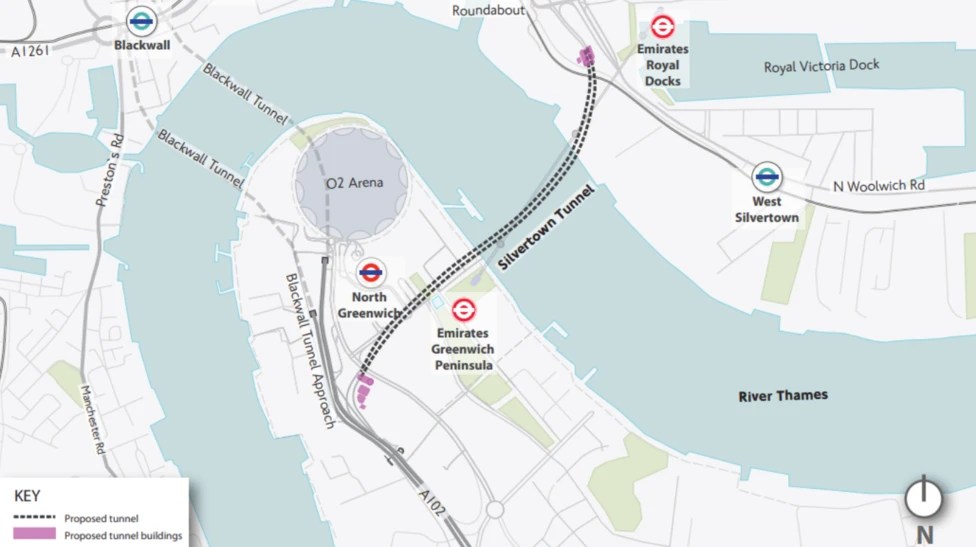
The Silvertown And Blackwall Tunnel Share Approach Routes
This map from the BBC article shows the layout of the two tunnels and their approach roads.
Note.
- The Blackwall Tunnel is two, two lane tunnels, one in each direction.
- The Silvertown Tunnel is one four lane tunnel, with two lanes in each direction.
- The O2 lies between the two tunnels.
The map shows the shared approach road for both tunnels.
What happens if there is an accident on the approach to the tunnels?
Tolling Problems
I feel that the tolling regime is overly complicated.
Hopefully, any problems this causes will lessen, as drivers know what to do.
The Sat-Nav Route Between The Tunnels And The M1
I’ve just looked one recommended route up, not that I have a Sat-Nav and I’ve never used one and the route is straightforward.
- Blackwall Tunnel Northern Approach to Hackney Wick.
- Wick Lane to Hackney Central.
- Graham Road and Dalston Lane to Dalston Junction
- Balls Pond Road to Southgate Road/Mildmay Park
- St. Paul’s Road to Highbury & Islington station.
- Holloway Road to Archway.
- Archway Road, Aylmer Road and Falloden Way to Henly’s Corner.
- North Circular Road and Great North Way to the M1.
I live just South of the Southgate Road/Mildmay Park junction and often these days it is jammed solid.
But there is another route from Hackney Wick.
- A12 to Redbridge Roundabout on the North Circular Road.
- North Circular Road to the M1.
I dread to see what happens, when the Dartford Crossing is closed and heavy trucks from the Channel Tunnel to the M1, decide to take the Silvertown Tunnel as an alternative route.
Struggling To Get Home From Moorgate Station
In most cases to get back to my house, I take a convenient 141 bus from Moorgate station.
- The bus stop at Moorgate is the same side of the road as the exit from Moorgate station.
- At the stop at my home, I just cross the not very busy road and there is a zebra crossing, if the road is busy.
- The walks at both ends are not more than fifty metres.
- The 141 bus, used to share the route with the 21 bus, which meant there was a bus every five minutes.
- The 21 buses are more comfortable New Routemasters.
Now, that the 21 bus no longer shares the route, timings of the 141 are much extended, with sometimes a wait of as long as 15 minutes.
This is because.
- The traffic has got a lot heavier.
- One fleet of buses, is taking both groups of passengers.
- Islington has laid out numerous Low Traffic Neighbourhoods.
Consequently, the remaining 141 buses have a much higher passenger density and I don’t always get a seat.
This Saturday and Sunday, the Elizabeth Line wasn’t running, so the buses were overcrowded.
On both days, I had to get a 76 bus from Moorgate to De Beauvoir Town, as I had waited for a long time and one had not been shown on the app.
Yesterday, I would have had to wait 26 minutes for the 141 bus to do the last mile to get home.
So I walked and took these pictures of Islington’s not so pretty pavements.

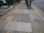


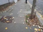
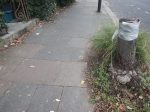
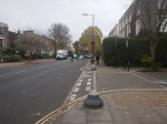
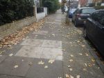


Compared to Hackney, they are not a pretty sight. And the pavements did make walking difficult.
As I did the last leg to my house, five 141 buses passed me, as Transport for London don’t believe in spreading them out, where there are punters.
Luckily, I wasn’t carrying anything heavy!
Today, I was even luckier in that a 141 bus stopped, soon after I got off the 76.
The Great Bus Robbery
Transport for London (TfL) obviously don’t like people where I live in the Northern part of De Beauvoir Town in the London Borough of Hackney.
When I moved here, ten years ago there were six bus routes that passed through the traffic lights where the Balls Pond Road (It is not a made-up-name from Round The Horne) and Southgate Road/Mildmay Park meet.
- 21 – Newington Green and Lewisham Shopping Centre
- 30 – Marble Arch and Hackney Wick (From the sublime to the ridiculous?)
- 38 – Victoria station and the romantic Clapton Pond
- 56 – Bart’s Hospital and Whipps Cross (You’d be cross, if you’d been whipped!)
- 141 – London Bridge Station and Palmers Green North Circular Road (Surely, another romantic destination!)
- 277 – Highbury & Islington Station and Crossharbour
Note.
- We had two bus routes to and from Highbury & Islington station for Dear Old Vicky!
- We had two bus routes to and from Moorgate, Bank and the City of London.
- We had four bus routes to and from Dalston Junction station and the cultural attractions of Hackney Central.
- We had a direct bus to Canary Wharf.
TfL looked at the name of the district and thought the posh French name, meant we were all had expensive vehicles or Hackney carriages and said we had too many buses.
So in June 2018, the 277 bus was cut back to Dalston Junction station and TfL promised that the frequency of the 30 bus would be increased. We’re still waiting for extra services.
Now, if you want to go to Highbury & Islington station, according to TfL’s Journey Planner, it’s often quicker to take a 38 or 56 bus to Essex Road station and take a train.
To make matters worse the 30 bus route now has cheap and nasty Egyptian-built buses with more steps than Russia. All buses should have flat floors like the New Routemasters.
What is TfL’s latest crime?
The 21 and 271 buses are going to be combined into a new route between Lewisham and Highgate, which will go nowhere near the Balls Pond Road.
So we’ll just have the one bus route to the City of London.
On past form, if TfL say they will increase the frequency, I wouldn’t believe them.
I think that TfL have ignored some problems.
The Elderly And Disabled
Between Newington Green and Englefield Road, a higher proportion of the passengers getting on the 21 and 141 buses seem to be in these groups.
- As it’s a nice place to live, I suspect many elderly people have just stayed on.
- I believe that North of the Balls Pond Road, there are some care homes and sheltered housing.
Have TfL analysed their passengers?
Not Everybody Has Cars
There are several blocks of social housing on the Newington Green and Englefield Road stretch and you see a lot of passengers who don’t look like car owners.
The lack of parking and the Low Traffic Neighbourhoods don’t help.
Access To Waterloo
My quickest way to Waterloo, which is London’s busiest rail terminal, is to take a bus to Bank and then get the Drain.
A halved service to Bank station will probably force me to take longer routes.
Tradition
When I was a child in the 1950s, the 141 was the 641 trolley bus, which ran between Winchmore Hill and Moorgate.
People, who live in Wood Green, Turnpike Lane and Manor House still commute to the City by bus, as people have done for over a hundred years.
I suspect a lot of commuters change from the Piccadilly Line to the 141 bus at Manor House station. I certainly use that route if I’m going to Southgate or Cockfosters.
The 21 bus starts at Newington Green, which means if you want to go from Balls Pond Road to Bank, you’ll usually get on a 21 bus, as the 141 buses are full with passengers from further North.
So it looks like to get to Moorgate, we’ll need to get a bus to Angel and then get the Northern Line, after the rerouting of the 21 bus.
Crossrail
This will have a big effect.
Suppose you live in Wood Green and want to get to Crossrail.
There is no obvious connection, but tradition will mean your preferred route will be to take a 141 bus between Manor House and Moorgate.
There will also be a quick route between Moorgate and Liverpool Street station, that I wrote about in London’s First Underground Roller Coaster.
Conclusion
We will need the 21 bus to provide us with a route to Crossrail, as the 141 buses will be full.
The 21 bus is needed where it is and mustn’t be stolen.
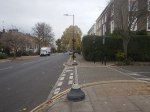
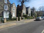
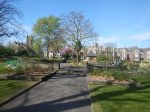
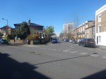
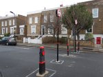
De Beauvoir Square
This is my local square, which is about fifteen minutes walk.


Note.
- C and I tried to buy one of the Dutch style houses in the square from the screenwriter; Alun Owen in about 1971.
- It would have cost just £7,500. Now a hundred times that, wouldn’t buy it!
- There was a gardener at work.
De Beauvoir Town is not what you’d expect in Hackney.
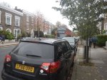
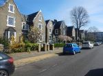
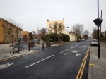
Walking Through De Beauvoir Town
I took these pictures as I walked through de Beauvoir Town, as I walked through today on my way to and from the doctor’s to get my hand dressed.

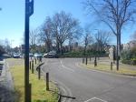
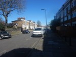
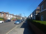


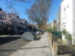
There wasn’t many people about and I perhaps only got within three metres to one person and her dog.
What would help would be a few seats, so that elderly people like me could take a break.
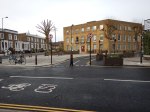
The Need For Small Offices In London
The De Beauvoir Block is a block near me, that contains several dozen small office units.
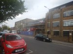
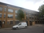
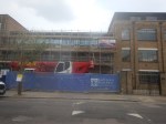
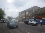
As the pictures show, the offices in the extension, seem to be all spoken for.
Brexit may or may not be happening, but London still seems to be going its own way!
Dalston Goes French
I know that De Beauvoir Town, where I live, is next to Dalston’s Kingsland Road, which is the local High Street, but surely for the local Marks and Spencer to sell sandwiches labelled in French is going a bit far.

What would the Rees-Moggies say of this?
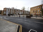
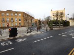
Why I’m In Favour Of Cycling Superhighways
Near me there is a junction, which drivers access, like Lewis Hamilton going into the pits at Silverstone.
It means they can get through to the City quicker.
But over the last few weeks, the number of drivers taking the bend quickly and putting pedestrians in danger has dropped significantly. I’ve also seen drivers go hurtling off doiwn the road only to come back a couple of minutes later, with faces like thunder.
I just give them a knowing look!
So why has a dangerous junction become a lot safer?
Cycling Superhighway 1, goes across the rat-run and it has been used to choke off the rats, as the pictures show.
I’m now very much in favour of the Cycling Superhughways despite being told by every taxi-driver I use, that they are a complete pain!
But then I don’t drive!
