Are Arnos Grove And Northolt Tube Stations Going Step Free?
BBC London local news announced this morning some Underground stations would be made step-free.
- It could have been two or ten stations, that would be made step-free.
- Arnos Grove and Northolt were definitely mentioned.
- A timescale of eighteen months was given.
The news story seems to have vanished without trace.
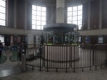
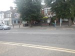
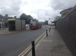
Arnos Grove Station
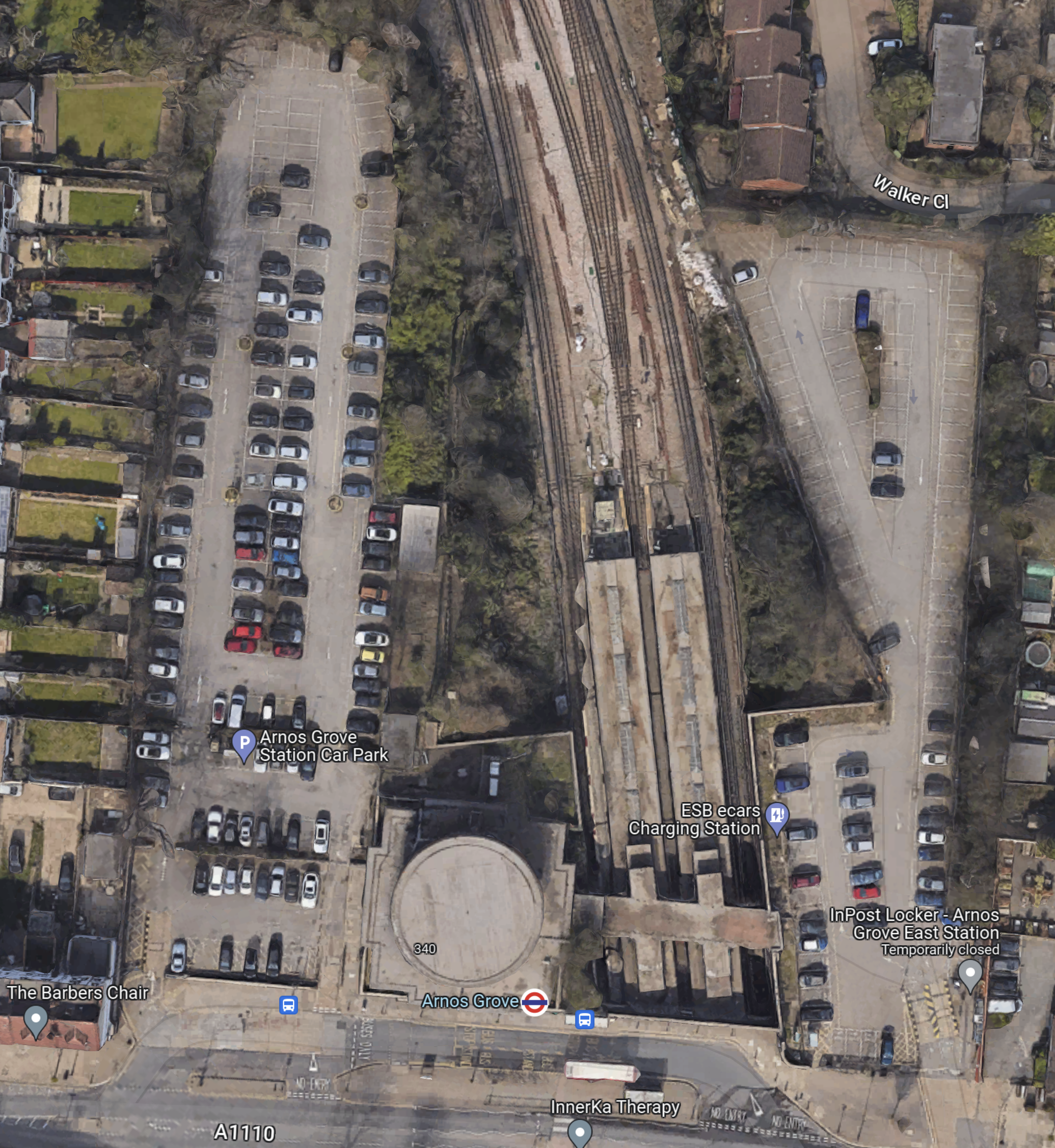
This Google Map shows Arnos Grove station.
Note.
- The cylindrical shape of Arnos Grove station.
- The bridge over the tracks, which gives access to the trains to the East of the cylinder.
- Car parks to the East and West of the station.
- In Go-Ahead For West London 460-Home Build To Rent Scheme, I described how houses were to be built in the two car parks.
- According to this article on Ian Visits, which is entitled Plans To Build Flats On Arnos Grove Tube Station Car Park, there will be 162 flats in four blocks.
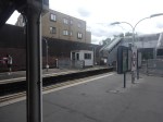
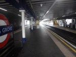
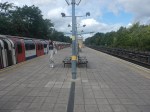
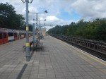
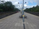
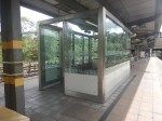
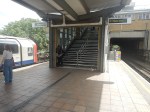
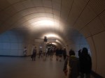
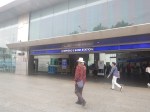
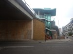
These pictures show Arnos Grove station.

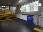

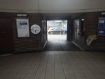


Note.
- Work on the flats on either side seems to have started.
- There are lots of period features.
- There will be a lot of work needed on the rather steep stairs.
- There will be a need for at least three lifts.
This page on Connected Living London, has a plan of the development.
- Gardens are shown each side of the iconic station.
- The gardens can be accessed from the pavement in front of the station.
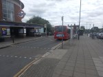
- Southbound buses draw up in front of the station.
- A zebra crossing gives access to the Northbound buses on the other side of the road.
I suspect that there will be step-free access to the station bridge over the tracks from both gardens.
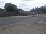
Northolt Station
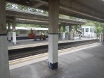
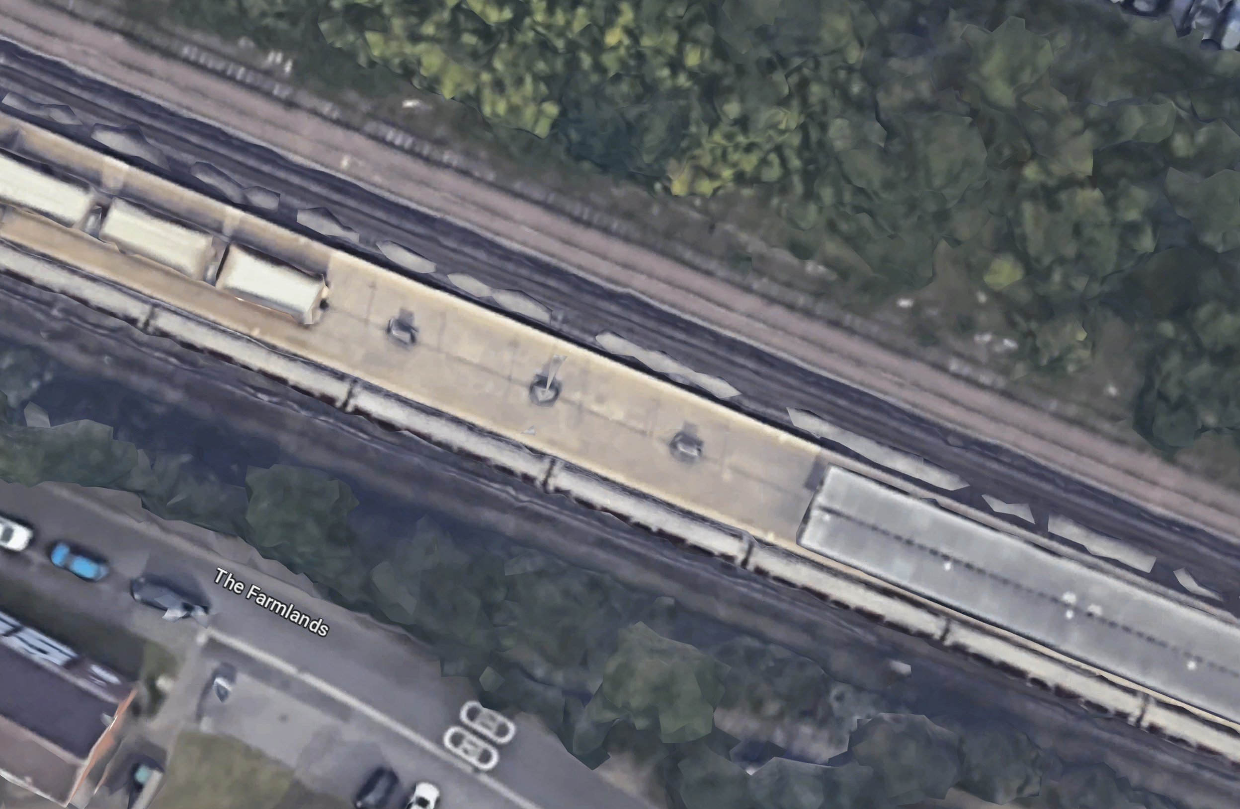
This Google Map shows Northolt station.
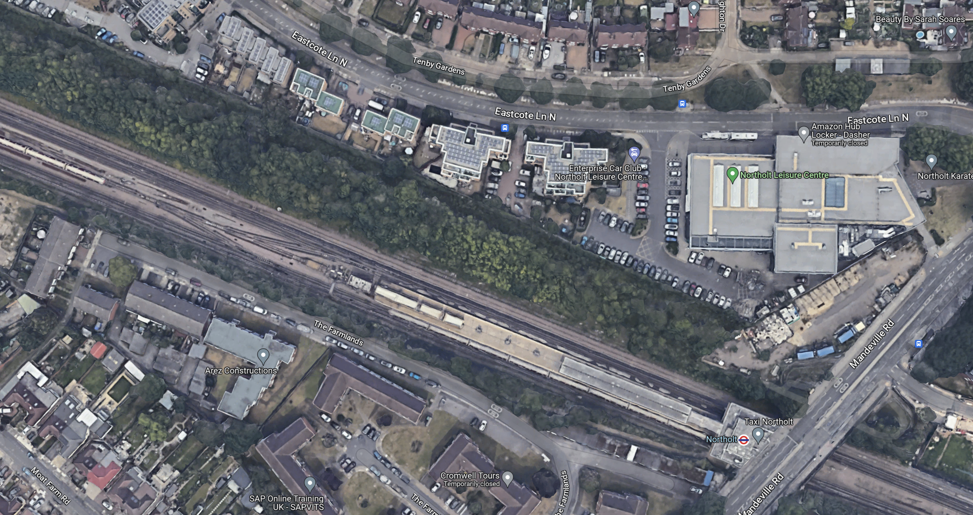
Note.
- The station entrance in the South-East corner of the map on Mandeville Road.
- The long island platform stretching North-West from the station building.
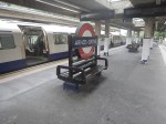
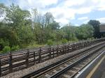
- An eight-car 1992 Stock train is in the Southern platform going West.
- The land on the Northern side of the railway appears to be low-grade woodland, which is quite similar to that at Arnos Grove station.
This map from cartometro.com shows the lines through Northolt station.
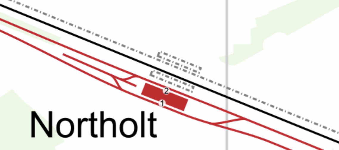
Note.
- The Central Line is shown in red.
- The Central Line is laid out so that there are two ways of turning a train back to London.
- The single-track Acton-Northolt line is shown in black.
- The former second track if the Acton-Northolt line is shown dotted, as are the two former platforms.
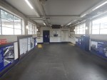
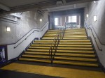
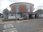
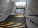
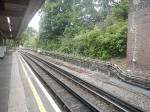
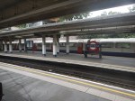
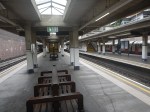
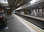
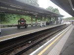
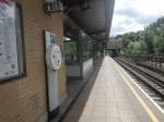
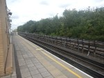
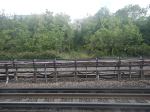
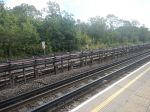
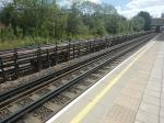
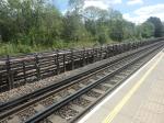
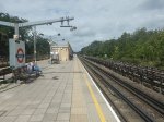
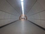
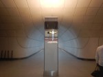
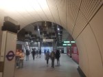
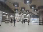
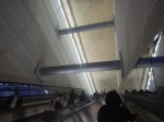
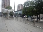
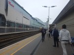
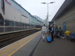
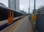
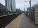
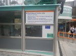
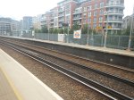
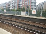
These pictures show Northolt station.
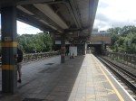

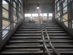
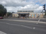
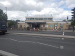
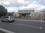


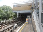
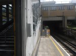
Note.
- The station is showing signs of a sympathetic refurbishment.
- The steps down to the platform is a double set of steps separated by a handrail.
- There is a stylish glass shelter.
- There doesn’t seem much space for a lift to the station entrance.
It should also be noted that for eleven in the morning, the station seemed busy.
These are Underground passenger figures for 2021 in million for stations between Hanger Lane and West Ruislip.
- Hanger Lane – 1.47
- Perivale – 1.08
- Greenford – 2.05
- Northolt – 2.47
- South Ruislip – 0.89
- Ruislip Gardens – 0.48
- West Ruislip – 0.71
Note.
- Greenford, South Ruislip and West Ruislip have some extra National Rail passengers.
- Greenford is the only station between Hanger Lane and West Ruislip, with full step-free access.
- Greenford station uses an inclined lift and I wrote about it in The Inclined Lift In An Improved Greenford Station.
As Northolt is the busiest station without step-free access, this is probably sufficient reason for step-free access to be installed.
Could Step-Free Access At Northolt Be Linked To Property Development?
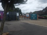
This Google Map shows a close-up of the station building and Mandeville Road.

Note.
- The station building is marked by the London Transport roundel.
- To the North of the station, is Northolt Leisure Centre, which was opened in 2010.
- Mandeville Road runs across the map to the East of the station and the Leisure Centre.
- In the South-East corner of the map, thee looks what could be a High Speed Two site, marked out with red and white barriers.
- Between the station and the Leisure Centre, there appears to be a site used for parking trucks.
Could it be possible to develop step-free access from the site to the North of the station?
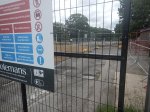
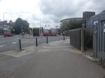
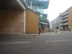
This second set of pictures show that site.
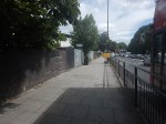
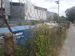

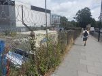
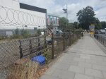
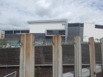
Note.
- The site is rather a dump.
- There is even a subway.
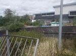
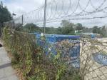
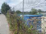
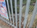
This third set of pictures, show the land on the other side of the Acton-Northolt line from the platform at Northolt station.

There are certainly possibilities! Especially if, housing were to be developed alongside the Northern side of the railway.
I suspect, that there could be a bridge across the railway, at this position in the station.
Certainly something would be possible.
Conclusion
Property development at both Arnos Grove and Northolt station would probably need step-free access at both stations.
If the BBC report was right, then to build the step-free access as the first part of the projects, is probably a good idea, as passengers get some early benefits.
I suspect though, that we’ll get a press release that says what is actually happening in a few days.
From Moorgate To Imperial Wharf – 30th June 2022
I wanted to see the new entrance at Imperial Wharf station today, so after a full English breakfast on Moorgate, I took the Lizzie Line, Central and West London Lines across London.
I took this route.
- Lizzie Line – Moorgate to Tottenham Court Road
- Central Line – Tottenham Court Road To Shepherds Bush
- West London Line – Shepherds Bush To Imperial Wharf
I took these pictures along the route.

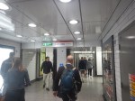

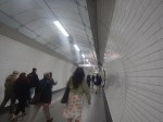

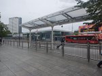

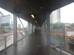

Note.
- The change at Tottenham Court Road station involves going up to the ticket hall and down again.
- The change at Shepherds Bush involves crossing the road between the Central Line and Overground station.
- The last few pictures show the new entrance at Imperial Wharf, which is for Northbound trains only.
When Bond Street station opens on the Lizzie Line, it should be easier to change there for the Central Line.
The Plans For A Connection Between The Lizzie And West London Lines?
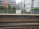
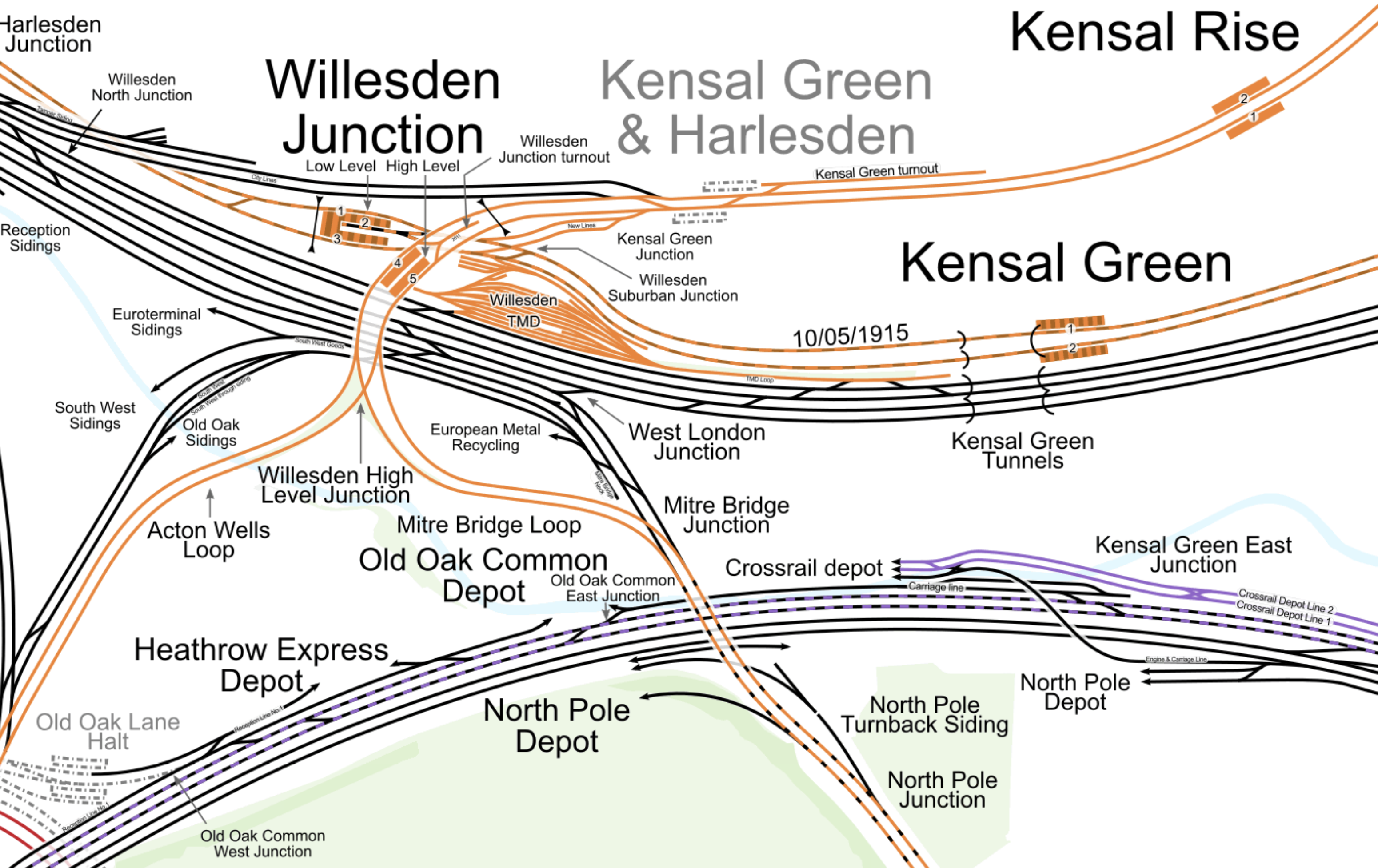
This map from cartometro.com shows, where the Lizzie and West London Lines cross in the area of Old Oak Common.
Note.
- The Overground is shown in orange and splits into the North and West London Lines South of Willesden Junction station.
- The Lizzie Line is shown in purple and black, as it goes across the map, as at this point it shares tracks with the Great Western Main Line.
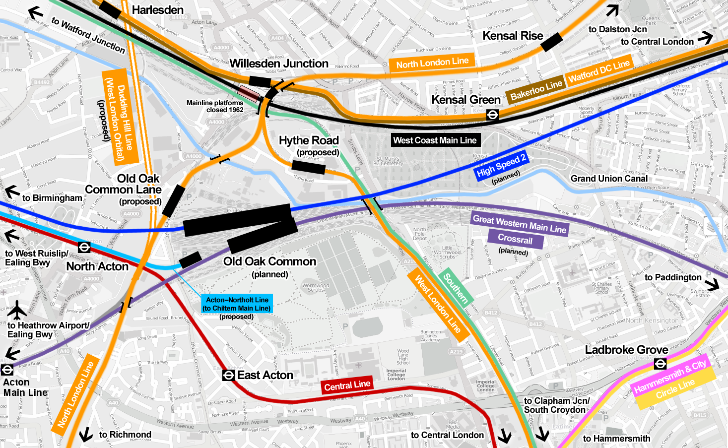
This map shows how High Speed Two will change the lines.
Note.
- Hythe Road station on the West London Line, which will have a walking route to High Speed Two and the Lizzie Line.
- Old Oak Common Lane station on the North London Line, which will have a walking route to High Speed Two and the Lizzie Line.
- The Dudding Hill Line, which is shown as an orange double-line and could be part of the West London Orbital passing North-South to the West of Old Oak Common Lane station.
- The Acton-Northolt Line, which is shown in blue and could give Chiltern Railways extra platforms at Old Oak Common with a walking route to High Speed Two and the Lizzie Line.
Wikipedia says that the status of the two Overground stations according to Transport for London is as follows.
Subject to funding being secured and further public consultation, we would seek permission to build and operate the proposals via a Transport and Works Act Order (TWAO). Funding remains a significant constraint in delivering these proposals. We are currently seeking to establish a package of funding that could enable the stations to be delivered by 2026 alongside the new HS2 and Elizabeth line station.
I suspect that with our current South London Mayor, we will see little progress on these connectivity schemes at Old Oak Common station, as with the possible exception of Hythe Road station, there’s little in it for South London.
Conclusion
Hythe Road station would certainly have made my journey easier yesterday.
Hopefully, though, if I do the journey again in the next year or so, Bond Street station will be open on the Lizzie Line and I’ll change to the Central Line there.
