A Cruise Back From Chelsea Harbour Pier To London Bridge City Pier
Chelsea Harbour Pier is just about nine minutes walk from Imperial Wharf station, but the signposting could be better.
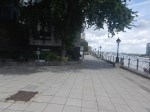
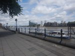
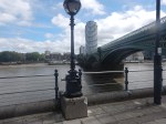
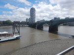
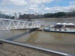
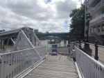
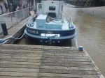
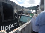
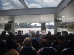
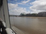
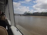
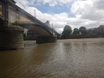
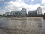
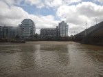
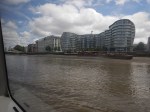
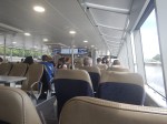
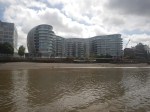
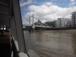
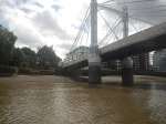
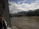
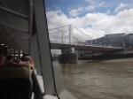
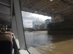
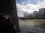
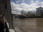
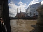
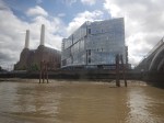
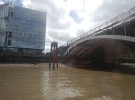
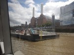
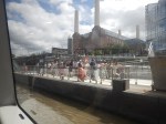
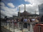
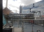
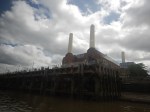
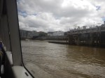
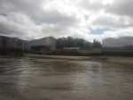
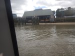
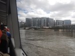
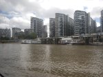
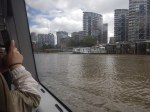
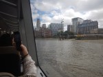
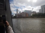
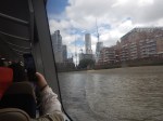
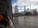
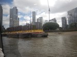
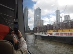
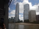
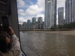
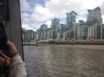
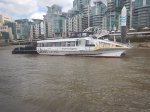
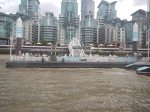
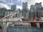
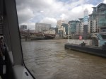
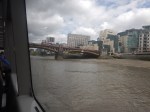
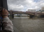
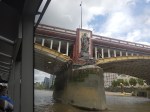
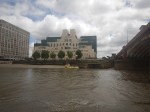
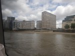
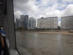
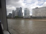
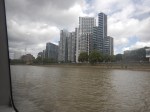
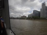
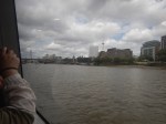
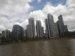
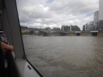
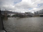
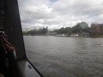
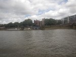
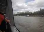
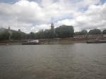
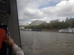
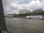
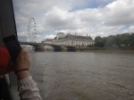
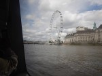
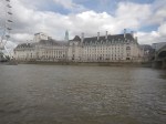
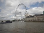
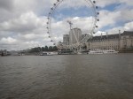
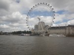
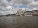
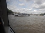
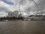
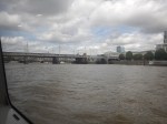
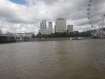
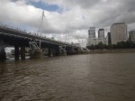
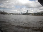
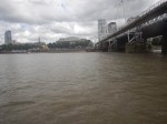
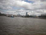
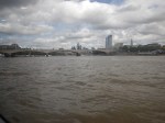
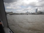
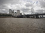
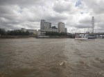
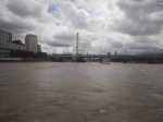
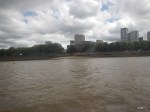
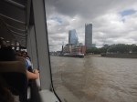
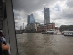
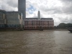
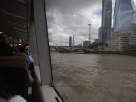
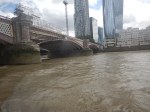
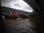
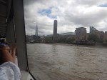
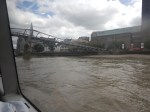
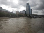
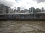
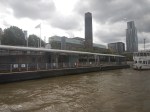
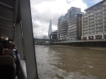
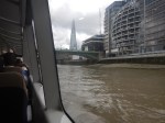
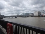
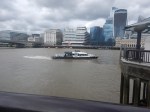
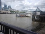
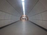
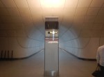
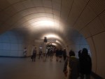
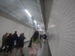
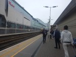
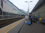
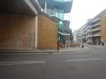
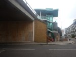
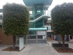
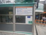
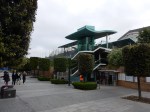
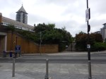
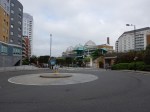
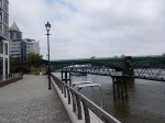
I took these pictures as I came back along the Thames from Chelsea Harbour Pier To London Bridge City Pier, from where I caught a 141 bus home.

Note.
- I sat on the right side of the boat.
- The boat was built at Cairns in Queensland, Australia.
- We don’t buy many manufactured goods from Australia.
- There is a small snack bar on the boat.
- Battersea Power Station Pier was busy.
- Western Riverside Waste Authority (WRWA) is the statutory body, or local authority, responsible for the management of the waste delivered to it by Hammersmith & Fulham, Kensington & Chelsea, Lambeth and Wandsworth. It has a web site.
- I tapped in and out with my faithful credit card.
Although Imperial Wharf and my local station at Dalston Kingsland are on the same London Overground line, using the Thames Clipper made a worthwhile change.
Is This The Fastest Way To Olympia?
The new Olympia Exhibition Centre is difficult to get to. Or it certainly is for me in East London.
I do have a train from my local station at Dalston Kingsland direct to Kensington (Olympia) station.
But as I indicated in Kensington (Olympia) Station – 16th June 2026, Kensington (Olympia) station doesn’t have lifts.
But lifts aren’t needed at Kensington (Olympia) station, if you use the bay platform of the District Line or the Northbound West London Line, as both platforms are level access.
As the District Line only runs occasionally, that’s not much use, but the West London Line has three stations to the South.
- Clapham Junction is good if you’re coming by National Rail, but it doesn’t have an Underground connection.
- Imperial Wharf serves mainly the local housing, but it is only a 250 yard walk to the River bus at Chelsea Harbour Pier.
- West Brompton is an interchange with the District Line with trains to Barking, Edgware Road and Wimbledon.
I wouldn’t be surprised that as more people visit Olympia, they will go via West Brompton.
From Moorgate To Imperial Wharf – 30th June 2022
I wanted to see the new entrance at Imperial Wharf station today, so after a full English breakfast on Moorgate, I took the Lizzie Line, Central and West London Lines across London.
I took this route.
- Lizzie Line – Moorgate to Tottenham Court Road
- Central Line – Tottenham Court Road To Shepherds Bush
- West London Line – Shepherds Bush To Imperial Wharf
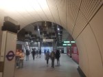
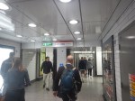
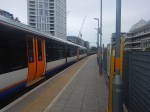
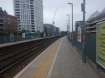
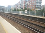
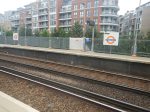
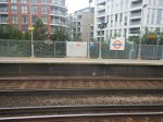
I took these pictures along the route.
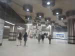
Note.
- The change at Tottenham Court Road station involves going up to the ticket hall and down again.
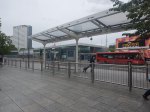
- The change at Shepherds Bush involves crossing the road between the Central Line and Overground station.
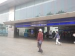
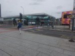
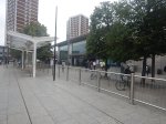
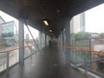
- The last few pictures show the new entrance at Imperial Wharf, which is for Northbound trains only.
When Bond Street station opens on the Lizzie Line, it should be easier to change there for the Central Line.
The Plans For A Connection Between The Lizzie And West London Lines?
This map from cartometro.com shows, where the Lizzie and West London Lines cross in the area of Old Oak Common.
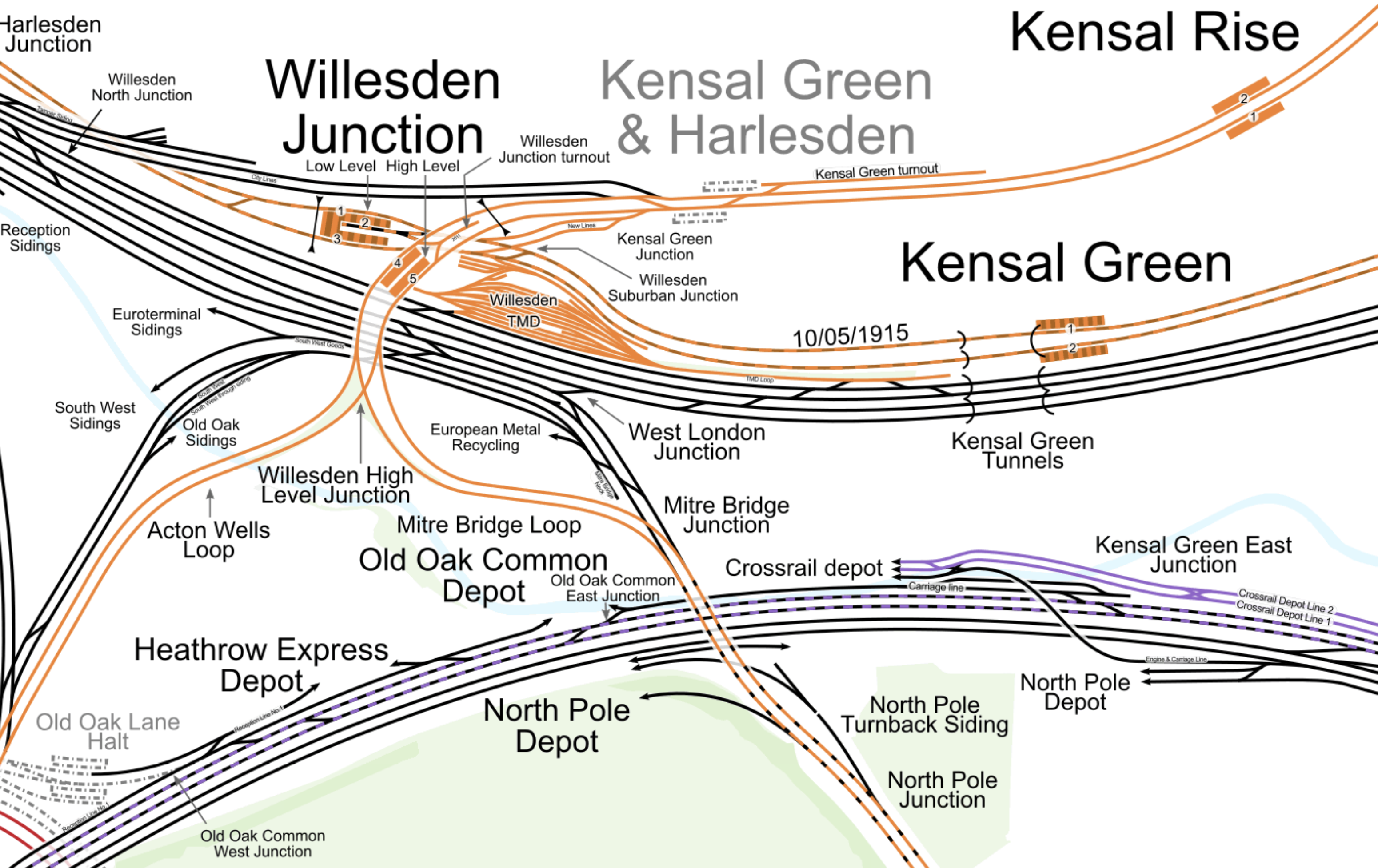
Note.
- The Overground is shown in orange and splits into the North and West London Lines South of Willesden Junction station.
- The Lizzie Line is shown in purple and black, as it goes across the map, as at this point it shares tracks with the Great Western Main Line.
This map shows how High Speed Two will change the lines.
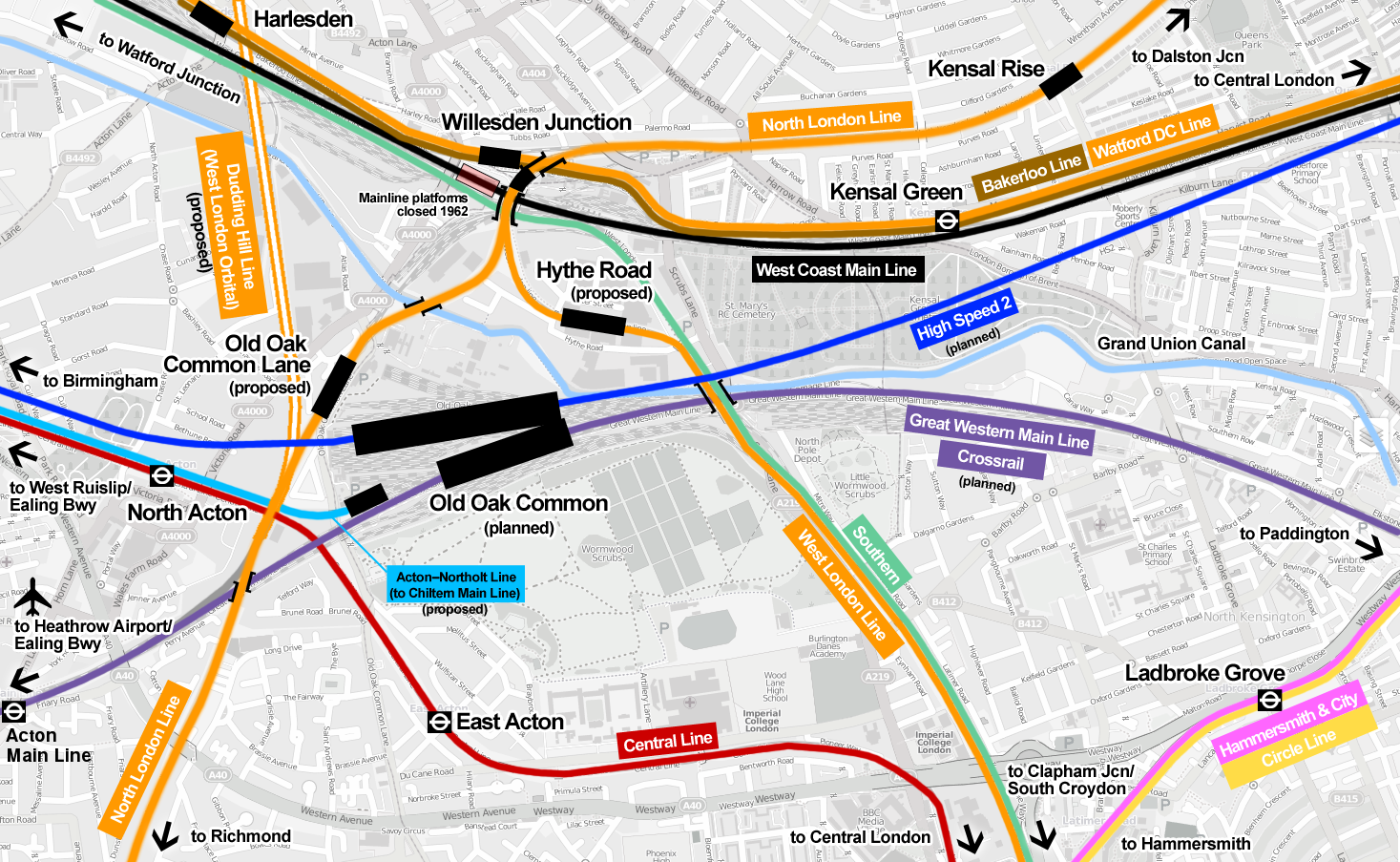
Note.
- Hythe Road station on the West London Line, which will have a walking route to High Speed Two and the Lizzie Line.
- Old Oak Common Lane station on the North London Line, which will have a walking route to High Speed Two and the Lizzie Line.
- The Dudding Hill Line, which is shown as an orange double-line and could be part of the West London Orbital passing North-South to the West of Old Oak Common Lane station.
- The Acton-Northolt Line, which is shown in blue and could give Chiltern Railways extra platforms at Old Oak Common with a walking route to High Speed Two and the Lizzie Line.
Wikipedia says that the status of the two Overground stations according to Transport for London is as follows.
Subject to funding being secured and further public consultation, we would seek permission to build and operate the proposals via a Transport and Works Act Order (TWAO). Funding remains a significant constraint in delivering these proposals. We are currently seeking to establish a package of funding that could enable the stations to be delivered by 2026 alongside the new HS2 and Elizabeth line station.
I suspect that with our current South London Mayor, we will see little progress on these connectivity schemes at Old Oak Common station, as with the possible exception of Hythe Road station, there’s little in it for South London.
Conclusion
Hythe Road station would certainly have made my journey easier yesterday.
Hopefully, though, if I do the journey again in the next year or so, Bond Street station will be open on the Lizzie Line and I’ll change to the Central Line there.
Improving Imperial Wharf Station
In the June 2016 Edition of Modern Railways, there was an article entitled Turning South London Orange.
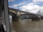
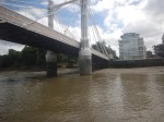
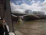
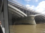
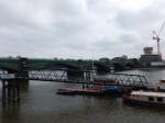
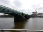
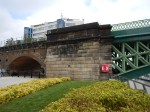
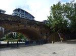
One of the proposals is to create a walkway across Battersea Railway Bridge to give access to Imperial Wharf station from the South Bank of the River Thames.
This Google Map shows the station, the river and the South Bank.
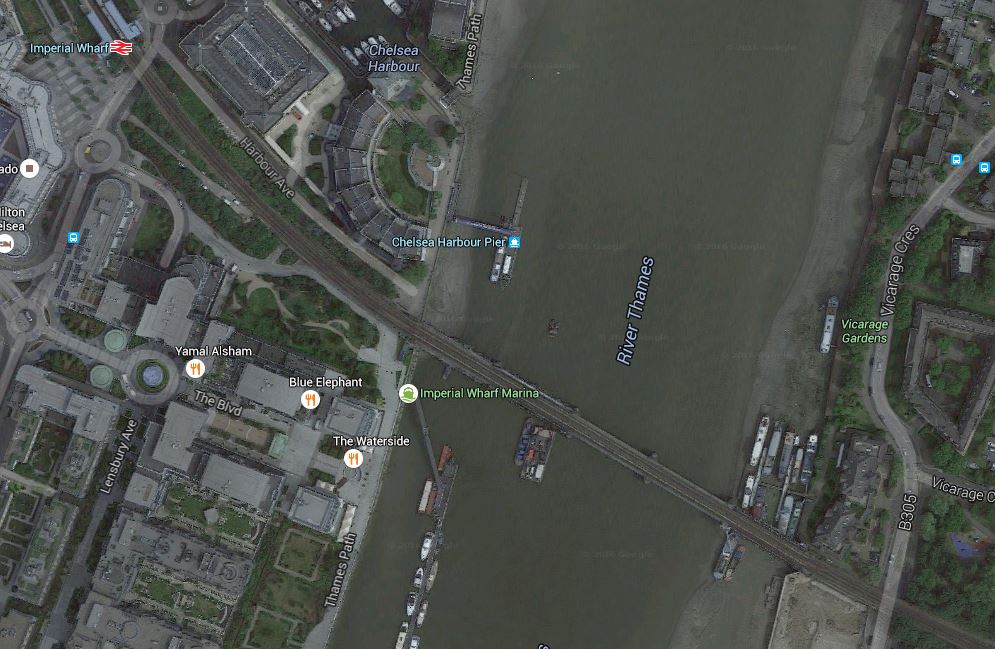
Just to look at this map, shows that the scheme has potential.
- I estimate that the distance is probably about five hundred metres.
- The walkway would also give access to the Thames Clippers at Chelsea Harbour Pier.
- The walkway would give better walking routes in the area and across the river.
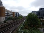
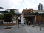
Unfortunately, the design of the station is possibly not one, that could accept passengers walking in and out at track level, so without a lot of work at the station, passengers might have to climb down and up to get between the walkway and the platforms.
Battersea Railway Bridge is also a Listed structure and it may be difficult to add a walkway.
These pictures show the station and the bridge.
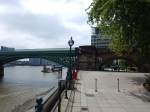
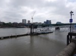
However, it would appear that help is at hand. There are plans for a new footbride called the Diamond Jubilee Footbridge, which will be directly upstream of the railway bridge. This page from the Diamond Jubilee Footbridge web site has a picture and the reasons, why it should be built.
Incidentally, there used to be a Battersea station on the South bank of the River, in the area of Battersea High Street.
This Google Map shows the area.
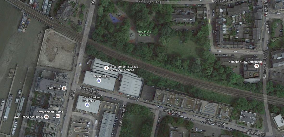
The Location Of Battersea Station
Although, it looks like the station, which was destroyed in 1940s by German bombing, could be rebuilt, I feel that the Diamond Jubilee Footbridge, is a much better way to spend the money.
