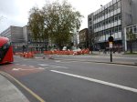
How Could The Twenty Mile Per Hour Limit Be More Strongly Enforced?
Where I live in Hackney, in common with some other London boroughs, there is a lot of twenty mile per hour zones.

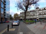
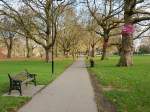
20 MPH Signs In Hackney
As the picture shows they are well signed.
But this doesn’t stop drivers and motorcyclists rushing around, often quite a lot in excess of the allowed limit!
Councils have been criticised recently over using box junction cameras as cash machines, as this article on the BBC details. The title of London councils raise millions through box junction fines summarises the article well!
It may be an erroneous observation on my part, but as London gets more congested and the traffic slower in Central London, it does seem that when the traffic eases as it often does in Hackney, that drivers take more than a legal advantage.
Excessive speed also seems to have got worse in this area, since the 20 mph limit was brought in. Red rags and bulls come to mind.
Why can’t we set up a network of automatic number plate recognition cameras, that locate and timestamp vehicles in the 20 mph zones.
Computers would then check all the timings and issue tickets to those, who obviously got from A to B at over the speed limit. Just like cameras on motorways around road works.
It could be a very nice little earner for councils.
Surely The Labour Party Can Do Better Than This!
Just voted in the Hackney Mayor election.
What is the Labour Party’s logo? It doesn’t reproduce well in black and white on a ballot paper.
It looked like a cartoon version of Mr. Punch.
There was no difficulty with the others, especially the One Love Party, who had a heart!
Incidentally, the candidate for the One Love Party was French and their web site was a .eu one!
She’d probably have got nul votes in some parts of the UK.
The Price Of Freedom
I had a tidy up this morning and found a lot of orange rail tickets.
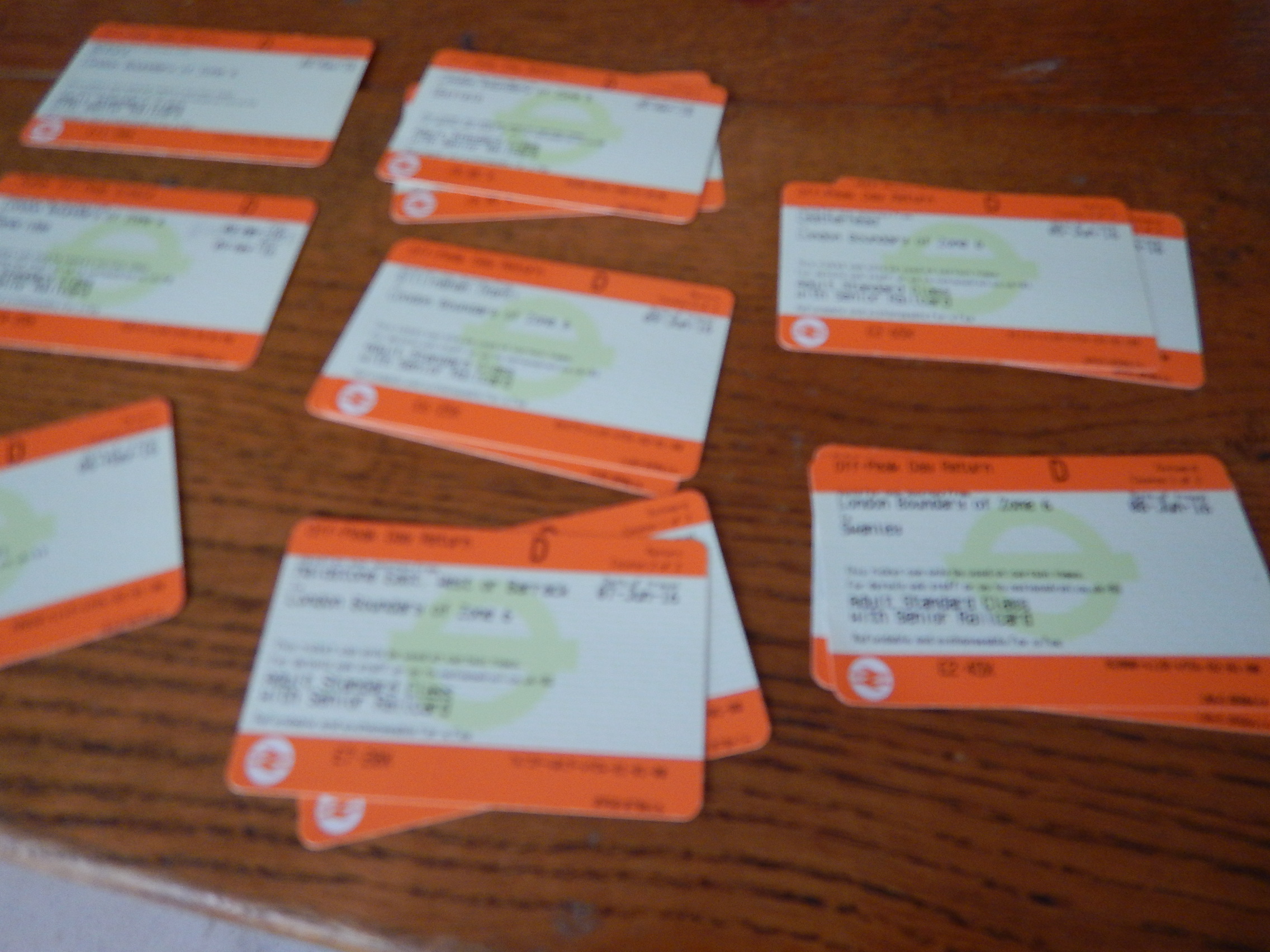
Orange Rail Tickets
These tickets are some Singles, but mainly Returns to places on the fringes of London.
- Aylesbbury Vale Parkway £9.65 ReturnBedford £12.00 Single
- Cambridge £10.25 Single
- Dorking £3.25 Return
- Gerrards Cross £4.05 Single
- Gillingham £6.25 Return
- Henley-on-Thames £6.85 Return
- Leatherhead £2.65 Return
- Maidstone £7.20 Return
- Marlow £5.70 Return
- Milton Keynes 12.60 Return
- Oxford £11.90 Return
- Oxted £2.80 Return
- Rochester £5.55 Single
- Seaford £14.15 Return
- Slough £2.85 Return
- Swanley £2.45 Return
- Tilbury £2.45 Single
- Uckfield £8.85 Return
- Windsor and Eton Riverside £5.20 Single
- Working £5.15 Return
Some of these journeys may seem better value than you can get.
But then as I live in London and have a Freedom Pass, which gives me free travel to the Zone 6 Boundary of London’s travel system, so I’m buying a ticket from that boundary to my destination, which I then buy with a discount, as I have a Senior Railcard.
I also live close to Dalston Junction station, which is one of an increasing number of stations, where you can purchase a ticket from the Zone 6 boundary to a large number of stations, in a ring around London, in a ticket machine without resource to either the Internet or a Ticket Office.
What would be better, would be able to associate a bank card with my Freedom Pass and Senior Railcard. So if I used the bank card as a ticket, like millions do across London every day, it would deduct the cost of my travel to the Zone 6 boundary, that I get free with my Freedom Pass, and then charge me accordingly.
An Estate Agent, who I meet on the street by my house and with whom I often have a quick chat, believes that inward migration of older people into London is driven by the following factors.
- Availability of quality housing, that is comparable in price to a large residence in a good location in the countryside.
- Free public transport for most over sixty-five. Even if you weren’t born in the UK
- Lots of free museums and galleries.
- Lots of paid for events, culture and attractions.
- World-class free healthcare.
- The ability to live without a car.
The last time we met, he told me how he’d just sold a French couple a quality two-bedroom house round the corner to help get round some of France’s tax and inheritance rules.
Who’d have thought that London would be a place where people retire?
But then since about 2000, my late wife, C and myself had planned to sell-up in Suffolk at some time and move to somewhere like Hampstead.
Sadly, she didn’t make it, so I came by myself to the more edgy and plebian Hackney.
But I don’t regret the change of location one iota.
Where will I explore today?
Cycling Across De Beauvoir Town
When I wrote Walking From Haggerston Station To Mare Street, I hadn’t realised how the scheme to effectively convert Middleton Road into a car-free route, would affect De Beauvoir Town.
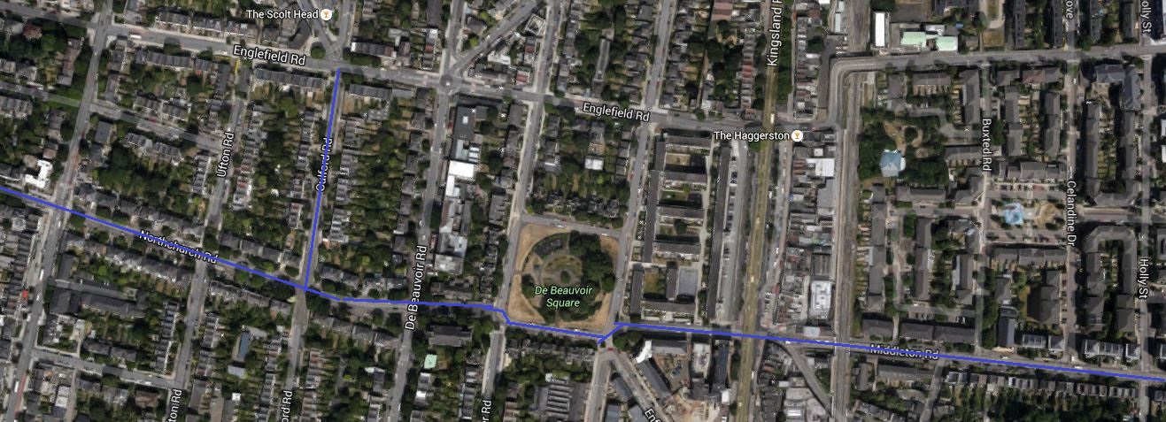
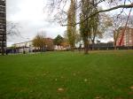
Look at this Google Map, which shows the car-free route across London Fields.

Car-Free Route Through London Fields
The map is rather vague about what happens when it crosses the Kingsland Road and all it shows is a wavy line, which if you enlarge it and use a magnifying glass, has something like Northchurch Road written on it. This Google Map shows the area from Southgate to Kingsland Roads.
Cycling Across De Beauvoir Town
I think as Middleton Road links up to the South Side of De Beauvoir Square, that the downward kink in the route is De Beauvoir Square, so the route goes past St.Peter’s Church and then up Northchurch Road. For the first part of Northchurch Road, the route is following the route of the Cycle Superhighway CS1, that goes up Culford Road.
The two cycling routes are marked in blue on the map.
If the traffic scheme in London Fields is made permanent, I think I will be pleased, as it would give me a car-free cycle route from my house to the Cultural Quarter of Hackney.
If there were Boris Bike stations in De Beauvoir and London Fields, I wouldn’t even have to buy a bike.
On the other hand the London Fields scheme could generate a lot of cycling traffic through De Beauvoir Town.
Others might not be so pleased!
Later I walked the route and there are photographs of it in Walking From De Beauvoir Town to London Fields
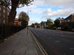
Walking From Haggerston Station To Mare Street
I did this walk as the area from East of Haggerston Road through London Fields is going to be traffic calmed, as described in this page on the Hackney Council website.
This report in the Hackney Citizen is entitled London Fields residents clash over car-cutting measures. This is said.
Residents are at loggerheads over council proposals for a car-free zone to the west of London Fields.
During the three-month trial period, due to begin in January, Middleton Road and surrounding streets will be blocked off to motorists, allowing cyclists and pedestrians to travel freely down Middleton Road.
Residents will still be permitted motor access to all streets.
Nothing is as difficult as getting the correct mix of traffic. They also provided this map.
Car-Free Route Through London Fields
So I took a lot of pictures as I walked.


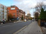
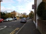


My observations.
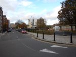
- It was a charming walk, through fairly wide streets with lots of trees. Hackney is no crime-ridden wasteland!
- There was no sign of any traffic calming.
- The area has a high level of cycling. I suppose being flat helps.
- There were a few cases of traffic rushing about.
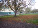
- Stonebridge Gardens is being upgraded with a new design.
I remember the area from the 1970s, when C ran a short life house for ex-prisoners, just off Mare Street. You could say the area has improved, without too much drastic change. This Google Map shows the area, where I walked.

Haggerston To London Fields
Haggerston station is on the East London Line at the West (left) and London Fields station on the Lea Valley Line is to the right of the green space that is London Fields, with its fifty metre heated outdoor pool. Mare Street is the A107 running down the map to the right of the railway.
I live just a few hundred metres from the top left corner of the map.
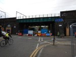
It will be interesting to repeat this walk, when the traffic calming is complete and they’ve finished painting the bridge.
A Bookies With A Clock Tower
Corals Betting Shop in Hackney has an interesting juxta-position with St.Augustine’s Tower.
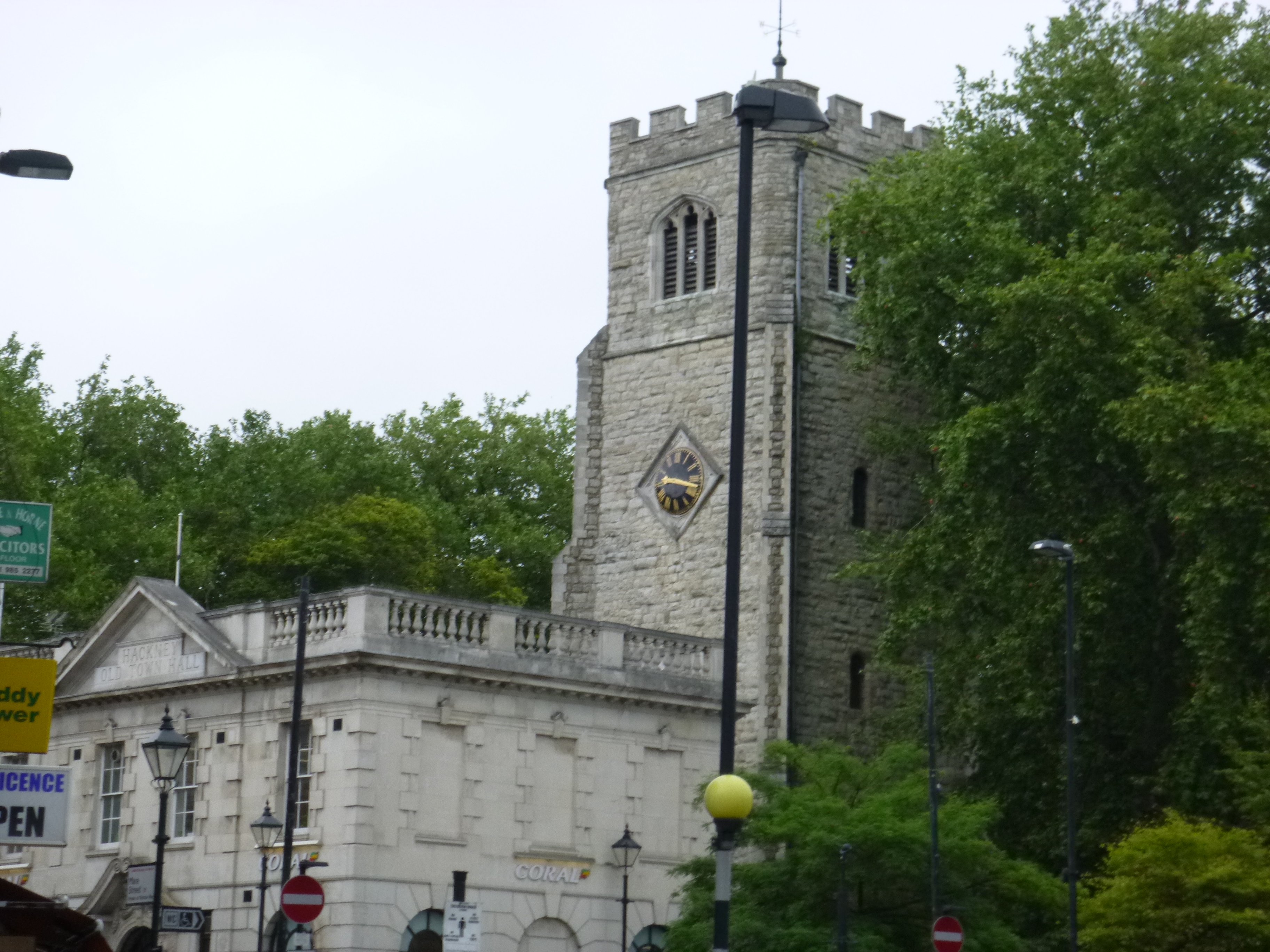
A Bookies With A Clock Tower
The tower and its contents are Grade 1 Listed.
Hackney’s Domestic Food Waste System
Hackney has a two-bin food waste system that seems to work well.


I have a small bin in the kitchen and a larger one downstairs, which I put out once a week, with the other rubbish.
The larger one bin been designed for carrying, so I bring it upstairs to empty the smaller bin, rather than carry the waste down in its degradable liner.
I’m still using a shop carrier bag in a large IKEA plant pot for waste that can’t be recycled.
Both the liners for the food waste bin and green sacks for dry recycled waste are supplied by the council, by filling in an on-line form. Usually bags are delivered in a couple of days.
The system seems to be having the desired effect, as this page on the council’s web site shows. In 2001, the recycling rate was less than 1%, but now it is over 25%.
A Board Outside The Haggerston Espresso Room
I’ve used the Haggerston Espresso Room several times, as it’s near to my doctor’s surgery and it serves decent coffee and tea.

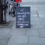
The pictures show both sides of the board that was outside.
Where Is Silicon Way?
I saw this road sign from a bus.
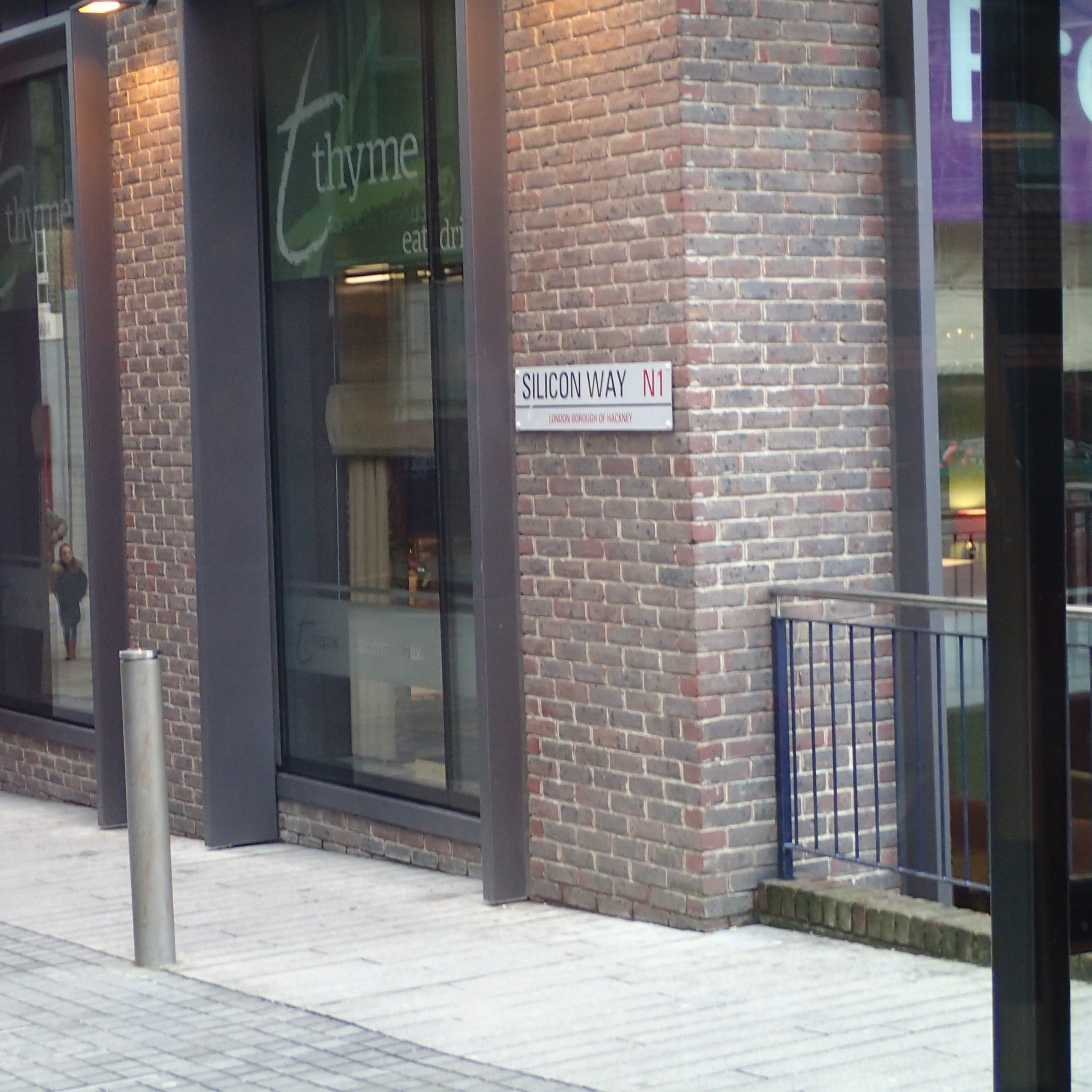
Where Is Silicon Way?
As you might suspect, it’s tucked behind Silicon Roundabout.
How Often Do You Recycle?
Charles Clover in The Sunday Times has a thoughtful article about recycling. He says this.
There is an even more substantial obstacle to progress over the road in the shape of Eric Pickles, the communities secretary. Statistics show the best local authorities for recycling have certain things in common — one of them being fortnightly refuse collections. Despite all the evidence, Pickles gives grants to councils that keep weekly collections.
My council, Hackney, collects weekly, where they empty my wheelie bin and collect my green sack of recyclables.
But over the last couple months, I’ve happened to be out on bin day, so I make sure I put out the rubbish at least one week in two.
So is that fortnightly?
