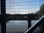
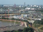
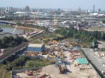
Stratford Panorama From The Emirates Air-Line
The picture shows the Olympic Park from the Emirates Air-Line cable-car.
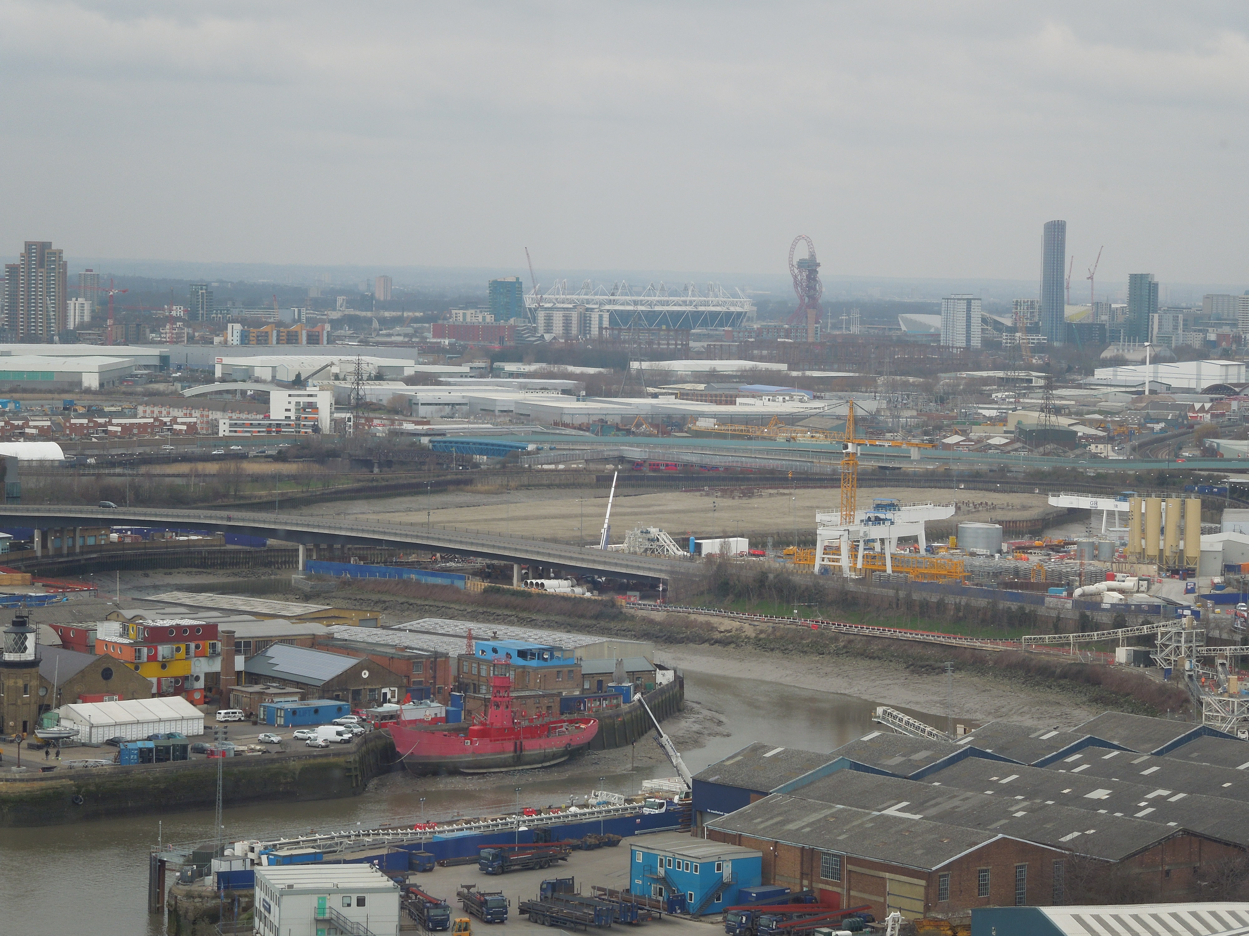
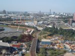
Stratford Panorama From The Emirates Air-Line
The mouth of the River Lee is in the foreground.
Walking From Leamouth To Canning Town Station
This morning in what could be the last of the summer sun, I took a 277 bus to Leamouth and then walked to Canning Town station along Bow Creek.


The area is one of the more interesting in London, with the River Lea of which Bow Creek is part, gradually silting up and reverting to reed beds. The inside of the bend used to be the the home of the Thames Ironworks and Shipbuilding Company and now it is one of the tunnelling sites for CrossRail. The successor of the works football team of the Thames Ironwork still exists as West Ham United, but the company is long gone, deespite building many ships for the Navy and companies like P & O.
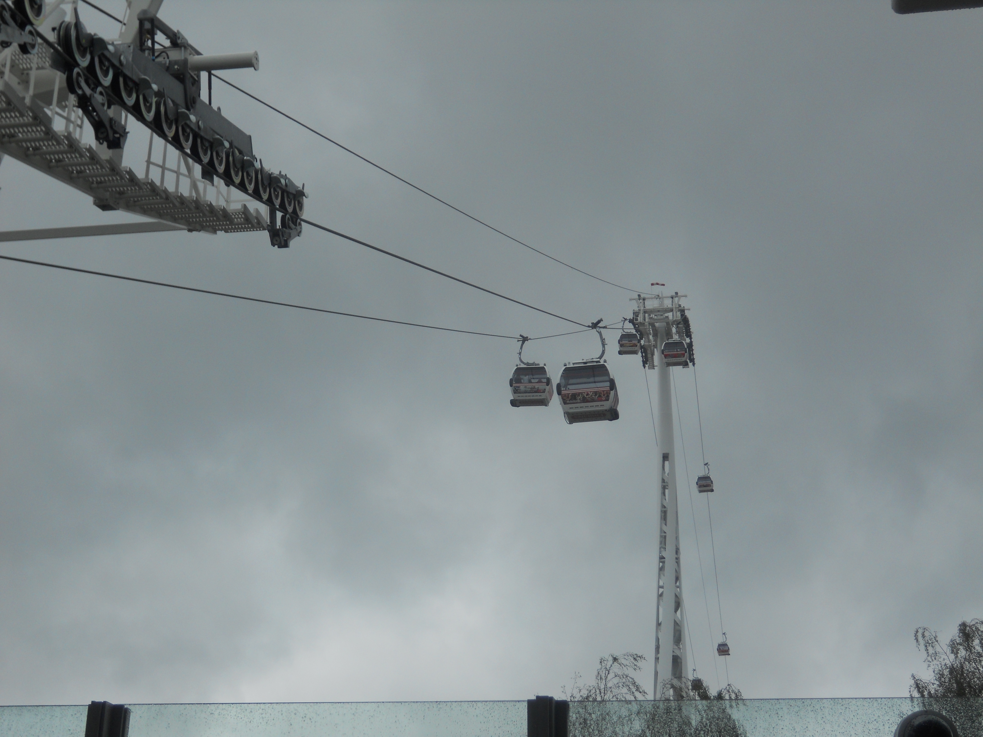
From Canning Town station, I got the DLR, the Emirates Air-Line cable-car and the Jubilee line to Canary Wharf for lunch. I suppose, I could have taken the Jubilee line from Canning Town station, but the cable-car has better views.
Thinking about the route, you could take the 277 bus from any number of places like Highbury and Islington and then go back to Central London on the Jubilee line. but on a sunny day, don’t cut out the cable-car as it gives some spectacular views.
The First Legacy Venue Opens
I was born in Enfield and spent the first fifteen or so years of my life in Cockfosters, which in those days had a Hertfordshire postal address.
A couple of times, I cycled down to the Lea Valley to do a bit of fishing, although I wasn’t that good or keen. I also had three summer jobs at Brimsdown on the Lea, working for Enfield Rolling Mills. Incidentally, that job came because my father just phoned up John Grimston, the Earl of Verulam, and asked if they had a job for a sixteen-year-old, interested in electronics, in the company, where he was Chairman. The company was the biggest customer for my father’s printing business. I have a feeling that I have inherited my father’s nothing-is-impossible gene.
So yesterday, I was rather pleased to read that the first of the legacy venues has opened after the Olympics, on that river, which was part of my formative years. The Lea Valley White Water Centre, where I watched the canoeing, is now open and will be expanded. Who’d have thought there’d be white water sports in the mountains of Hertfordshire?
I think it just goes to show, you just have to have enough imagination.
The CrossRail Site At Limmo
The CrossRail site on the Limmo Peninsular is easy to see, either from the Beckton branch of the DLR or from the Emirates Air-line.

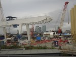

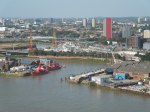

The tunnels will be driven both west towards Canary Wharf and ultimately Farringdon, and east towards the Victoria Dock portal.
Note that the CrossRail site is easily identified by the the white gantries and the three beige towers, which I suspect are for producing concrete. The site is tightly sandwiched between the River Lea to the west (left) and the DLR to the right (east), with the Lower Lea Crossing in front (south), partly hidden by trees. You can get a better idea of the layout on the ground, by looking at this map.
Note that Instone Wharf in the right front, opposite to the two light ships, will be used to take all the spoil from the tunnels away in barges. Spoil will be brought to the wharf by conveyors and then will go to create a new nature reserve at Wallasea Island in Essex.
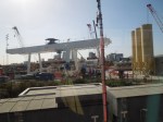
I suspect that if someone gets in the cable-car with a good camera with a strong telephoto lens, some good pictures could be taken on a clear day. It would be best to take them, whilst travelling from south to north from North Greenwich to Royal Victoria.
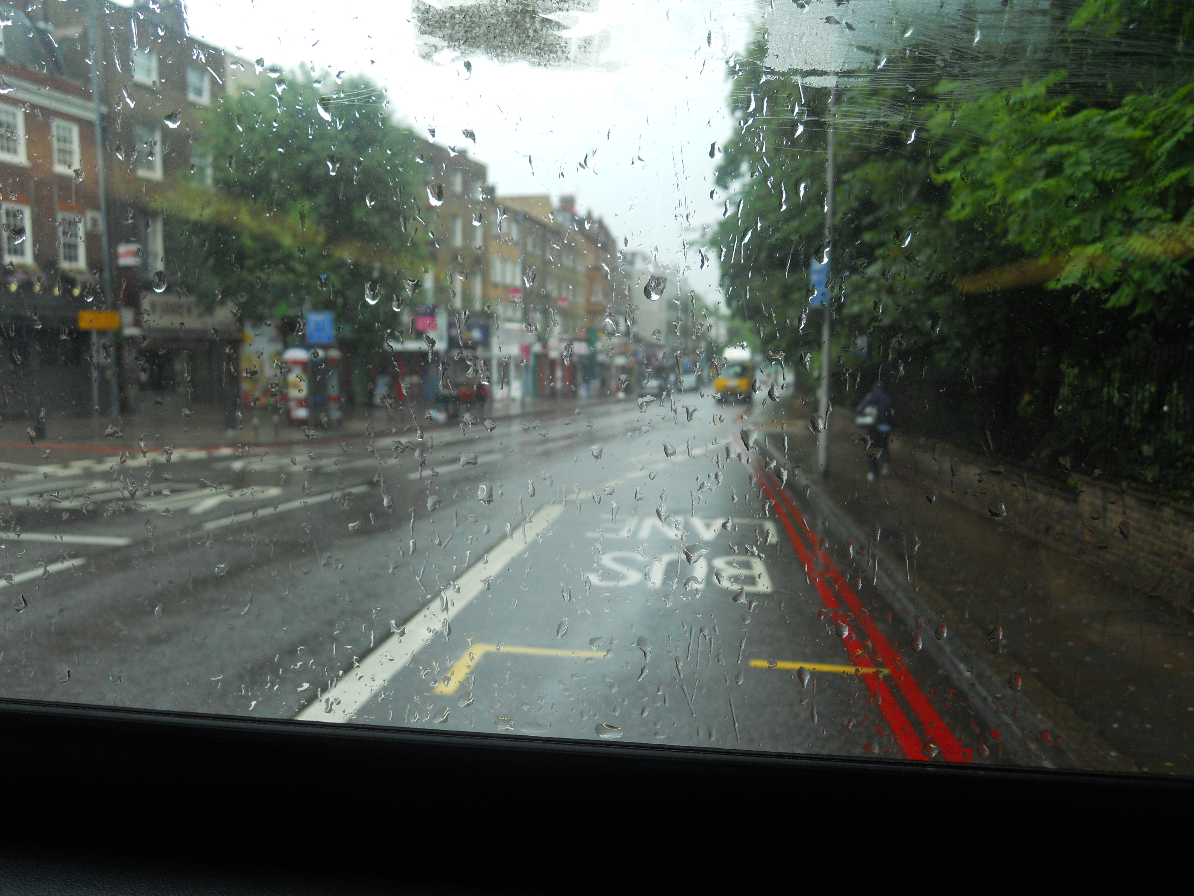
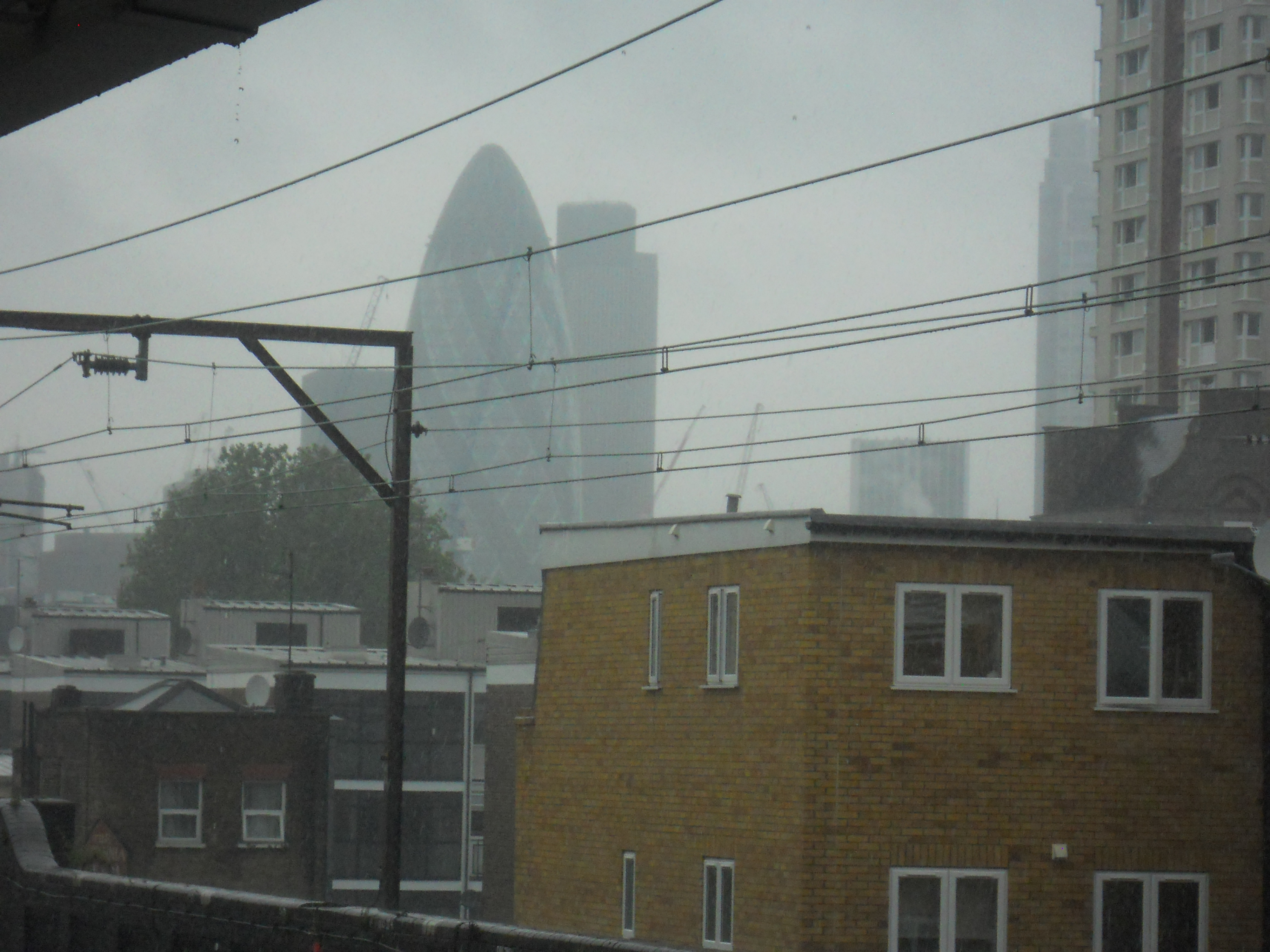
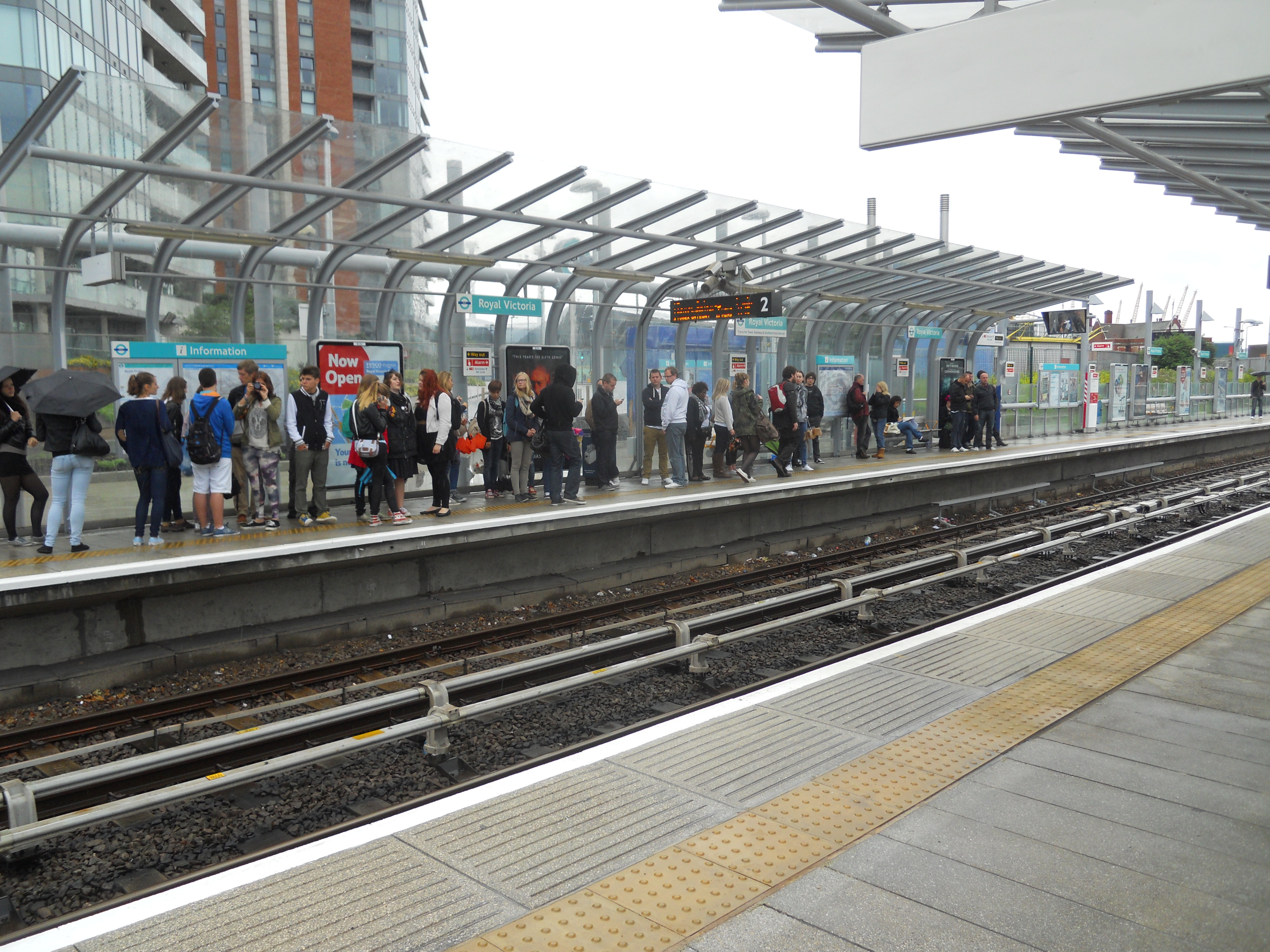
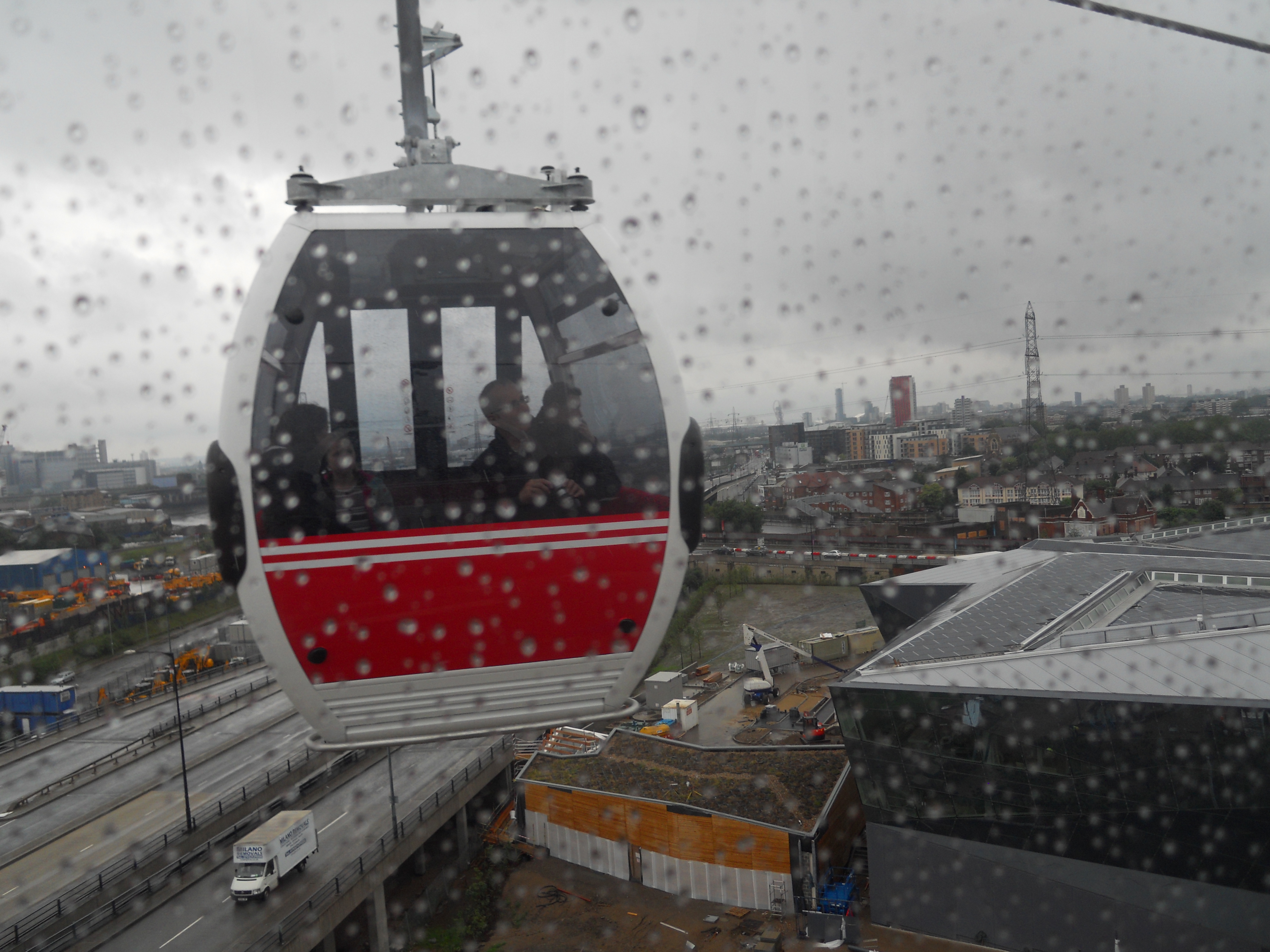
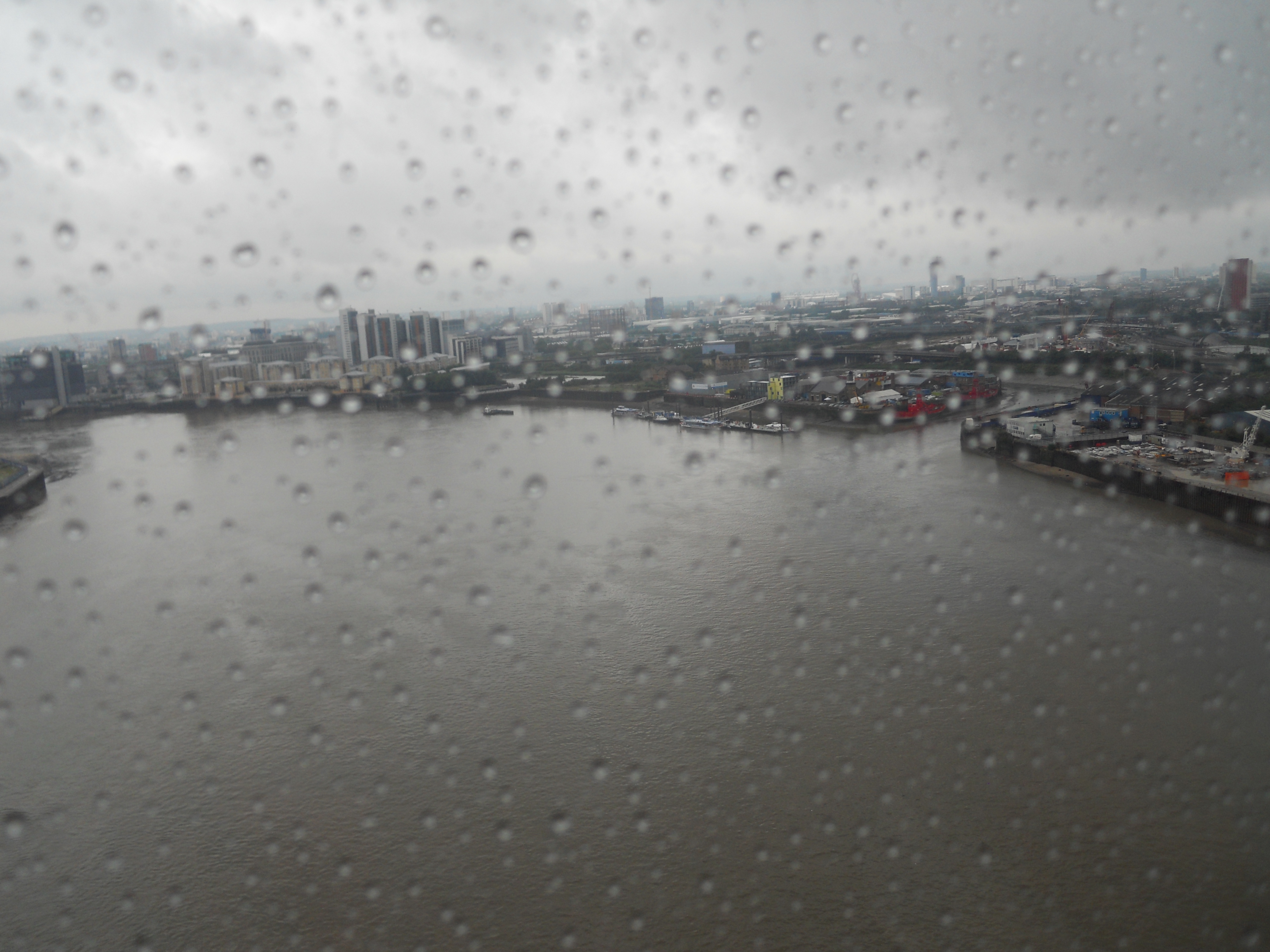
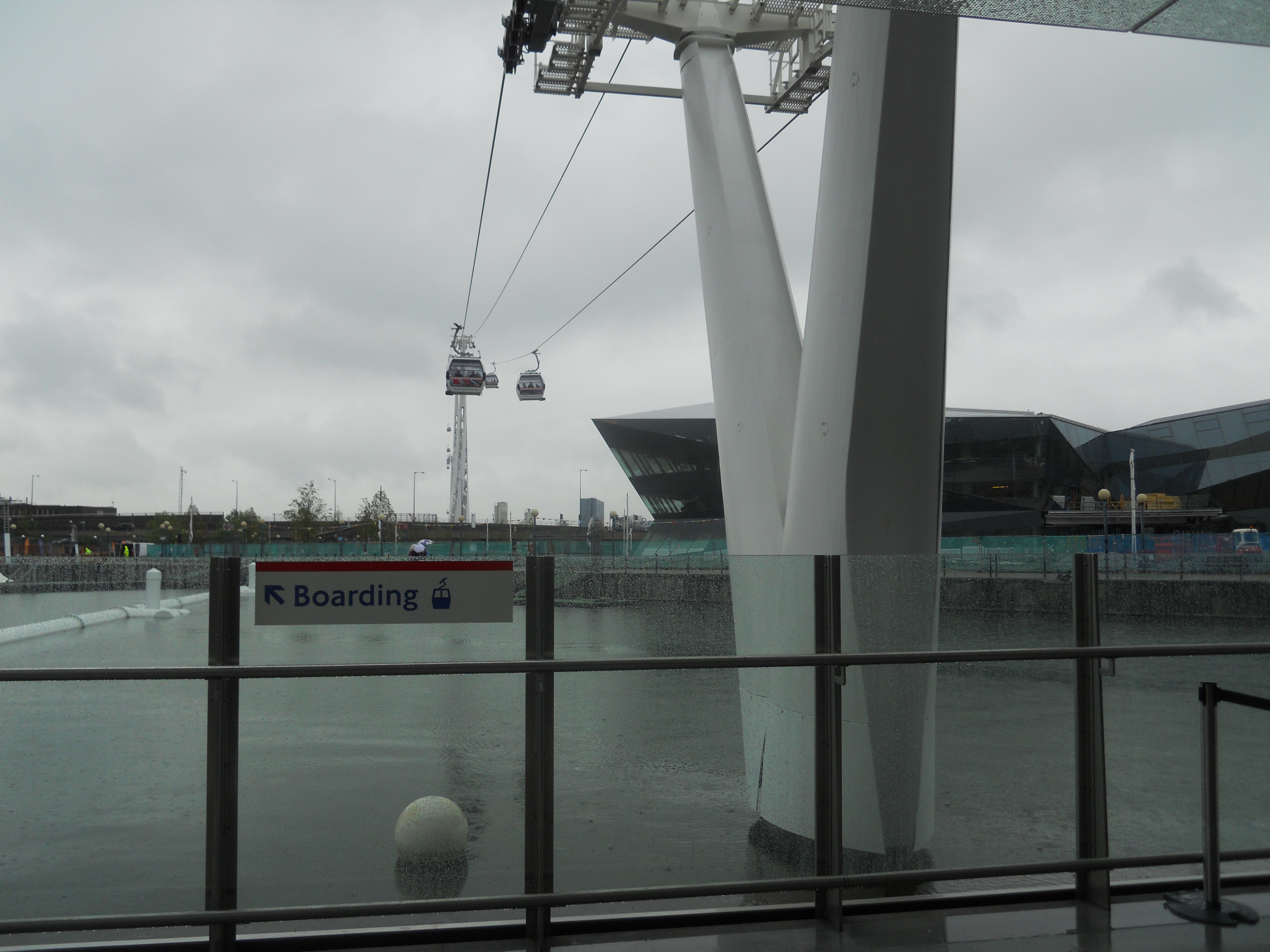
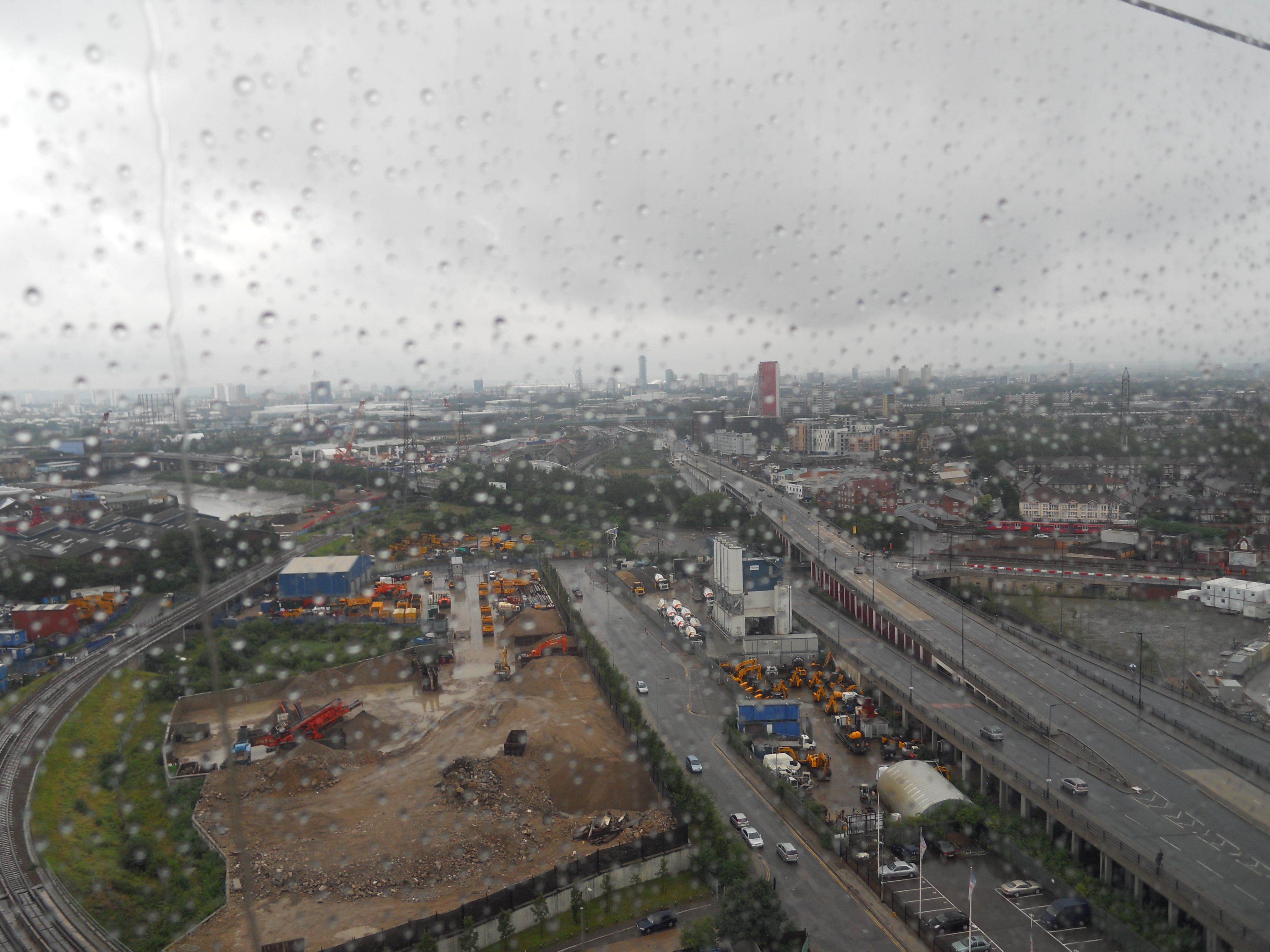
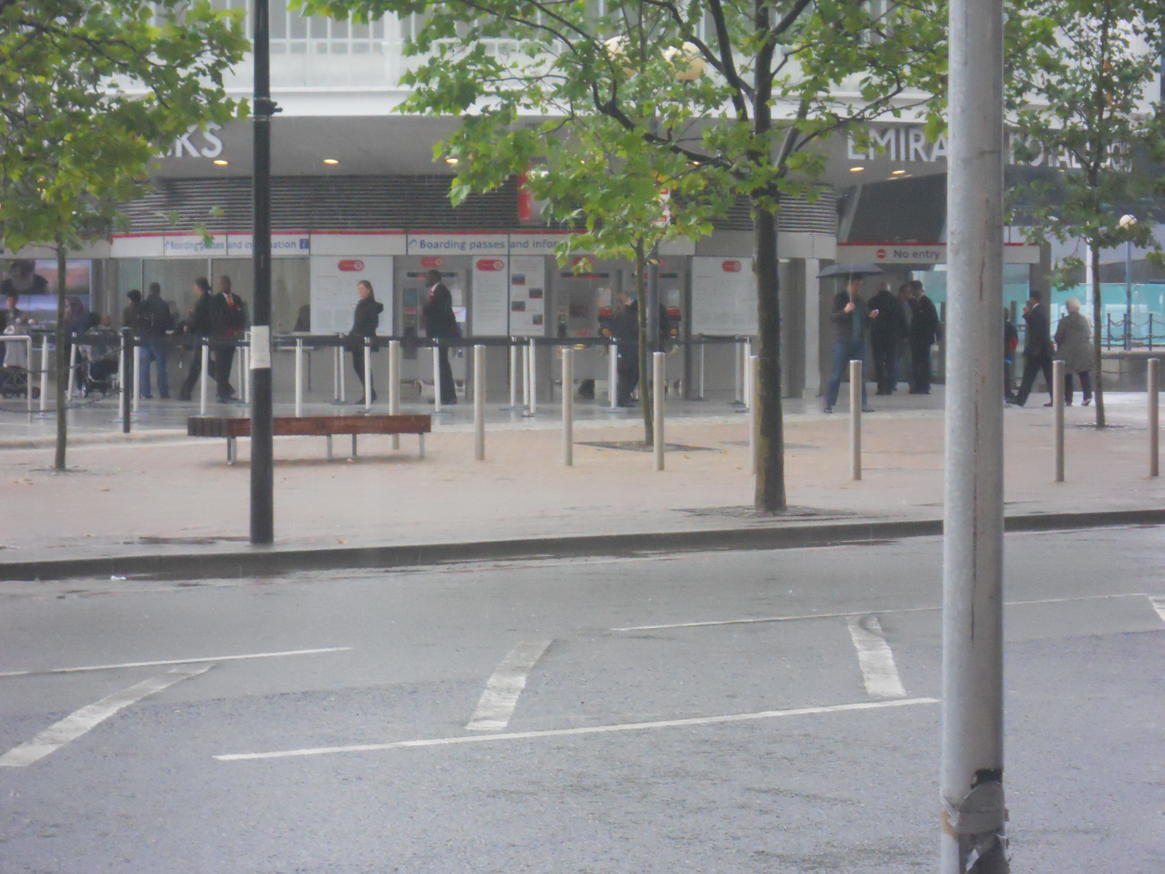
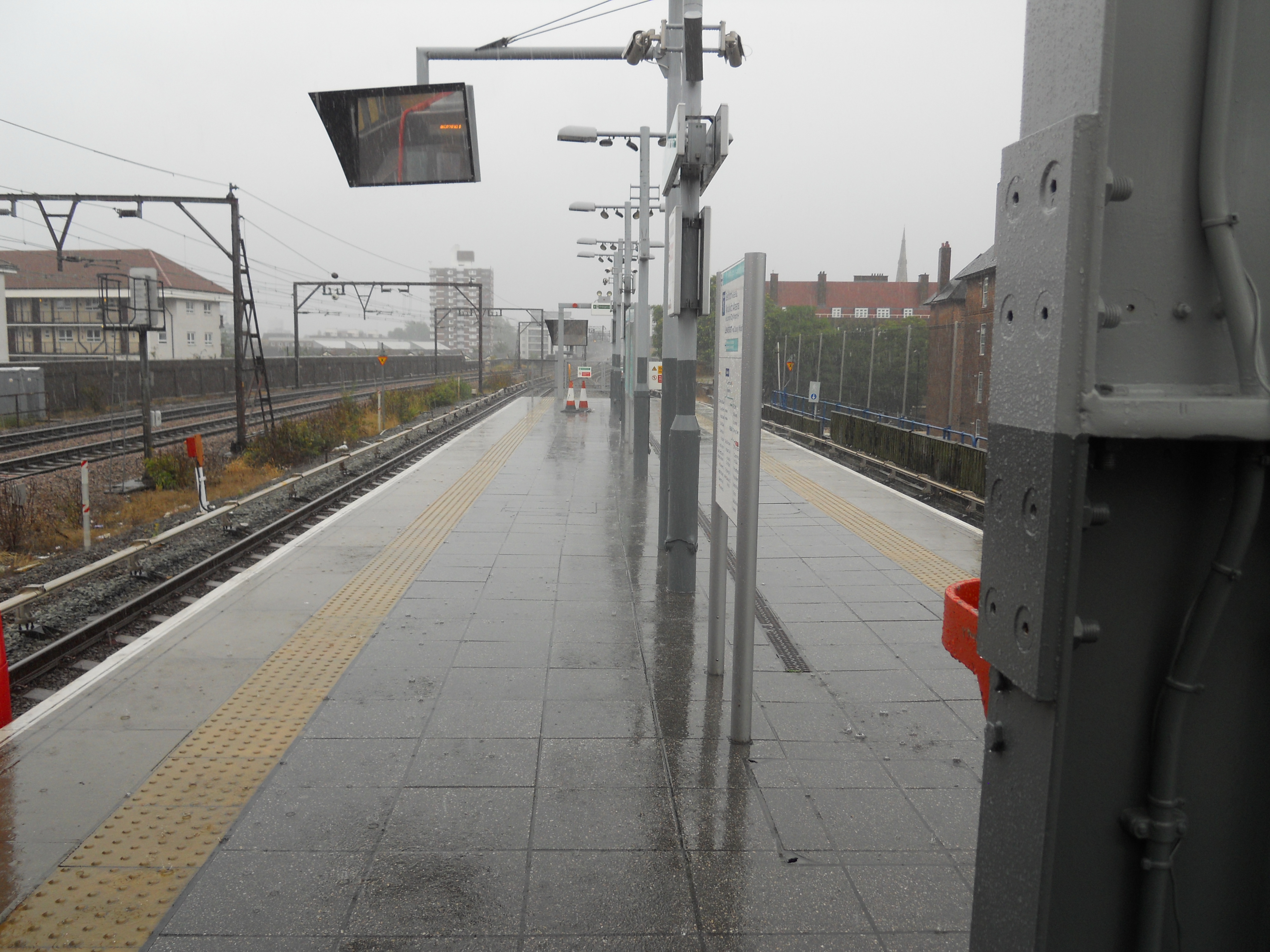
A Morning Trip In The Rain
I’ve been there many times in my past, both as a child and as a parent.
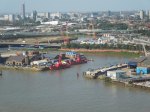
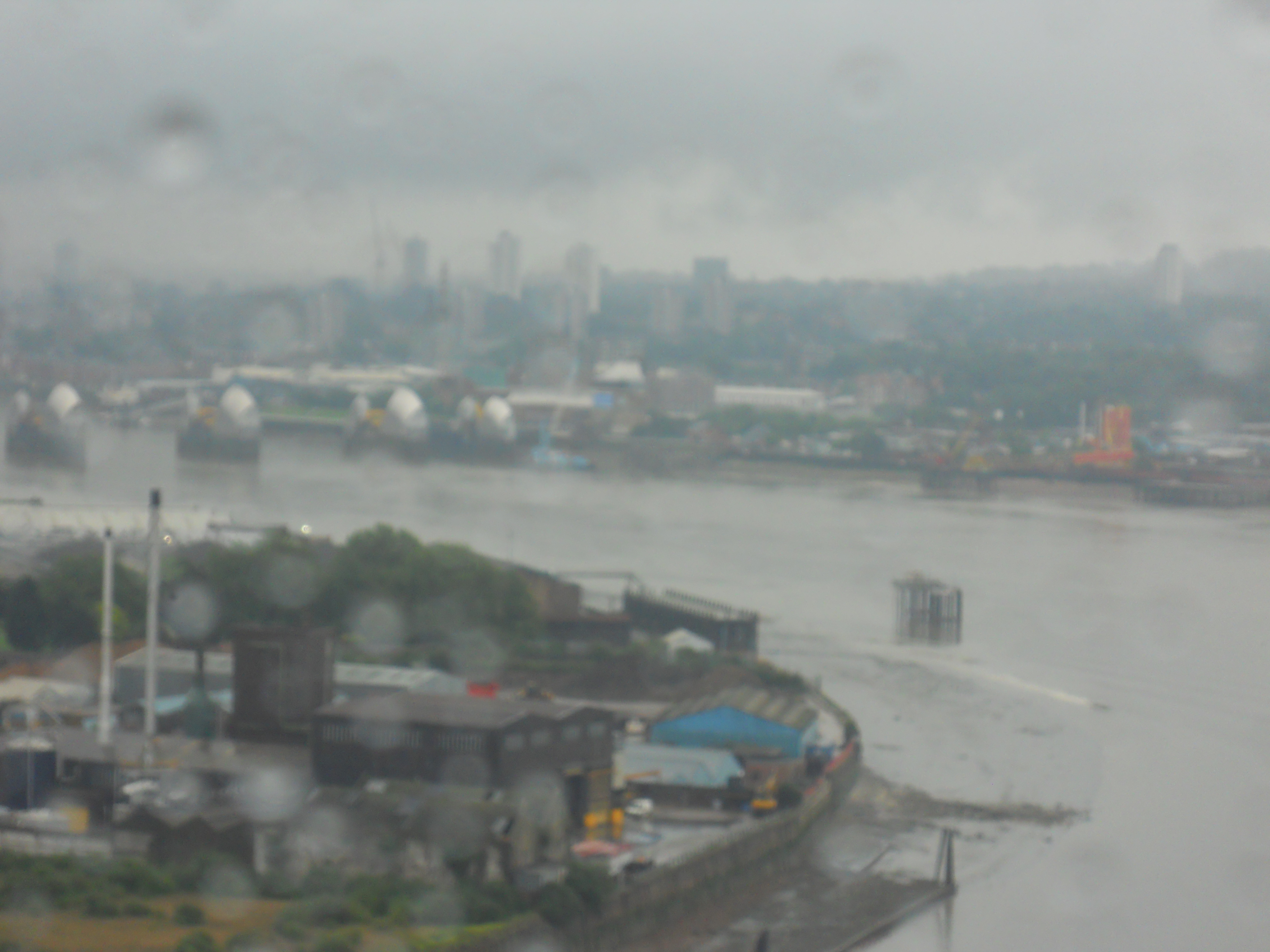
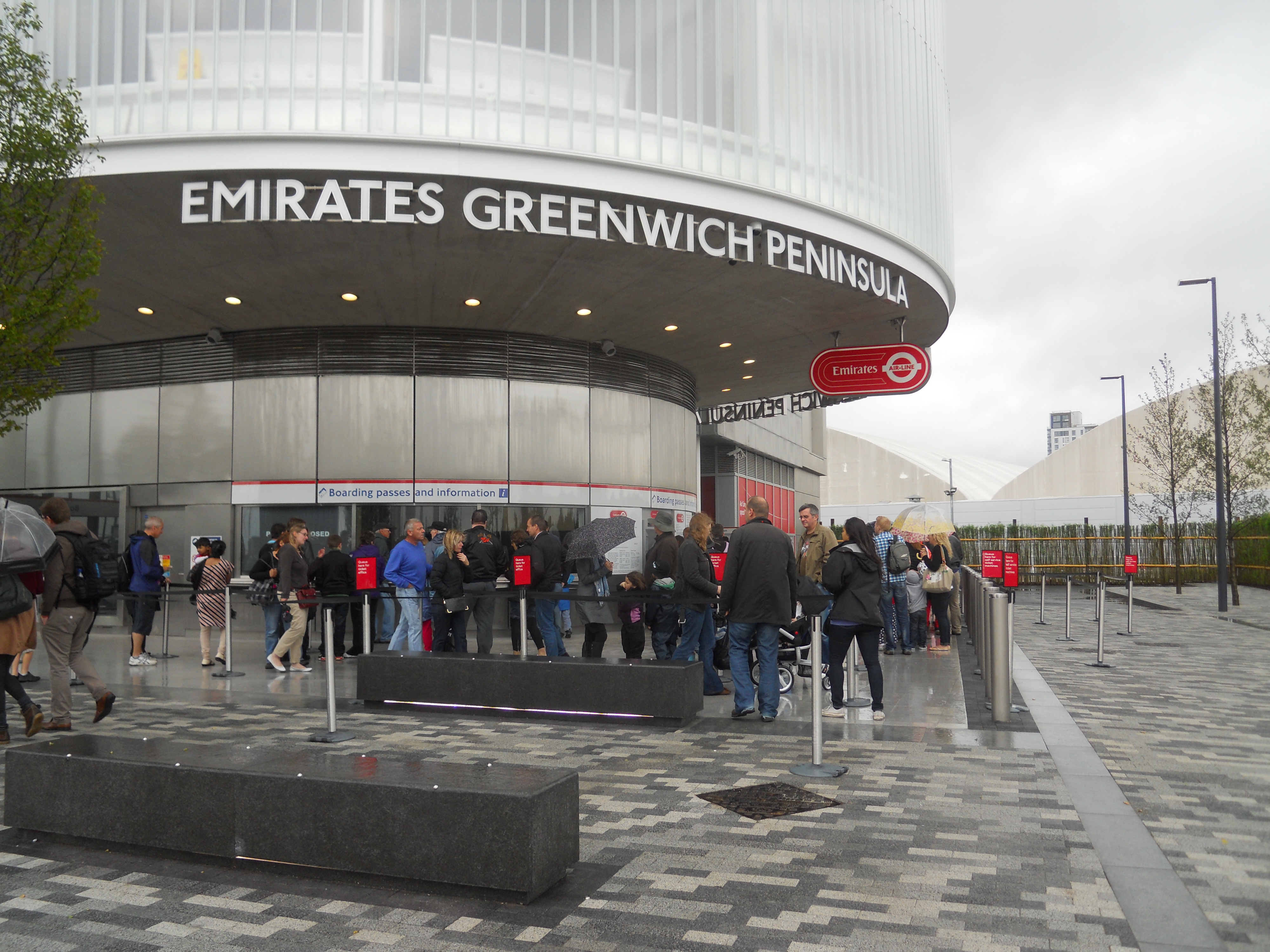
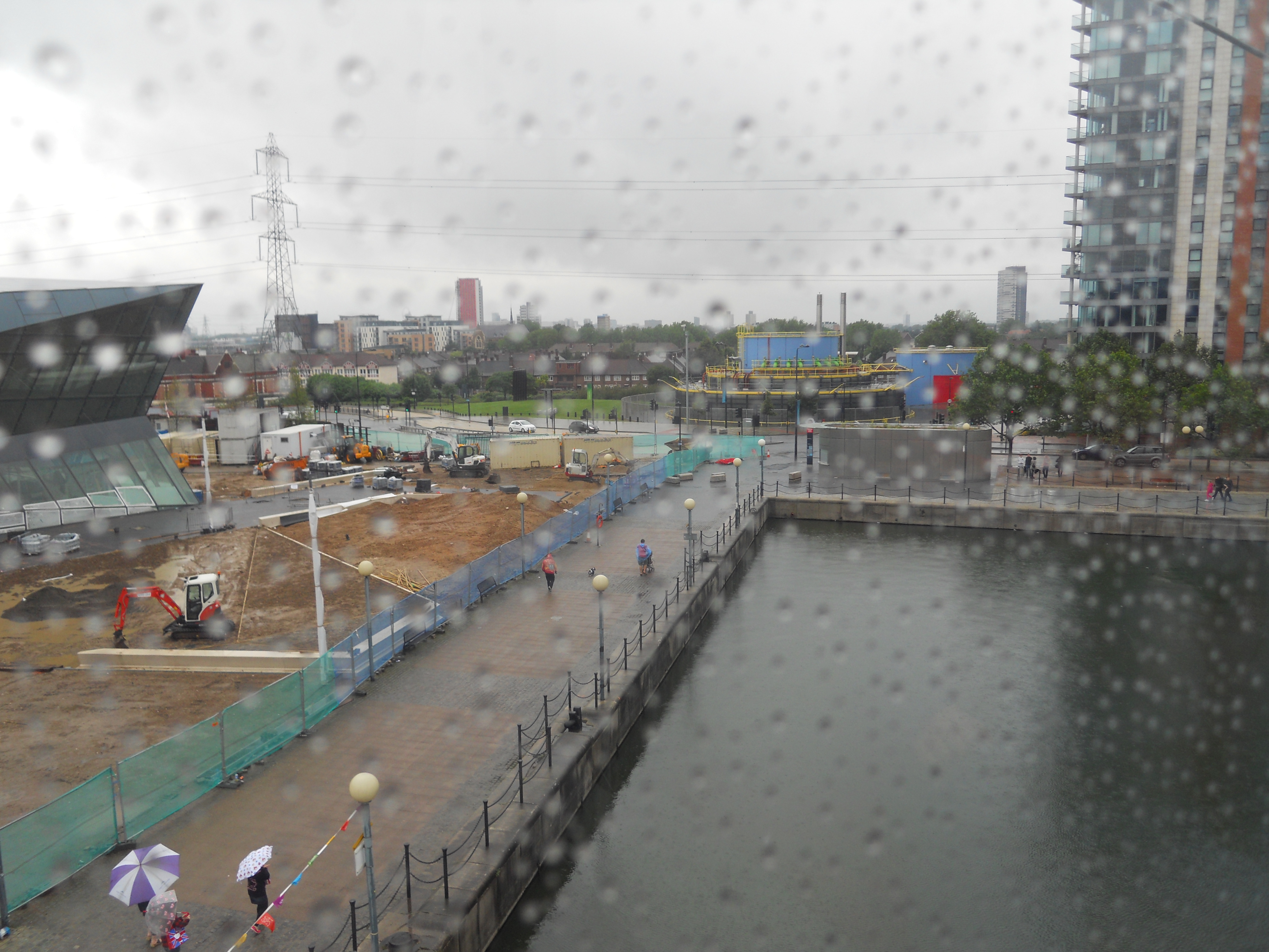
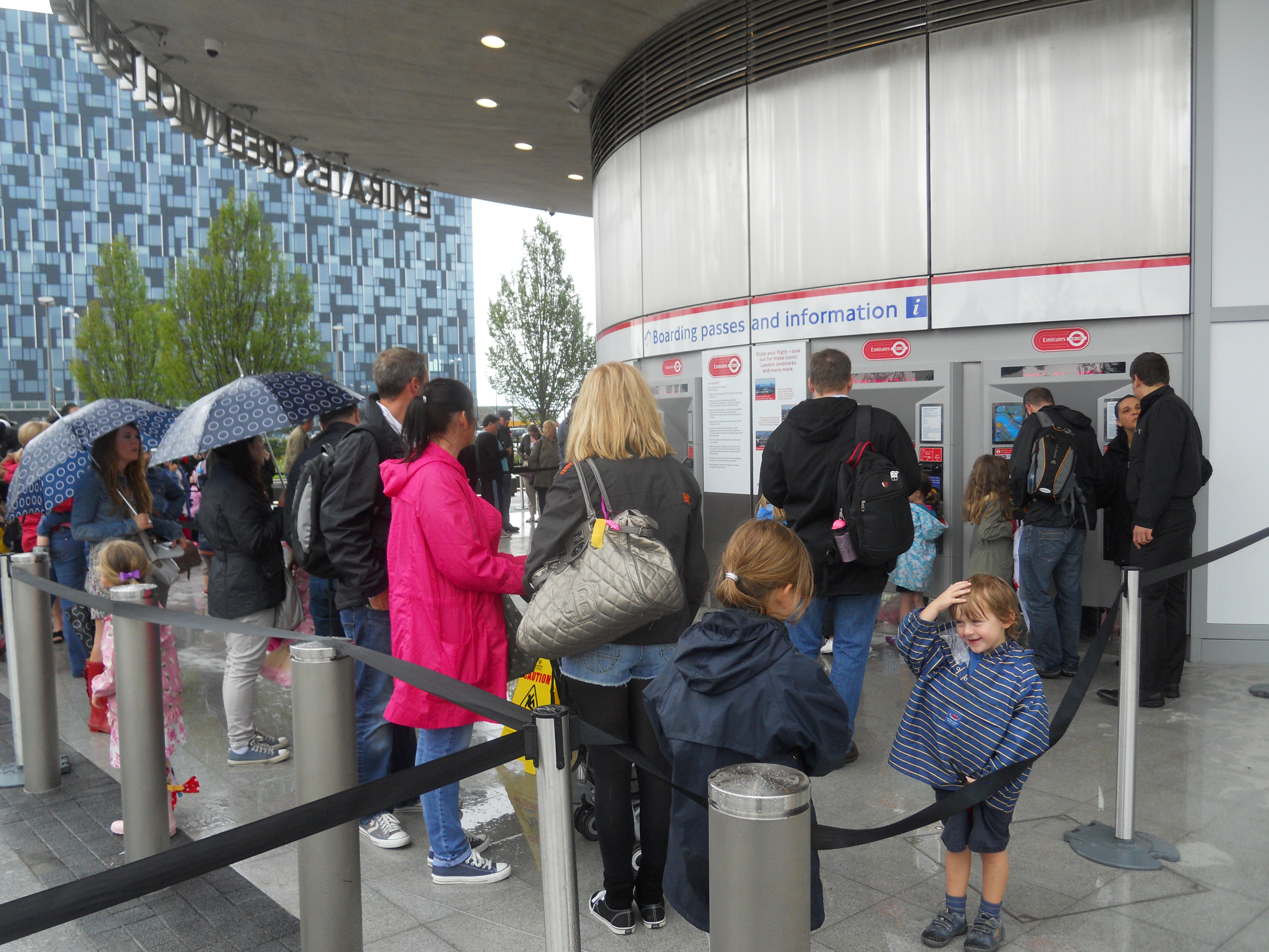
It’s raining, cats, dogs and hippopotami and all of the things to do indoors have been done to death. So this morning, I decided to see what the new Emirates Air-Line is like in the heavy rain.
I took my usual route to the Northern terminal at Royal Victoria DLR station, by taking a bus and a tube to Bank station and then getting the faithful Docklands Light Railway. Is there a railway anywhere in the world, that was built as on-the-cheap as the DLR, that has morphed so successfully from an ugly duckling into a swan? Or possibly in the DLR’s case to a whole game of swans.
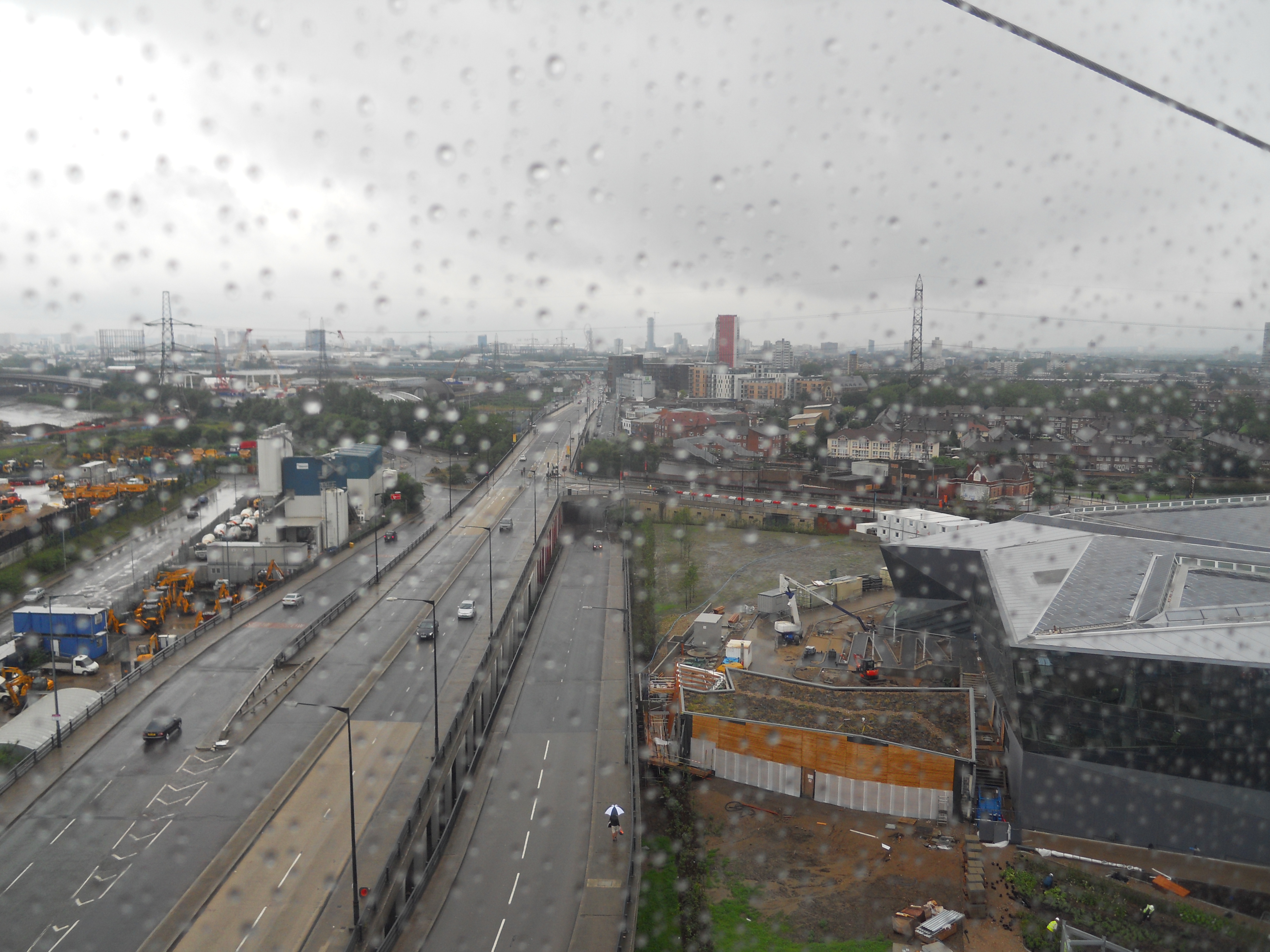
Even on the short trip from Bank to Royal Victoria, there is much to see, like the expensive yachts, housing and offices, the many spires of the East End and mud flats, factories and construction of the River Lea. It is a trip that delights most children.
I took these pictures on the way to Royal Victoria, during the crossing and then at North Greenwich.


Afterwards, I took the Jubilee line to Canary Wharf for a late Full Italian breakfast at Carluccio’s.
So was it a worthwhile trip? And would it be with young children?
- I only got wet walking between Royal Victoria DLR station and the cable-car and between the cable-car and North Greenwich tube station.
- The queues were less than last Sunday and marginally worse at North Greenwich. Is that because there’s parking on the South bank of the river.
- The view from the gondola wasn’t too bad at all. Is the glass treated with a water repellant?
So on balance, a trip in the rain, may even have an advantage in that the crowds are smaller and you don’t have to wait.
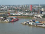
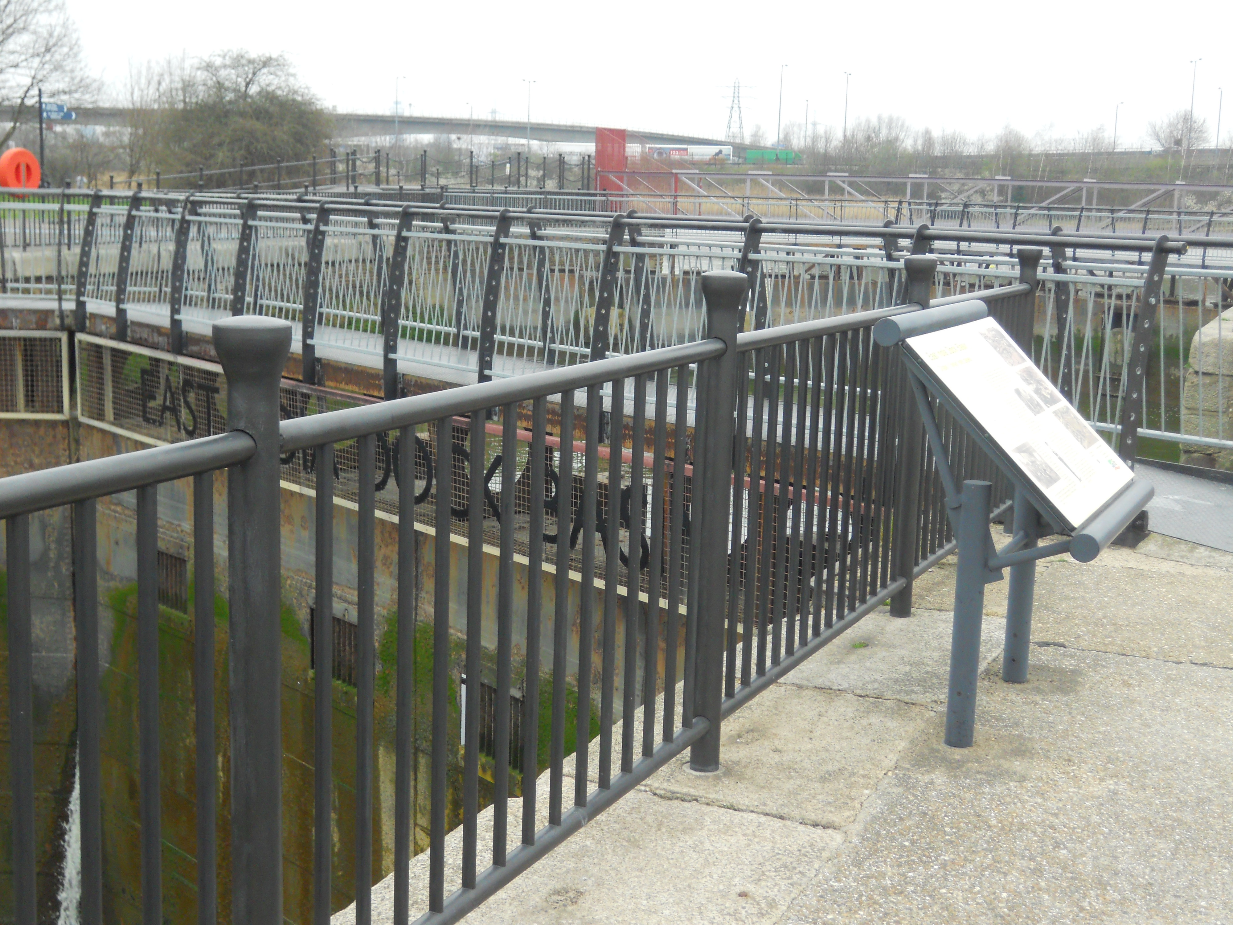
The East India Dock Basin
Travelling towards the River Thames, you come to the East India Dock Basin, which is now a nature reserve, is described here.
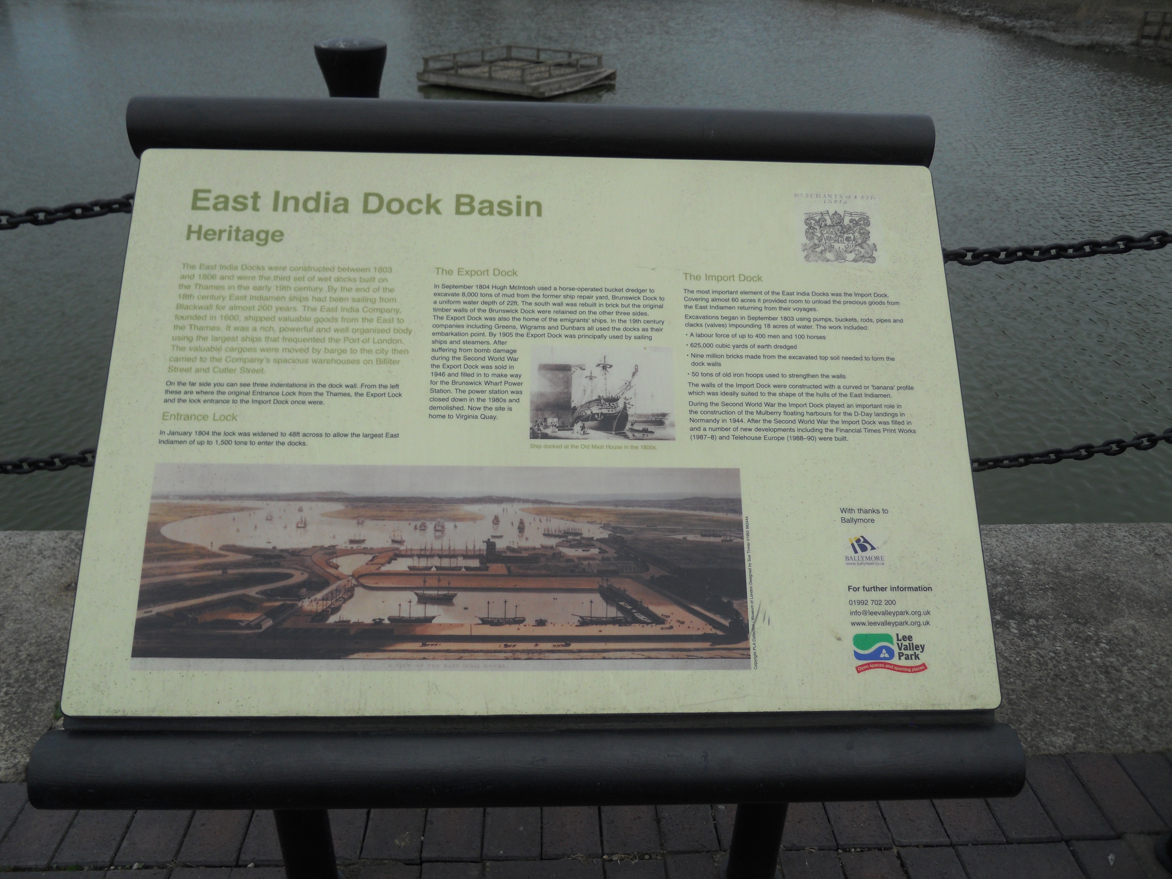
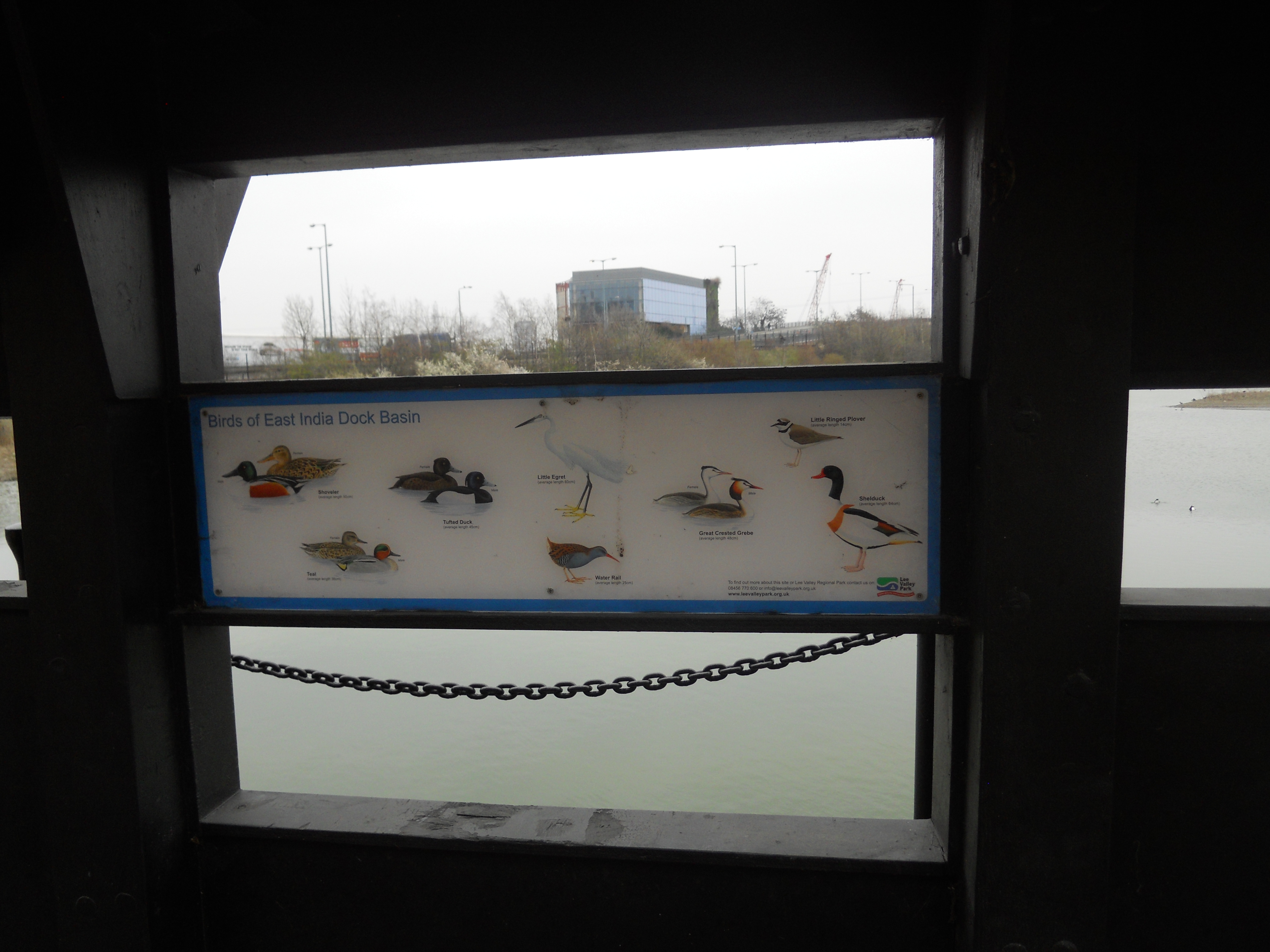

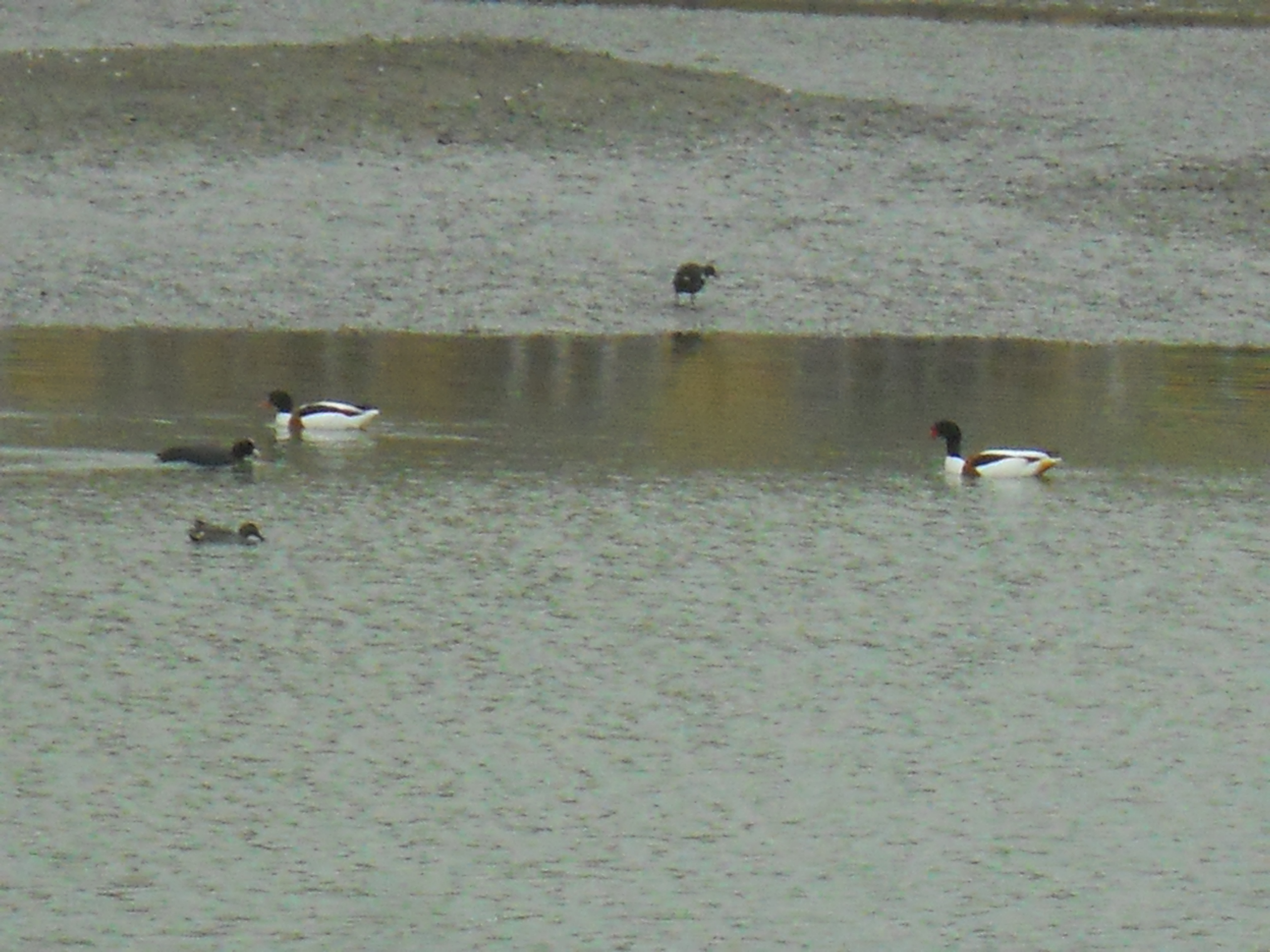

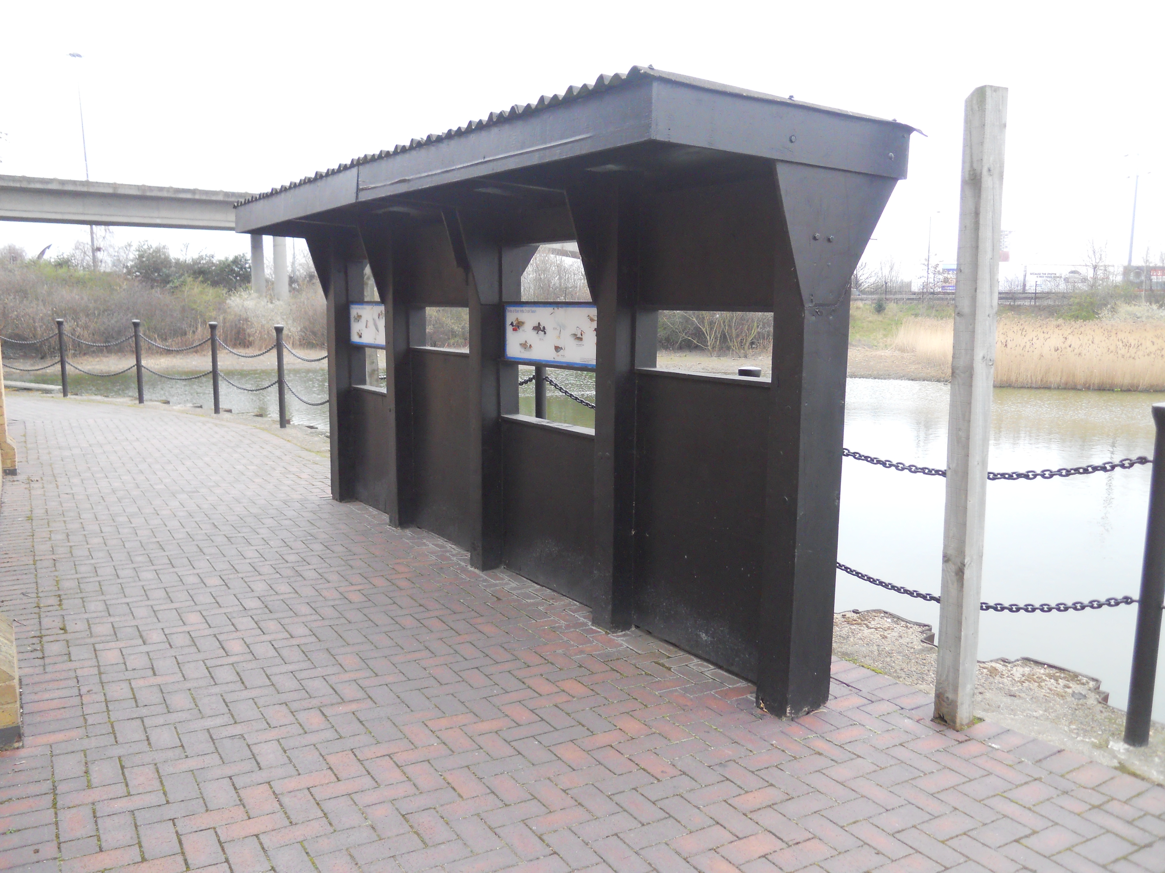
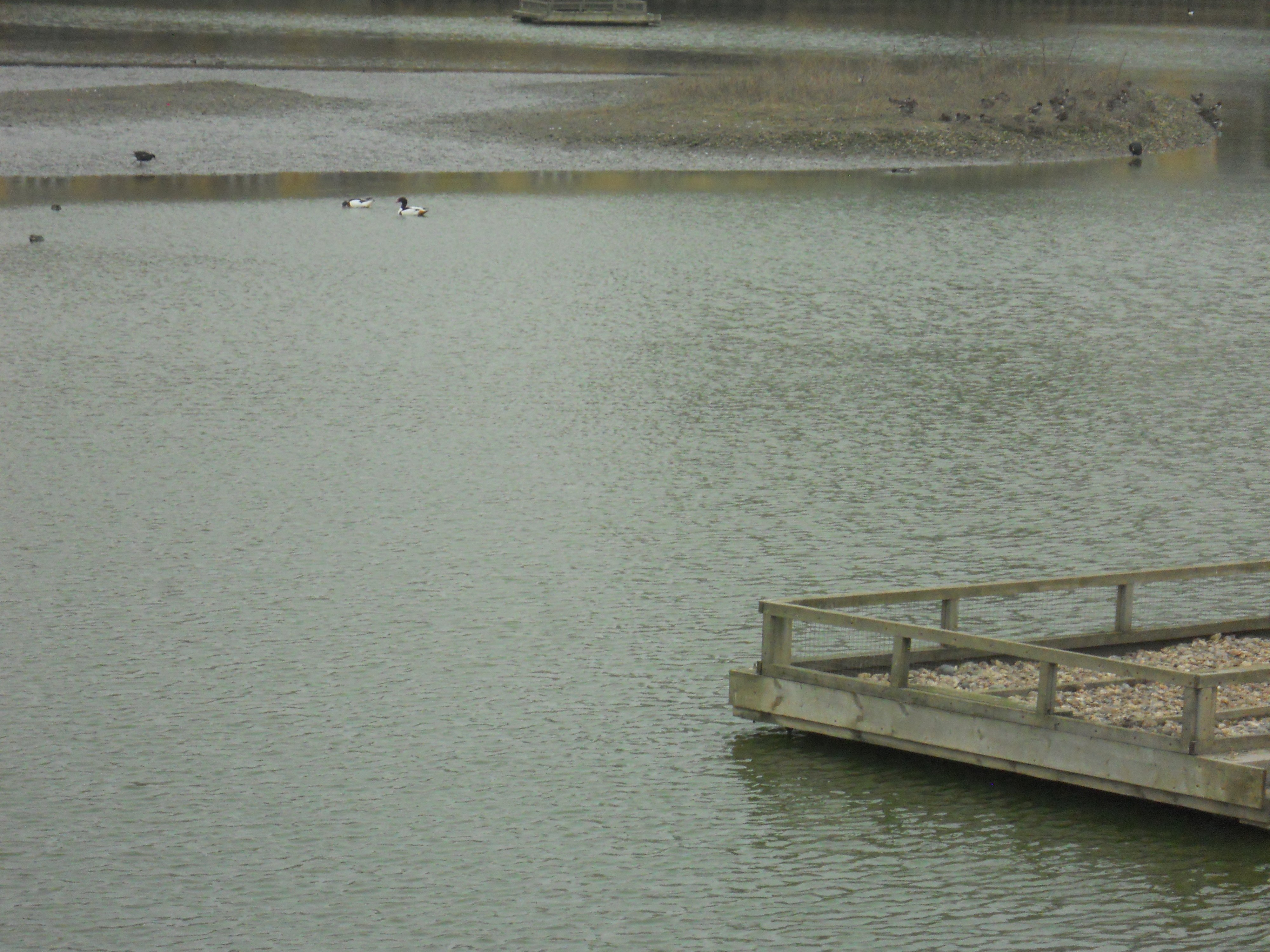
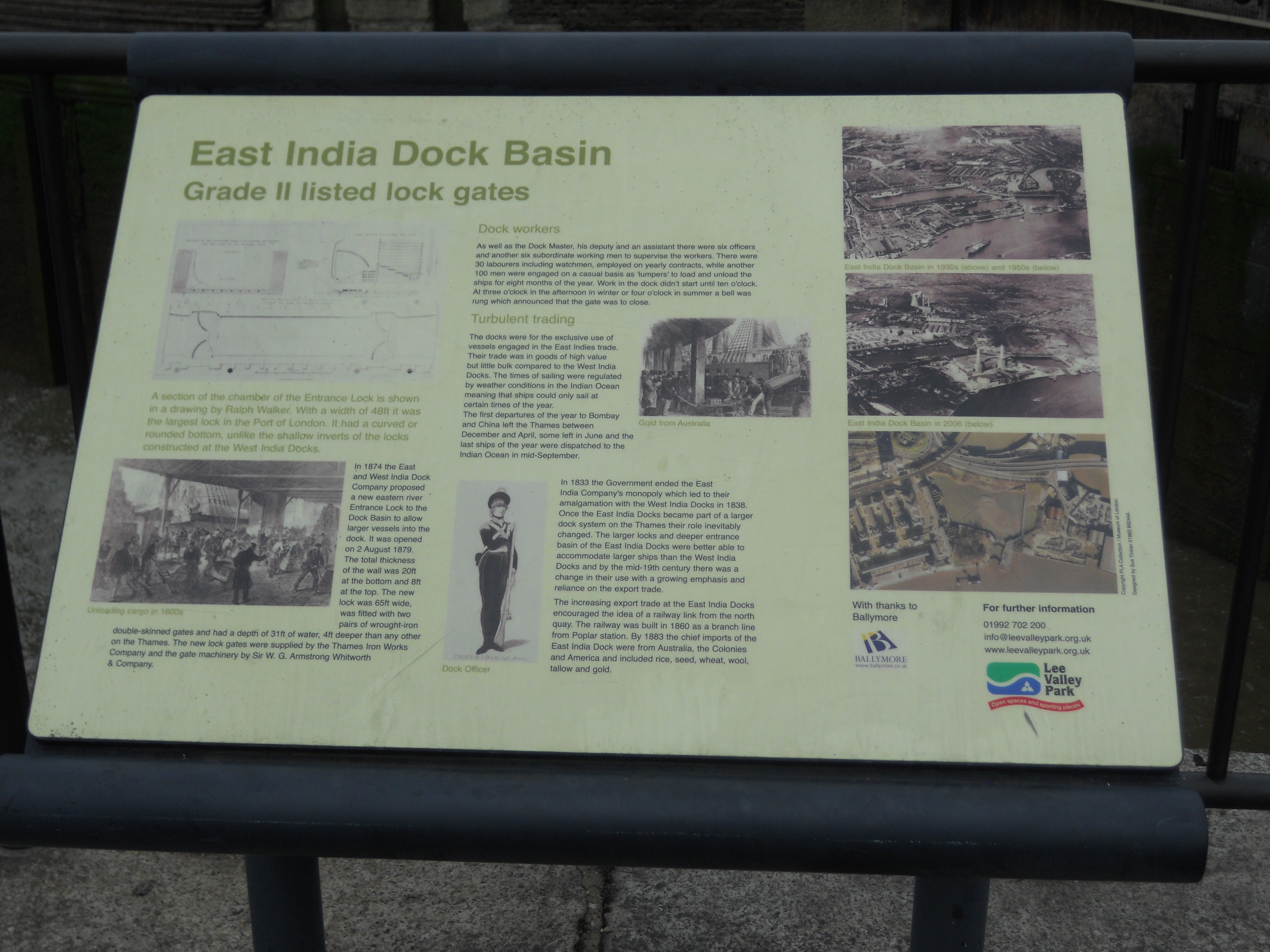
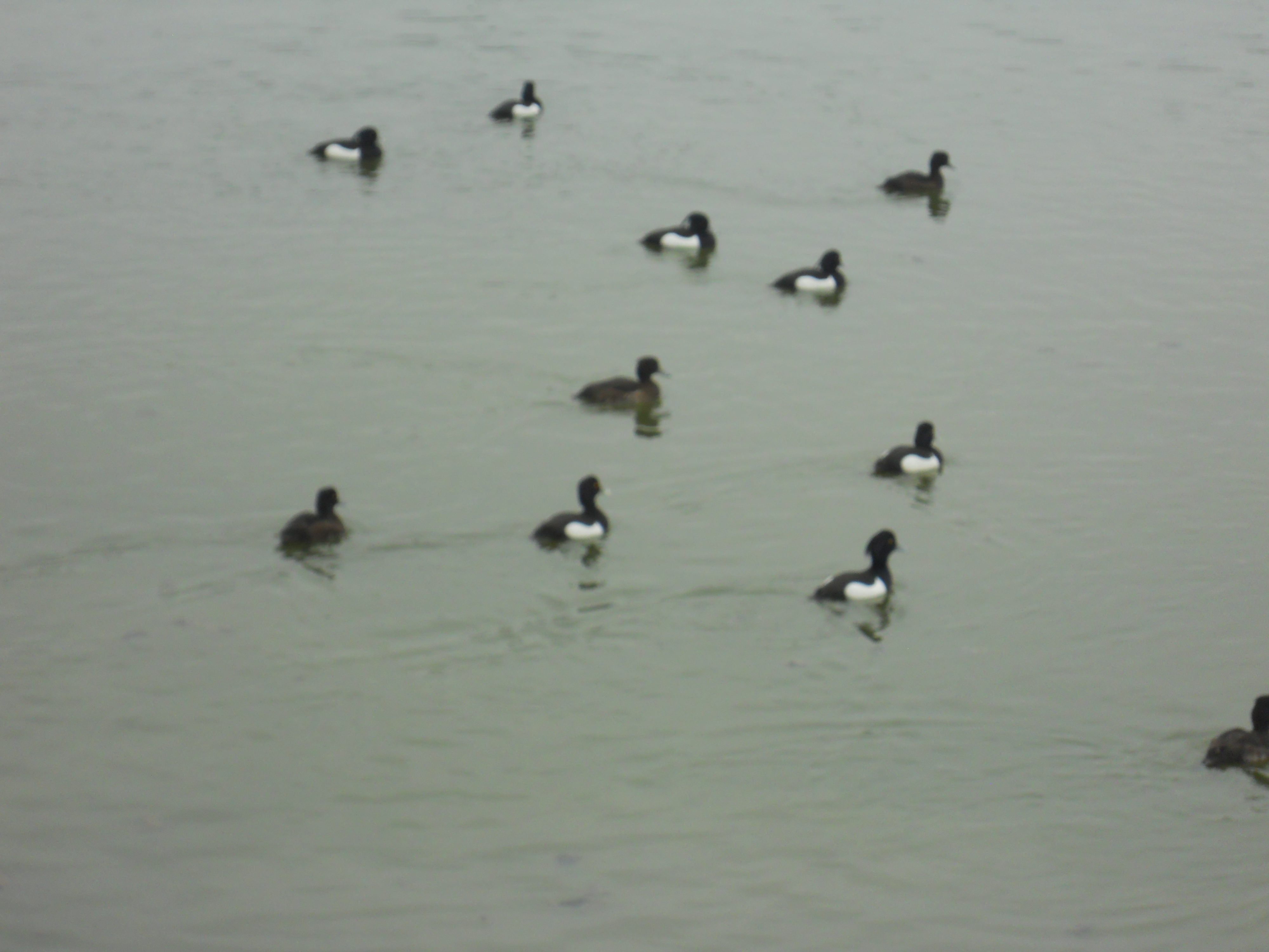
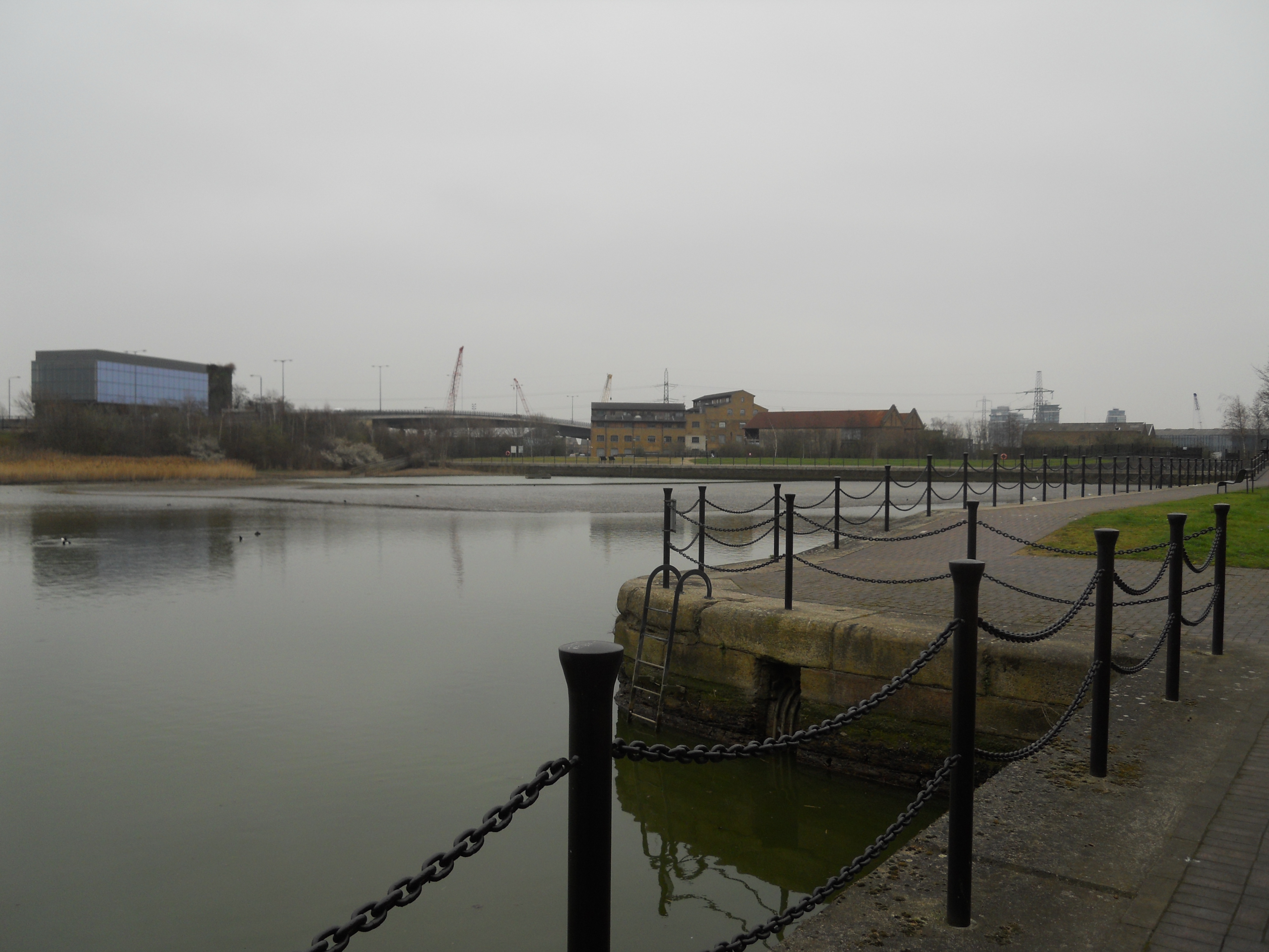
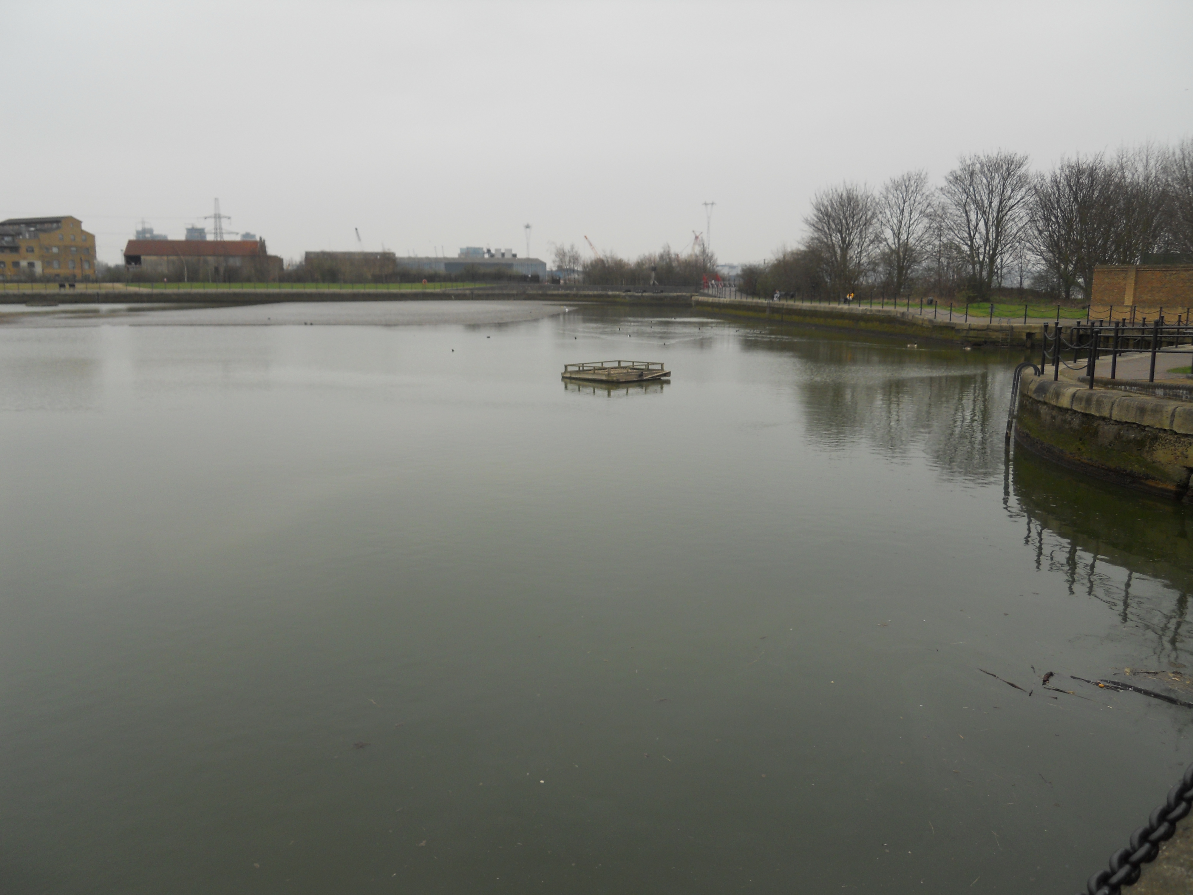
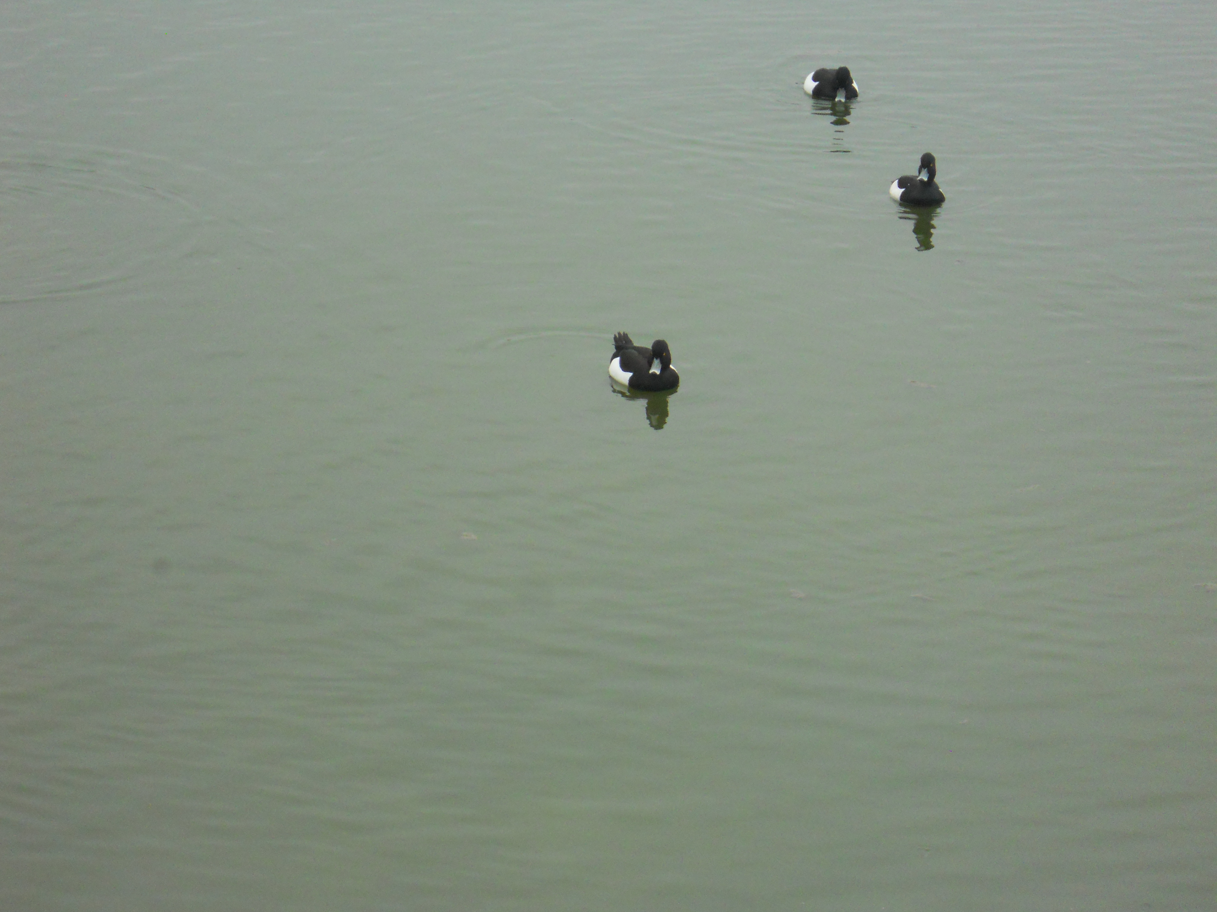

As you can see, it is well-laid out and has good views of the River Thames. The island in the middle of the basin is growing using the same method that salt marshes do in places like Norfolk. There were quite a few birds about with sheld-duck, tufted duck and coot easily spotted. Apparently, there’s a local kingfisher too! There is a lot of good information. What would Jack Dash have thought?
There are plenty of places to sit and considering how close it is to the end of the 277 bus route and East India station on the DLR, it’s an ideal spot to go for a picnic.
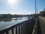
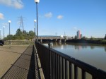
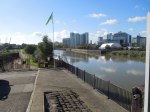
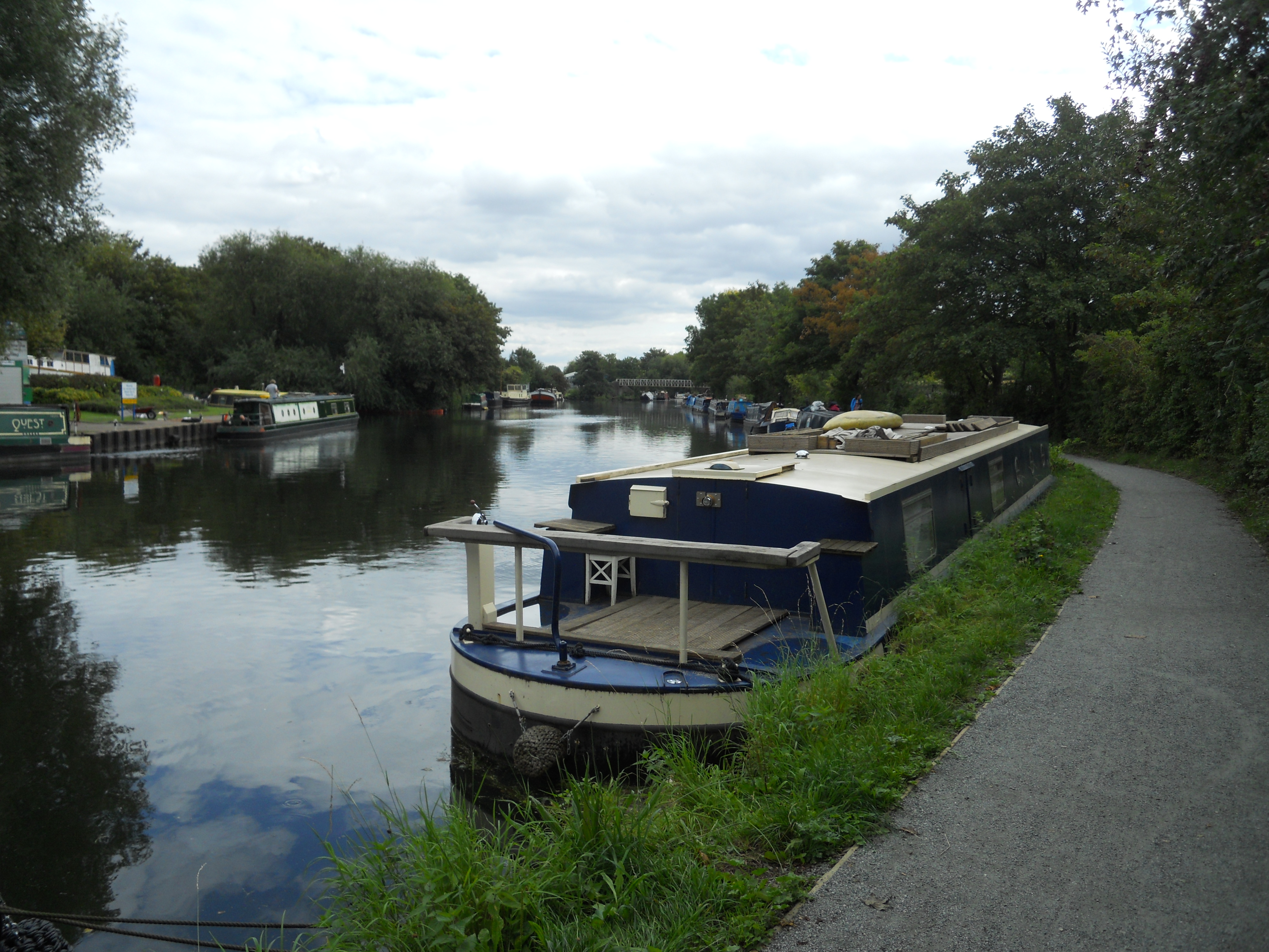
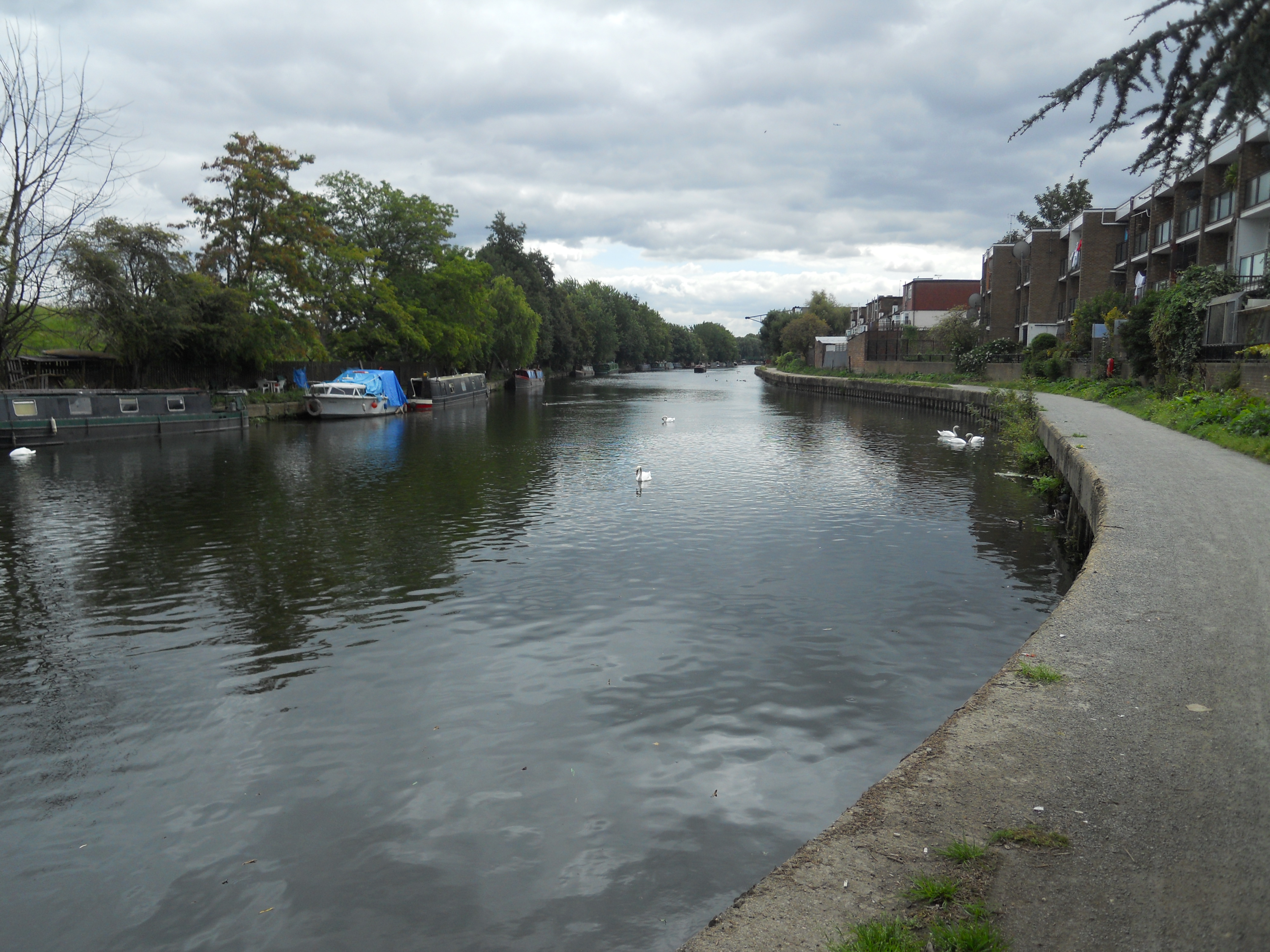
The Southern End of the River Lea
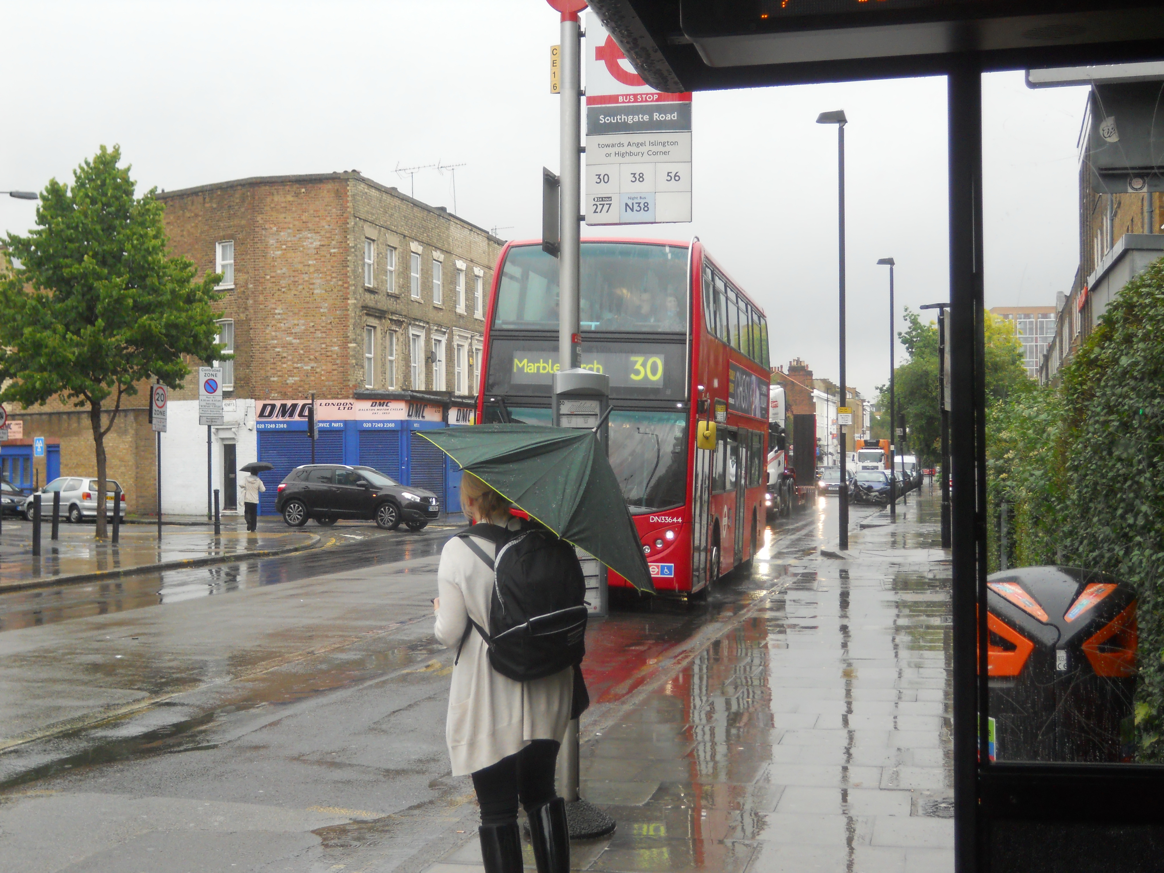
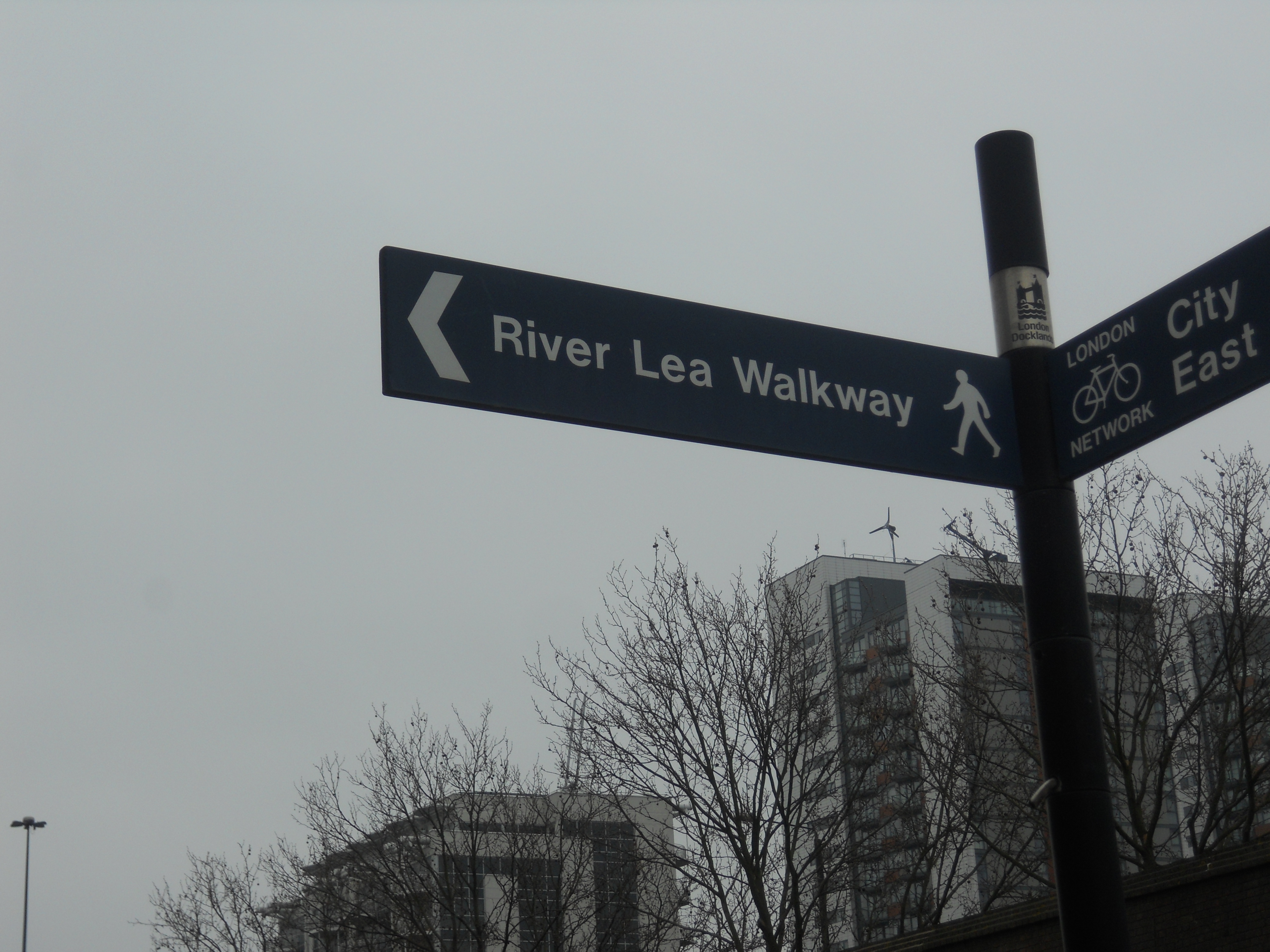
The River Lea meanders its way into the Thames in a rather lackadaisical way. Today I took the 277 bus all the way to Leamouth and followed the signs behind the Esso garage. I’m mentioning the garage as it seems to crop up in a lot of directions.
A sign pointed me to the River Lea Walk and a couple of minutes later I was there.
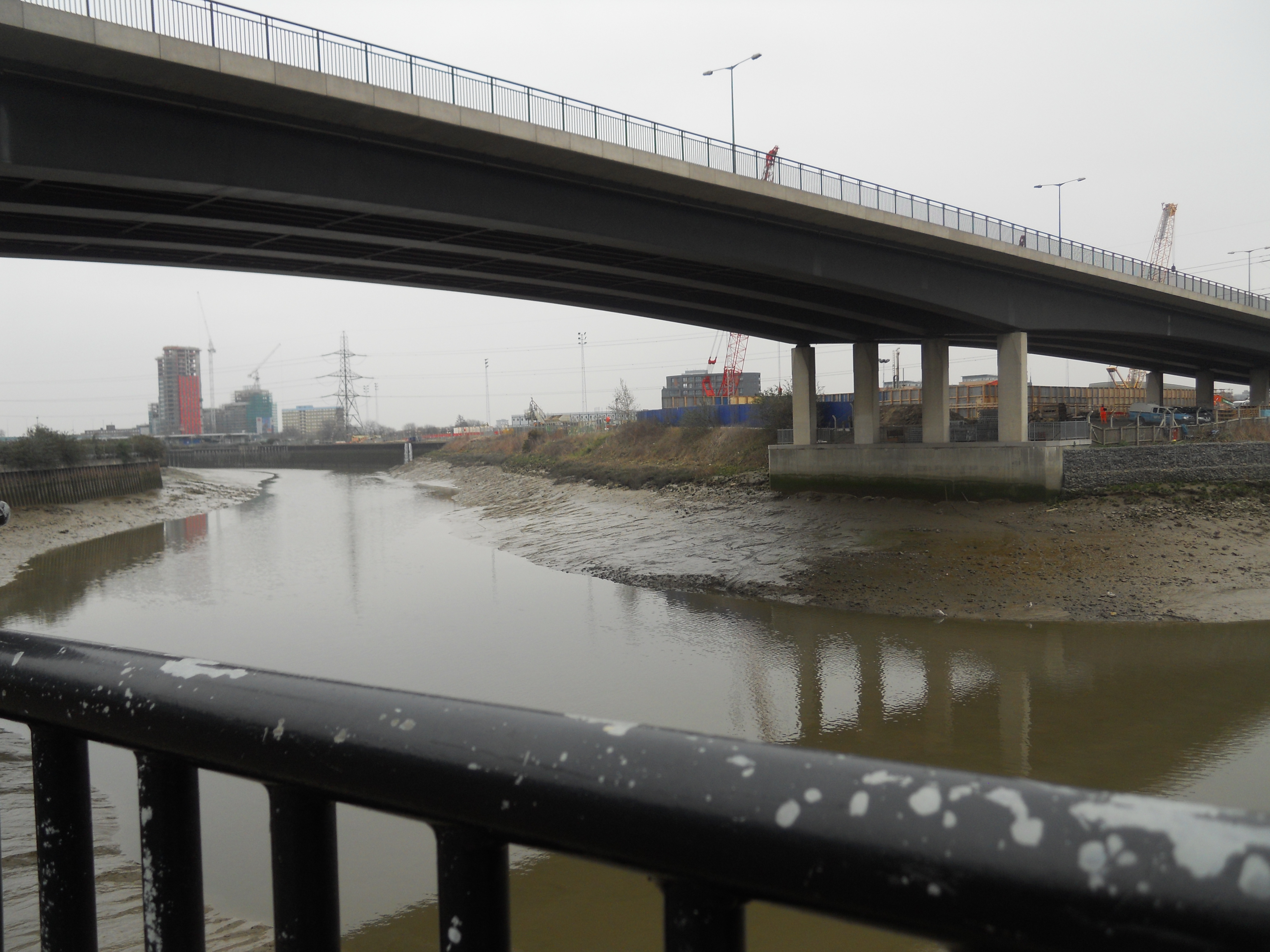
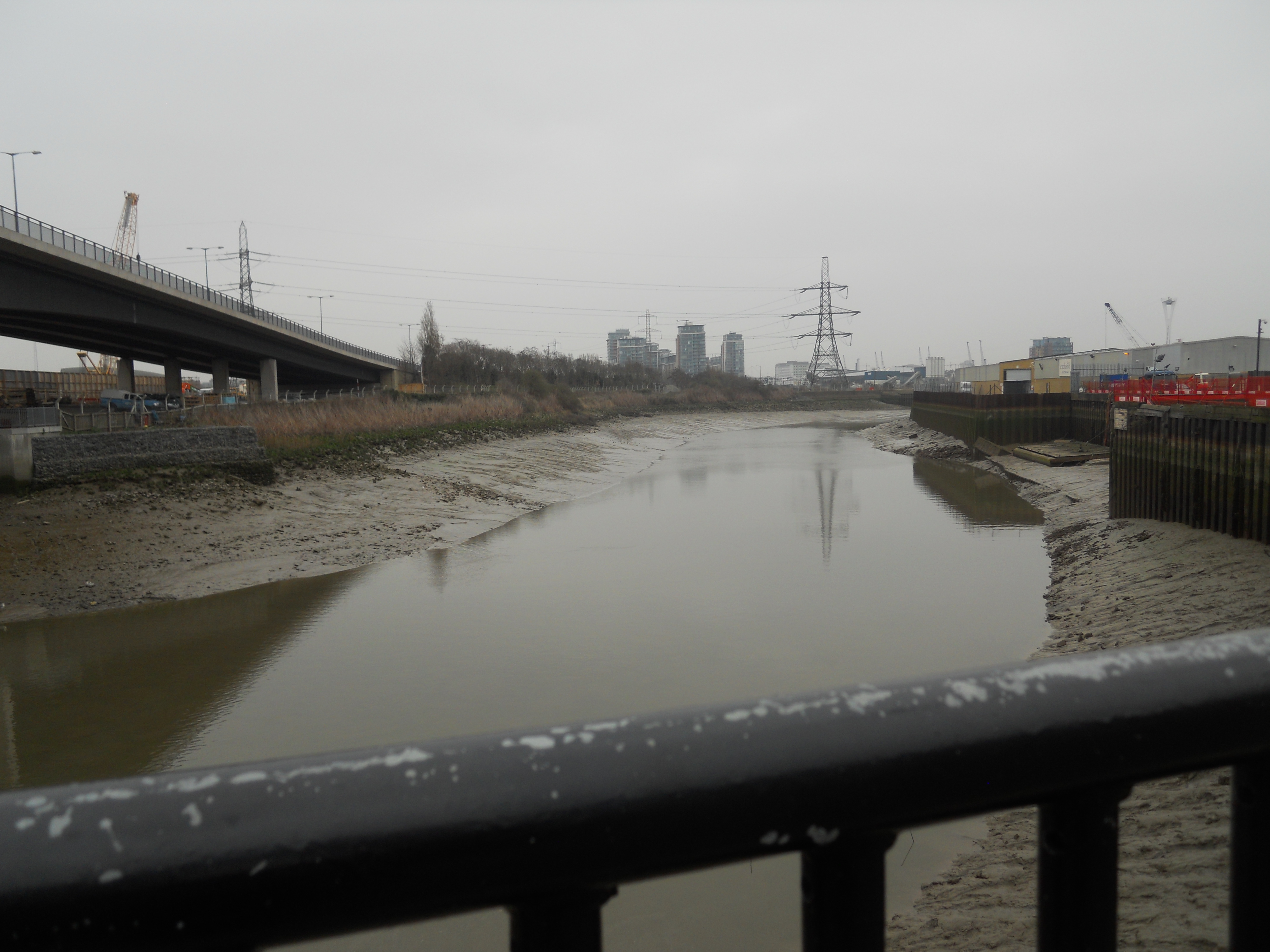
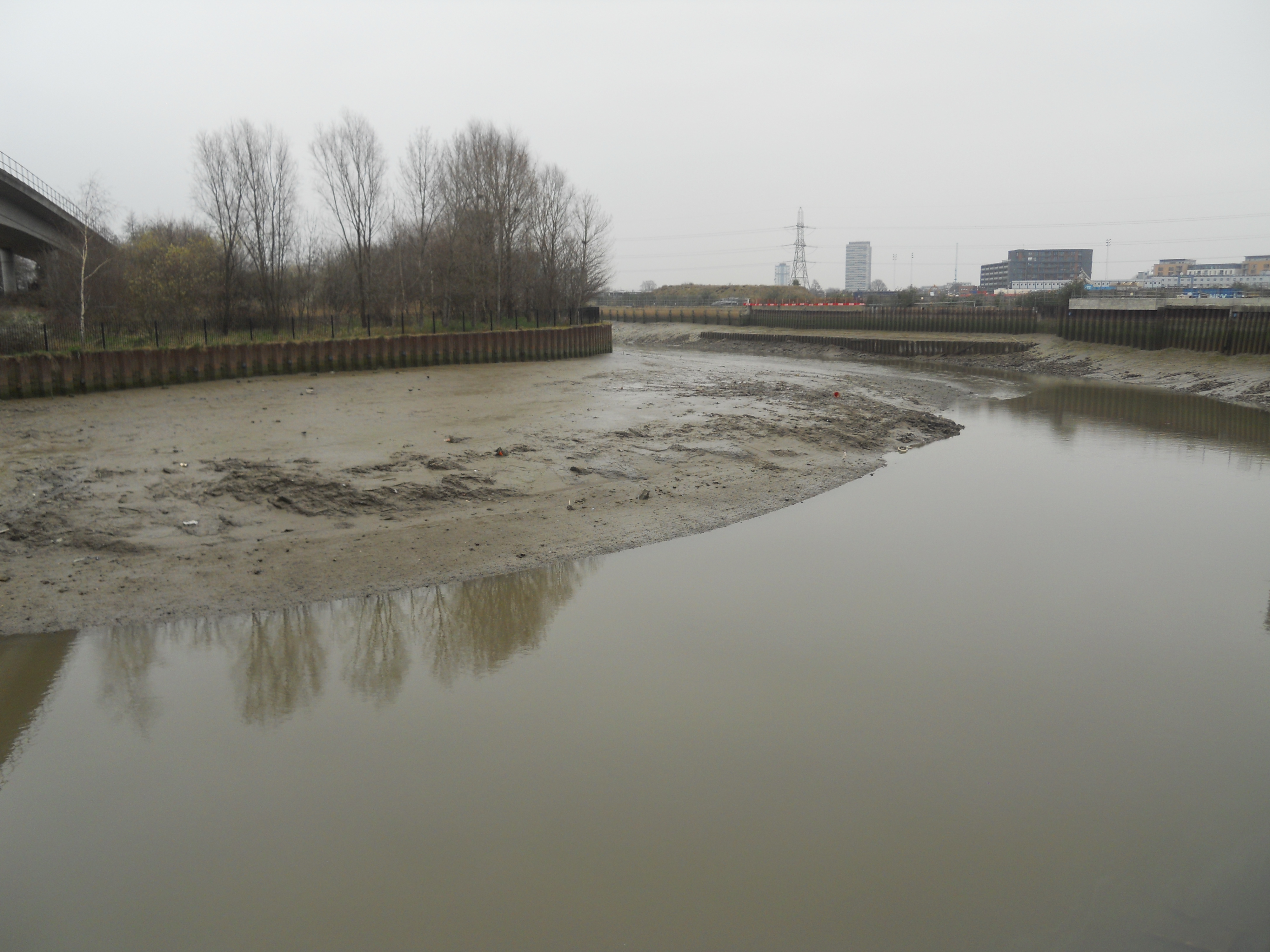
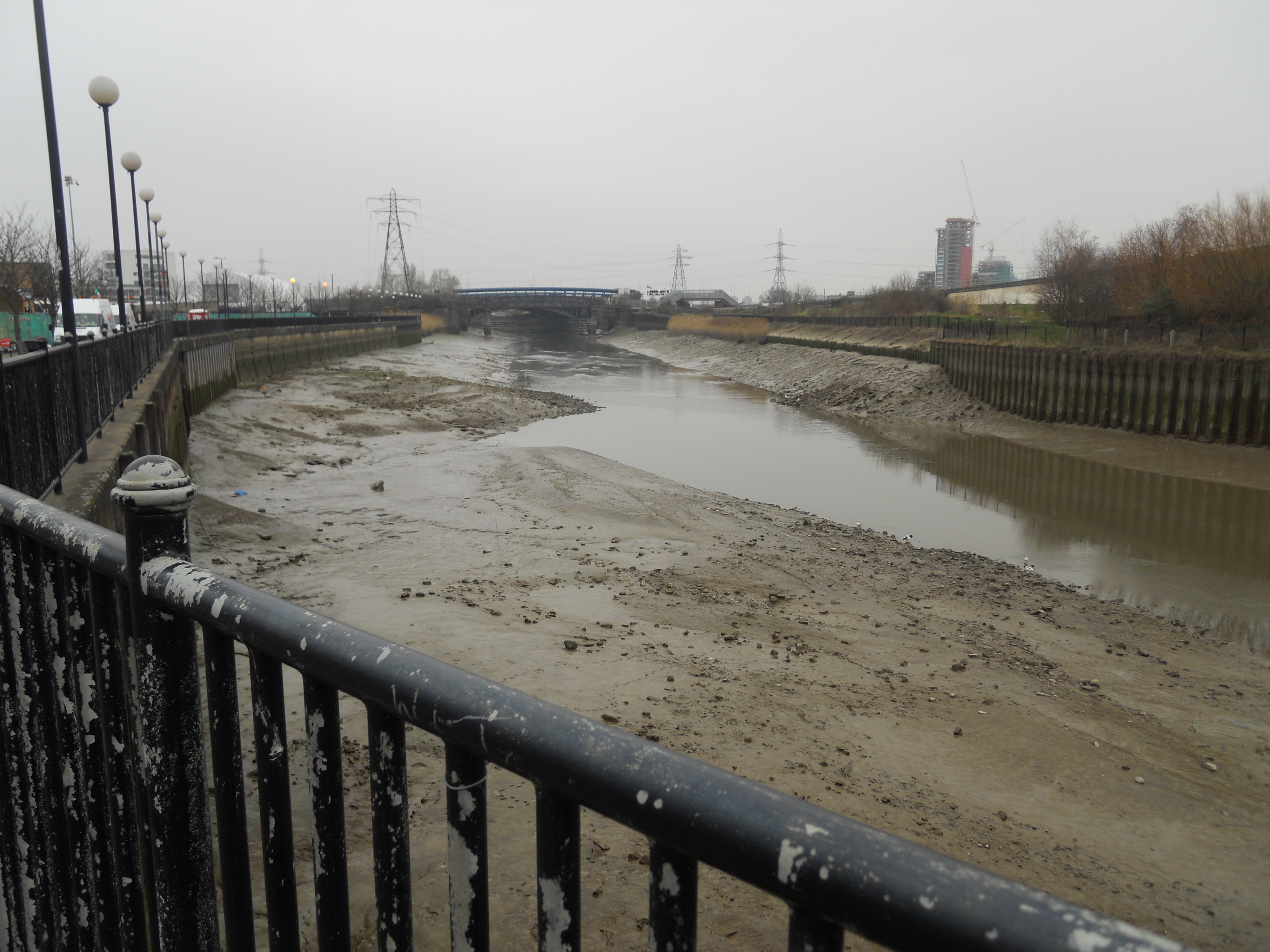
These pictures show that The Lea isn’t the most attractive of rivers.
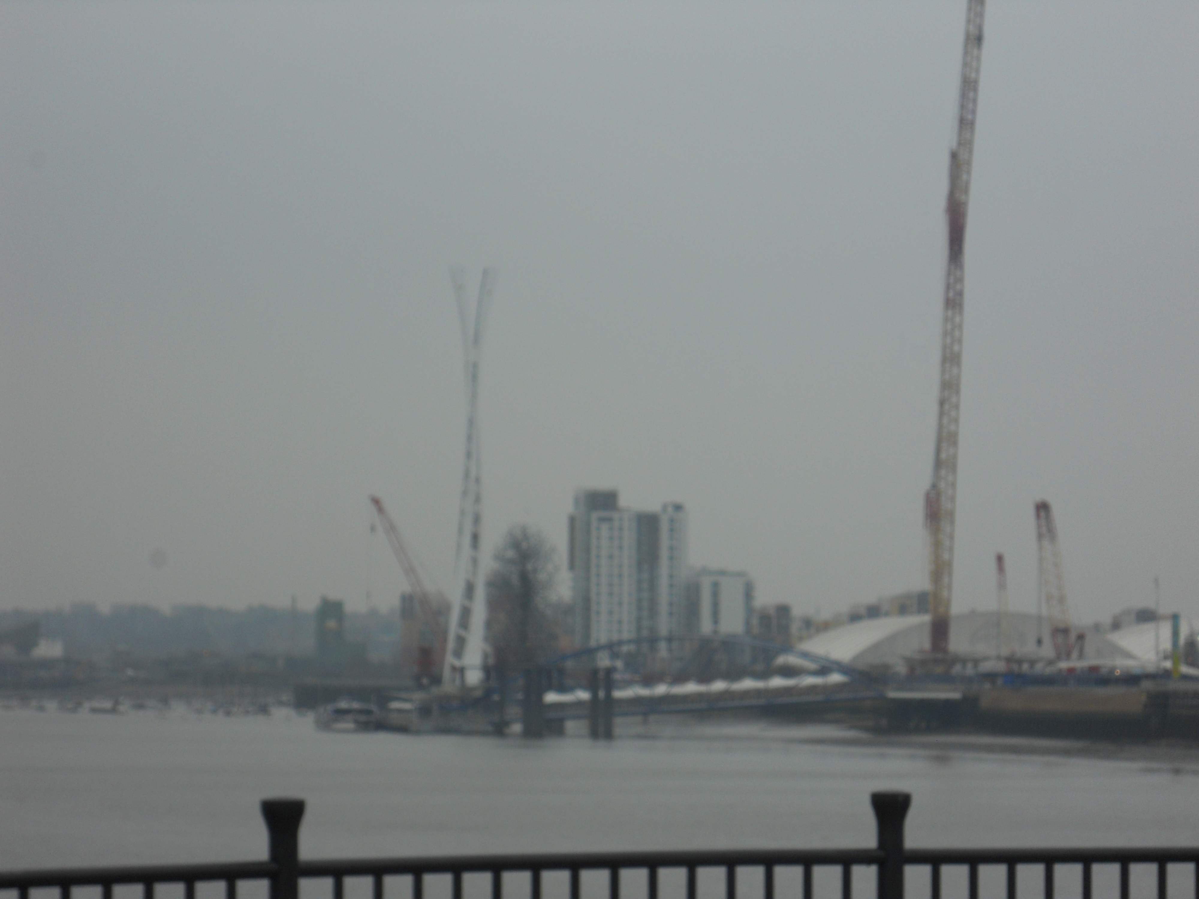
Crossrail’s Tunnelling Site on the Limmo Peninsular
If you take the Docklands Light Railway from Poplar to Canning Town, the train takes a wide loop just after East India station. The enclosed area is the Limmo Peninsular and it sits in a loop of the River Lea as it travels towards the River Thames. In the distance there is an enclosure with several large cranes surrounded by blue fencing.

The Crossrail Site on the Limmo Peninsular
I would assume that this is tunnelling site for Crossrail. The picture was taken from the platform at Canning Town station.
A couple of days after I took the picture, I went back again and took a picture of the site from a train on the Docklands Light Railway going to Beckton.

The Crossrail Site at Limmo from the DLR
I also took another showing an impressive set of Portacabins.

Portakabins Galore!
You can just see the Crossrail logo on the buildings.
Could A Hackney Junction Station Be Created?
Today, I was returning from Stratford station and did what I often do now and that is get off the Overground at Hackney Central station and get a 38 bus to just round the corner from my house. Ideally, I would like to take the disused Eastern Curve to walk from Dalston Junction station. But this would be a difficult route to reinstate. It would also be expensive, with not much change left from a million pounds.
The change at Hackney Central only takes a few minutes, but it involves using an overbridge to cross the North London line and a U-shaped walk to get to the bus stop on Graham Road.
The other problem at Hackney is getting between the two stations of Hackney Central and Hackney Downs. I walked it at ground level and it doesn’t take too long. There are some pictrures here.
But I wouldn’t like to do it in a few years or with a child in a buggy or in a wheelchair. There used to be a walkway at track level, but this was demolished, when the North London line was truncated to Dalston in 1944.
So could anything be done to improve the station? Let’s start by looking at an aerial view of the two stations and the surrounding roads coutesy of Google.

Map of Hackney Central and Downs Stations
The first thing you will notice is that there is a surprising amount of greenery and trees, especially along the line running westwards from Hackney Central station.
There is also car parking to the north of Hackney Central on Amhurst Road, which could be developed for something more worthwhile.
Returning to ground level, I took this picture of the old station building for Hackney Central, which sits on the corner of Mare Street and Graham Road.

The Old Hackney Central Station
This is surely worth preserving and using for something better than as a prop for the railway. Note the alleyway that leads to the new station buildings at the side.
This station is very similar to Camden Road station, also on the North London line, and like that station, I suspect Hackney Central also featured an underpass to get to the line on the other side. If this could be reinstated, this would remove one of the main problems of the station and that is having to use the overbridge to get to and from the westbound platform. I can manage it OK after a stroke, but I couldn’t if I was a young mother with twins in a double buggy.
I’m no architect, but I feel that a good one, with an understanding of structures could create an imposing station at the Hackney Central end of the combined station. As I said before there is space to the north of the station, which could be used as either a bus interchange, a square with cafes and other meeting places or niche retail. Or perhaps all three to create somewhere you might go to meet someone before walking the Lea Valley, going shopping at Eastfield or to the football at White Hart Lane.
The Hackney Downs end on the other hand doesn’t offer such a good collection of buildings on which to create a statement as you could at Central. So perhaps you just do something with the staircases and give it a good or as I said earlier, a wild coat of paint.
To connect the two stations you have three options.
- The simplest would probably be to signpost a preferred route, perhaps cutting the current distance slightly by sneaking in at the back of Hackney Downs.
- You could also put controlled crossing in at the two stations, so that the bus routes that served both stations could be used to bridge the gap.
- Or you could create a Hackney Skywalk alongside the two railways, above the streets below. Whether this could be done meeting all of the safety regulations, I do not know, but it would be a statement of intent of two rail lines and one station.
Finally, the buses in the area need a bit of reorganisation, especially if the North London Line continues to carry more and more passengers and the stations get full step-free access.
- Some buses for instance, like the 30 and the 277 almost parallel the line from Hackney Wick to Highbury and Islington, so perhaps some simplification could be envisaged.
- The 38 goes all the way to Victoria from Hackney, as does the 73 from Stoke Newington, so perhaps if Hackney had better connections to the Victoria line, some passengers might take that route.
- The new North London Line has shown that if you provide good east-west links in North London, they’ll get used. So perhaps, there is a need for a bus from somewhere like Archway to Walthamstow.
If nothing with this ramble, I’ve proved one thing. There are endless possibilities about what can be done to improve public transport in Hackney and up the Lea Valley.
To be fair to, to the Council, they have a lot of useful information and alternative plans on their web site.
Along The River Lea To Lea Bridge
The River Lea has the reputation of being a rather stagnant open sewer in the east of London.
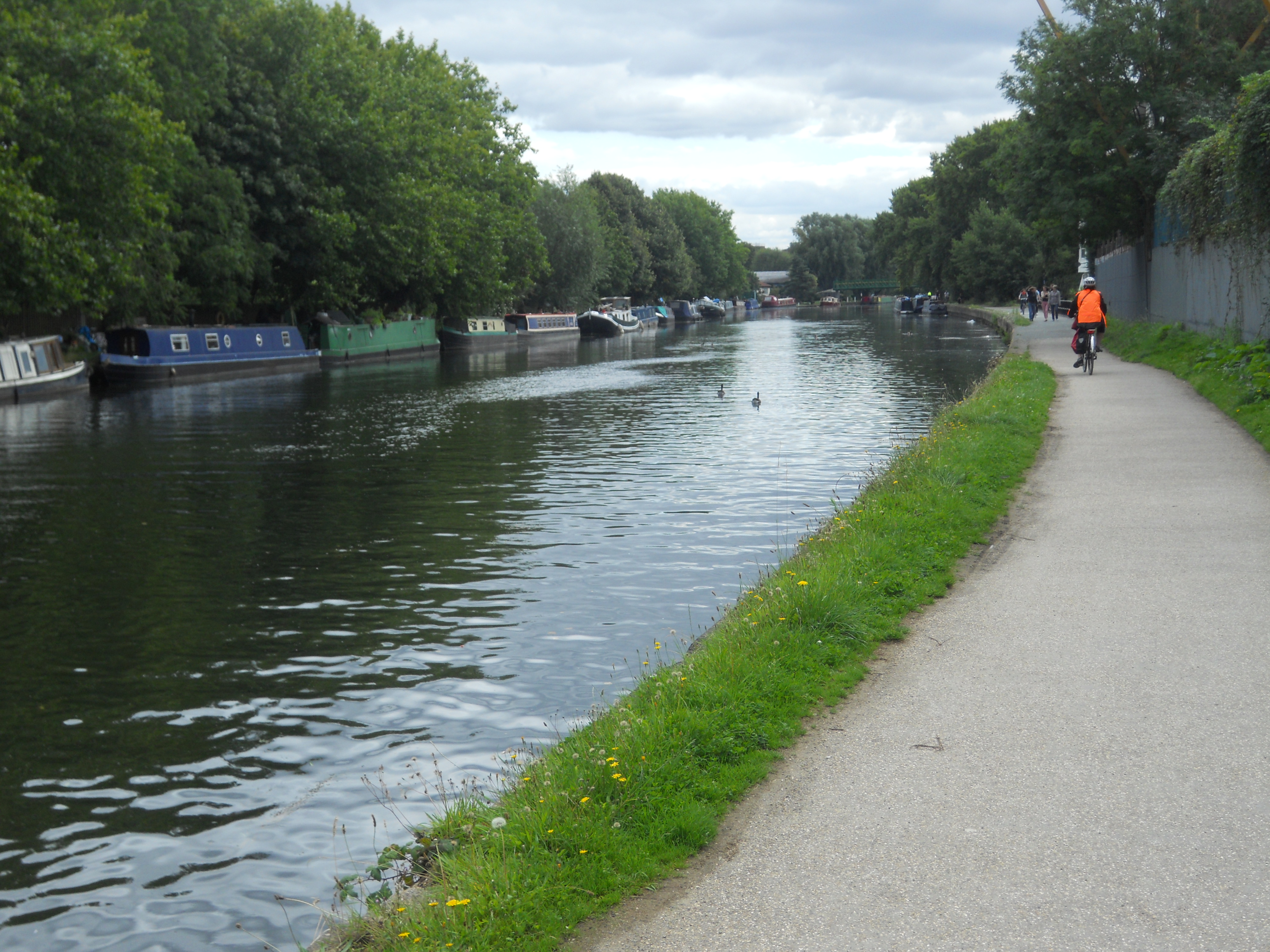
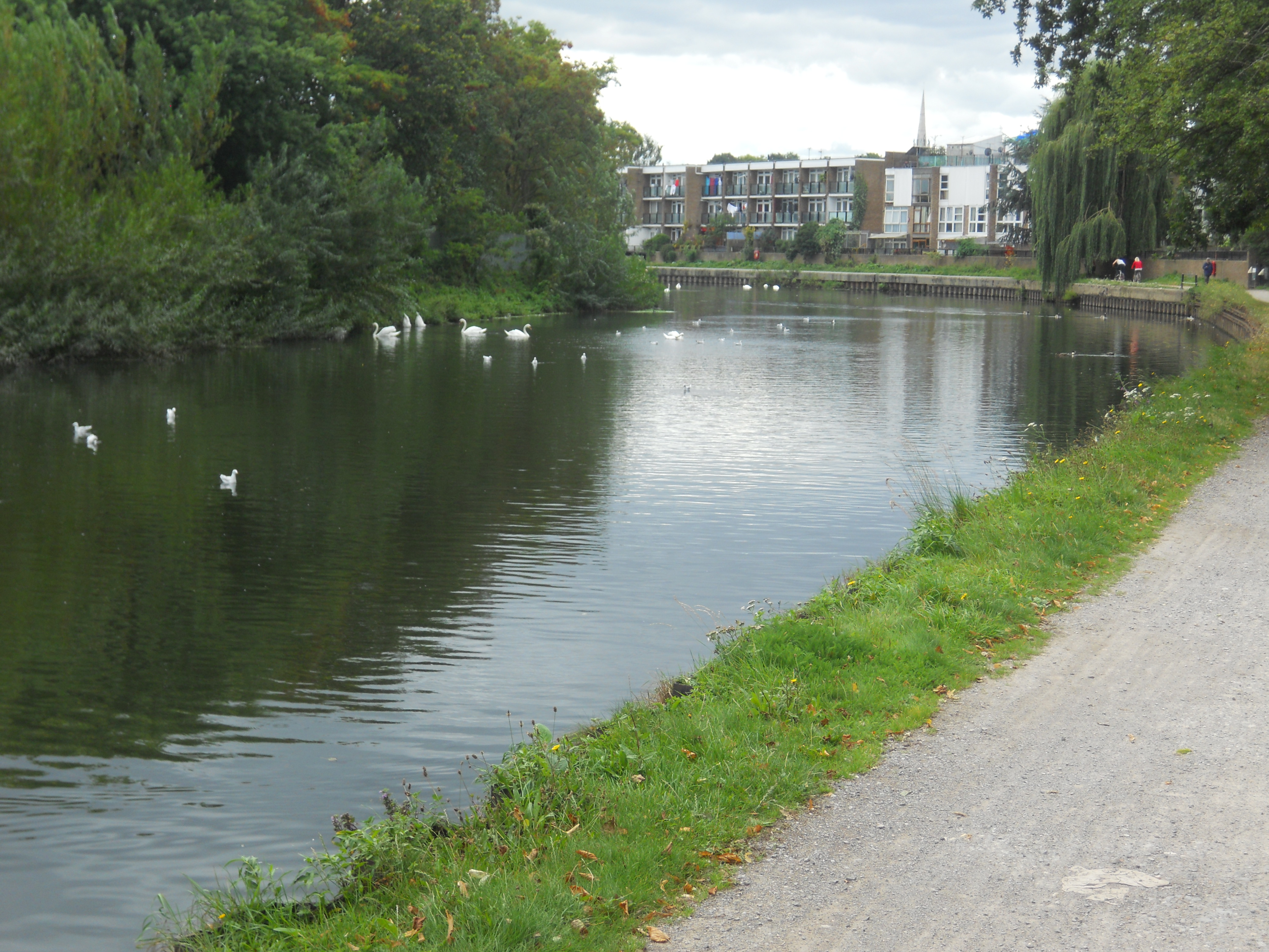
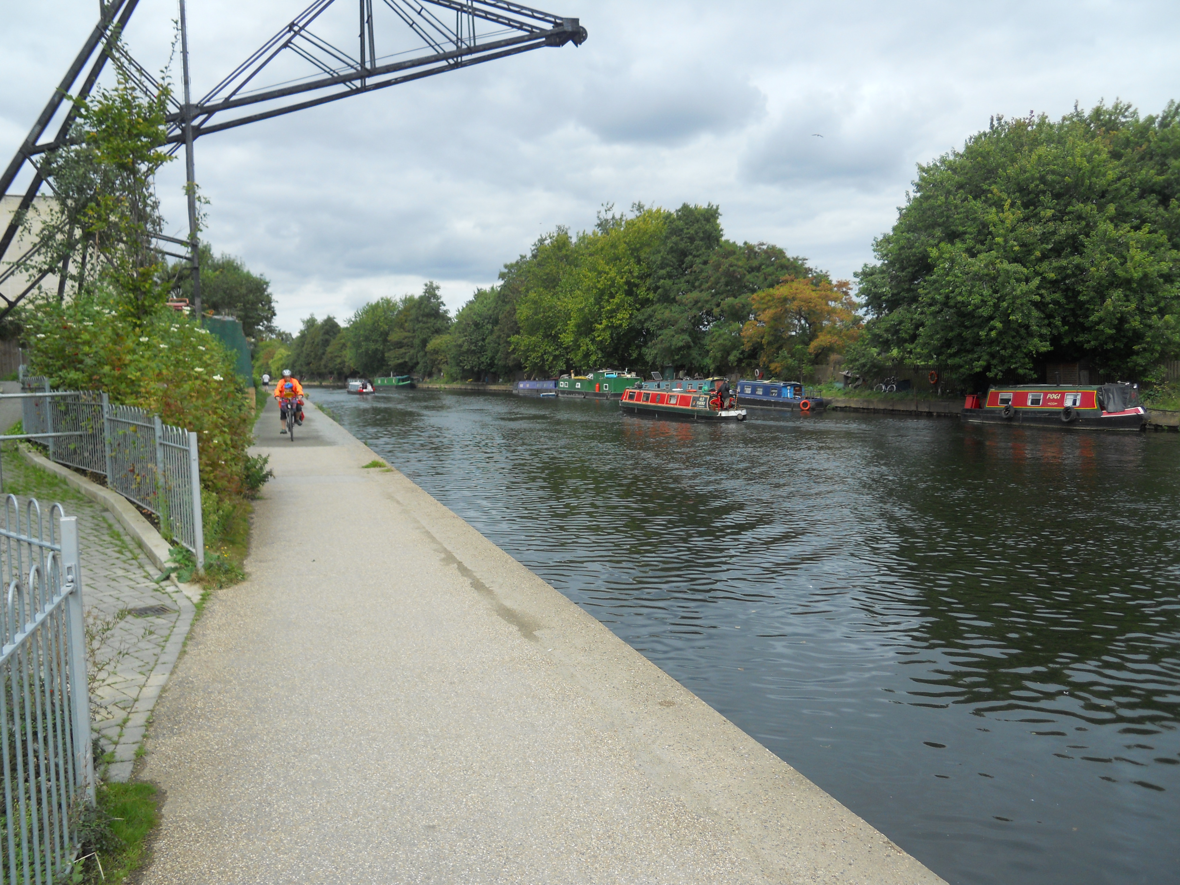
Nothing could be farther from the truth.
