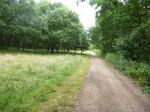
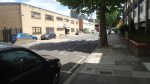
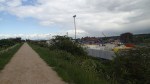
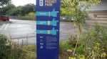
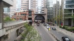
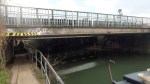
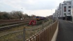
Walking Cycle Superhighway Route 1 From My House To Liverpool University
As I did this in an hour, it wasn’t the University in Liverpool, but their London Campus in Finsbury Square to which I walked along Cycle Superhighway Route 1.
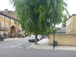


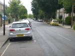


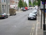


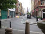


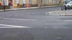
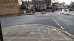
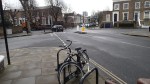
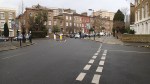
I joined the Sperhighway at the junction of Culford and Tottenham Roads about a hundred metres from my house.
Note that the pictures are generally in order going North to South, with some pictures taken looking back.
I think it is true to say that it is a pretty good cycling route, which from Dalston to the City is pretty flat, with very little cross traffic. I think that the major junctions will be light-controlled.
I do hope they put bike hire stations all along the route.
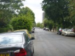
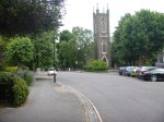
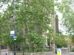
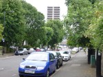
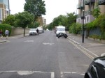
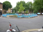
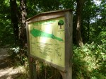
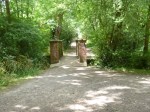
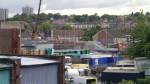
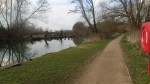
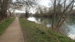
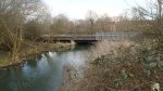
Monkey Hadley Common
Monkey Hadley Common or Hadley Wood as we called it, was one of the places I used to go regularly as a child with my friend Richard Plumb.
Today, I walked through it with a friend before having some lunch at Cockfosters.
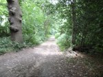

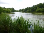
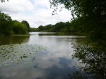
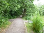
Surprisingly, despite being probably fifty-five years since I’ve been there, some parts had changed little and I could remember everything well.
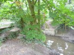
There was always fishing in Jack’s Lake and that was probably a lot cleaner.
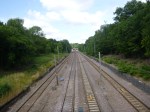
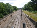
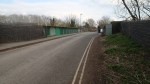
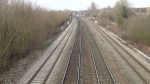
Ofen we would go through the woods to the East Coast Main Line, where we would do the things that boys did in those days, like putting coins on the track, so the trains would flatten them.
Do kids still do that?
The railway incidentally is much changed with electrification and whereas in the 1950s, you saw perhaps one express to and from the North every half-an-hour or so, the trains are much more frequent now.
I Like This TfL Proposal
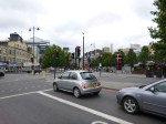
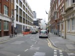
Transport for London have proposed changes at the junction of Stamford and Kingsland Roads near where I live. The changes are detailed in this page on their web site. This image shows the proposed junction.
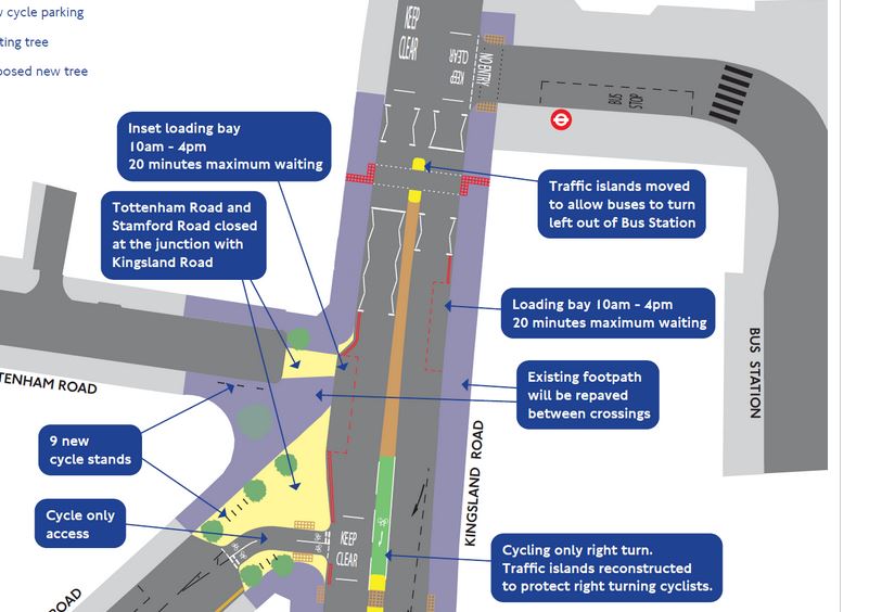
Proposed Kingsland Road Stamford Road Junction
And this is a Google Map of the area.

Kingsland Road Stamford Road Junction
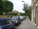
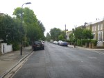
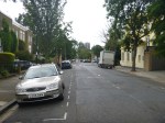
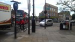
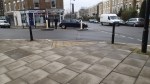
Note the inevitable truck parked outside Tesco, gumming everything up. Why is it that Tesco do this more than other supermarkets? Or they seem to do it in my opinion! As the crossing has been moved to allow buses to turn left out of the bus station, the loading bay has been moved further south, so I suspect that trucks won’t be able to park there and cause other vehicles to block the crossing that I regularly use. So that is one reason I like it, as it will make it easier for me to cross the road to get into Dalston Junction station. As buses will be able to turn left out of the bus station, I do wonder if TfL have got plans for more bus routes from Dalston, which of course I would support. I don’t think others will be so supportive. Look at these pictures of the junction and Tottenham Road.


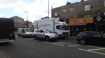
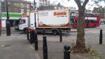
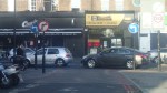
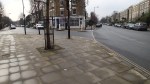
Note that the Tesco store is quite a way up towards the Balls Pond Road and after the changes are made, they will have a cycle lane in front of the shop. My heart bleeds for them! – I don’t think! There are quite a few businesses in Tottenham Road, who might find movements of vehicles rather difficult. Especially, as the Cycle Superhighway will soon cross the road in the middle. I also think that some residents of Tottenham Road will be objecting, as effectively unless they do a three-point turn, they will have to go a long way round to get out, as they’ll be a dead-end at one end of the road and the Cycle Superhighway across the middle. As I don’t drive, I don’t care!
Powered By Footsteps
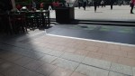
These lights at Canary Wharf were on BBC yesterday morning.
The company is looking for funding on Crowdcube.
I think that this sort of technology could have its uses. But possibly more when it is integrated into a common unit!
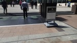
London and other cities have thousands of entry gates for the rail systems. Think how you use these!
You walk up and as you go through the barrier you either enter your ticket in a slot and pick it up again or touch your contactless card on a reader. You may not come to a full stop, but you will check your walk and this will result in you feet pressing a bit harder on the space between the sides of the gate. Thus a pressure pad in every gate would generate a bit of electricity for the station.
Ticket Gates At Homerton
Such an application could be part of a comprehensive energy system for a station, where the warmth from passengers, solar power from the roof and other power sources are collected to make the station less dependent on electricity from the mains. Network Rail have already used energy collection in stations like Blackfriars and the new London Bridge, so footfall collection could be another tool to help.
It could also be used in say a remote unmanned ticket gate on a station, such as where a platform is very long and some passengers need to entry and exit perhaps a hundred metres from the staff.
But although there is a large number of entry gates in the UK and worldwide, I would suspect that the gate manufacturers would develop their own systems.
I wish Pavegen well, but I don’t think I shall be investing.
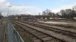
Walking To The Eynsham Drive Bridge At Abbey Wood
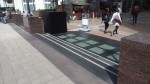
My walk yesterday to take the pictures of Crossrail at Eynsham Drive and Abbey Wood station started at Plumstead station, where I crossed the High Street and then found the end of the Ridgeway, which is on top of the Southern Outfall Sewer. I took these pictures as I walked to Harrow Manor Way, that led into Abbey Wood, where I turned off into Eynsham Drive..
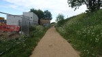

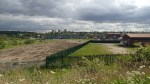


It is mostly, a typical estuarial industrial landscape with a quantity of uninspiring housing, although the space between the Ridgeway and the rail lines is going to be transformed, as Crossrail sidings are being built here.
You can understand why Stanley Kubrick shot Clockwork Orange in the area.
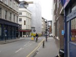
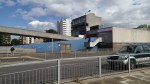
Walking From The Museum Of London To Liverpool Street
I walked today from the Museum of London to Liverpool Street, looking for evidence of Crossrail and the area’s rich history.

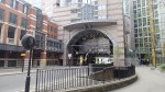
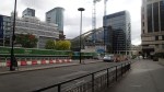
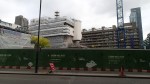
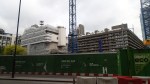
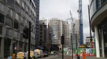


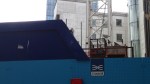
Unfortunately, Crossrail has closed the archaeological site at Liverpool Street station, so they can start building the new station. So if you’ve not seen it, then you’ll have to make do with my pictures.
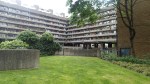
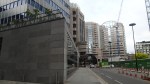
London Wall Place looks to be a quality development, that will sit over Crossrail’s Big Hole in the Barbican. I clipped this picture from their gallery, where it is one of several very informative images.

London Wall Place
From the picture, it would appear that the walkways that have been removed that connected the flats in the Barbican to walking routes to the Bank and the south, are being recreated.
It’s certainly a lot better than the dreadful square office blocks that used to line London Wall, when I lived in the Barbican in the 1970s.
Three Days In Preston
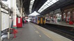
It may seem strange to go for a holiday in Preston. But I had time to spare and so I went to Liverpool last Wednesday and then spent the Wednesday, Thursday and Friday nights in the Premier Inn at Preston, with the extension of exploring the area using the trains and then seeing Ipswich at Blackburn on the Saturday.
I have visited Preston several times and I stayed in the hotel once, because it is an easy walk from the rail station.
The council are sorting out the town with new pavements, road layout and maps on liths.

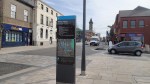
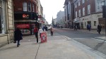
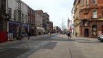


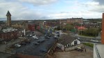
It is a great improvement and will be even better when it is completed.
It would be good if Preston station was improved, especially as it will become an electric hub for local services all over the North West, with new electric services to Blackpool, Leeds, Liverpool and Manchester and possibly a few others like Colne in the next few years.
Would I use Preston as a base for a tour of the North West again?
I have one problem with Preston and that is the bad provision of gluten-free food in the town. There is only the one Pizza Express that I would trust and the Marks and Spencer doesn’t stock any gluten-free sandwiches.
Perhaps to stay near the station in Carlisle, Liverpool or Manchester would be better!
I used one of UK rail’s Rover tickets, which is called a Freedom of the North West 4 in 8 Day Rover. This is the rough availability.
The rover allows travel to Carlisle from Barrow, Dumfries, Lockerbie and Hexham.
It also covers the area bounded by the Settle-Carlisle, Barrow, Morecambe, Blackpool, Southport, Shipley to Bradford, Leeds, Halifax, Oldham, Manchester, Liverpool, Warrington Bank Quay to Helsby, Chester, Shotton, West Kirkby and New Brighton.
Available any 4 days within an 8 day period.
And you can use it on all the franchised train companies like Merseyrail, Northern, Virgin and TransPennine! It’s a two part ticket.
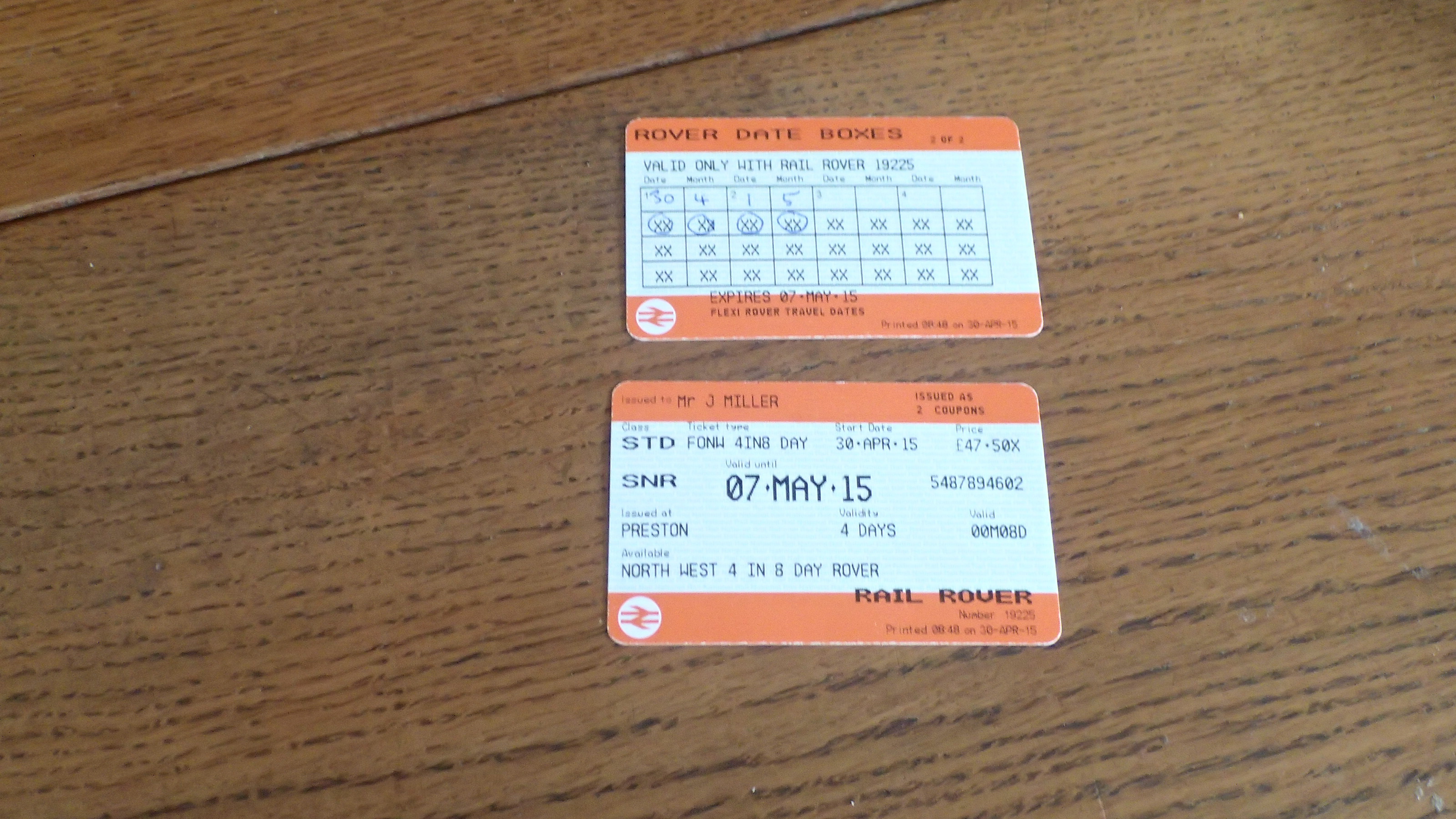
My Rover Ticket
No ticket inspector seemed to give it more than a cursory glance.
I actually didn’t know the ticket existed, when I went North to Liverpool. So I should have bought the ticket at Lime Street and saved myself about a tenner. I returned via Manchester, so I used the ticket to get from Blackburn to Manchester Victoria after the match.
These tickets are certainly a good way of having a few days away and seeing the country. This map of the north west part of Northern Rail’s franchise.
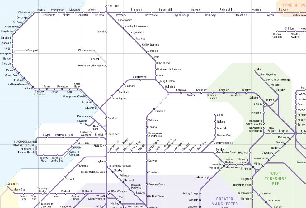
Northern Rail NW Map
The southern boundary of the ticket I used is roughly defined by Liverpool, Chester, Warrington and Manchester.
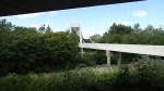
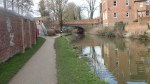
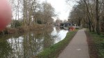
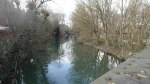
A Walk From Oxford Station
At Oxford station, I took a walk in a loop by the water and then along the railway, before crossing it on a bridge and returning along the Oxford Canal to the station.


It is a good walk, but it does need a few maps and fingerposts. This Google Earth image shows where I walked.
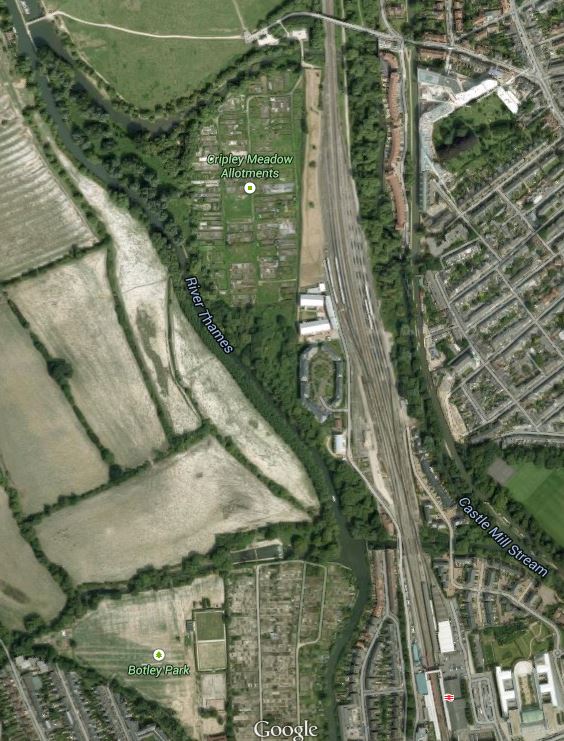
North Of Oxford Station
Note the bridge at the top and the station at the bottom.
I only took about an hour to do the walk and my main aim was to investigate the railway north of Oxford station, but Oxford station would certainly be a good place to start a walk either into the city or along the Thames or the Oxford Canal.
One thing that the walk showed me, was how much railway land there is in the area and with all the developments in services to the station, I’m sure it will be put to good use.
In some of the pictures you can see the Castle Mill development, which was nominated for the 2013 Carbuncle Cup.
From the railway side it looks fine, but I suspect from the river it grates in some peoples’ minds.
There is a noise debate rumbling on about the railway, which hopefully electrification will kill. But there will still be quite a few Class 66 hauled freight trains going through.
A Rat Run Is Going To Be Cut
The Ardleigh Road junction off Southgate Road, near to me is a dangerous place for pedestrians. Cars, trucks, vans and cyclists like to peel off Southgate Road and see how fast they can turn down Ardleigh Road.


I took these pictures this morning, as I walked across De Beauvoir Town to my doctor’s surgery. Later on, two visitors to my house, who know the area well, told me that they are always very careful near that junction.
But the other end of Ardleigh Road, where it meets Culford and Engelfield Roads near the Scolt Head pub, is going to become a dead end for vehicles because Cycle Superhighway Route 1 goes up Culford Road, which will go straight across Engelfield Road towards the City.
This Google Earth image shows the area.
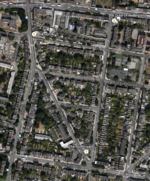
Ardleigh Road
On the map note how the Scolt Head sits between Ardleigh Road and Culford Road. Culford Road is going to be straightened and will take the cycling route on a north-south axis through De Beauvoir Town crossing the Balls Pond Road by the Duke of Wellington pub.
You can clearly see from the map how tempting it is to drive fast off Southgate Road into Ardleigh Road just south of the Hunter S pub. Someone told me, that the wide junction of Southgate and Ardleigh Roads was to allow trams and trolley buses to turn. This photostream on Flickr shows, trams, trolley-buses and buses in the area. The first picture in the photostream was taken on the western side of Southgate Road opposite the Hunter S looking towards the Balls Pond Road.
There are going to be a lot of very angry rats. And at least one very happy pedestrian!
An Unnecessary Good Deed
I like to think that I can be a gentleman some of the time.
When I was going home this afternoon from London Bridge, I took the Northern Line to Old Street with the intention of getting a 141 bus from Provost Street opposite Moorfields Eye Hospital.
To get from the station to the stop I first had to cross East Road, walk past the stop for the southbound 43 bus and then cross Provost Street itself.
As I started to cross Provost Street, I noticed a classic little old lady with a white stick, who seemed rather feared to cross the other way. So I crossed over and asked if I could help. She told me that she needed to get a 21 bus south towards Lewisham. I should say that I did do a bit of training with Guide Dogs for the Blind on how to lead people, so after telling her that the stop was behind the building on our left, I guided her across the road, past the 43 bus stop and then across East Road to walk back to the step for the 21.
What was a bit frustrating was that as we crossed East Road, a 21 bus disappeared on its way south.
A few minutes later and with a bit of help from a fellow passenger, who told us a 21 was due in three minutes, I put the lady on the bus to New Cross and her home.
I used the word unnecessary in the title of this post. for two reasons.
I said the lady was a classic little old lady in the mould of Louisa Wilberforce in The Ladykillers or Mrs. Ross in The Whisperers, but she certainly was totally on the ball and without any eccentricities. She was also proud too, that she’d got the bus so easily northwards from New Cross. She also thought it a good idea to try my route next time, of a 43 to say Finsbury Square and then get the 21 from the same stop.
But the main reason, all of my guiding was unnecessary is that if there had been some clear large print signs, she would with her mental and physical faculties managed the walk without any passing assistance. Although, she thanked me profusely, she was a very independent soul, and she would probably have felt really satisfied to have been able to manage the walk unaided.
Surely outside an eye hospital, there will be quite a few people walking around, whose eyesight isn’t 20/20.
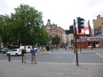
As I indicated in Is Silicon Roundabout Going To Become Silicon Peninsular, Transport for London are rethinking the Old Street Roundabout.
They have a unique opportunity to sort out the area for the visually impaired.
