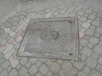
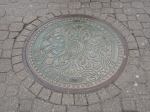
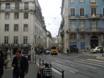
The Pavements Of Budapest
Budapest doesn’t seem to do plain man-hole covers in the centre. They also allow shops to have their name in front in brass.


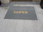

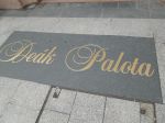


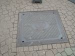
I would think they don’t have a theft problem.
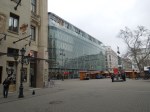
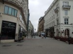
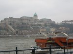
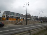
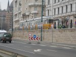
Exploring Budapest
As I usually do, I used a combination of walking and the various trams and metro lines. There is a card called a Budapest Card, but at the first station I tried near the airport, they just sold me an ordinary 24 hour ticket.
These are some of the pictures I took.


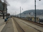


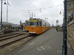


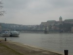
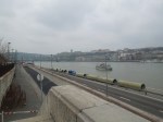


Particularly useful was the number 2 tram, which ran up and down the Danube. If you’ve got a 24-hour ticket, just get on the tram and sit down. You don’t have to touch in, although my ticket was checked on the Metro.
The only problems I had were the extreme cold and the lack of information and maps on the street. But Budapest is one of those cities, where you can generally see one of major features like the Danube, Buda Castle or St. Stephen’s Basilica.
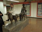
On the other hand, when I did get lost, a friendly Hungarian usually put me right. I was plagued a bit by hop-on/hop-off tourist bus salesmen, but I just ignored them, as I prefer to play my game of chance with the public transport. You see more interesting things, like the little girl sitting on the dog statue. How many places would allow that?
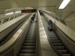
Incidentally, Line 1 of the Budapest Metro is the second oldest in the world and is included in the World Heritage Site for Budapest.
Reading’s Style Before Substance Maps
On my trip today, I’d planned to have lunch in Carluccio’s, so before I left, I looked up the address and the walking route from Reading station.
So after taking the photos of the station, I walked into the town centre and traced the way my mind told me to go. I had hoped to get help from a map, but all I had were ones like this.
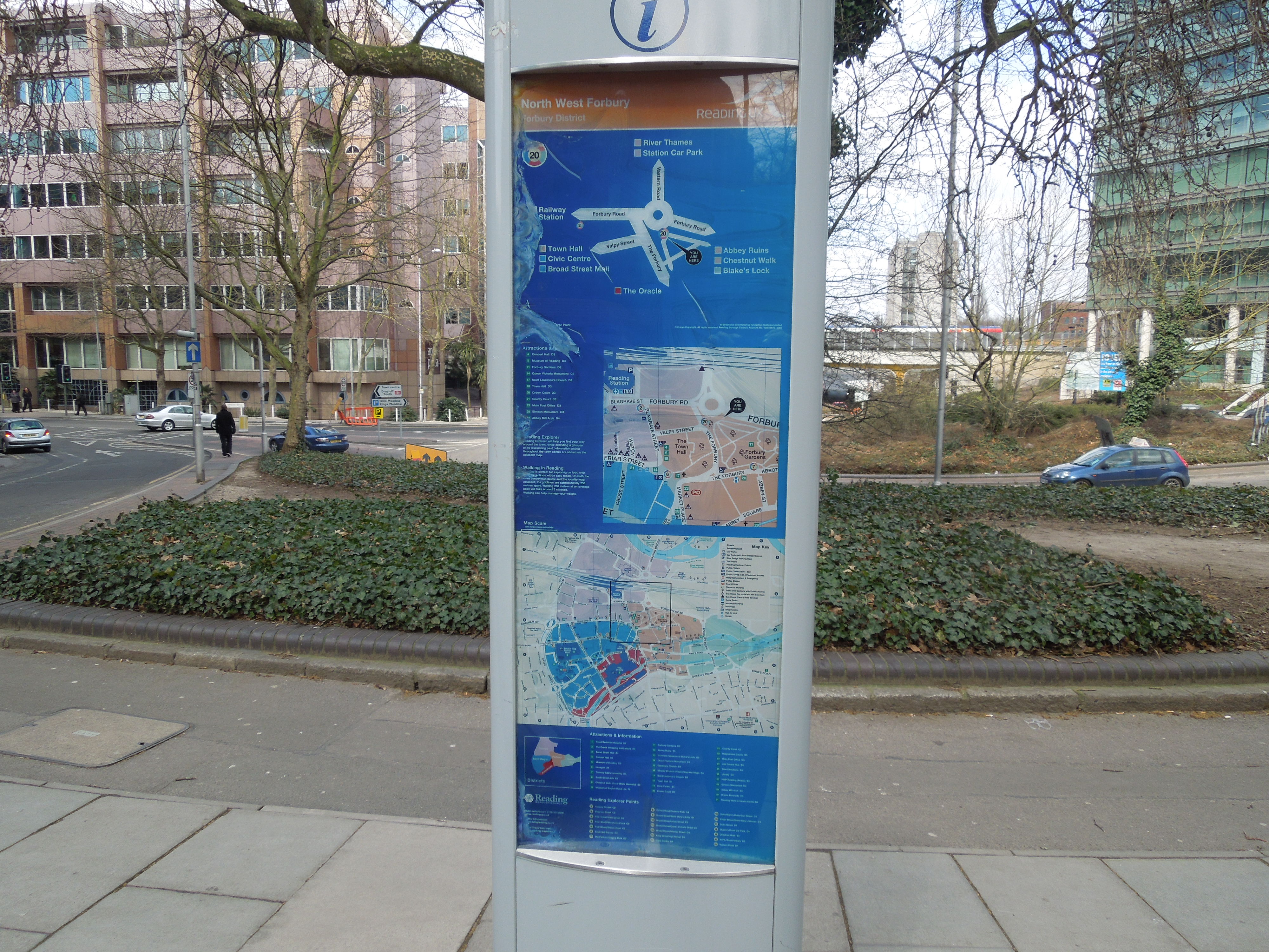
Reading’s Style Before Substance Maps
Stylish they may be, but they aren’t the best, if you want to find a street, you’ve looked up previously, as there isn’t enough detail and no street index.
Luckily in the end, I found a local who knew where Carluccio’s was and I walked there and had an excellent lunch.
Londoners like me, are very used to good maps, as I can always remember them from my childhood, when every Tube station had a local map. Now every bus stop does, like this one at the Angel.
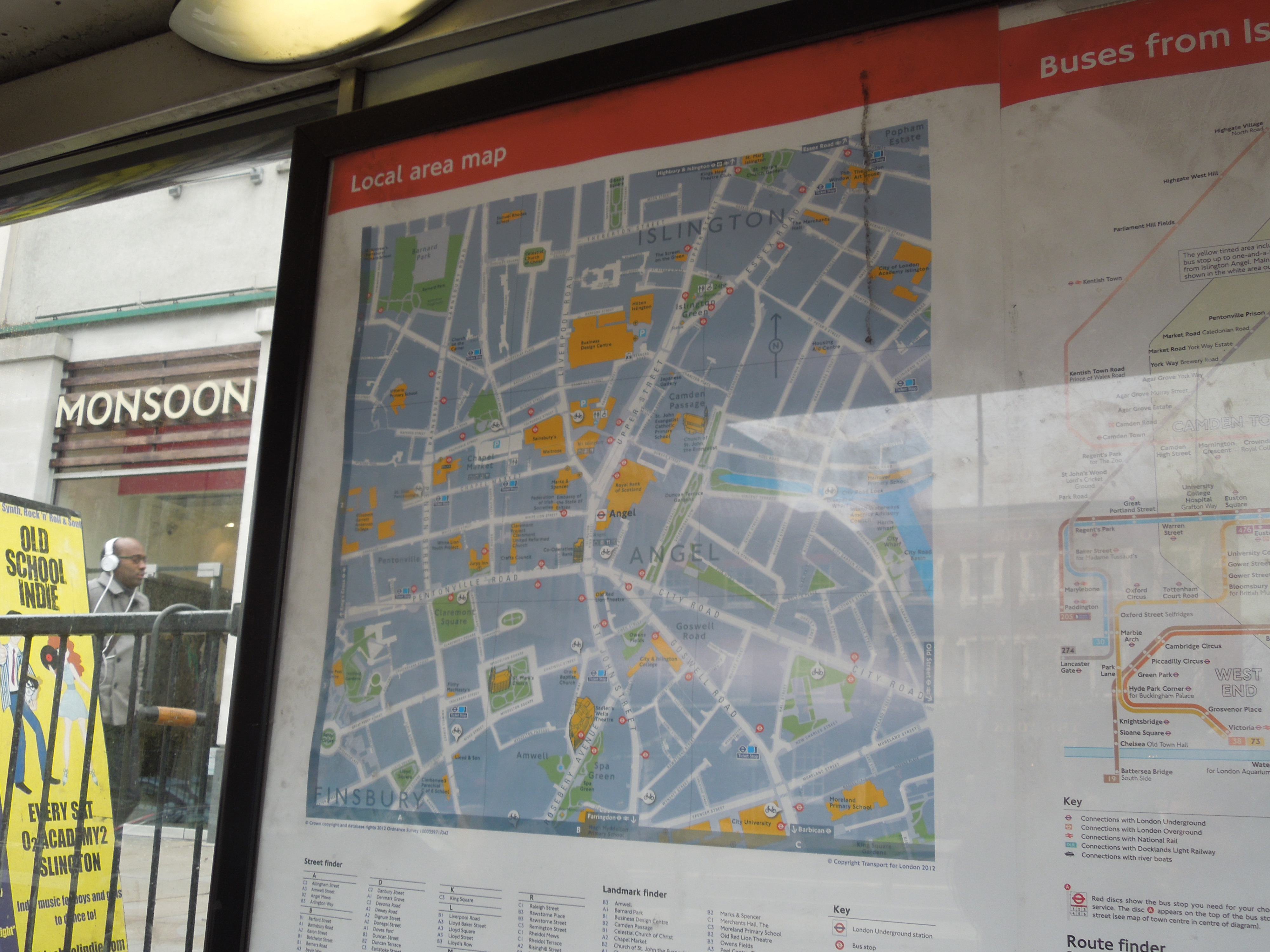
Local Street Map At The Angel
At the Angel too, there are also informational maps of the area, with all of the major buildings and landmarks indicated.
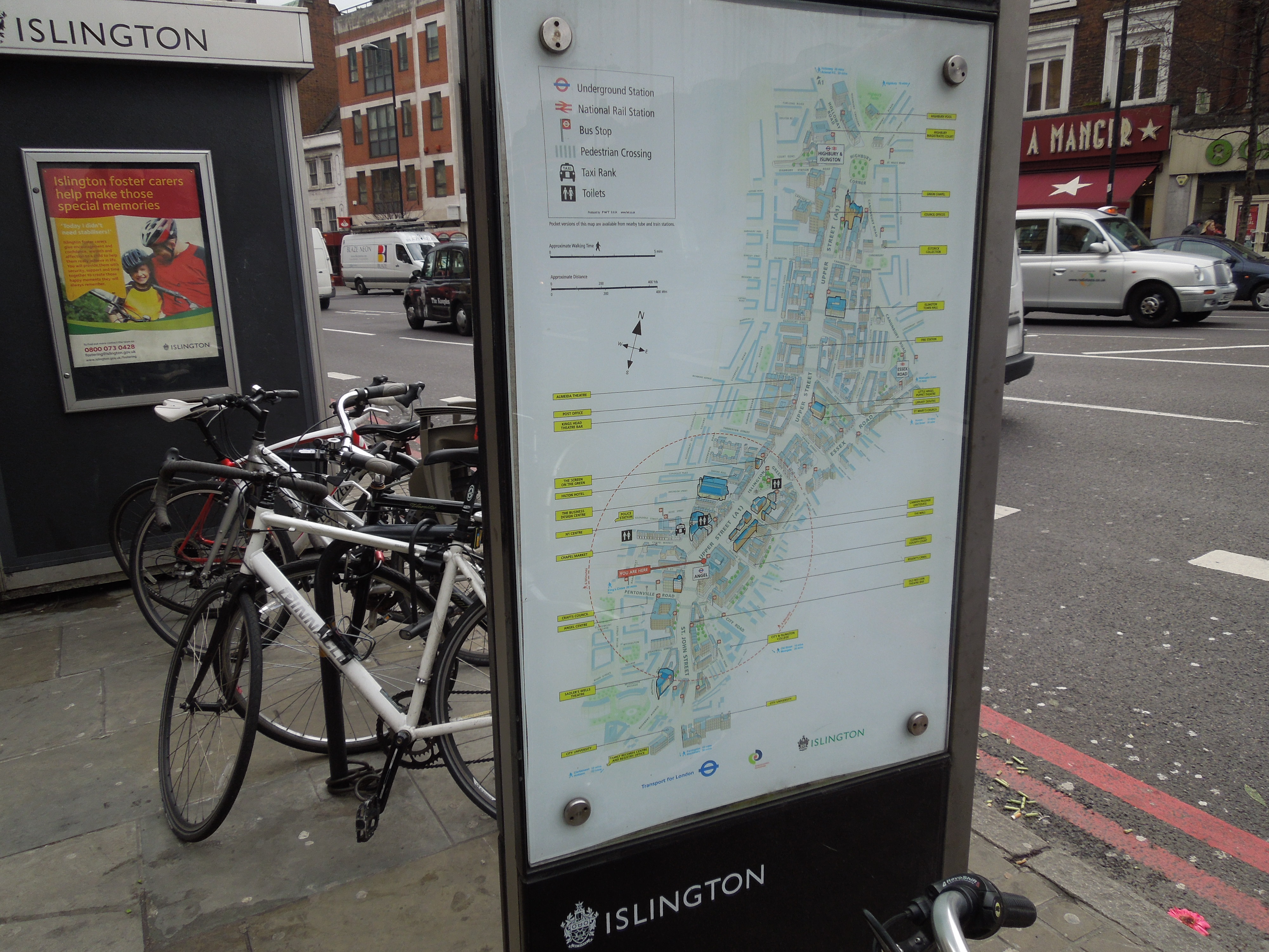
informational Map At The Angel
Reading’s maps may be stylish, but they are useless if you’re not a local and don’t use a smart phone.
But say you want to find Carluccio’s at Islington, you would just say
The restaurant is by St. Mary’s Church, opposite the Almeida Theatre.
Both places are mentioned on Islington’s informational map.
Perhaps the maps in Reading, were designed, by trendy smart phone freaks, who don’t realise how a lot of people think and operate.
The problem was made worse at Reading, because there was no local information or map at the station. This was probably due to the rebuilding. I didn’t even notice the finger posts, I saw the last time I was in the town. Have they been replaced by the maps?
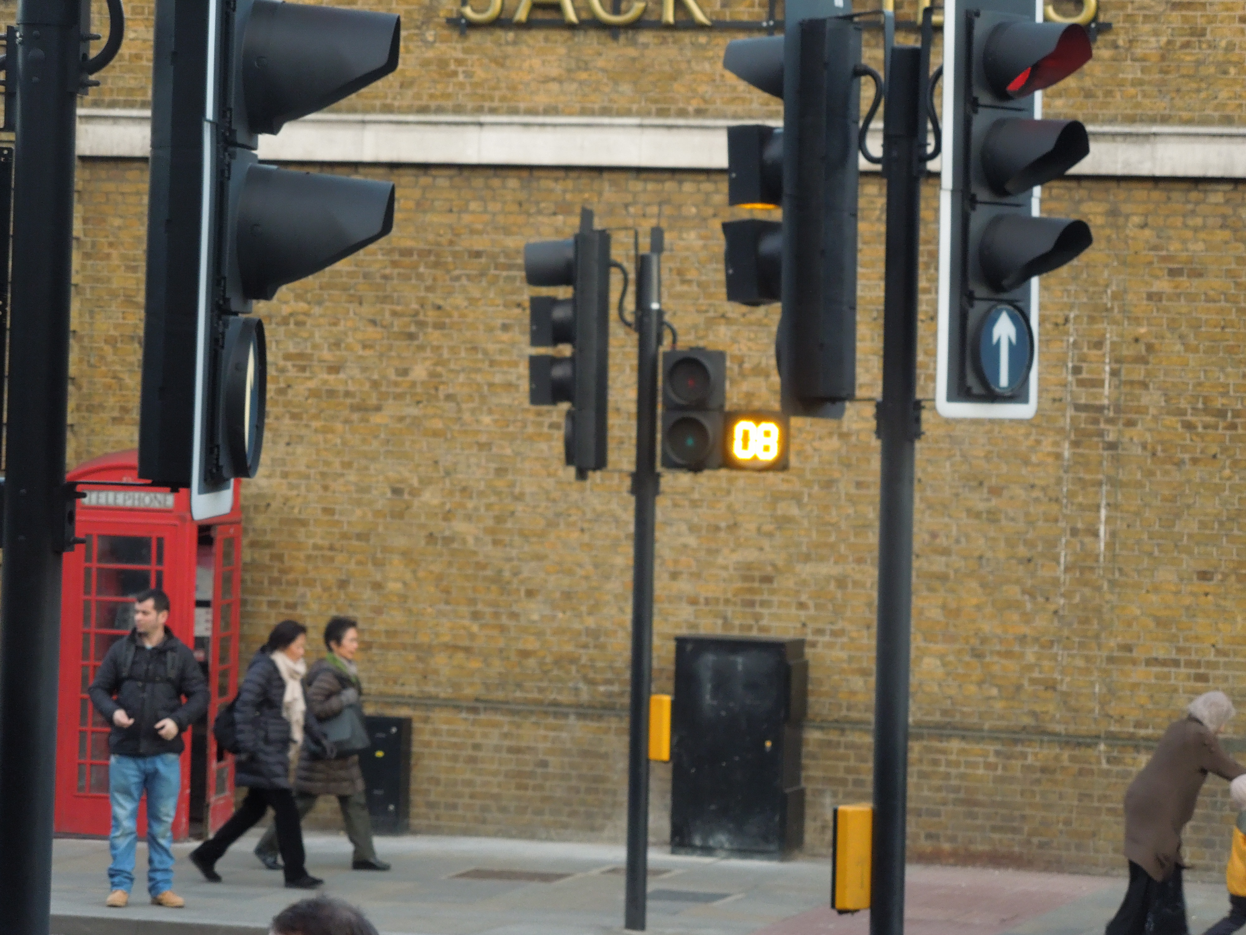
Countdown Comes To Hackney
I don’t think it was working yet, but Pedestrian Countdown has arrived in Hackney, as this picture shows.
Countdown Comes To Hackney
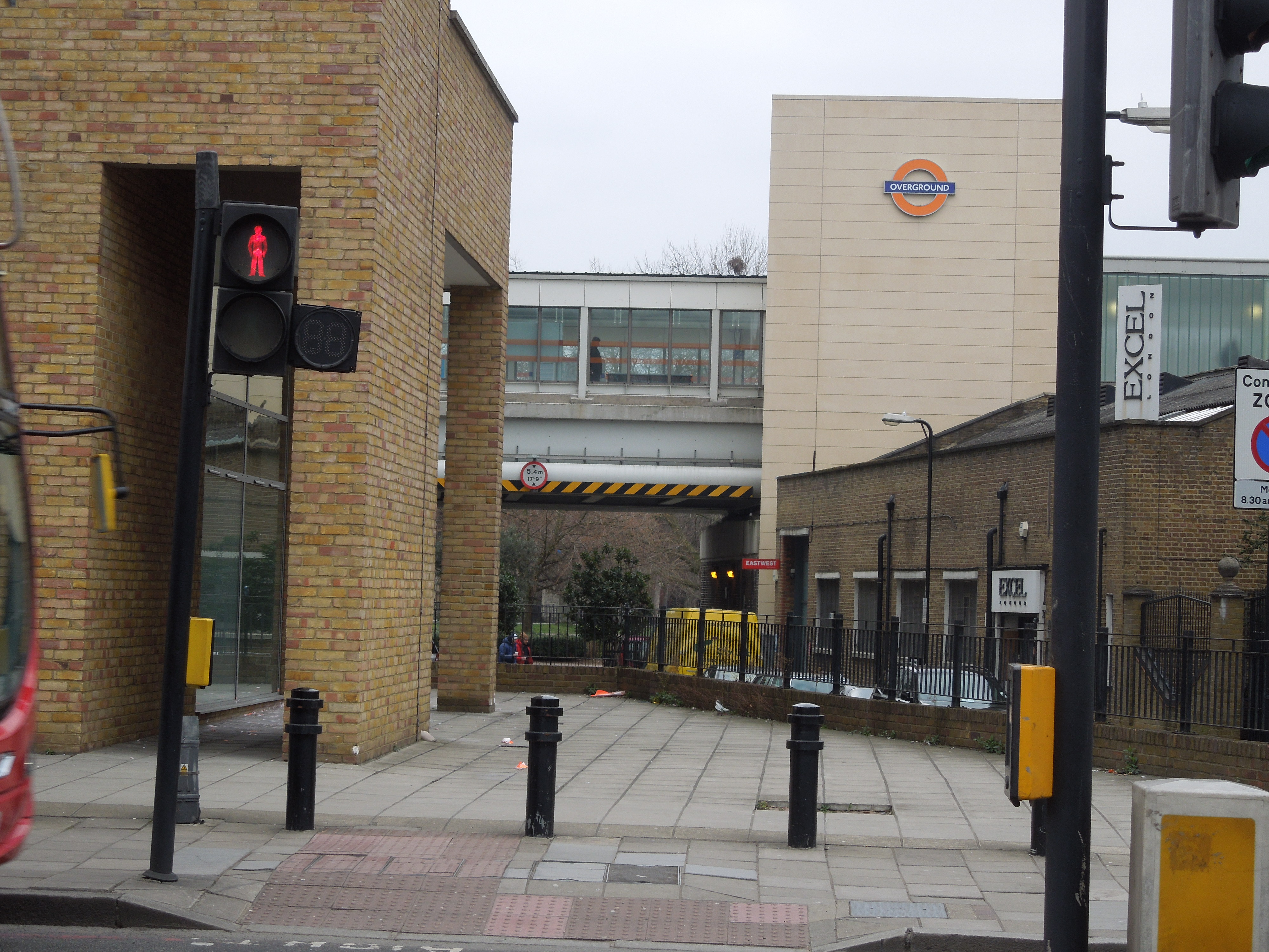
I was on my way from my doctors to Paddington station, so I was going to Haggerston station, which you can see in the background.
It is not a simple journey and it requires two changes at Canada Water and Waterloo stations. The latter is a change to avoid.
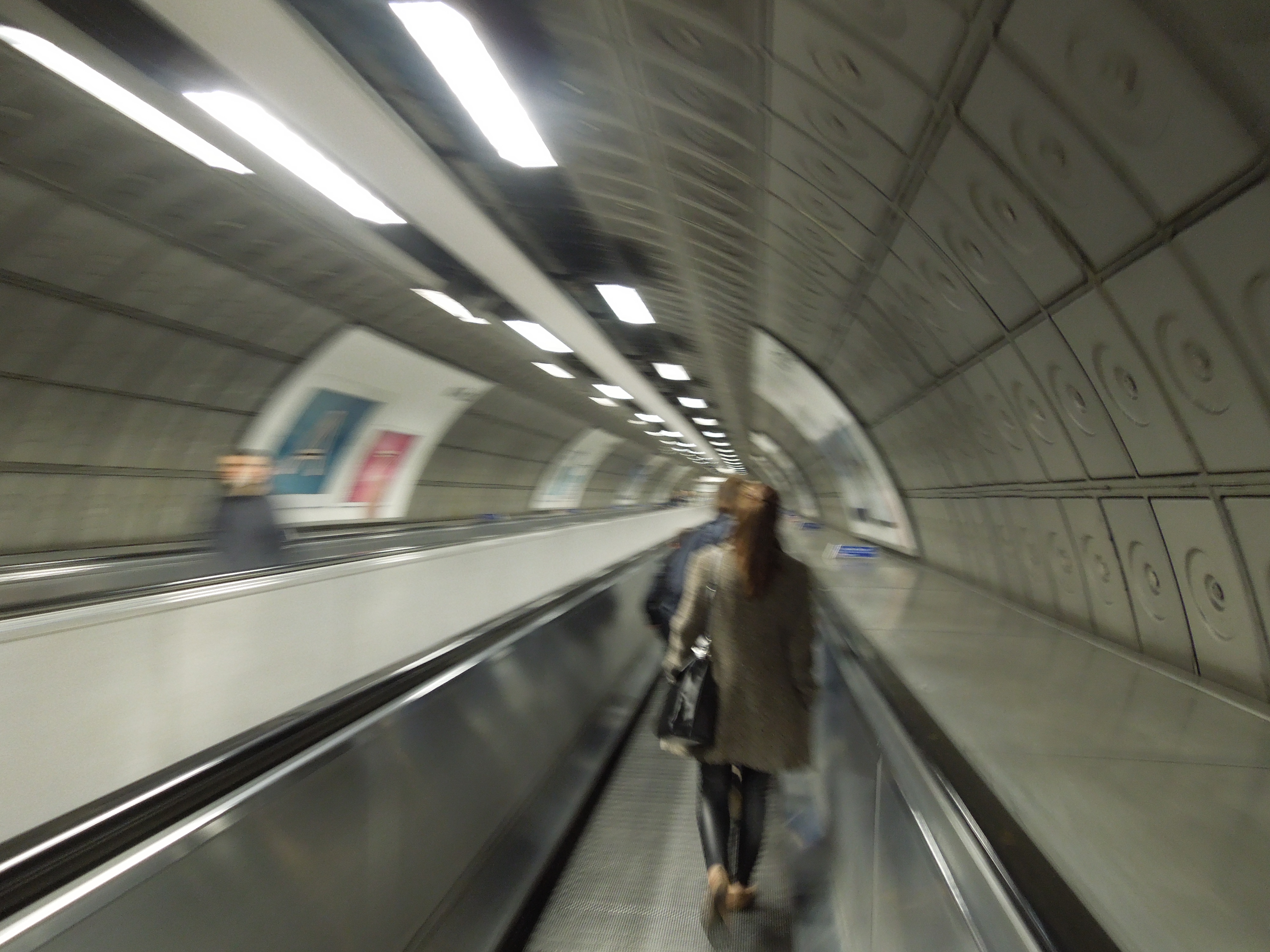
Waterloo Interchange
At least there is a moving pavement in the long tunnels. I think of all London’s main stations, Paddington is the most difficult to get to from Hackney and other parts of North East London.
Unusual Bike Storage
This bike storage rack has been introduced at the other end of my road outside the Job Centre.

Unusual Bike Storage
It is another innovative idea from Cyclehoop.
As a pedestrian, I like it, as anything that gets bikes out of the way and off the pavement is to be welcomed. I do wish that they had one at my end of the road, so that as I pass the pub, it would make it less of an obstacle to get to the bus stop, as at busy times, the road is the only safe place, with smoking drinkers and bikes chained to every conceivable street pole.
As to whether the loss of a vehicle space would matter, I don’t think any of my visitors ever find it difficult to find a place to park!
I think we also need a nearer Boris bike station, but that is another matter!
Exploring Lisbon
I explored Lisbon in three ways, by foot, Metro and the amazing trams.
I did a lot by just getting on a tram and then getting off at a place that looked interesting. I then got another tram or the Metro, until I needed to get back to the Oriana.
This gallery shows some of the sites I saw on foot.


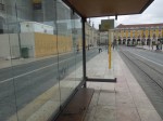

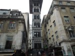
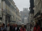
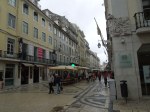


As you can see, it wasn’t the warmest place, but at least it wasn’t raining.
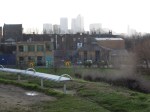
Walking to Brick Lane Music Hall
From Pontoon Dock station opposite the London Pleasure Gardens, I walked down to St. Mark’s Church, Silvertown or the Brick Lane Music Hall, as it is now known.
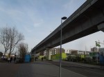


It is a walk, I have driven many times in the past and I regularly used to fill up my cars at the garage shown. But not at those prices, of which as a non-driver, who is scientifically-green, I heartily approve.
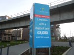
The flats seems good value to me. When C and I got married, we’d have never been able to buy something on a deal like that. you could get a 75% mortgage if you were lucky.
A Crossing At The Angel Has Learned To Count
Transport for London is installing counters on some of the pedestrian crossings as they detail here.
A Crossing At The Angel Has Learned To Count
As the picture shows, one has now been installed at the Angel.
I haven’t used this crossing since the system was installed, but where they have been, I think they are a good idea.
A Walk In Mile End Park
Yesterday, I went to Leon in Canary Wharf for one of their excellent breakfasts and came back on a 277 bus, where I got off in Mile End Park for a walk.


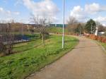

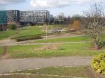

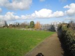

The park was refurbished as a millennium project and is well laid out between the canal and the road that runs north from Docklands to Victoria Park.
It is very much worth visiting for a walk. Especially for anyone, who lives like I do by the 277 bus route.
It would also be possible to start at the southern end and then switch to the Regent’s Canal at the northern end of the park.
An Advantage Of Living In A City
I’ve lived for forty years of my life in the country, where of course in weather like this you have to clear snow, so you can get into your house.
I’ve just walked down the road to get my paper and on the other side of the road, three workers from Hackney Council are clearing the pavement. They have a rather nifty pair of grit spreaders!
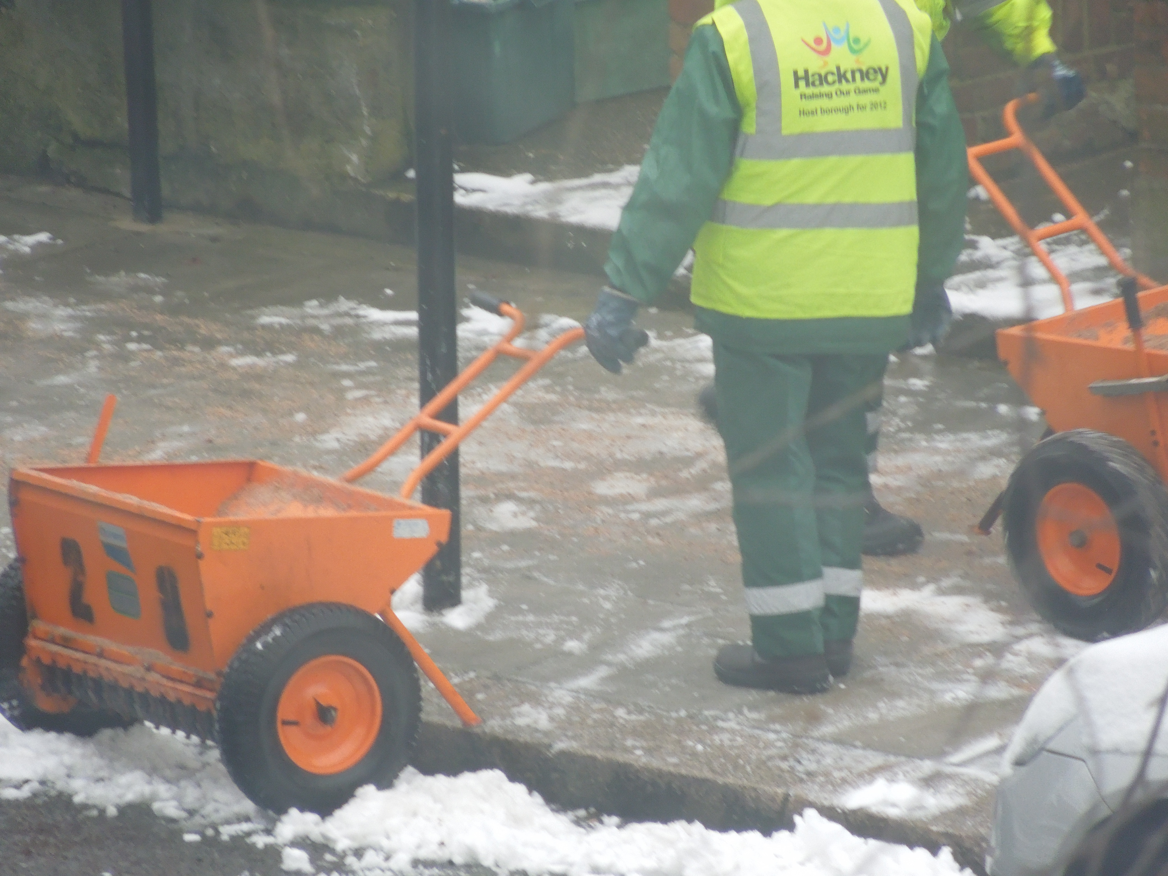
A Pair Of Nifty Grit Spreaders
I suppose to be fair to the Council, they spent a lot of money replacing the pavements last year and they’re only protecting their investment. And helping the residents’ balance!
