Tram-Trains In Stockport
In the Proposed Systems section for the United Kingdom in the Wikipedia entry for tram-trains, there is a reference to tram-trains being proposed for Manchester to Marple.
I have also found this report on the Stockport Council web site, which is entitled Stockport Rail Strategy. The strategy has been developed by respected engineers; WSAtkins.
Search the report for tram-train and you get 35 hits, including references to Manchester to Marple.
The report also has this helpful map of tram-train routes in the Stockport area.
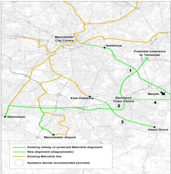
Possible Stockport Tram-Train Routes
I’ll look at some of the routes.
Manchester to Marple
Note that Manchester to Marple is given the highest priority of 1.
In Section 5.5.1 of the report, this is said about the Manchester to Marple route.
Manchester – Marple Metrolink would replace local rail services on the Manchester – Marple via Bredbury line with a more frequent service that would access the heart of Manchester City Centre. A further benefit of the scheme is that it contributes to relieving platform capacity constraints to Manchester Piccadilly, since the scheme would enter Piccadilly via the Metrolink platforms.
It also says it won’t go through Stockport Town Centre.
As the map shows the Manchester to Marple route goes via Ashburys station, which is to the South of the Etihad Stadium.as this Google Map shows.
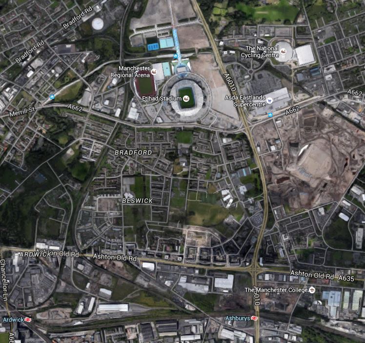
Ashburys And Etihad Stadium
Note Ardwick and Ashburys stations on the line used by trains between Manchester Piccadilly and Rose Hill Msrple Marple stations.
A second Google Map shows the Etihad Campus tram stop, surrounded by various stadia, centres and arenas.

Etihad Campus
Note in both maps there is a rail line that leaves the rail line to the west of Ashburys station and goes north to the west of Etihad Campus.
This is one route that could be used to get tram-trains into the Manchester Metrolink.
In the Wikipedia entry for Ashburys station, this route is also proposed.
Significant new infrastructure works would be required between Piccadilly and Ashburys station, known as ‘Piccadilly Link’. It would be incorporated within a major mixed-use development by Grangefield Estates, known as ‘Chancellor Place’, around the former Mayfield Station site.
It would appear that both routes have their advantages.
But surely, the Etihad route has these specific ones.
- ,It would only need a connection between the rail line and the tram line to Etihad Campus.
- It doesn’t rely on the ever-changing fortunes and minds of large property companies to deliver the infrastructure on the Mayfield Station site.
- The route would not interfere with the addition of the two new platforms proposed for Manchester Piccadilly.
- The trams end up under Piccadilly station from where they could continue to any number of destinations.
- Manchester to Marple services are removed from the crowded Piccadilly station.
- A station or tram stop could be provided to the west of the Etihad Stadium, if that was required.
- Delivery of the scheme would be down mainly to Manchester Metrolink, Network Rail and the various councils, with perhaps some input from the owners of the Etihad Campus.
On a rough analysis, I suspect that going the Etihad route would be more affordable and a lot easier to bring to fruition.
The WSAtlins report also suggests this for tram-trains between Manchester and Marple.
Stockport station could be served by using the Stockport to Stalybridge Line.
- A proposed service would be five trains per hour from Manchester City Centre to both Stockport and Rose Hill Marple.
- There would be a tram-train every six minutes on the busiest part of the route between Reddish North and Manchester.
- Other services between Manchester and Marple would go via Hyde.
Obviously, there are questions to be asked.
- The tram-trains get to Manchester City Centre, but where do they go from there?
- Could we see a tram and tram-train interchange in Piccadilly Gardens, just as I saw in the centre of Kassel and wrote about in The Trams And Tram-Trains Of Kassel?
- Could Manchester’s tram network be used by a Class 399 tram-train, as is being trialled in Sheffield?
I can understand why the Manchester to Marple route was offered as a place to do the tram-train trial!
It strikes me, that if the costs add up, then it would be a good proposal.
Stockport To Tameside
The WSAtlins report says this about a link from Stockport to Tameside.
A further possibility utilising the proposed section of Metrolink route between Stockport and Reddish would be a direct link from Stockport to Tameside, possibly terminating in Ashton Town Centre.
Note the following.
- This would use the Stockport to Stalybridge Line, which currently has only one train a week on a Friday morning.
- The report gives this line a priority of 2.
- Tram-trains to Ashton Town Centre would go via Reddish South, Denton and Guide Bridge.
- There was also a station at Ashton Park Parade to the South of Ashton Town Centre.
- Ashton Town Centre has Ashton-under-Lyne station to the North.
- Ashton-under-Lyne Metrolink station is the terminus of the East Manchester Line and it has five trams per hour to Manchester City Centre.
- Stalybridge station, which is another natural terminus for tram-trains from Stockport, is served by services from Manchester Victoria to Huddersfield and the East.
This Google Map shows Ashton Town Centre.
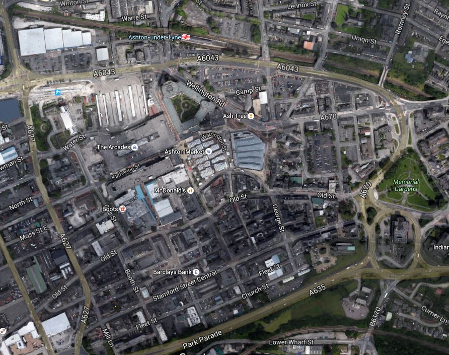
Ashton Town Centre
Note.
- The Stockport to Stalybridge Line at the bottom of the map.
- Park Parade is shown and I suspect Ashton Park Parade was in this area.
- Ashton-under-Lyne station at the top.
- Ashton-under-Lyne Metrolink station is in the top left of the map.
- Ashton-under-Lyne has a five trams per hour service to Manchester City Centre.
In my view, there are lots of possibilities to improve the transport links in Ashton Town Centre.
West of Stockport
The WSAtlins report discusses routes to the west of Stockport.
This group of routes would utilise the Stockport – Altrincham railway line west of Stockport Town Centre, which would be restored to a double-track formation with new stops being added in residential areas.
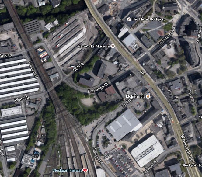
This Google Map shows Stockport station and Edgeley Junction.
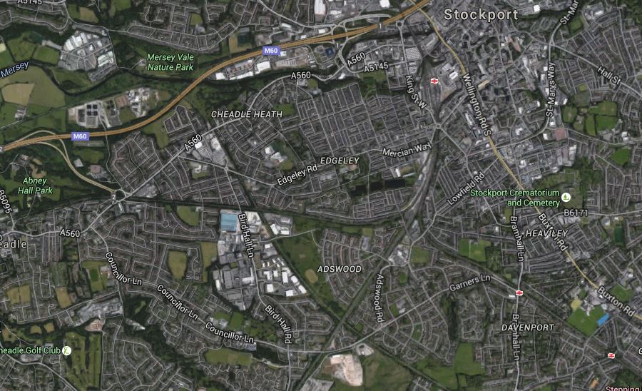
Stockport Station And Edgley Junction
The Mid-Cheshire Line, that goes between Stockport and Altrincham goes off to the west, passing south of Abney Hall Park and the Buxton Line goes to the south east, with stations at Davenport and Woodsmoor being visible.
The report also says this.
A new section of Metrolink route would be created from Stockport Interchange to the start of the Stockport – Altrincham railway line immediately south of Edgeley Junction. That would include a new stop adjacent to Stockport Station, fulfilling a long-held aspiration to provide a direct public transport link between Stockport Station and Stockport Interchange.
This Google Map shows the location of Stockport Interchange with respect to Stockport station.
Stockport Bus AndTrain Stations
Stockport Interchange is between the railway and the A6 towards the top and Stockport station is towards the bottom.
I suspect that given the layout of the Town Centre and the various modes of transport to connect, that an innovative solution will be needed.
- Stockport Interchange and Stockport station are about four hundred metres apart.
- Stockport station is on the thirty-three metre high, Grade 2* Listed Stockport Viaduct.
- Tram-trains from Manchester will come and go to the North.
- There could be five tram-trains per hour to each of Ashton and Manchester City Centre.
- Tram-trains from the Mid-Cheshire Line will come and go to the South.
- Was the new Platform 0 built to make the station more suitable for tram-train services?
A good design probably won’t be easy.
One solution would be to cut Platforms 0 and 1 in half, with the Northern ends accepting tram-trains from the North and the Southern ones, those from the South.
The area in between the two halves could be made into a small courtyard with seats, a coffee stall and a kiosk, so passengers arriving from the North would just walk to the court and wait for the appropriate tram-train to the south and vice-versa.
The tram-train platforms would also have level step-free access to Platform 2 for the expresses going South through Stockport.
Stockport to Manchester Airport
The WSAtkins report has a lot to say about the value of this route.
The main driver for the Stockport – Airport route is the expected transformation of Manchester Airport and its surrounding area into a multi-purpose regional economic hub. That will require a step-change in the proportion of trips to/from the area using non-car modes. A high proportion of trips travel to the area is from distances greater than 8km, for which stopping bus services cannot usually provide an attractive alternative to car travel, even with ambitious bus priority measures. TfGM indicated that there are many trips to the Airport that currently originate in or near Stockport.
It also says this about the route.
The route to the Airport would be achieved by a new curve at Baguley linking the Stockport – Altrincham line with the planned Manchester Airport Western Loop Metrolink line. TfGM has indicated that it expects many trips accessing the Manchester Airport area would interchange onto Metrolink from bus and heavy rail in Stockport Town Centre. The route would also facilitate access from its residential catchment to the national rail network at Stockport Station and at the proposed HS2 Station near Manchester Airport.
This Google Map shows the area to the north of Baguley Metrolink station.
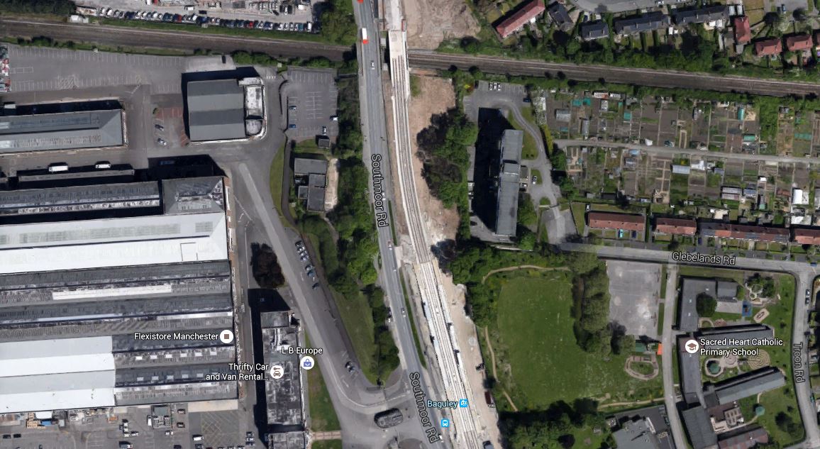
The Baguley Curve
The Stockport to Altrincham Line runs across the top and the scar down the middle is now the Airport Branch of the Manchester Metrolink.
Building a curve shows one of the useful advantages of tram-trains, which can turn tighter than a standard train.
The question has to be asked if tram-trains would run to the airport from both Althincham ans Stockport!
Stockport To Altrincham
The WSAtkins report has this to say about the route.
A Stockport – Altrincham service would connect residential areas on the Stockport – Altrincham corridor with both of their main local centres. The residential areas expected to benefit from new stops include Adswood, Cheadle Heath, Cheadle, and Gatley. The service would also improve the link between Altrincham and Stockport and its onward inter-urban rail connections.
I would assume that as nothing is menbtioned about the terminus at Althincham, this is not considered to have any issues.
Stockport To East Didsbury
Plans for this route have existed since the late 1990s. But following a southern raoute, rather than one along the Mersey could offer cost savings. The WSAtkins report has this to say about the new route.
This southern route from Stockport to East Didsbury would join the Hazel Grove to Sharston freight line via a new junction at Cheadle Heath, and then cross the River Mersey via a new alignment to East Didsbury. This has the potential to provide a new stop at Gorsey Bank, providing sustainable transport access to the proposed new development site. This route would provide Metrolink services to Manchester City Centre from the Edgeley and Adswood areas, and would provide much-improved connections from Stockport to Didsbury, Chorlton and Salford Quays and Trafford Park.
This Google Map shows the routes of the Stockport to Altrincham Line, the freight line from Hazel Grove to Sharston, the M60 Motporway and the River Mersey in the west of Stockport.
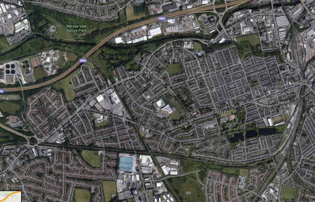
Stockport To East Didsbury
Note.
Stockport Station and Edgeley Junction in the East.
The Stockport to Altrincham Line runs horizontally across the map.
The freight line crosses the motorway, just to the right of the blue M60 label.
Towards A Circular Metrolink
The WSAtkins report says this.
With both the Manchester – Belle Vue – Marple/ Stockport and Stockport West routes built, a Manchester – Belle Vue – Stockport – Airport service could operate. This route would combine radial and orbital elements and could potentially be developed in the longer term into a more extensive orbital Metrolink system, for example by extending northwards beyond Reddish to Ashton-under-Lyne.
I suspect Manchester feels rather pleased that all those old railway lines across and around the city, weren’t dug up for housing and motorways.
Hazel Grove to East Didsbury
The WSAtkins report says this about running tram-trains betwen Hazel Grove station and East Didsbury Metrolink station.
The Hazel Grove to East Didsbury tram-train route would form an extension to the Manchester to East Didsbury Metrolink line, and would result in a Manchester – Hazel Grove Metrolink service.
It would utilise the following rail/ Metrolink lines.
- New Metrolink line from East Didsbury to Gorsey Bank, crossing the river Mersey to join the rail (presently freight only) line at a point north of the M60.
- Existing rail (presently freight only Sharston to Hazel Grove line) redoubled from Gorsey Bank to Hazel Grove.
The report also says this about the route.
It is envisaged that new stops would be provided at Gorsey Bank, Edgeley Lane, Davenport and Woodsmoor. The section of the scheme between East Didsbury and the existing Stockport-Altrincham rail line is identical to that proposed in the Stockport West group of routes, offering cost savings if both schemes were progressed. This service would not replace the existing heavy rail service but further work would be needed to define the appropriate mix of Metrolink and local rail services between Manchester and Hazel Grove.
So it looks like to create improved connectivity from East Didsbury can be delivered by tram-trains, some doubling of lines, electrification, signalling and devising a better timetable.
Tram-Trains Running On Manchester Metrolink
The WSAtkins report says this about possible constraints on running tram-trains on the Manchester Metrolink.
In Greater Manchester Metrolink has been developed by converting existing railway lines and disused rail alignments and building new on-street embedded rails. Metrolink therefore currently runs on a separate network to heavy rail, with an operating system managed on behalf of TfGM. The concept of a Metrolink type service utilising currently active heavy rail lines, which would continue to be used by trains as well as a Metrolink service, has been discussed for a number of years. This type of operation is referred to as ‘tramtrain’.
Tram-train is currently used in several locations in mainland Europe, and a pilot project in Sheffield was commissioned by the Department of Transport to consider the potential of adopting this approach in the United Kingdom. The pilot project is considering the technical issues but the actual running of a tram on a rail way has been delayed several times. The most recent timescale is to start running sometime in 2016.
The Greater Manchester Metrolink vehicles are of a different design to the Sheffield trams as they were designed to operate on converted heavy rail lines. As such, it is anticipated there may be fewer technical issues associated with tram-train operation in Greater Manchester. The outcome of the pilot is expected to influence the prospects for tram-train elsewhere in the UK.
I would hope that the Manchester Metrolink and the Sheffield Supertram, both decide to use the same tram-trains, as this would enable tram-trains to start in the centre of Sheffield and then run on the Hope Valley Line to Srockport and Manchester City Centre.
Conclusion
In my view, if the use of tram-trains happens in around Stockport, it would be a good thing for the area.
I would hope that the Manchester Metrolink and the Sheffield Supertram, both decide to use the same tram-train, as this would enable tram-trains to start in the centre of Sheffield and then run on the Hope Valley Line to Srockport and Manchester City Centre.
If the concept works and the tram-train tril is successful, Sheffield, Manchester and a lot of other places in the UK, are going to have tremendous fun with tram-trains.
T
Tram-Trains Hit The National Papers
Unless you live in Sheffield, the saga of the tram-train to Rotherham, will probably be unknown to you.
But today there is a balanced news item in The Times, which is entitled Tram-train plan to put commuters on track.
This is the first time, I’ve seen an item about tram-trains in the national media.
Perhaps, journalists are at last realising that the revolution is coming here!
Will The Canny Glaswegians Back Tram-Trains?
This article on Global Rail News is entitled Glasgow Planning Airport Tram-Train. This is said.
A tram-train, which would operate between Glasgow Central Station and Paisley Gilmour Street before moving onto a new light rail line to the airport, is the preferred option.
This Google Map shows the relationship between Paisley Gilmour Street station and the airport.
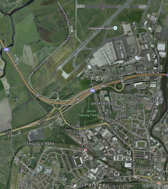
Glasgow Airport Tram-Train Link
Paisley Gilmour Street station is in the bottom right corner of the map and the Inverclyde Line runs past the Airport alongside the M8 Motorway, after passing through Paisley St. James station.
The article gives some interesting figures on the costs of the .link between Glasgow Central station and the Airport.
- A conventional rail link would cost £317million.
- A tram-train link would cost £144million
- A light rail rapid transit, which would need a change of vehicle at Paisley Gilmour Street would cost £102million.
These costs probably explain, why the Germans are building as many tram-train systems as they are!
Having seen tram-trains working in a number of German cities, I would choose a tram-train tomorrow.
These points should be noted.
- The tram-train trial between Sheffield and Rotherham should highlight the changes that would need to be made to existing stations, signalling and operation.
- The Class 399 tram-train, would probably be used. It is a standard German tram-train modified to run on our overhead line electrical voltage. Surprisingly, it is the Germans, who are non-standard.
- When running as trams, tram-trains have all of the tram’s agility to go round tight curves and sneak into cramped sites.
- When running as trains the performance of the Class 399 tram-trains is only marginally slower than the Class 314 trains, that current work the Inverclyde Line. So they would be able to mix it on the train line.
- Passengers will probably think that they’re on a train, that is perhaps a bit different.
- Liverpool are seriously thinking of using tram-trains to connect to Liverpool Airport.
The only unusual thing in the proposed Glasgow and Liverpool tram-train systems, is that tram-trains are running as trains for most of their routes, except for the branch into the airport.
Normally tram-trains run as trains outside of the City Centre and as trams inside it. But then both Liverpool and Glsasgow don’t have any other tram system.
If Manchester Victoria And Birmingham New Street Were The First Two Courses, Is Carlisle The Third?
Manchester Victoria and Birmingham New Street stations have one thing in common with the Eden Project – They all have roofs made of a plastic called ETFE.
According to this article on Network Rail’s web site, which is entitled £14.7m upgrade planned for Carlisle station, Network Rail are going to fit a third station with an ETFE roof. This is said.
Eight of the platforms will be rebuilt, and an updated roof will also help to make the station much brighter.
The work will significantly extend the life of the station’s roof structure, which dates back to 1847, as well as reducing the amount of maintenance it will need. The existing roof covering will be replaced with one made from ETFE (ethylene tetrafluoroethylene), the same material used for the roofs of the new Manchester Victoria and Birmingham New Street stations.
There’s also a computer visualisation of how Carlisle station will look.
New Roof At Carlisle Station
This Google Map shows the station.
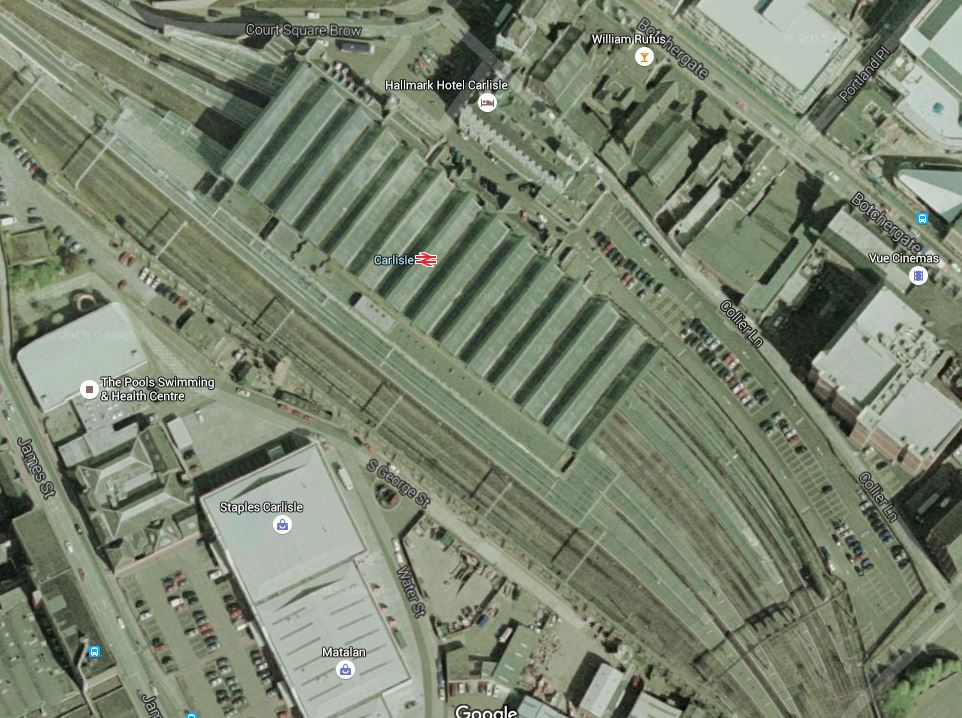
Carlisle Station
Note there are three through platforms, two bay platforms to the North and three to the South. I don’t think too many of the bay platforms are electrified.
I just wonder, if whilst they are rebuilding the platforms, they will electrify some of the bay platforms. Or at least do the preparation work!
This would enable IPEMUs to be able to be recharged, if they were serving routes out of Carlisle, like the Tyne Valley Line, Settle to Carlisle and possibly an extended Borders Railway.
Incidentally, I think that by the time Carlisle station is updated in 2019, IPEMUs or battery trains, would have enough range to reach Edinburgh. You can see the headlines in the Sun!
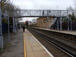
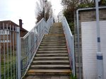
Investigating St. Johns Station
St. Johns station is a curious one, in that it is just two platforms on the slow lines, amongst a forest of lines.
This map shows the lines around St. Johns station to Lewisham, New Cross and New Cross Gate stations.
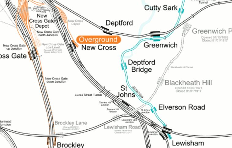
Lines Around St. Johns And Lewisham Stations
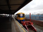
These are pictures I took of the station.


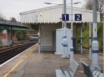


As the pictures show, it is a fairly basic station, although it does get over half a million passengers a year.
On the other hand, it does have Southbound services to Lewisham, Orpington, Hayes, Slade Green and a host of places all over South East London.
I believe that if the station were to be upgraded with step-free access to the street, a nice warm waiting room, a coffee stall and excellent information, then this station would become the preferred interchange for passengers on East London Line trains wanting to go to and from many places in South East London.
Changing At New Cross
If you get an East London Line Class 378 train and want to continue your journey South from New Cross station, you often just walk across the platform to catch your next train.
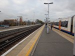

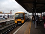
The pictures show how I changed at New Cross for St. John’s station.
There is no problem going South but coming North, you have to climb over the bridge from platforms A or B to get to platform D. The walk is step free, but modern station layouts would be designed, so that you walk across between trains or wait on the platform for a few minutes, until your train arrives.
In an ideal world Northbound East London Line services would start from Platform A, with Platform B being reserved for services to Cannon Street.
New Cross Gate station uses a layout with the East London Line trains calling at the outermost platforms.
This would not be possible at present with the trains terminating at New Cross in Platform D, as they have no means to get to Platform A, without reversing out and crossing the busy lines through the station.
But if the East London Line trains terminated South of New Cross, this would not be a problem.
The service frequency from New Cross to Dalston Junction would still be the same as now, but there would be differences.
- Passengers joining the railway at New Cross wanting to use the East London Line to go North would have to cross the step-free footbridge, just as passengers for Cannon Street do now.
- Usually, because the Northbound East London Line train is waiting, you can sit and wait in a warm train, rather than on a draughty platform.
- Passengers from St. John’s, Lewisham and other stations in the South might avoid at least one change of train, by using East London Line trains.
Remember too, that from 2019, Crossrail will run through Whitechapel, giving better access to the West End, Paddington. Heathrow and East London. Charing Cross and Cannon Street aren’t exactly connected well to Crossrail. This will surely see a lot of passengers going between New Cross and Whitechapel.
An Opportunity At Catford
I’d never been to Catford before, but several things drew me to the area.
- Catford Bridge station is mentioned as a possible stop for the Bakerloo Line Extension.
- Maps show it is very close to Catford station and I wondered why they weren’t one station.
- Catford is mentioned in the Appendix of TfL’s Transport Plan for 2050, as a place for a new link and/or station.
This Google Map shows the two stations.
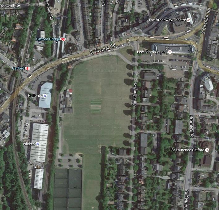
Catford Stations
The two stations are only about eighty metres apart and they are not that far from Catford Town Centre. The big drawback is that the road between the stations and the centre is the dsreaded South Circular Road, so it is busy with traffic.
To be fair to Lewisham Council, they have produced this document entitled Catford Town Centre Local Plan.
The plans are sensible and envisage improving the area of the two stations considerably.
This pictures show the area now.


Barratts are building a large number of dwelling on the former Catford Stadium site between the stations. They call it Catford Green and there are more details on the Lewisham Council web site. This is said on the council web site.
The development – located between Catford’s two stations and Ladywell Fields – will comprise 13 blocks up to a maximum of eight storeys in height, along with associated landscaping, including naturalisation of the River Ravensbourne and the creation of a public plaza between the stations, plus a footbridge to Doggett Road.
I’m no architect, but even I can see that the site has a lot of possibilities, especially as the lines through Catford are on a viaduct and are thus higher than the lines through Catford Bridge. So perhaps this natural slope could be used to advantage.
Remember too, these facts.
- Over a million people use both stations in a year.
- Interchange passengers are over fifty thousand a year.
- I think it is true to say that neither station is very customer-friendly and I suspect Catford is rather cold and draughty.
- Catford station will see new Class 700 trains in a few years, as it is on Thameslink.
The effects that the last fact will have on passenger numbers, won’t be negative.
I think it will be unlikely if the two stations are not linked to each other and the town centre by an imaginative development, within the next few years.
Fasciitis In My Foot
I have got fasciitis in my right foot. It has nothing to do with my current conditions, as I have had it at odd times over my lifetime.
The last time was probably about twelve or fifteen years ago and it was a lot worse than my current bout.
A chiropodist and my doctor have both recommended rolling a cold drinks can with my foot.
I keep the tin in the fridge. Incidentally, I chose the tomatoes as it is more robust than say a can of Coke.
Doing it on a carpet is easier too!
Let’s hope it all works!
Incidentally, are there any other words with a double-i in the middle? You have a few plurals like radii with the letters at the end.
Sounds like a Pointless question to me!
Signs Of The Northern Line Extension
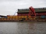
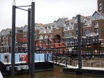
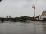
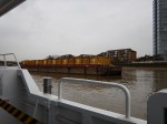
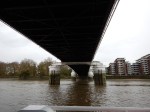
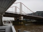
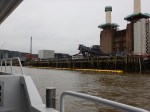
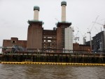
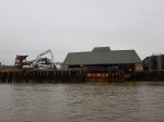
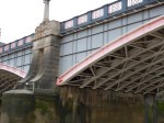
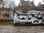
I have been past Battersea Power Station twice in the last few days and have been able to take pictures of the conveyors linking the excavations of the now-started Northern Line Extension to the river.
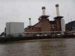
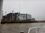
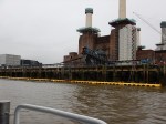
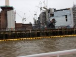
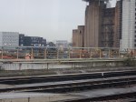
I do wish I could find a train from which it is possible to get a decent photograph of the conveyors and the barge, which is used to take the spoil away. Sadly, it wasn’t there when I took the Thames Clipper trip yesterday.
In this article in the Railway Gazette, the following is said.
Boring of twin tunnels is due to begin in early 2017 and is expected to take six months to complete. An expected 680 000 tonnes of material would be excavated. A 300 m long conveyor belt will carry 92% of this to the River Thames, from where barges will carry it to Goshems Farm in East Tilbury to the east of London.
This is only a small project compared to Crossrail or Crossrail 2, but you have to wonder, if we should be doing a few smaller rail projects like this, to squeeze more capacity out of our overcrowded railways, metros and trams.
In London some smaller projects come to mind.
- Extending the Victoria Line to Herne Hill station, which I wrote about in Could The Victoria Line Go To Herne Hill?
- Extending the Bakerloo Line, which according to this TfL press release has overwhelming support.
- Reinstating the Hall Farm Curve to allow direct services between the Chingford Branch Line and Stratford.
- Connecting the Central and East London Lines at Shoreditch High Street station.
The only certainty, is that the projects that get started will surprise us.
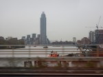
Sailing Down The River
As a child, I enjoyed going for a boat trip on the Thames. I always wanted to go further than just a quick turn at Big Ben, but my mother said it was too expensive. Especially, if you took into accpunt, the cost of going up on the Piccadilly Line and tea in Lyons Corner House.
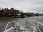
So this morning, I took the Underground to Putney Bridge station before walking across the river to Putney Pier, where I got a Thames Clipper to Blackfriars.


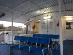
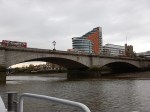
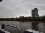


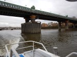
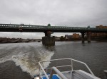


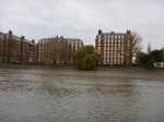

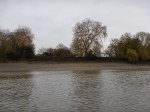

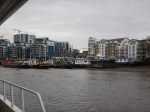
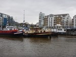


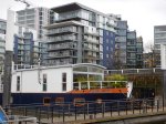
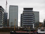
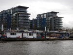
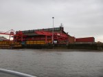


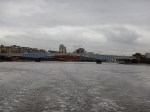
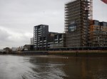
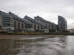
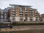
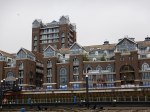


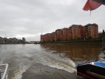
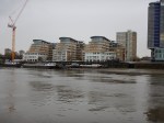
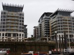
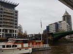
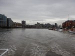
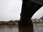


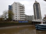
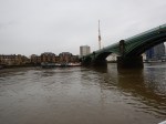

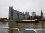
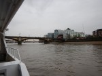
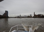
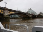
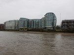


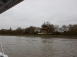


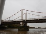
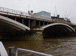


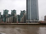


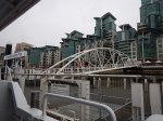

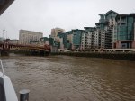

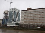
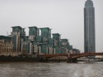
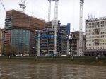
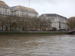
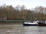

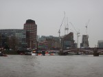


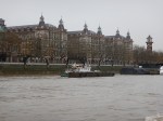
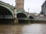

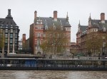
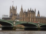
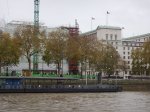
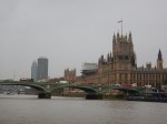


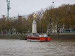
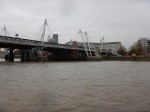
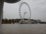
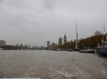
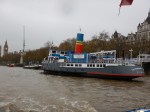

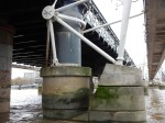


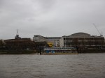
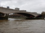

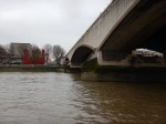
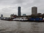

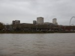
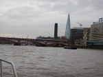

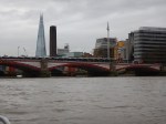

The reason I did it so early, as this is a trip that is only possible in the morning rush-hour. Even so my nine o’clock boat wasn’t very full and there were just two of us on the observation deck.
It’s certainly the best time to do the journey if the weather is fine!
