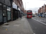
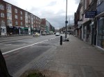
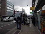
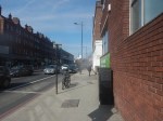
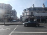
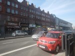
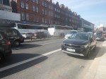
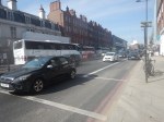
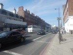
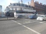
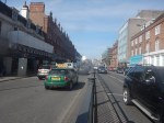
Walking Down Finchley Road And Frognal Station To The Finchley Road Coach Stop
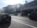
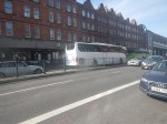
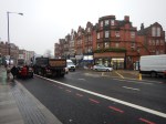
This morning, I walked down Finchley Road from the bus stop at Finchley Road and Frognal station to the Finchley Road coach stop.
I took these pictures as I walked.

Note.
- I’d arrived on a nearly-new Wrightbus electric bus on route 113 from Edgware station.
- The walk was downhill and fairly easy.
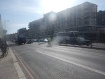
- I crossed Finchley Road using a light-controlled pedestrian crossing.
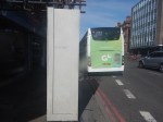
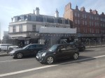
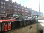
- The pavement by the coach stop was rather strewn with litter.
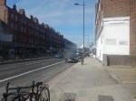
- London buses seemed to be stopped just to the North of the coach stop.
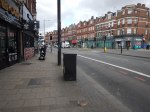
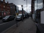
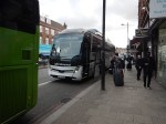
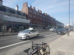
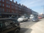
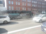
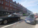
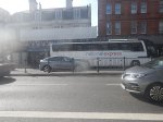
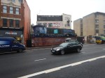
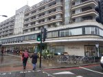
The coach stop wasn’t too crowded despite five or six coaches stopping, whilst I was there.
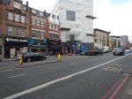
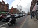
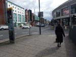
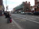
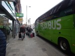
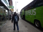
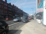
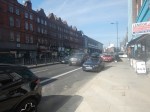
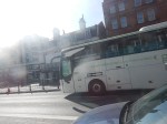
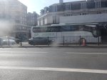
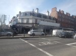
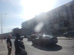
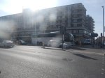
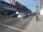
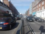
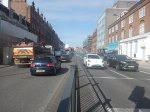
Coach Chaos At The Finchley Road Coach Stop On A Sunday Lunchtime
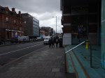
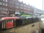
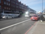
I went to Finchley Road coach stop at lunchtime today and took these pictures.


Note.
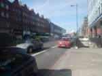
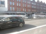
- Finchley Road coach stop is on the Finchley Road, just to the North of Finchley Road tube station.
- The Finchley Road coach stop is lavelled CL.
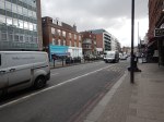
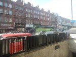
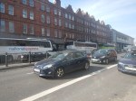
- Not all coaches stopped at the Finchley Road coach stop.
- I did see a double-deck coach taking visitors to the Harry Potter Attraction pass through ar Victoria Coach station and the Finchley Road.
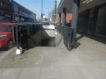
- There is a pedestrian subway under Finchley Road.
- There is a second stop for Southbound coaches on the other side of the Finchley Road.
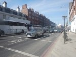
- There are a few tatty shops along the pavement selling snacks, coffee, tea and other travellers needs.
- In the early pictures note, the large number of travellers queuing along the pavement in front of those shops.
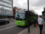
- It looks like a lot of those travellers, were waiting for the Flixbus.
- The Flixbus stayed parked for several minutes.
- Finchley Road tube station is not step-free.
- Finchley Road tube station is served by the Metropolitan and Jubilee Lines.
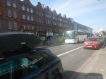
I took most of the pictures from the opposite site to the Northbound coach stop, as the pavement was rather crowded.
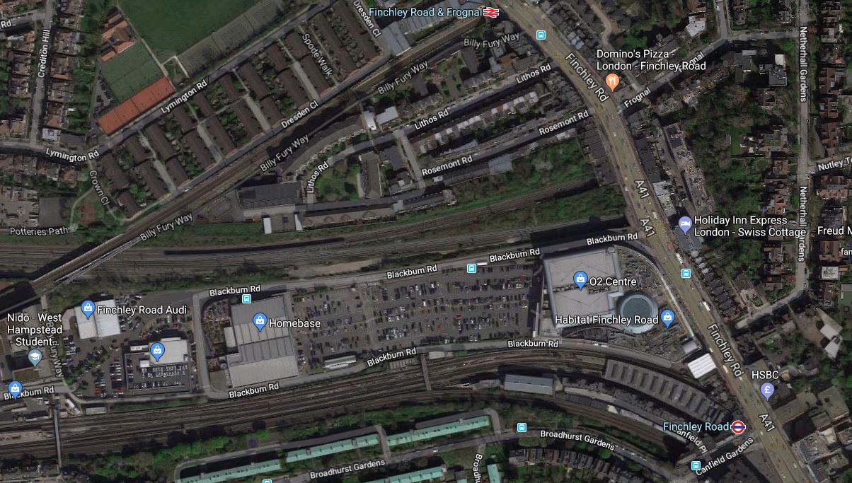
This Google Map shows Finchley Road, the tube station and the coach stop.
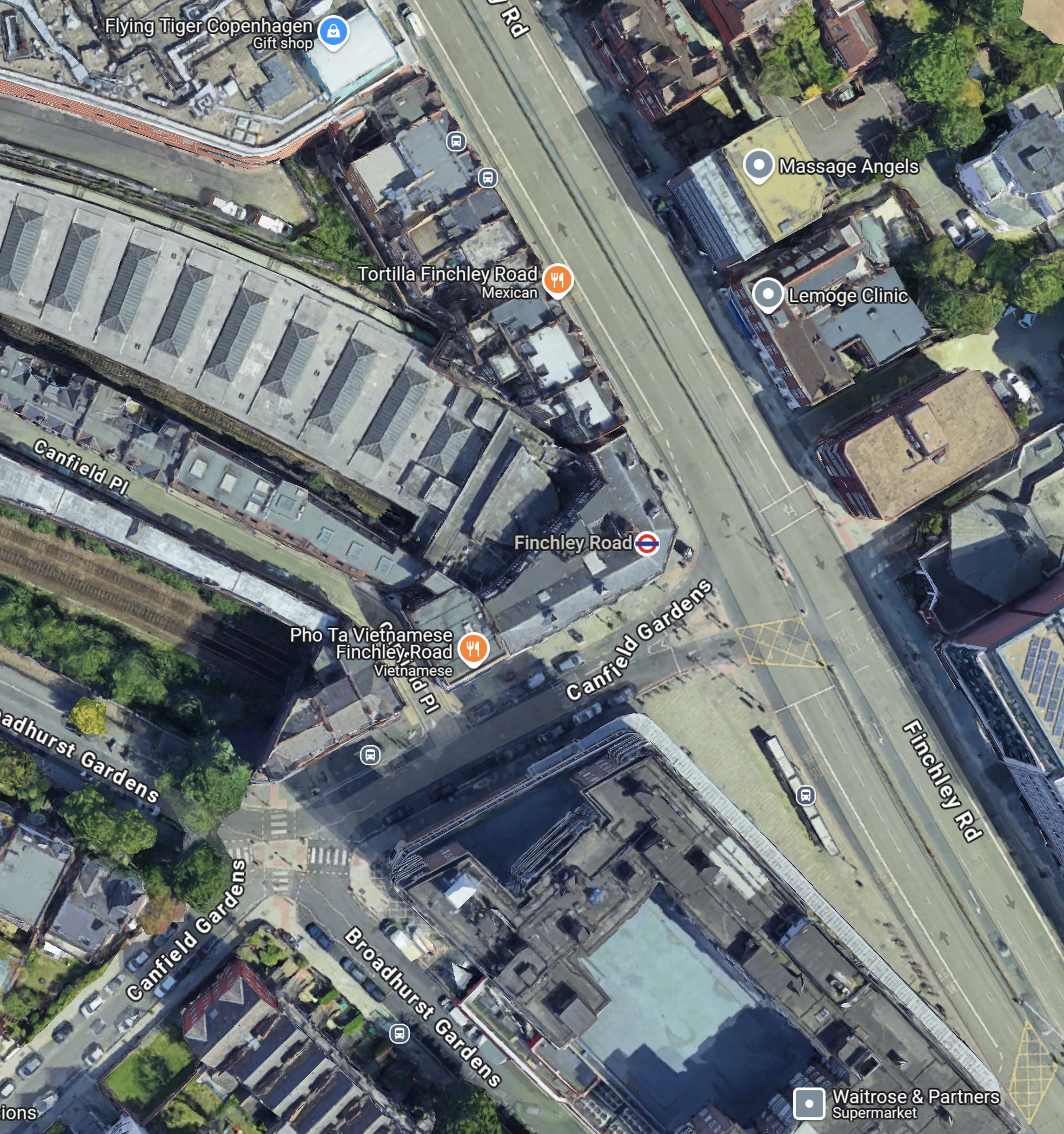
Note.
- The Finchley Road is the dual-carriageway road.
- The two grey dots at the Northend end of the Finchley Road, indicate the Coach stop and to its North a bus stop.
- The larger orange dot indicates the Tortilla restaurant, which is visible in several of the pictures.
- The London Underground roundel indicates Finchley Road tube station.
- The building curving away to the North-West is the train shed for the four platforms of Finchley Road tube station.
South of Finchley Road tube station, is a large Waitrose in the old John Barnes building.
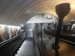
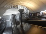
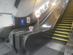
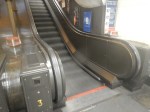
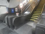
This pictures show some of the Train to Street access at Finchley Road station.
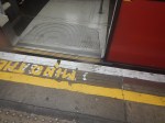
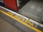
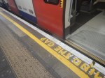
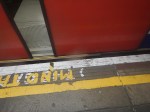
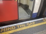
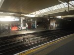
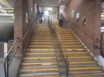
Note.
- There is a high step out of the Jubilee Line trains.
- The steps from platform to the street are steep with a heavy case or a baby in a buggy.
But it’s a long time, since I’ve done any travelling with a baby.
I have some further thoughts.
Travelling With Heavy Luggage, In A Wheelchair Or A Baby Buggy
It might be better to take a 13 or 113 bus to Finchley Road tube station, as the stop is just South of the station and no more than fifty metres from the Finchley Road coach stop.
You could even get the bus from Swiss Cottage station, which is the next station South from Finchley Road and has a complete set of traditional escalators with uplighters.

Note.
TfL Announces The Next Tube Stations To Be Prioritised For Step-Free Access To Meet The Mayor’s Bold Accessibility Targets
The title of this post is the same as that of this press release from Transport for London.
These are the first two paragraphs.
Transport for London (TfL) has outlined the ten London Underground stations it will be reviewing for potential step-free access, as it progresses plans to further improve public transport accessibility in London.
These ten stations, spread across London, have been identified using an approach focused on the benefits to customers, such as reducing journey times for those needing to use step-free access and reflecting issues that impact the delivery of step-free access such as the feasibility of new lifts, sufficient space for work to be carried out and the depth of each Tube station.
The ten stations listed are.
- Alperton
- Arnos Grove
- Burnt Oak – Some work has been started, but paused because of the pandemic
- Eastcote
- Finchley Road
- Northolt – Some work has been started, but paused because of the pandemic
- North Acton
- Rayners Lane
- West Hampstead
- White City
The linked posts will show the latest status at the stations.
Other stations are named in the press release, where work will be done, if funds are available.
- Boston Manor
- Brondesbury
- Colindale
- East Putney
- Hackney Downs
- Hatton Cross
- Leyton
- North Ealing
- Park Royal
- Peckham Rye
- Queen’s Park
- Rickmansworth
- Ruislip
- Snaresbrook
- Surrey Quays
in addition, TfL will be looking at the Northern Line between Elephant and Castle and Morden, where there is a gap in step-free access.
These are a few thoughts.
The London Mayor Election In 2024
How many of these stations are in areas, where Sadiq Khan is short of votes for the 2024 election?
Arnos Grove Station
Work has already started at Arnos Grove station, as I showed in Are Arnos Grove And Northolt Tube Stations Going Step Free?.
The BBC Jumped The Gun
The press release now explains the BBC story from Mpnday, that I wrote about in Are Arnos Grove And Northolt Tube Stations Going Step Free?.
A Walk Down The Finchley Road
Aleks2cv made this comment on my long post about the West London Orbital Railway, which was entitled New Railway Line For West London Proposed.
West London’s version of Goblin, an available resource with potential. All urban London so suitable for Overground 4 car metro service.
I would add extensions to your outline.There is space at the former Midland Finchley Road station for a single terminating platform with existing street facade. Interchange with North London, Metropolitan, and Jubilee and coaches on Finchley Road such as Stansted AirLink.
It got me thinking.
This is only part of the comment and I’ll deal with the rest after Christmas, if I renmember.
This is a Google Map of the area along the Finchley Road, between Finchley Road and Frognal station in the North and Finchley Road station in the South.
It is one of those interchanges, you might do in a North to South direction, as you have gravity assistance.
This second map from carto.metro.free.fr shows the various rail lines.

Note, the following lines can be seen in both maps.
- The Midland Main Line through West Hampstead Thameslink station, which crosses Finchley Road between Finchley Road and Frognal and Finchley Road stations.
- The Metropolitan and Jubilee Lines going through West Hampstead and Finchley Road stations.
- The North London Line going through West Hampstead and Finchley Road and Frognal stations.
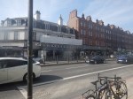
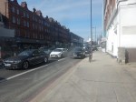
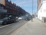
I took these pictures as I walked down Finchley Road.

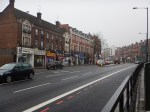


My thoughts on various parts of the area.
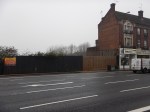
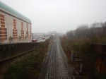
Finchley Road And Frognal Station
The station is a very poor example.
- There is no step-free access.
- Station buildings are minimal.
- There is a ruin next door.
- There is a need for perhaps a light-controlled crossing outside the station, as the road is very busy.
Improvement wouldn’t be helped, by the fact that the station is at the end of Hampstead Heath tunnel.
This Google Map shows a close-up of the station.
The only solution is probably a full rebuilding with perhaps a block of housing or offices on the top of a modern station.
The Midland Main Line
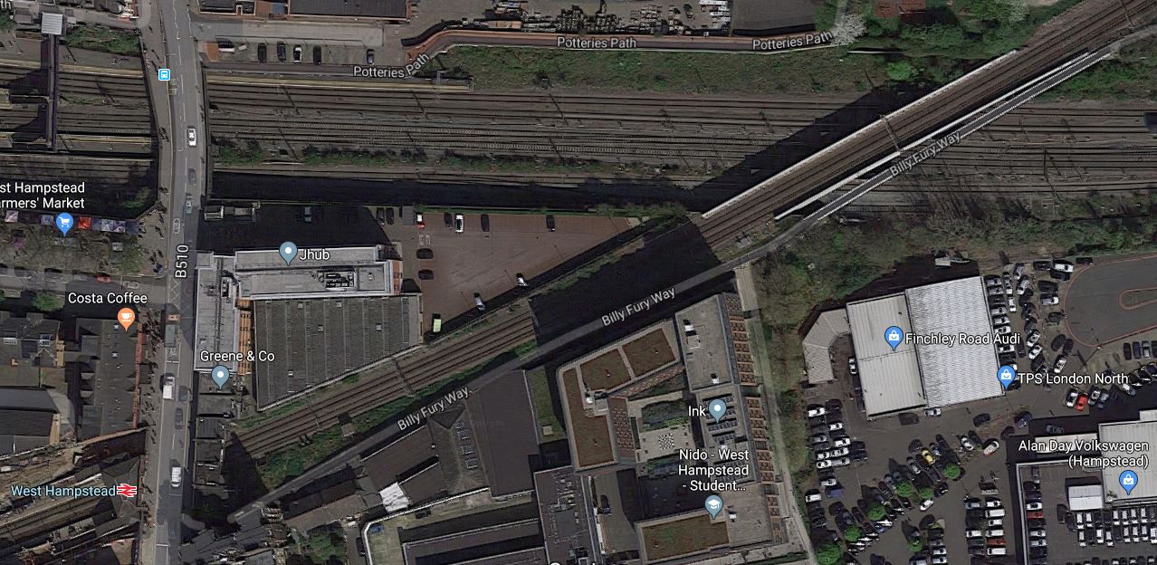
This Google Map shows the Midland Main Line as it passes under Finchley Road, to the North of the O2 Centre.
Note.
- There is not much space between the railway and the service road for the O2 Centre.
- The large surface-level car park of the O2 Centre is visible.
- The two slow lines are the Northern pair of lines, with the two fast lines to the South.
At least there is space in the middle of the lines.
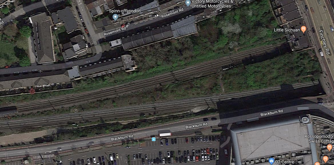
A Terminus For The West London Orbital Railway
Aleks2cv in his comment, felt that the West London Orbital Railway can be extended to Finchley Road.
I think this could be very difficult, as the West London Orbital Railway will probably be a single track railway sneaking up the South side of the Midland Main Line.
- There is very little space.
- Passengers would still have to walk about a hundred metres to connect to the Underground.
- Connecting to the Overground would require a stiff walk up the hill.
This Google Map shows the limit of the freight line, that could possibly be turned into the West London Orbital Railway.
Note.
- The railway going East-West is the Midland Main Line.
- The diagonal railway is the North London Line through West Hampstead station.
In the shadows on the South side of the Midland Main Line, you can just see tyhe freight line, which connects to the Down Fast of the Midland Main Line to the East of the bridge.
It looks to me, that years ago, the land now occupied by the O2 Centre was some form of railway yard or factory premises.
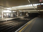
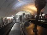
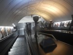
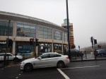
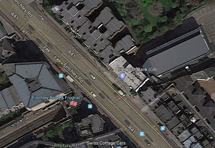
Finchley Road Underground Station
Finchley Road Underground station is a station in need of a degree of refurbishment.
- It is not step-free.
- Pedestrian access to the O2 Centre is not good.
But it is a cross-platform interchange between the Jubilee and Metropolitan Lines.
This Google Map shows the station.
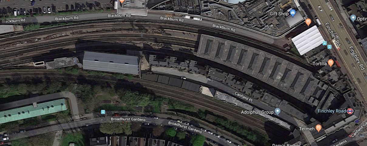
Note.
- The two Chiltern tracks to the South of the station.
- The closeness of the Western end of the station to the Car Park of the O2 Centre.
- There is space to the South of the Chiltern tracks.
I feel very much that this station could be developed sympathetically to be a very good station, that could be paid for by housing on the top.
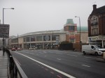
The O2 Centre
I think the O2 Centre could be the key to Aleks2cv’s idea for the West London Orbital Railway.
- The O2 Centre appears tired.
- Public transport can take people easily to the shopping at Oxford Street or Brent Cross.
- Surface car parking is so Twentieth Century.
As the O2 Centre is owned by British Land, who are one of the UK’s biggest property companies, I think that it is likely the site could be redeveloped.
Suppose the site was developed as follows.
- It extended over and connected to the Western ends of the platforms at Finchley Road Underground station.
- A two-platform terminal station for the West London Orbital Railway could probably be fitted in reasonably close to the Underground station.
- A small bus station.
Over the top would be shops, offices, housing or whatever was desired.
Conclusion
I believe that something will be done to redevelop this site.
Whether it has the terminal for the West London Orbital Railway underneath, will only be made clear, when planning permissio is given.
