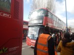
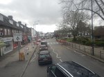
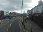
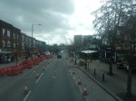
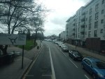
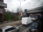
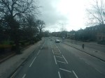
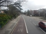
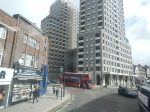
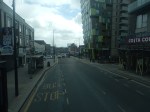
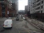
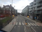
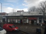
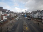
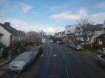
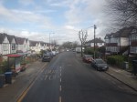
Riding The 182 Bus Between Harrow Bus Station And Brent Cross
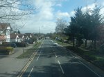
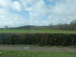
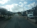
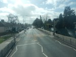
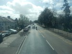
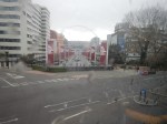
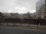
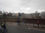
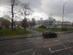
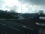
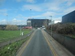
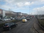
I did this journey, which could be part of the Superloop, in good weather, and was able to take these pictures.


Note.
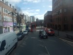
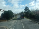
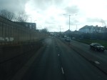
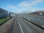
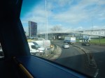
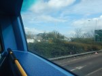
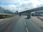
- The roads were not bad and were partly two lanes each way, with large roundabouts at junctions.
- I suspect the bus was going at between 30 and 40 mph most of the way.
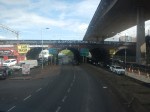
- There was still quite a lot of traffic.
- It is a distance of about 7 miles.
- The timetable says that buses run every 10-13 minutes.
- Harrow-On-The-Hill station is next to Harrow Bus station.
- Harrow-On-The-Hill connects to the Metropolitan Line and Chiltern
- Northwick Park Hospital is on the route.
- Sudbury and Harrow Road station connects to Chiltern.
- South Harrow station connects to the Piccadilly Line.
- Wembley Central station connects to the Bakerloo and Watford DC Lines and National Rail.
- Wembley Stadium station connects to Chiltern.
- Wembley Park station connects to the Metropolitan and Jubilee Lines.
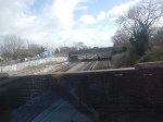
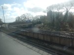
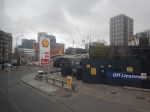
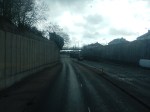
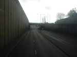
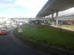
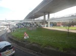
The journey took about 70 minutes, mainly because of the traffic at the road works.
I have a few thoughts.
The Route Of The Bus 182 Could Be Part Of The Superloop
I feel my journey today, proved that this would be part of a feasible Superloop leg between Harrow and North Finchley bus stations.
A Chiltern Metro
Wikipedia says this about a proposed metro service between Marylebone and West Ruislip stations.
- The Metro would have a frequency of four tph.
- It would call at Wembley Stadium, Sudbury & Harrow Road, Sudbury Hill Harrow, Northolt Park and South Ruislip.
- The service would require a reversing facility at West Ruislip.
- There would need to be passing loops at Sudbury Hill Harrow, and Wembley Stadium.
Given that the Chiltern Metro was first proposed over a decade ago, perhaps the concept could be increased in scope.
- Housing and other developments along the route may suggest that a station further out like High Wycombe might be a better terminal.
- ERTMS in-cab digital signalling is likely to be installed at some time, which would decrease headways between trains and allow more services.
- Electrification is likely in some form before 2040 and this will improve train performance.
- If Neasden station were to be rebuilt, as a comprehensive transport and residential development, I believe that this Metro service should also call at Neasden, as it would complement the West London Orbital Railway.
I believe that a review of the Chiltern Metro may mean, that an improved version is worth creating.
Superloop – Will It Be The North Circular Road Most Of The Way Between Harrow And Royal Docks?
This draft map from TfL illustrates the concept of Superloop.
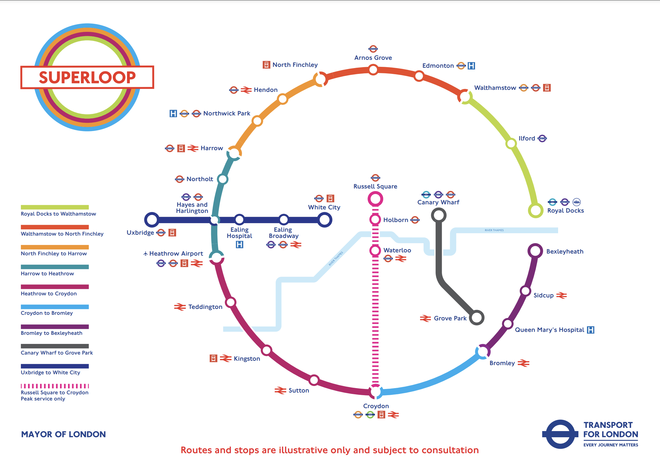
In this post I am considering the section of the the North Circular Road (A406) between the Hangar Lane Gyratory System, where it crosses the A40 in the West and the roundabout , where it crosses the A13 at Beckton in the East.
- This section is a grade-separated dual-carriageway all of the way between Hangar Lane and Beckton.
- Hendon, North Finchley, Arnos Grove, Edmonton, Walthamstow, Ilford and Royal Docks are not far from the A406.
- Several bus routes already run on the A406.
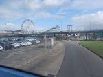
The large Brent Cross Shopping Centre is also just outside the A406 and a new Brent Cross West station will be opening soon.
I’ll now look at the three Northern and North-Eastern sections.
Harrow And North Finchley
This section is shown in orange.
- It calls at Northwick Park hospital and Hendon. both have rail connections.
- Brent Cross Shopping Centre could be on the route, if the A406 is used.
- London Bus 182 runs between Harrow bus station and Brent Cross Shopping Centre via Northwick Park hospital.
Could the 182 bus be extended to North Finchley, where there is a new bus station?
This Google Map shows the stations around the Brent Cross Shopping Centre.
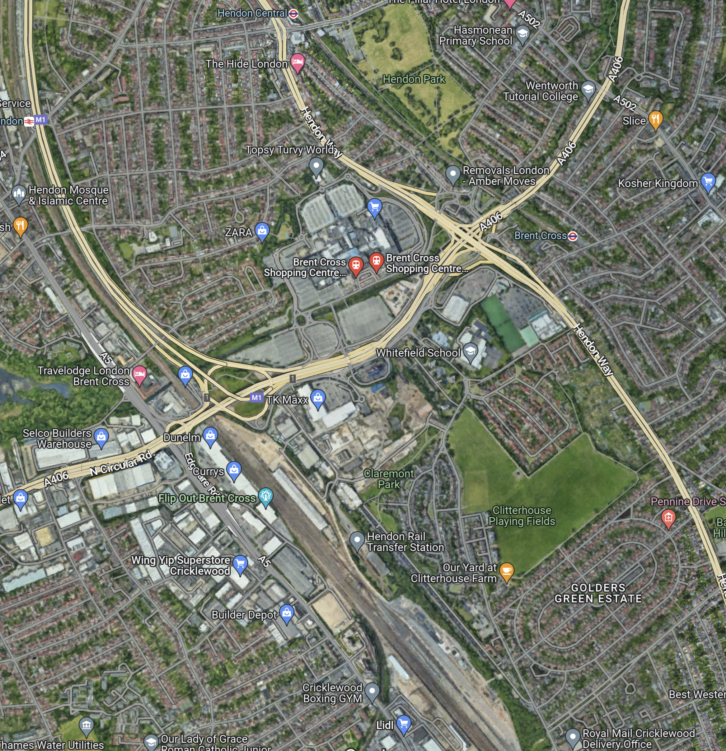
Note.
- The railway running between the North-West corner of the map and the bottom of the map is the Midland Main Line.
- The road running between the North-East corner of the map and the left of the map is the North Circular Road.
- The road running down the right hand side of the railway is the M1, which joins the A406 in the large junction.
- The other major road to the right of the map, is the Hendon Way.
- The station in the North-West corner of the map is Hendon.
- The station being built in the bottom of the map on the Midland Main Line, is the new Brent Cross West station.
- The station in the North-East corner of the map is Brent Cross on the Northern Line.
I am certain that a Superloop bus could run from Harrow bus station and Northwick Park hospital, and visit the required number of the stations around the Shopping Centre, before trundling on to the new North Finchley bus station for some refreshment before returning to Harrow.
I feel that the Superloop bus could use the North Circular Road from the shopping centre and then turn North on to Finchley High Road (A 1000).
North Finchley And Walthamstow
This section is shown in red.
- It calls at Arnos Grove and Edmonton.
- London Bus 34 runs between Walthamstow bus station and Barnet. It runs for some of the way along the North Circular Road and passes Arnos Grove, Silver Street and the North Middlesex Hospital.
I am certain, that a Superloop bus could run between Walthamstow bus station and North Finchley, using a similar route to the 34.
Walthamstow And Royal Docks
This section is shown in lime.
- It calls at Ilford for the Elizabeth Line.
I am certain, that a Superloop bus could run between Walthamstow bus station and Royal Docks, using a the A406 and the A13.
Conclusion
After this simple analysis, it looks possible to use the use the North Circular Road between Harrow and Royal Docks.
