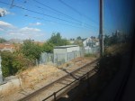
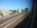
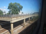
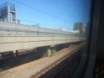
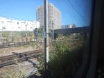
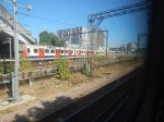
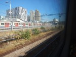
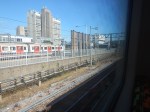
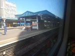
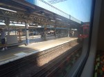
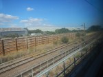
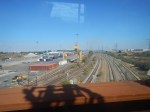
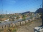
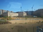
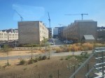
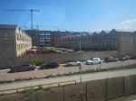
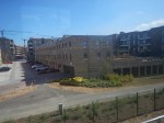
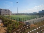
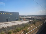
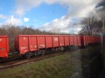
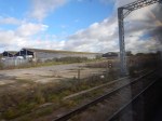
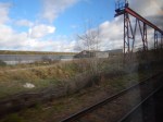
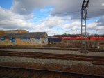
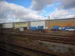
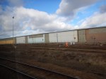
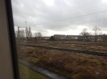
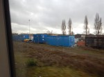
Woodgrange Park To Barking Riverside – 8th August 2022
This post and Barking Riverside To Barking – 8th August 2022 are a pair and show the area on the date given. This is so I can show it as it develops in the next few years.
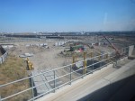
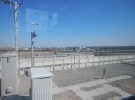
I took these pictures going to Barking Riverside station.
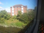
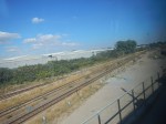
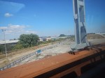
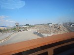
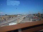


Note.
- The route passes the ventilation shaft for High Speed One.
- It goes through and over the concrete viaducts and bridges of Barking station.
- Renwick Road station could be built in the area to serve five thousand proposed houses.
- It then crosses over the Barking Freight Terminal, which is sure to be developed either as a larger freight terminal or housing.
- The houses of Barking Riverside have sheds in their gardens.
What are the circular structures in the penultimate picture for?
Through Barking To Barking Riverside
The excellent maps from carto metro now show full details of the route of the Barking Riverside Extension of the Gospel Oak to Barking Line.
This map shows the tracks going through Barking station.
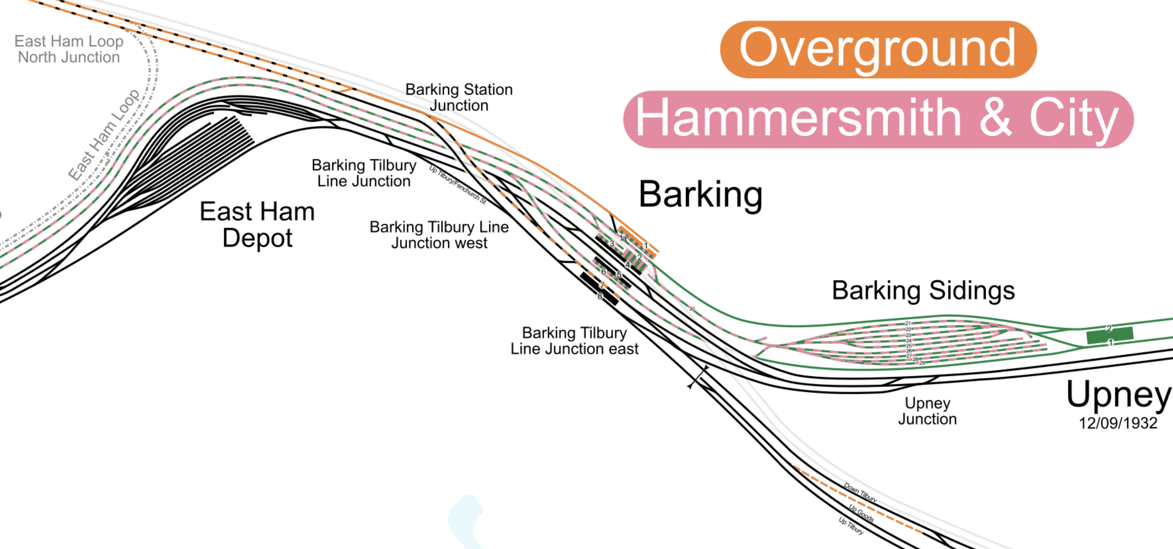
Note.
- The District Line is shown in green.
- The Hammersmith & City Line is shown in mauve.
- The London Overground is shown in orange.
- Where lines are shared, they are shown dotted in both colours.
- The two tracks going North West are the Gospel Oak to Barking Line to the West.
- There is a flyover linking these two tracks to Platforms 7 and 8 on the South side of the station.
All Overground trains currently terminate in Platform 1, which is the Northernmost of the seven platforms.
After services to Barking Riverside start, some or all of the services will use the flyover and share Platforms 7 and 8 with c2c’s half-hourly service between Fenchurch Street and Grays.
- Platform 7 will handle c2c services to Grays and Overground services to Barking Riverside.
- Platform 8 will handle c2c services to Fenchurch Street and Overground services to Gospel Oak.
Passengers who need to reverse direction to perhaps go from Barking Riverside to Purfleet would just walk across the island platform shared by Platforms 7 and 8.
This second map shows the tracks to the East of Barking station.
Note.
- The Overground tracks sit between the existing lines.
- If Renwick Road station is added to the extension, will it have an island platform between the tracks?
This third map shows the route to Barking Riverside station.
Note.
- Barking Riverside station is a two-platform station.
- There is a crossover outside the station to allow both platforms to be used to terminate trains.
Strictly speaking to handle the four trains per hour (tph) that are likely to use the station, one platform could be enough, but it looks like the station has been designed for extension across the river to Abbey Wood and Thamesmead.
3,000 Homes To Be Built Next To Dagenham Dock Railway Station
The title of this post, is the same as that of this article on Ian Visits.
These are the first two paragraphs.
A sleepy railway station in East London is due to get a lot busier as a large housing development is to be built next to it.
The former Dagenham Stamping Plant car works site has been cleared, and has now been bought by Peabody housing association for development. The initial phase will see 1,550 affordable homes built, supported by an £80 million grant from the Mayor’s Affordable Housing Programme.
There is a lot of housing under construction the area and the c2c lines and the London Overground are being expanded to cope.
- The Gospel Oak and Barking Line is being extended to Barking Riverside station.
- Renwick Road station may be added to this route, where it joins the c2c lines.
- Dagenham Dock station is now fully step-free.
- A new station is to be built at Beam Park to provide a link to housing development.
But there is still only two trains per hour (tph) through Dagenham Dock and Beam Park, as opposed to the four tph, that will run to Barking Riverside.
The simple solution would be to improve the Fenchurch Street and Grays service.
- Currently it is two tph.
- The service calls at Limehouse, West Ham, Barking, Dagenham Dock, Rainham and Purfleet.
- Renwick Road and Beam Park will be added to this service, when and if, they are built.
It needs to have the same frequency as Gospel Oak to Barking which is four tph.
So how could this frequency increase be provided?
For a start, the bay platform at Grays could probably handle four tph with improvement and the route possibly with some signalling improvements could probably cope.

The bay platform at Grays station would probably need lengthening.
It’s just where do you terminate the trains at the Western end?
Fenchurch Street is probably at capacity, as it handles 8 tph in the Off Peak.
- 4 tph – Shoeburyness
- 2 tph – Southend Central
- 2 tph – Grays
But the station handles up to 20 tph in the Peak.
Could it be that with the installation of full digital ERTMS signalling on this route, that four tph between Fenchurch Street and Grays could run all day?
A Possible Crossrail Branch
Crossrail is a herd of testosterone-loaded elephants in the room, that have been locked up by some very poor decision making from the Mayor and Transport for London.
- If ERTMS signalling is one of the keys to unlocking capacity on the tunnels for Crossrail and Thameslink, could its application to c2c services open up possibilities for serious new services in East London.
- As I said, ERTMS signaling could open up the capacity into Fenchurch Street, but would it also allow Grays to be a terminal for Crossrail?
This map from cartometro.com shows Forest Gate Junction, where the Gospel Oak to Barking Line connects to the lines into Stratford and Liverpool Street.
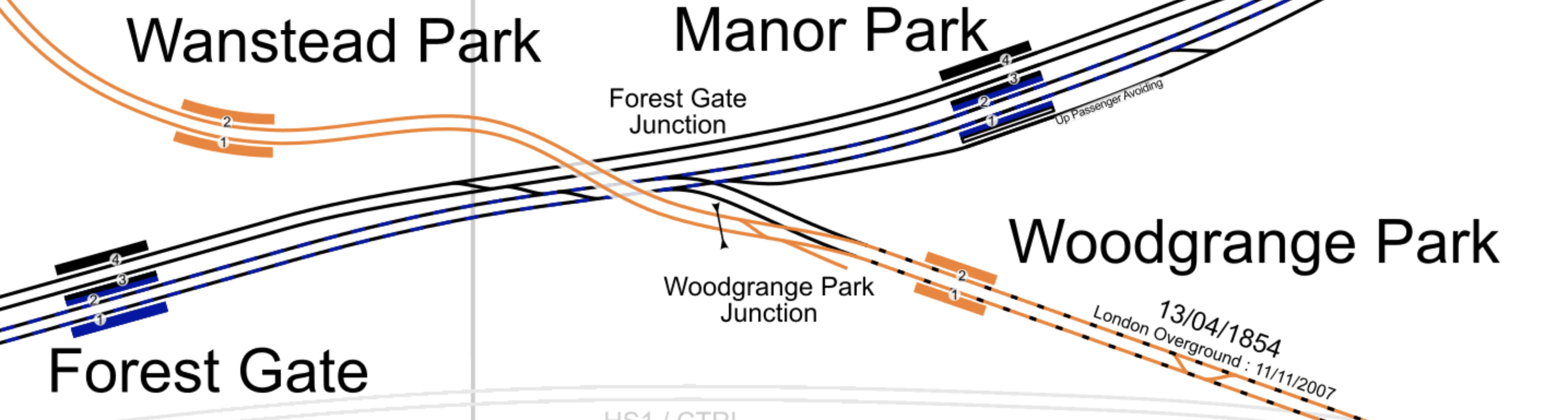
Note.
- The orange tracks are the Gospel Oak to Barking Line (GOBLin).
- Gospel Oak is to the North West and Barking is to the South East.
- The mauve-blue tracks are Crossrail, through Manor Park and Forest Gate stations.
- The black track are the fast lines into Liverpool Street station.
- Forest Gate Junction in the middle is regularly used by c2c trains accessing Liverpool Street, when there are engineering works.
I believe that with ERTMS signalling four or possibly six Crossrail tph could travel between Stratford and Barking stations via Maryland, Forest Gate and Woodgrange Park stations.
This second map from cartometro.com shows the lines through Barking station.
Note.
- Barking station is in the North-West corner of the map.
- The orange platform on the North side of Barking station is Platform 1, which is the current terminal of the GOBLin.
- After the Goblin is extended to Barking Riverside, the GOBLin services will share Platforms 7 and 8 with the Fenchurch Street to Grays services.
- Platforms 7 and 8 are on the South side of the station and they are connect to the GOBLin lines by a flyover.
- To the East of the station, the GOBLin route is shown in orange.
- The GOBLin turns South to Barking Riverside station, which is by the Thames.
I suspect that there is capacity for more trains.
- There will only be six tph through Platforms 7 and 8 at Barking station.
- There will be four tph over the flyover and through Woodgrange Park station.
I believe that terminating four Crossrail tph at Grays could be an interesting possibility.
The Junction Between The Barking Riverside Extension And The Tilbury Line
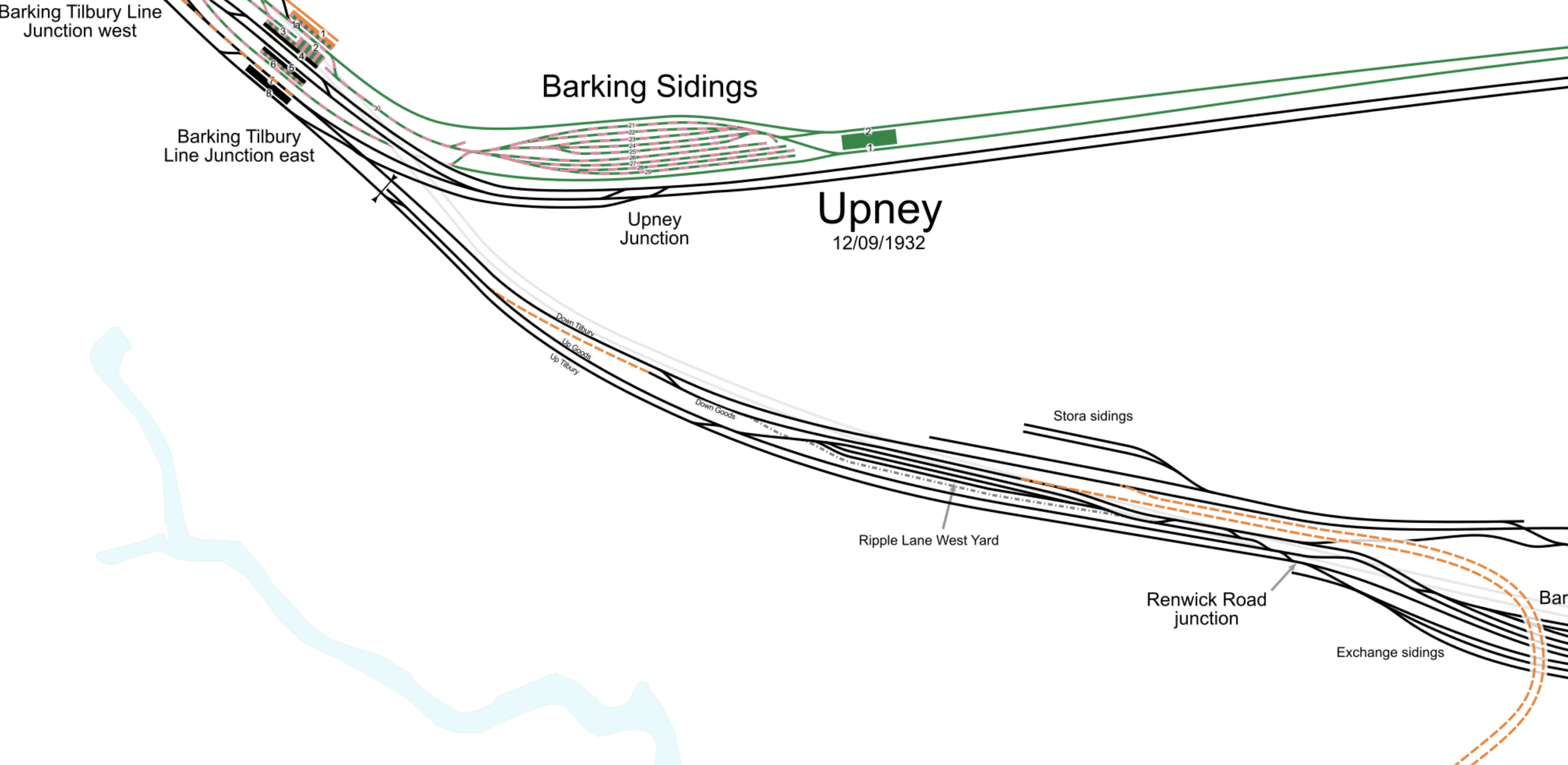
This map from carto.metro.free.fr shows the route of the Barking Riverside Extension of the Gospel Oak to Barking Line and how it connects to the c2c lines between Barking and Tilbury.

One big advantage is that the two c2c lines between Barking and Tilbury, go either side of the Barking Freightliner Terminal.
- The Down Tilbury Line between Platform 7 at Barking station and Dagenham Dock station goes around the Northern side.
- The Up Tilbury Line to Platform 8 at Barking station goes around the Southern side.
This is extremely convenient, as there is plenty of space between c2c’s busy tracks to build the flyover.
If you want to get a better look, click on the map and this will give you a larger image on which you can follow the two tracks from Dagenham Dock station.
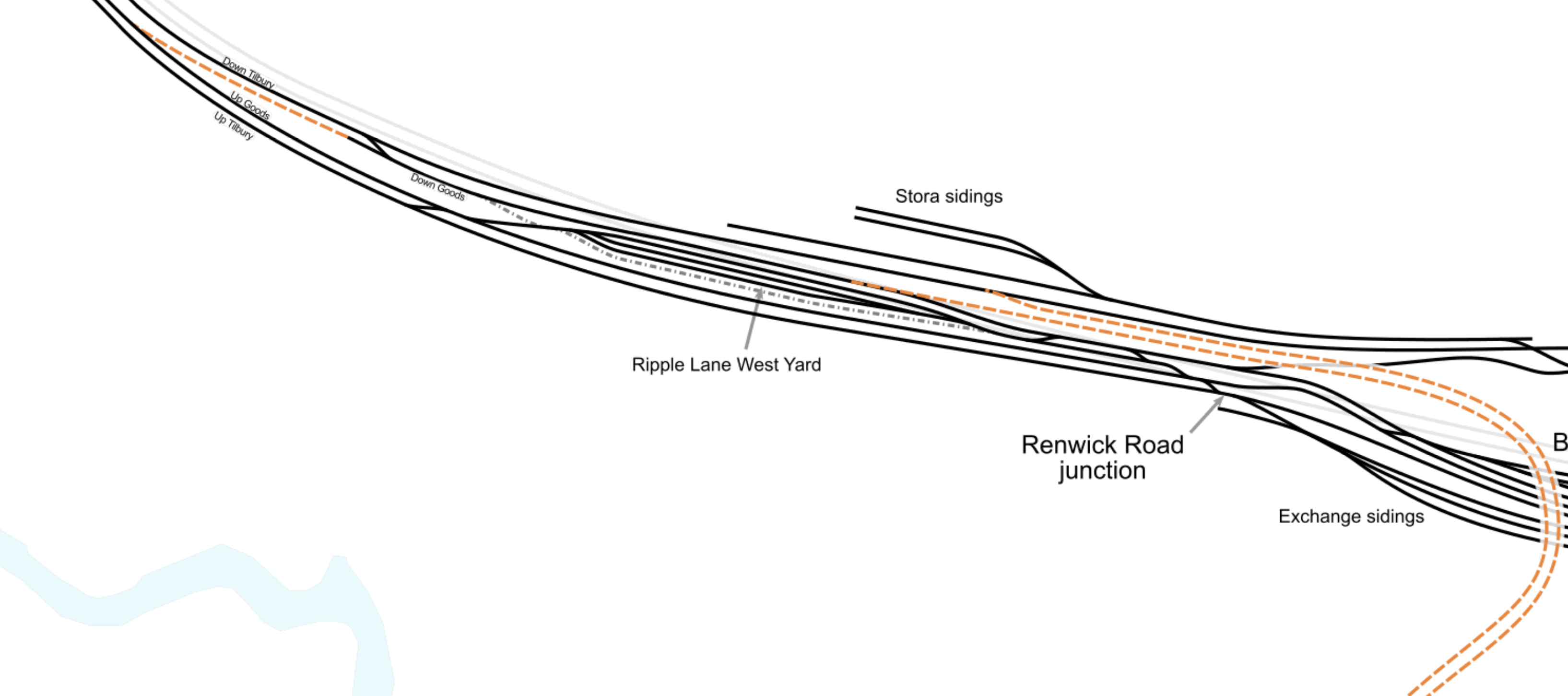
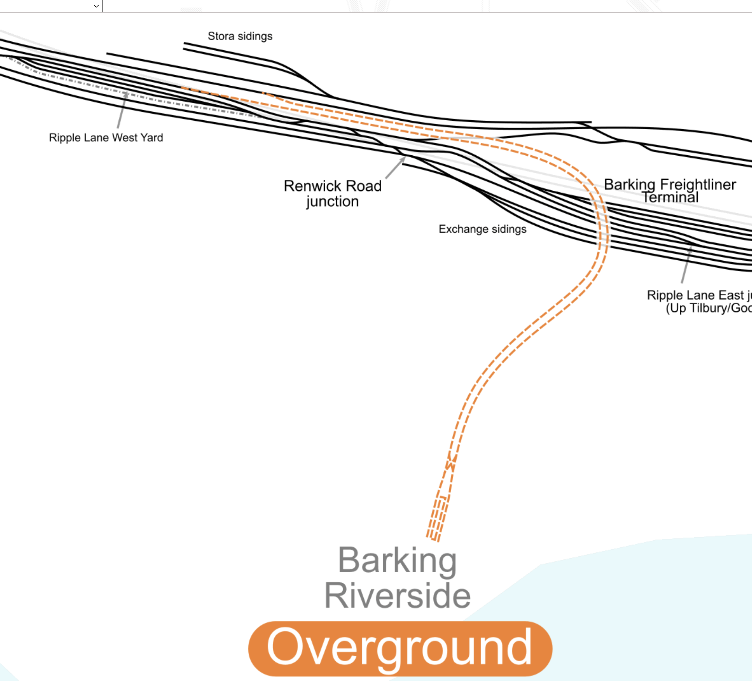
This second map from carto.metro.free.fr, shows the complicated tracks to the West of the Freightliner Terminal.
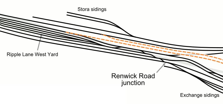
The Renwick Road bridge goes North-South over the tracks. I appears to cross, at the point, where the Stora sidings join the East-West track.
Note how the two new tracks connect the flyover to tracks that connect to Platforms 7 and 8 at Barking station.
This is a Google Map which shows where the Renwick Road bridge crosses the tracks.

The two new tracks will need to be squeezed under Renwick Road.
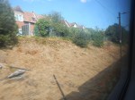
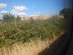
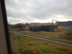
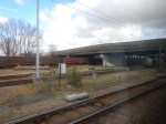
I took these pictures on a walk down Renwick Road, just to the South of the bridge, that takes the road over the railway lines.
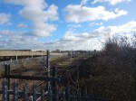
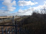
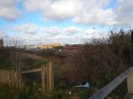

Unfortunately, most of Renwick Road is surrounded by high concrete walls.
But as these pictures show, there is quite a large amount of land crossed by a few sparse railway lines.
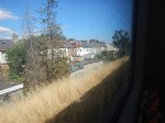
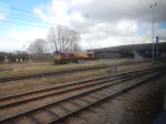
I then took a train between Barking and Rainham stations and was able to take a few pictures of work in the area of the proposed viaduct, which will go over the freight terminal.
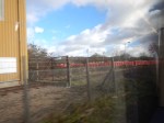

The red train was parked on theStora sidings at the top of the second map.
The top four pictures were taken going to Rainham station and the bottom four were taken coming back.
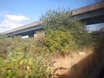
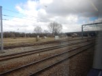
Tilbury Down Line Train-By
These pictures were taken from a train going to Grays station on the Tilbury Down Line.


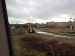

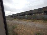
The last two picture show the Renwick Road bridge and the vehicle ramp leading to the freight terminal.
The Design Of The Viaduct
It looks to me, that two new tracks will do the following.
- Start to the West of Renwick Road bridge, with connections that take them to Platforms 7 (Down) and 8 (Up) at Barking station..
- Go through the safeguarded site of the future Renwick Road station and under Renwick Road.
- Climb on a viaduct, that will lift them over the freight terminal and the lines to Tilbury and continue to Barking Riverside.
It could be a spectacular ride.
Renwick Road Station
I walked to the Renwick Road bridge from the Renwick Road bus stop on the 173 bus from Dagenham Heathway station.
It was about four hundred metres along broken pavements and in freezing cold, but dry weather.
So a Renwick Road station will be appreciated by those, who live and/or work in the area.
Wikipedia says this about Renwick Road station.
The station would lie east of the proposed merge / diverge points with the Essex Thameside (Tilbury Loop Line) line along which c2c services operate, so whilst the station would not provide an interchange with the aforementioned c2c services, nor would the station’s construction disrupt those services. The new station could generate 5,000 homes.
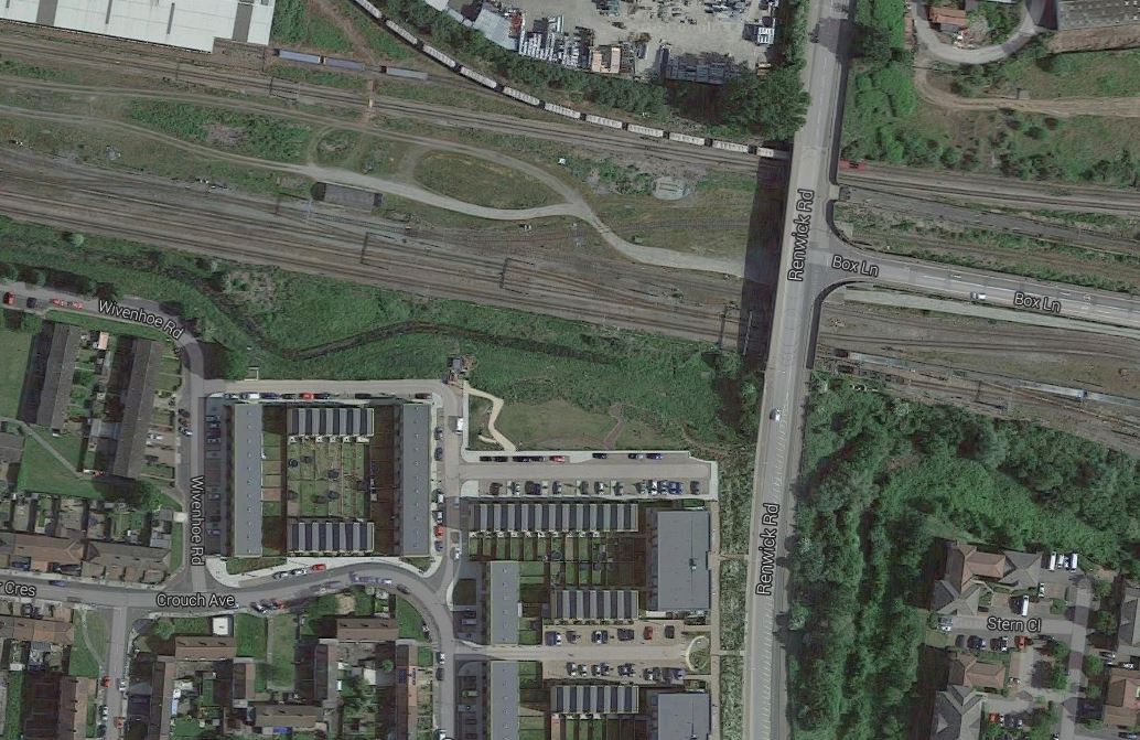
This Google Map shows the land to the West of Renwick Road bridge.

Note.
- The Stora siding at the top, where the red train was parked.
- The Down Tilbury Line going West-East towards the top of the map and connected to the sidings.
- The three lines towards the bottom of the map are currently the Down Goods, Up Goods and Up Tilbury
It could be that Network Rail could have decided to put the new Renwick Road station in the ample space between the lines.
The station could be very simple.
- A single island platform between the two tracks.
- The tracks could be generously spaced to allow a wide platform.
- The platform would have shelters and perhaps a coffee stall.
- The platform would be linked by stairs and a lift to Renwick Road.
It could certainly be built without disrupting c2c services.
Travelling Between Fenchurch Street And Renwick Road Stations
According to the Wikipedia extract, I included earlier, Renwick Road station, will not have a direct service to Fenchurch Street station.
Renwick Road station will be served by at least four London Overground trains per hour (tph) all day between Gospel Oak and Barking Riverside stations.
Currently, c2c provide the following services between Fenchurch Street and Grays station.
- Four tph in the Peak
- Two tph in the Off Peak
It is also planned that both services will share Platforms 7 and 8 at Barking station.
So passengers from Renwick Road and Barking Riverside stations wanting to go to London will get off a train on Platform 8 at Barking station and wait for the first c2c service to Fenchurch Street station.
I would also suspect that c2c will increase the Off Peak service to match the frequency of the Gospel Oak to Barking Riverside service.
Beam Park Station
Beam Park station is another new station planned for the area.
- It will be between Dagenham Dock and Rainham stations.
- It will be built to serve three thousand new houses.
This station will make it more likely that c2c will run four tph between Fenchurch Street and Grays stations.
Travelling Between Grays And Barking Riverside Stations
This will require a change at Barking station.
This change would be a walk across the island platform 7/8, which would be step-free.
Conclusion
Train services along the Thames from Barking to Grays are going to get a lot better.
The Site Of Renwick Road Station
On the way back from Dagenham Dock station, I passed the proposed site of Renwick Road station.
This Google Map shows the area.
Renwick Road Area
The station will be on the western site of the bridge that takes Renwick Road over the railway.
These pictures were taken from the train.
There’s plenty of space for a station, but I do think it could be exceeedingly bleak on a cold day.
